






9th section Werra-Burgen-Steig Hessen
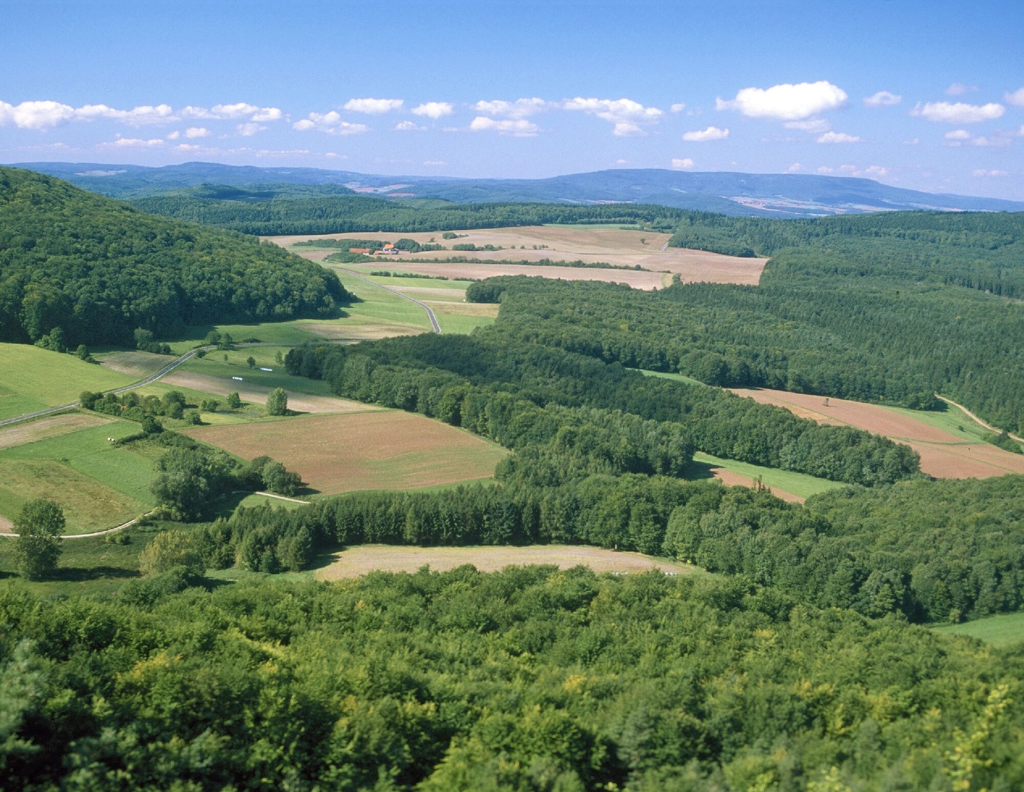
Certified long-distance hiking trail from Hann. Münden to the Tannenburg near Nentershausen. The trail runs 133 km through the Geo-Nature Park Frau-Holle-Land.
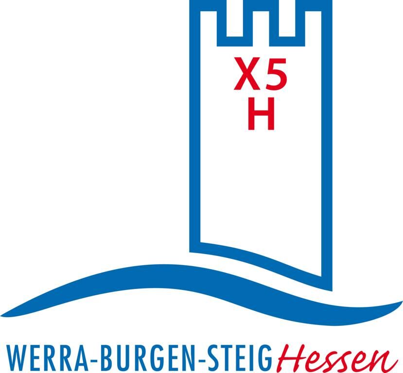

At the edge of the village of Röhrda, cross Federal Road 7 and follow the ARS NATURA wooden signposts uphill. It doesn’t take long until you encounter the artwork by artist Barbara Magdalena Neuhäuser entitled “BEING – TWO BEING – ONE BEING – BECOMING WHOLE”. Shortly afterwards, Markus Elhardt from Kempten presents his thoughts on the topic of reunification titled “Separated – United.” At the junction just before the Schieferstein hut, you reach the Werra-Burgen-Steig Hessen again. Together with ARS NATURA and the Barbarossa trail X8, the X5 H marking points to the right. In the middle of the forest, you come across “The Et-Sign” by artist Serine Weiner.
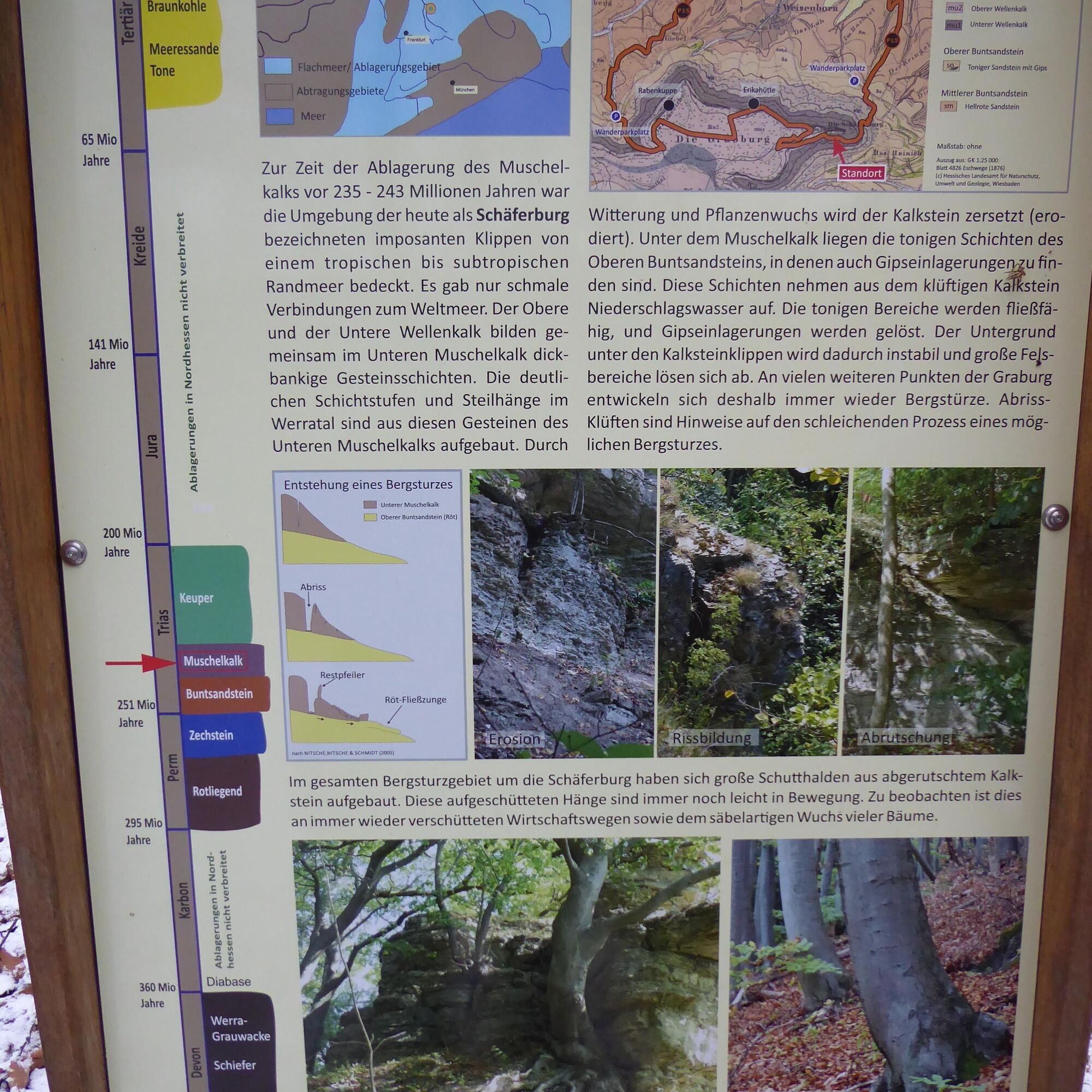
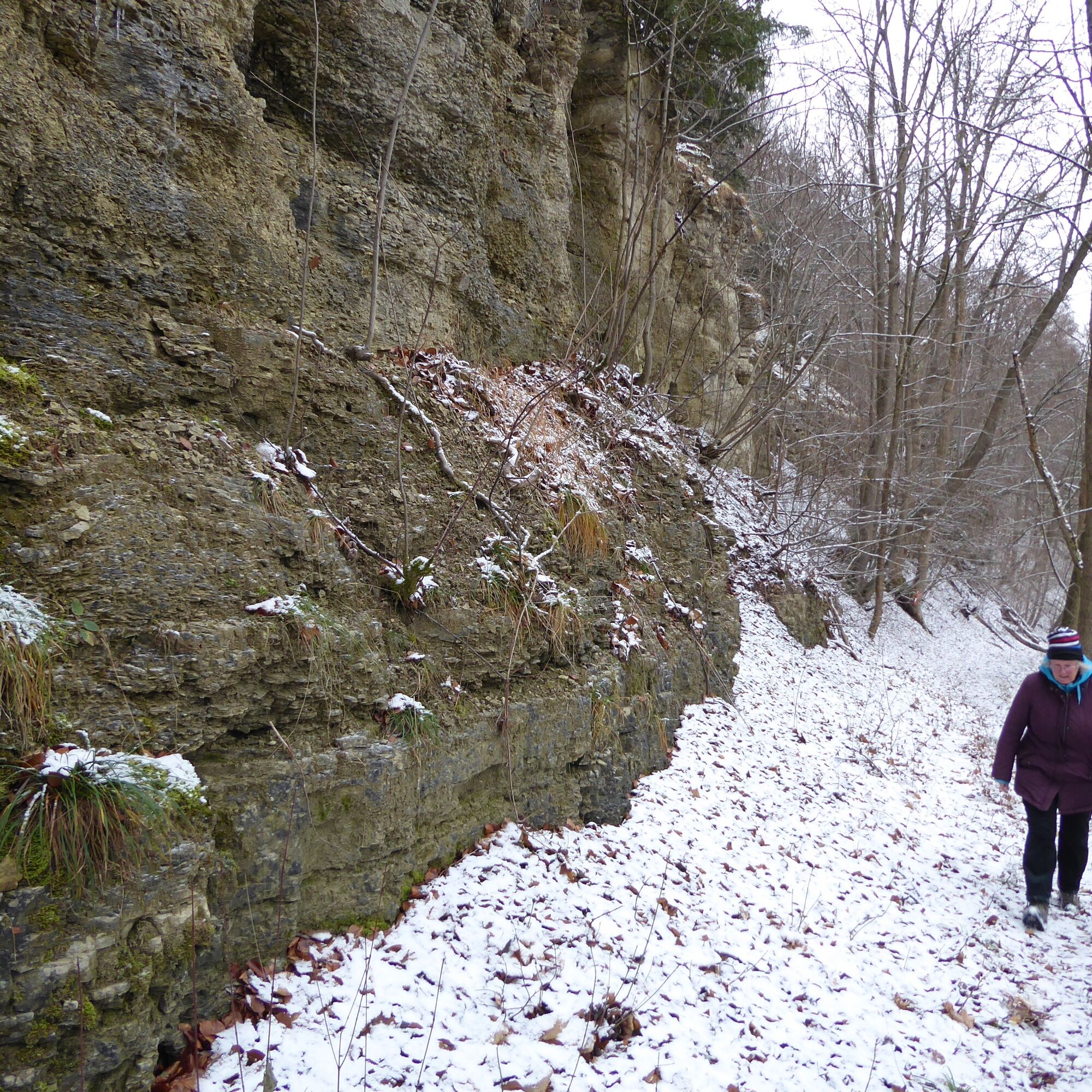
After about 700 m, you reach the edge of the forest at a large clearing. It is only a few steps before you first follow the diverging path back into the forest and then turn right again. At the next junction, keep left and you will soon be standing in front of a dovecote. The work “The Letter” was created by the artists Bianca Gabriel and Julia Wandel. About 25 m after the “Dovecote,” turn right and shortly afterwards follow the path to the left. You are now in the Graburg nature reserve. After about 600 m, the Werra-Burgen-Steig Hessen turns sharply to the right. The path runs straight ahead and soon you approach a junction with a clearly visible hunting stand. After turning left, you will soon be greeted by Oliver Seeger’s “Cocoon.”
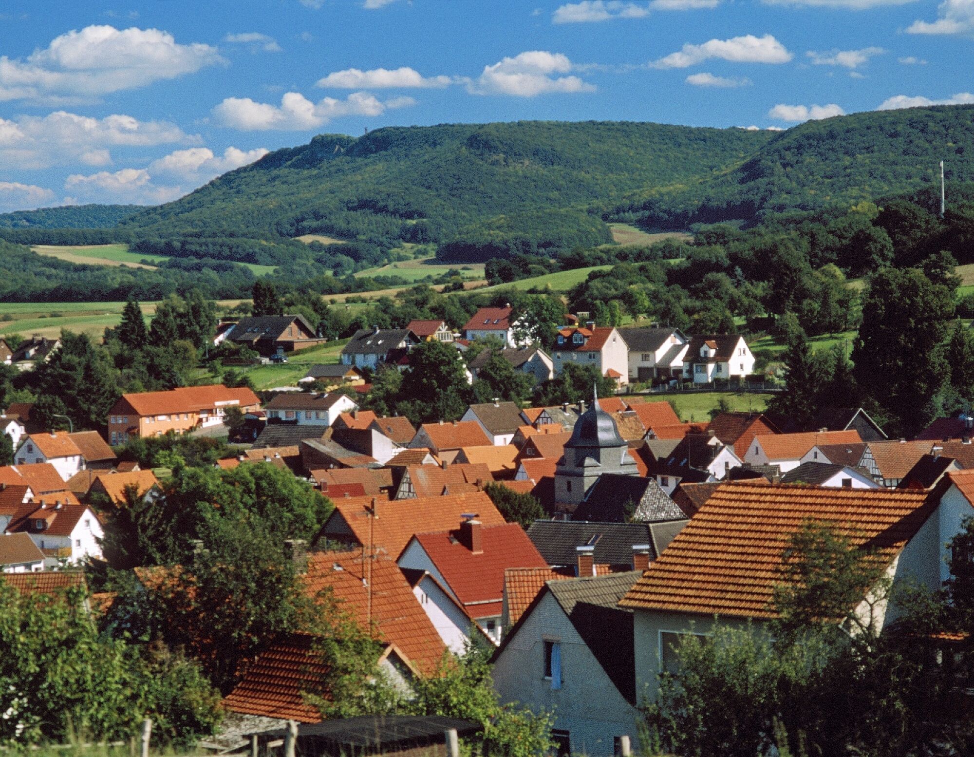
Continue your hike to the right toward the Erika hut, about 300 m away. The shelter is a perfect spot to rest; from the benches at the steep edge, you have a direct view of Weißenborn deep down in the valley. Then continue to the “T” by Wiebke Schoon.
Here you will find a path that you follow to the right, past a boundary stone, to the next artwork. “May Drums for Animals and Humans VIII” is by local (Spangenberg) artist and co-founder of the ARS NATURA Foundation Karin Lina Adam. Shortly after the May drum, the X5 H marking leads you past a hunting stand and a conspicuously solitary standing tree through a junction area. Then it goes sharply left downhill to the next junction, where you keep left again (do not take the sharply diverging path!). After about 150 m, turn left again at the junction where “The Architects” are already waiting for you. The work was created by Jochen Guinand from Kaufungen.
Only a few minutes later, Hama Lohrmann has spread his “Ringgau Circle” on a forest clearing. To the right, the forest is interrupted by a field extending to the path; you pass a hunting stand and shortly afterwards turn left onto the crossing path toward Heldrastein. A few meters off the path, “The Forest Runner” looks over shrubs and bushes. After about 130 m at the junction, the ARS NATURA and the Werra-Burgen-Steig Hessen separate. The ARS NATURA (and thus also the Barbarossa trail X8) continues straight ahead to the hiking parking lot Rambach at the country road L3300, about 700 meters away. The Werra-Burgen-Steig Hessen turns right and leads continuously downhill through the forest for about 1.5 km. As soon as you leave the forest, you hike over the meadow path that branches off to the left, keep right at the next T-junction, and arrive at Rittmannshausen. The next accommodation option on the trail is located in section 10 in a holiday apartment (Zum alten Hengststall) in Herleshausen-Altefeld. The Teichhof from Ringgau-Grandenborn offers pickup from Rittmannshausen and will gladly take you back the next morning.
Tak
For more information, visit https://www.werra-burgen-steig-hessen.de/
Popularne wycieczki w okolicy
-
5,0
Premium route P5 Plesse - Walkable Green Belt
średniWędrówka 9,25 km -
5,0
Premium route P21 Point India - Walkable Green Belt
średniWędrówka 14,9 km -
Premium route P13 Boyneburg
średniWędrówka 17,4 km -
Premium trail P6 Heldrastein - Walkable Green Belt
średniWędrówka 12,8 km -
Premium route P3 Blaue Kuppe - Eschwege
ciężkiWędrówka 19,0 km -
Premium route P15 Graburg - Walkable Green Belt
średniWędrówka 13,8 km -
Large Discovery Route Through the Werratal from Eisenach - Thuringia
średniJazda na rowerze 69,8 km -
Premium route P19 Datterode, Goose Lads' Route
średniWędrówka 9,55 km -
Premium path P20 Ulfener Karst
średniWędrówka 11,5 km -
Premium path P12 Mainzer Köpfe - Walkable Green Belt
średniWędrówka 9,57 km
Wędrówki i tropienie


Nie przegap ofert i inspiracji na następne wakacje
Twój adres e-mail została dodana do listy mailingowej.





