







Premium path P20 Ulfener Karst
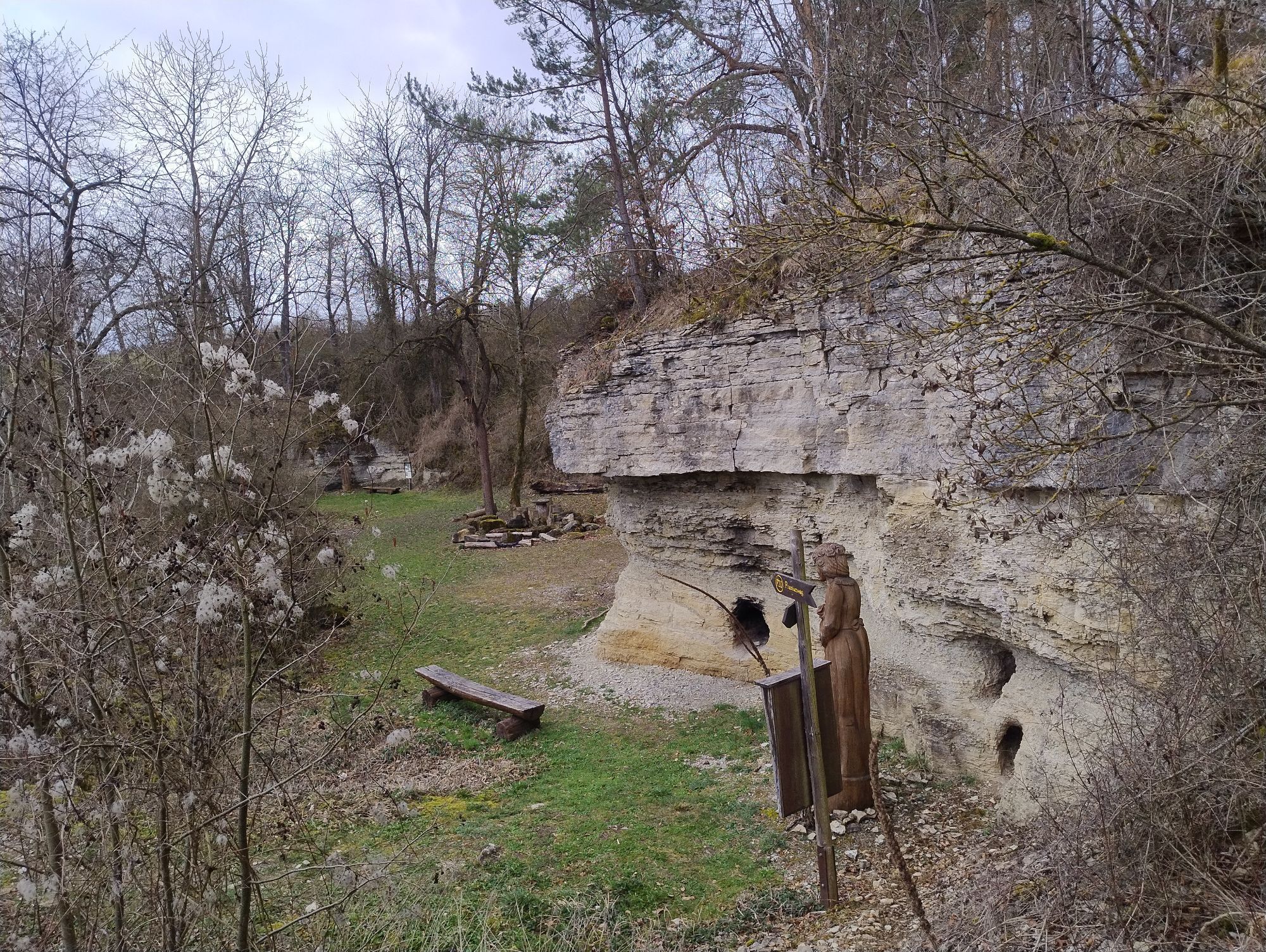
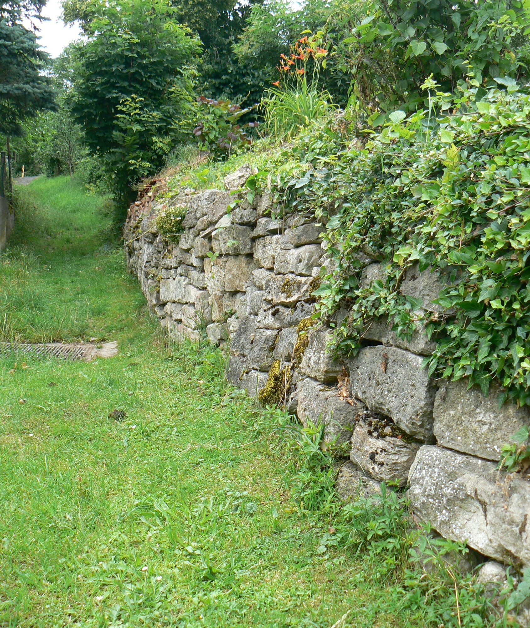
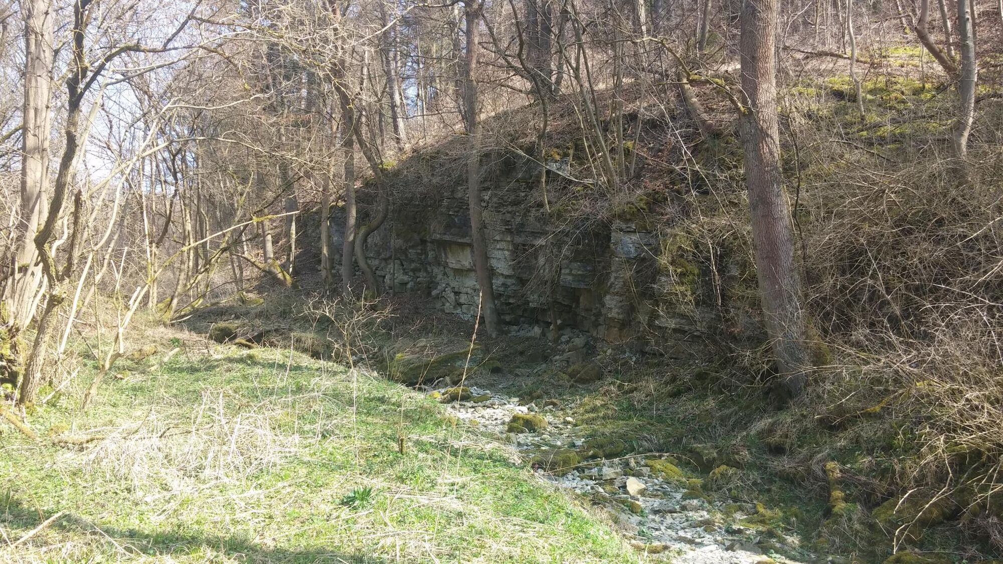
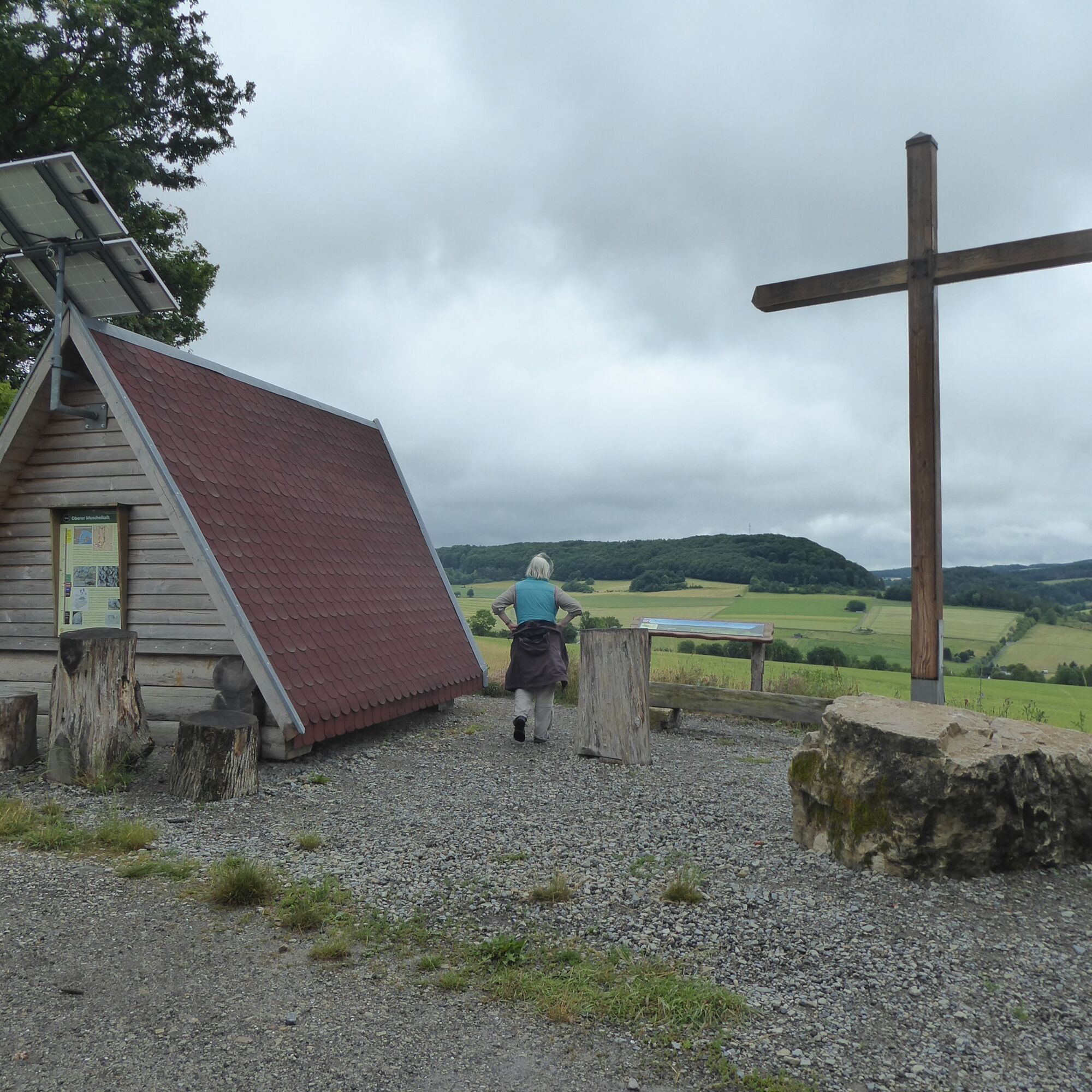
From Ulfen, follow the dry valley in the Renda trench with its karst springs, climbing up to the muschelkalk heights of the Ringgau plateau. The high plateau is a popular resting area for migratory birds....
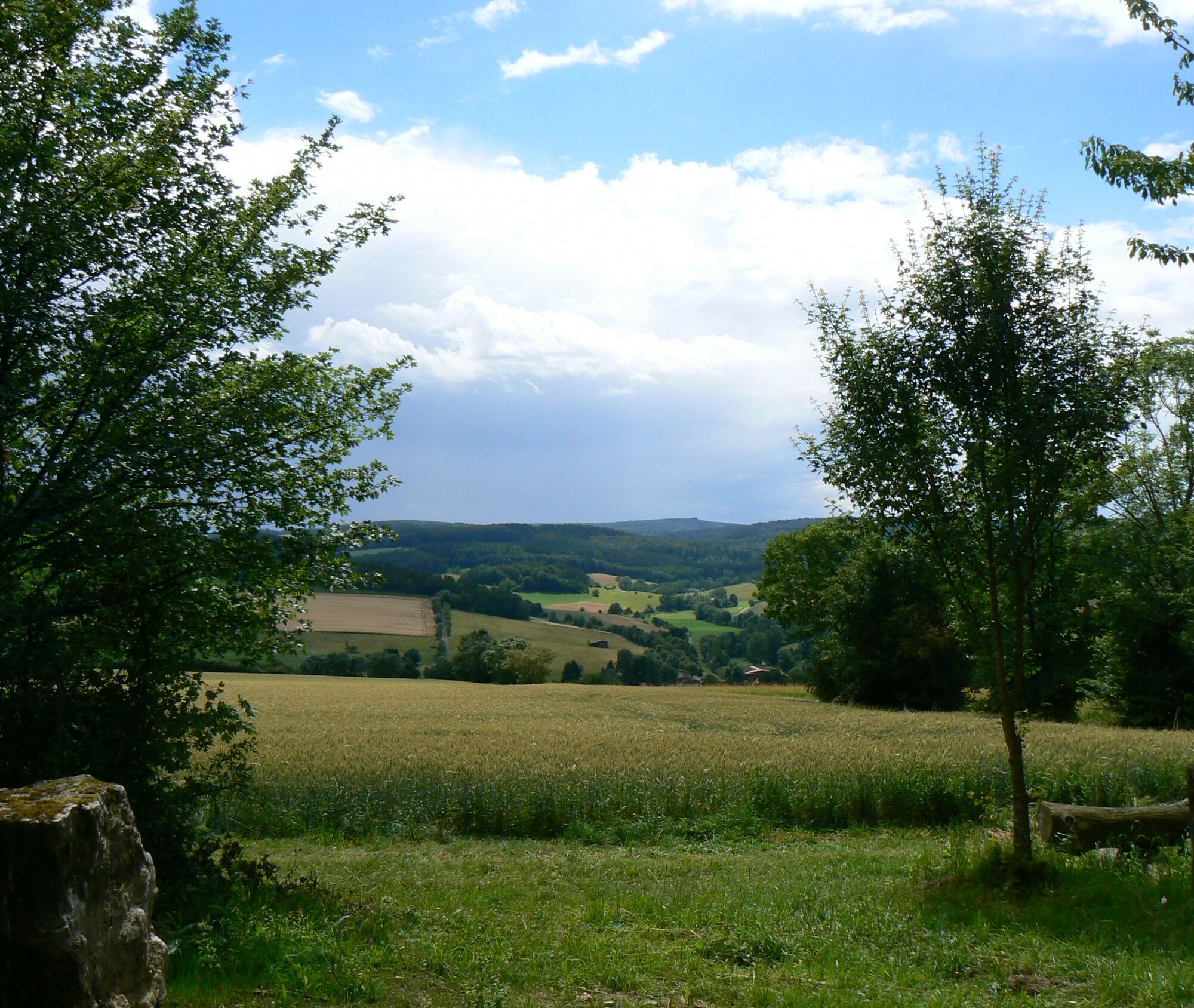
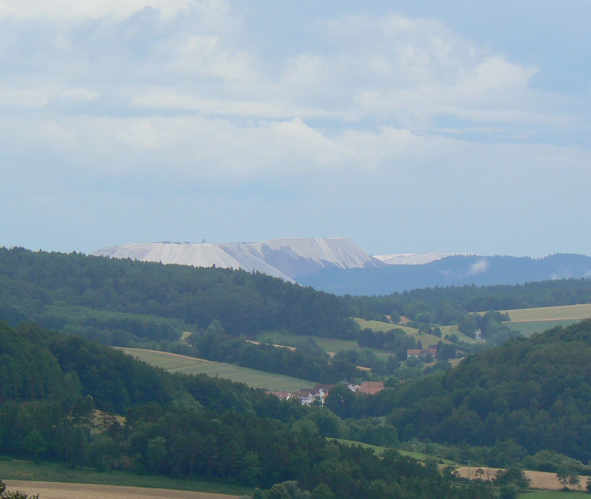
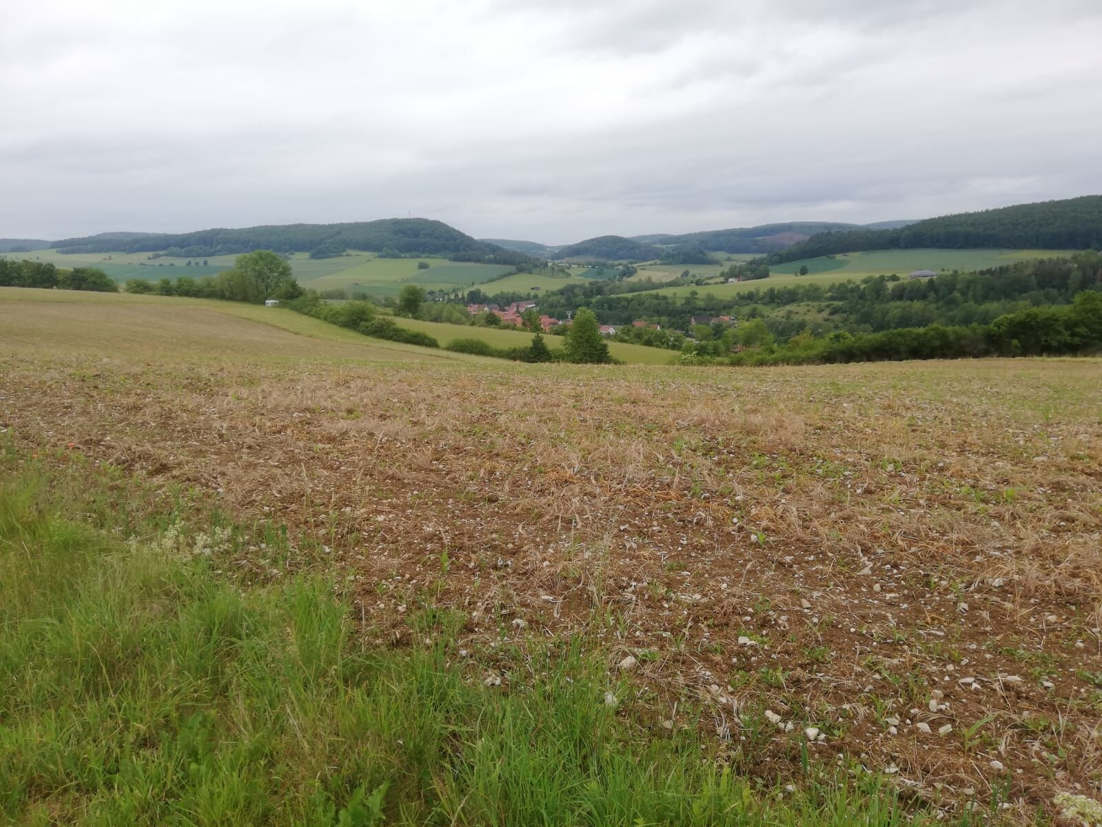
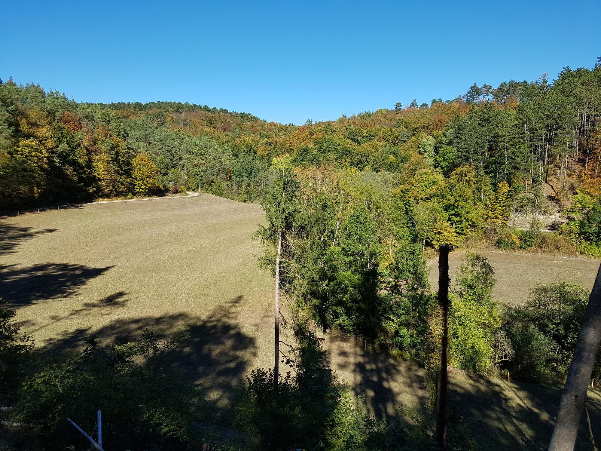
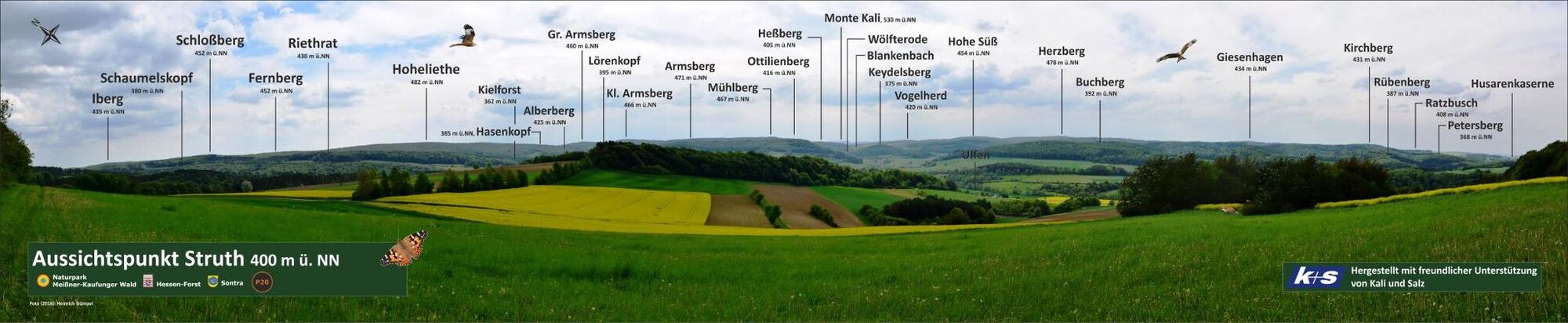
From Ulfen, follow the dry valley in the Renda trench with its karst springs, climbing up to the muschelkalk heights of the Ringgau plateau. The high plateau is a popular resting area for migratory birds. You hike through forest, past agricultural fields, meadows, and forest edges, enjoying several views into the Ulfetal valley and over to the potash mountains. Part of the path runs together with the premium path P13 Boyneburg, so you can combine both routes if desired. A major long-distance trade route, the "old Nuremberg road," already passed through the Ulfetal valley in ancient times, enabling the town to earn many guilders.
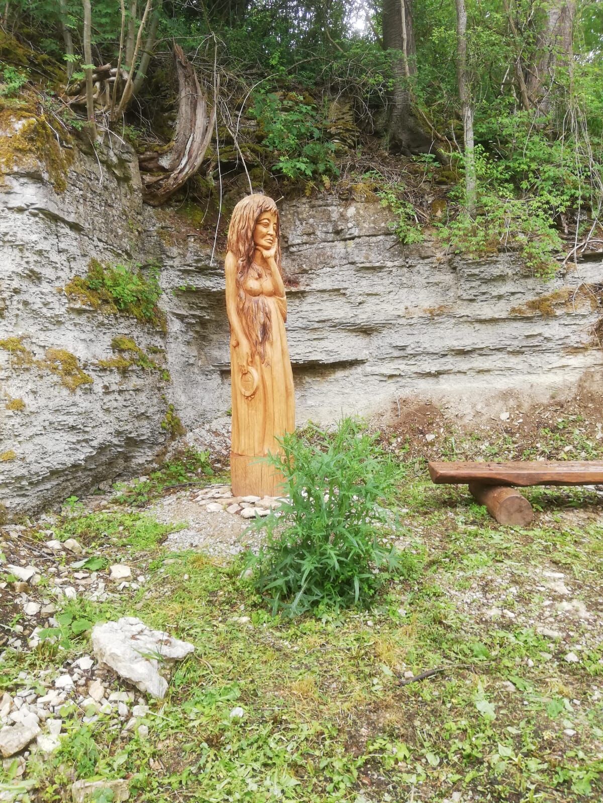
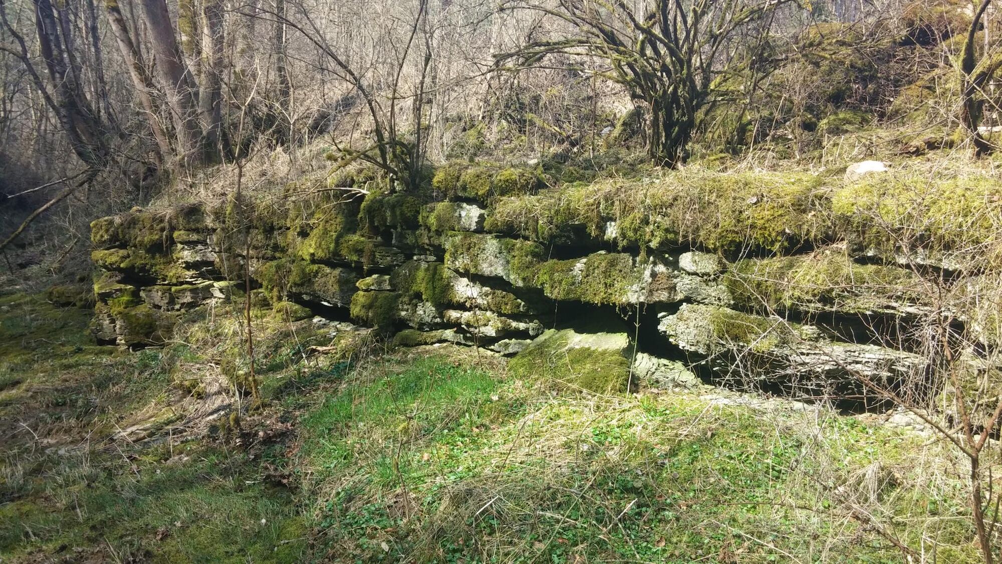
Notable karst features around Ulfen also include the Wichtellöcher, around which two legends revolve. The hiking trail leads directly to these geological features, which are extensively signposted on site.

Tak
Tak
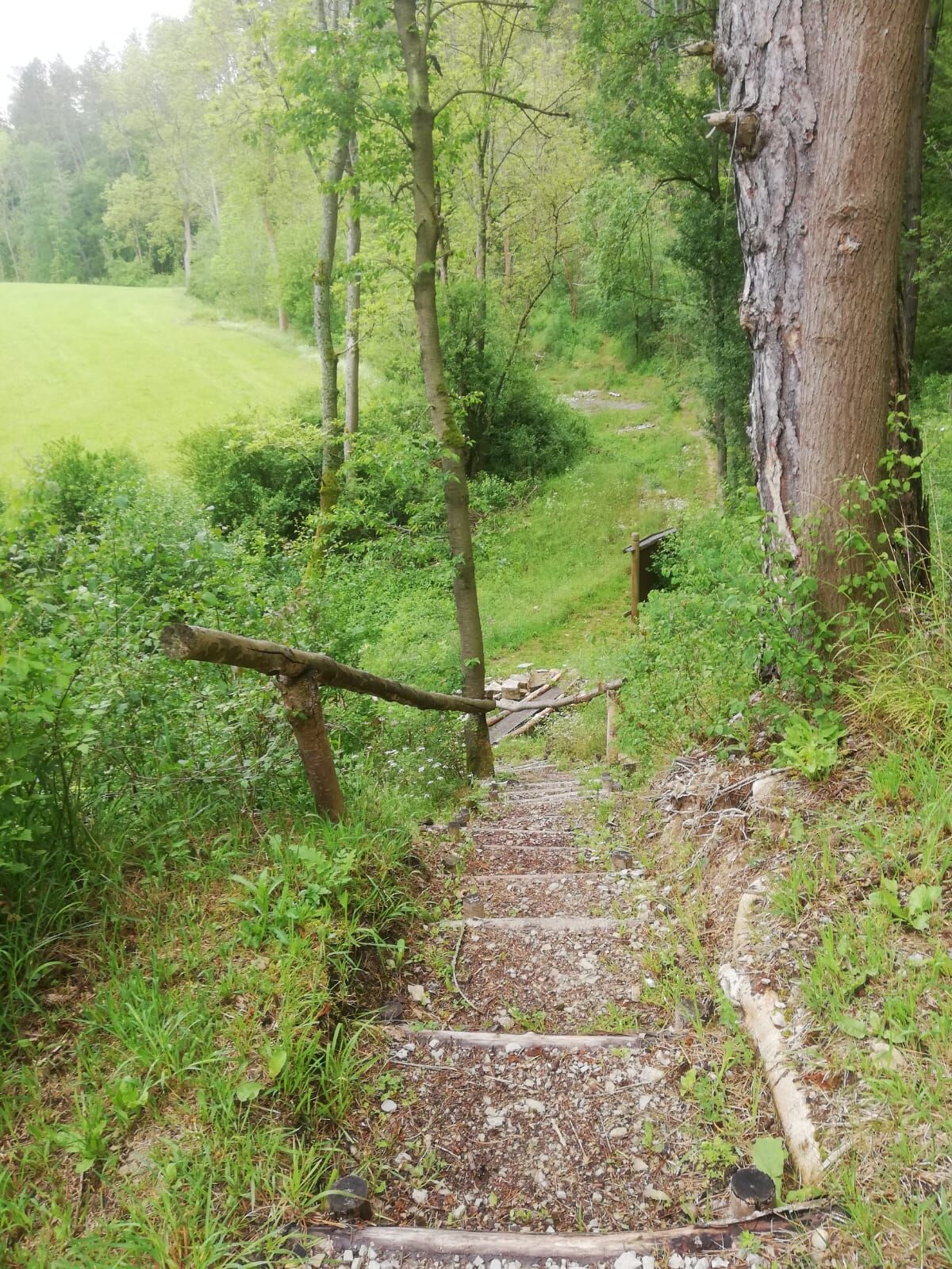
The route is moderate with demanding sections
Please note the current information under Important notes on current restrictions on our hiking trails (naturparkfrauholle.land)
Arrival by public transport: Sontra station, then by bus to Ulfen: Stop: Sontra-Ulfen Kindergarten. Service tel. 0800 939 0800, www.nvv.de or www.vsninfo.de/ or www.bahn.de Passenger transport: Andrea Witzel, Sontra, Tel. 05653-1640 and Huse, Ringgau-Röhrda, Tel. 05659 460;
36205 Sontra-Ulfen, hiking car park at the sports ground, Rendaer Str.; Sontra-Breitau (with access path)
Tak
Mountain station Schmeddn Alm
Seesenweg
836205 Sontra-Breitau
01511 43 41 137
www.diegels-gute-stuben.de
Heuhof Breitau
Hostel, restaurant, café, farm shop
Keudelsgasse
636205 Sontra-Breitau
05653 914513
www.heuhof-breitau.de
Country inn Zum Heiligenberg
Heiligenberg 11
36205 Sontra-Breitau
05653 479
www.landgasthof-heiligenberg.de
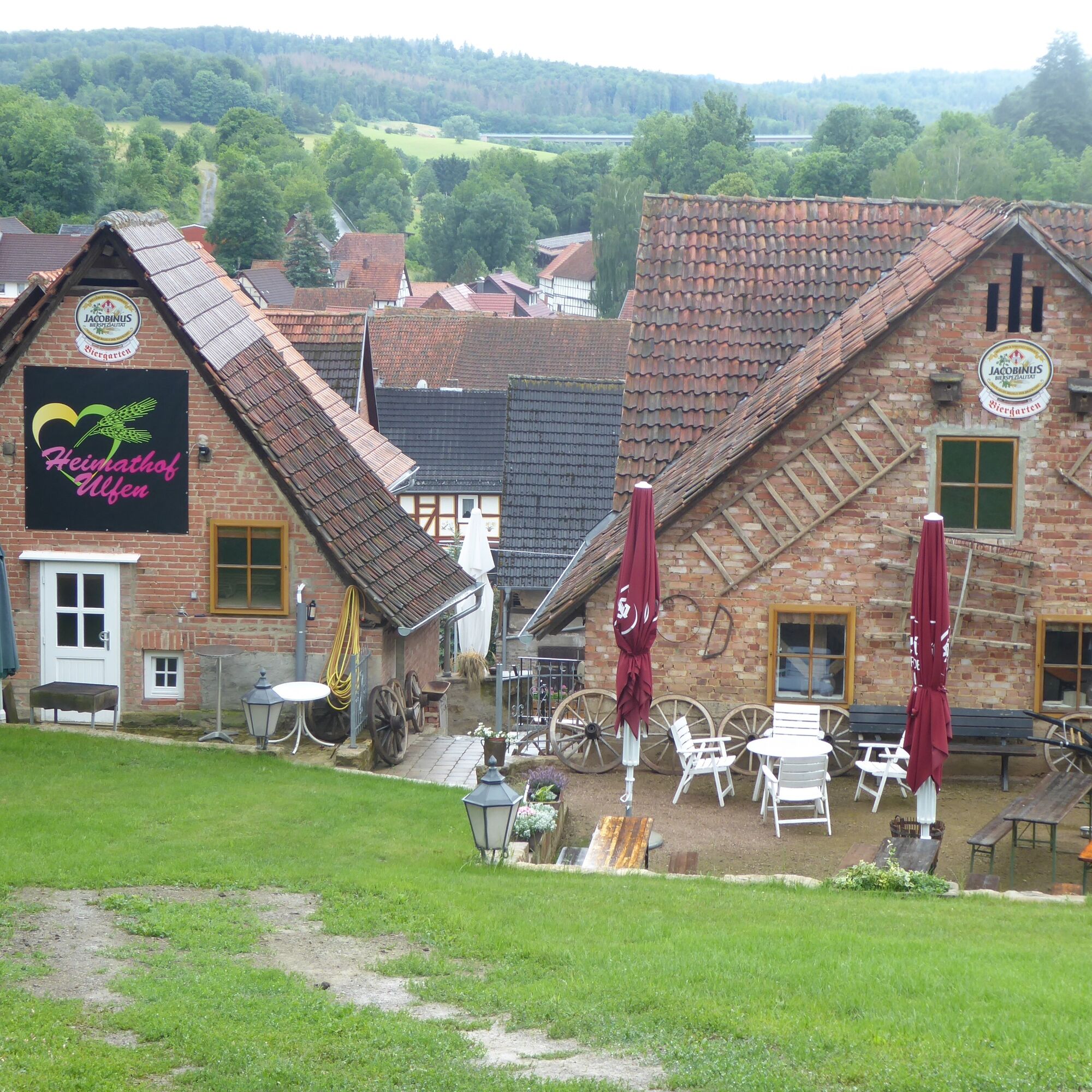
Heimathof Ulfen
36205 Sontra-Ulfen
Information on accommodation options, excursion tips, guided hikes and news from the Geo-Nature Park Frau-Holle-Land: www.naturparkfrauholle.land, Tel. 05657 64499-0 or 0561 1003-1382.
Information about the famous horse painter Pforr from Ulfen.
Ulfen is the birthplace of Johann Georg Pforr (1745-1798), a well-known horse painter whose paintings are partly on display in the Neue Galerie in Kassel.
Popularne wycieczki w okolicy
-
5,0
Premium route P21 Point India - Walkable Green Belt
średniWędrówka 14,9 km -
Premium route P13 Boyneburg
średniWędrówka 17,4 km -
Premium trail P6 Heldrastein - Walkable Green Belt
średniWędrówka 12,8 km -
Premium route P3 Blaue Kuppe - Eschwege
ciężkiWędrówka 19,0 km -
Premium route P15 Graburg - Walkable Green Belt
średniWędrówka 13,8 km -
Premium route P17 Waldkappel Mountains
średniWędrówka 17,4 km -
Premium route P19 Datterode, Goose Lads' Route
średniWędrówka 9,55 km -
Premium route P18 Tannenburg
średniWędrówka 8,34 km -
Hike - The freedom of the storks - Thuringia/Hesse
światłoWędrówka 16,8 km -
Premium route P26 Holstein
średniWędrówka 8,25 km
Wędrówki i tropienie


Nie przegap ofert i inspiracji na następne wakacje
Twój adres e-mail została dodana do listy mailingowej.





