







Premium route P18 Tannenburg
The P18 leads on its predominantly path-like trails to wonderful distant views again and again. Mining heaps on the way suggest that hikers north of Süß and near Bauhaus are at the foot of an old mining...
The P18 leads on its predominantly path-like trails to wonderful distant views again and again. Mining heaps on the way suggest that hikers north of Süß and near Bauhaus are at the foot of an old mining area. Copper shale, cobalt, nickel, and barite mining have been recorded in the Richelsdorf Mountains since 1460.
Since 1300, Tannenberg Castle, along with the von Baumbach family, has shaped the history of Nentershausen and its surroundings. Today, the old manor house is a reminder of this. The route is moderately difficult and can be shortened at several points.
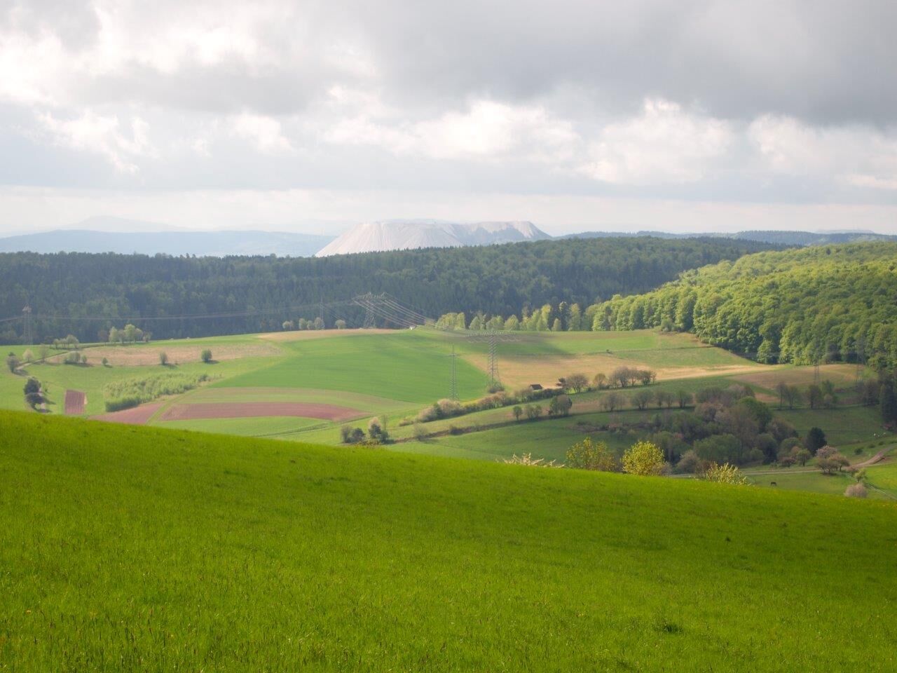
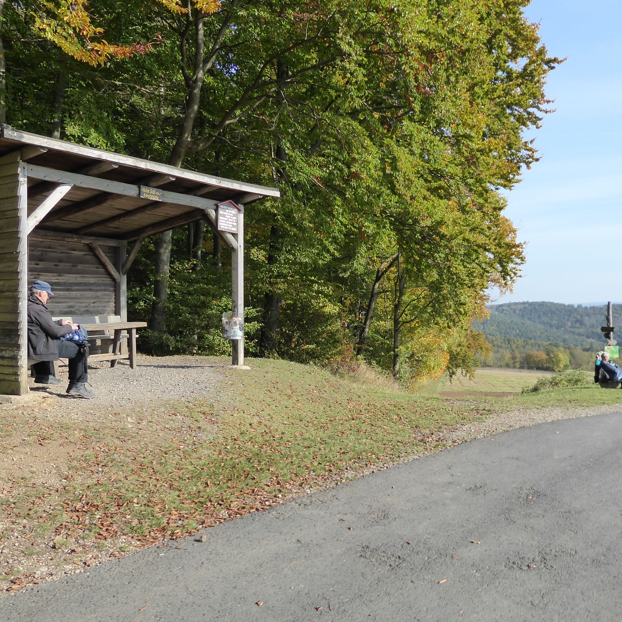

From the Schweinrevier hiking car park, start the wooded route towards Hohe Süß, where you will be rewarded with wonderful views. On the way back to Nentershausen, you might take a short break at the lawn bench beech tree. If you wish to visit the medieval Tannenburg for refreshments, you can take the signposted shortcut afterwards or stop at one of the houses in the village before returning to the starting point.
Refreshments:
Tavern and beer garden Tannenburg Tel. 06627 8693, www.tannenburg.de
Country inn Tannenhof Tel. 06627 314, www.tannenhof-nentershausen.de
Trattoria Toscana, Tel. 9154990, www.trattoria-toscana.de
Accommodation
Holiday village at Burgensteig, Tel. 06627 212, www.feriendorf-burgensteig.de
Baumbach estate, Tel. 06627 553 www.gutshof-baumbach.de
Guesthouse Schmidt, Tel. 06627 312, www.pensionkwschmidt.de
Apartment Katharina Tel. 06627 8579, www.ferienwohnung-katharina-nentershausen.de
Nenters House, Tel. 06627 915747, www.nentershaus.de
Country inn Tannenhof Tel. 06627 314, www.tannenhof-nentershausen.de
Miners Creek Trailcamp, www.miners-creek.de
More accommodation options: www.naturparkfrauholle.land
Tak
Moderate difficulty route, sturdy hiking shoes recommended
Please note the current information at Important information on current restrictions on our hiking trails (naturparkfrauholle.land)
Via A4, federal road 27 or federal road 400
Route planner of the North Hessian Transport Association: www.nvv.de
Bus line 260, stop Nentershausen Oderstraße
A hiking car park is equipped with information boards and can be used free of charge. Hiking car park Schweinerevier, on K71, Ulfer Weg, 36214 Nentershausen. Further free parking spaces are available in the village and near the Tannenburg.
Tak
Information on accommodation, excursion tips, guided hikes and news from the Geo-Nature Park Frau-Holle-Land: www.naturparkfrauholle.land, Tel. 05657 64499-0 or 0561 1003-1382.
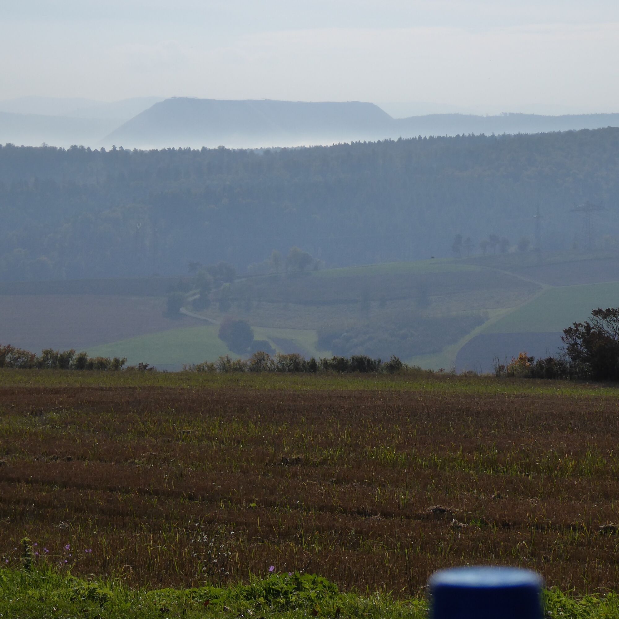
From Hohe Süß, you have a magnificent view over the land.
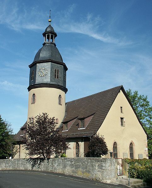
You should definitely take a look inside the Bauern-Baroque Church, whose tower dates from the 15th century. The interior is completely painted and the wooden barrel vault spans the room without pillars.
Visit the Mining and Local History Museum Nentershausen. It is open from Good Friday to 31.10., Sundays and public holidays from 1 to 5 pm or by appointment: Tel. 06627 274.
At the museum, take a ride on the historic miner's railway “Ruhlchen”: Please register at least one week before the ride with the train conductor, Heiner Schmidt, 06627 919591. www.bergbaumuseum-nentershausen.de
Popularne wycieczki w okolicy
-
Premium route P13 Boyneburg
średniWędrówka 17,4 km -
4,0
Thuringian long-distance cycle routes - 02 - Werra Valley Cycle Path - Stage 4: Bad Salzungen → Eisenach
średniKolarstwo długodystansowe 77,0 km -
Premium path P20 Ulfener Karst
średniWędrówka 11,5 km -
Hike - The freedom of the storks - Thuringia/Hesse
światłoWędrówka 16,8 km -
Premium route P26 Holstein
średniWędrówka 8,25 km -
Werra Water Hiking 5: Vacha - Berka/Werra
średniKajak / Canoe 23,5 km -
11th section Werra-Burgen-Steig Hessen
ciężkiWędrówka 16,0 km -
Glück-Auf-Radweg
Jazda na rowerze 33,1 km -
Werra Water Hiking 6: Berka/Werra - Hörschel
średniKajak / Canoe 26,1 km -
With the hunchbacked meat messenger through the Eltetal - RWW 3
światłoTrasa tematyczna 10,4 km
Wędrówki i tropienie


Nie przegap ofert i inspiracji na następne wakacje
Twój adres e-mail została dodana do listy mailingowej.





