







With the hunchbacked meat messenger through the Eltetal - RWW 3
The hunchbacked meat messenger Limpert was sent by the Count of Brandenburg to Gerstungen to get fresh meat. What happened to him? Find out!
From the parking lot at Brandenburg, walk towards Lauchröden,...
The hunchbacked meat messenger Limpert was sent by the Count of Brandenburg to Gerstungen to get fresh meat. What happened to him? Find out!
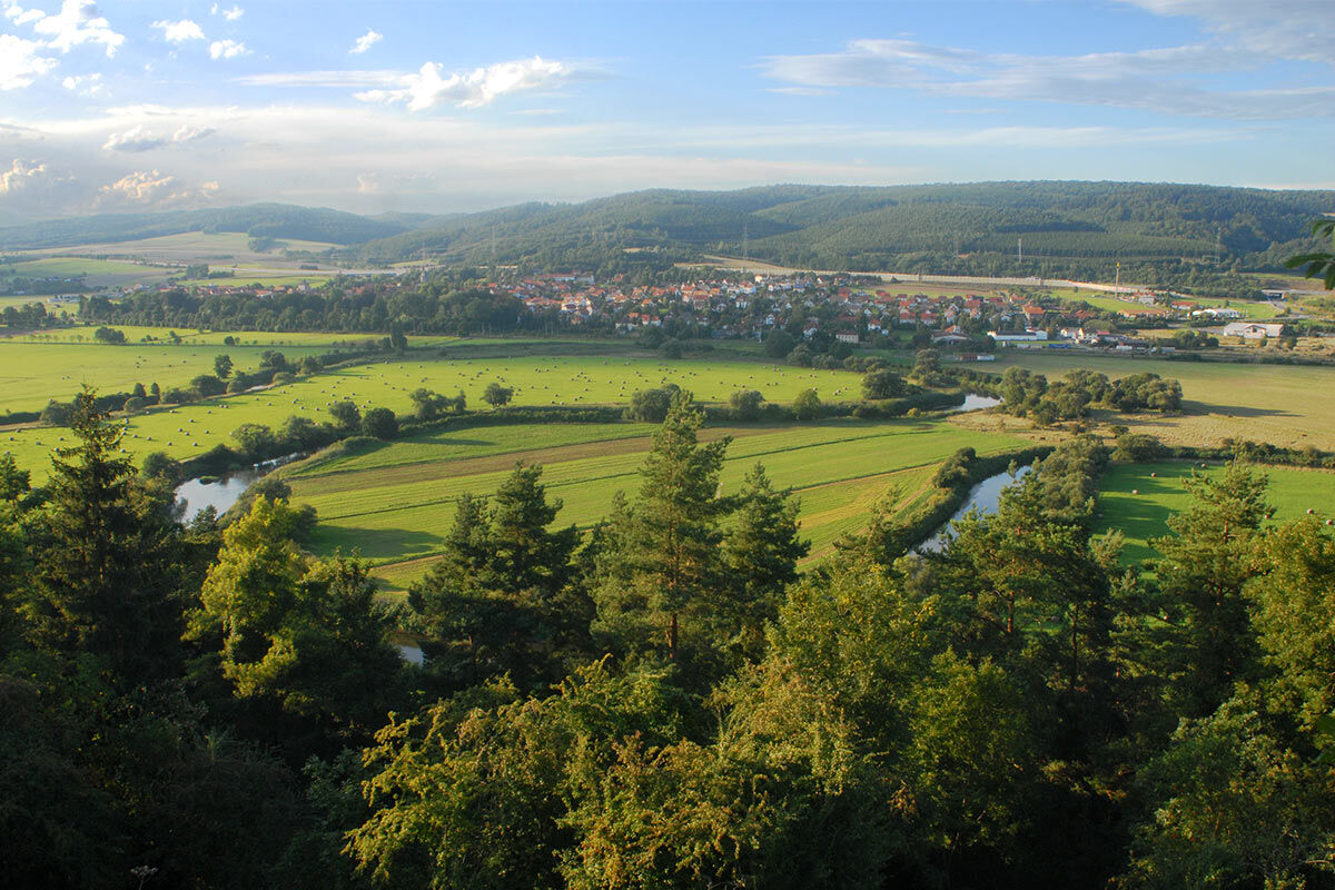
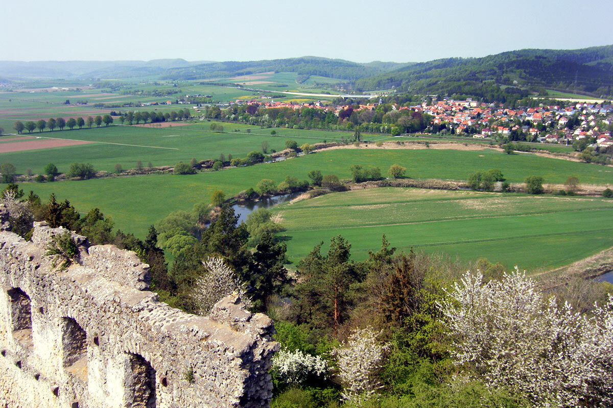
From the parking lot at Brandenburg, walk towards Lauchröden, then uphill left on the "Herdaer Weg" into the forest area "Böller." The "Panzerweg" leads downhill into the lovely Eltetal. At Rimbachsmühle, ascend on route X5 towards Brandenburg ruins. The climb is rewarded with a fantastic view of the castle and the Werra valley. Then descend back to the parking lot.
If the ascent is too strenuous, you can also return through the village of Lauchröden along the main street to the parking lot.
There are dining options available in Lauchröden.

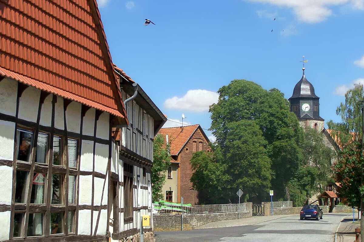
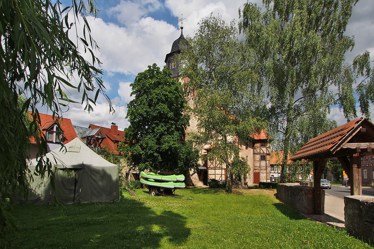
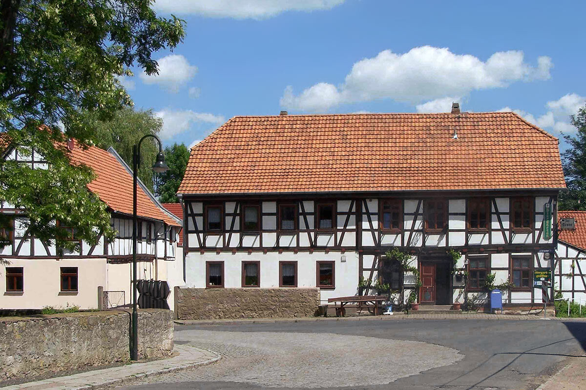
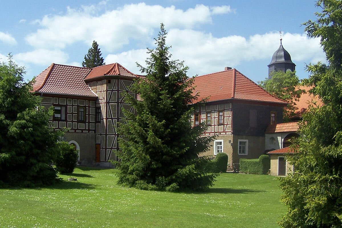
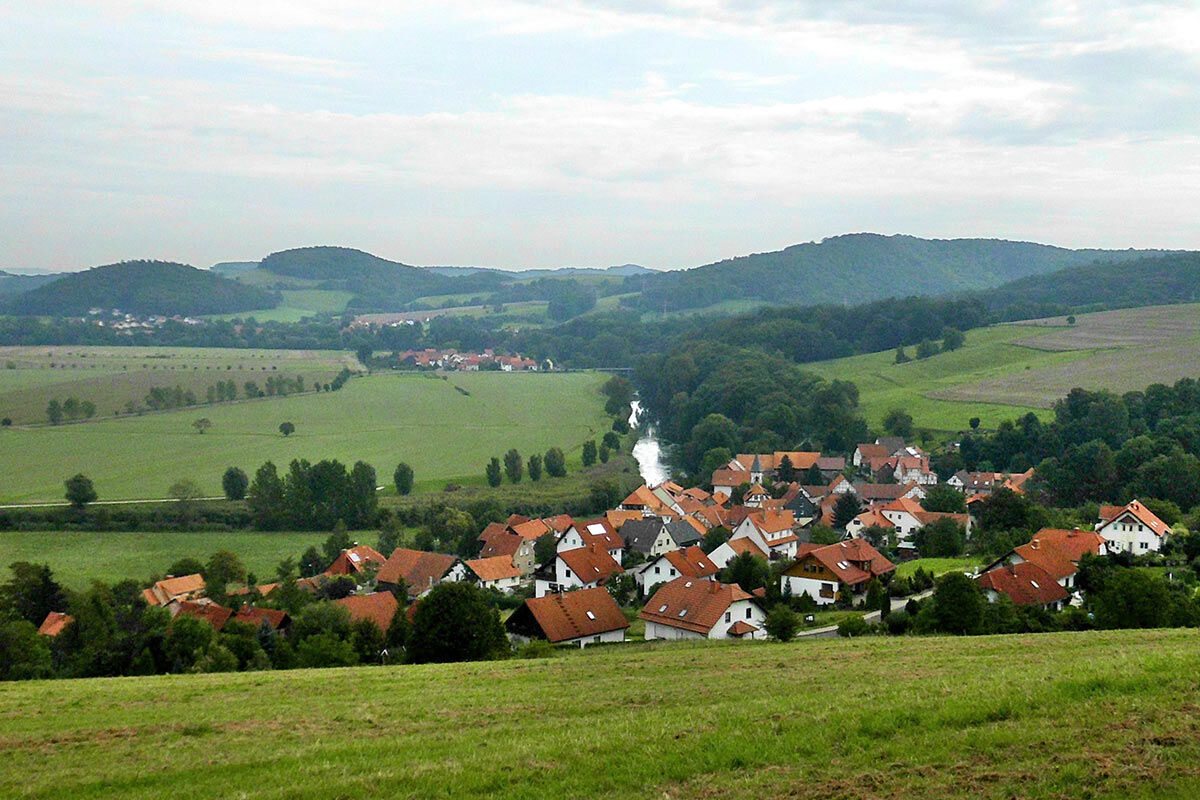

From the parking lot, walk towards Lauchröden, past the church, then turn left into Herrmannstraße, then right onto "An den Gärten" and then the extended "Triftstraße" onto the "Herdaer Weg." It leads uphill to the right after the village into the forest "Böller," where there was an NVA shooting range during the GDR era. The "Panzerweg" turns left. Going downhill, you arrive at the edge of the forest.
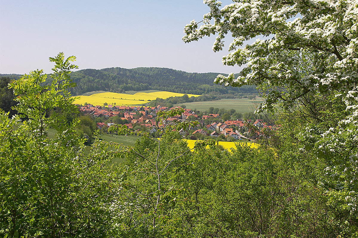
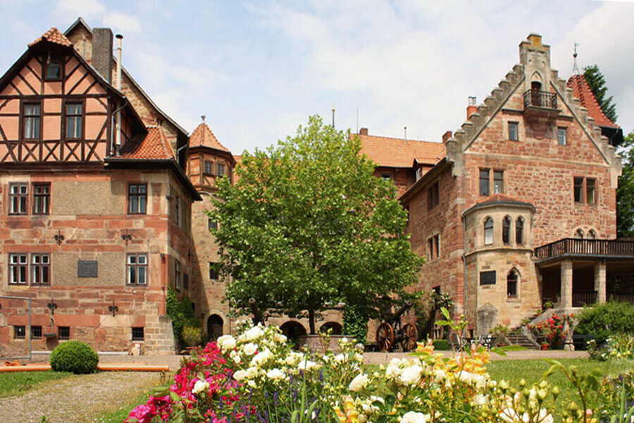
At the forest exit, head towards the small village of Unterellen, but turn left immediately at Eltetal Agrar GmbH. The Eltetal here is almost untouched. The small river meanders towards Lauchröden. Horses graze in the meadows, birds chirp... a delightful path. The technical monument Rimbachsmühle is a gem for mill enthusiasts. The last section involves some inclines and is rewarded with a breathtaking view of Brandenburg Castle ruins.
And where was the legend of Limpert now? - None other than Ludwig Bechstein himself once wrote down the legend of the hunchbacked meat messenger of Brandenburg. The neighboring village of Lauchröden and Herleshausen was once under the patronage of the Count of Brandenburg, who also controlled the butcher's guild affairs and regularly sent a meat messenger to the village named Limpert. He was a crippled man, well known and personally esteemed by the Count.
But Limpert had only an old donkey and moved slowly on his regular marches. One day the butchers of Gerstungen grew tired of the sluggish servant and beat him to death. Today the Limpertshöhe is located in the forest in the middle of Böller. The Count of Brandenburg, visibly enraged, imposed three incredibly heavy conditions on the people of Gerstungen, to be fulfilled by the end of the year, or else they would be in serious trouble. Only with great effort and considerable expensive input was the fulfillment and reconciliation of the Count's anger achieved. However, the meat sales place in Gerstungen was turned into a residence for the elderly and poor.
Tak
Sturdy footwear
Rainwear
First aid kit
GPS navigation device or smartphone and/or map material
The hiking trail requires sturdy footwear. You will partly walk on narrow paths. Avoid stepping on moss-covered stones and rocks due to slipping hazards and watch out for deadwood, branches, and fallen trees.
Mindfulness is the best safety gear.
Coming from the A4 exit 38 Herleshausen, take L3251, then right onto K17, continue under the railway line to Herleshäuser Straße. In Wartha turn right onto K505 via Göringen continuing to Lauchröden.
Lauchröden and Herleshausen are located on the Werra Valley cycle route.
The nearest ICE train station is in Eisenach. From here, bus lines 181 and 183 run directly to Lauchröden.
On weekdays, the city bus line 2 runs hourly from Eisenach to Lauchröden and back.
Use the Deutsche Bahn travel planner for trip planning at the following link:
→ Arrival at Lauchröden (direct)
Brandenburg Ruins + Werratalverein ZV Brandenburg e.V.
Werratalverein ZV Südringgau e.V.
The route is located in the following protected areas:
Thuringian Forest Nature Park
Combine the route with a visit to the Brandenburg ruins.
Popularne wycieczki w okolicy
-
3,9
EA2 - circular hiking route - "The Beauties of Eisenach" - Thuringian Forest
średniWędrówka 9,96 km -
5,0
Wartburg und Drachenschlucht
średniWędrówka 15,1 km -
4,8
Hike - "Rennsteig-Leiter Eisenach" Thuringian Forest
średniWędrówka 3,58 km -
5,0
Trasa okrężna 3 - Mariental/Smoczy Wąwóz/Grotta Elfów
średniWędrówka 3,54 km -
4,7
Hike - Rennsteig - Stage 1 - From Hörschel to Ascherbrück / Ruhla
ciężkiWędrówka 19,1 km -
Circular hike - From the Rennsteig start via the "Stedtfeld Mining Educational Trail" near Eisenach - Thuringian Forest
średniWędrówka 11,0 km -
EA3 - Circular hiking trail - "Wartburg Experience Route" - Thuringian Forest
średniWędrówka 6,14 km -
5,0
Premium route P21 Point India - Walkable Green Belt
średniWędrówka 14,9 km -
Rennsteig stage run - 5th stage Grenzwiese - Hörschel
ciężkiTrailrunning 34,0 km -
Circular hiking trail - "The Beautiful Unknowns" - Wutha-Farnroda
średniWędrówka 10,8 km
Wędrówki i tropienie


Nie przegap ofert i inspiracji na następne wakacje
Twój adres e-mail została dodana do listy mailingowej.





