







Hike - "Rennsteig-Leiter Eisenach" Thuringian Forest

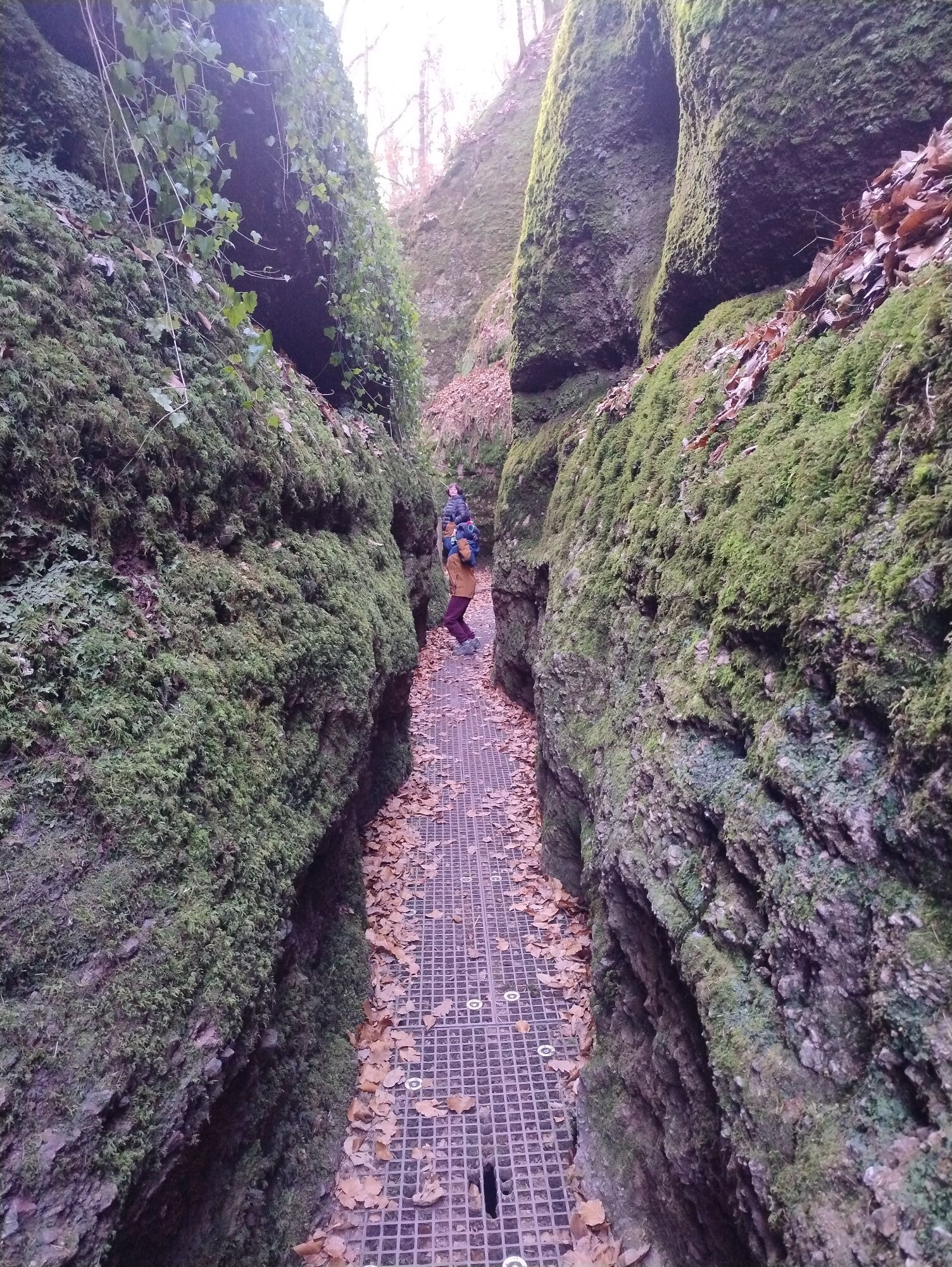
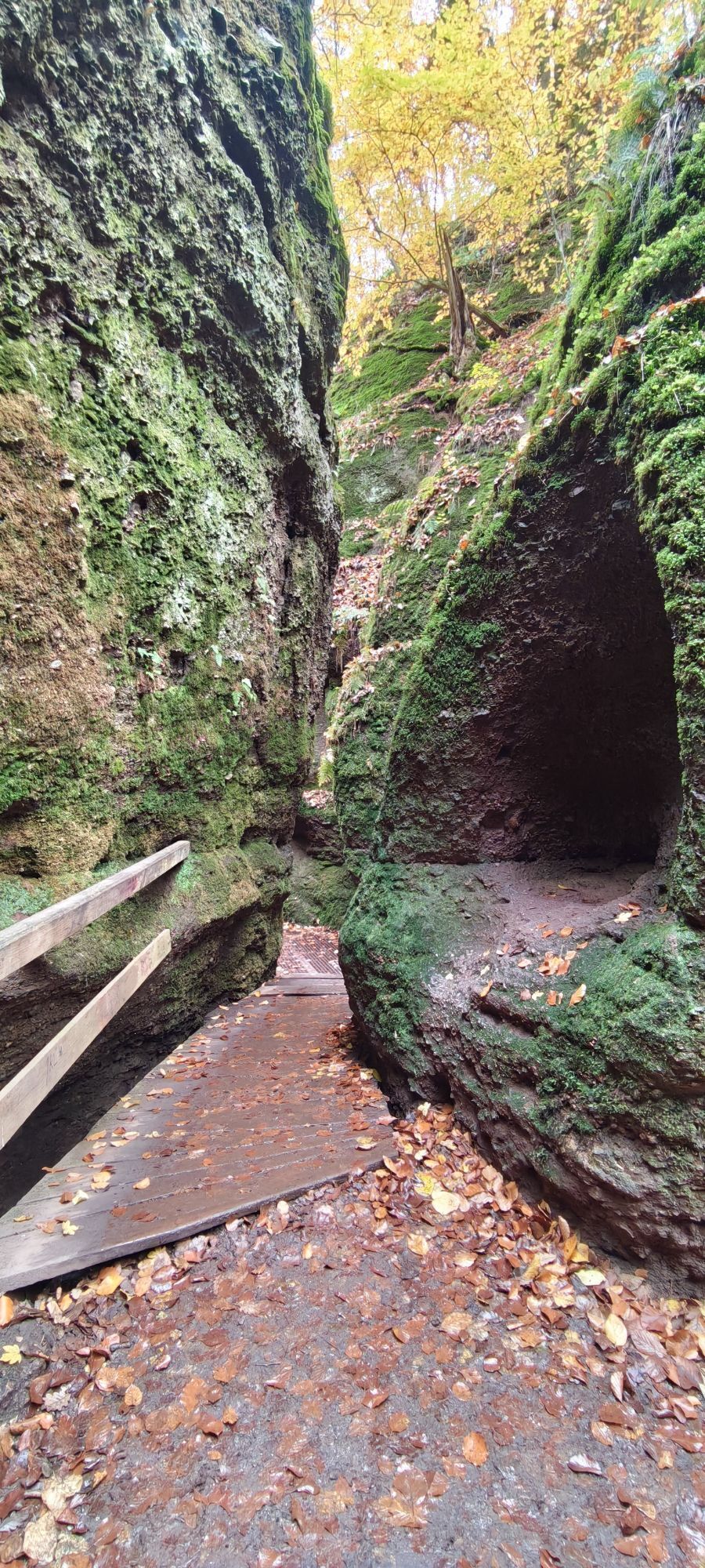
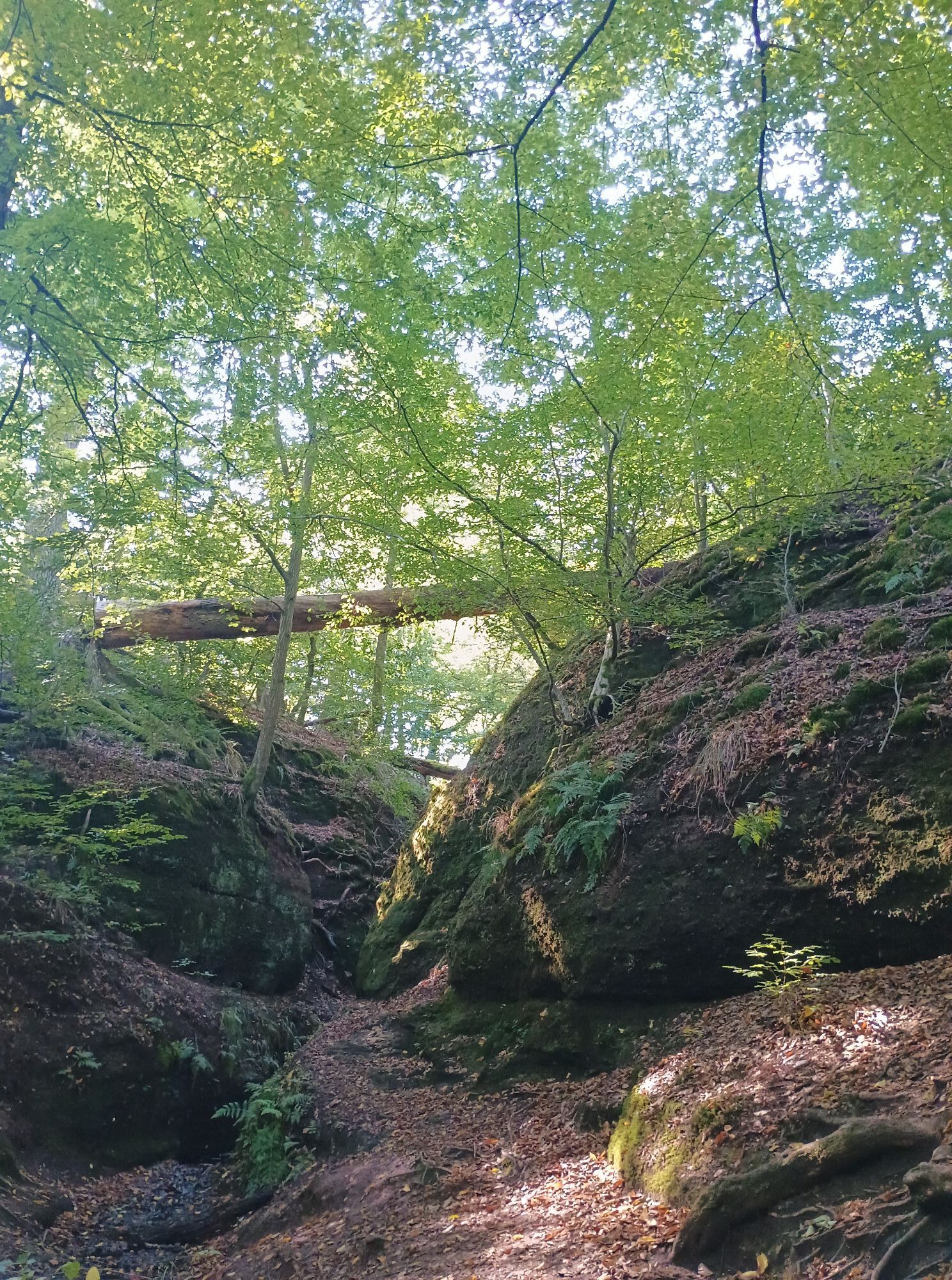
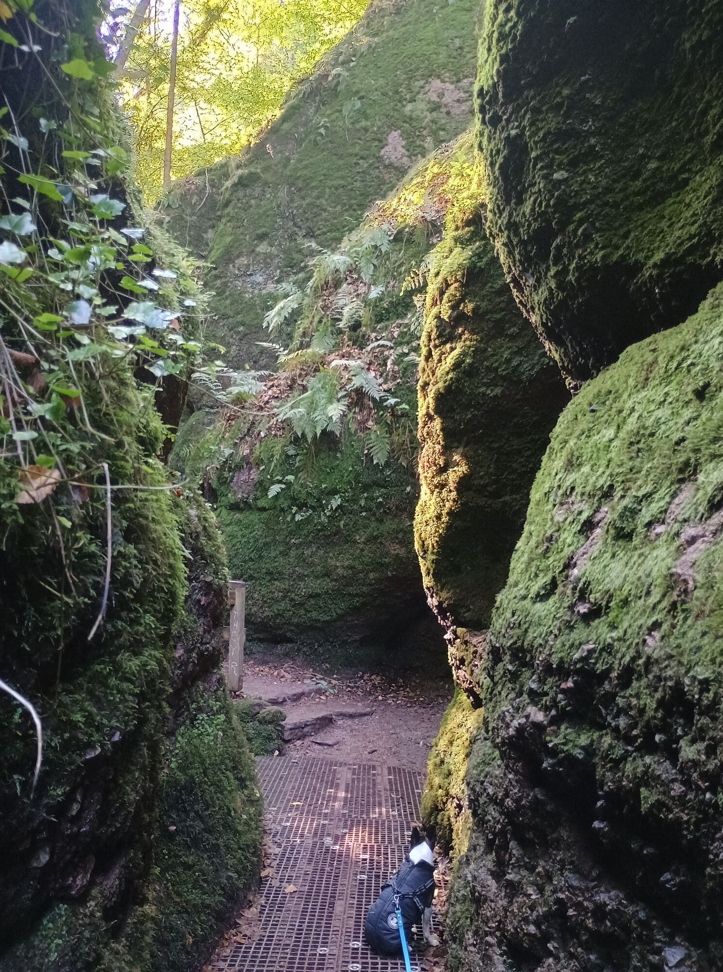



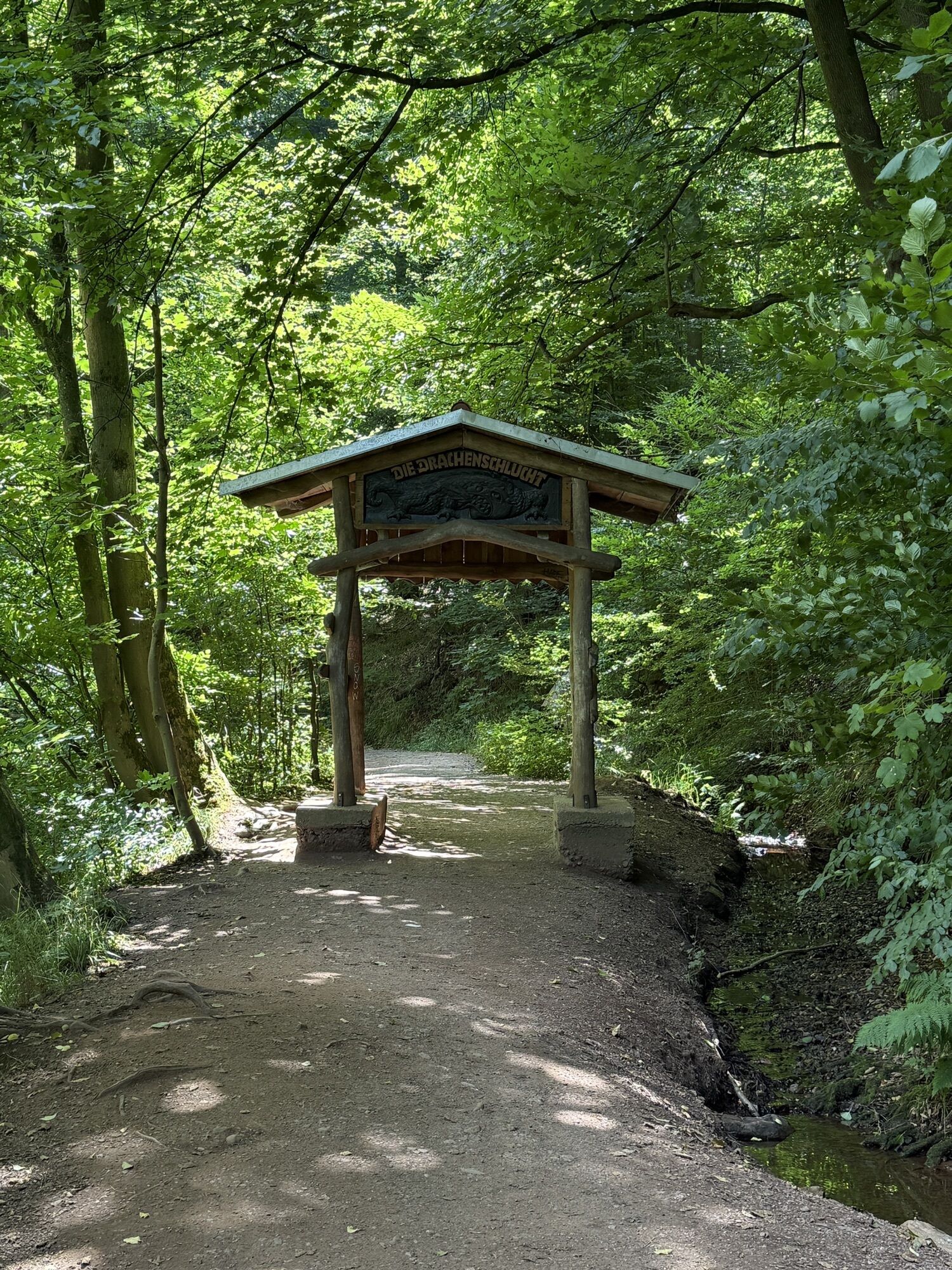
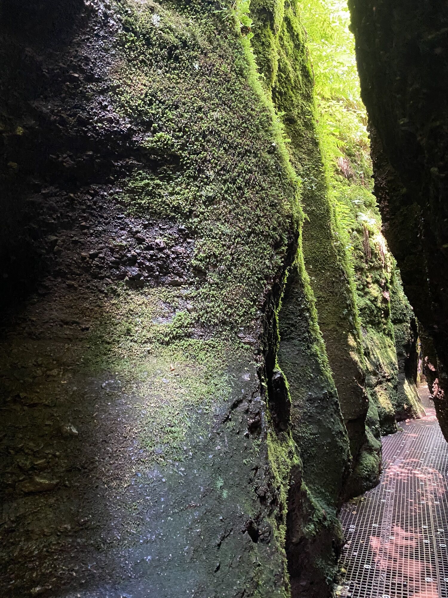
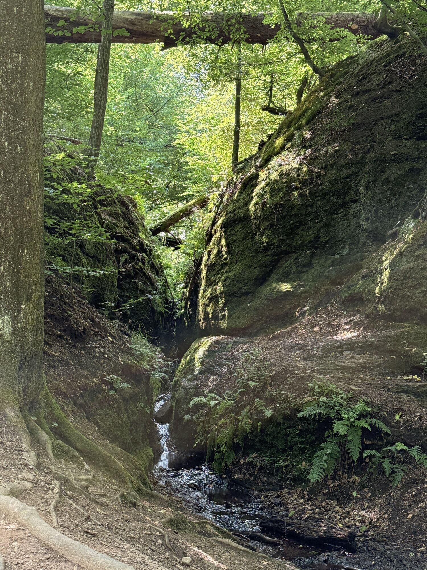
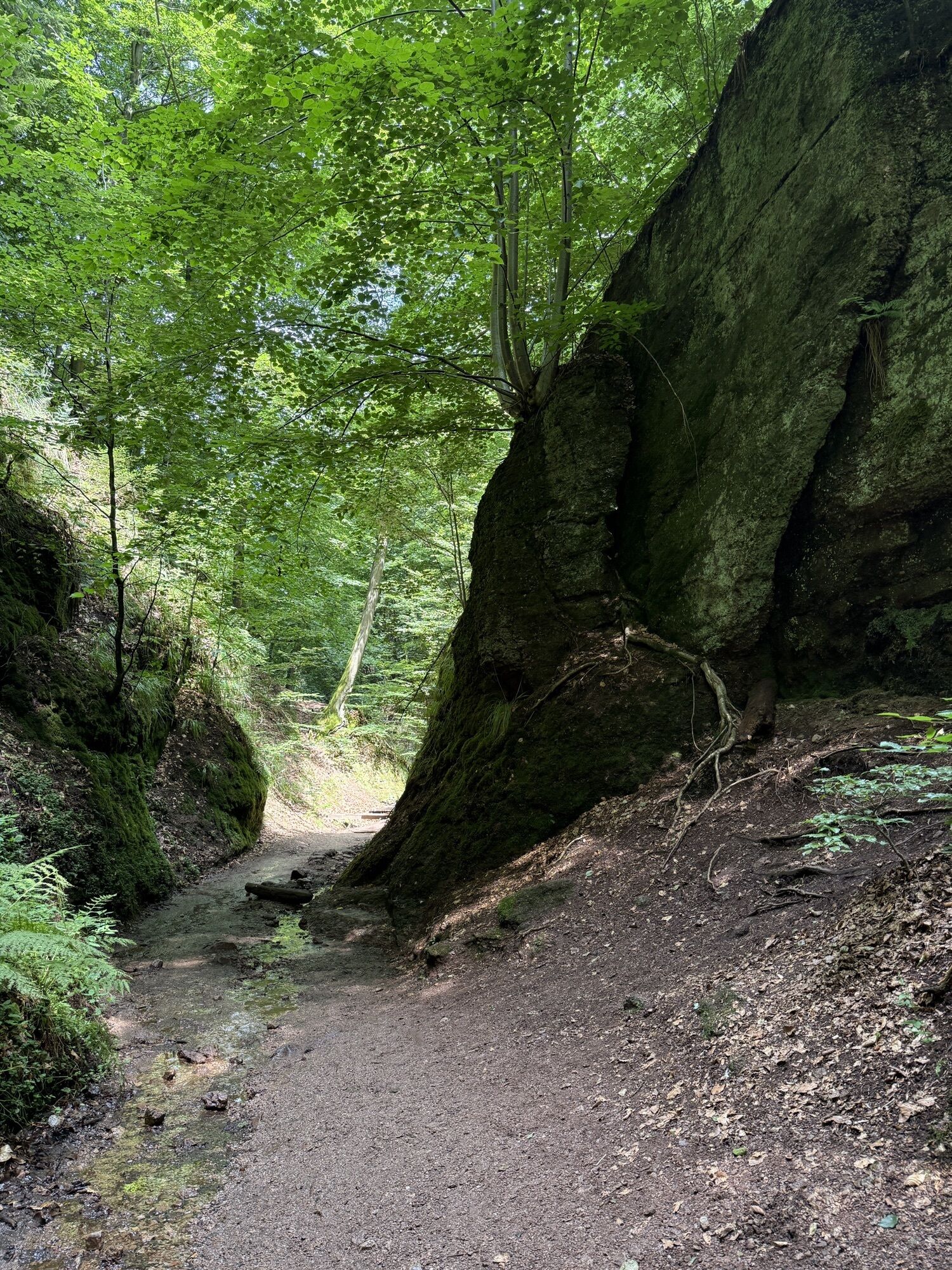
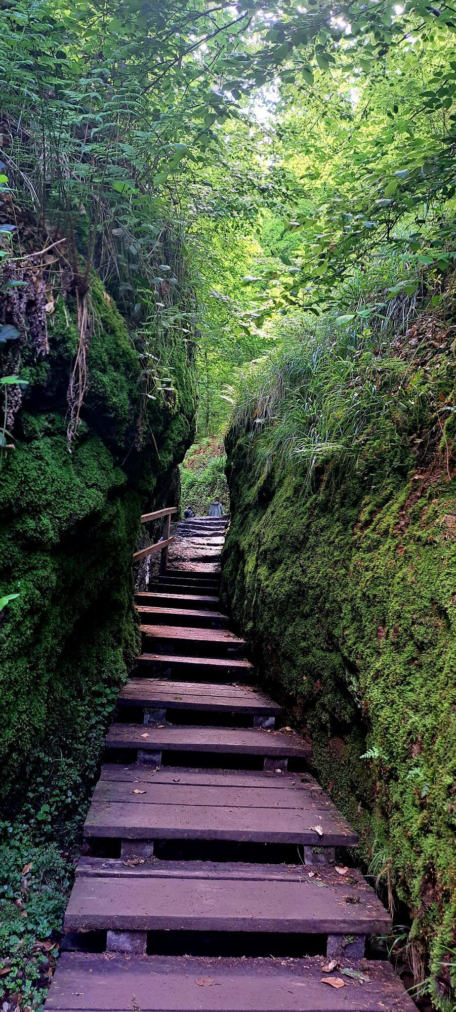
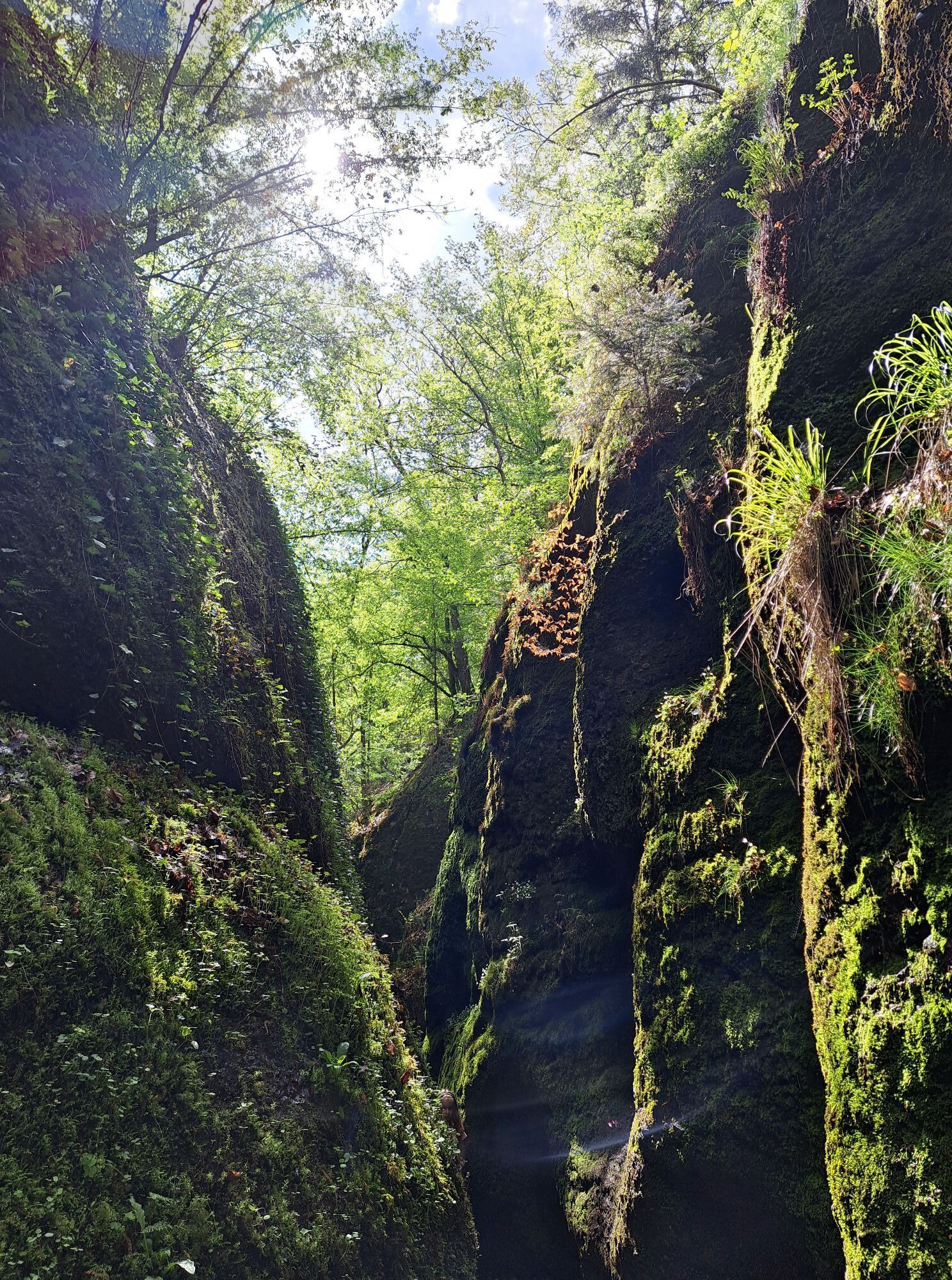
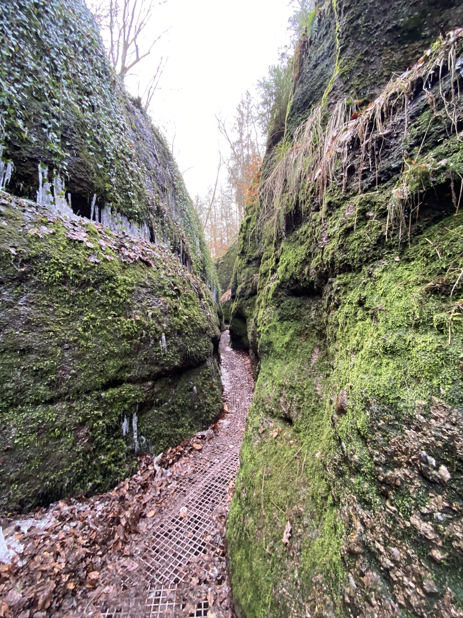
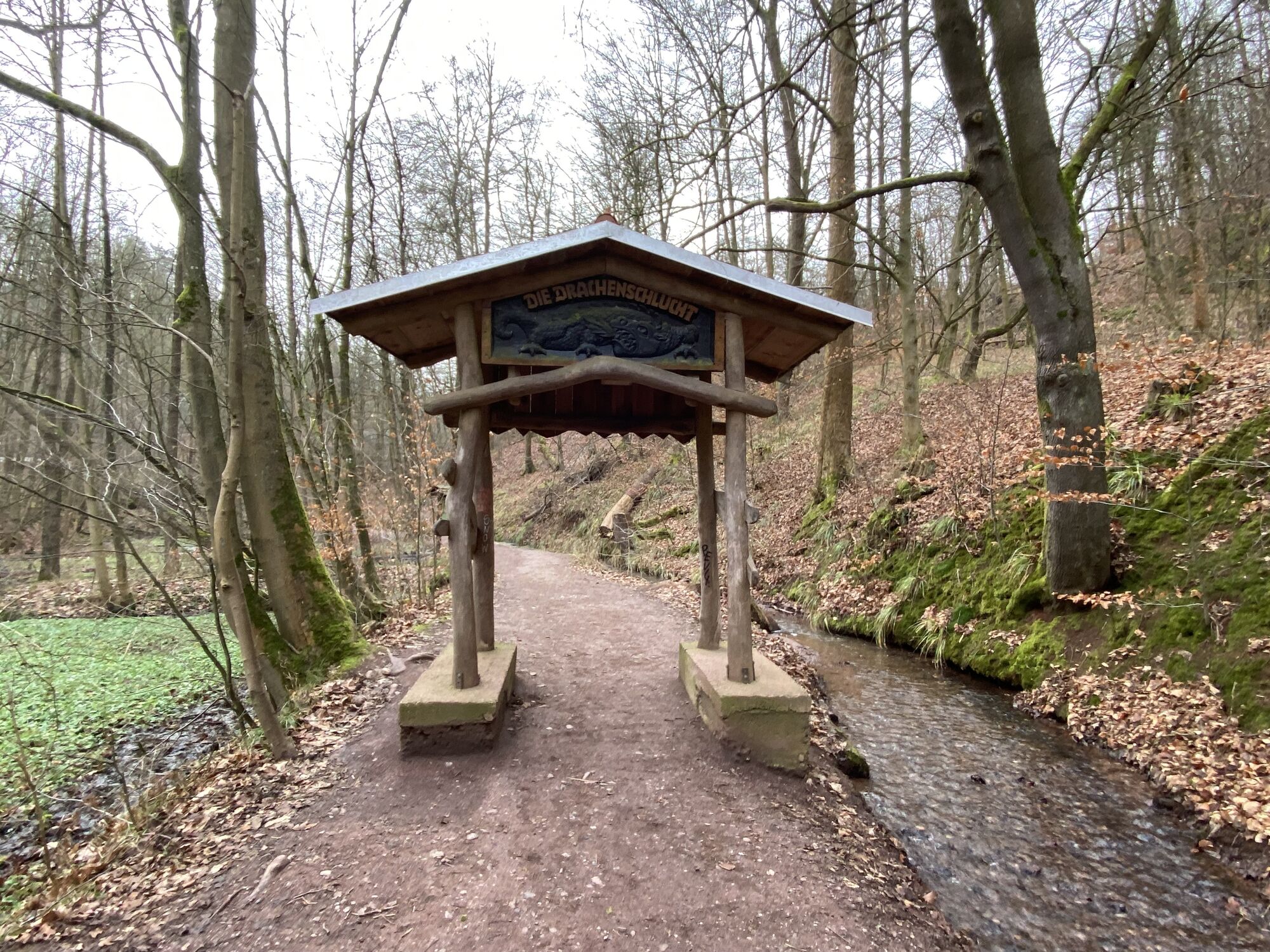
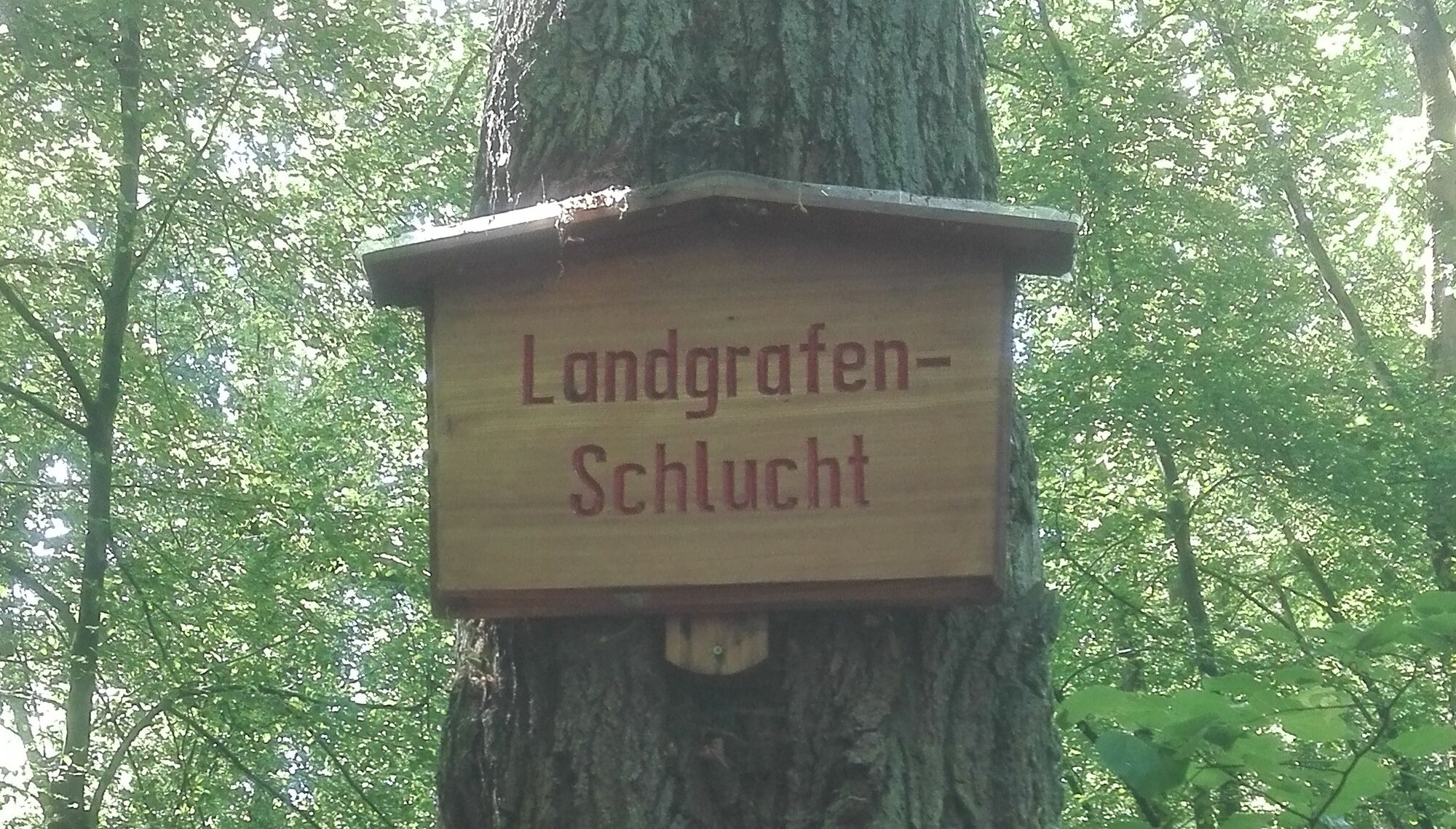
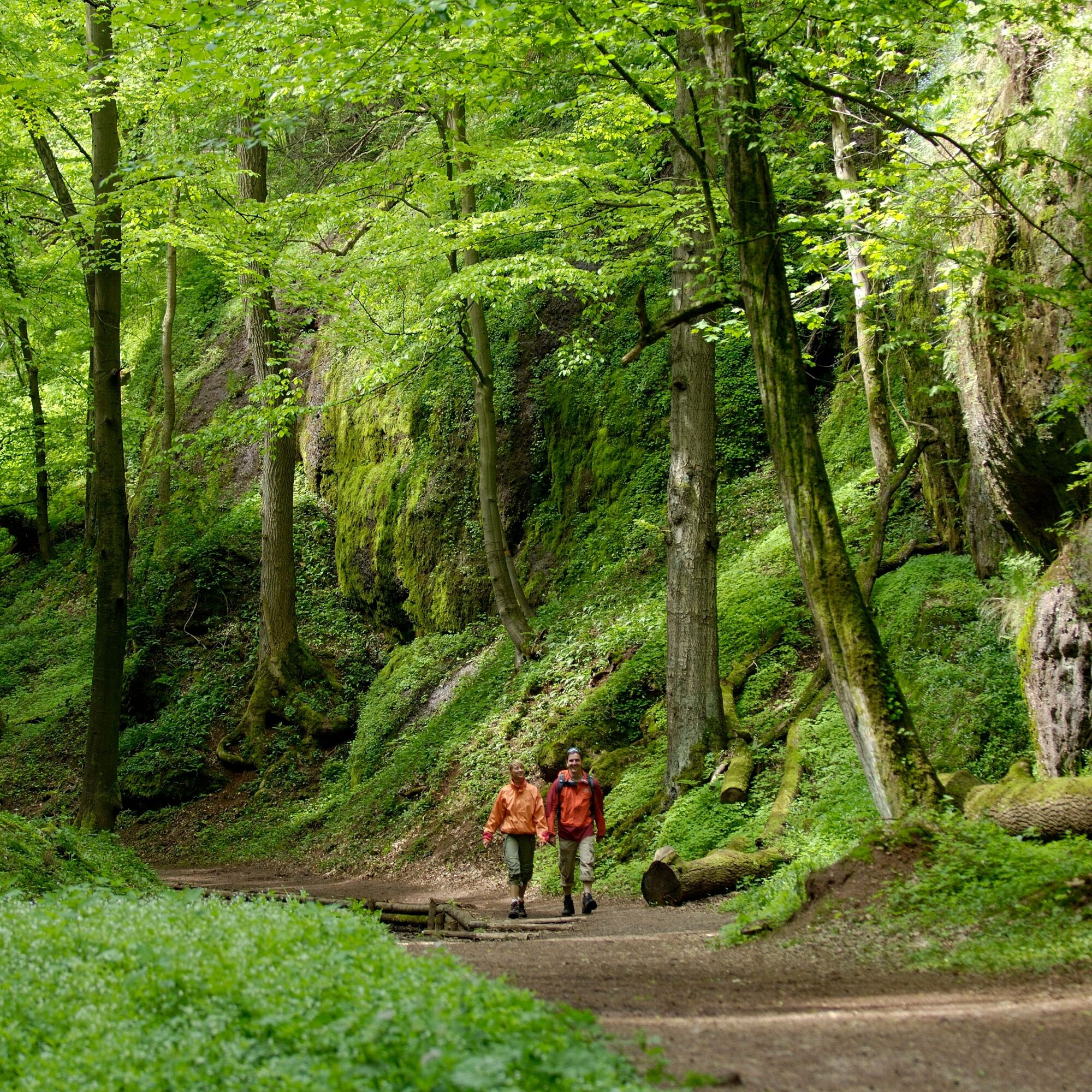
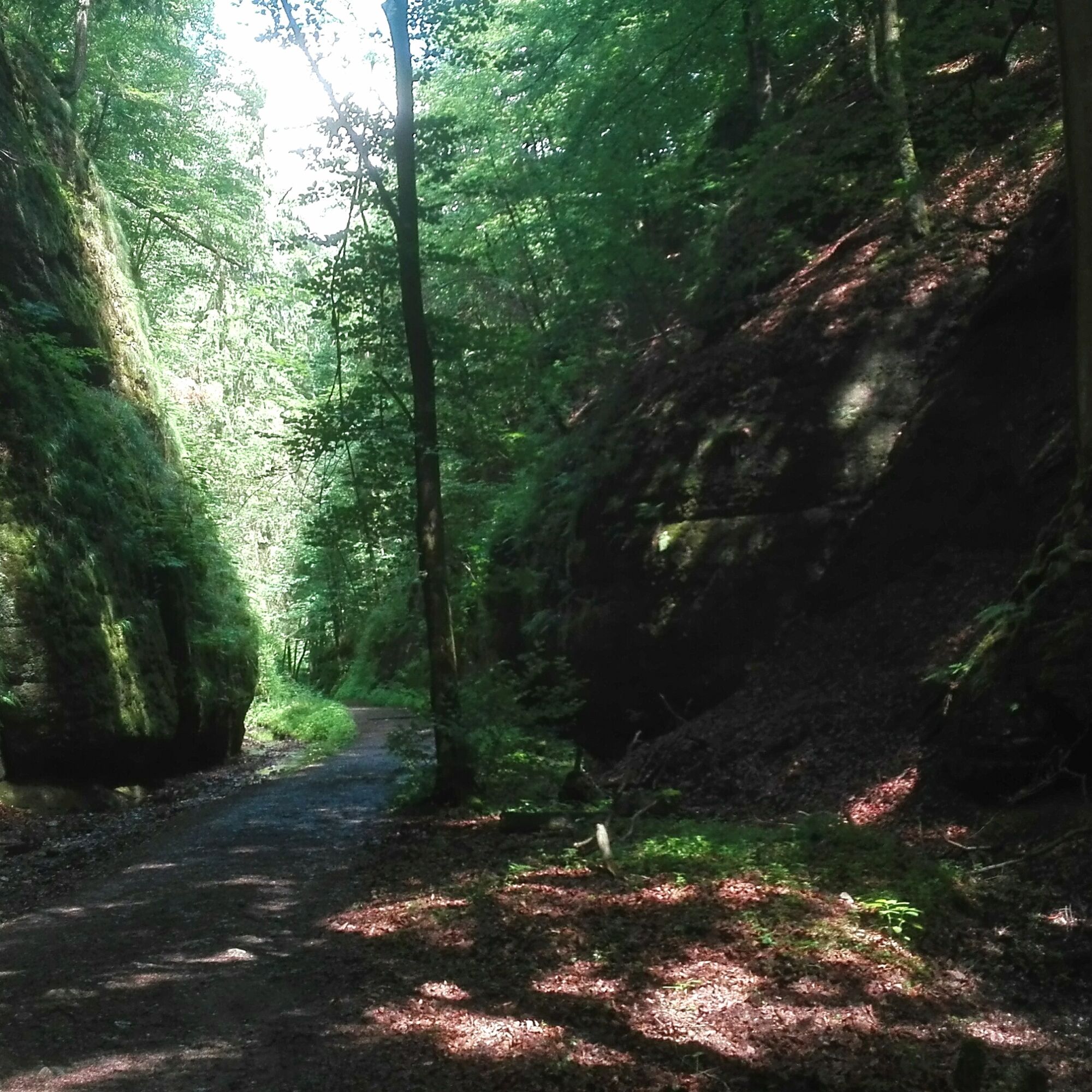
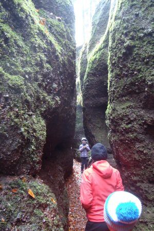
Not far from here you will come to a carved dragon gate. That is the entrance to the gorge. The Drachenschlucht is a geological natural monument with an almost 200 meter long gorge.
It is a very special...
Not far from here you will come to a carved dragon gate. That is the entrance to the gorge. The Drachenschlucht is a geological natural monument with an almost 200 meter long gorge.
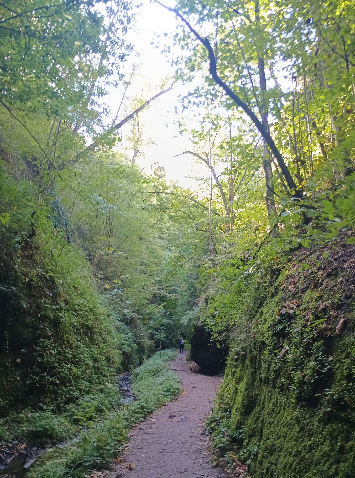
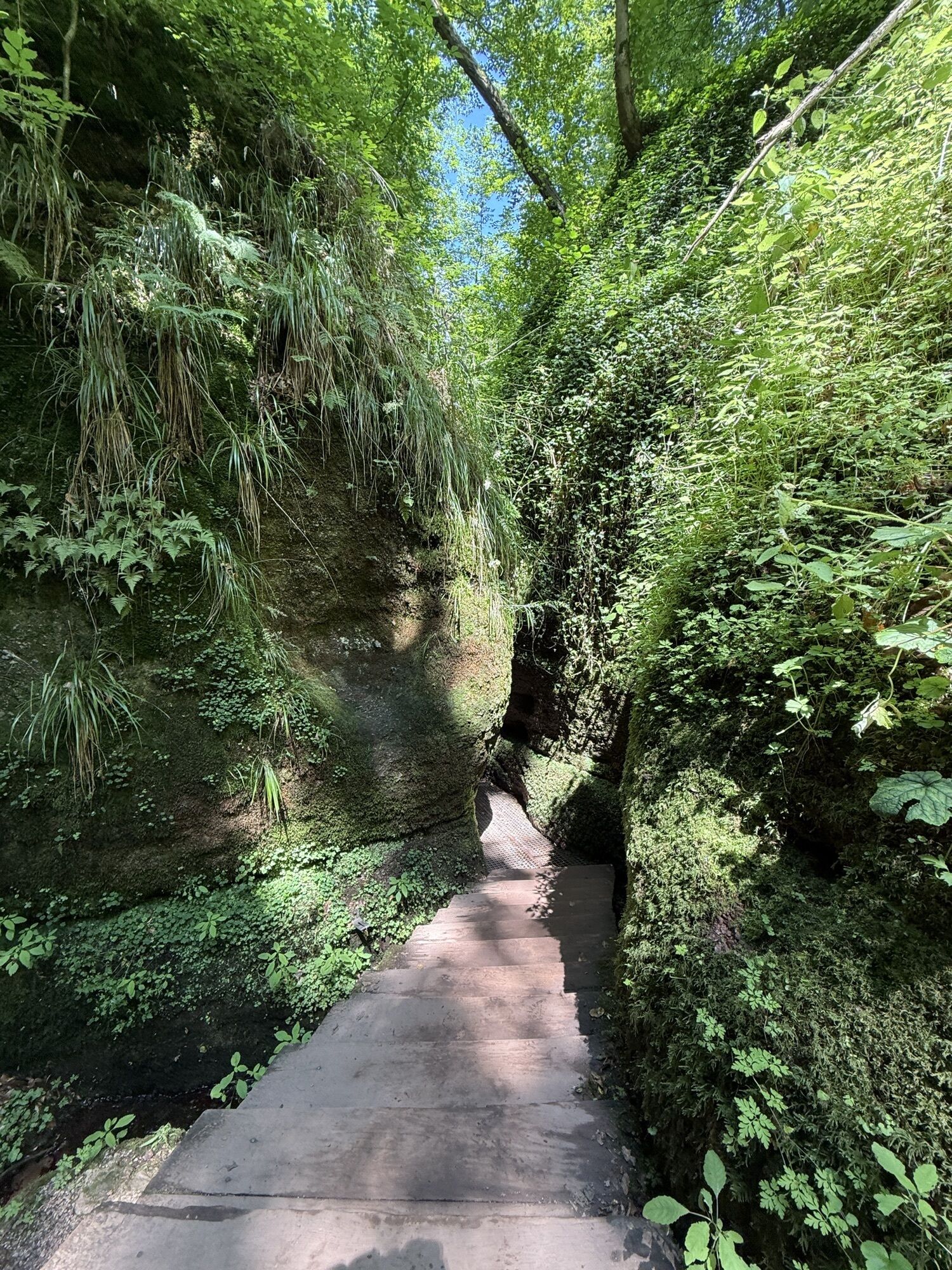
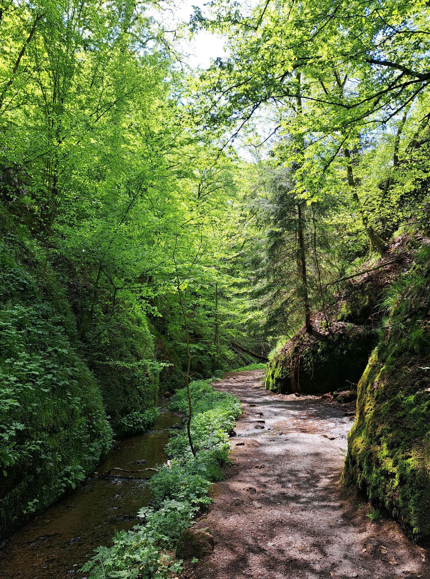
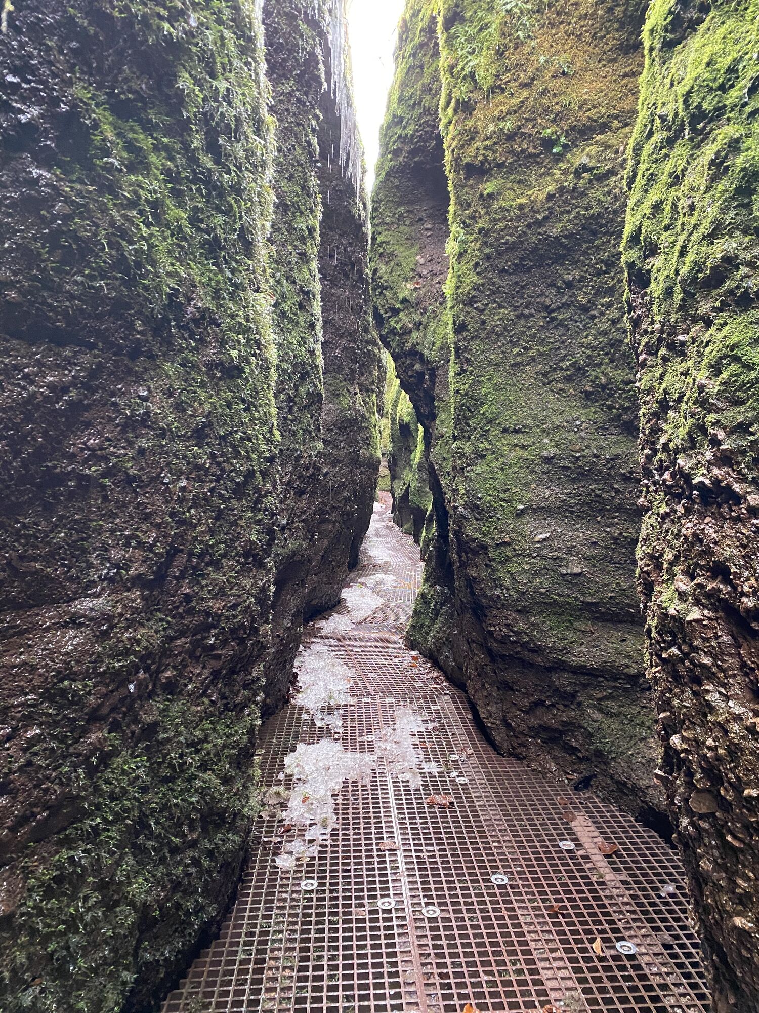
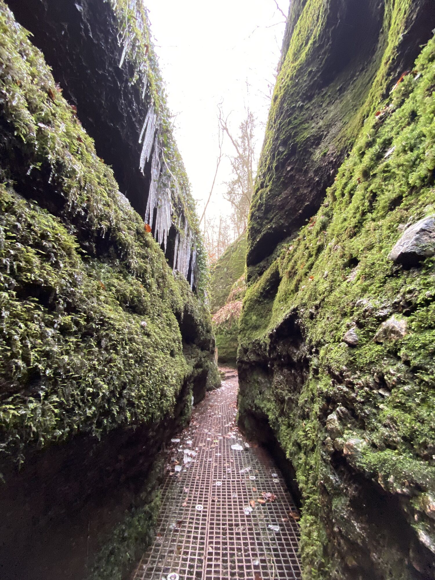
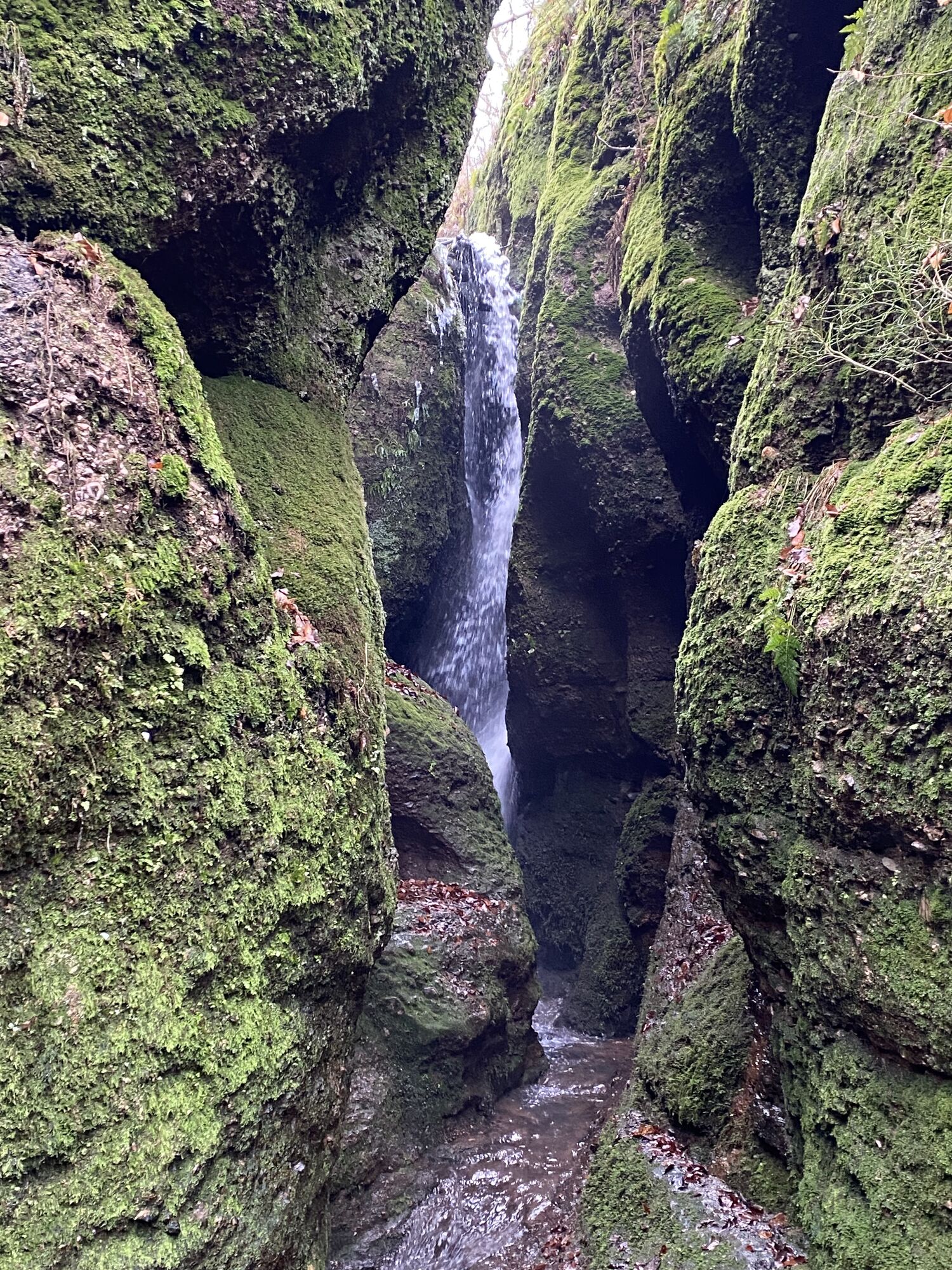
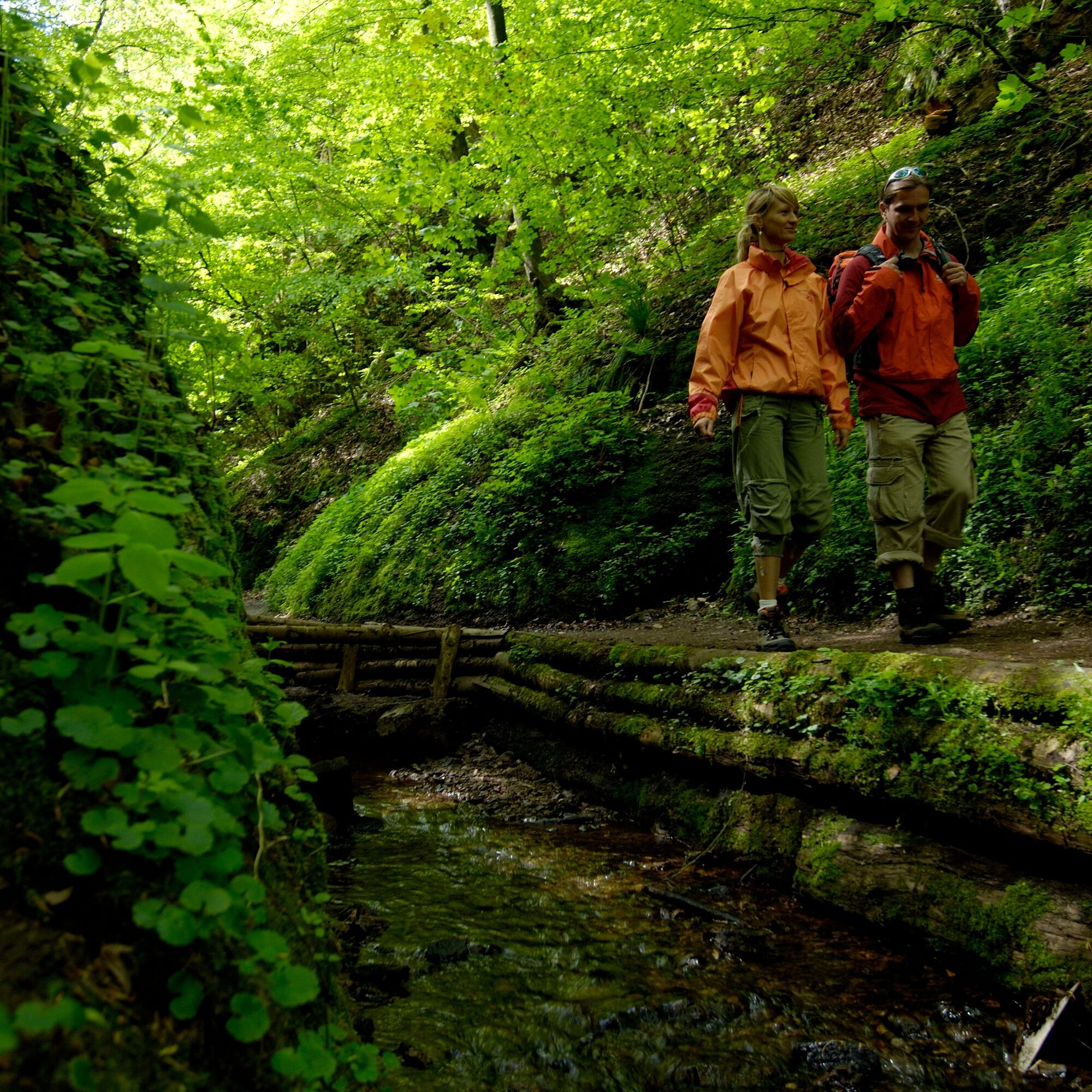
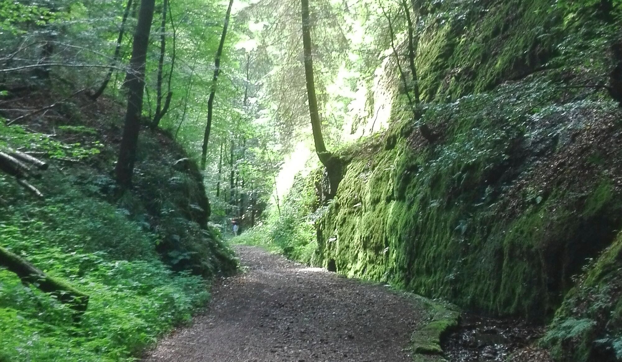
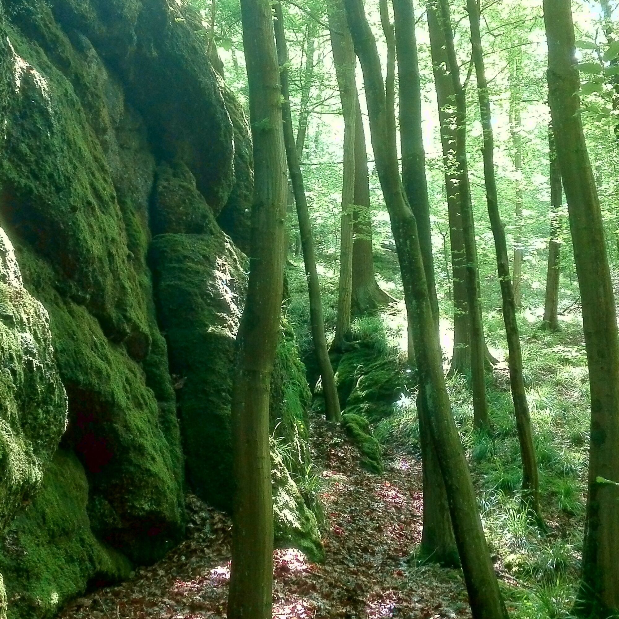
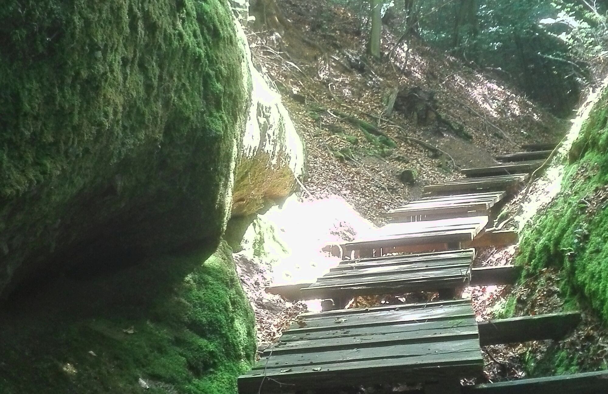
It is a very special experience for every hiker, especially for children. Because a dragon could be lurking behind every bend… After about 700 meters you will reach an overwhelming rock wall about 10 meters high. You will see a large A carved into the rock. That stands for the Annatal. At first the rock walls are still wide apart, but soon they narrow. You climb steeply and thus form a wild romantic gorge. In some places it is only shoulder-wide.
In stretches, a wild creek rushes right under your feet. You cross it on secure grid walkways.
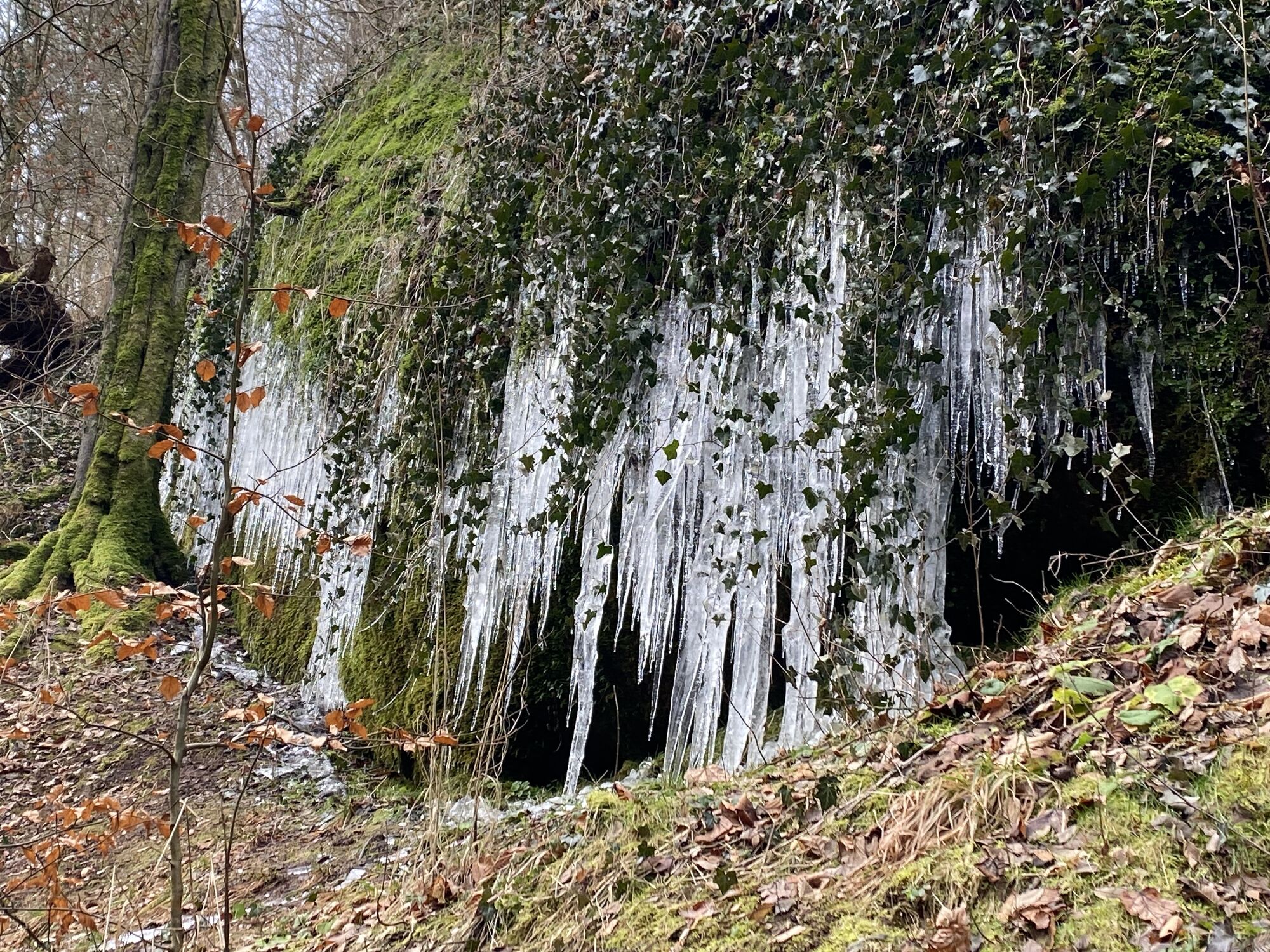
But beware! The Drachenschlucht is unfortunately not suitable for bicycles, strollers or wheelchairs. In very heavy rain, snow or ice, the gorge may be closed for your safety.
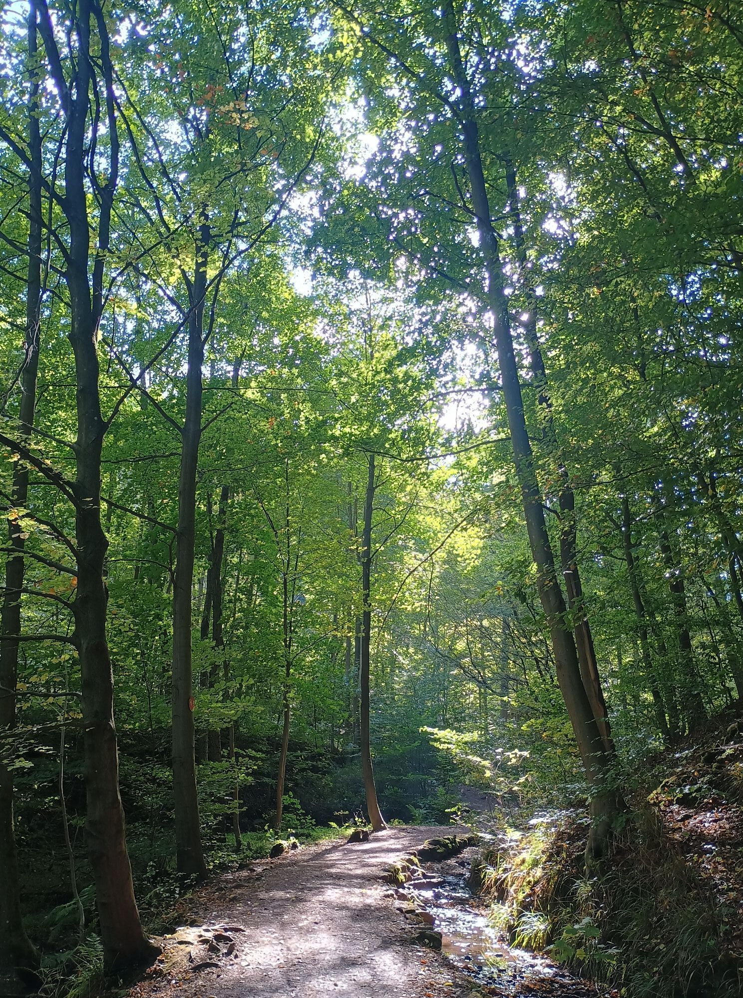
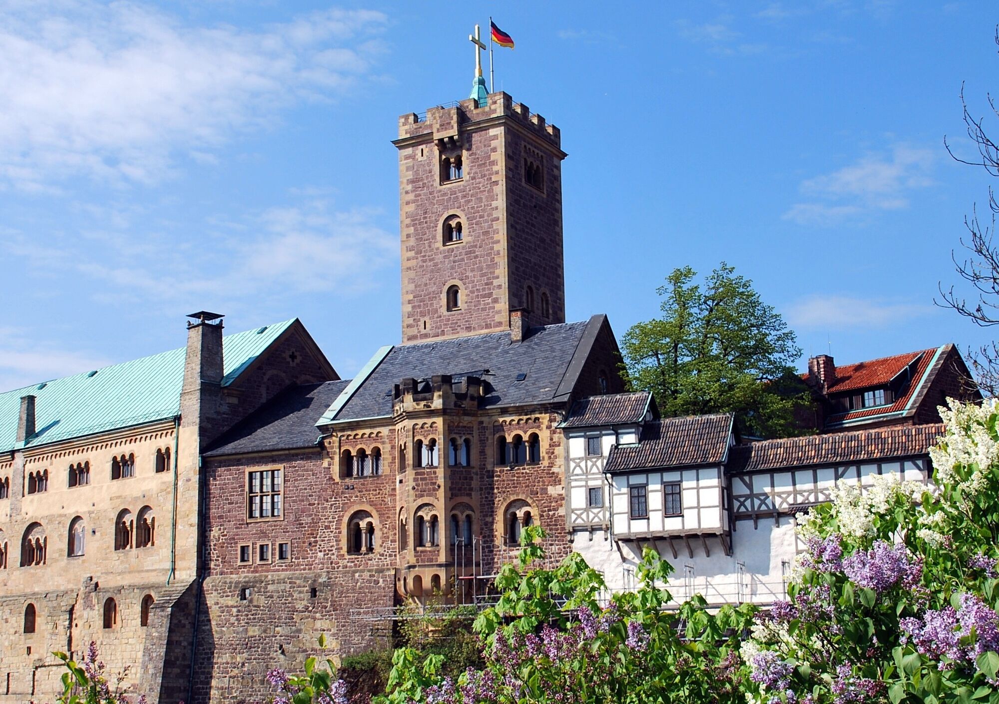
After passing through the Drachenschlucht, it continues to the Hohe Sonne on the Rennsteig. Along the way there is a signposted turnoff to the Wartburg. This path is also an experience in itself. It leads through a side gorge with numerous narrow passages, whirl niches, erosion basins and seepage waterfalls. You will also pass the Knöpfelsteiche and the Elfengrotto. It is a rock about eleven meters high that has formed a grotto.


Phantasie car park - Drachenschlucht - Hohe Sonne
Tak
Sturdy footwear, rainwear
Watch out for slippery and slick spots when walking through the gorge. The stream bed is partly laid directly under the footpath. In ice and snow, accessibility is limited.
Please behave considerately and quietly in the forest to protect flora and fauna. Follow the instructions of forest staff and pay attention to restrictions due to forestry work.
Coming from the A4, exit 40a (Eisenach-East). Then continue on B84 towards Eisenach until the "Eisenach-Oststadt" junction. Continue straight on B19 to the station and then south through the town. Continue on B19 towards Wilhelmstahl / Etterwinden and Bad Salzungen. Follow the road for about 4 km to "Hohe Sonne".
ATTENTION: Mariental is a popular excursion destination, especially on weekends many day-trippers visit the region. Please do NOT park along the busy federal highway when parking lots are full.
Therefore, public transport is recommended.
Use the Deutsche Bahn travel information. This portal also lists all regional transport providers.
Eisenach city bus: Line 13 from ZOB / main station or Karlsplatz to the Mariental (Drachenschlucht) stop or to the Hohe Sonne stop
Regional bus line: 145
Car parks:
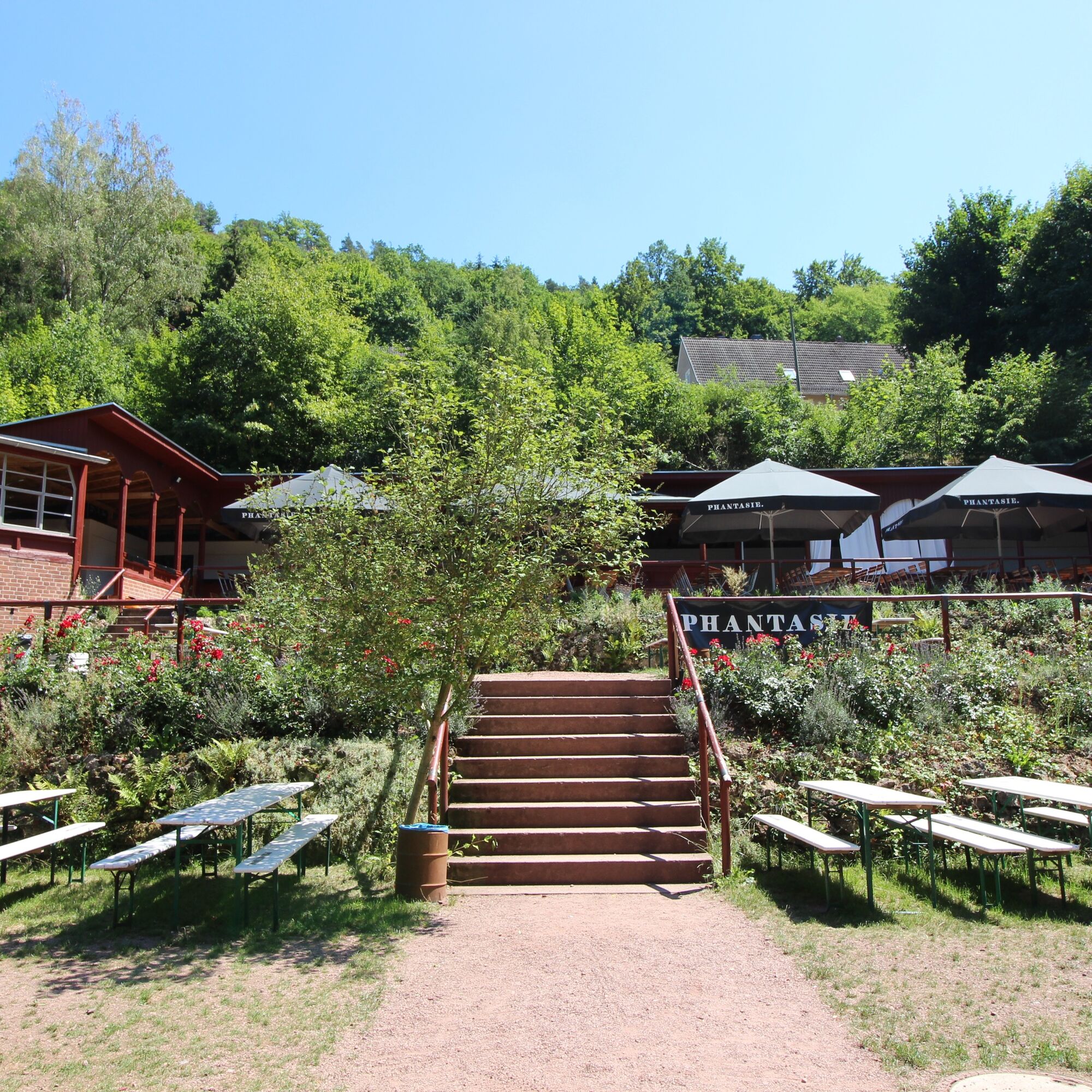
P+R car park at Phantasie
P+R car park Liliengrund
Car park at Prinzenteich
Offers for guided hikes can be found here.
Short YouTube video about the Rennsteig with beautiful shots of the Drachenschlucht




Popularne wycieczki w okolicy
-
5,0
EA1 - Circular route - Gorge tour near Eisenach - Thuringian Forest
średniWędrówka 9,68 km -
3,9
EA2 - circular hiking route - "The Beauties of Eisenach" - Thuringian Forest
średniWędrówka 9,96 km -
5,0
Wartburg und Drachenschlucht
średniWędrówka 15,1 km -
4,7
IVV PW + GTW "In Luther's footsteps - Luther, dragons, landgraves, rose miracle..."
średniWędrówka 15,8 km -
5,0
Trasa okrężna 3 - Mariental/Smoczy Wąwóz/Grotta Elfów
średniWędrówka 3,54 km -
4,5
Circular hike - Legendary Hörselberge - Great Hörselberg near Eisenach - Thuringian Forest
średniWędrówka 10,6 km -
4,7
Hike - Rennsteig - Stage 1 - From Hörschel to Ascherbrück / Ruhla
ciężkiWędrówka 19,1 km -
3,2
Von Friedrichroda zum großen Inselsberg
średniWędrówka 22,4 km -
Hike - Rennsteig - Stage 2 - From Ascherbrück / Ruhla to Ebertswiese
ciężkiWędrówka 25,2 km -
5,0
EA3 - Circular hiking trail - "Wartburg Experience Route" - Thuringian Forest
średniWędrówka 6,14 km
Wędrówki i tropienie


Nie przegap ofert i inspiracji na następne wakacje
Twój adres e-mail została dodana do listy mailingowej.





