







Premium path P12 Mainzer Köpfe - Walkable Green Belt
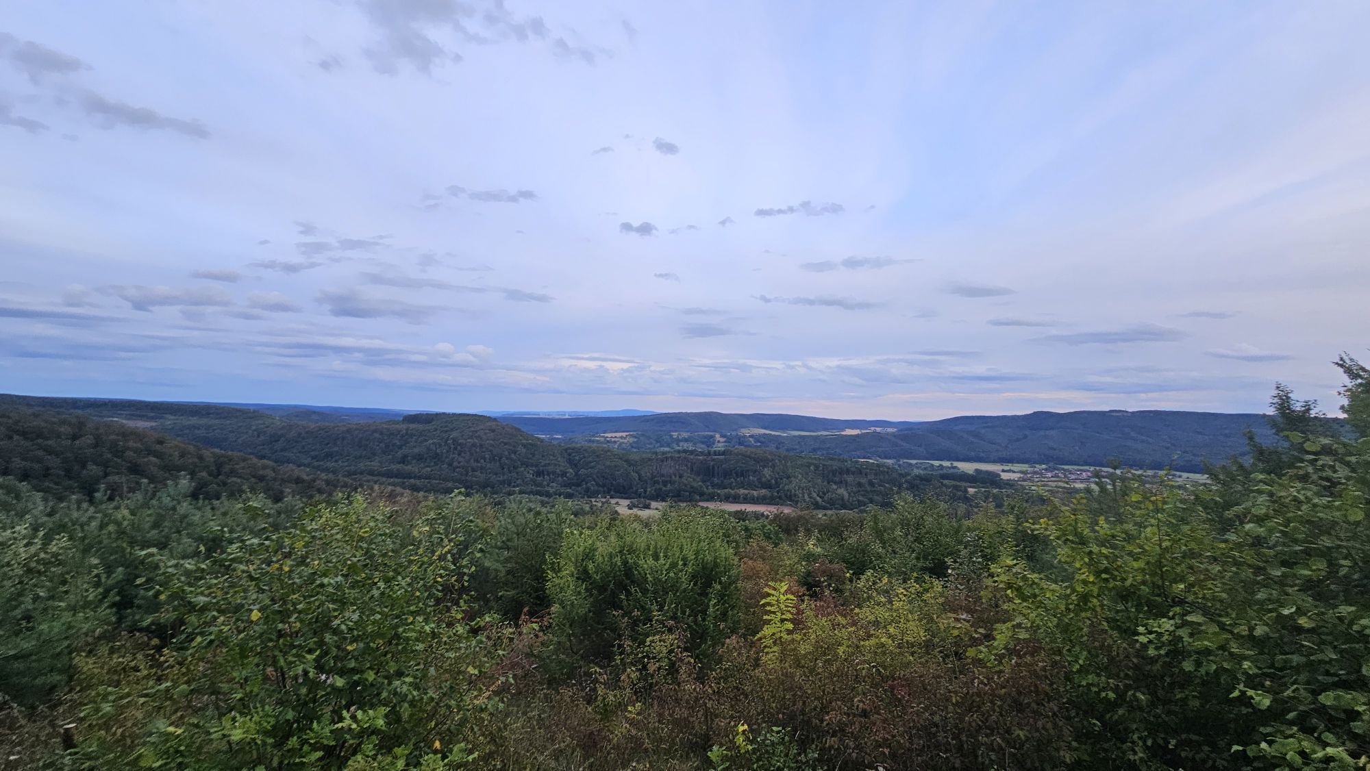
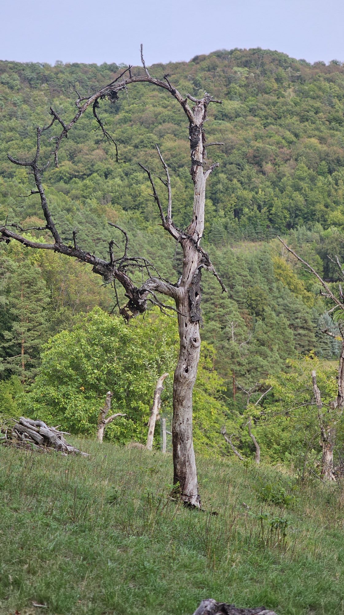
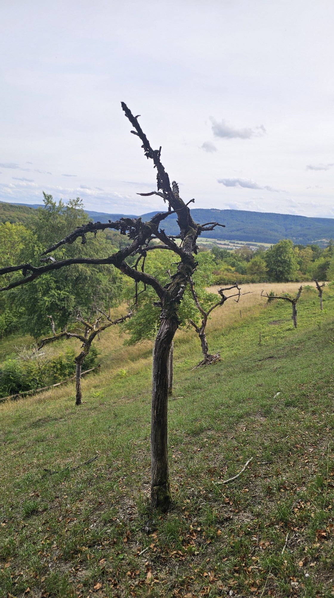
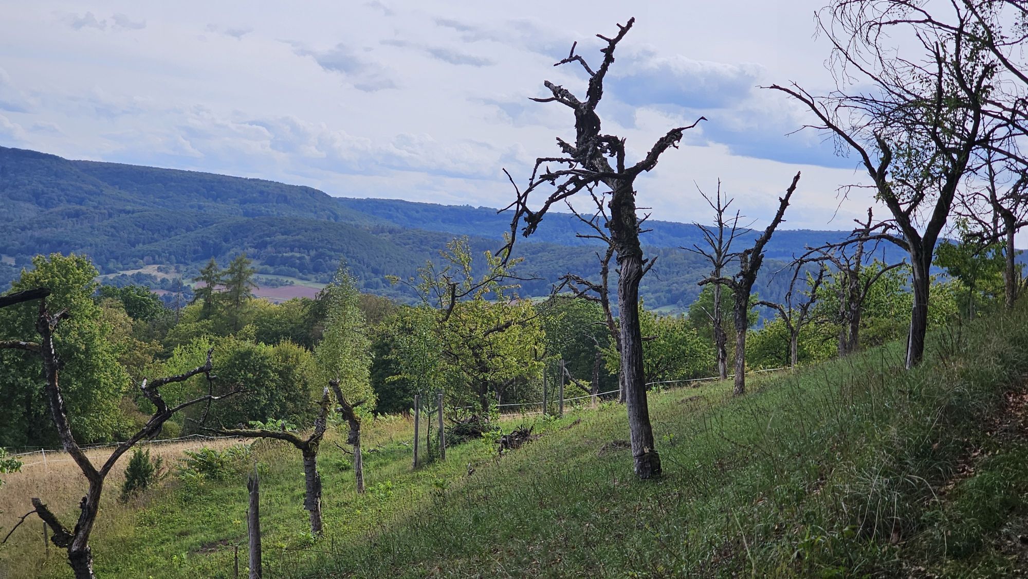
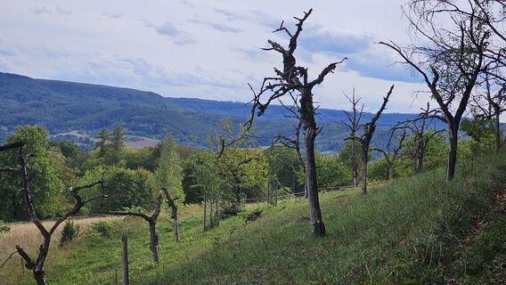
After a challenging climb, you will encounter a great mix of natural and cultural-historical elements as well as magnificent views on this 9.5 km round route. You will see an original border stone from...
After a challenging climb, you will encounter a great mix of natural and cultural-historical elements as well as magnificent views on this 9.5 km round route. You will see an original border stone from the 15th century near the rest area Kimms Ruh.
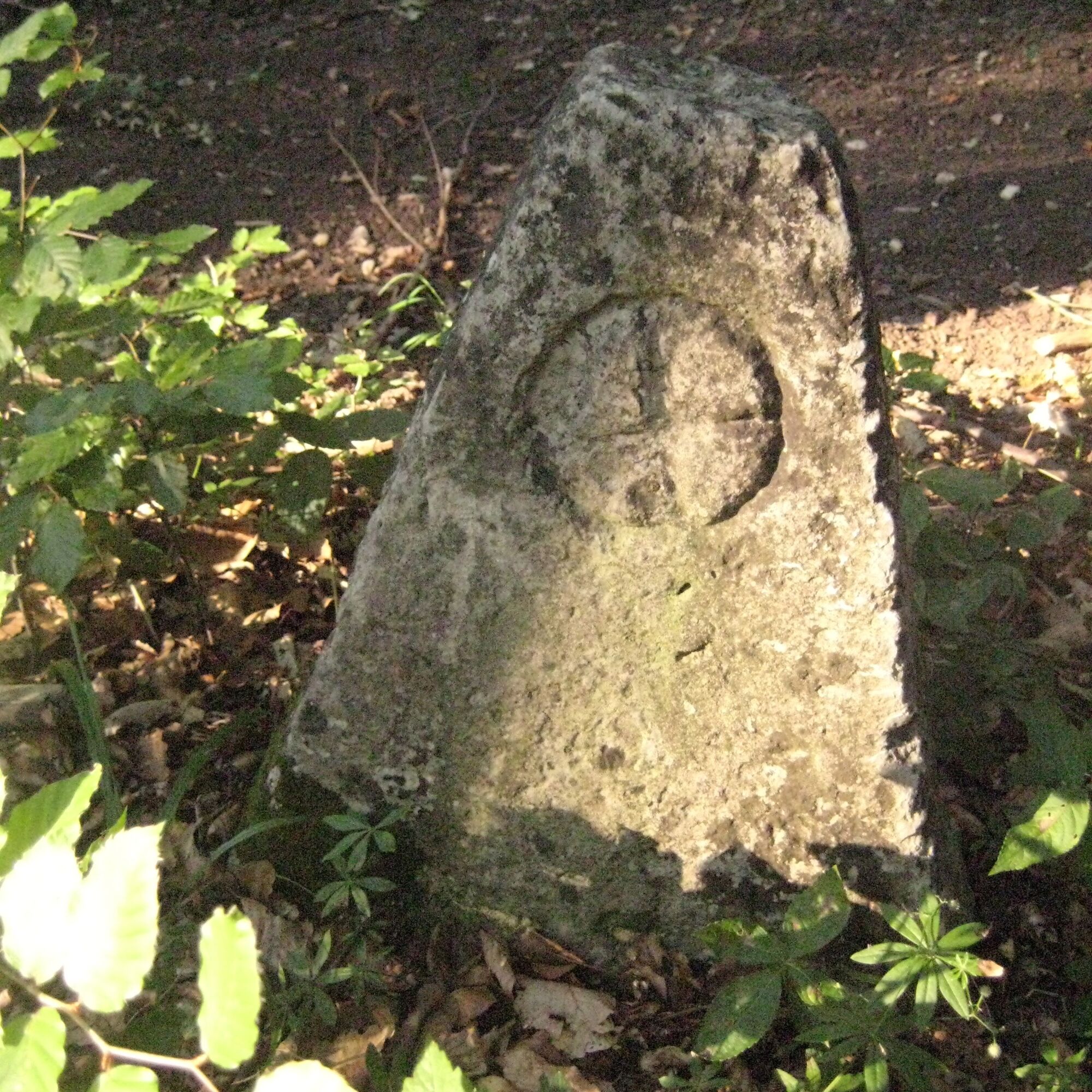
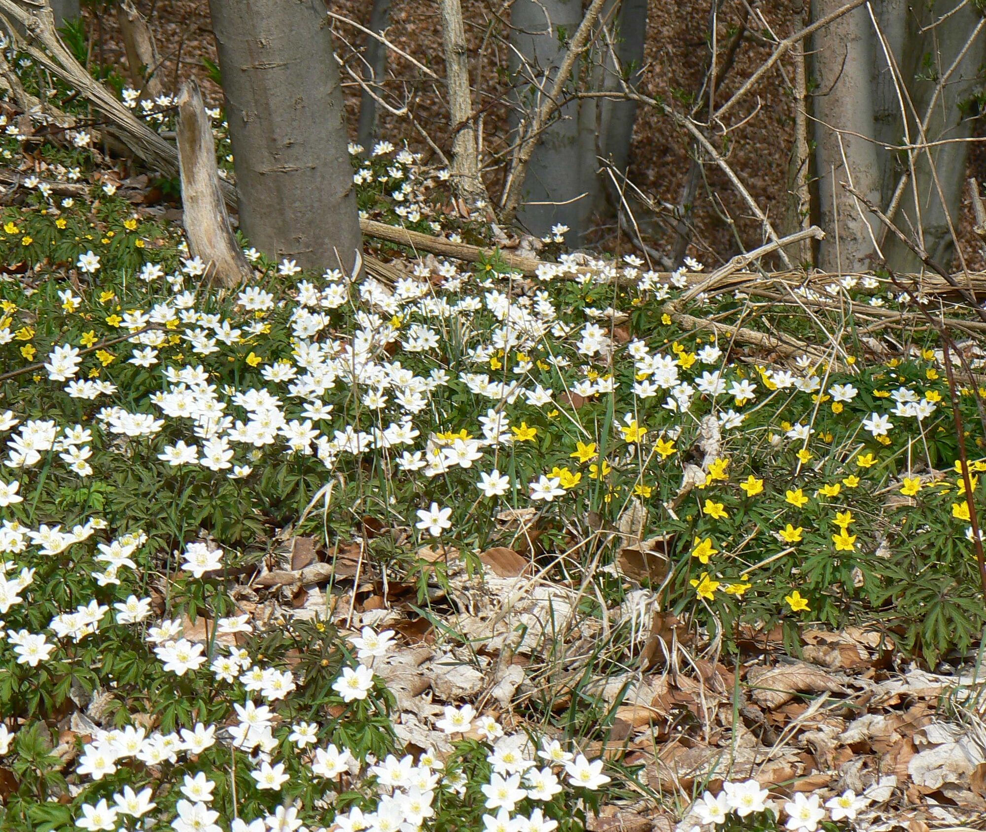
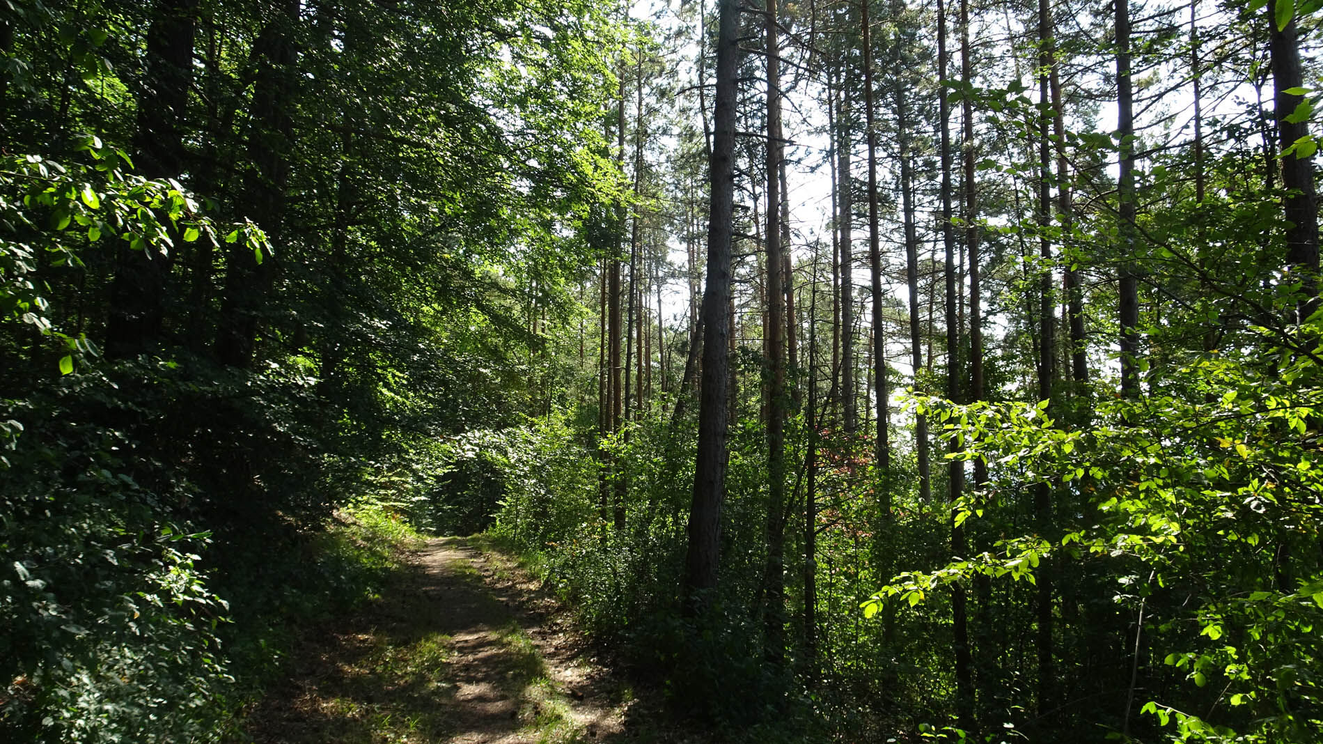

The P12 gets its name from the ridges rising above the Werra valley, the Mainzer Köpfe, which are still witnesses to the former sphere of influence of the Archbishopric of Mainz. A series of stones engraved with the Mainz wheel marked the border of the Electorate of Mainz, to which the southern Eichsfeld belonged until 1803. The challenging climb past the thick oak is rewarded with splendid views of the Hessian-Thuringian Werra valley. The former German-German border is present along the hiking trail with interesting relics from GDR times, namely in the form of a Stasi tunnel (agent sluice), the patrol road, and a piece of border fence. Today, the Green Belt is an oasis for rare flora and fauna. On narrow paths, past old border stones of the Kingdom of Prussia, upon reaching the height, Kimms Ruh entices you to rest and rewards with a magnificent view of Altenburschla. The "summit book" invites an entry. The hike now leads you down from the Mainzer Köpfe, past the Bodeblick viewpoint, into the Lehntal valley and offers once again a lively landscape relief and wonderful views. The path is connected by access routes to the Werra-Burgen-Steig hiking trail (X5) and via the Dietemann trail with the premium path P5 Plesse. The combination of the two premium paths offers an excellent approximately 25 km long circular day hike from Wanfried or from Wanfried-Altenburschla. The P12 can also be shortened via the Dietemann trail.
You need to bring packed food for the way.
Refreshment stop:
Landhotel Gemeindeschänke ***, awarded by Slow Food Deutschland e. V., Am Anger 1, 37281 Wanfried-Altenburschla, Tel. 05655/92340, http://www.landhotel-altenburschla.de
Villa Rustica, www.altenburschla-villa-rustica.de
Overnight accommodation directly on the route:
Landhotel Gemeindeschänke ***, awarded by Slow Food Deutschland e. V., Am Anger 1, 37281 Wanfried-Altenburschla, Tel. 05655/92340,
http://www.landhotel-altenburschla.de
Further overnight accommodation options: www.naturparkfrauholle.land
Tak
Medium difficulty route, sturdy hiking boots required.
Please note the current information at www.naturparkfrauholle.land
Navigation: Am Anger 1 in 37281 Wanfried-Altenburschla, Federal Road 250
Bus line 231, stops Altenburschla Mitte
Two hiking parking lots are equipped with information boards and can be used free of charge. Parking lot Lehntal, junction of B250 between Treffurt and Wanfried or P Am Anger in 37281 Wanfried-Altenburschla.
Tak
All year round, best time April to October
Information on overnight accommodation, excursion tips, guided hikes, and news from the Geo-Nature Park Frau-Holle-Land: www.naturparkfrauholle.land, Tel. 05657 64499-0 or 0561 1003-1382.
Here you can book an experienced nature park guide to accompany you on your tour.
Altenburschla's village green in the village center with the preserved stone Thing and court site from 1688 is worth seeing. It is surrounded by all important buildings of the half-timbered village: parsonage, church, community tavern, village community center with kindergarten, and guesthouse.

Popularne wycieczki w okolicy
-
Premium route P4 Hessische Schweiz - Walkable Green Belt
ciężkiWędrówka 15,7 km -
5,0
Premium route P5 Plesse - Walkable Green Belt
średniWędrówka 9,25 km -
5,0
Premium route P21 Point India - Walkable Green Belt
średniWędrówka 14,9 km -
Premium trail P6 Heldrastein - Walkable Green Belt
średniWędrówka 12,8 km -
Premium route P13 Boyneburg
średniWędrówka 17,4 km -
Premium route P3 Blaue Kuppe - Eschwege
ciężkiWędrówka 19,0 km -
Large Discovery Route Through the Werratal from Eisenach - Thuringia
średniJazda na rowerze 69,8 km -
Premium route P15 Graburg - Walkable Green Belt
średniWędrówka 13,8 km -
Premium route P19 Datterode, Goose Lads' Route
średniWędrówka 9,55 km -
Thuringian long-distance cycle routes - 02 - Werra Valley Cycle Route - Stage 5: Eisenach → Eschwege
średniKolarstwo długodystansowe 63,0 km
Wędrówki i tropienie


Nie przegap ofert i inspiracji na następne wakacje
Twój adres e-mail została dodana do listy mailingowej.





