


Lahn Hiking Trail Stage 06 Caldern – Marburg
Poziom trudności: T1
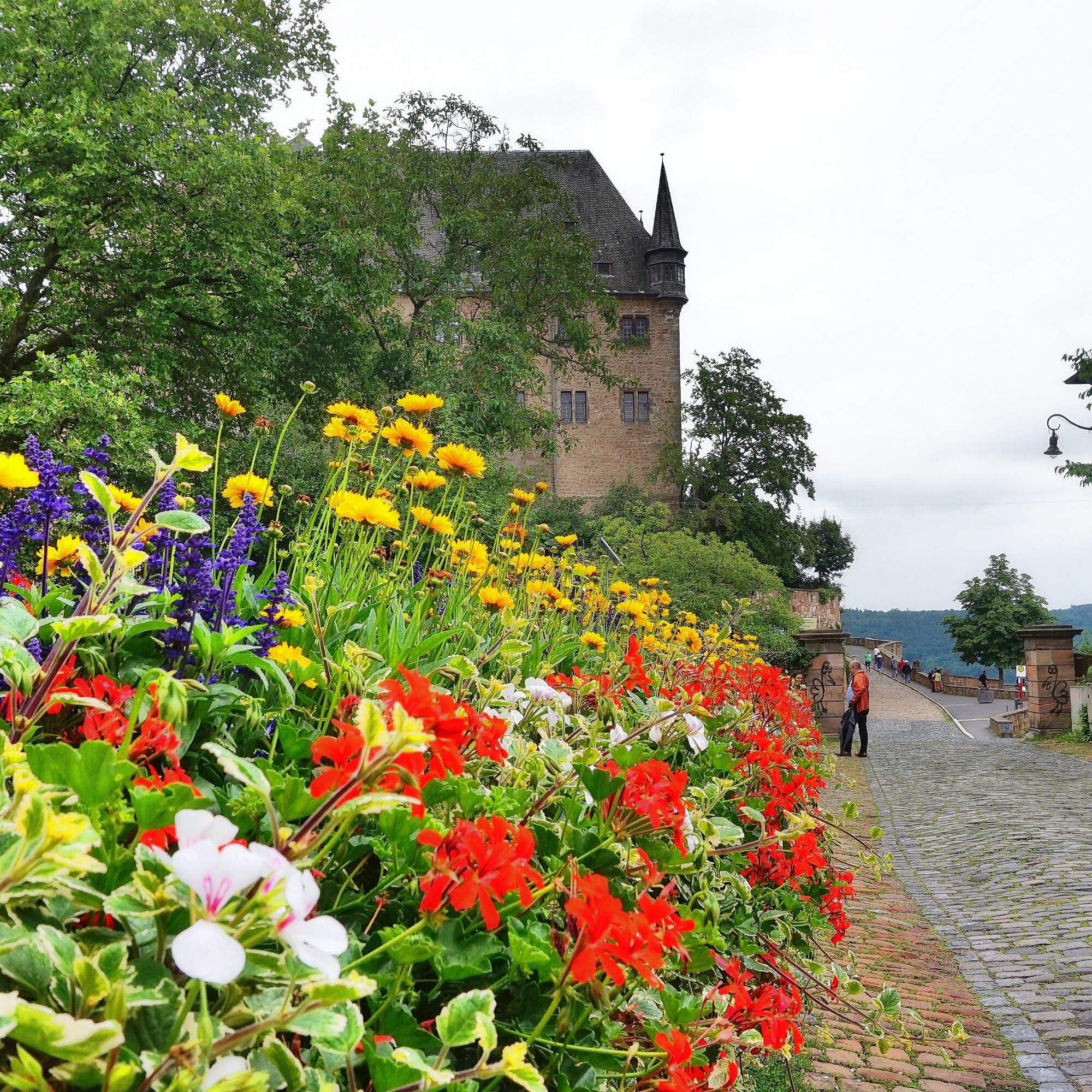
Don't worry, despite intense contact with the Lahn, hikers and cyclists do not get in each other's way in the Lahnknie nature reserve. The short detour to the Weißenstein ruins is worth it. The castle...
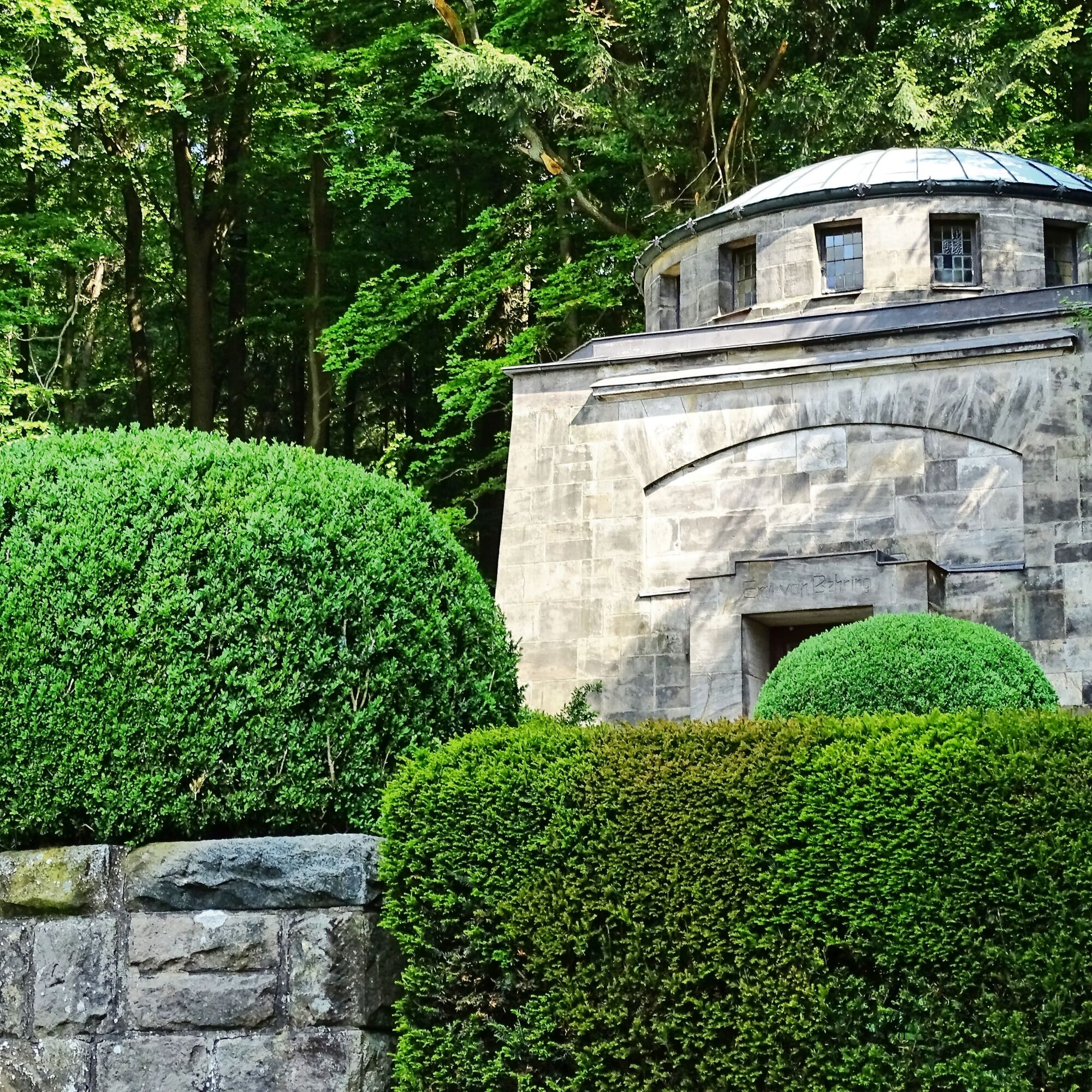
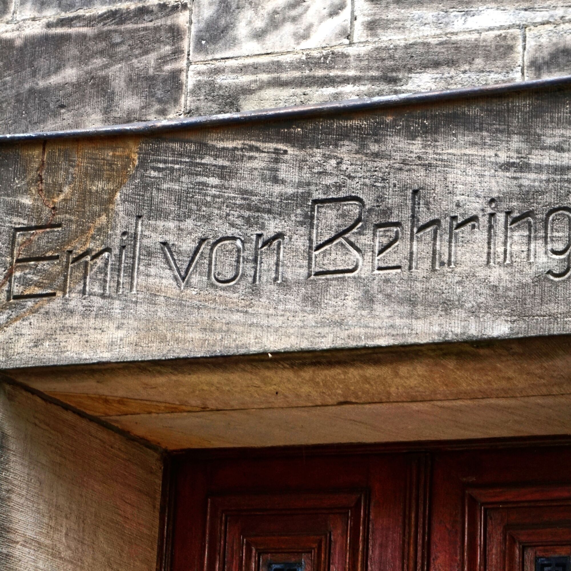
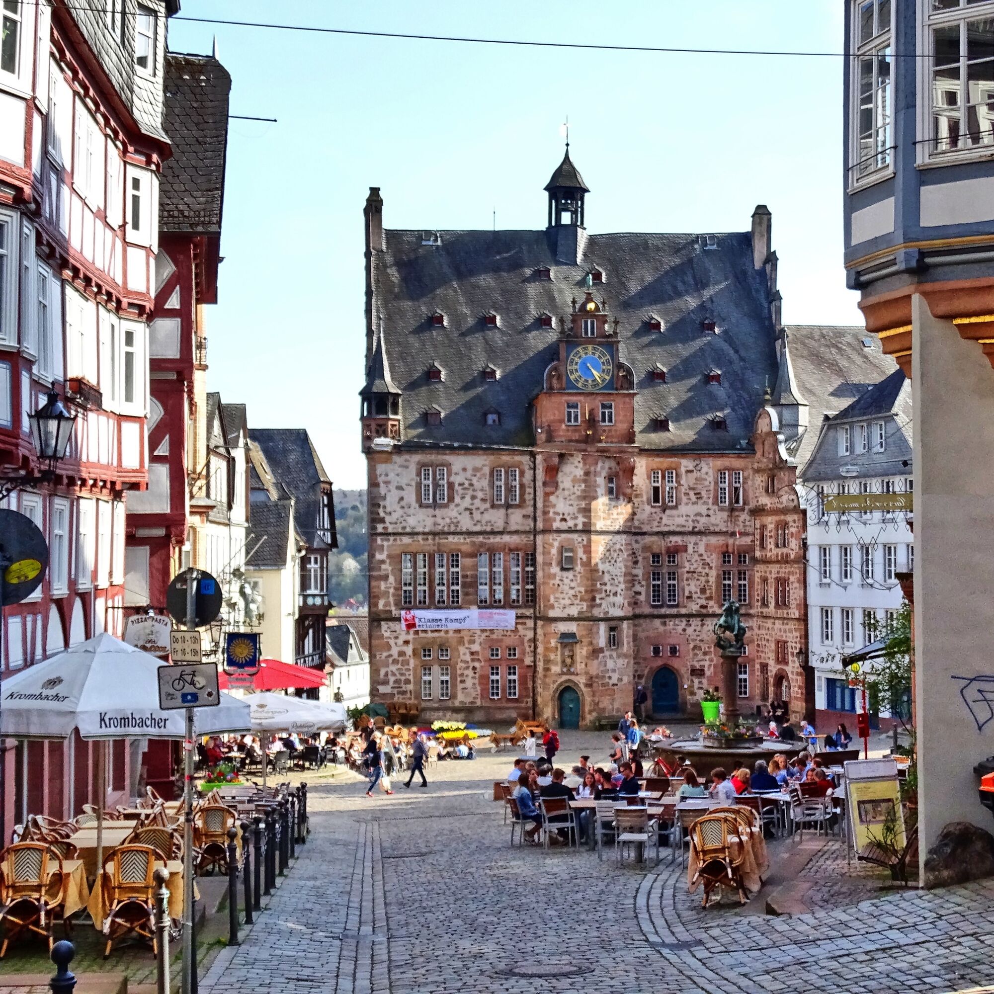
Don't worry, despite intense contact with the Lahn, hikers and cyclists do not get in each other's way in the Lahnknie nature reserve. The short detour to the Weißenstein ruins is worth it. The castle ruin lies on a 260 m high hilltop made of bright sandstone. The Behring Mausoleum is also gigantic. Emil von Behring, the first Nobel laureate in medicine, is called "Savior of the Children" because he conquered diphtheria. Marburg is a gem as a final destination – take your time and enjoy it.

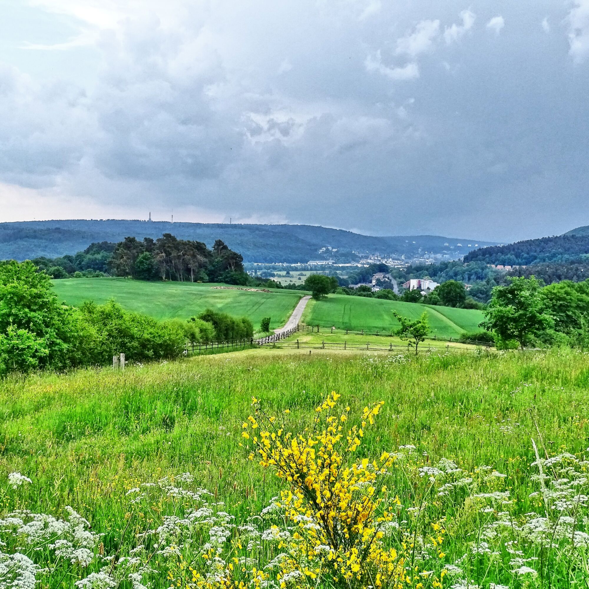
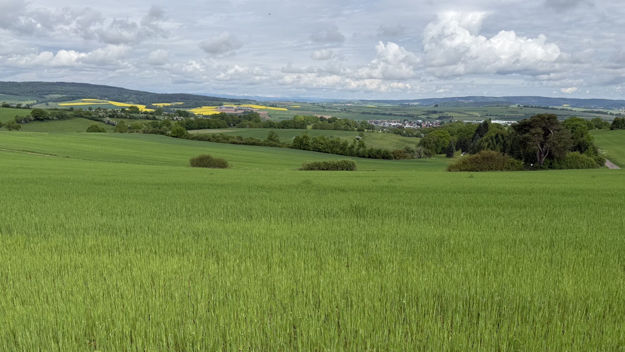
The stage starts in "Calantra." Under this name, the small town of Caldern in the upper Lahn valley was already mentioned in the early 9th century in the documents of the Fulda monastery. From the town center, first head towards the train station. After the Lahn bridge, turn right and walk through the beautiful Lahnknie nature reserve. The adjacent floodplain forest, grassland, and fallow areas, as well as the hedges, provide habitat for a variety of endangered animal and plant species. In Sterzhausen, first head to the railway crossing and then switch back to the other bank of the Lahn at the sports field.
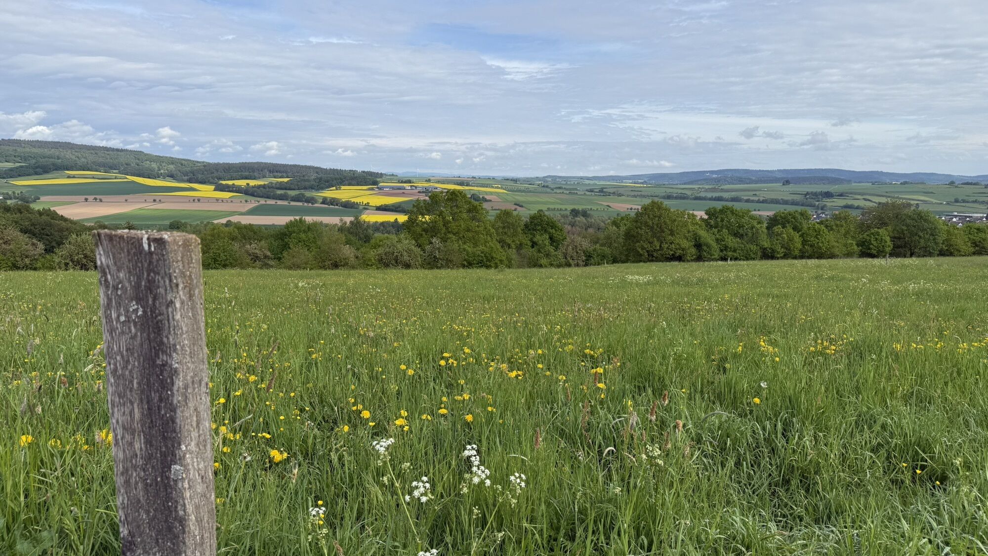
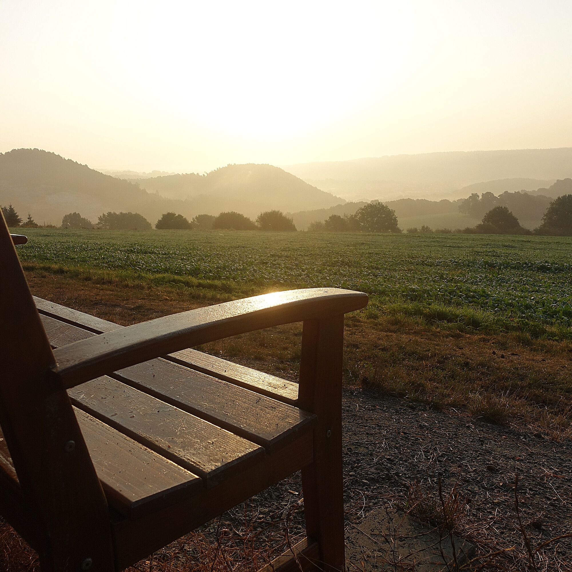
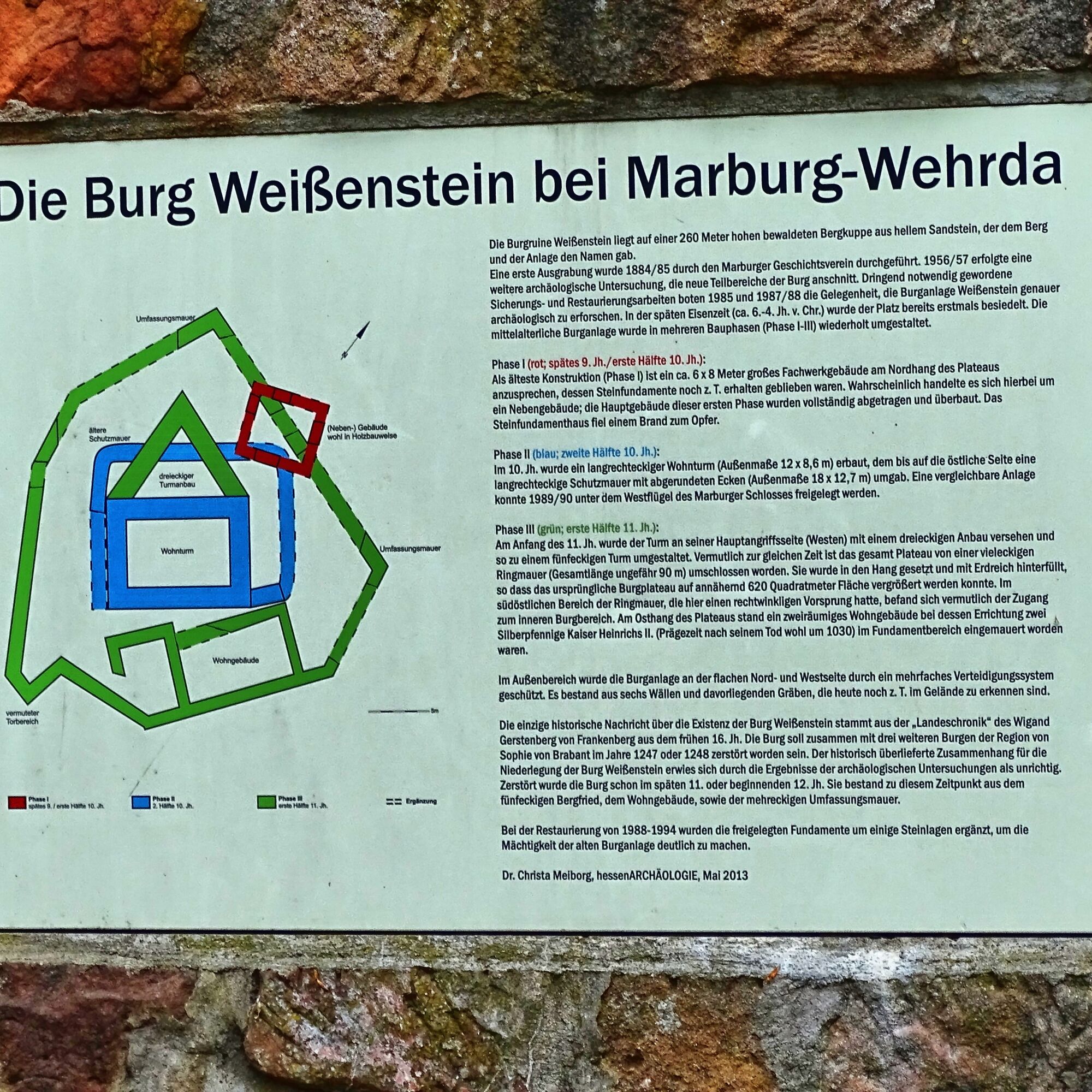
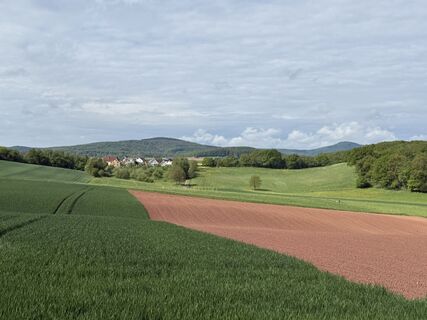
Through the pleasant hilly landscape, you now hike uphill. Soon, the houses of Michelbach come into view. Zig-zagging, you reach the wind turbines. Two wind turbines belong to the citizens' initiative "Wind Power for Michelbach." Along the edge of the forest, the Lahn hiking trail leads to a magnificent viewing bench. Set down your backpack and enjoy the sun! Soon, you can see Wehrda in the distance. After a short descent, you reach the junction to the Weißenstein castle ruins. The bright sandstone on the wooded hill gave the castle and mountain their names.
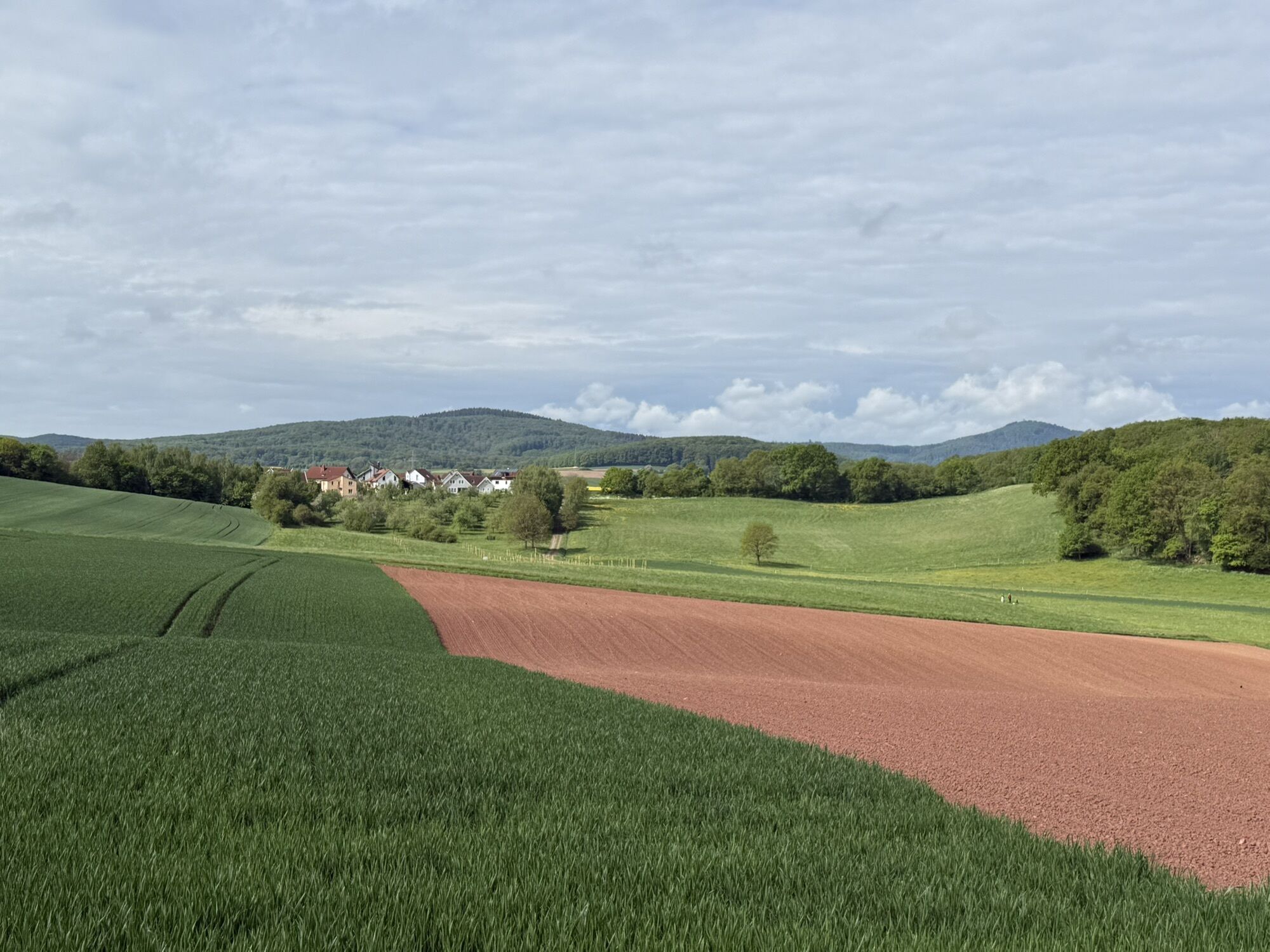
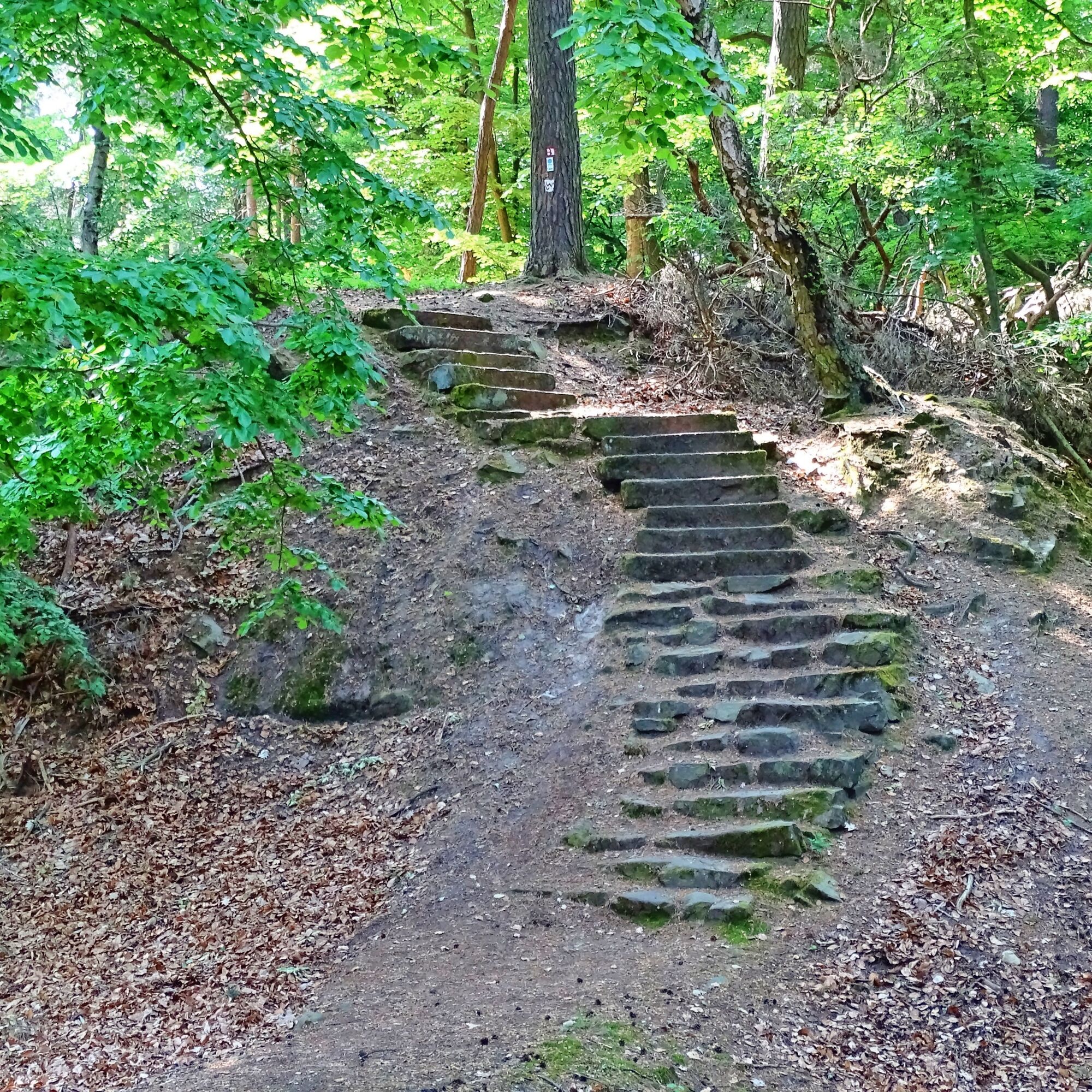
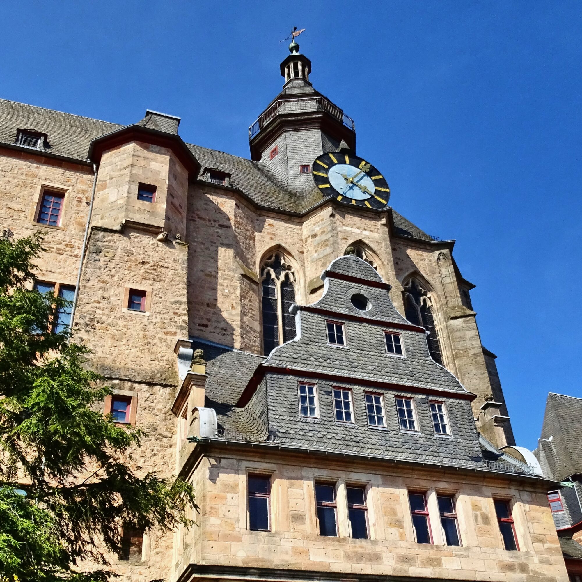
You should definitely take the short detour to the ruins, as a beautiful view and a spot to rest await at the right time. Afterwards, hike back to the junction and continue downhill past a shelter with a barbecue area. You will only touch the edge of Wehrda and then follow the signposts up the stairs to the little Marian chapel. The Lahn hiking trail then winds delightfully through the forest before suddenly and unexpectedly the Behring Mausoleum appears on the right side. Now you leisurely walk down to Marburg, admire the St. Michael's Chapel, known as "Michelchen" among the people of Marburg, and finally stand before the gigantic Elisabeth Church. It is the first Gothic church in Germany. Now all that's left is to explore and admire Marburg.
Normal hiking equipment required. Bring a packed snack and drinks.
For information on detours and path relocations please check our "Current Notices".
Information on rail network restrictions can be found here.
B 62 from Marburg to Caldern, Marburg B 3
In the town of Caldern
Tak
T1
The Lahn Hiking Trail on Facebook
The Lahn Hiking Trail on Instagram
Collect memories with the hiking pass
The free pocket guide "Lahn Hiking Trail" and further information are available under brochures for download and at
Lahntal Tourism Association e. V.
Brückenstraße 2,
35576 Wetzlar
Tel. 06441-30998-0
Marburg City and Country Tourism GmbH
Tourist Info | Bahnhofstr. 25 | 35037 Marburg
Tourist Info Oberstadt | Wettergasse 6 | 35037 Marburg
www.marburg-tourismus.de | info@marburg-tourismus.de
Tel.: +49 6421 99120 | Fax: +49 6421 991212
Start early in the morning in Caldern so you can fully enjoy the afternoon in the beautiful city of Marburg. Marburg has so much to offer!

Popularne wycieczki w okolicy
- 5,0
Franzosenwiesentour near Rosenthal
średniWędrówka 19,3 km - 4,0
Panorama path around Rauschenberg
średniWędrówka 15,9 km - 5,0
Eibenhardt Trail near Cölbe
światłoWędrówka 6,26 km Junkernpfad near Cölbe-Schönstadt
średniWędrówka 9,93 kmRotes-Wasser-Tour from Bracht
średniWędrówka 15,5 km- 3,0
Lahnradweg 2nd stage upstream Marburg - Biedenkopf
średniJazda na rowerze 35,7 km Burgwald Trail Marburg - Frankenberg (South-North)
średniWędrówka 49,0 kmLahnwanderweg Stage 05 Buchenau – Caldern
średniWędrówka 13,5 kmLahnwanderweg 04. Stage upstream Buchenau - Biedenkopf
światłoWędrówka 12,5 kmLahnwanderweg 6th stage upstream Marburg - Caldern
ciężkiWędrówka 15,9 km
Wędrówki i tropienie


Nie przegap ofert i inspiracji na następne wakacje
Twój adres e-mail została dodana do listy mailingowej.