






679 Waterfalls at Lag da Pigniu
Poziom trudności: T1

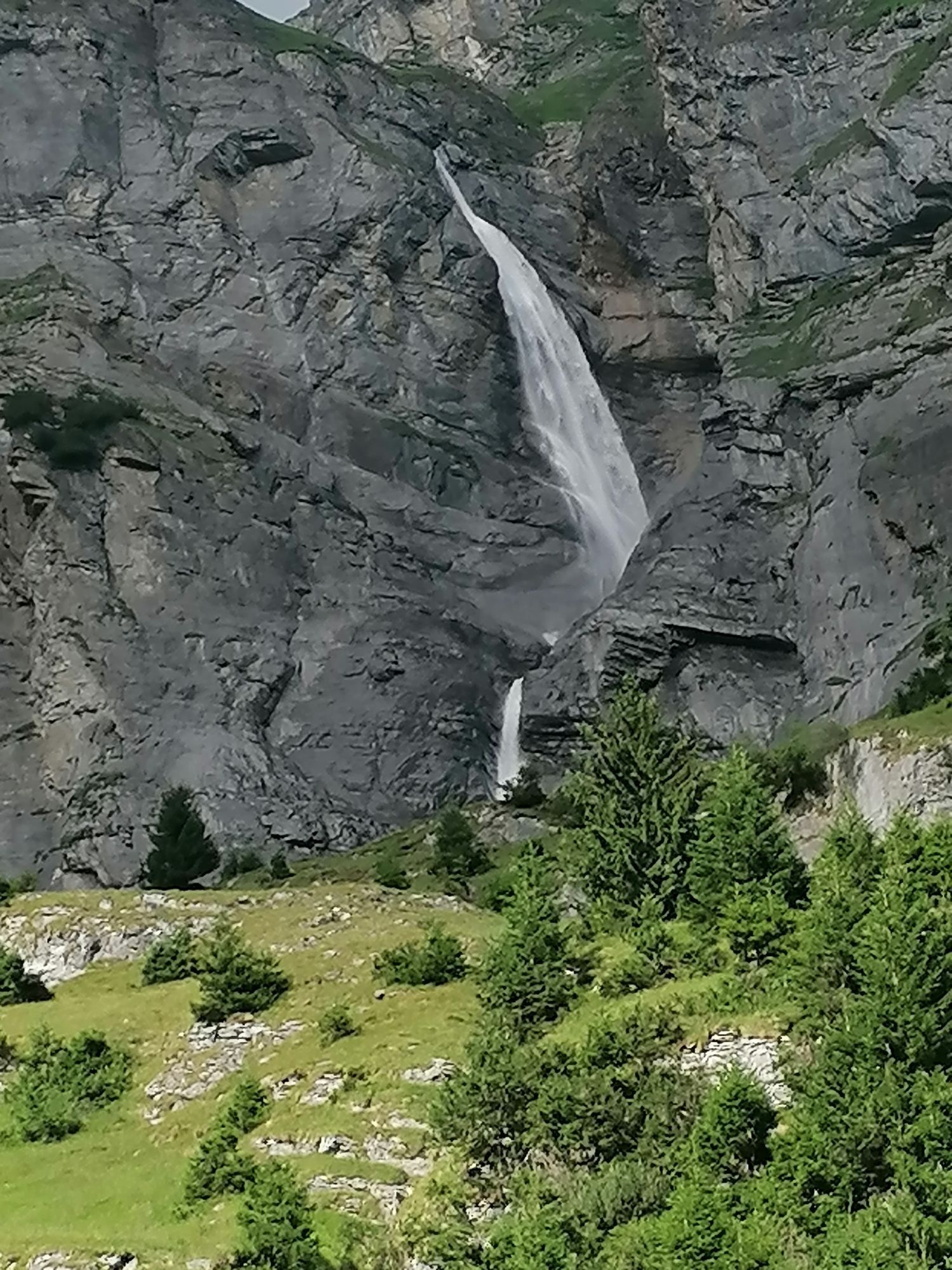
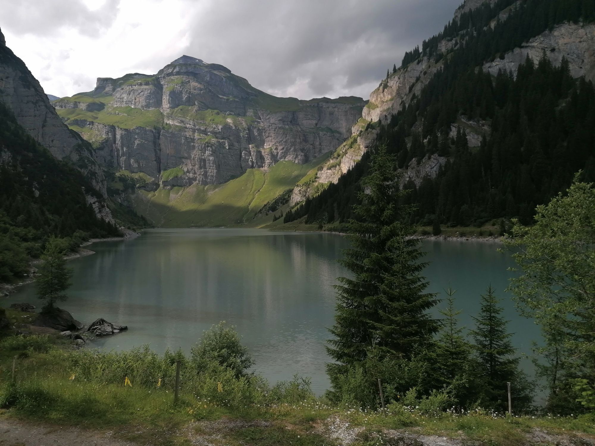
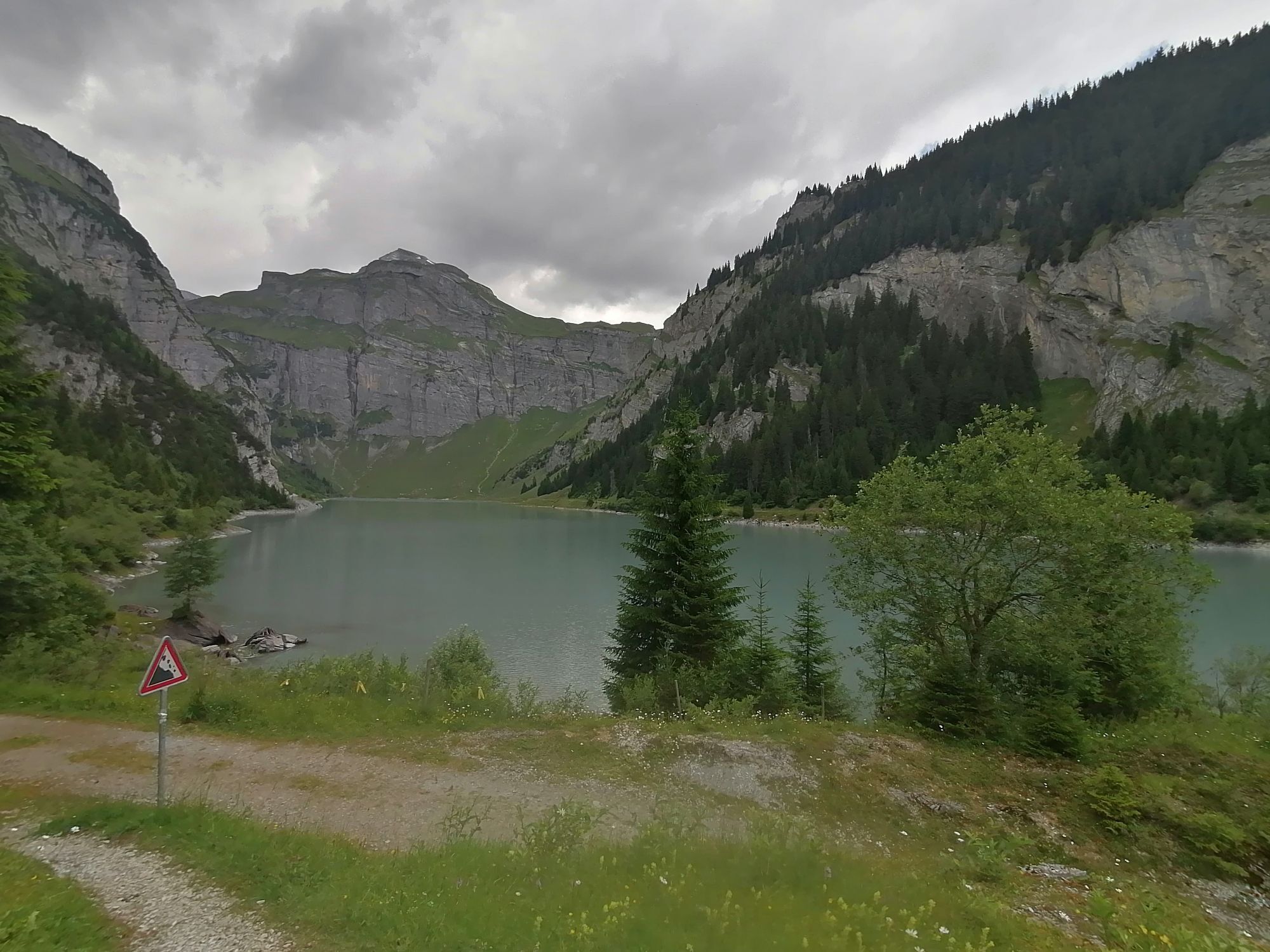
The hike begins in Andiast, the sun-drenched mountain village with open mountain panorama. On the hike towards Panix there are two fire pits. The family fire pit at Camartgin has a large playground that...
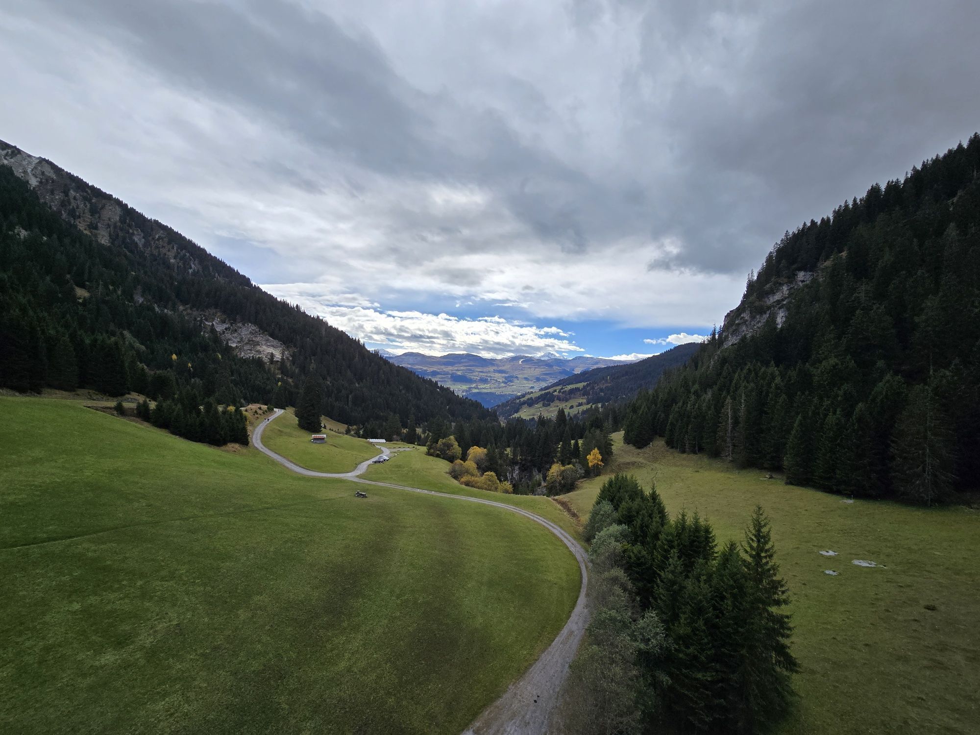
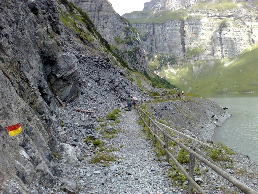
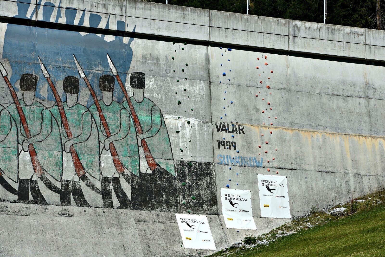
The hike begins in Andiast, the sun-drenched mountain village with open mountain panorama. On the hike towards Panix there are two fire pits. The family fire pit at Camartgin has a large playground that will make children’s hearts beat faster. Further on, the natural road partly follows the Schmuerbach to the dam. The painting by the Graubünden artist Martin Valär on the dam shows the crossing of the Panixer Pass by the Russian Field Marshal Suvorov, who fled with his troops in 1799 from the French army.
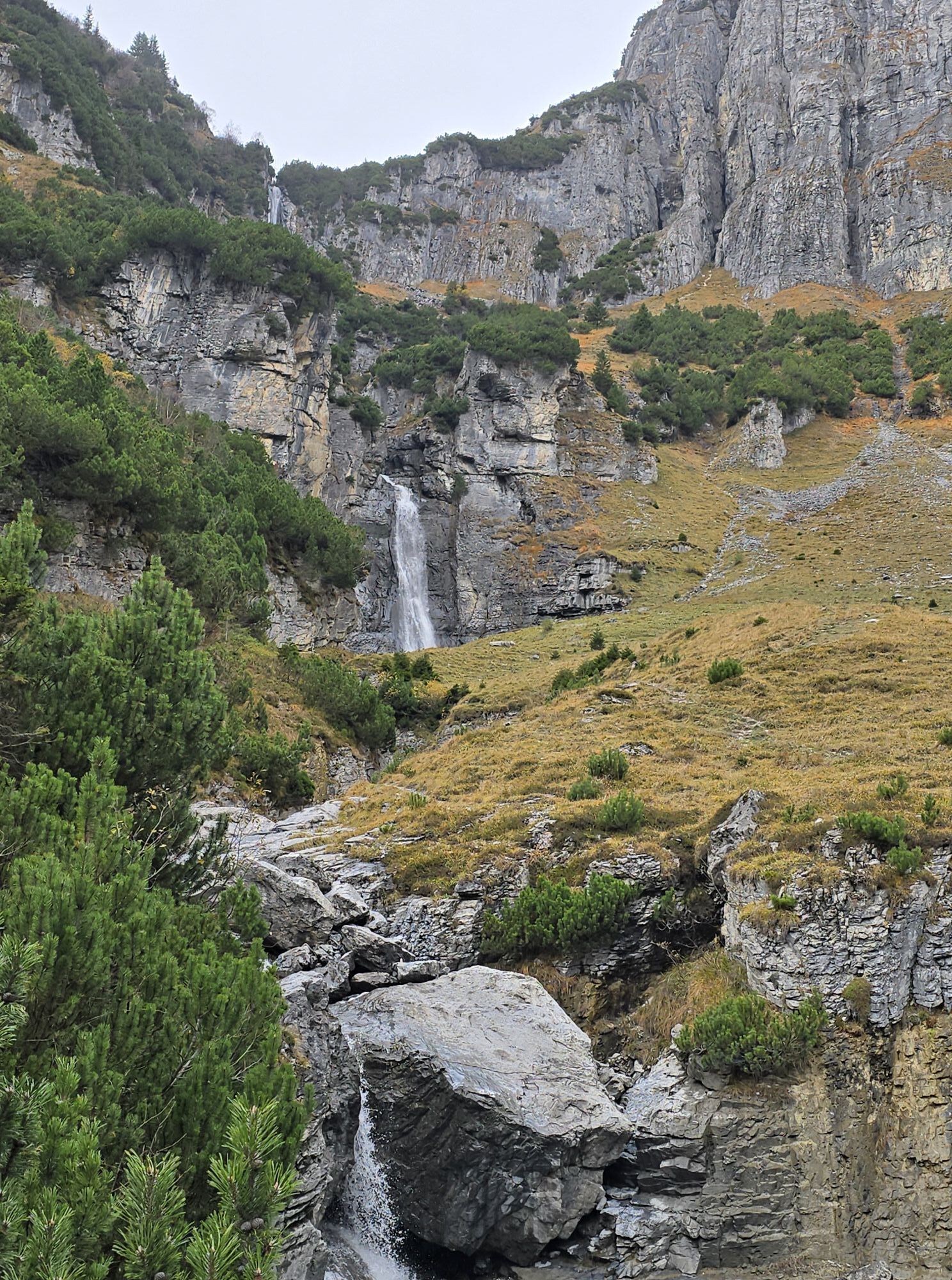
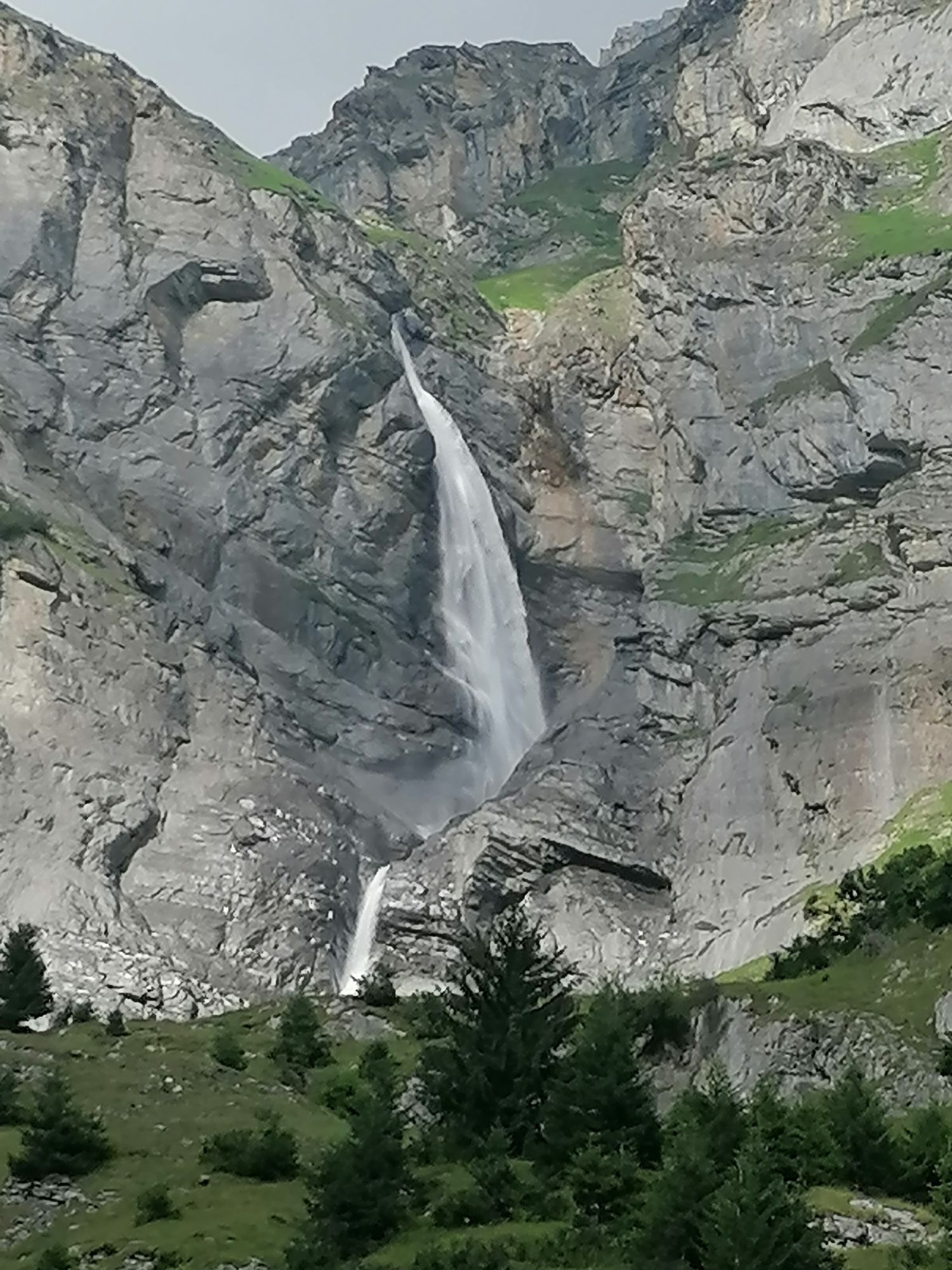
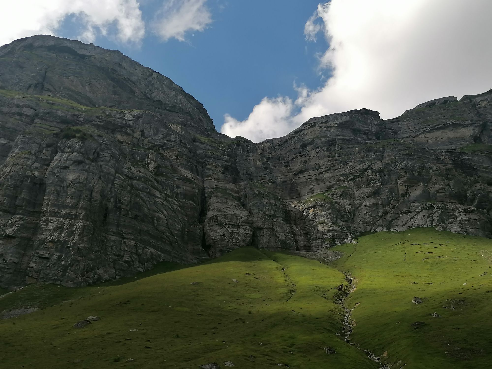
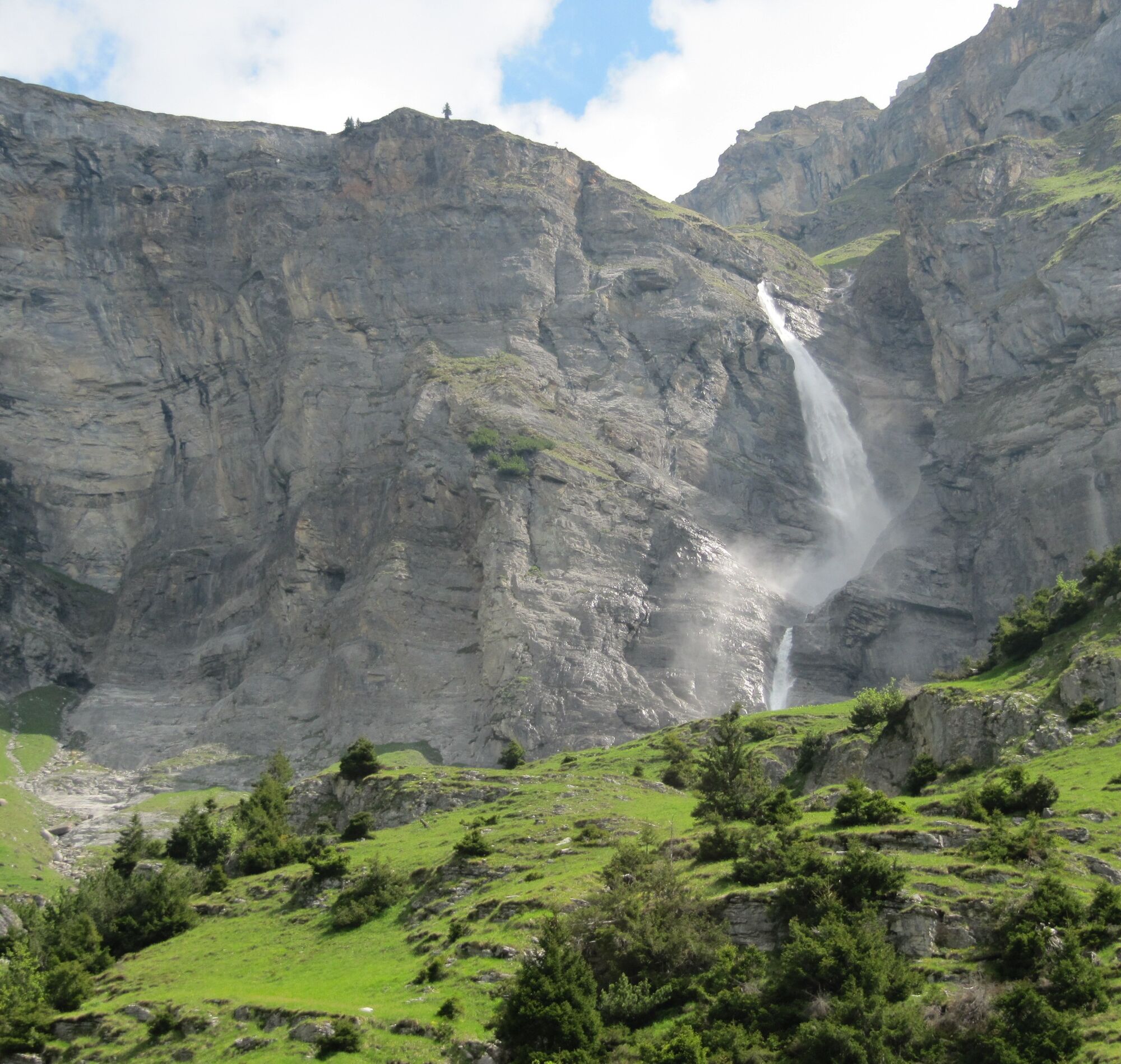
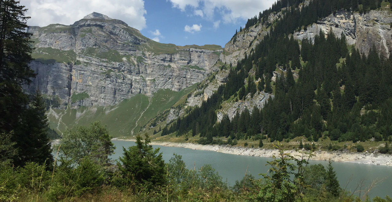
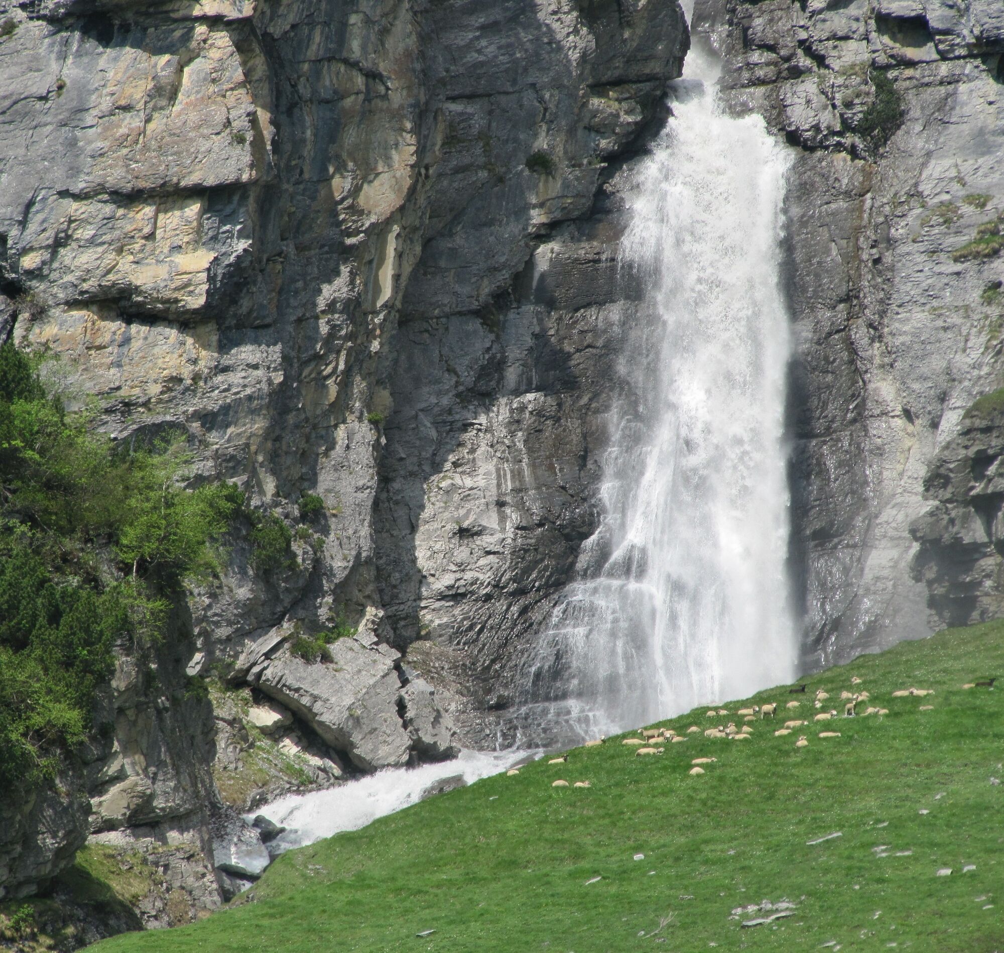
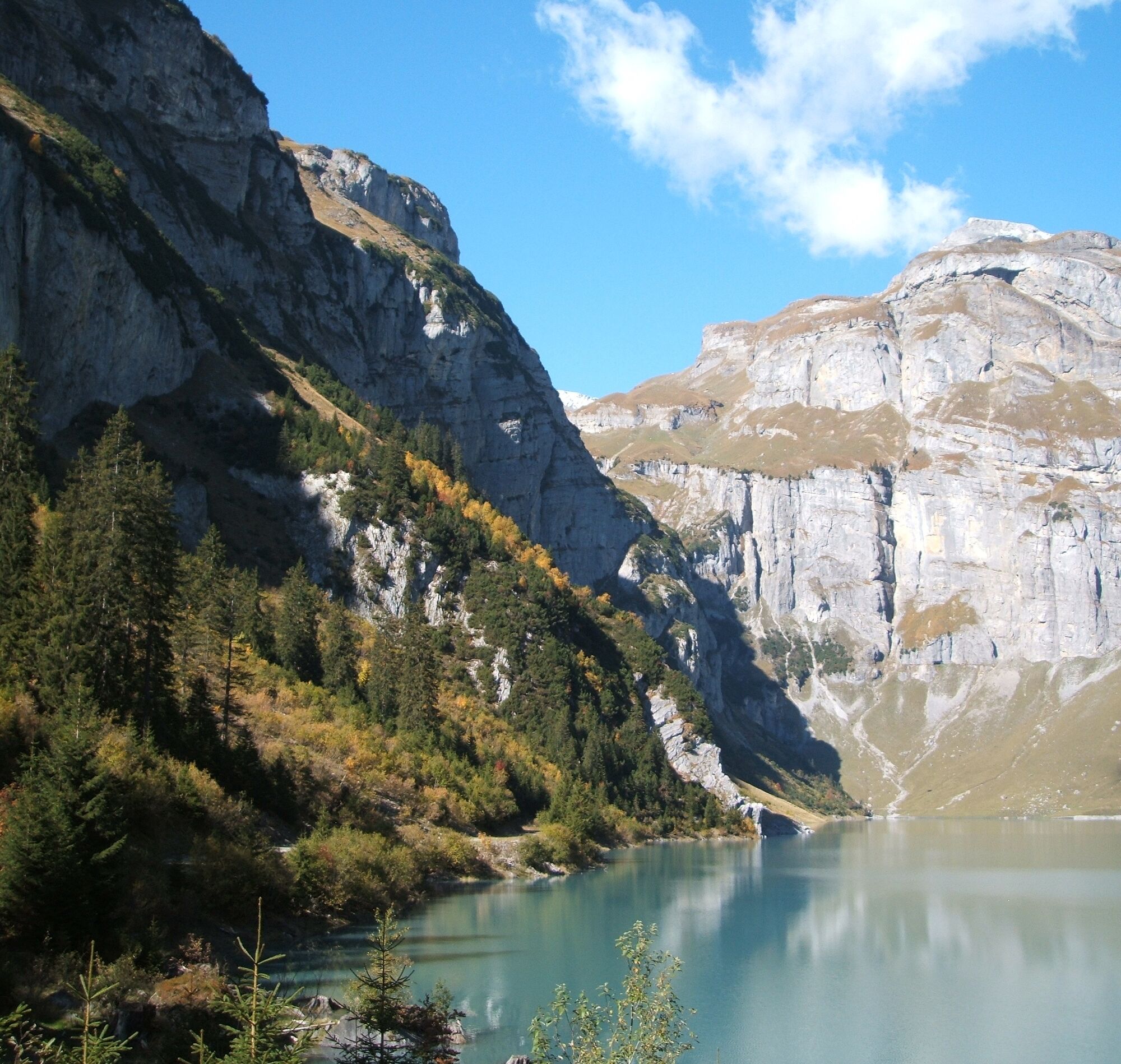
On a walk around the lake you can admire the high cascading waterfalls. Also visible are the magnificent mountains such as the Pèz Fluaz (2814 m above sea level). A break is worthwhile at the fire pit by the lake to enjoy the view and the tranquility. The fire pits have a grill grate and wood.
If you still have enough stamina on the return hike, there is the option to use the climbing facility at the dam. There are various places to eat and drink in Pigniu/Panix or Andiast.


Andiast - Camartgin - Lag da Pigniu - Andiast
Hiking boots with good tread or trekking shoes, weather-appropriate clothing (rain jacket), drink, possibly hiking poles.
The route should not be started in uncertain weather conditions. Weather changes are common in the mountains. If a rain front or similar arises during the hike, you should turn back in good time.
From Ilanz or Disentis via the main road and Waltensburg to Andiast.
By post bus from Ilanz to Andiast, vitg
There are a limited number of parking spaces in front of and in the village centre.
T1
Info Brigels
Via Principala
347165 Breil/Brigels
Tel. +41 (0)81 941 13 31
brigels@surselva.info
www.surselva.info


Kamery internetowe z trasy
Uzyskaj wgląd
Zawsze na żywo z ponad 9 500 kamer internetowych. bergfex Jako użytkownik Pro, możesz teraz zobaczyć odpowiednie kamery internetowe dla wielu wycieczek w aplikacji wycieczki od. Pozwala to na bezpośredni podgląd aktualnych warunków.
Popularne wycieczki w okolicy
-
4,4
4-lake hike: Caumasee - Crestasee - Felsbach Gorge
średniWędrówka 12,8 km -
4,8
Rheinschlucht: From Ilanz to Versam into the heart of the Rheinschlucht
średniWędrówka 11,4 km -
4,8
Rhine Gorge Hike: Senda Ruinaulta (659)
światłoWędrówka 9,39 km -
4,7
The Water Trail: Trutg dil Flem 764
ciężkiTrasa tematyczna 8,56 km -
5,0
High valley Val Frisal
ciężkiWędrówka 12,4 km -
5,0
Caumasee tour: Flims - Caumasee - Conn - Flims
światłoWędrówka 7,94 km -
5,0
Kalktrittli - Nüschentäli - Muttsee - Obersee - Muttenchopf - Mörtel - Limmerensee - Kalktrittli (durch Stollen)
średniWędrówka 14,8 km -
5,0
Lower Segnesboden: Nagens Sura - Lower Segnesboden - Segnes hut - Alp Nagens
średniWędrówka 6,66 km -
4,3
Circular hike: Falera-Curnius-Alp Dadens-Falera
średniWędrówka 11,4 km -
5,0
Circular route: Lake Cauma - Rhine Gorge "Swiss Grand Canyon"
średniWędrówka 19,8 km
Wędrówki i tropienie


Nie przegap ofert i inspiracji na następne wakacje
Twój adres e-mail została dodana do listy mailingowej.





