






735.01 Walserweg Safiental: Versam - Tenna
Poziom trudności: T3
From Versam-Safien station via the Tenner Chrüz to Tenna
The second stage begins at Versam-Safien station and leads steadily uphill – first through fragrant pine forests, then through the picturesque village...
From Versam-Safien station via the Tenner Chrüz to Tenna
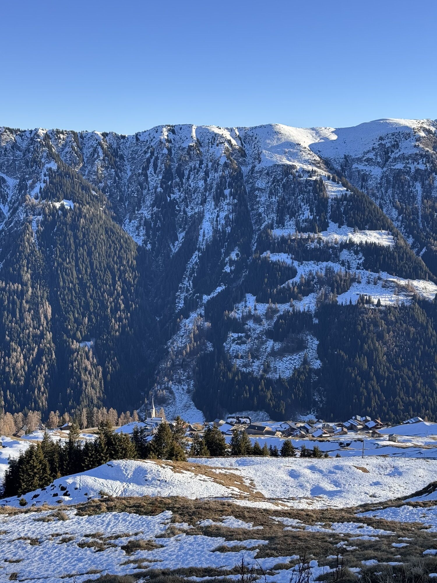
The second stage begins at Versam-Safien station and leads steadily uphill – first through fragrant pine forests, then through the picturesque village of Versam with its typical Walser houses.
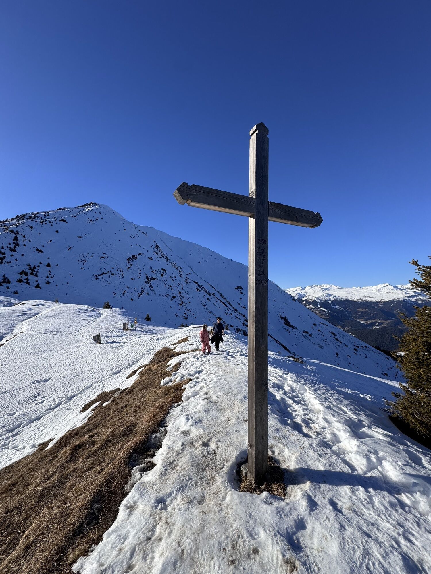
Past the Brüner Alp, the view opens wide over the Surselva and the Grisons Rhine Valley. The path continues to rise to the Tenner Chrüz at 2,020 m above sea level – a true highlight of the route. From here you enjoy a breathtaking panorama: from the UNESCO World Heritage Tektonikarena Sardona over the cantonal capital Chur to the distant peaks of the Engadin. For the first time, the Safien Valley with the distinctive Piz Beverin also lies before you.
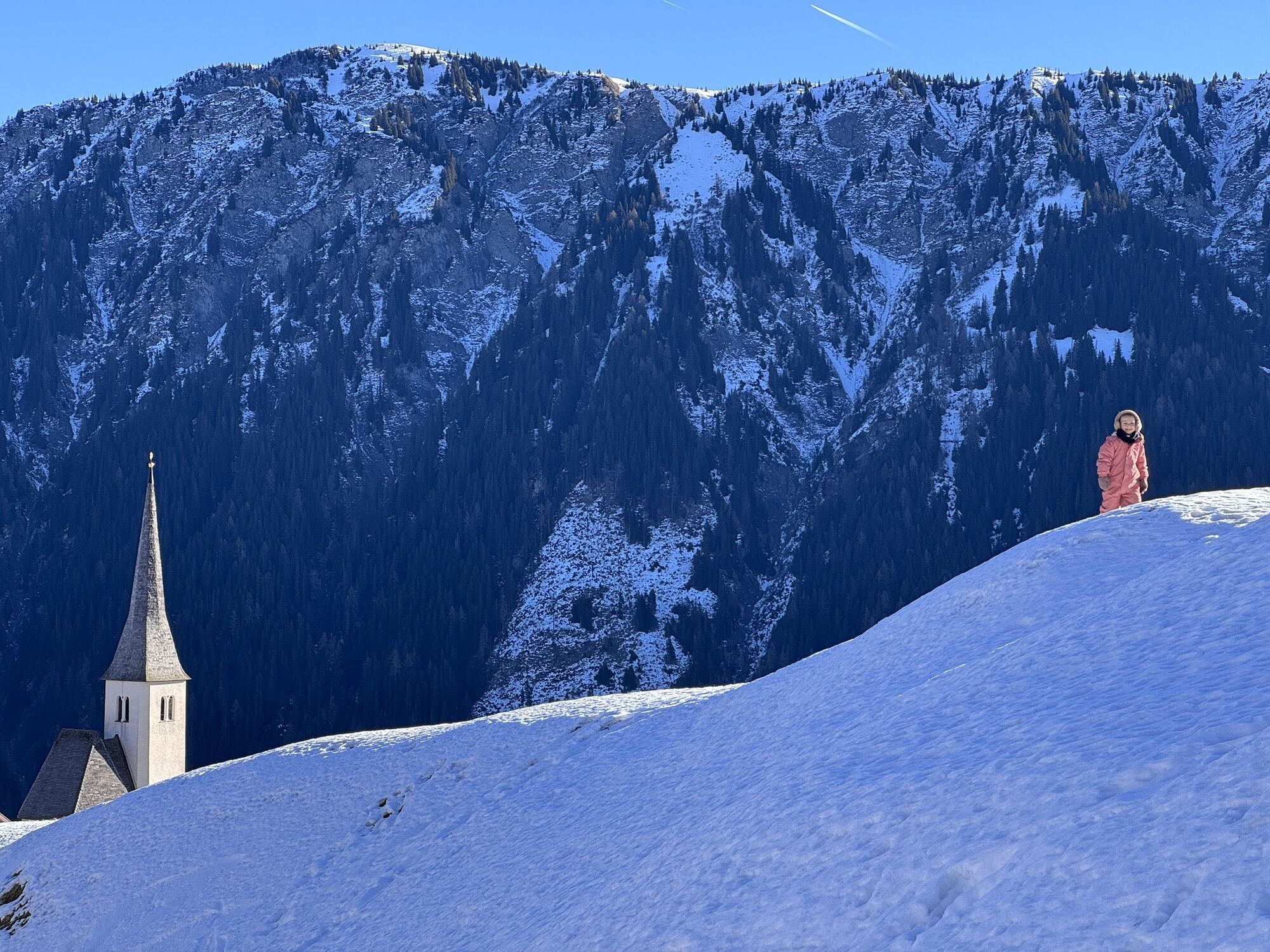
The descent leads over the Tenner Alp down to the mountain village of Tenna, where the stage ends.

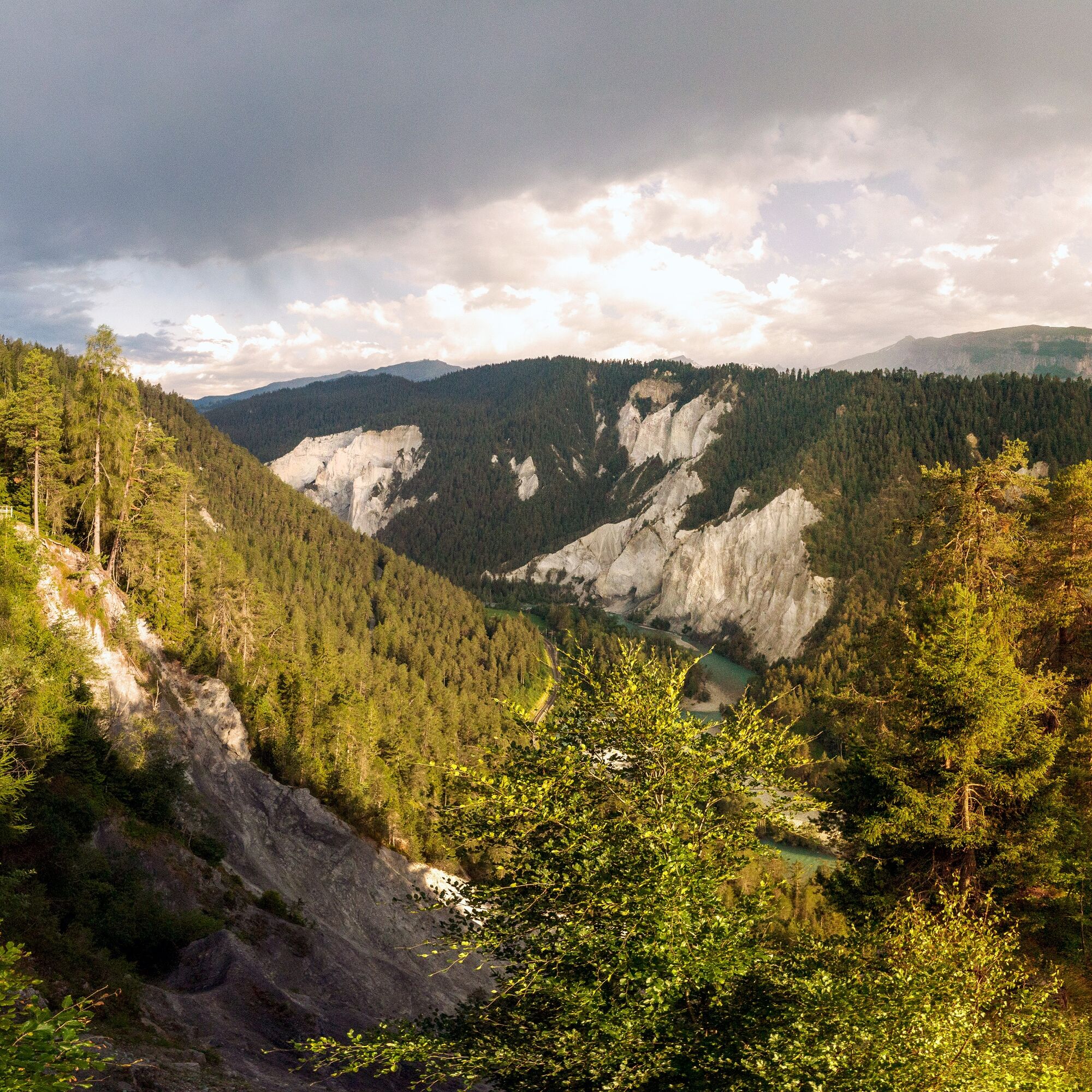
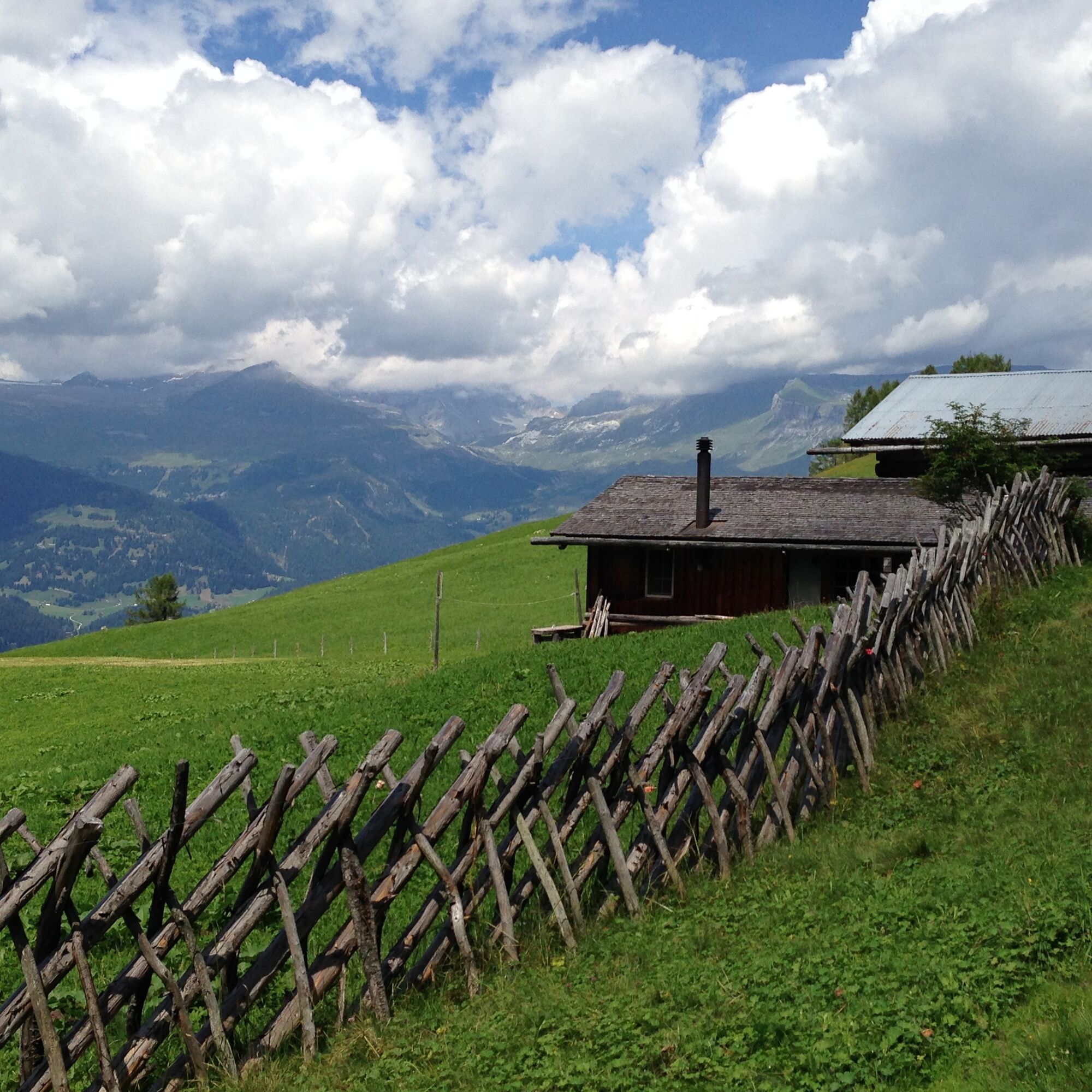
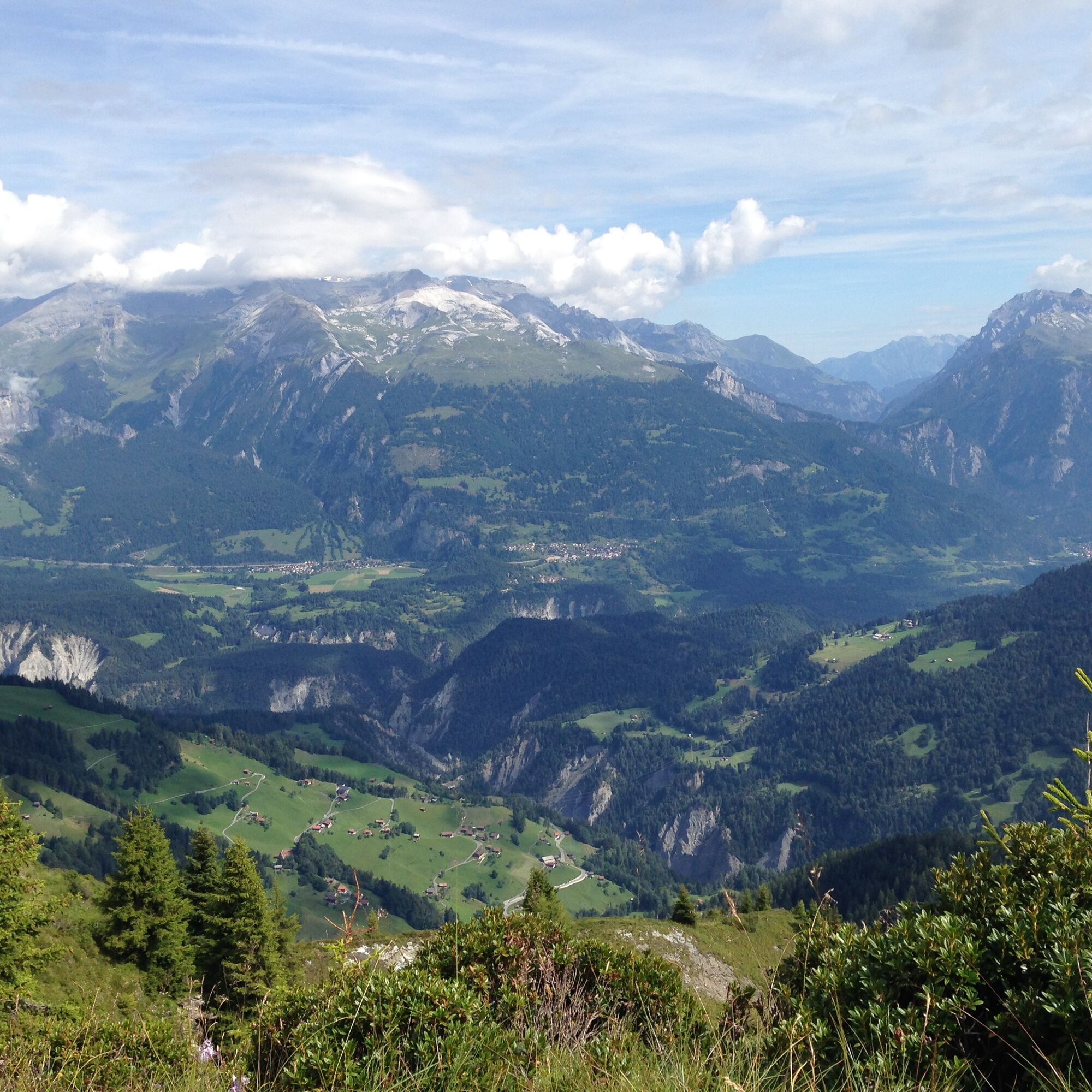


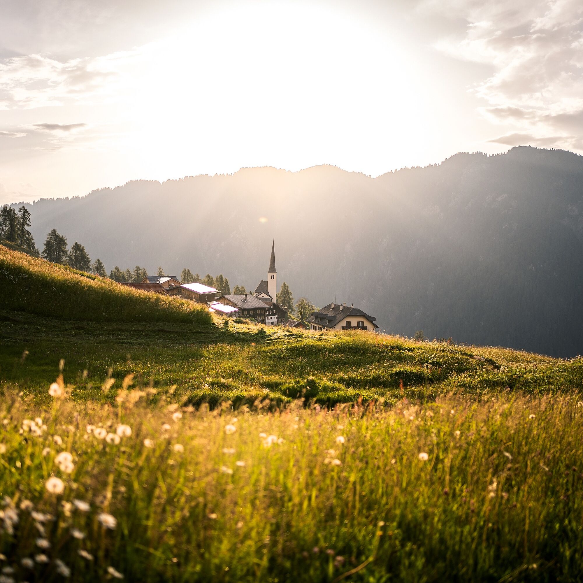

Versam-Safien station - Versam - Imschlacht - Brüner Alp - Tenner Chrüz - Tenner Alp - Tenna
Good hiking boots with a good tread, weather-appropriate clothing (rain jacket/sun protection), change of clothes, first aid kit, drink, provisions, possibly hiking poles.
The route should not be started in uncertain weather conditions. Weather changes in the mountains are common. If a rain front or similar approaches during the hike, you should turn back in good time.
Please note that from October 1 to 12, 2025, delays must be expected due to forestry work between Fahn and Sommergada (Arezen). Follow the instructions of the staff on site. From October 13 to November 14, 2025, this section of the path will be completely closed.
By train from Chur to Versam-Safien station
T3
The Walserweg Safiental can be booked as an individual hiking package. From Thalkirch to Versam in 3 stages. The package includes the following services: 3 overnight stays including half board, 3 x luggage transport between stage locations, 3 x daily provisions, free admission to the Safier Heimatmuseum, ticket for the post bus from Versam to Thalkirch Turrahus, cultural landscape guide Safiental, saga booklet, travel documentation. Bookable online at www.walserweg.ch
Information: Safiental Tourism
Our tips for this stage:
Islabord viewing platform near Versam: Spectacular view into the unique Rhine Gorge with its rock walls up to 300 m high.
Tenna church: The beautifully restored frescoes from the late Middle Ages tell the Passion cycle and are of national importance. It is also worth taking a look at the beautifully decorated wooden ceiling.
The Maiensäss Beizli Imschlacht: an ideal place for a lunch break.
The Rhine Gorge/Ruinaulta bus can be used to shorten the route.
Kamery internetowe z trasy
Uzyskaj wgląd
Zawsze na żywo z ponad 9 500 kamer internetowych. bergfex Jako użytkownik Pro, możesz teraz zobaczyć odpowiednie kamery internetowe dla wielu wycieczek w aplikacji wycieczki od. Pozwala to na bezpośredni podgląd aktualnych warunków.
Popularne wycieczki w okolicy
-
4,4
4-lake hike: Caumasee - Crestasee - Felsbach Gorge
średniWędrówka 12,8 km -
4,8
Rheinschlucht: From Ilanz to Versam into the heart of the Rheinschlucht
średniWędrówka 11,4 km -
4,8
Rhine Gorge Hike: Senda Ruinaulta (659)
światłoWędrówka 9,39 km -
4,8
Mountain hike to the Strudeltöpfe on Alp Mora: Bargis-Trin
ciężkiWędrówka 18 km -
4,7
The Water Trail: Trutg dil Flem 764
ciężkiTrasa tematyczna 8,56 km -
5,0
Caumasee tour: Flims - Caumasee - Conn - Flims
światłoWędrówka 7,94 km -
4,3
Historic Pinut via ferrata
średniVia ferrata 5,82 km -
5,0
Lower Segnesboden: Nagens Sura - Lower Segnesboden - Segnes hut - Alp Nagens
średniWędrówka 6,66 km -
4,3
Circular hike: Falera-Curnius-Alp Dadens-Falera
średniWędrówka 11,4 km -
5,0
Rhine Gorge Circular Hike
średniWędrówka 11,4 km
Wędrówki i tropienie


Nie przegap ofert i inspiracji na następne wakacje
Twój adres e-mail została dodana do listy mailingowej.





