


Crown hike: Biferten Hut - Andiast (by public transport to Vals) (stage 5)
Poziom trudności: T3
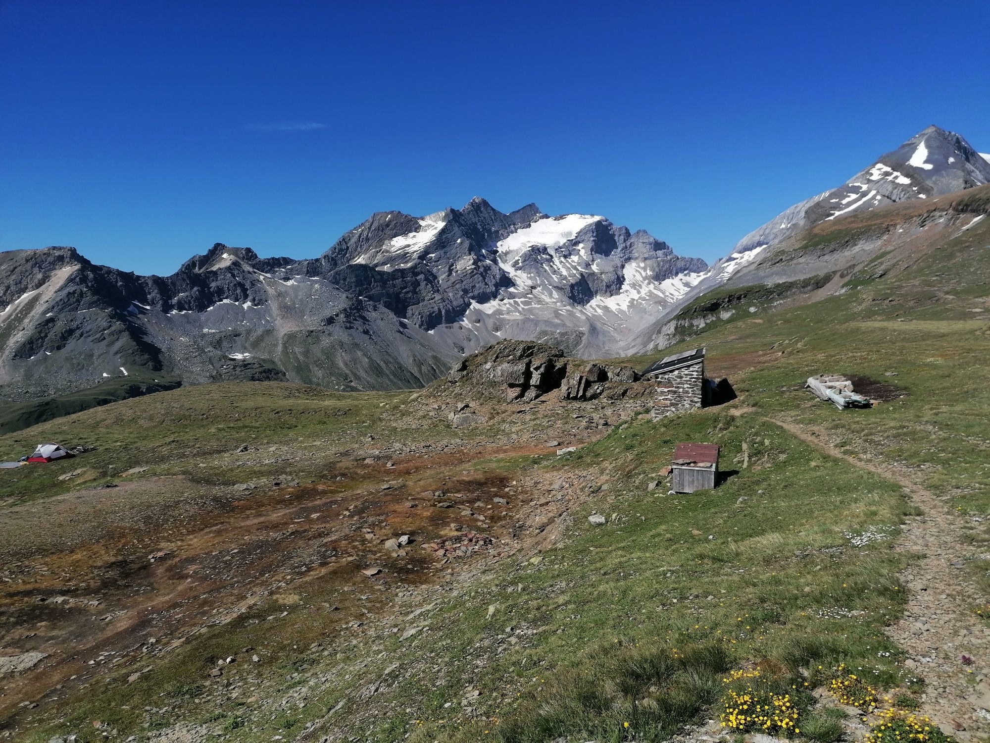
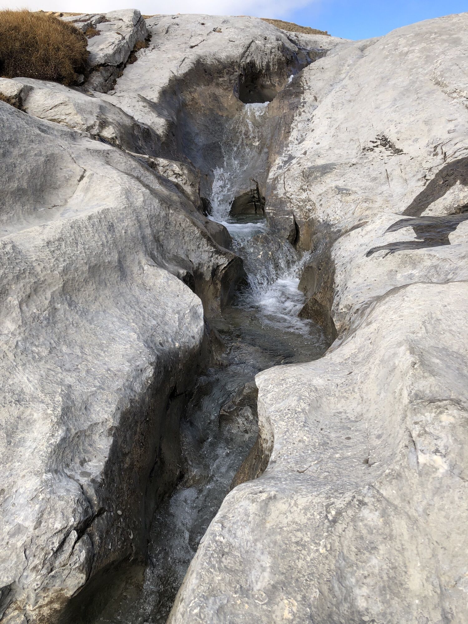
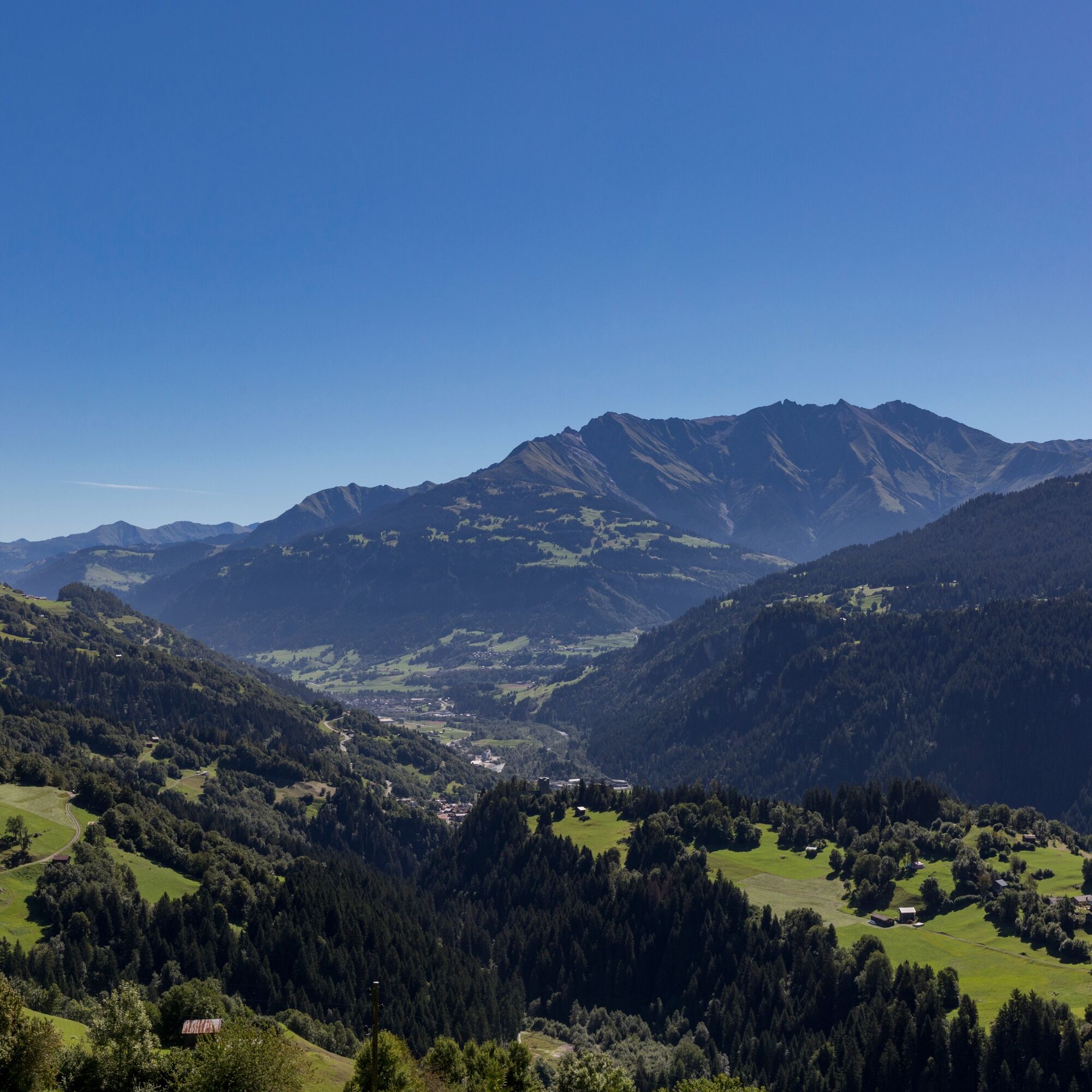
From the Biferten Hut, the trail leads over the Falla Lenn saddle to Cavorgia da Vuorz. Through barren rocky landscape with impressive rock formations, the hiking trail finally leads down over alpine pastures...
From the Biferten Hut, the trail leads over the Falla Lenn saddle to Cavorgia da Vuorz. Through barren rocky landscape with impressive rock formations, the hiking trail finally leads down over alpine pastures to Andiast.
From Andiast, you go by post bus via Ilanz to Vals.
See also
Surselva Tourism
Bahnhofstrasse 25
7130 Ilanz
Tel.: 0041 81 920 11 05
Email: ilanz@surselva.info
Internet: www.surselva.info

Biferten Hut - Falla Lenn - Cavorgia da Vuorz (by public transport via Ilanz to Vals)
Good hiking shoes with good tread, weather-appropriate clothing (rain jacket/sun protection), change of clothes, first aid kit, drinks, food, GPS device, possibly hiking poles.
Attention: Snowfields are possible in high-altitude sections until the summer months.
In uncertain weather conditions, the route should not be started. Weather changes in the mountains are frequent. If a rain front or similar approaches during the hike, you should turn back in time.
T3
The thrust faults of the Alpine folding at Piz d'Artgas, the mountain of the bows, are particularly beautiful to see.
The distance given here (calculated) is not correct. It only adds up to 16 kilometers.
Kamery internetowe z trasy
-
Dachberghütte
-
Vals Dorf
-
Alp Dado
-
Alp Dado
-
Stein - Obersaxen Mundaun
-
Stein - Obersaxen Mundaun
-
Stein - Obersaxen Mundaun
-
Stein - Obersaxen Mundaun
-
Pradas Resort
-
Pradas Resort
-
Pradas Resort
-
Stein - Obersaxen Mundaun
-
Davos Munts
-
Camuns
-
Alp Dado
-
Alp Dado
-
Alp Dado
-
Alp Dado
-
Ladir
-
Ladir
-
Burleun Bergrestaurant
-
Golfplatz Brigels
Popularne wycieczki w okolicy
-
4,4
4-lake hike: Caumasee - Crestasee - Felsbach Gorge
średniWędrówka 12,8 km -
4,8
Rheinschlucht: From Ilanz to Versam into the heart of the Rheinschlucht
średniWędrówka 11,4 km -
4,8
Rhine Gorge Hike: Senda Ruinaulta (659)
światłoWędrówka 9,39 km -
4,7
The Water Trail: Trutg dil Flem 764
ciężkiTrasa tematyczna 8,56 km -
5,0
High valley Val Frisal
ciężkiWędrówka 12,4 km -
5,0
Caumasee tour: Flims - Caumasee - Conn - Flims
światłoWędrówka 7,94 km -
5,0
Lower Segnesboden: Nagens Sura - Lower Segnesboden - Segnes hut - Alp Nagens
średniWędrówka 6,66 km -
4,3
Circular hike: Falera-Curnius-Alp Dadens-Falera
średniWędrówka 11,4 km -
5,0
Rhine Gorge Circular Hike
średniWędrówka 11,4 km -
5,0
Circular route: Lake Cauma - Rhine Gorge "Swiss Grand Canyon"
średniWędrówka 19,8 km
Wędrówki i tropienie


Nie przegap ofert i inspiracji na następne wakacje
Twój adres e-mail została dodana do listy mailingowej.