






Valley hike Egschisee - Sculms - Versam
Poziom trudności: T1
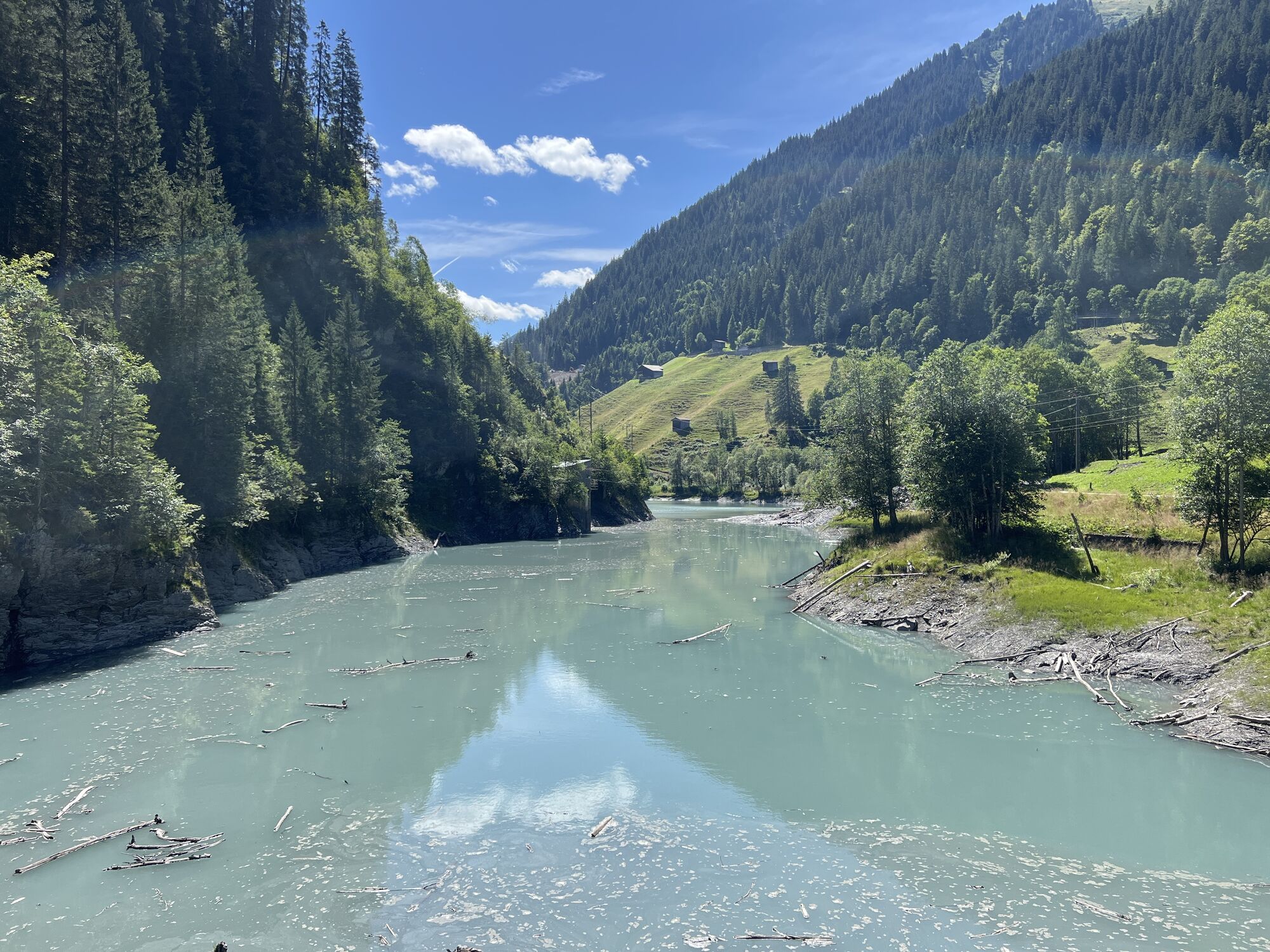
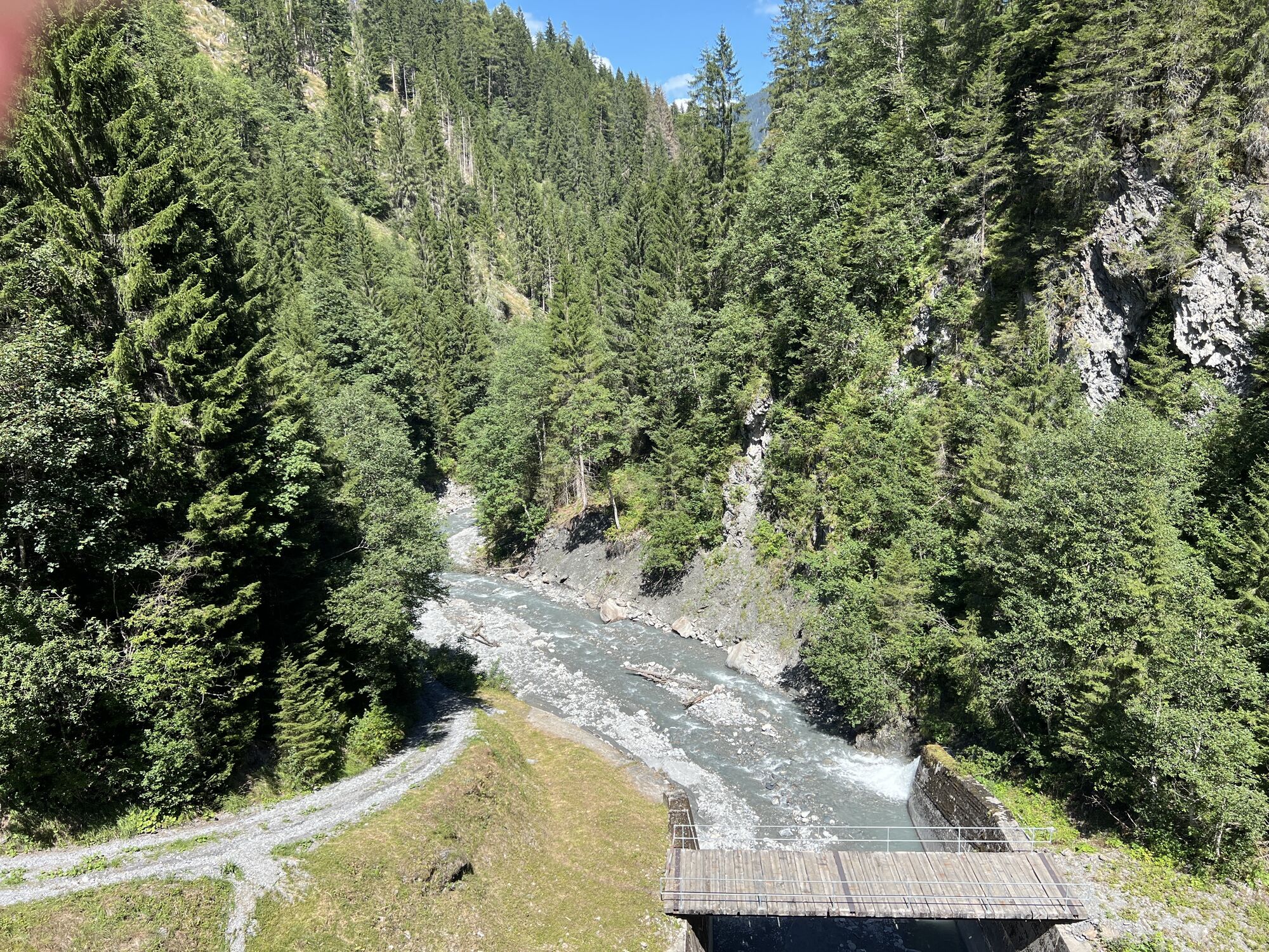
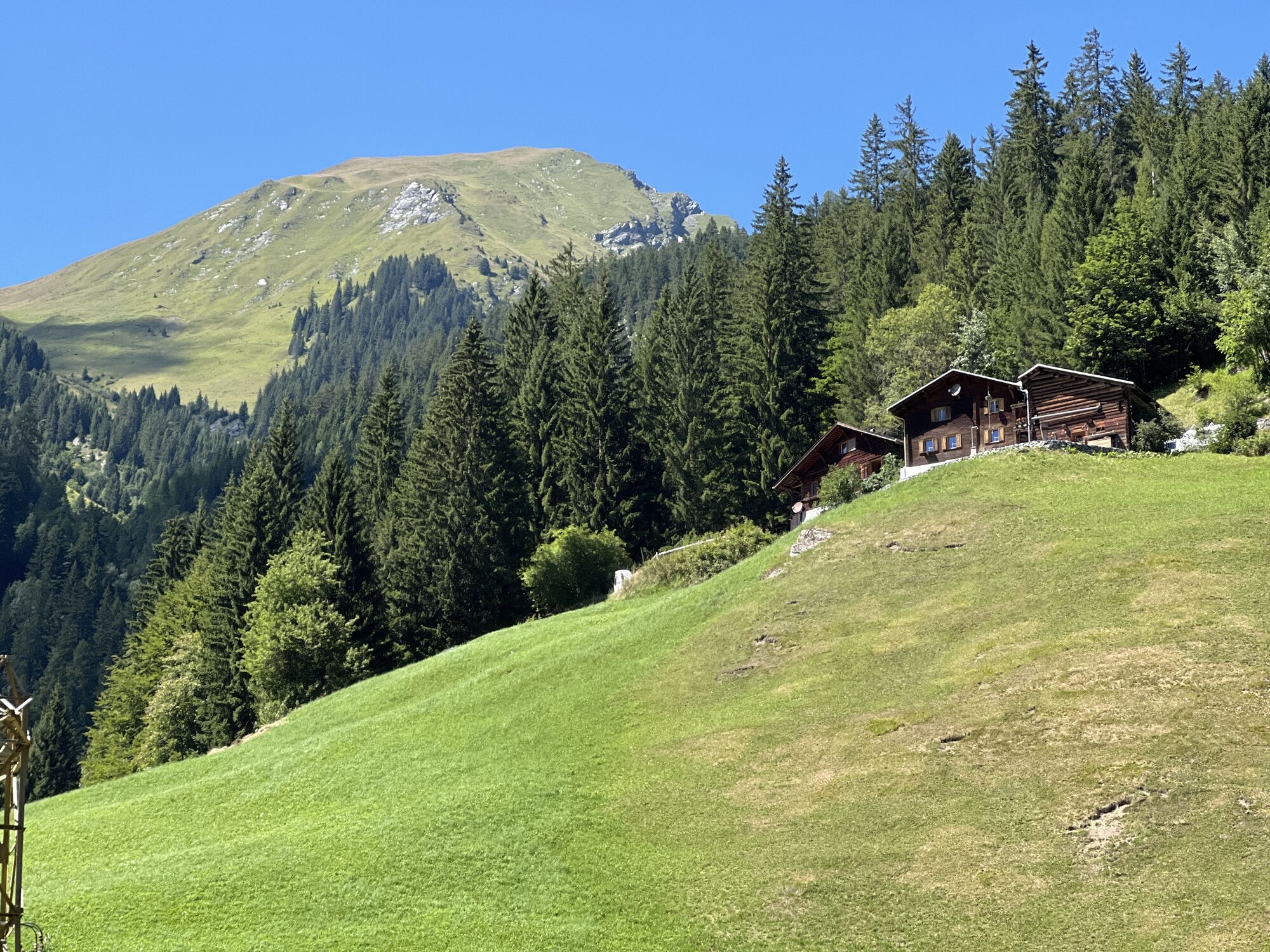
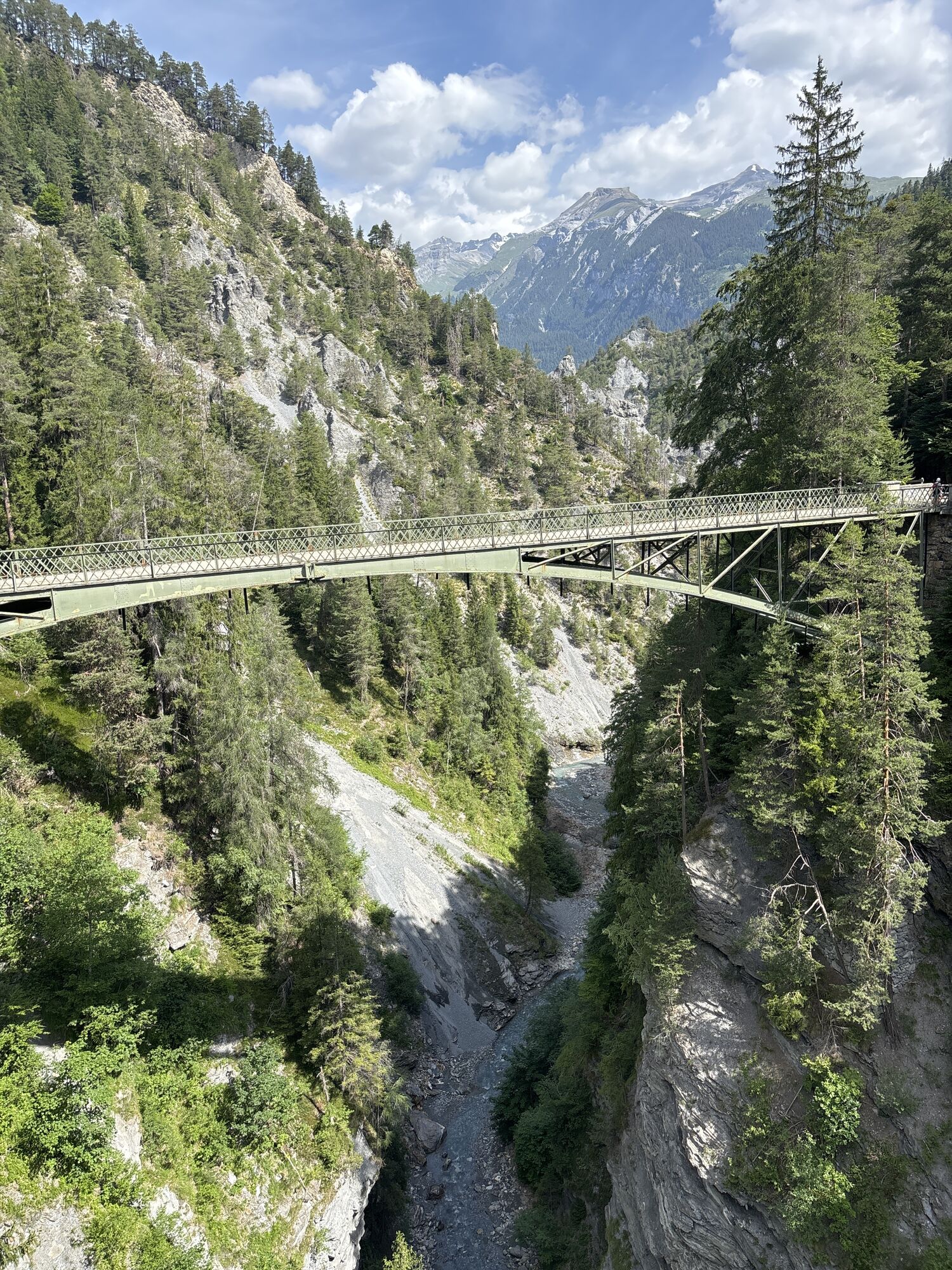
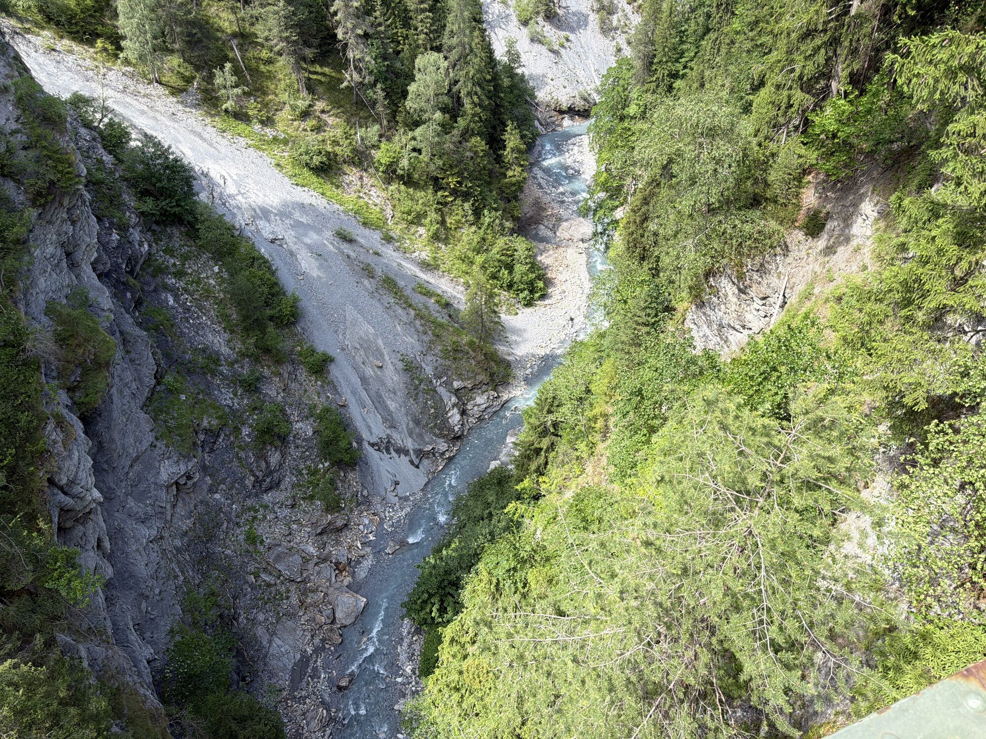
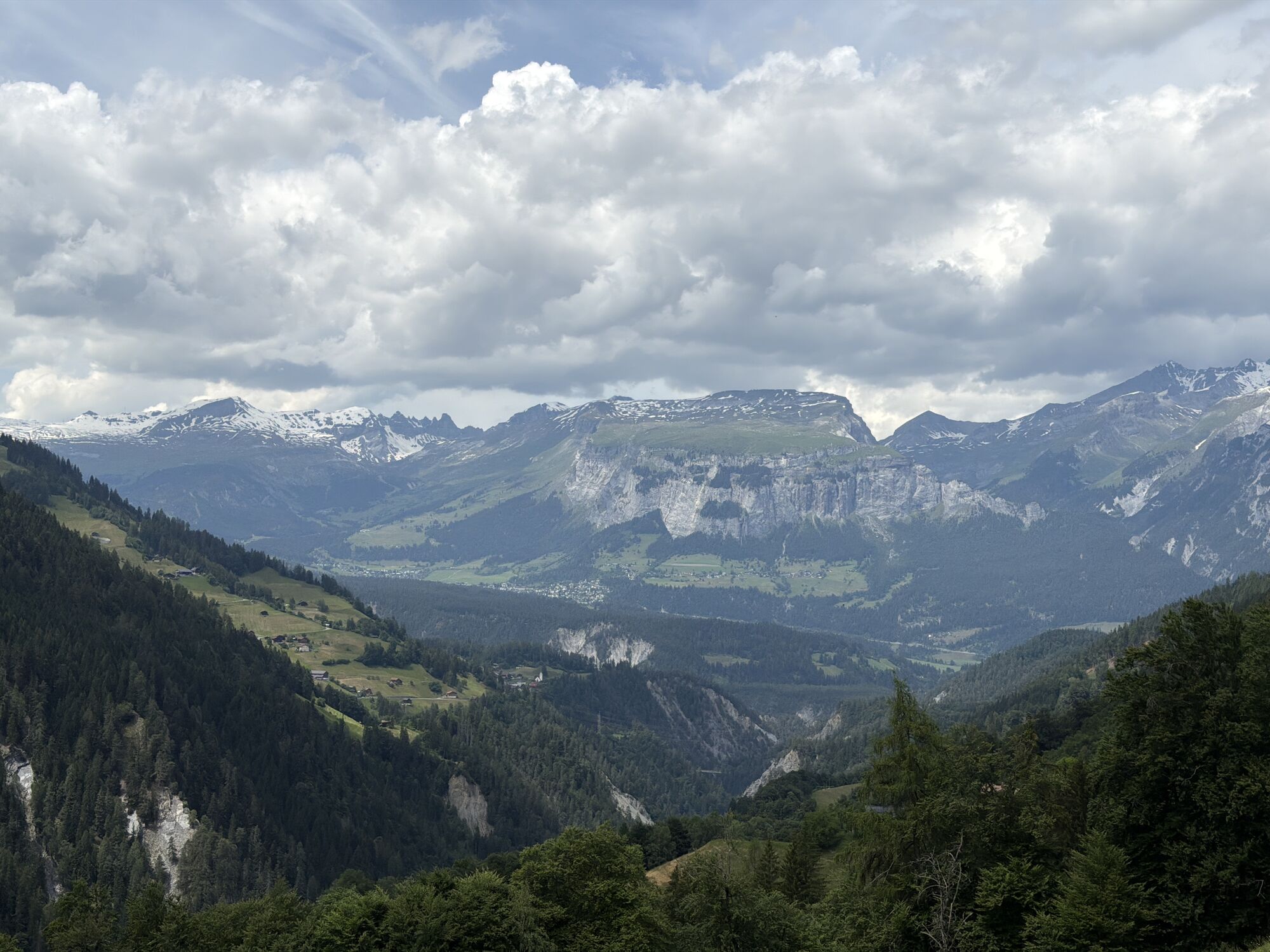
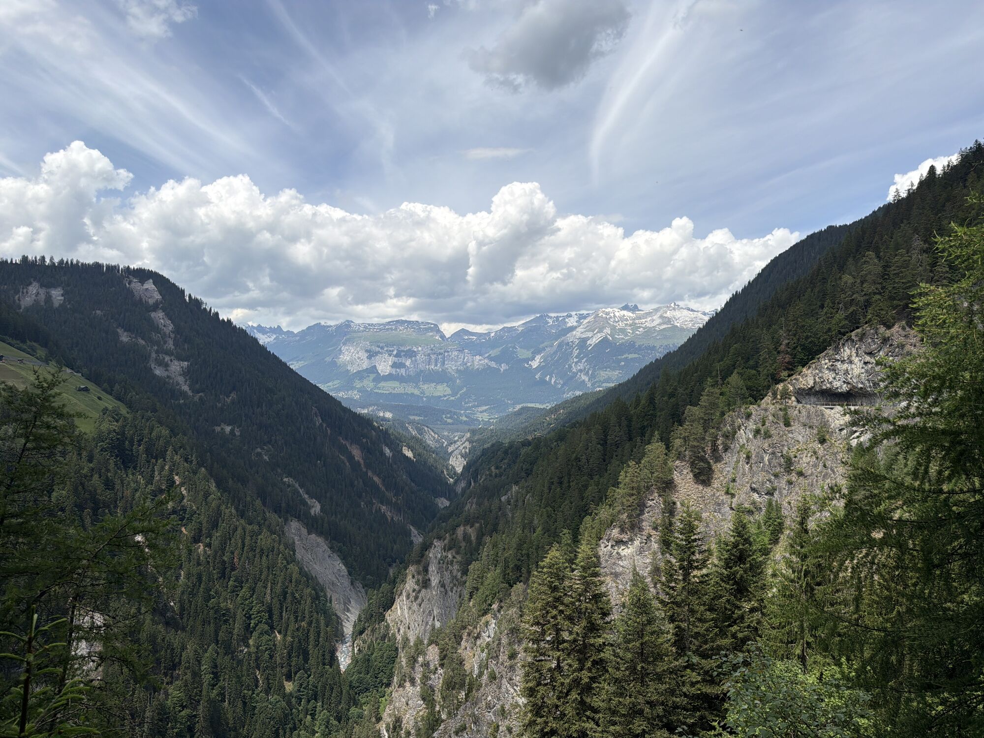
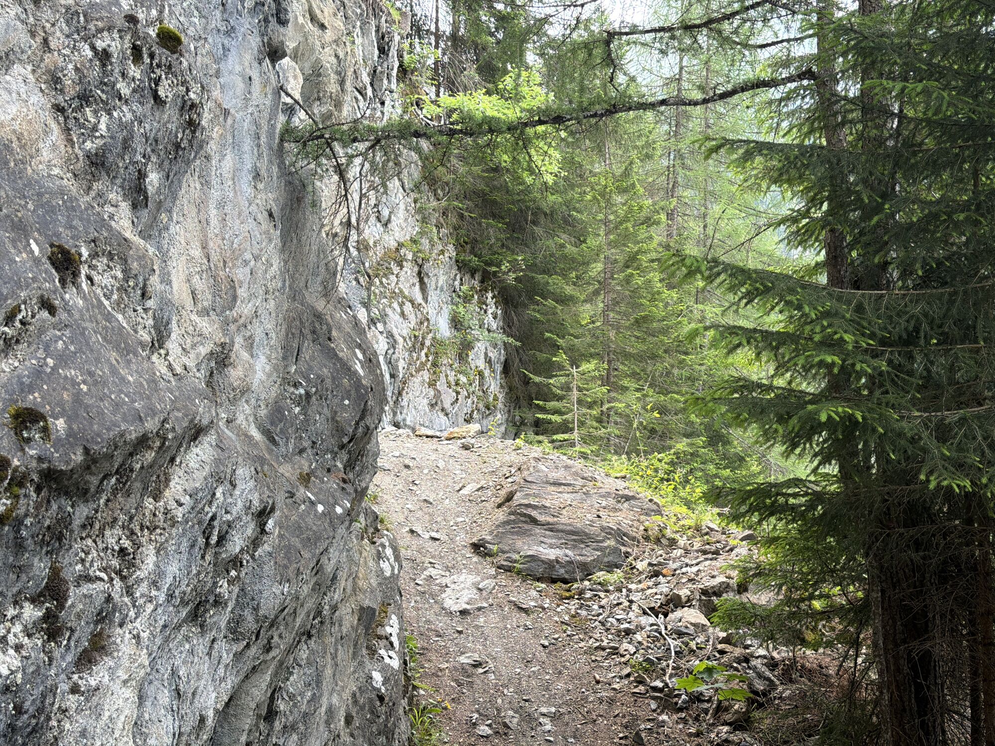
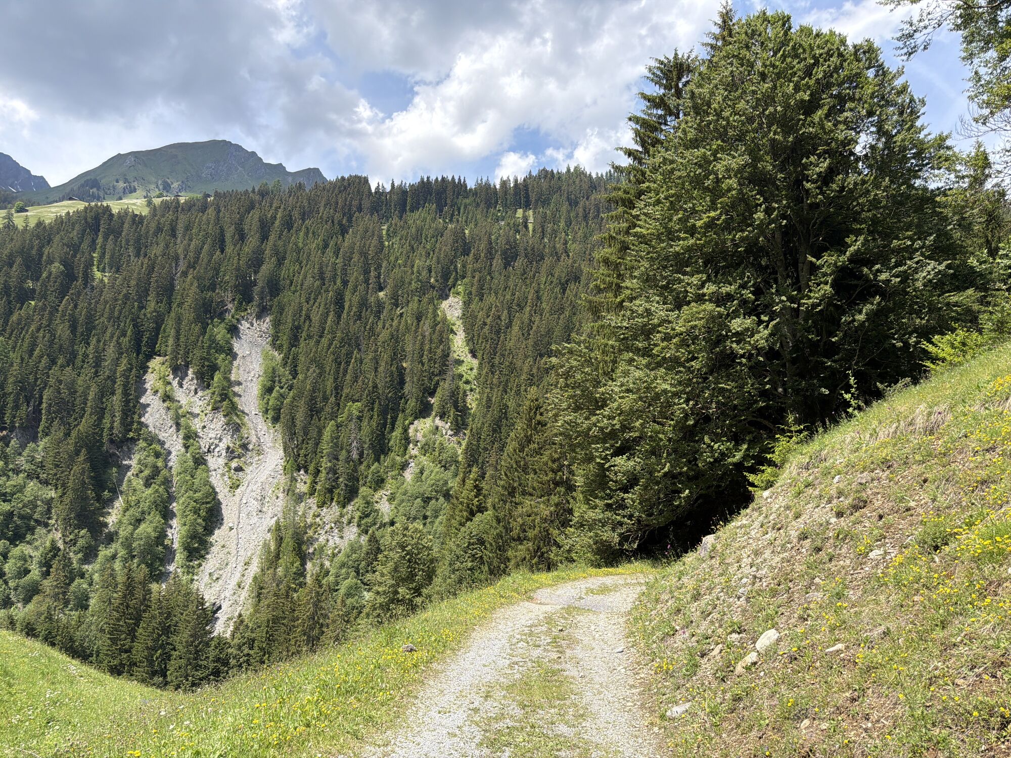
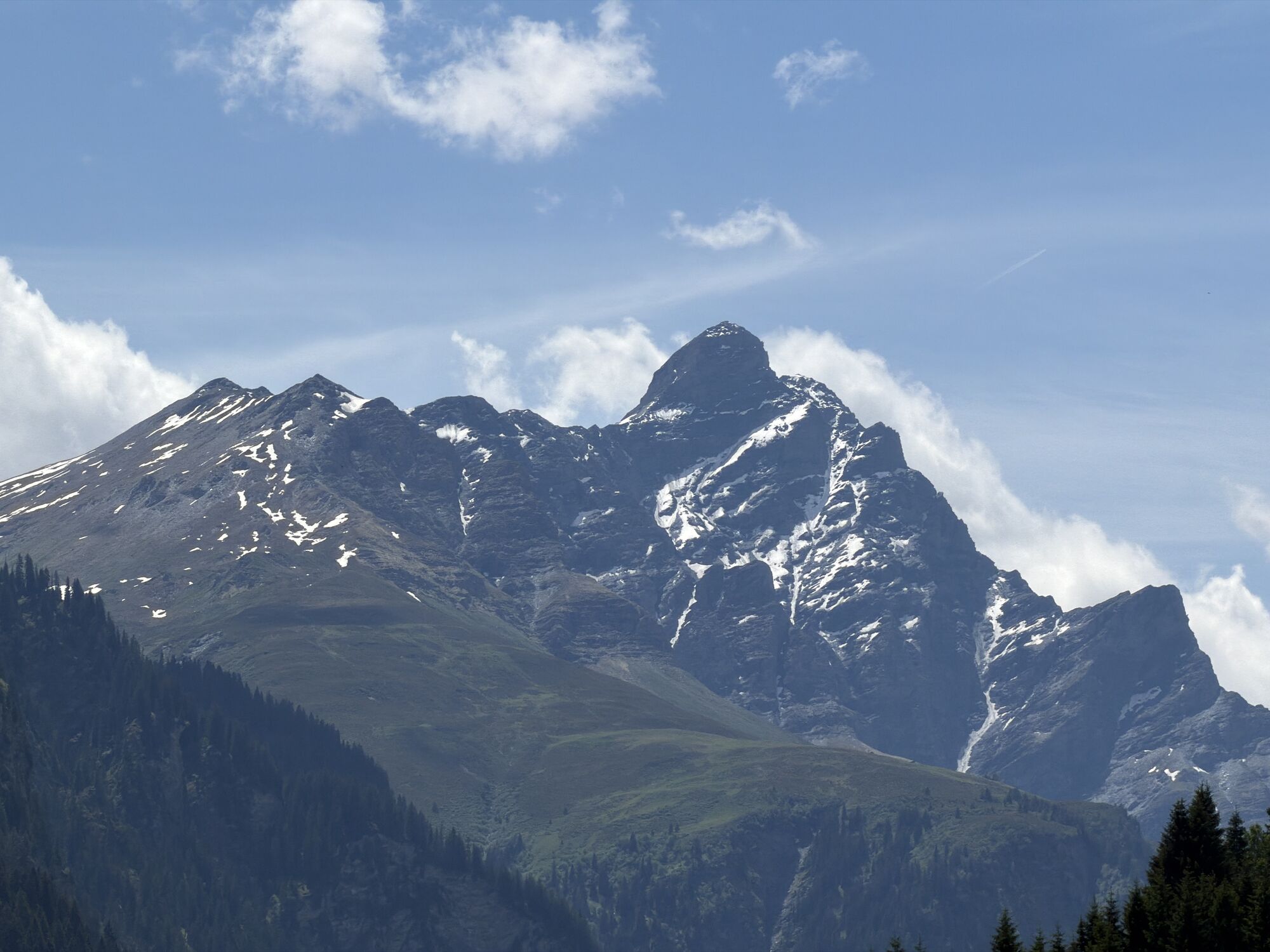
From the Carfil post bus stop you hike to the compensation basin of Lake Egschi. You cross the dam and reach the right side of the valley, where a romantic path leads through forest areas (part of a 365...
From the Carfil post bus stop you hike to the compensation basin of Lake Egschi. You cross the dam and reach the right side of the valley, where a romantic path leads through forest areas (part of a 365 ha large forest reserve) and gorges high above the Rabiusa to the scattered farms of Sculms. (Attention: Crossing the side ravines may be difficult after storms.) You then follow a small road towards Bonaduzerhöhe/Sil Ault. From there you descend via the footpath to the Versamer gorge. You cross the gorge over the impressive old bridge. Shortly after the bridge, the hiking trail leaves the road. You follow the hiking trail via Versam Unterhof to Versam village.
See also
Safiental Tourism
CH-7104 Versam
Tel. 0041 81 630 60 16
Email: info@safiental.ch
Internet: www.safiental.ch
Also worth seeing is the church of Versam.

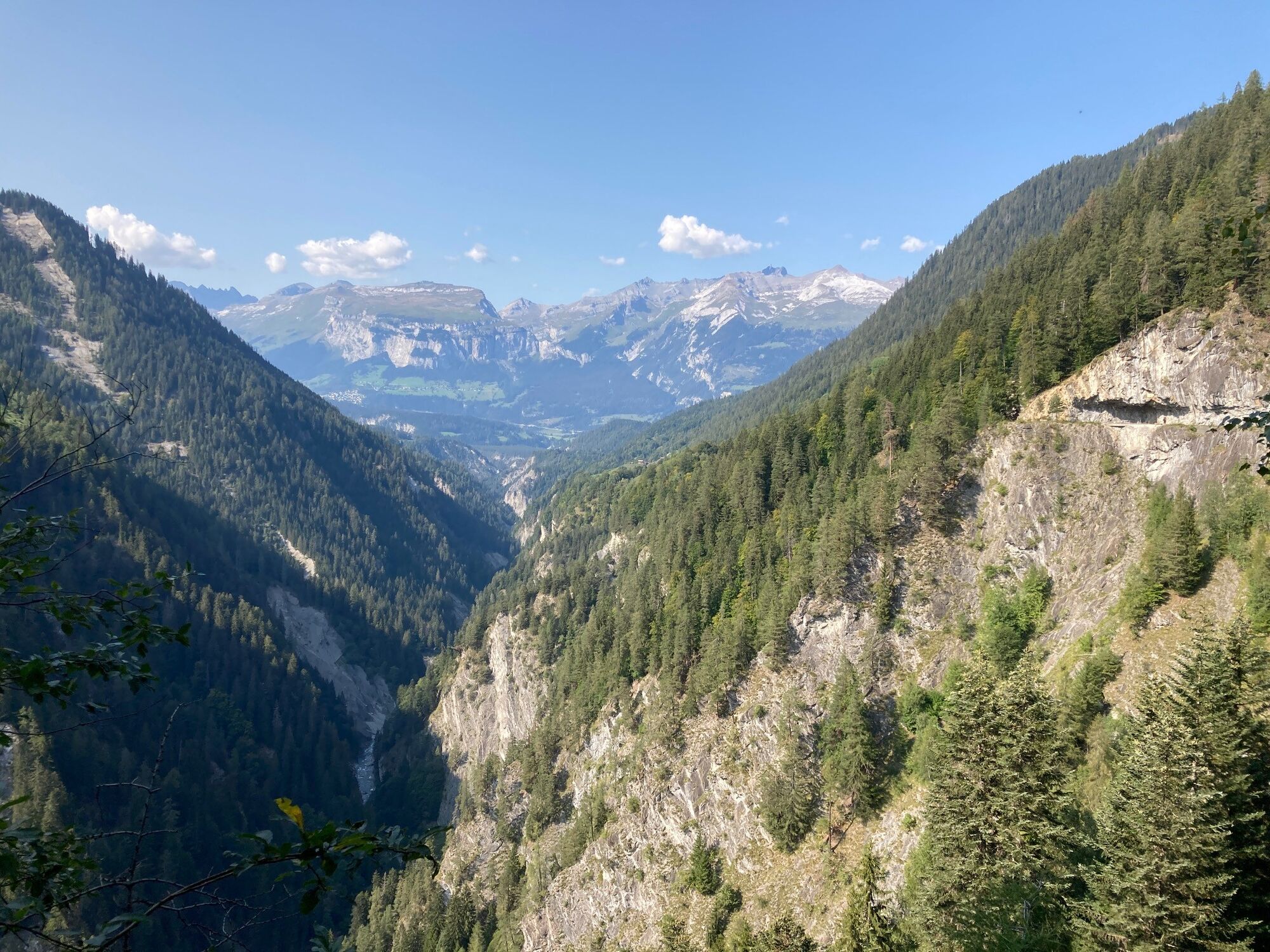
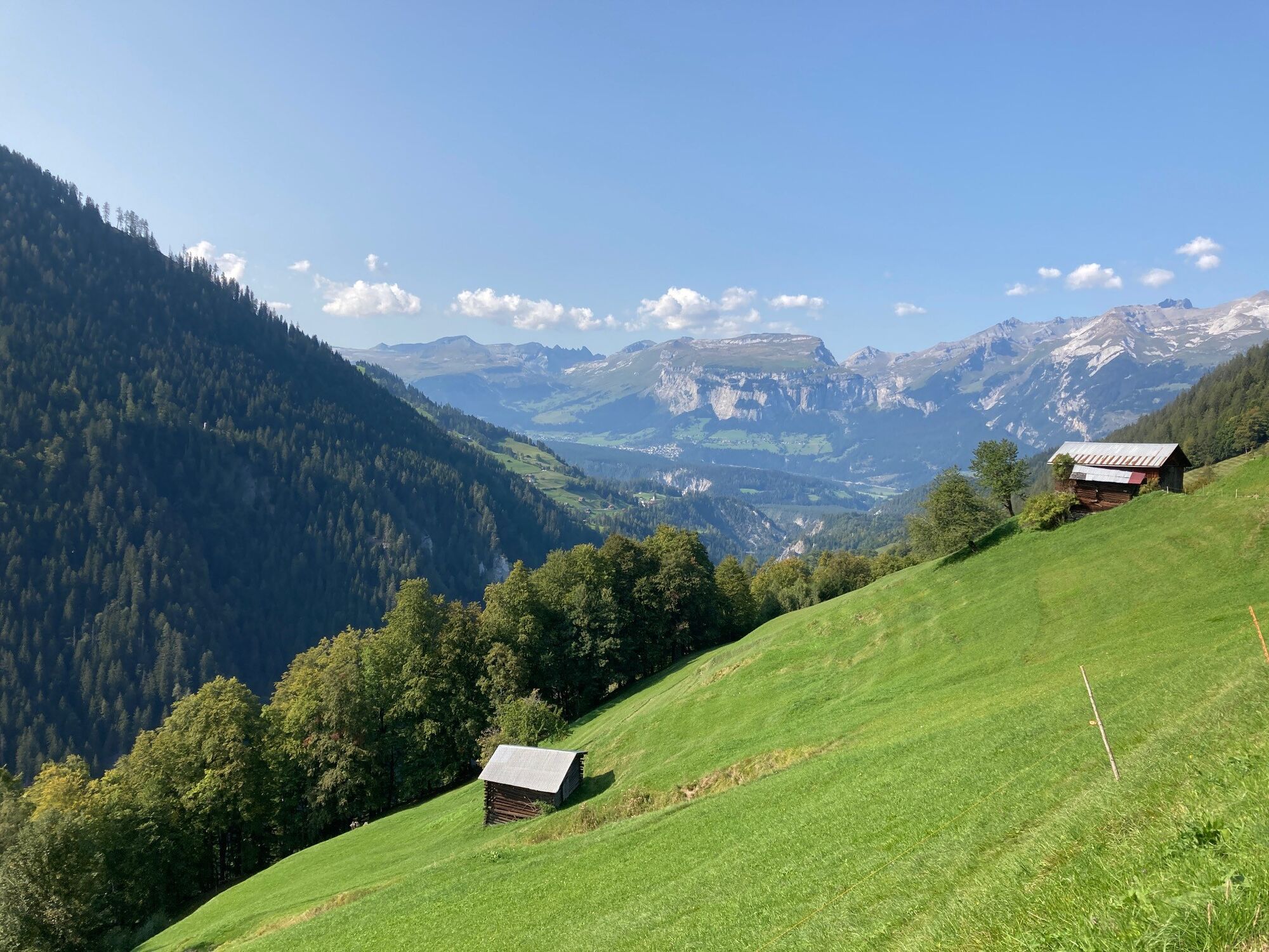
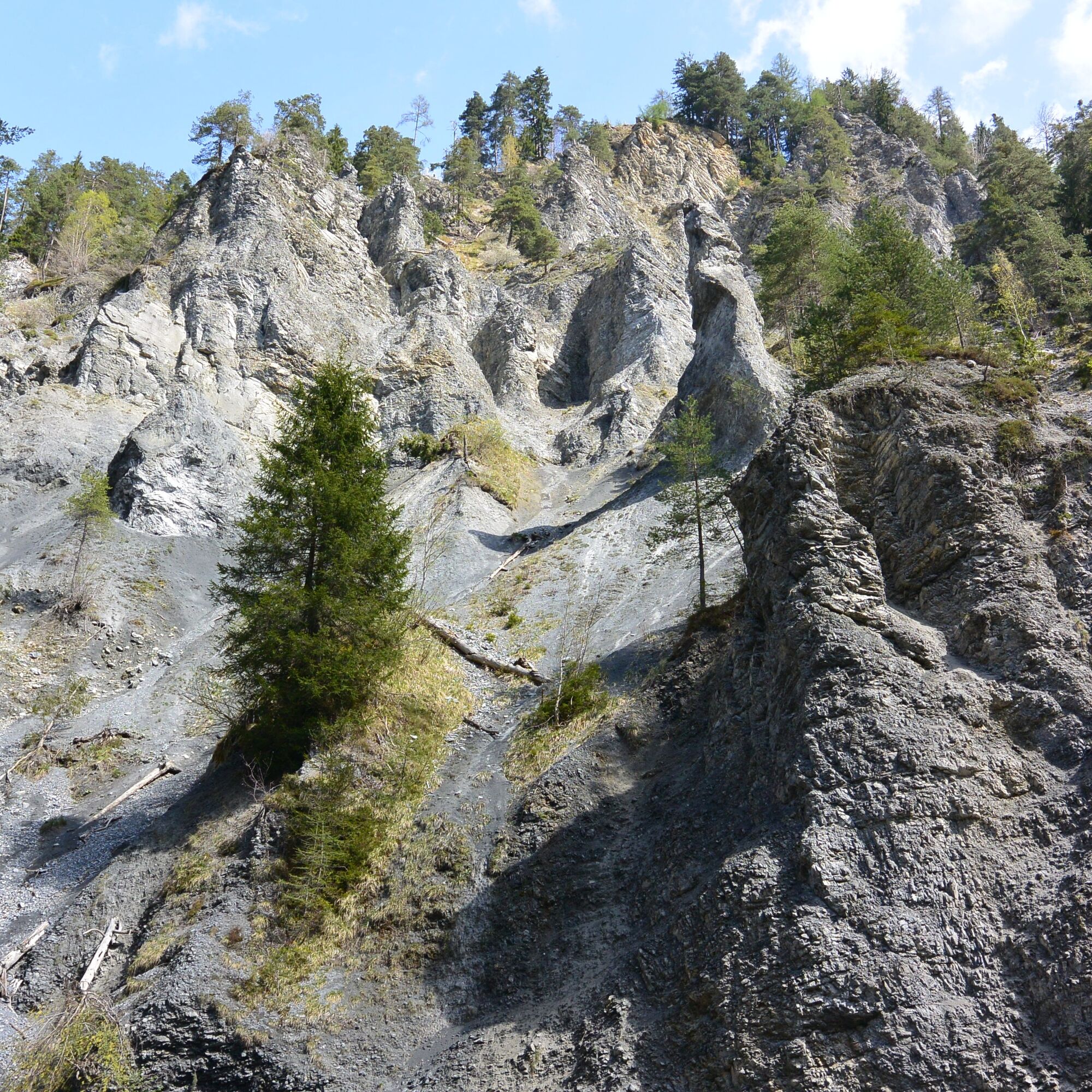
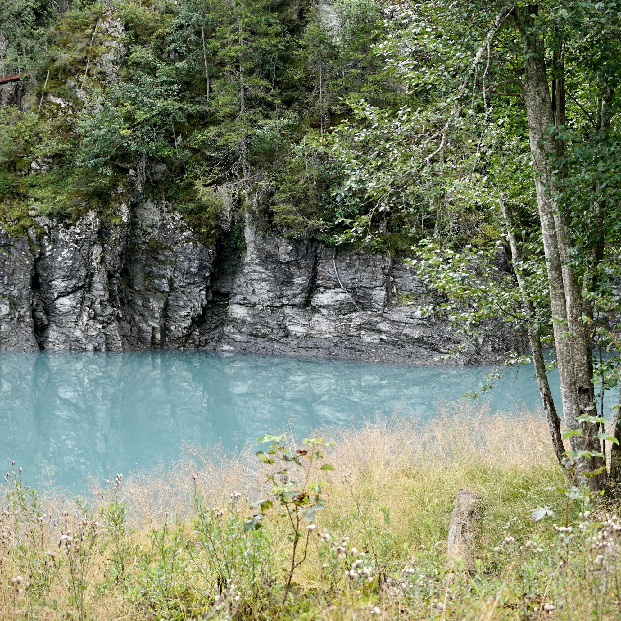

Carfil - Forest - Usser Salatobel - Geisstobel - Innerhof - Vorderhof - Sigl Ault - Versam
Good hiking shoes with a good tread, weather-appropriate clothing (rain jacket/sunscreen), change of clothes, first aid kit, drink, food, possibly hiking poles.
In case of uncertain weather conditions, the route should not be started. Weather changes are frequent in the mountains. If a rain front or similar approaches during the hike, you should turn back in time.
From Ilanz or Bonaduz to Versam village and by post bus as described above.
Getting there: By train to Versam-Safien and then by post bus to Safien, Carfil. Return: From Versam village again by post bus to Versam-Safien station.
Park between Versam-Safien station and Versam village at Versam Islabord, then continue by post bus.
T1
Food and accommodation:
Village shop Versam, www.dorfladen-versam.ch Inn Rössli, 7104 Versam, Tel. 0041 645 11 13 Self-service shop BakedicakediKamery internetowe z trasy
Uzyskaj wgląd
Zawsze na żywo z ponad 9 500 kamer internetowych. bergfex Jako użytkownik Pro, możesz teraz zobaczyć odpowiednie kamery internetowe dla wielu wycieczek w aplikacji wycieczki od. Pozwala to na bezpośredni podgląd aktualnych warunków.
Popularne wycieczki w okolicy
-
4,4
4-lake hike: Caumasee - Crestasee - Felsbach Gorge
średniWędrówka 12,8 km -
4,8
Rheinschlucht: From Ilanz to Versam into the heart of the Rheinschlucht
średniWędrówka 11,4 km -
4,8
Rhine Gorge Hike: Senda Ruinaulta (659)
światłoWędrówka 9,39 km -
4,8
Mountain hike to the Strudeltöpfe on Alp Mora: Bargis-Trin
ciężkiWędrówka 18 km -
4,7
The Water Trail: Trutg dil Flem 764
ciężkiTrasa tematyczna 8,56 km -
5,0
Caumasee tour: Flims - Caumasee - Conn - Flims
światłoWędrówka 7,94 km -
4,3
Historic Pinut via ferrata
średniVia ferrata 5,82 km -
5,0
Lower Segnesboden: Nagens Sura - Lower Segnesboden - Segnes hut - Alp Nagens
średniWędrówka 6,66 km -
4,3
Circular hike: Falera-Curnius-Alp Dadens-Falera
średniWędrówka 11,4 km -
5,0
Rhine Gorge Circular Hike
średniWędrówka 11,4 km
Wędrówki i tropienie


Nie przegap ofert i inspiracji na następne wakacje
Twój adres e-mail została dodana do listy mailingowej.





