







Adventure «Parc La Mutta»
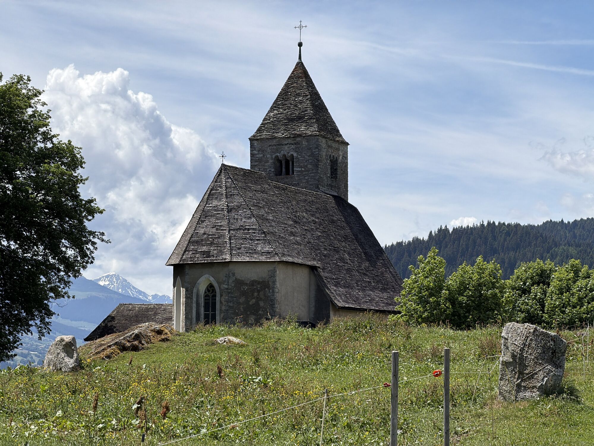
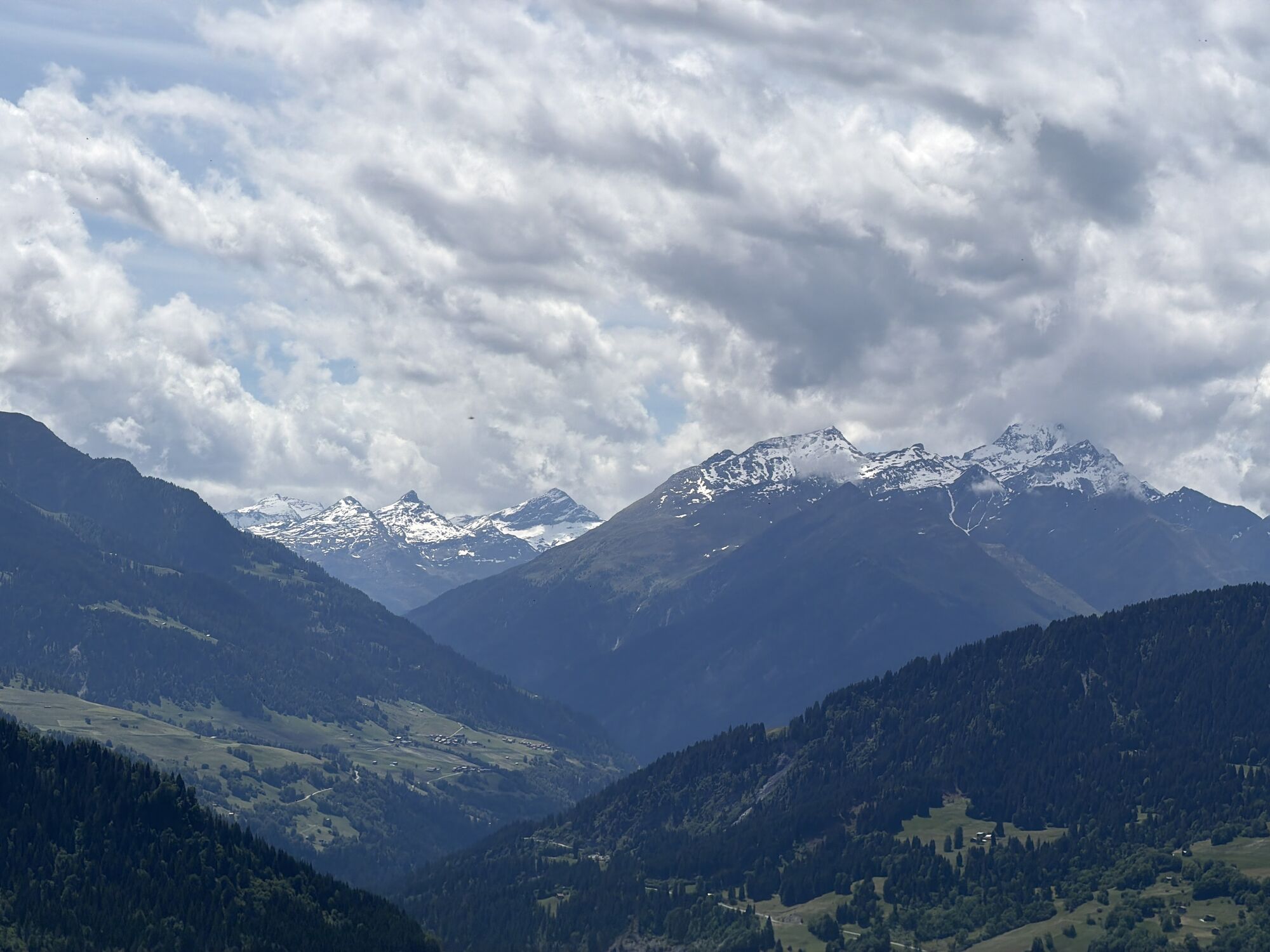
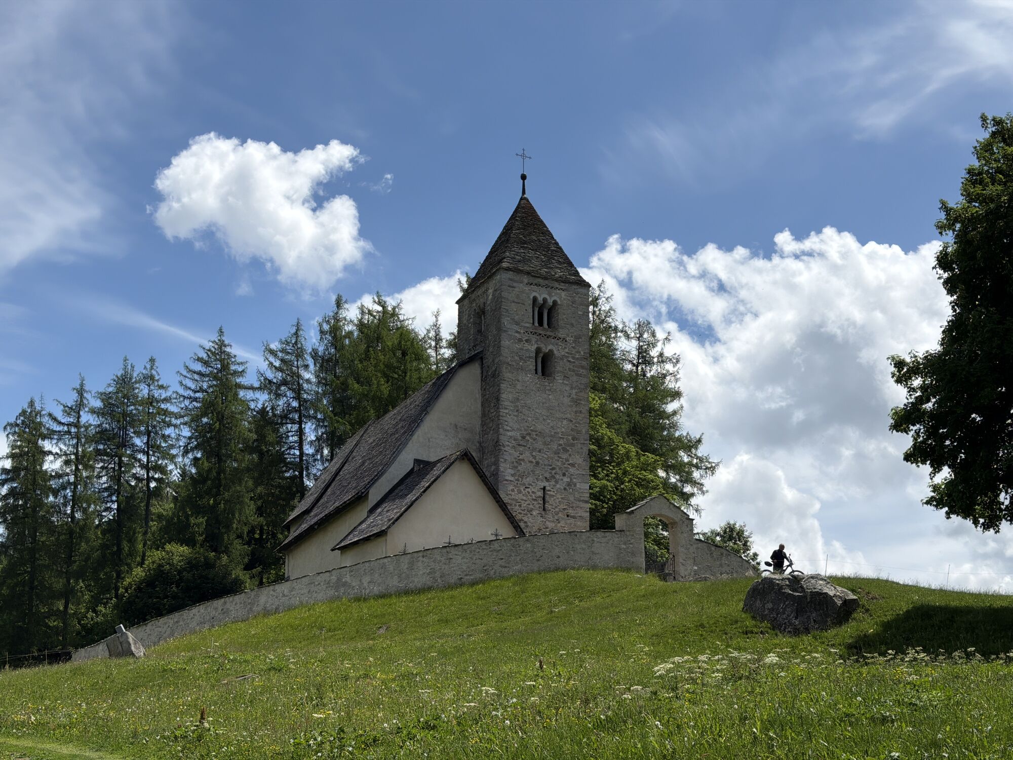
The place as a historical centre and cultural site between mysticism and science (inclusion of cultural-historical considerations, astronomy and archaeology).
Content:
The focus is on the reflective communication...
Content:
The focus is on the reflective communication and presentation of existing knowledge from scientific research and by means of proven sources. What is known, what is conjecture? Visitors to the menhir site in Falera receive site-related information on the various shell stones & stone engravings and are given knowledge-based insights into the origins of the megalithic cult site. The cultural-historical significance of the site and its embedding in the region is to be made aware.
Formats:
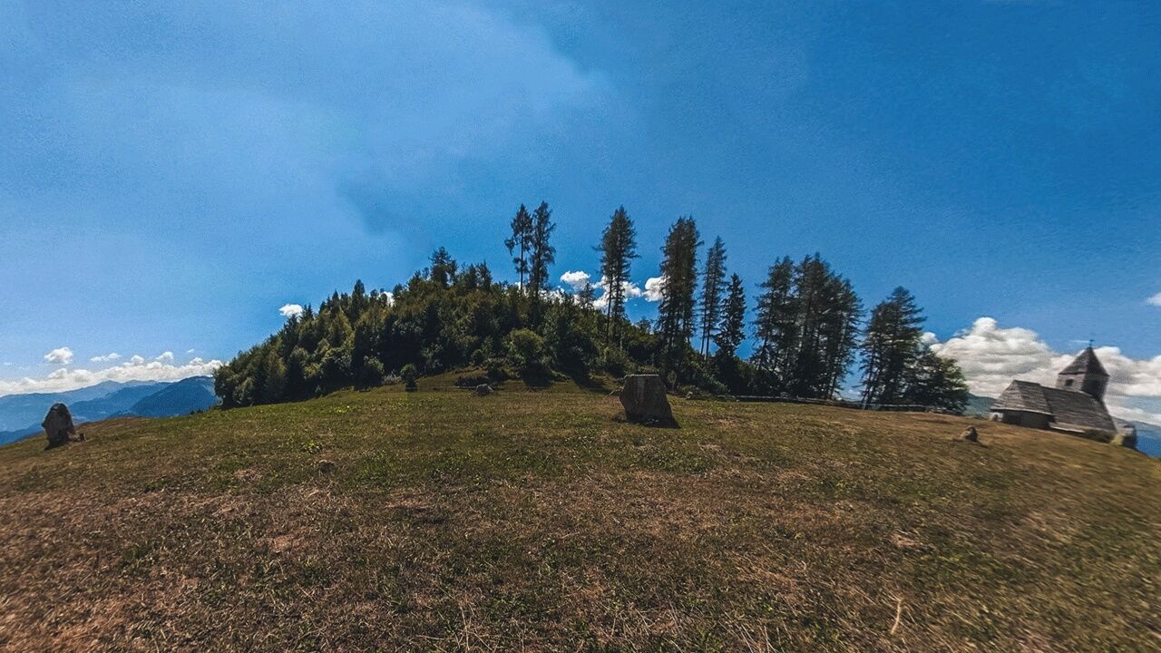
Image & text combinations in the image carousel for narrative explanation; illustrations and graphics for reconstructed representation of Bronze Age life and settlements; drone photography for mediating representation of the stone settings from a bird's eye view, 360° photography with information visualisations (alignments).
TIPS Safety & Equipment
Surefootedness is required on the white-red-white marked trail.
Important tips - the sometimes steep terrain requires caution
- Always supervise children
- Only accessible in the snow
- and ice-free season
- Do not leave the mountain trail Equipment
- sturdy hiking boots
- rain protection
Use of the trail is at your own risk.
Insurance cover is the responsibility of each individual.


 Uzyskaj wgląd
Zawsze na żywo z ponad 9 500 kamer internetowych. bergfex Jako użytkownik Pro, możesz teraz zobaczyć odpowiednie kamery internetowe dla wielu wycieczek w aplikacji wycieczki od. Pozwala to na bezpośredni podgląd aktualnych warunków.
Uzyskaj wgląd
Zawsze na żywo z ponad 9 500 kamer internetowych. bergfex Jako użytkownik Pro, możesz teraz zobaczyć odpowiednie kamery internetowe dla wielu wycieczek w aplikacji wycieczki od. Pozwala to na bezpośredni podgląd aktualnych warunków.
Popularne wycieczki w okolicy
-
4,4
4-lake hike: Caumasee - Crestasee - Felsbach Gorge
średniWędrówka 12,8 km -
4,8
Rheinschlucht: From Ilanz to Versam into the heart of the Rheinschlucht
średniWędrówka 11,4 km -
4,8
Rhine Gorge Hike: Senda Ruinaulta (659)
światłoWędrówka 9,39 km -
4,8
Mountain hike to the Strudeltöpfe on Alp Mora: Bargis-Trin
ciężkiWędrówka 18 km -
4,7
The Water Trail: Trutg dil Flem 764
ciężkiTrasa tematyczna 8,56 km -
5,0
Caumasee tour: Flims - Caumasee - Conn - Flims
światłoWędrówka 7,94 km -
5,0
Lower Segnesboden: Nagens Sura - Lower Segnesboden - Segnes hut - Alp Nagens
średniWędrówka 6,66 km -
4,3
Historic Pinut via ferrata
średniVia ferrata 5,82 km -
4,3
Circular hike: Falera-Curnius-Alp Dadens-Falera
średniWędrówka 11,4 km -
5,0
Rhine Gorge Circular Hike
średniWędrówka 11,4 km
Wędrówki i tropienie


Nie przegap ofert i inspiracji na następne wakacje
Twój adres e-mail została dodana do listy mailingowej.





