






Signposted snowshoe trail: Ladir
This snowshoe trail is signposted.
The circular tour starts at the Catholic parish church of St. Zeno in Ladir. From there, the marked trail leads across a meadow to the end of the village, where the cross-country...
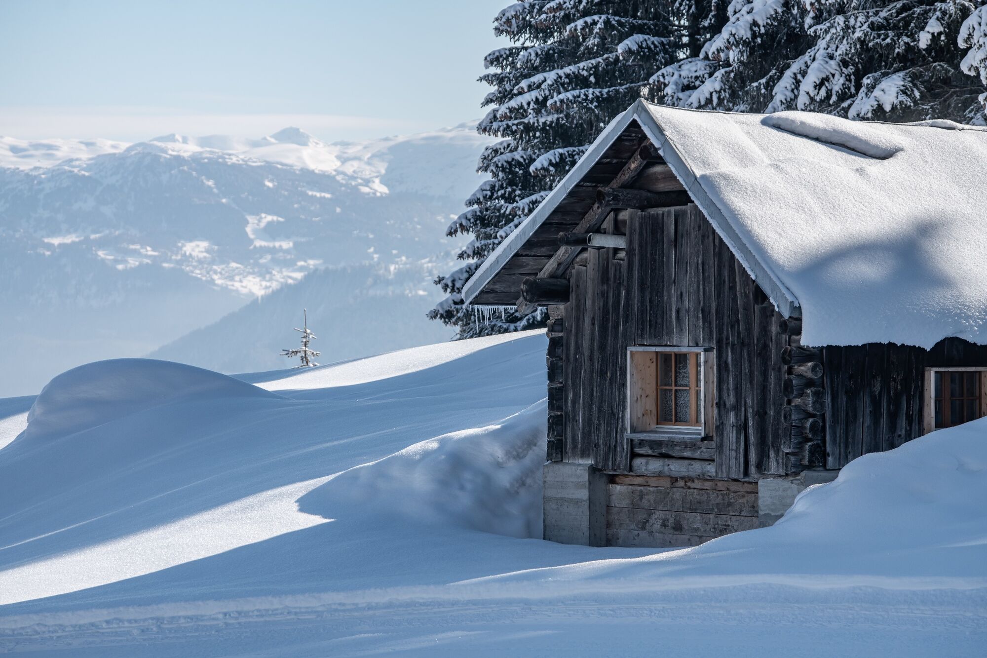
The circular tour starts at the Catholic parish church of St. Zeno in Ladir. From there, the marked trail leads across a meadow to the end of the village, where the cross-country ski trail is located. From here, it is advisable to follow the snowshoe trail in a clockwise direction. This means it goes off to the left across meadows and through woodland. The route offers regular ascents for enjoyable snowshoeing. There is only one steeper section on the descent. The highlight of this snowshoe trail is the Alp la Muota, which is in deep hibernation until the next alpine summer. Once you reach the top, you are greeted by a charming winter landscape. It offers tranquillity and an impressive panoramic view. The view of the Signina group with the Piz Fess or towards Val Lumnezia and Vals is impressive up here. From Alp la Muota, you finally return along the same route before following the continuing circular tour back towards Ladir. This snowshoe trail is quite snow-sure.

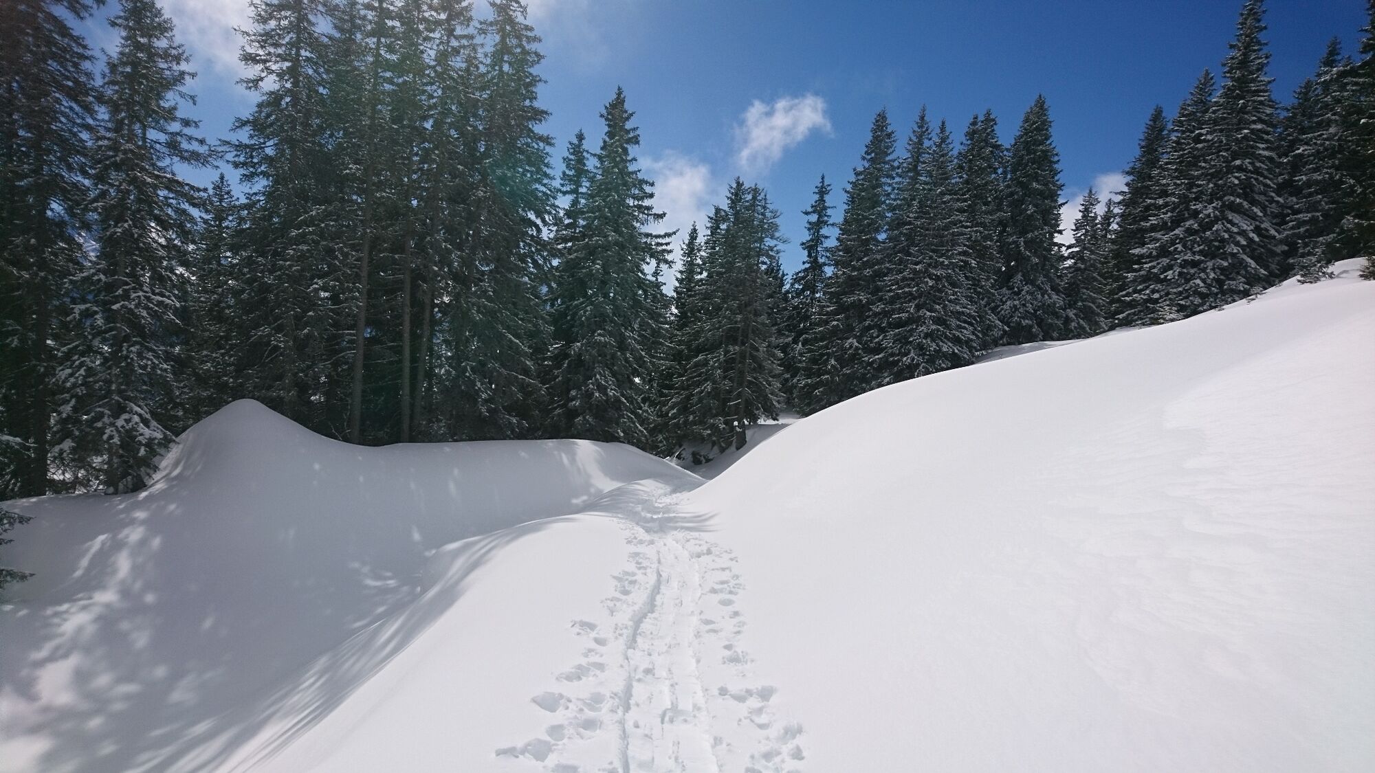
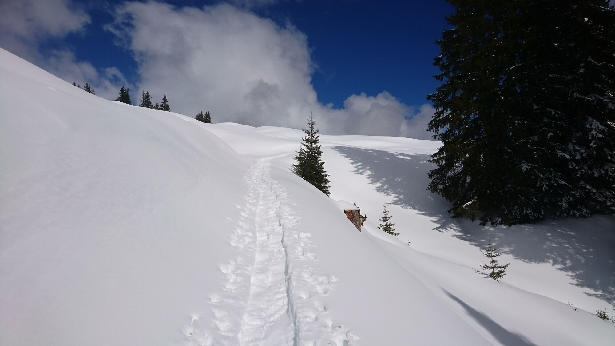
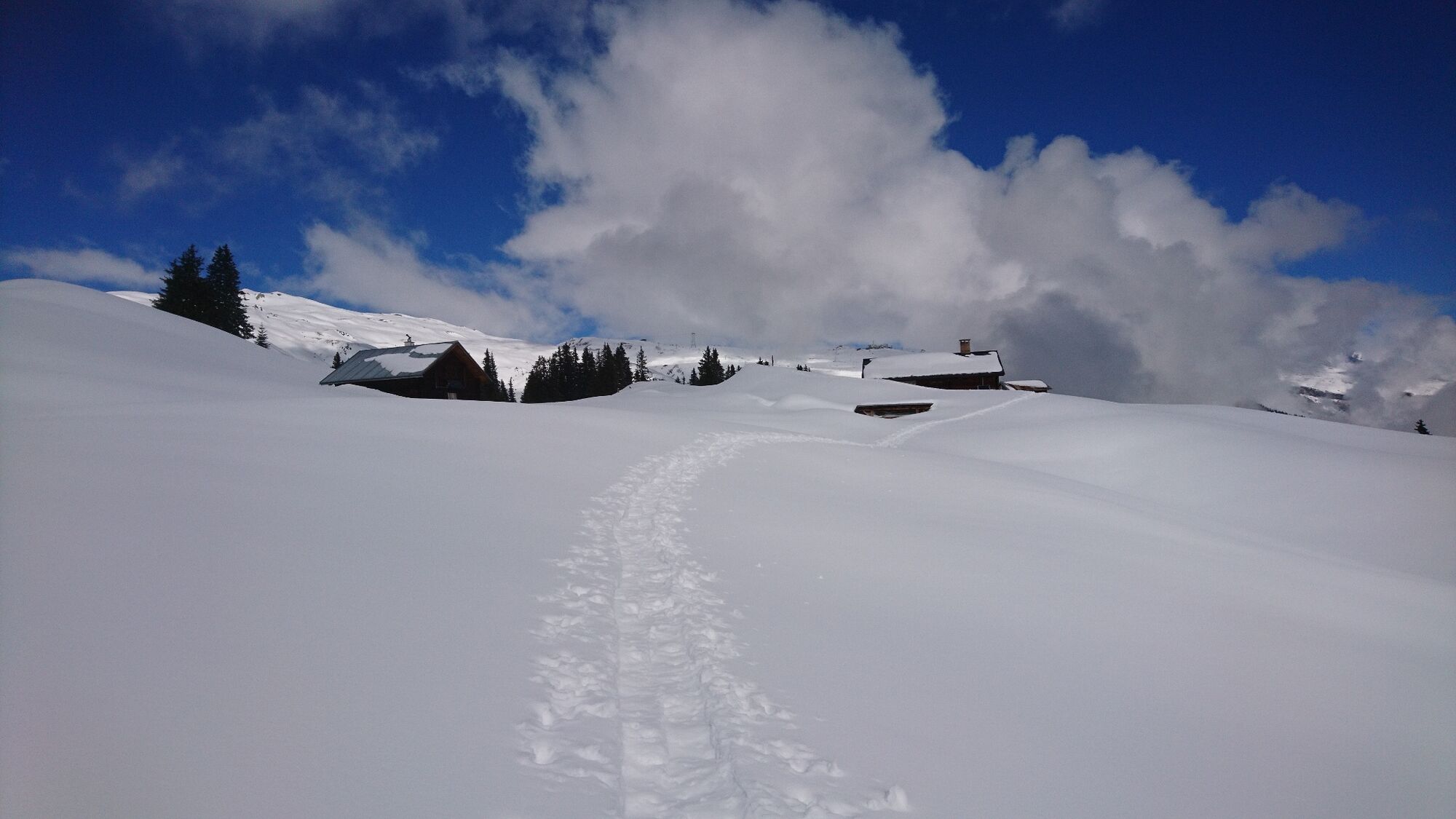
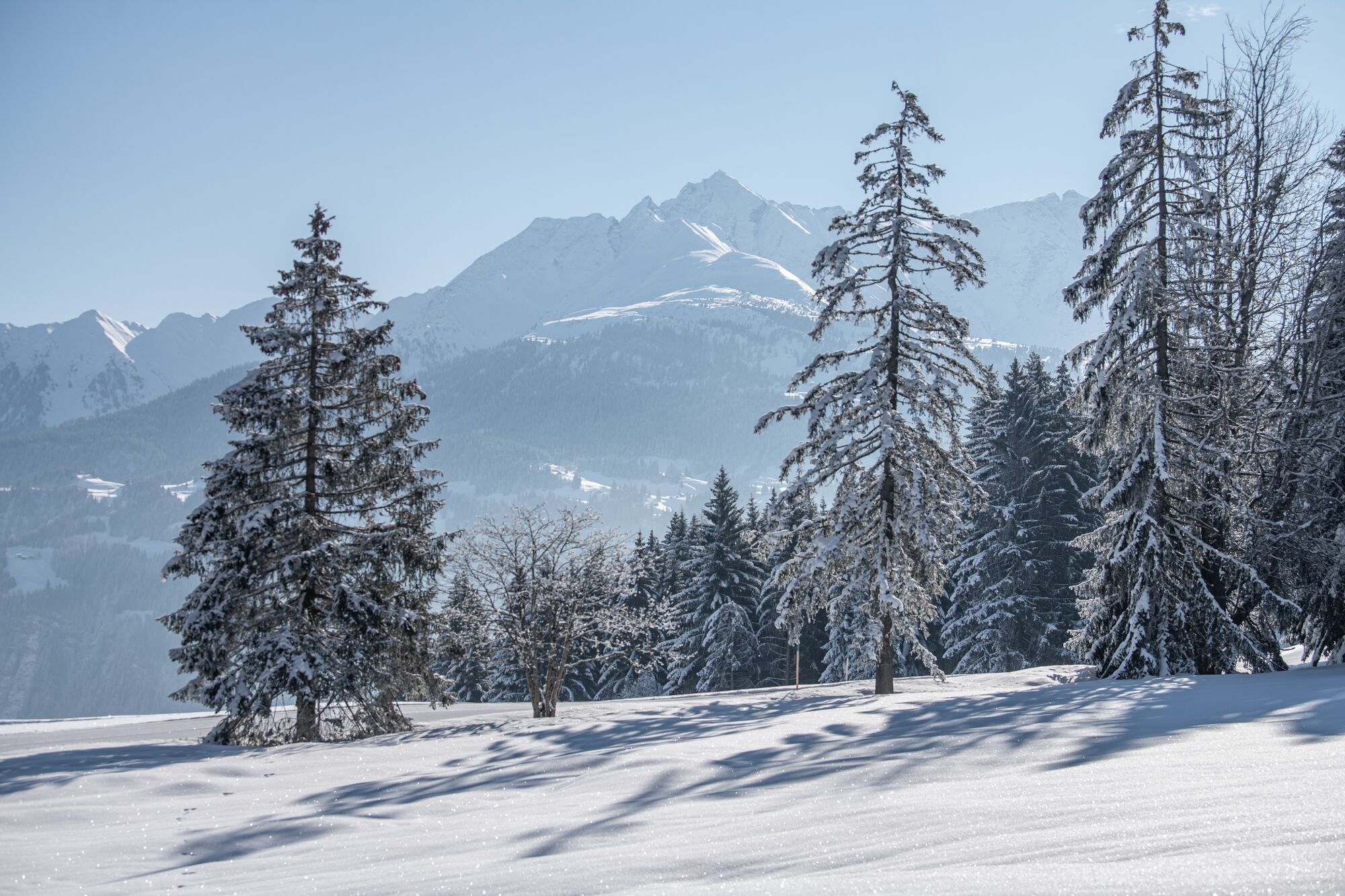
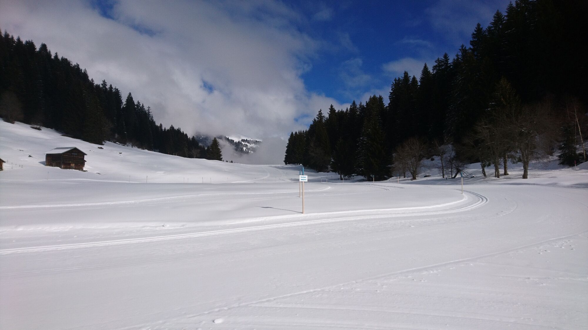


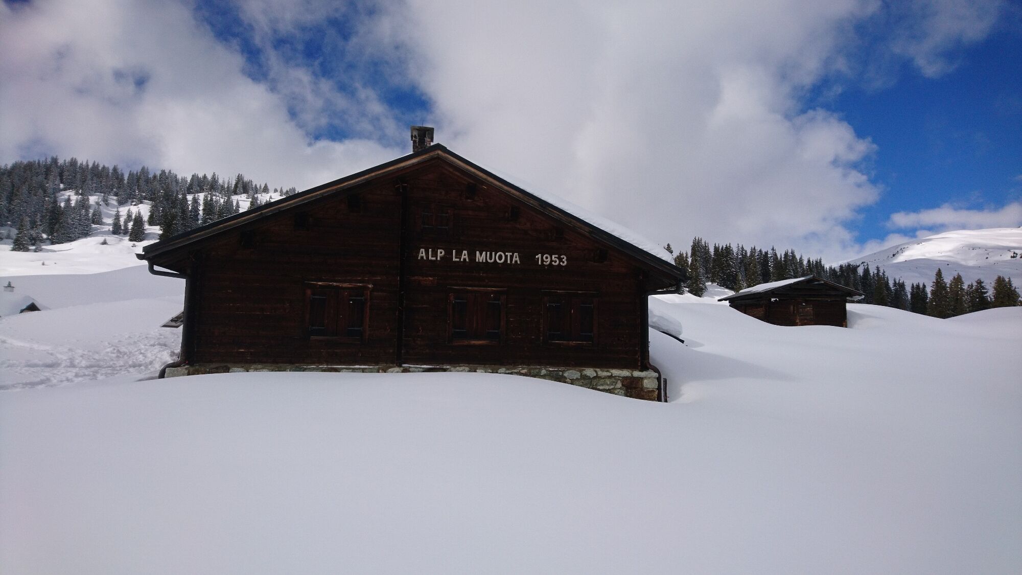
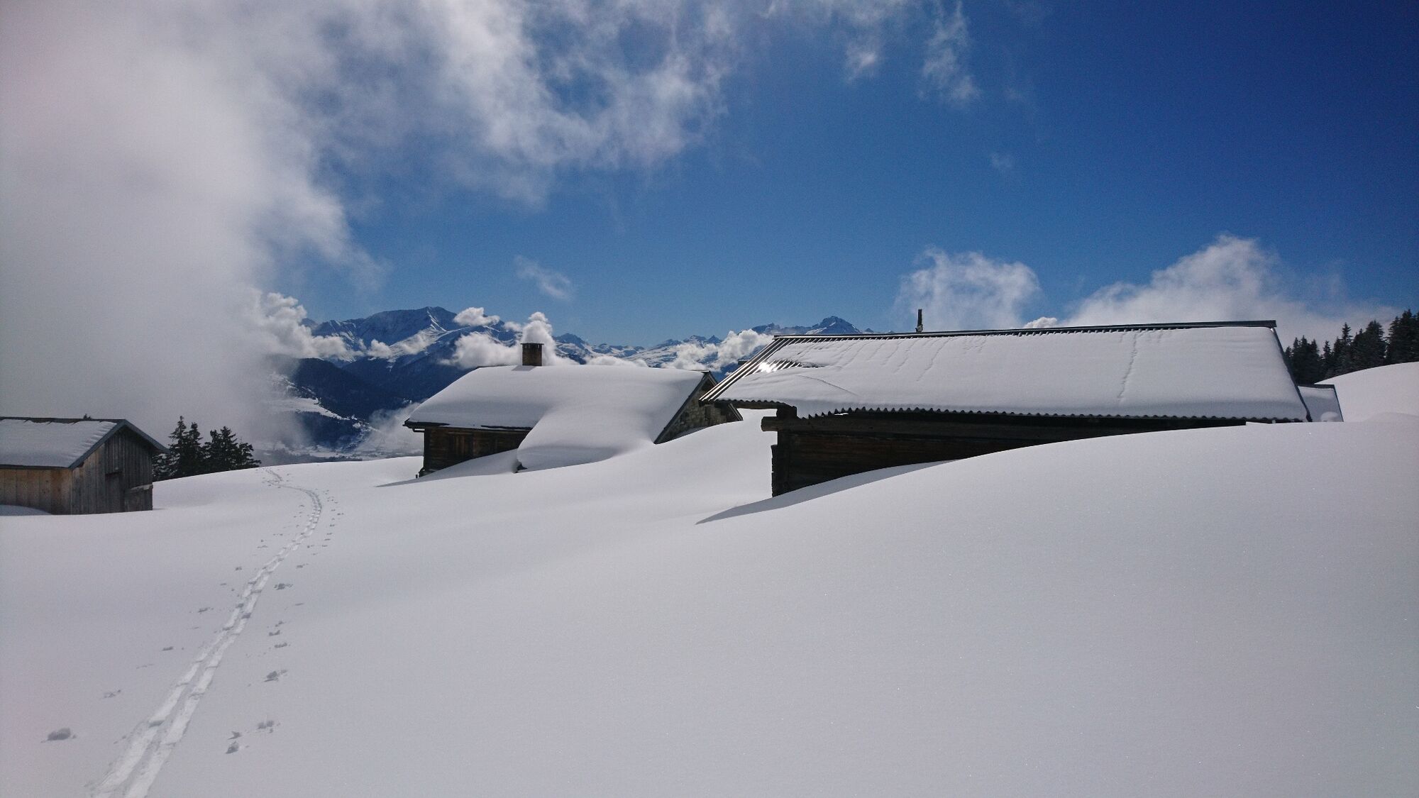


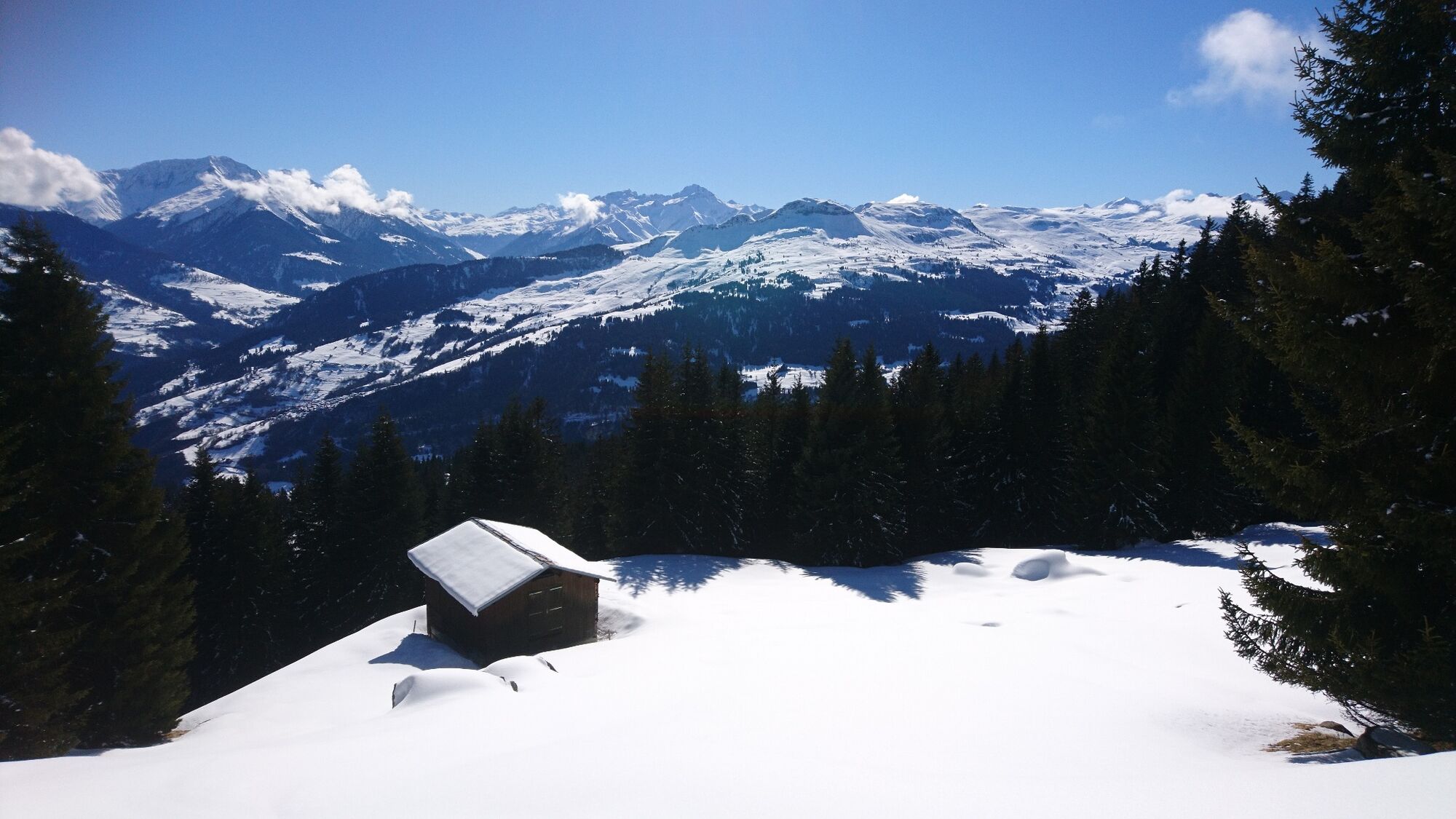
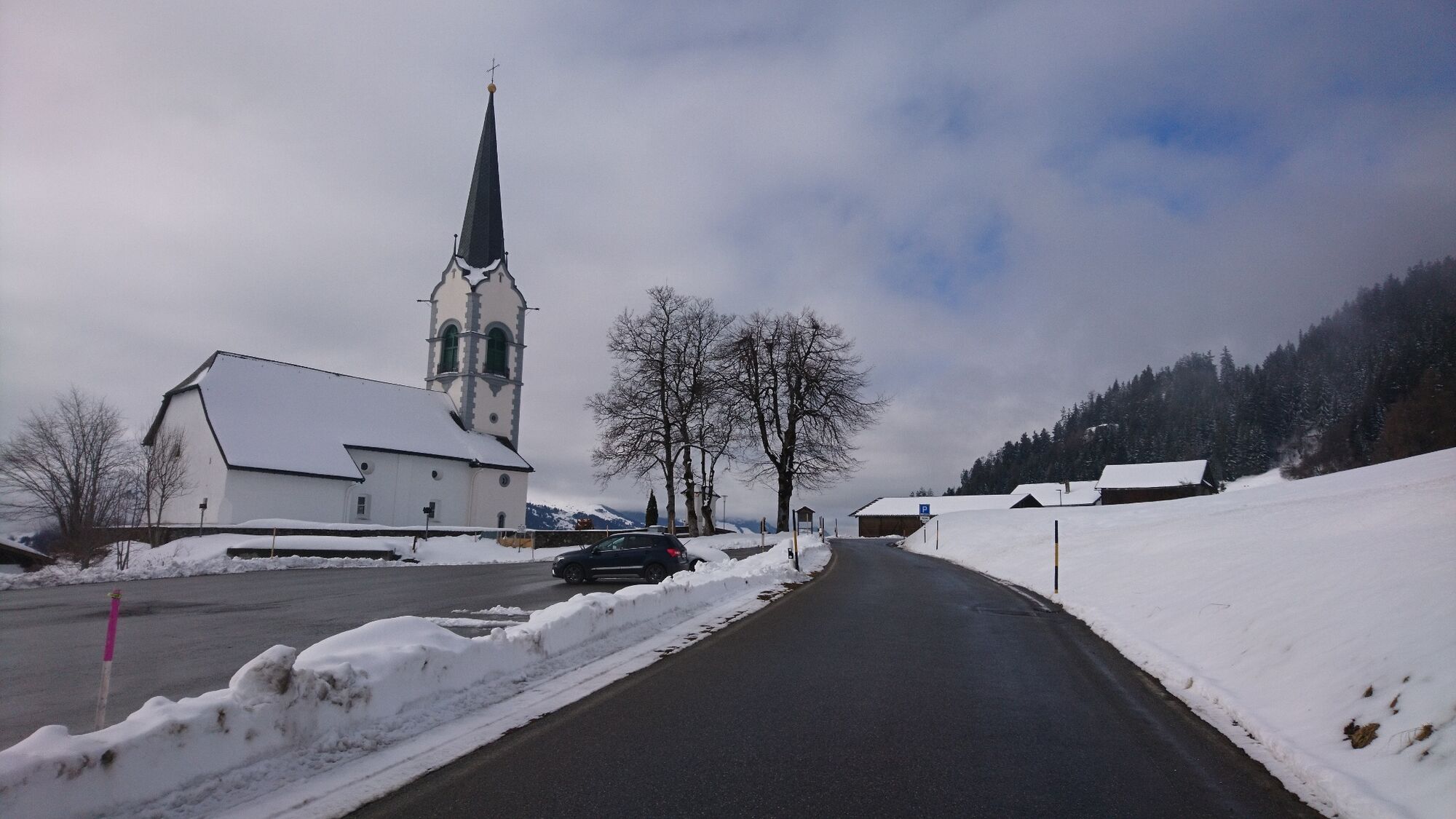

Church of St. Zeno, Ladir - Crusch - Cuolms da Ruschein - Alp Muota - Gandatscha - Darpiuns - church of St. Zeno
Also recommended for signalized trails: avalanche equipment
This marked tour runs in predominantly safe terrain. However, we strongly advise against undertaking the tour if there is a risk of avalanches. It is always necessary to carry avalanche equipment in unsecured terrain.
We recommend using the WhiteRiskapp and website to prepare and plan your tour.
For carefree enjoyment, we recommend our mountain guides and snowshoe hiking guides in the Surselva.
Von Chur her fährt man über Flims und Laax in Richtung Ilanz. Ausgangs Ilanz geht eine Strasse rechts weg nach Ruschein und weiter bis nach Ladir. Der Parkplatz befindet sich bei der Kirche in Ladir. Dort startet die Schneeschuhtour.
Ab Chur fährt die Rhätische Bahn im Stundentakt nach Ilanz. Ab dem Bahnhof Ilanz fährt das Postauto in Richtung Ladir. In Ladir verlässt man das Postauto bei der Haltestelle Ladir, vitg.
Grosser Parkplatz bei der Kirche.
Bitte nicht bis zu Langlaufloipe hoch fahren. Es sind dort nur sehr wenige Parkmöglichkeiten vorhanden.
The “Tancadi Run Giosch” (self-service snack bar) is open from October until around the end of April. The path of this route leads past this “filling station”.
Kamery internetowe z trasy
Uzyskaj wgląd Zawsze na żywo z ponad 9 500 kamer internetowych. bergfex Jako użytkownik Pro, możesz teraz zobaczyć odpowiednie kamery internetowe dla wielu wycieczek w aplikacji wycieczki od. Pozwala to na bezpośredni podgląd aktualnych warunków. Popularne wycieczki w okolicy
- 4,5
4-lake hike: Caumasee - Crestasee - Felsbach Gorge
średniWędrówka 12,8 km - 4,8
Rheinschlucht: From Ilanz to Versam into the heart of the Rheinschlucht
średniWędrówka 11,4 km - 4,7
Rhine Gorge Hike: Senda Ruinaulta (659)
światłoWędrówka 9,39 km - 4,7
The Water Trail: Trutg dil Flem 764
ciężkiTrasa tematyczna 8,56 km - 5,0
Caumasee tour: Flims - Caumasee - Conn - Flims
światłoWędrówka 7,94 km - 4,7
Mountain hike to the Strudeltöpfe on Alp Mora: Bargis-Trin
ciężkiWędrówka 18 km - 5,0
High valley Val Frisal
ciężkiWędrówka 12,4 km - 5,0
Lower Segnesboden: Nagens Sura - Lower Segnesboden - Segnes hut - Alp Nagens
średniWędrówka 6,66 km - 4,3
Circular hike: Falera-Curnius-Alp Dadens-Falera
średniWędrówka 11,4 km - 3,0
Tour zum Martinsloch
ciężkiWędrówka 3,82 km

Wędrówki i tropienie


Nie przegap ofert i inspiracji na następne wakacje
Twój adres e-mail została dodana do listy mailingowej.





