






Snowshoe hike Munt Sogn Gieri from Waltensburg
Easy, enjoyable and a little exclusive. That's a very brief description of this snowshoe tour.
The start is in Waltensburg Demvitg. This is at the lower end of the elongated mountain village. Wearing snowshoes...
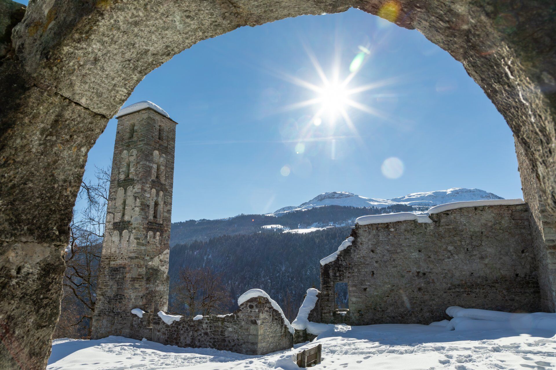
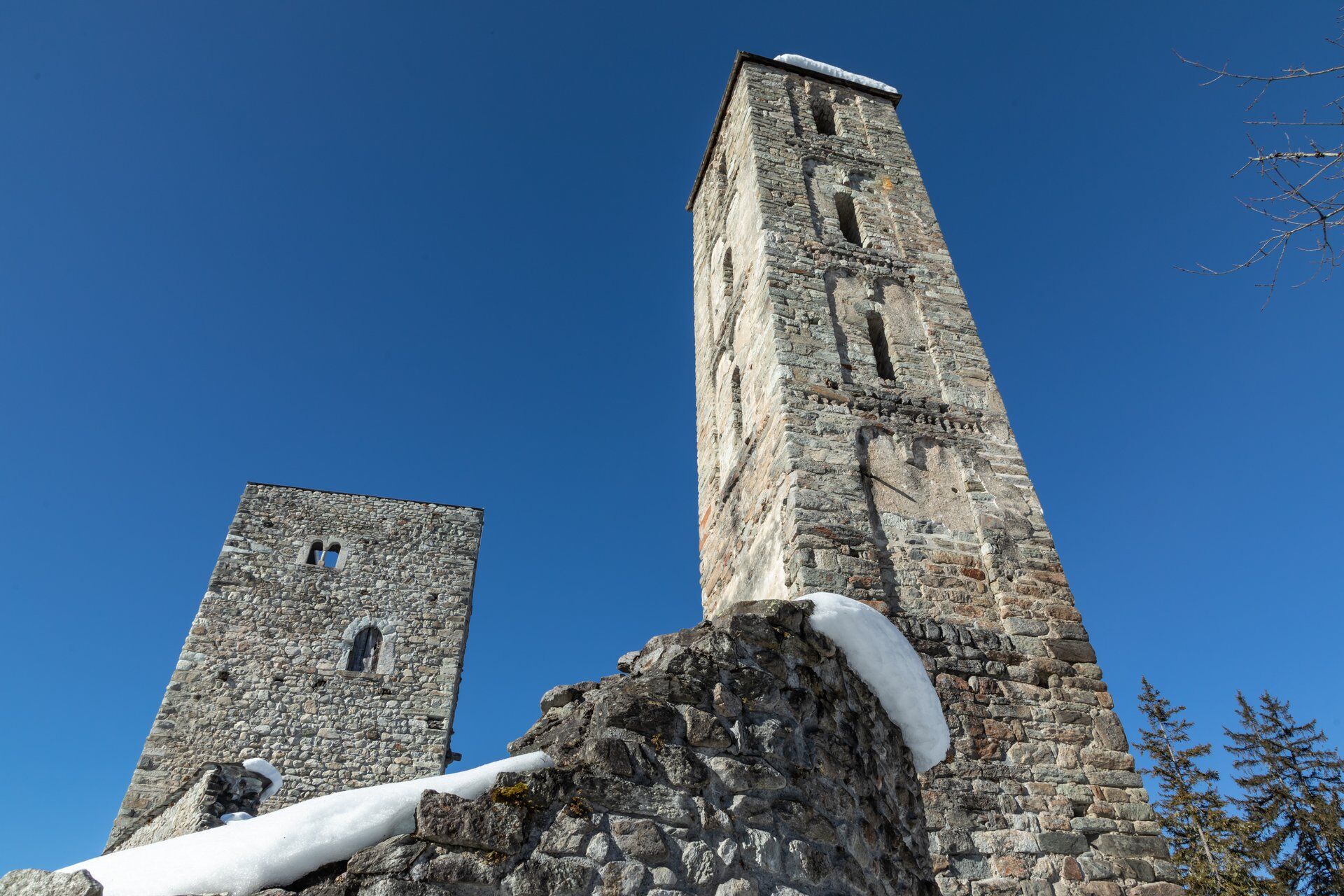
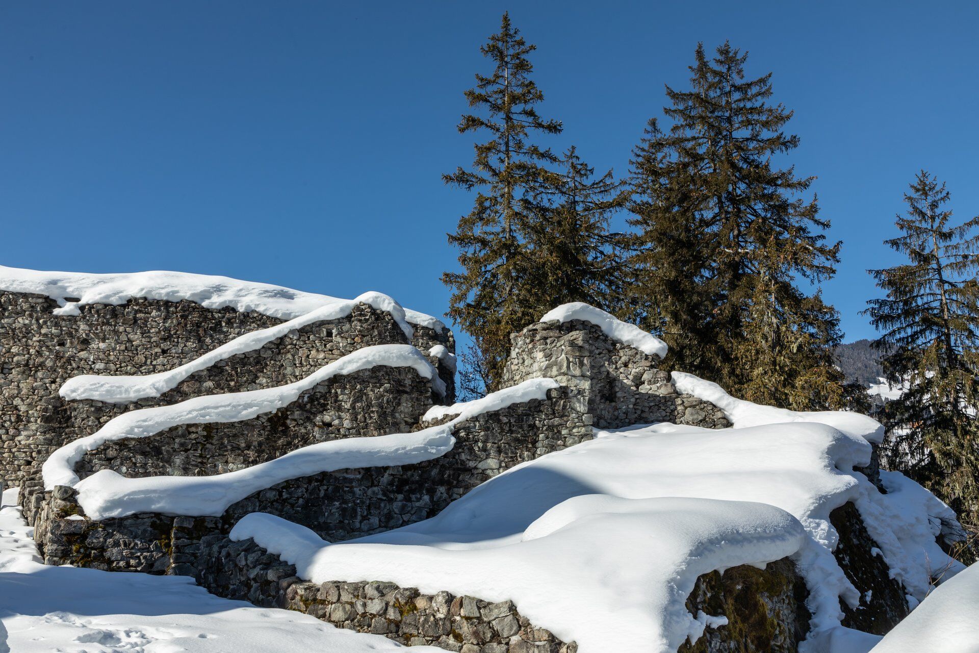
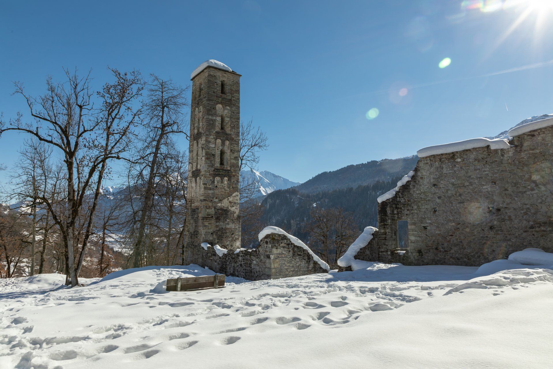
The start is in Waltensburg Demvitg. This is at the lower end of the elongated mountain village. Wearing snowshoes at the start, you walk through a residential area and later along forest and woodland paths towards the castle complex. The highlight is of course the Jörgenburg (Munt Sogn Gieri). Who has ever trudged through a snow-covered castle garden? You don't do that every day. The views of the surrounding mountains are also really beautiful.
The way back is via the meadow of Casti and Cantuns with a short climb back to the starting point.




Waltensburg - Tavellas - Munt Sogn Gieri - Casti - Cantuns - Waltensburg
Well-functioning snowshoes, poles with winter poles, good footwear, clothing suitable for winter. In winter, the wind can significantly reduce the perceived temperature: Don't forget winter gloves, hat, thermos flask, etc.
Fancy longer tours? For carefree enjoyment, we recommend our mountain guides and snowshoe hiking guides in the Surselva.
Winter is a wonderful time for us humans! Landscapes covered in deep snow, clear, pure air and a warm, cozy home waiting for you in the evening after your snowshoe tour. For our wildlife, however, such as roe deer, stags and gemsboks, winter is a tough time! Every disturbance by us humans, every escape, becomes torture for these animals and drains their reserves. Stay on the published route! This will protect the wildlife and resting areas.
144 Emergency call, first aid
1414 Mountain rescue REGA
112 International emergency call
Ab Ilanz auf der Hauptstrasse in Richtung Disentis fahren. Ca. 1 Kilometer nach Rueun der Abzweigung nach Waltensburg/Vuorz folgen und bis zum Dorfeingang fahren.
Mit dem Postauto ab Ilanz direkt nach Waltensburg/Vuorz, Mt. S.Gieri fahren
Wenige Parkplätze im Dorf von Waltensburg vorhanden.
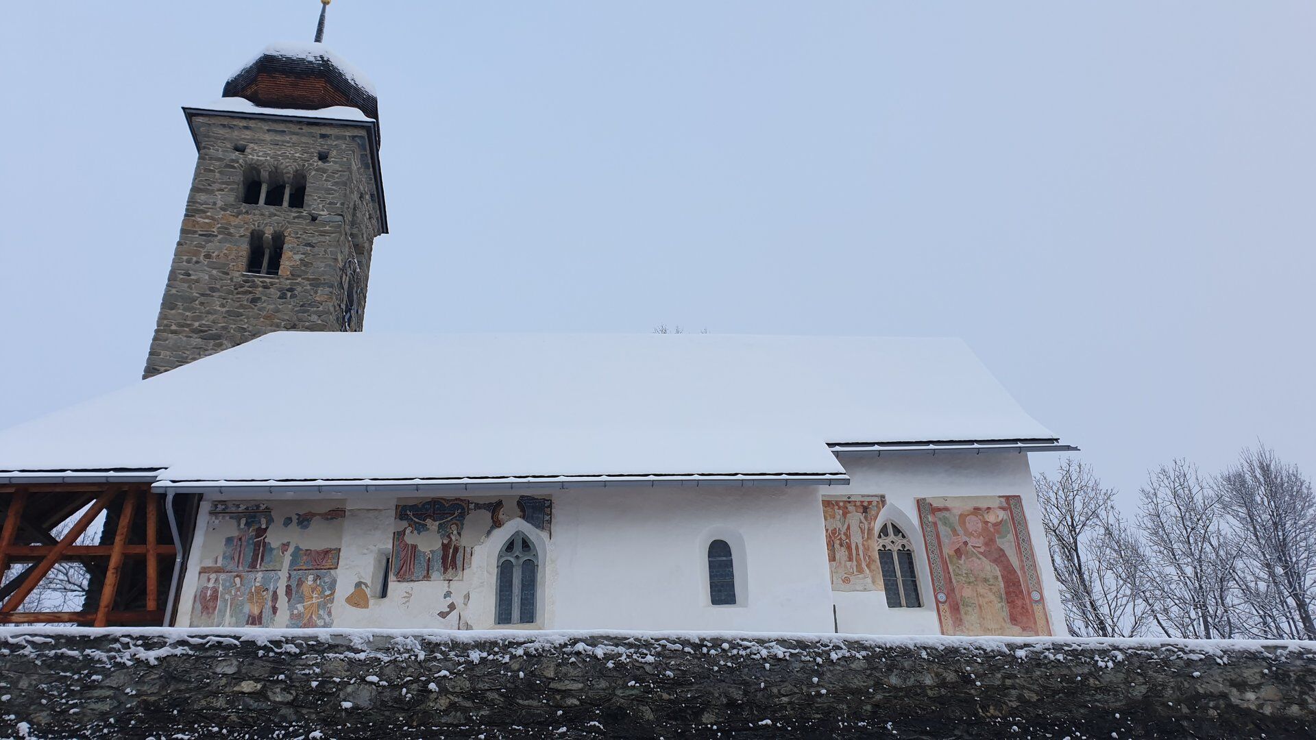
A visit to the church in Waltnsburg. The reformed church is a gem among churches. The wall paintings by an unknown master from around 1330 are particularly valuable in terms of art history.
Uzyskaj wgląd
Zawsze na żywo z ponad 9 500 kamer internetowych. bergfex Jako użytkownik Pro, możesz teraz zobaczyć odpowiednie kamery internetowe dla wielu wycieczek w aplikacji wycieczki od. Pozwala to na bezpośredni podgląd aktualnych warunków.
Popularne wycieczki w okolicy
-
4,5
4-lake hike: Caumasee - Crestasee - Felsbach Gorge
średniWędrówka 12,8 km -
4,8
Rheinschlucht: From Ilanz to Versam into the heart of the Rheinschlucht
średniWędrówka 11,4 km -
4,7
Rhine Gorge Hike: Senda Ruinaulta (659)
światłoWędrówka 9,39 km -
4,7
The Water Trail: Trutg dil Flem 764
ciężkiTrasa tematyczna 8,56 km -
5,0
Caumasee tour: Flims - Caumasee - Conn - Flims
światłoWędrówka 7,94 km -
5,0
High valley Val Frisal
ciężkiWędrówka 12,4 km -
5,0
Lower Segnesboden: Nagens Sura - Lower Segnesboden - Segnes hut - Alp Nagens
średniWędrówka 6,66 km -
4,3
Circular hike: Falera-Curnius-Alp Dadens-Falera
średniWędrówka 11,4 km -
5,0
Kalktrittli - Nüschentäli - Muttsee - Obersee - Muttenchopf - Mörtel - Limmerensee - Kalktrittli (durch Stollen)
średniWędrówka 14,8 km -
5,0
Circular route: Lake Cauma - Rhine Gorge "Swiss Grand Canyon"
średniWędrówka 19,8 km
Wędrówki i tropienie


Nie przegap ofert i inspiracji na następne wakacje
Twój adres e-mail została dodana do listy mailingowej.





