







Round trip Riein

The tour is not marked.
This area is probably one of the best snowshoe areas in the Surselva. Wild animals and tracks can often be observed. However, this also requires appropriate behavior towards the...
This area is probably one of the best snowshoe areas in the Surselva. Wild animals and tracks can often be observed. However, this also requires appropriate behavior towards the sensitive wildlife in winter.
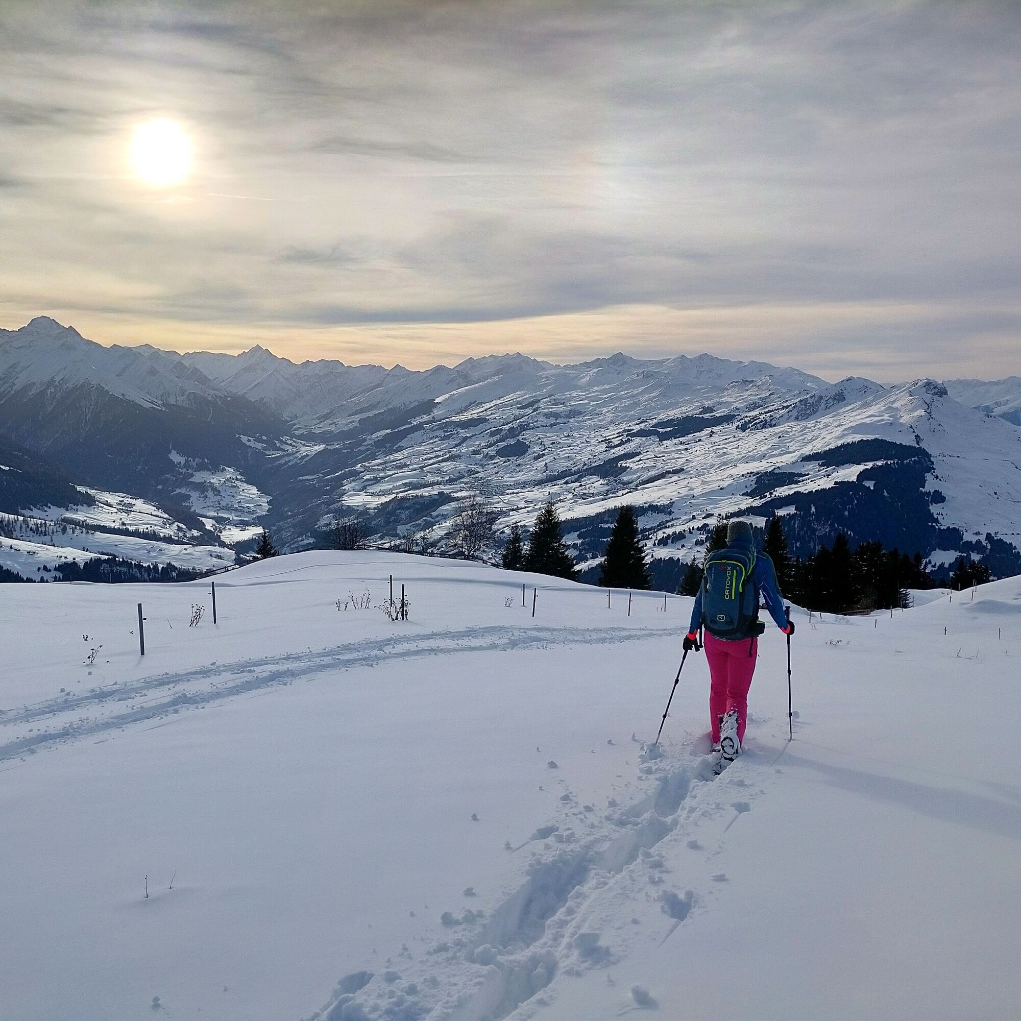
The tour starts at the upper end of the village of Riein. Shortly after the reservoir, turn right onto the wide hiking trail. Later, the trail climbs over alpine meadows. One section is flatter, the other steeper. You soon arrive at the bottom of the Cuolm Sura mountain pastures. There are often different tracks here and you can take a rest before the steeper ascent to Alp da Sevgein. Once again, a flatter section offers a short rest. But now it's down to business and you climb a good 300 meters up to the Dutjer Alp. The panorama up here at over 2000 meters above sea level extends over the whole of the Surselva down to the Alpine town of Chur, the 3000-metre peaks of the Sardona chain. The subsequent descent over the broad ridge to Alp da Riein is leisurely. Now you are well run in and can jump and slide down the somewhat steeper slopes. At Darmasal you return to the ascent route and can now trudge back to Riein in a relaxed manner.

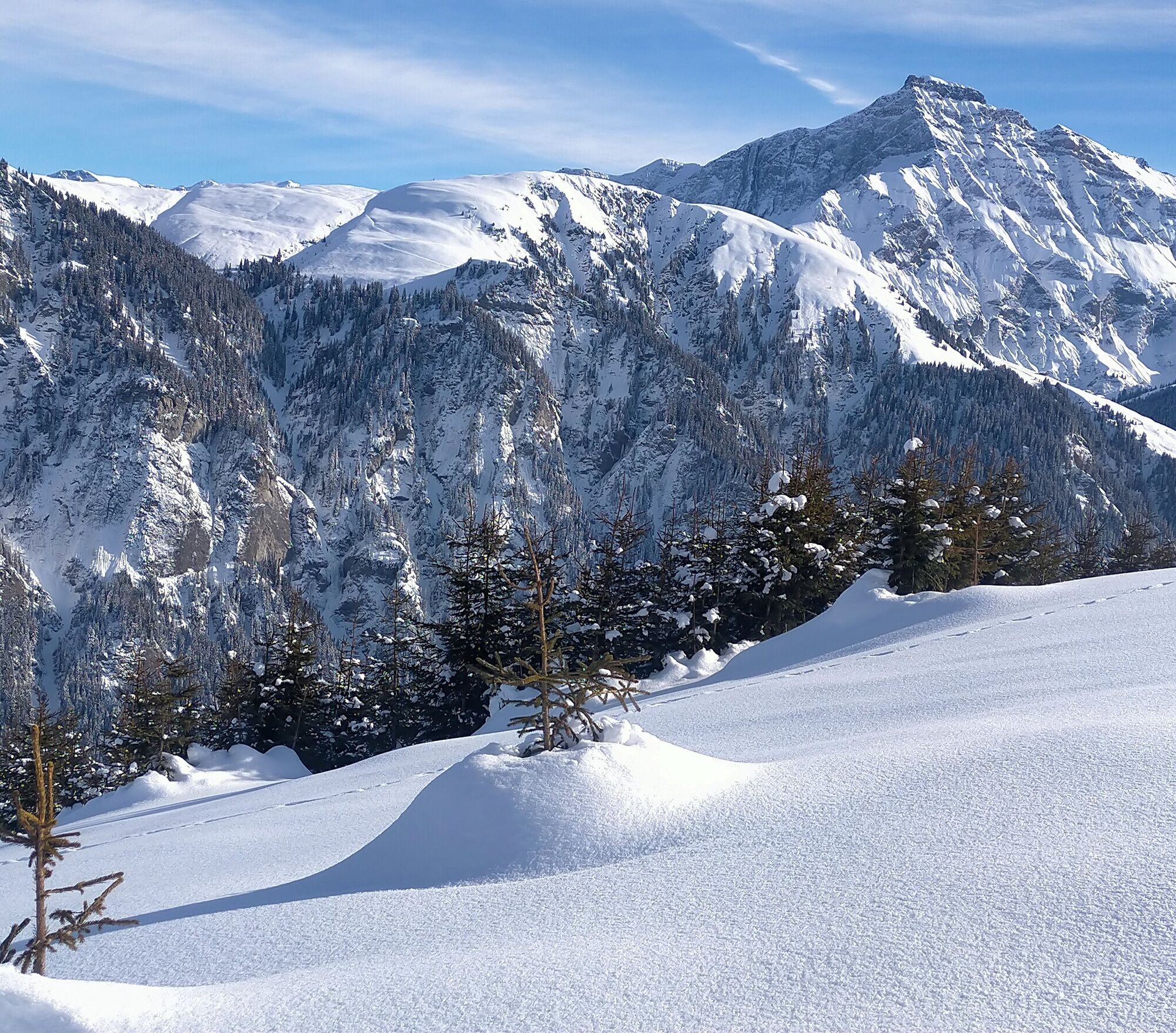
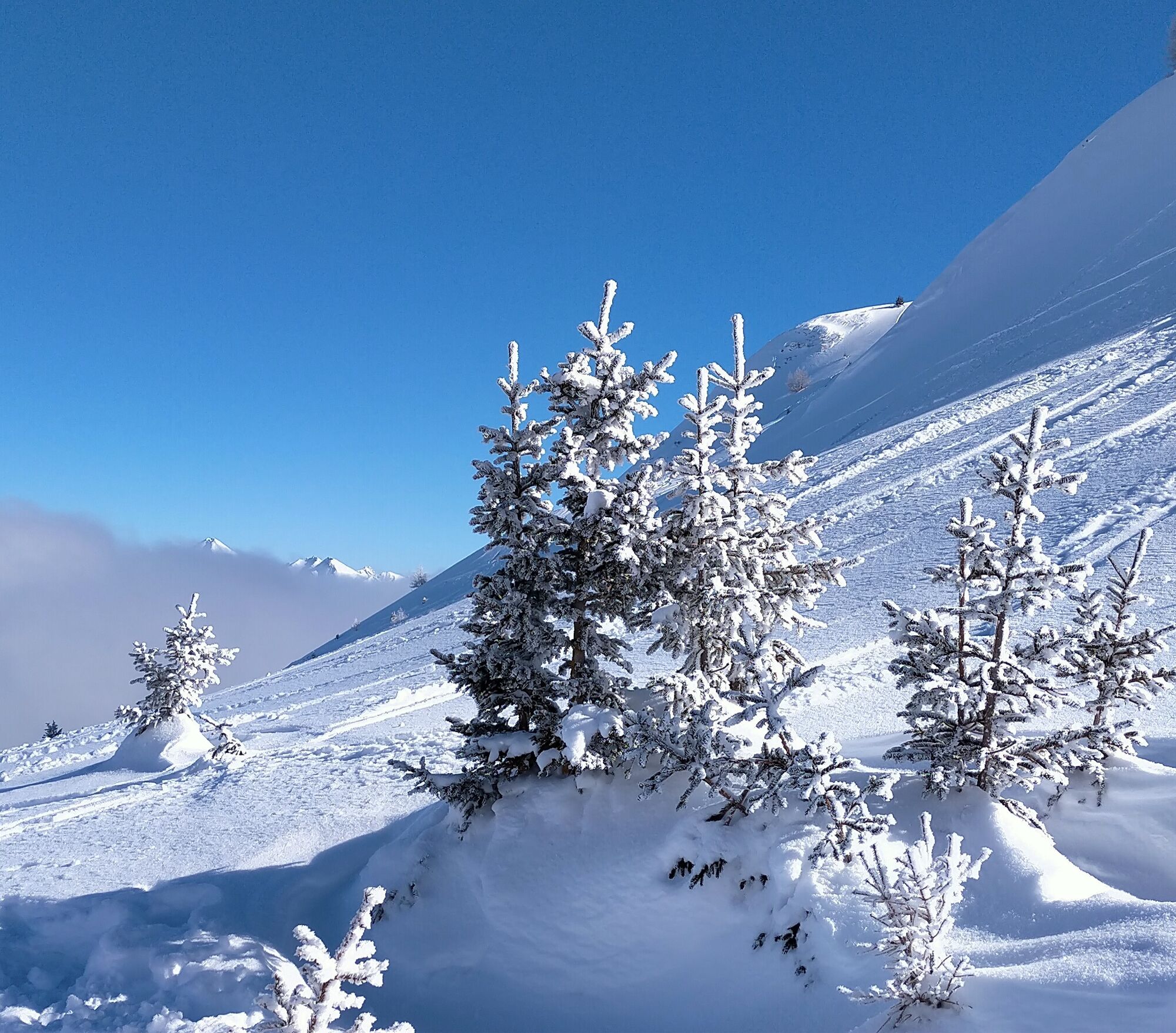
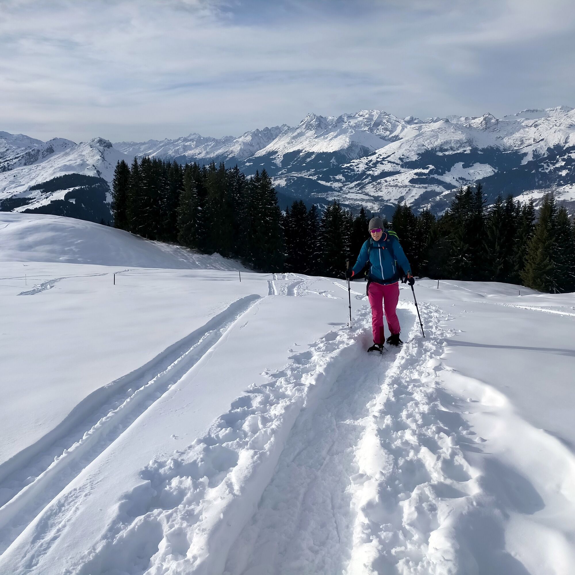
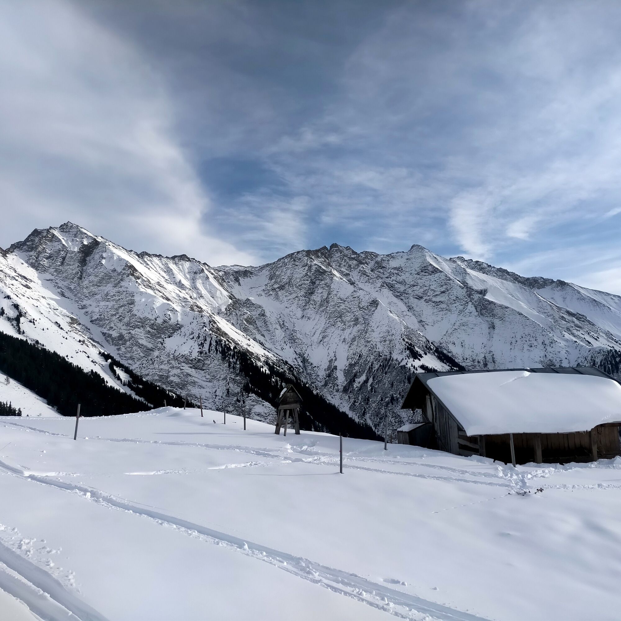

Riein - Cuolm Sura - Alp da Sevgein - Dutjer Alp - Alp da Riein - Riein
See safety information
We recommend using the WhiteRisk app and website to prepare and plan your tour.
For carefree enjoyment, we recommend our mountain guides and snowshoe hiking guides in the Surselva.
The game needs plenty of rest to survive the harsh winter. Please adhere to the official prohibitions and recommendations.
Auf der A13 bis Reichenau, danach auf der Hauptstrasse via Flims und nach Ilanz und weiter nach Riein.
Rhb: Chur – Ilanz
Postauto: Ilanz - Riein; BUS 405 Richtung Riein, Haltestelle Riein vitg
Kleiner Parkplatz oberhalb des Dorfes Riein vorhanden.
The church in Riein is well worth a visit.


Popularne wycieczki w okolicy
-
4,9
Rheinschlucht: From Ilanz to Versam into the heart of the Rheinschlucht
średniWędrówka 11,4 km -
4,4
4-lake hike: Caumasee - Crestasee - Felsbach Gorge
ciężkiWędrówka 13,3 km -
4,8
Rhine Gorge Hike: Senda Ruinaulta (659)
światłoWędrówka 9,39 km -
4,8
Mountain hike to the Strudeltöpfe on Alp Mora: Bargis-Trin
ciężkiWędrówka 18 km -
4,7
The Water Trail: Trutg dil Flem 764
ciężkiTrasa tematyczna 8,56 km -
5,0
Lower Segnesboden: Nagens Sura - Lower Segnesboden - Segnes hut - Alp Nagens
średniWędrówka 6,66 km -
5,0
Caumasee tour: Flims - Caumasee - Conn - Flims
światłoWędrówka 7,94 km -
4,3
Historic Pinut via ferrata
średniVia ferrata 5,82 km -
3,8
Circular hike: Falera-Curnius-Alp Dadens-Falera
średniWędrówka 11,4 km -
5,0
Rhine Gorge Circular Hike
średniWędrówka 11,4 km
Wędrówki i tropienie


Nie przegap ofert i inspiracji na następne wakacje
Twój adres e-mail została dodana do listy mailingowej.





