







Circular route Vallada from Brigels or Ilanz

Poziom trudności: S1
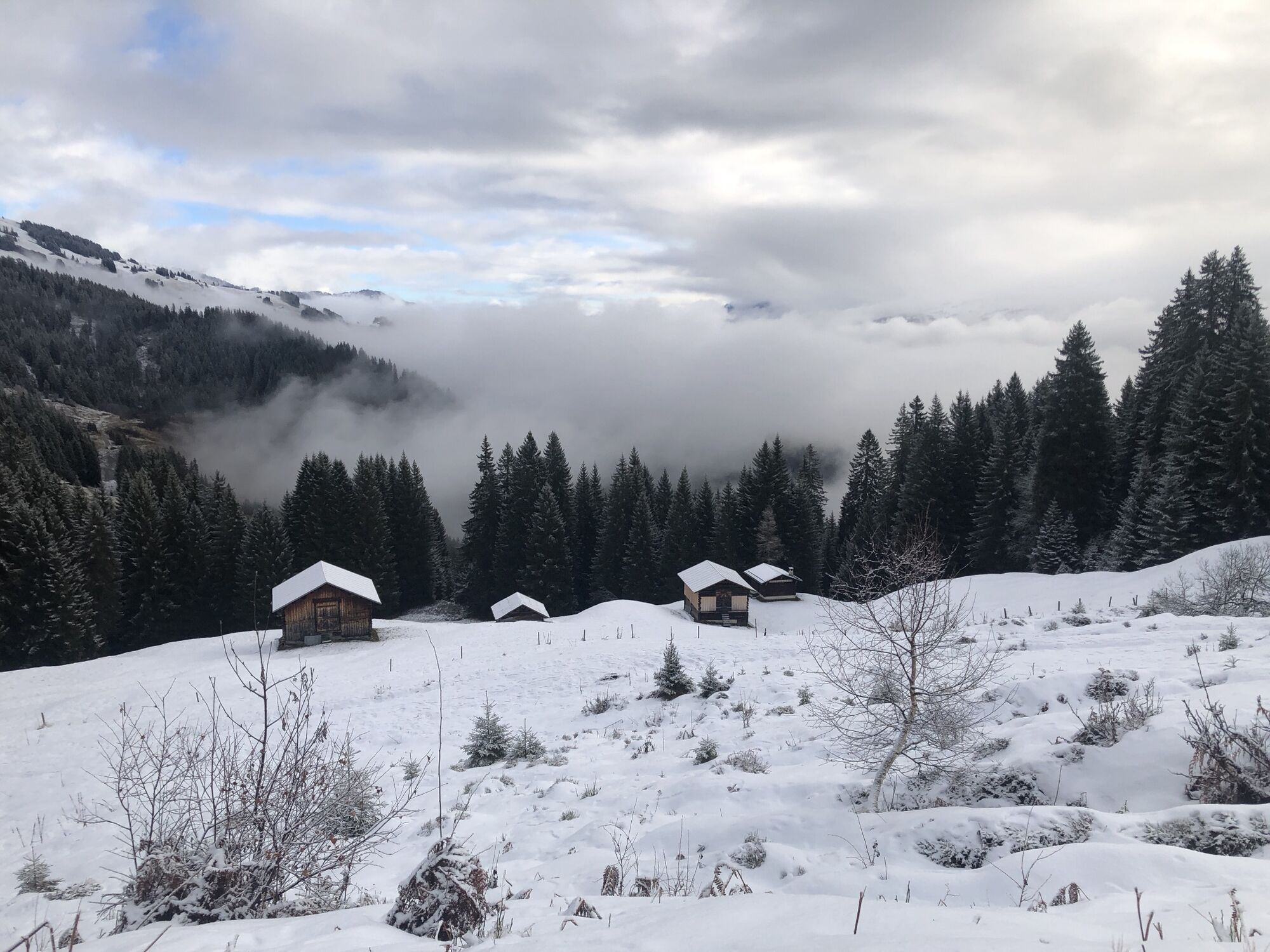
The route starts at the valley station of the Bergbahnen Brigels. After a few meters through the mountain village, you cross the main road and enter the first flowing singletrail. In Flimegl, shortly before...
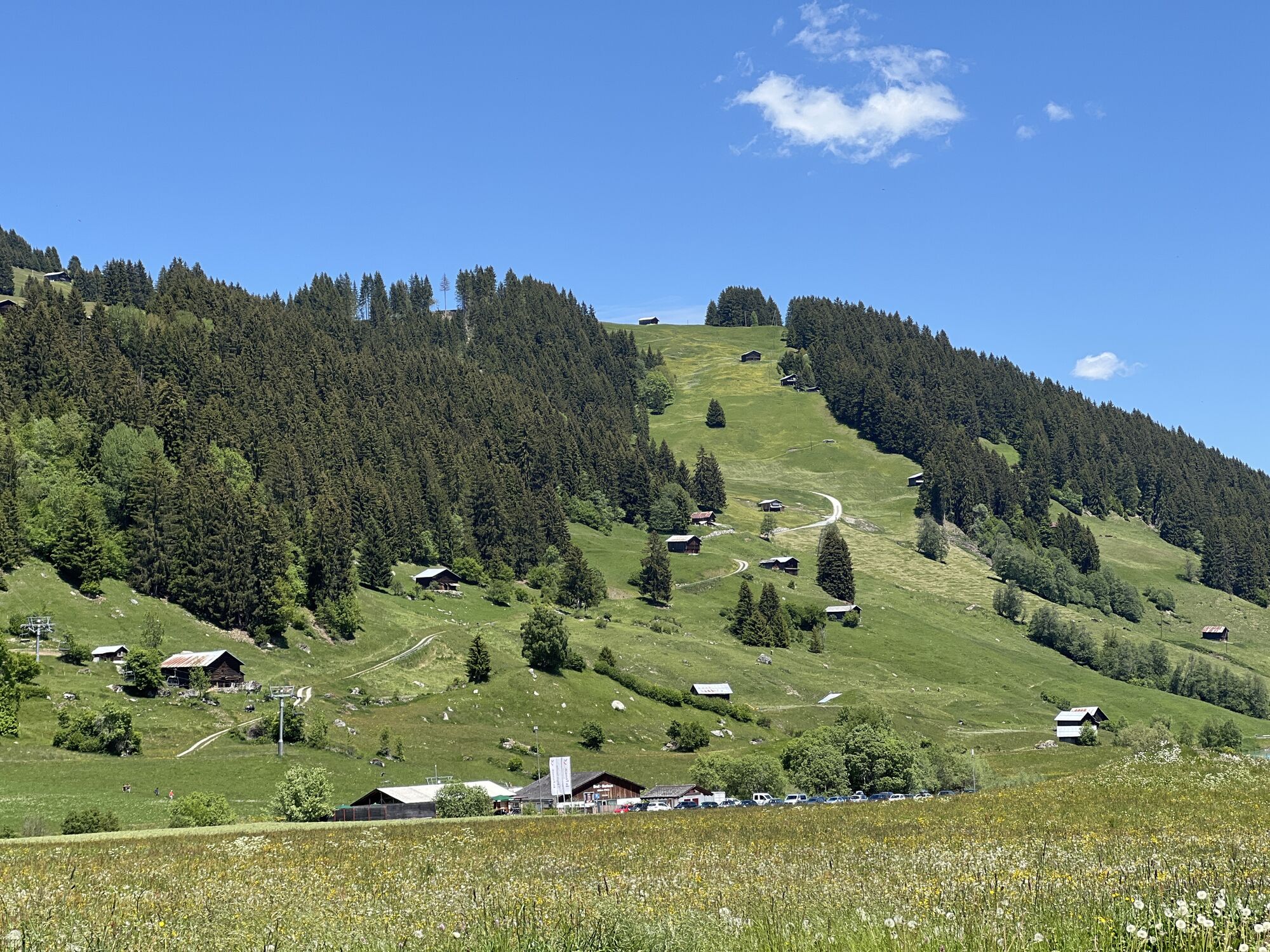
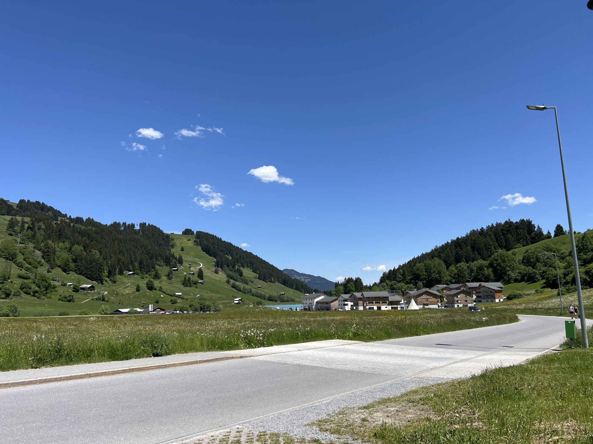
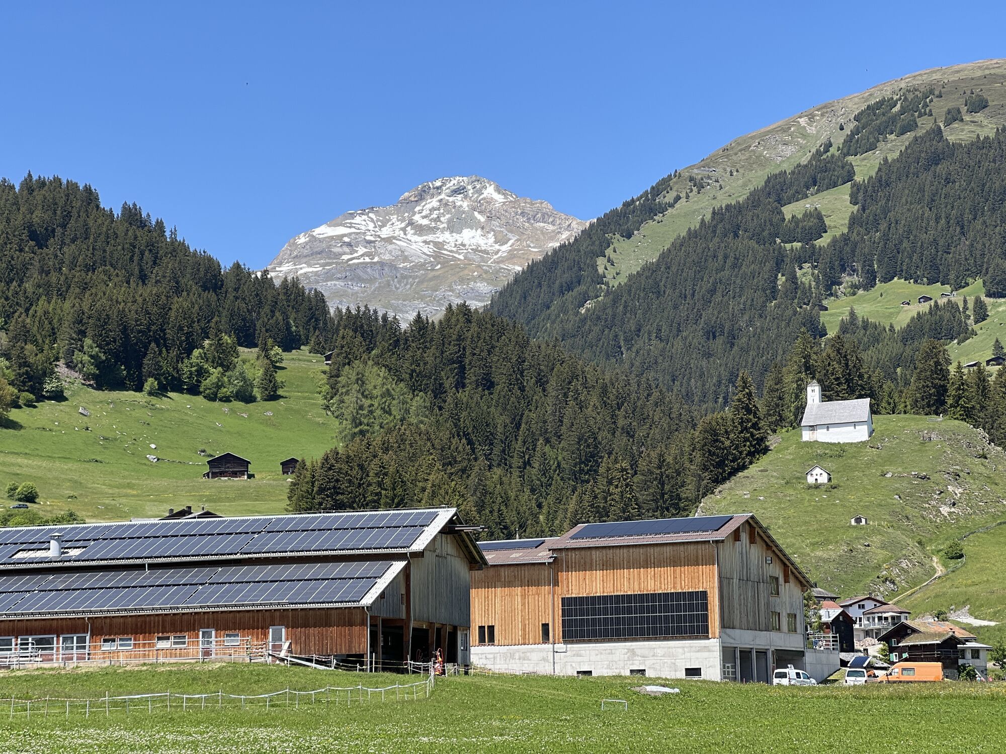
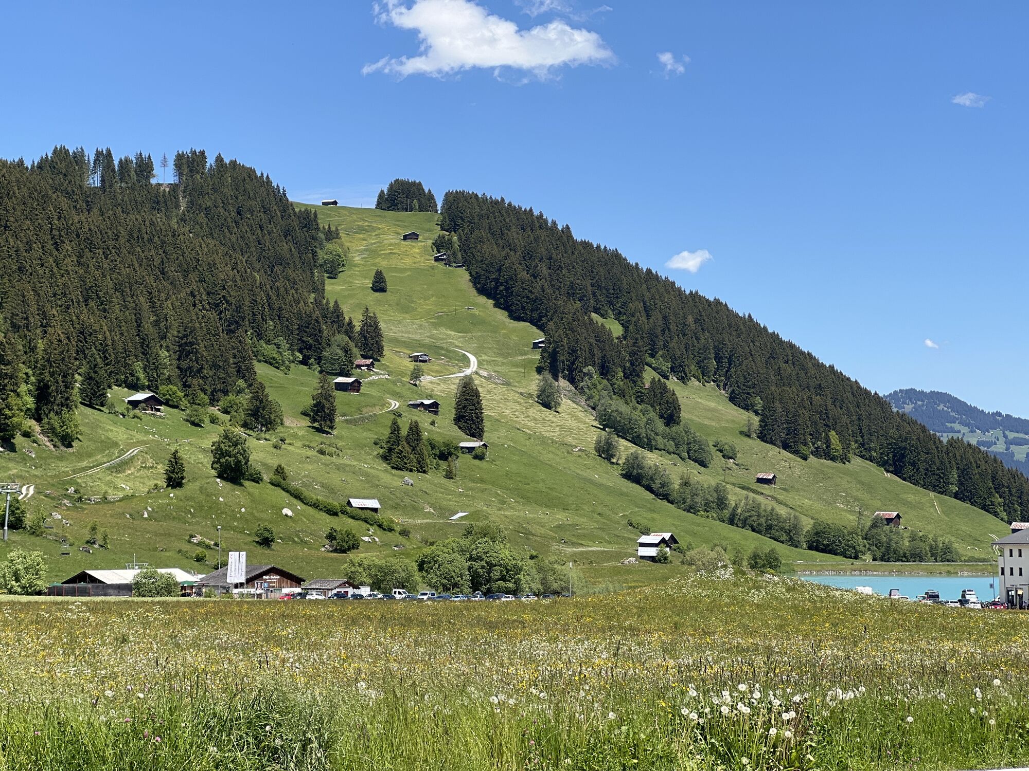
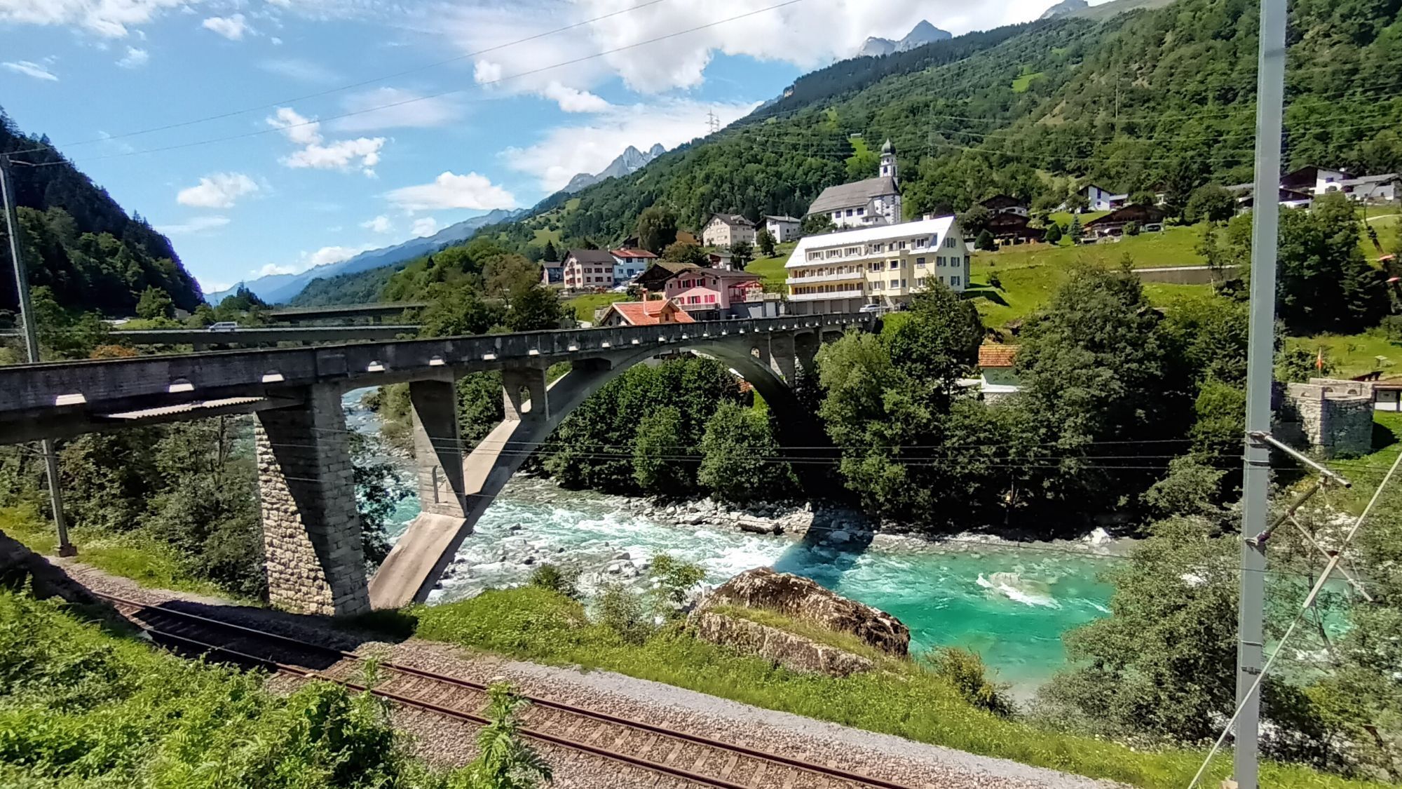
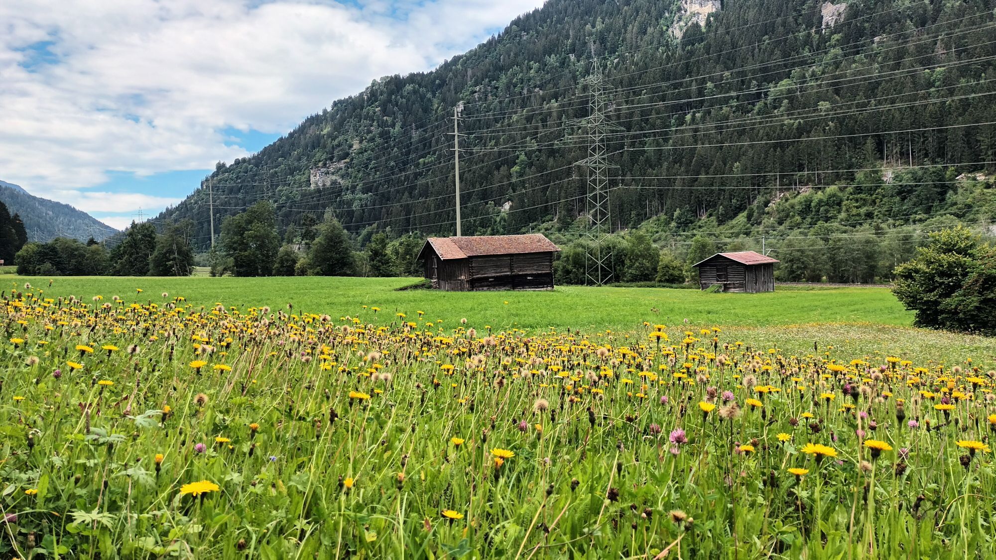
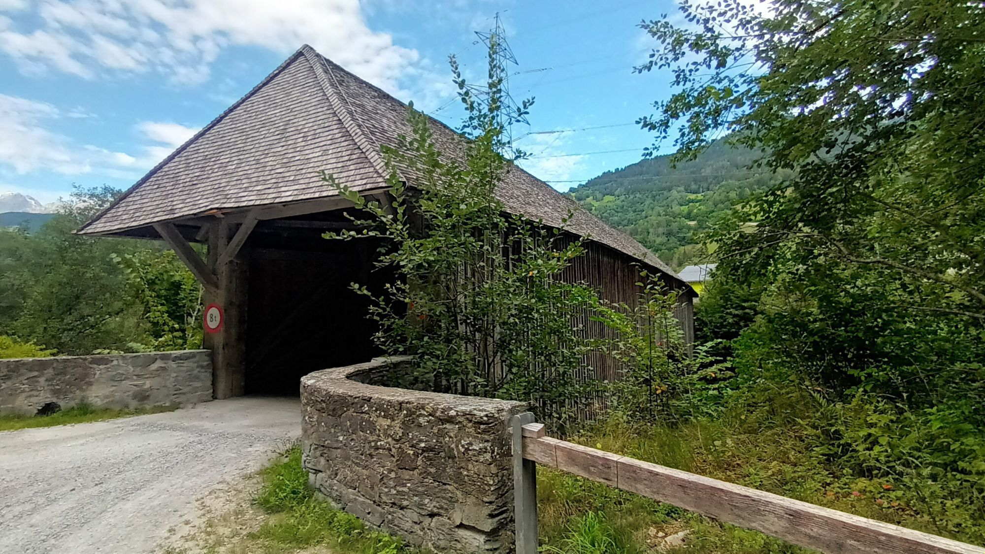
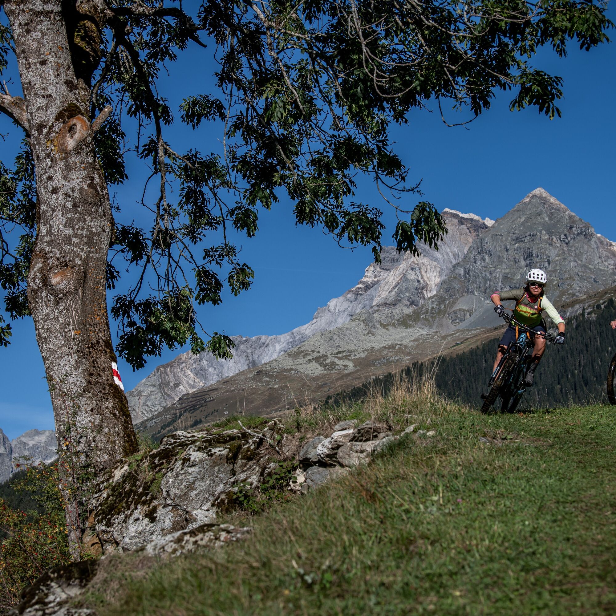
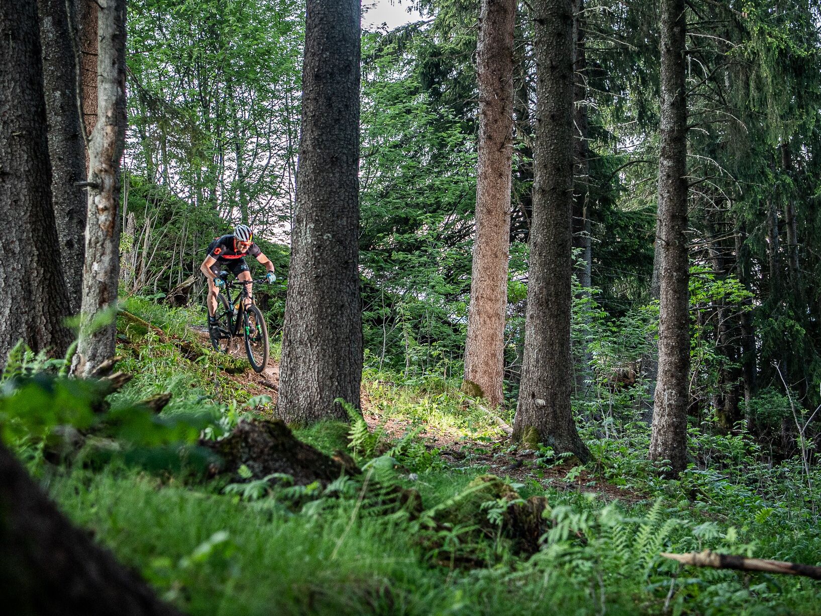
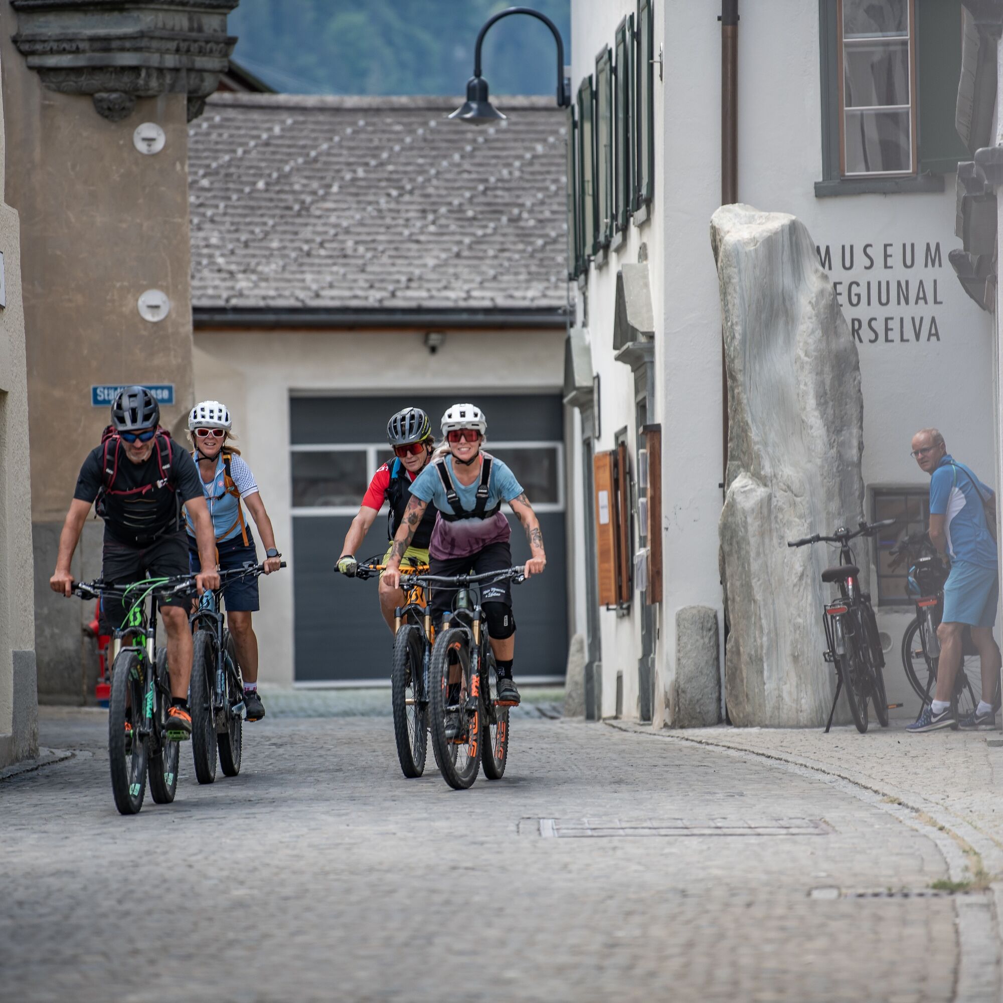
The route starts at the valley station of the Bergbahnen Brigels. After a few meters through the mountain village, you cross the main road and enter the first flowing singletrail. In Flimegl, shortly before Dadrin, the route then branches left onto a forest road and after a few hundred meters there is a short very steep climb to Carneglias. From here there is a lot of flow again until it becomes a bit more technical shortly before the end. Afterwards, you roll comfortably on the forest road to Danis and further down to the old wooden bridge between Danis and Tavanasa. From here the route follows the signposted national bike route “2 Rhine Route” to Ilanz station. From Ilanz you ride over Strada and Schnaus back to Rueun. In the village of Rueun, the route first heads towards Pigniu, but then branches left onto the dirt road at the first hairpin turn. This leads you to the connecting road Andiast - valley station Curtginet. Via Migliè the route now goes to Brigelsersee and further to the starting point of the route.


Valley station Bergbahnen Brigels - Parish church Brigels - Baditschus - Denter Fontaunas - Dardin Flimegl - Carneglias - Uaul Zaniz - Danis - Tavanasa Tavanasas - Ilanz - Strada - Schnaus - Rueun - Valley station Curtginet - Migliè - Valley station Bergbahnen Brigels
MTB, helmet, possibly gloves and knee pads, good footwear, glasses, rain and sun protection, drink, repair kit, first aid kit
The route should not be started in uncertain weather conditions. Weather changes in the mountains are frequent. If a rain front or similar comes up during the route, you should turn back in time.
Respect other trail users - trail tolerance!
On the A13 to Reichenau, then on the main road 19 via Flims to Tavanasa and then up to Brigels
From the capital of the canton of Grisons, Chur, you take the Rhaetian Railway through the spectacular Rhine Gorge to Ilanz and on to Tavanasa. Afterwards, take the post bus line 90.461 Tavanasa - Brigels to the stop Breil/Brigels, casa communala
Parking is available at the parking lots of the valley station Bergbahnen Brigels
S1
Surselva Tourismus AG
Info Brigels
Via Principala 32
CH-7165 Breil/Brigels
Tel.: 0041 81 941 13 31
Email: brigels@surselva.info
Internet: www.surselva.info
Shorten the bike route with the help of the post bus from Ilanz to Waltensburg/Vuorz, Ucliva and save about 450 meters in altitude.
Kamery internetowe z trasy

Popularne wycieczki w okolicy
-
4,9
Rheinschlucht: From Ilanz to Versam into the heart of the Rheinschlucht
średniWędrówka 11,4 km -
4,4
4-lake hike: Caumasee - Crestasee - Felsbach Gorge
ciężkiWędrówka 13,3 km -
4,7
Rhine Gorge Hike: Senda Ruinaulta (659)
światłoWędrówka 9,39 km -
5,0
Lower Segnesboden: Nagens Sura - Lower Segnesboden - Segnes hut - Alp Nagens
średniWędrówka 6,66 km -
4,7
The Water Trail: Trutg dil Flem 764
ciężkiTrasa tematyczna 8,56 km -
5,0
High valley Val Frisal
ciężkiWędrówka 12,4 km -
5,0
Caumasee tour: Flims - Caumasee - Conn - Flims
światłoWędrówka 7,94 km -
4,3
Historic Pinut via ferrata
średniVia ferrata 5,82 km -
3,5
Tour zum Martinsloch
ciężkiWędrówka 3,82 km -
3,8
Circular hike: Falera-Curnius-Alp Dadens-Falera
średniWędrówka 11,4 km
Wędrówki i tropienie


Nie przegap ofert i inspiracji na następne wakacje
Twój adres e-mail została dodana do listy mailingowej.





