







Cuolms e pradas - panorama route
Poziom trudności: S1
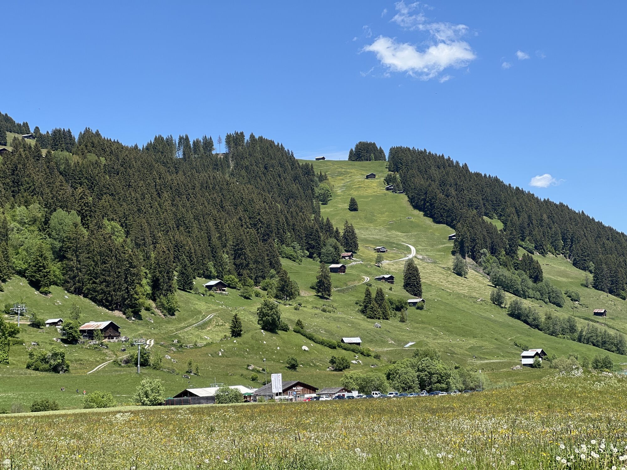
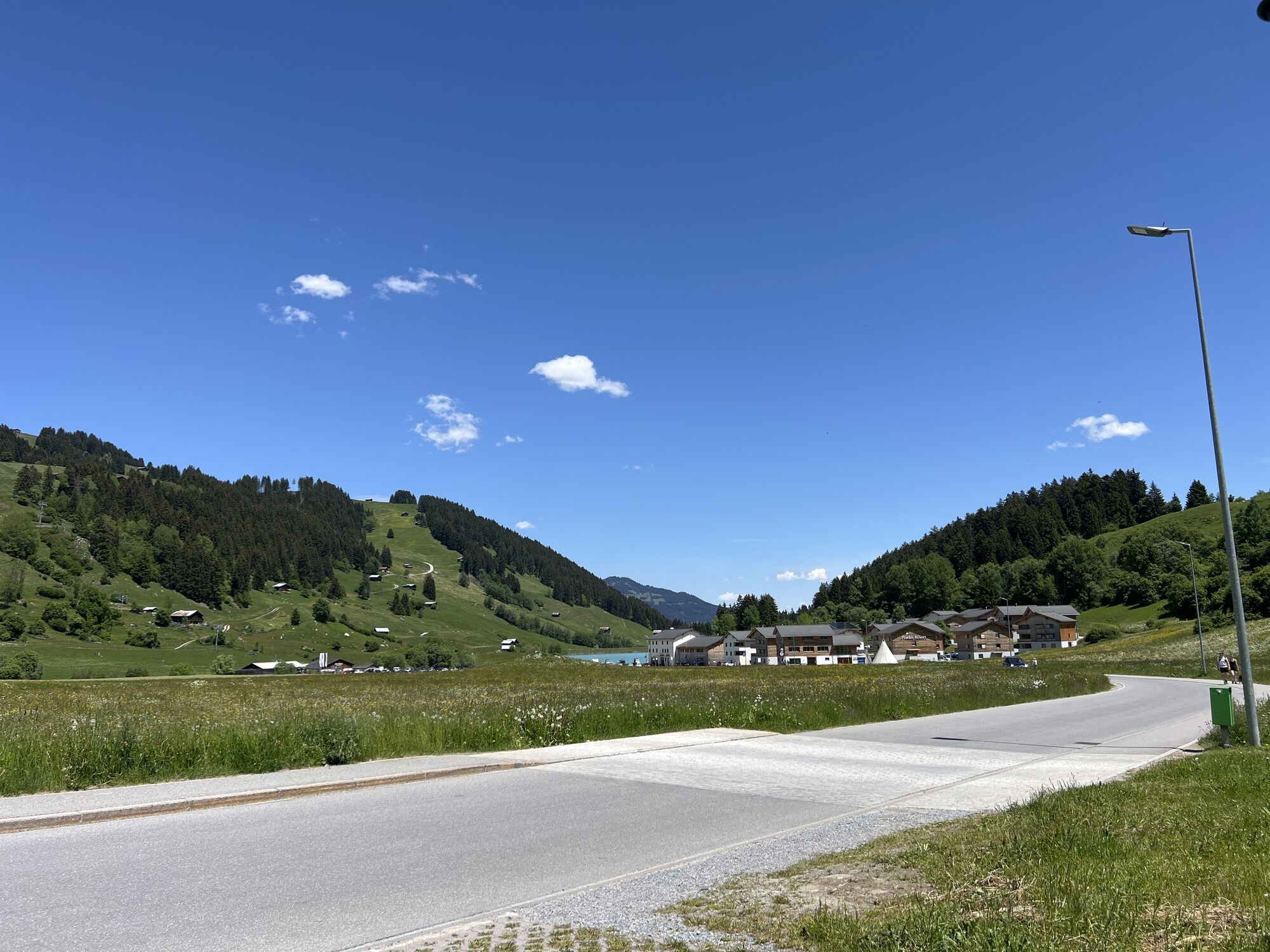
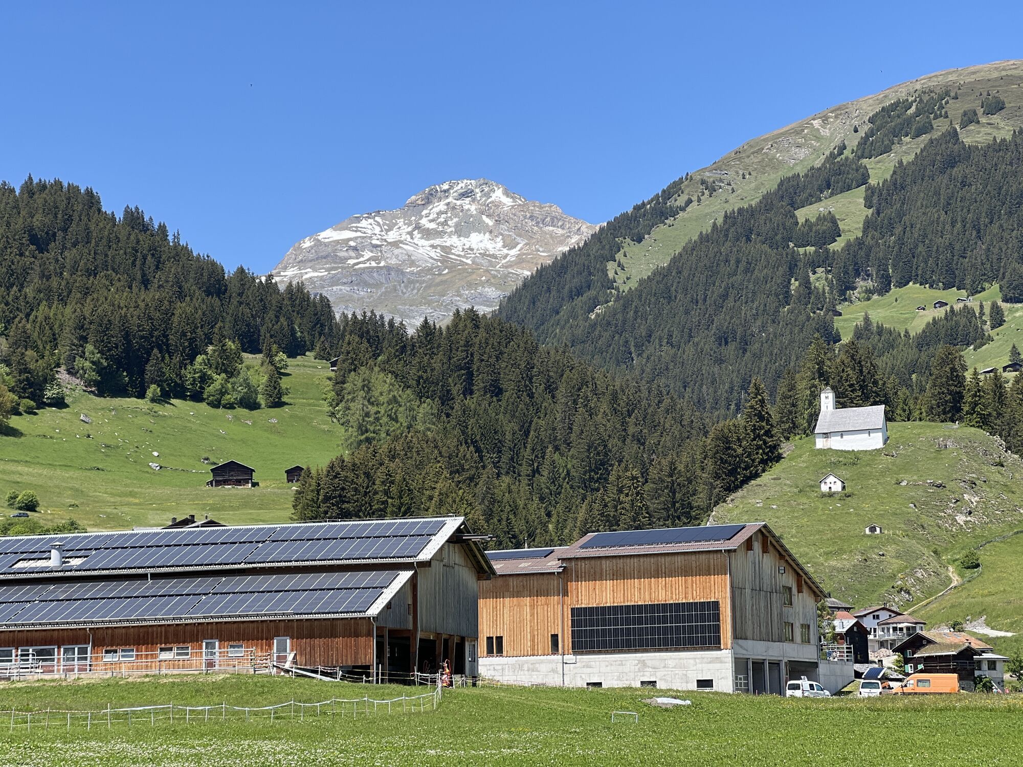
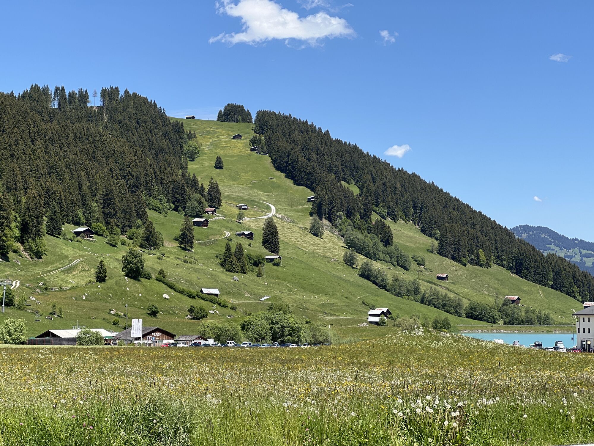
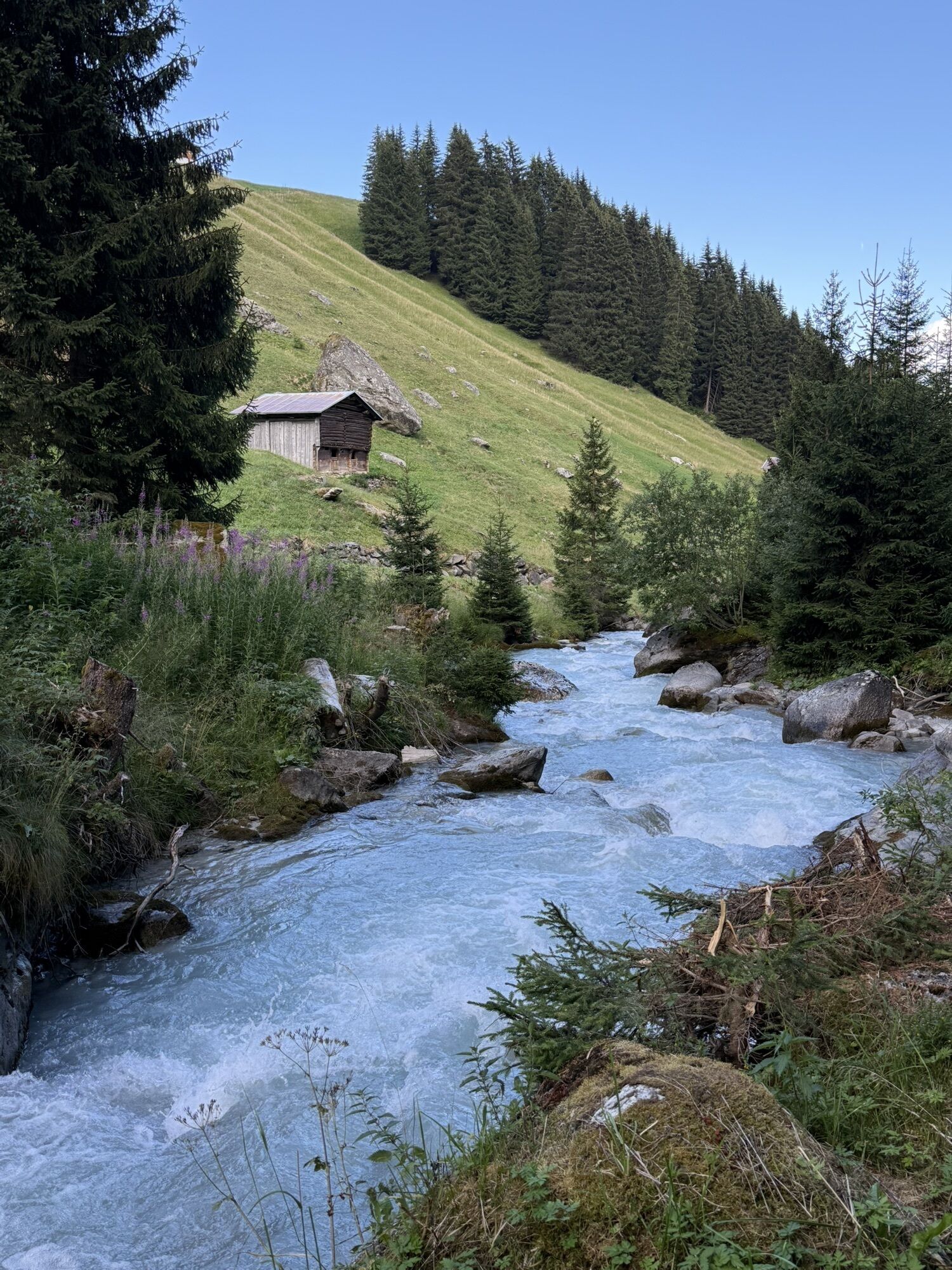
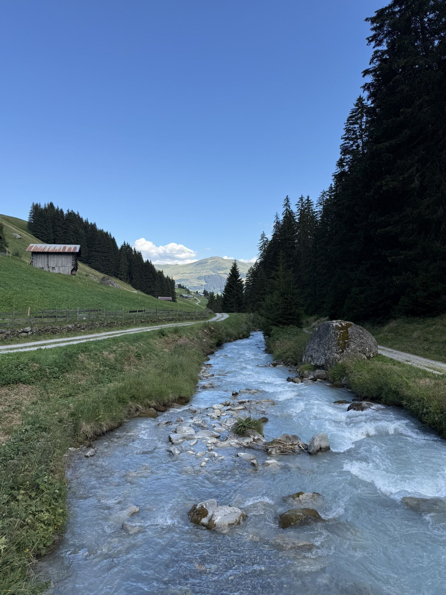
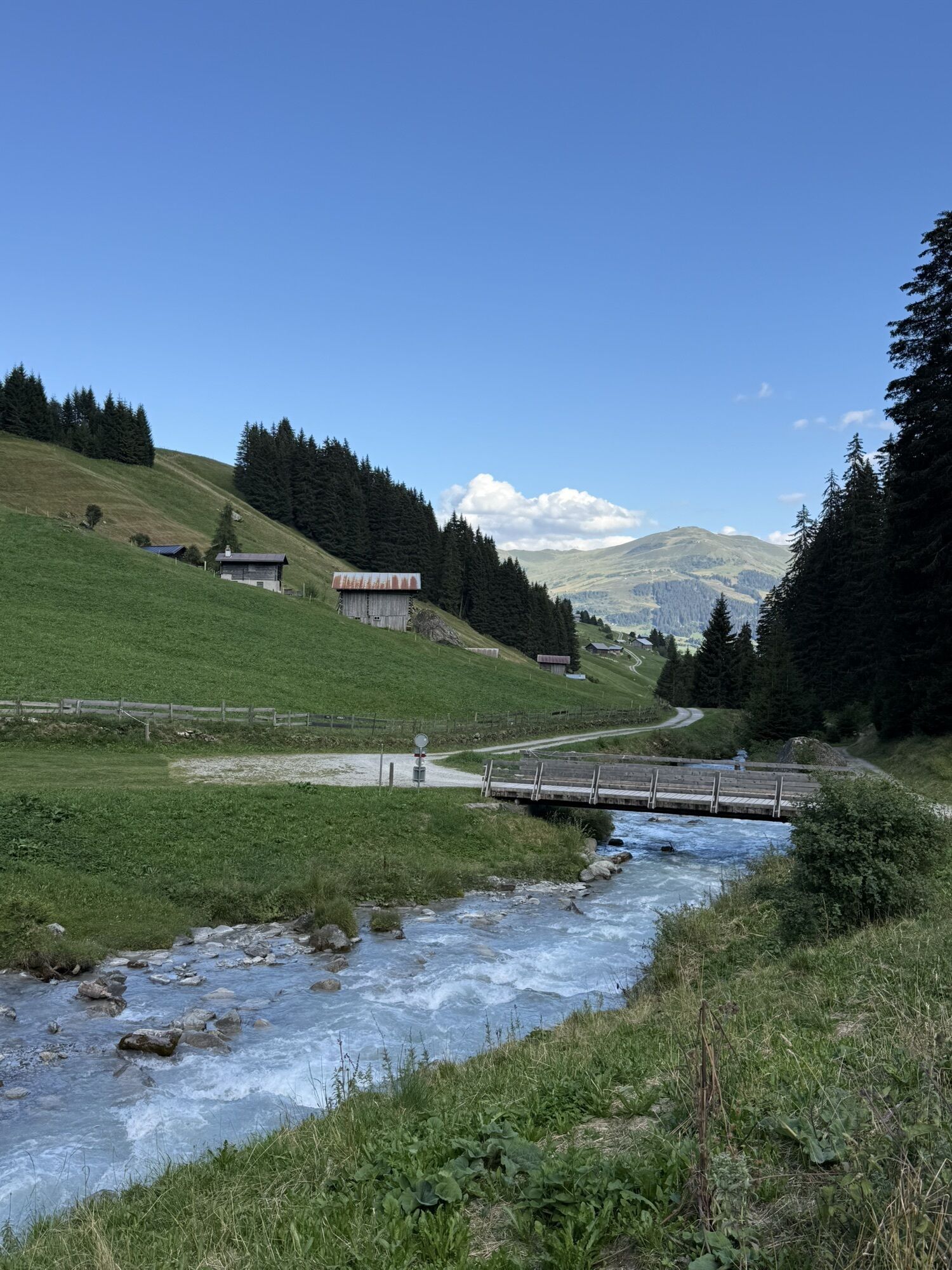
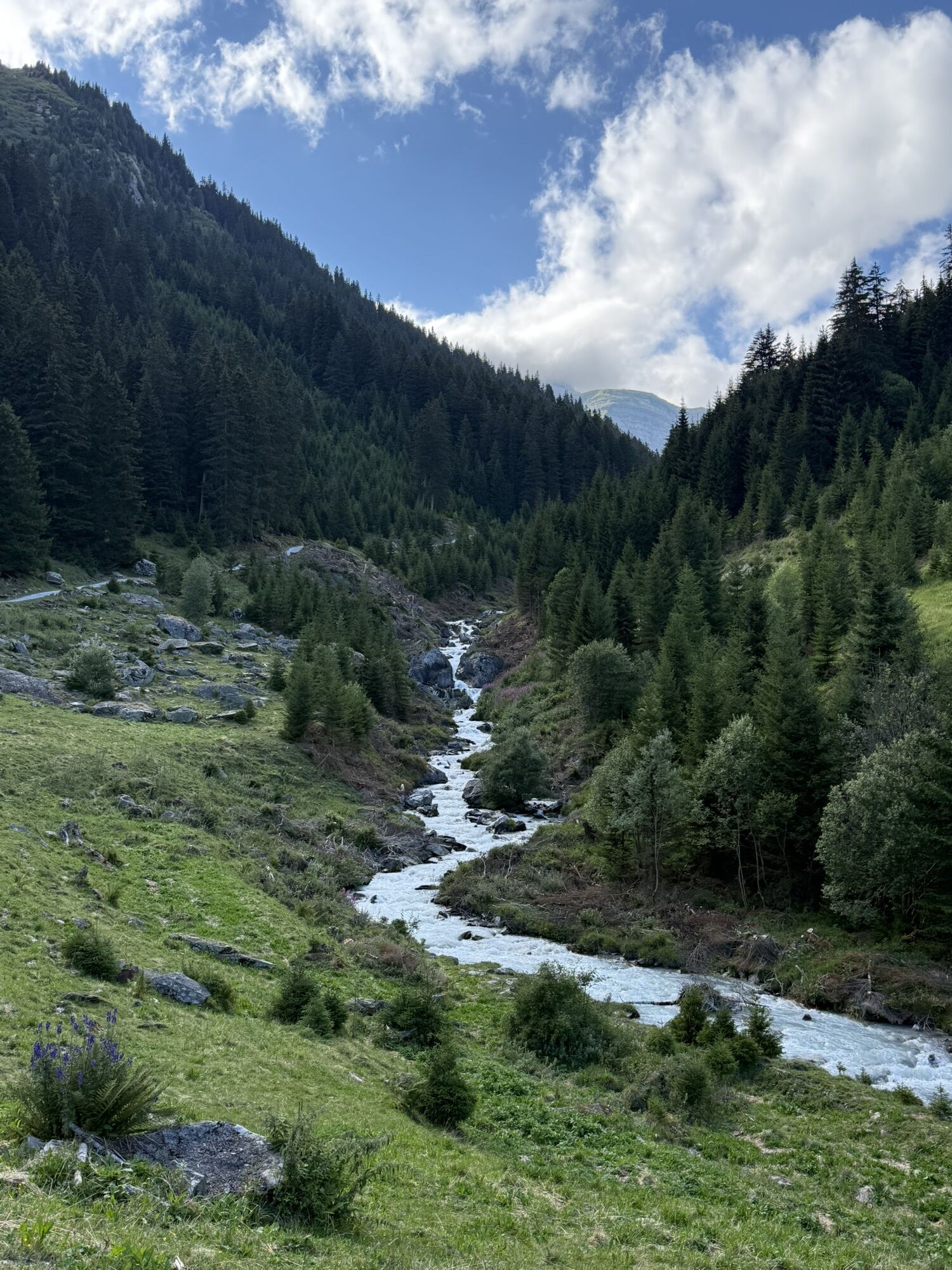
This technically simple circular route starts and ends at the valley station of the Brigels cable cars. First, the route leads through Brigels village to the viewpoint Flanz (Adlerstein). Then it continues...
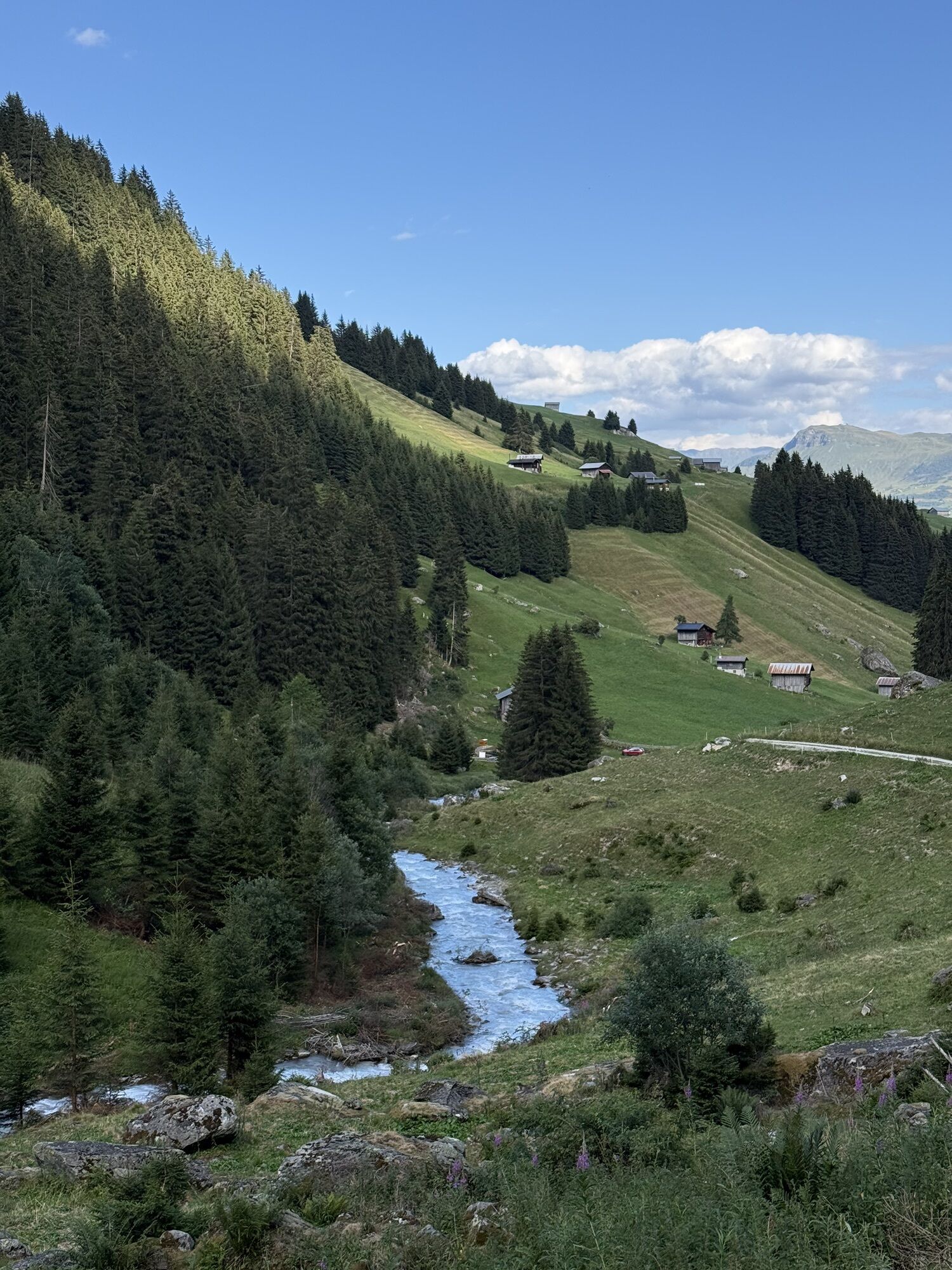
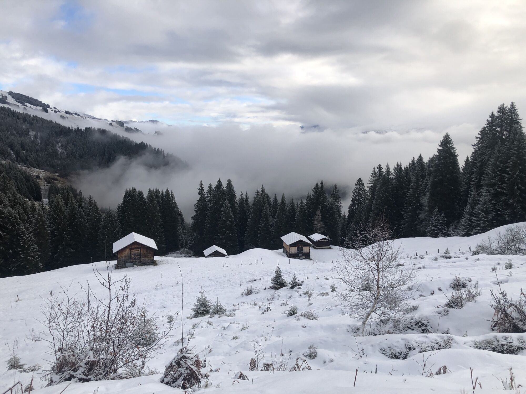
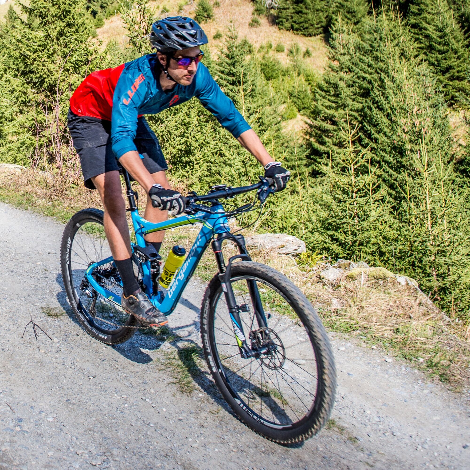
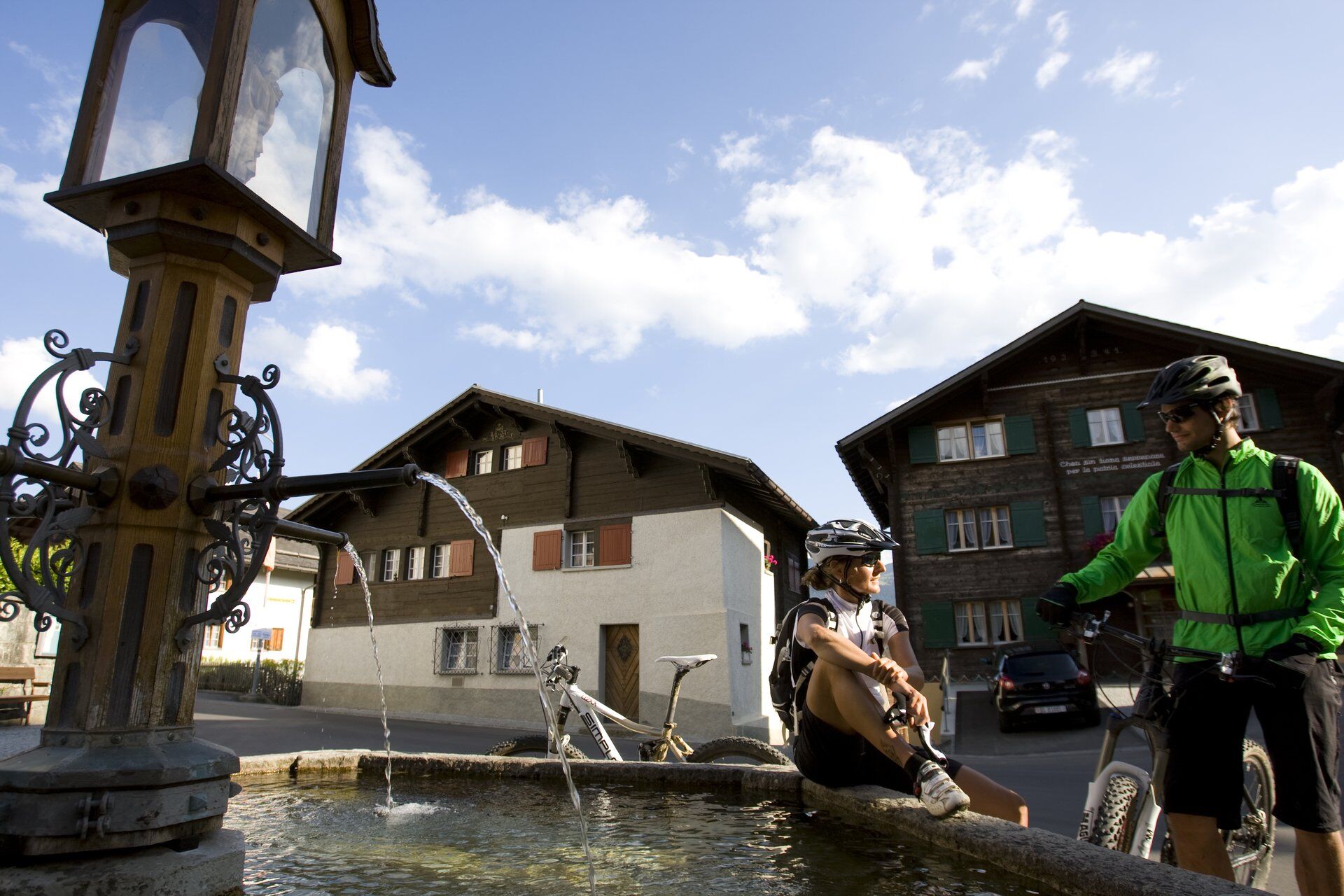
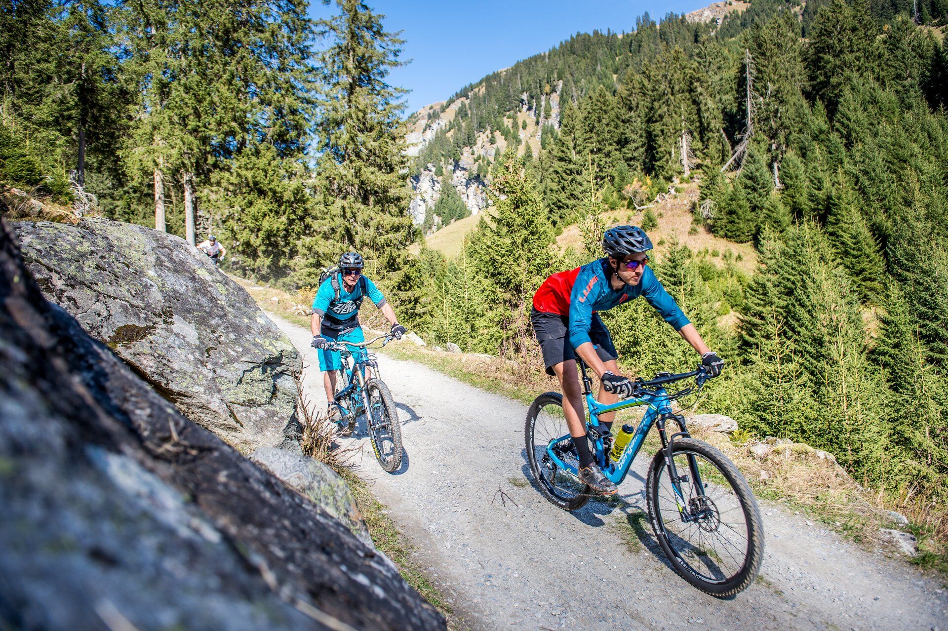
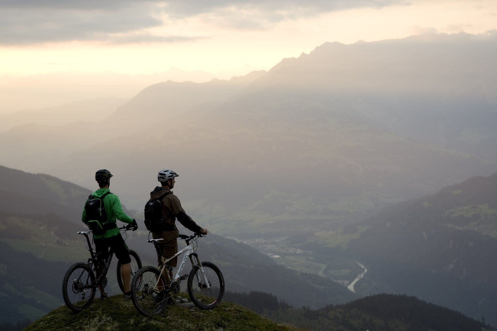
This technically simple circular route starts and ends at the valley station of the Brigels cable cars. First, the route leads through Brigels village to the viewpoint Flanz (Adlerstein). Then it continues over beautiful forest paths and trails to Waltensburg Sum Vitg, where the first longer ascent of this route begins. Initially, it goes up to Andiast and further over the Cuolms d'Andiast up to Con Ault. Now begins a brisk descent via an easy singletrail to Buriz. Then a few more metres down a forest road to Ladinas, where the second somewhat longer ascent follows up to just below Alp Dado. Now it's time to focus again on the descent. Past the mountain restaurant Burleun, the mountain station Crest Falla and Plumarscha, you reach Prau Tgierv. Instead of going directly down to Brigels now, there is a small additional loop into the Val Frisal. Via a forest road, you finally return back to the starting point of the route.



Valley station Brigels - Brigels village - Crest la Crusch - Run Sura - Waltensburg Sumvitg - Curtginet - Andiast village - Andiast Fraissen - Point 1432 - Point 1538 - Point 1678 - Ladinas - Resgia - Canischauna - Nischarinas - Alp Dado - Burleun - Crest Falla - Plumarscha - Prau Tgierv - Muliniala - Alp da Stiarls - Val Zuorden - Brigels village - Valley station Brigels
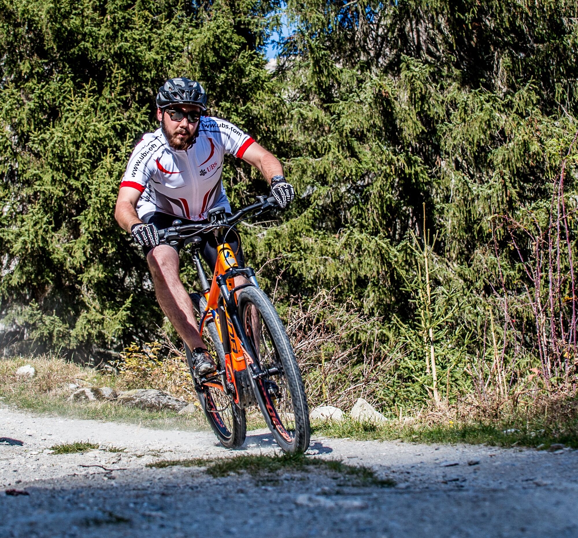
MTB, helmet, gloves, biking shoes, glasses, rain and sun protection, drink, repair kit, first aid kit
In uncertain weather conditions, the route should not be started. Weather changes in the mountains are common. If a rain front or similar develops during the route, you should turn back in time.
Respect other trail users - trail tolerance!
Take the A13 to Reichenau, then the main road 19 via Flims to Tavanasa and subsequently up to Brigels
From the Grisons cantonal capital Chur, take the Rhaetian Railway through the spectacular Rhine Gorge to Ilanz and onwards to Tavanasa. Then take the PostBus line 90.461 Tavanasa - Brigels to the stop Breil/Brigels, casa communala
www.sbb.ch
Parking is available at the parking lots of the valley station of the Brigels cable cars
S1
Surselva Tourism AG
Info Brigels
Via Principala 32
CH-7165 Breil/Brigels
Tel.: 0041 81 941 13 31
Email: brigels@surselva.info
Internet: www.surselva.info
You can shorten the route between the following places:
Andiast Fraissen - Ladinas Canischauna - Plumarscha Muliniala - BrigelsKamery internetowe z trasy
Uzyskaj wgląd
Zawsze na żywo z ponad 9 500 kamer internetowych. bergfex Jako użytkownik Pro, możesz teraz zobaczyć odpowiednie kamery internetowe dla wielu wycieczek w aplikacji wycieczki od. Pozwala to na bezpośredni podgląd aktualnych warunków.
Popularne wycieczki w okolicy
-
4,9
Rheinschlucht: From Ilanz to Versam into the heart of the Rheinschlucht
średniWędrówka 11,4 km -
5,0
Kalktrittli - Nüschentäli - Muttsee - Obersee - Muttenchopf - Mörtel - Limmerensee - Kalktrittli (durch Stollen)
średniWędrówka 14,8 km -
5,0
High valley Val Frisal
ciężkiWędrówka 12,4 km -
4,7
The Water Trail: Trutg dil Flem 764
ciężkiTrasa tematyczna 8,56 km -
5,0
Lower Segnesboden: Nagens Sura - Lower Segnesboden - Segnes hut - Alp Nagens
średniWędrówka 6,66 km -
4,3
Circular hike: Falera-Curnius-Alp Dadens-Falera
średniWędrówka 11,4 km -
5,0
Rhine Gorge Circular Hike
średniWędrówka 11,4 km -
3,0
Tour zum Martinsloch
ciężkiWędrówka 3,82 km -
5,0
Hiking route Suspension Bridge Val da Tersnaus
średniWędrówka 3,24 km -
5,0
Von Tschinglen via Gandstock - Mittaghorn - Martinsmadhütte nach Elm Töniberg
ciężkiWędrówka 9,70 km
Wędrówki i tropienie


Nie przegap ofert i inspiracji na następne wakacje
Twój adres e-mail została dodana do listy mailingowej.





