







Hiking route Suspension Bridge Val da Tersnaus

Poziom trudności: T2
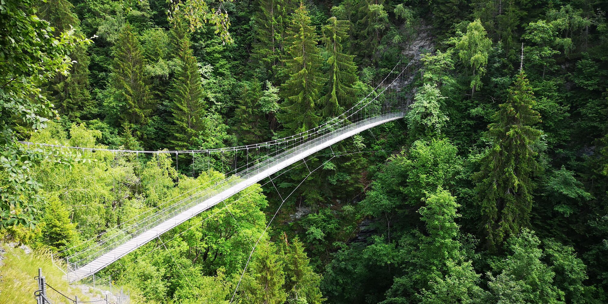
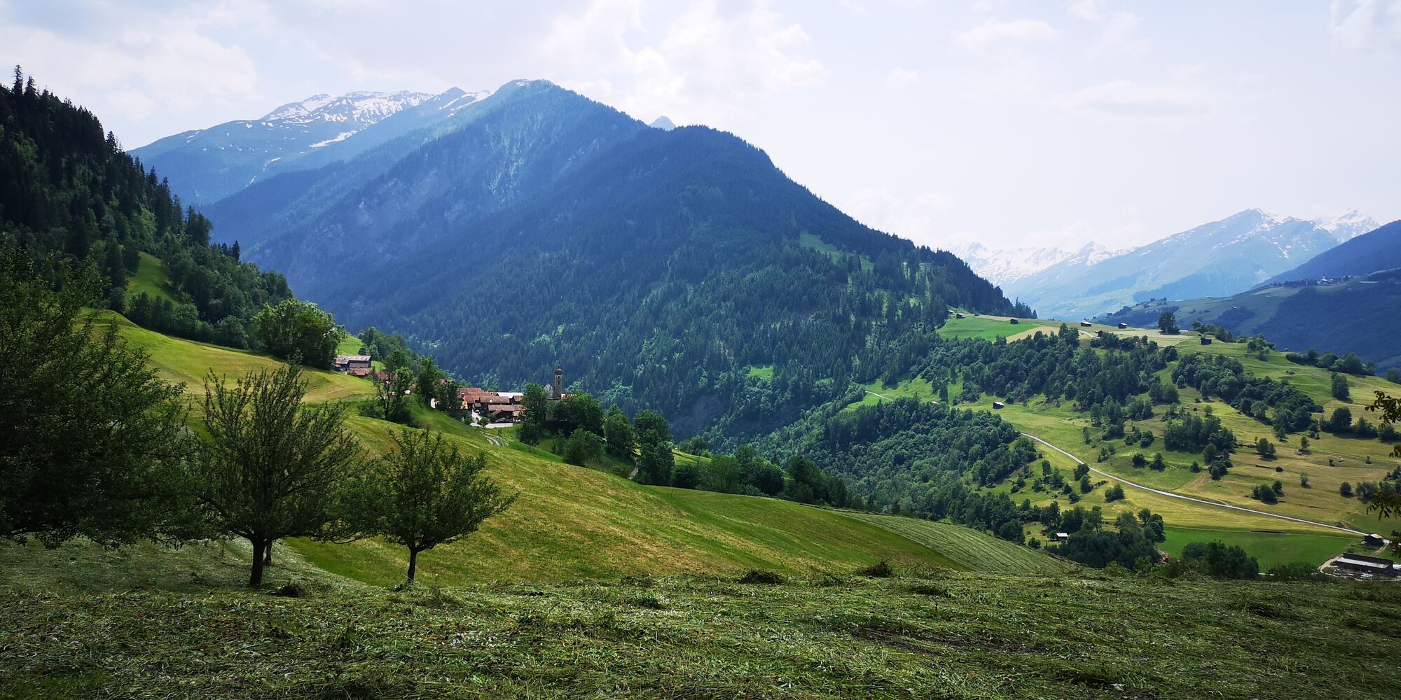
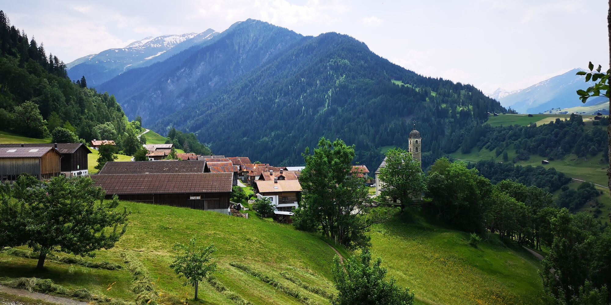
The route starts in Uors at the post bus stop. First, go about 200m along the main road towards Vals. After the bridge at the holy niche, the hiking path to Tersnaus begins. A long ascent leads through...
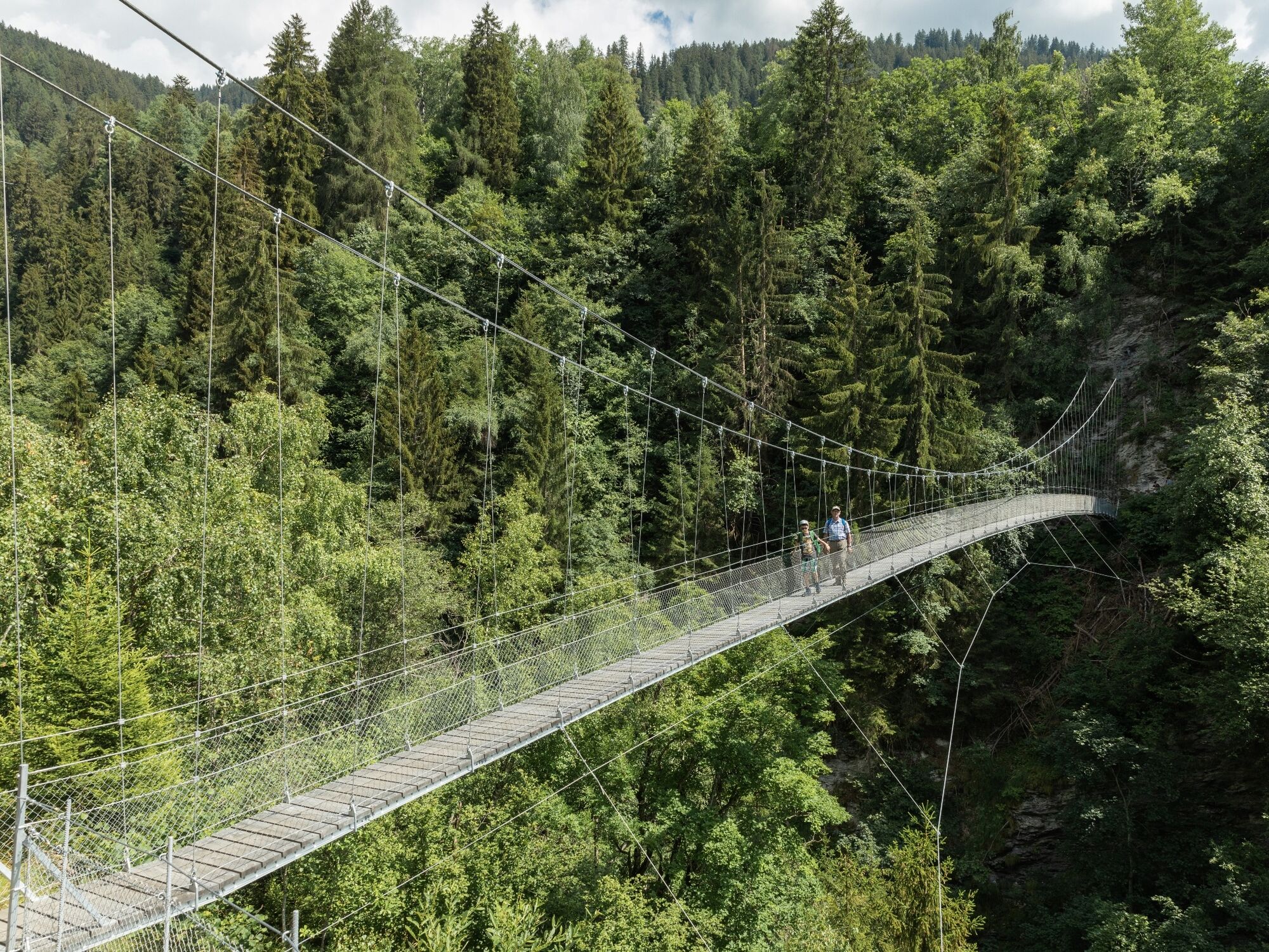
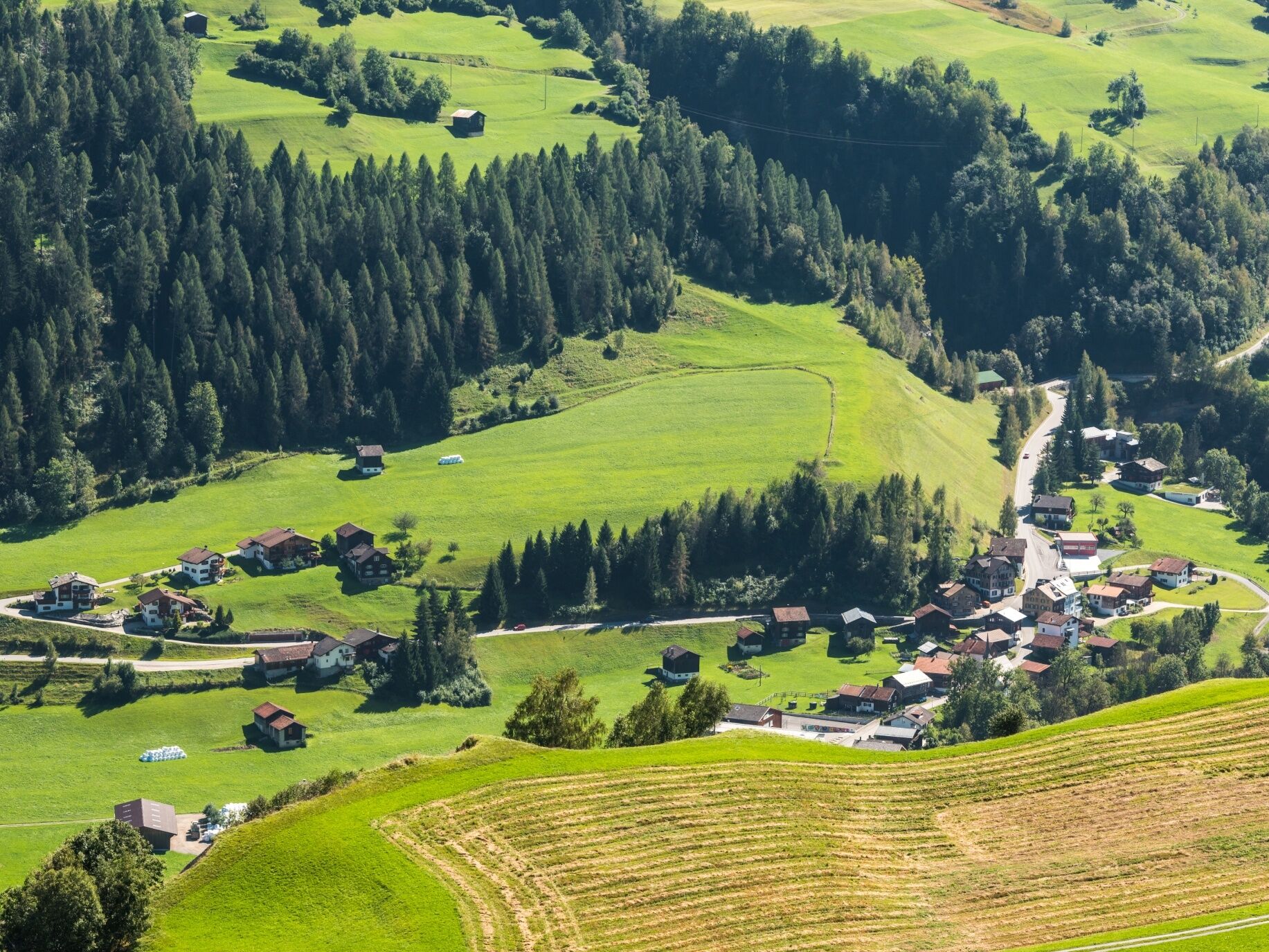
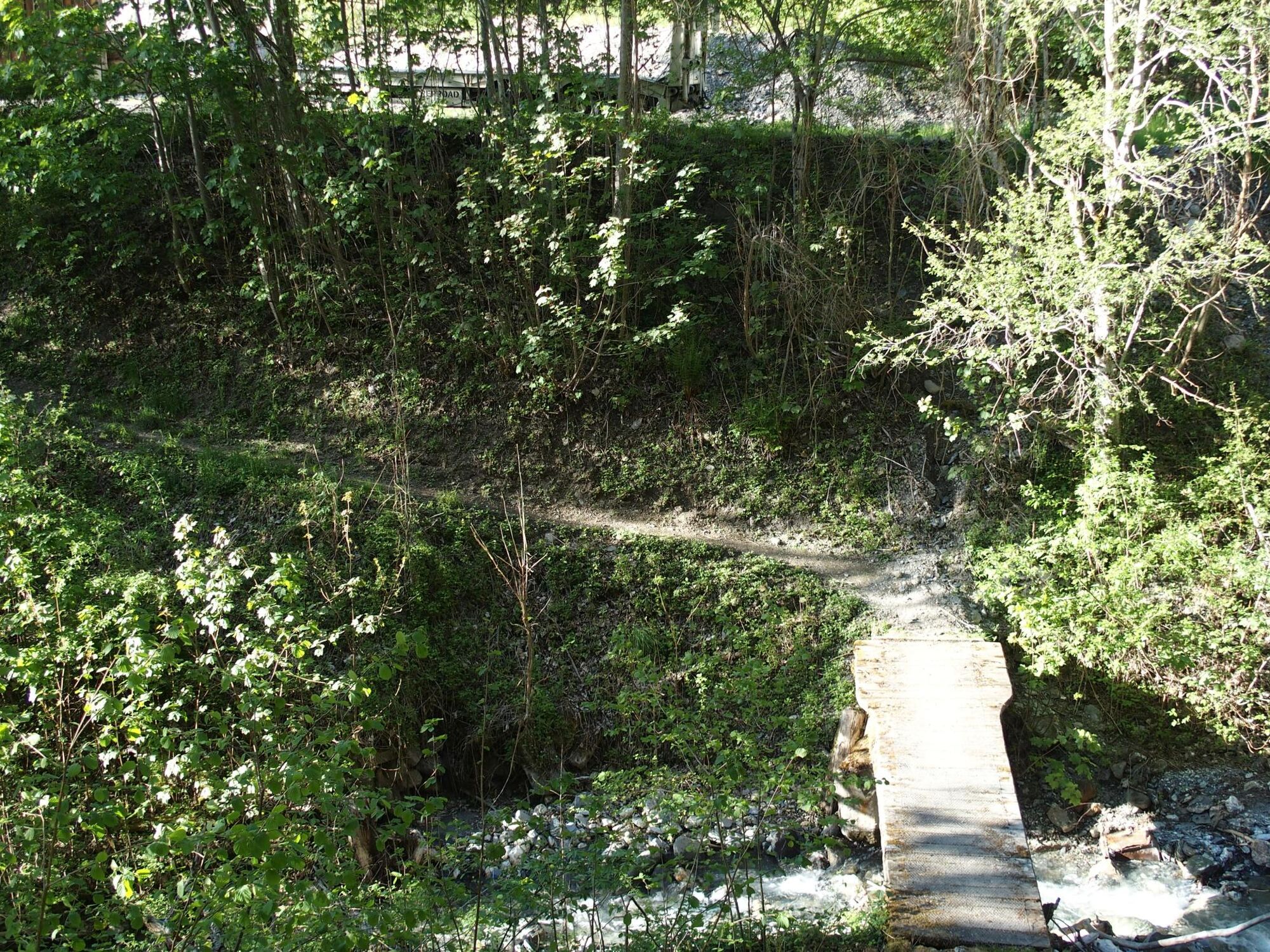
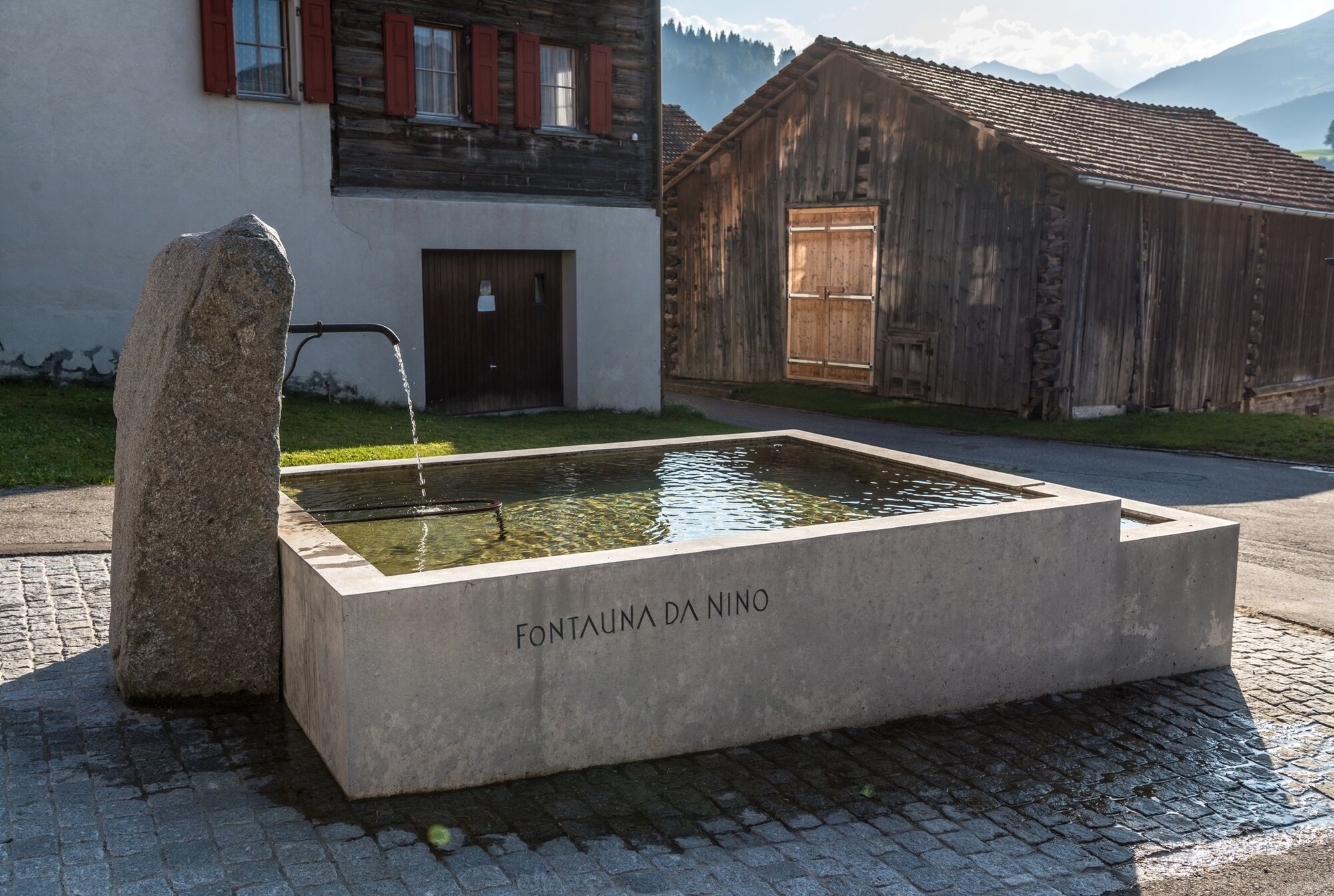
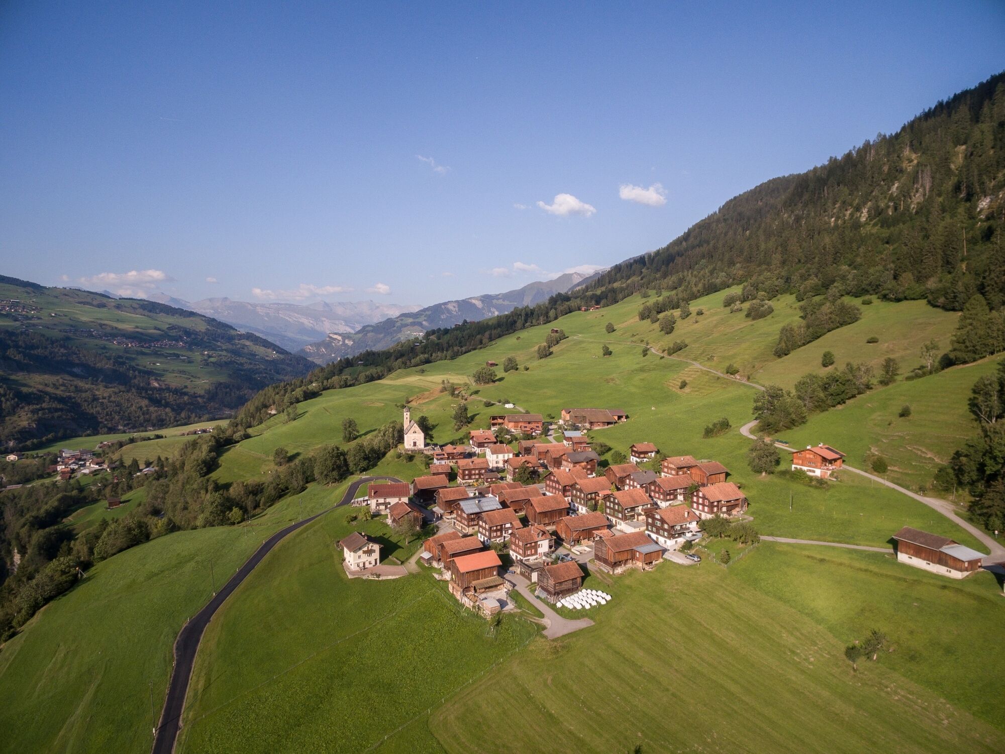
The route starts in Uors at the post bus stop. First, go about 200m along the main road towards Vals. After the bridge at the holy niche, the hiking path to Tersnaus begins. A long ascent leads through the deciduous forest up to the meadows below Tersnaus. There the path joins a farm road that leads into the village. Past the Nino Schurter fountain, continue to the upper edge of the village and then turn left out of the village to the entrance to the suspension bridge. After crossing the impressive suspension bridge, the hiking path winds uphill towards Runs and meets the drainage road a little below the village. From here it goes back down to Uors. After a few meters on the road, the hiking path branches off on the right side. Continue through the forest down to the starting point.




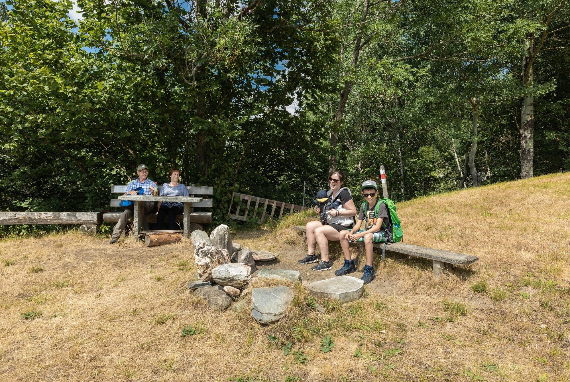

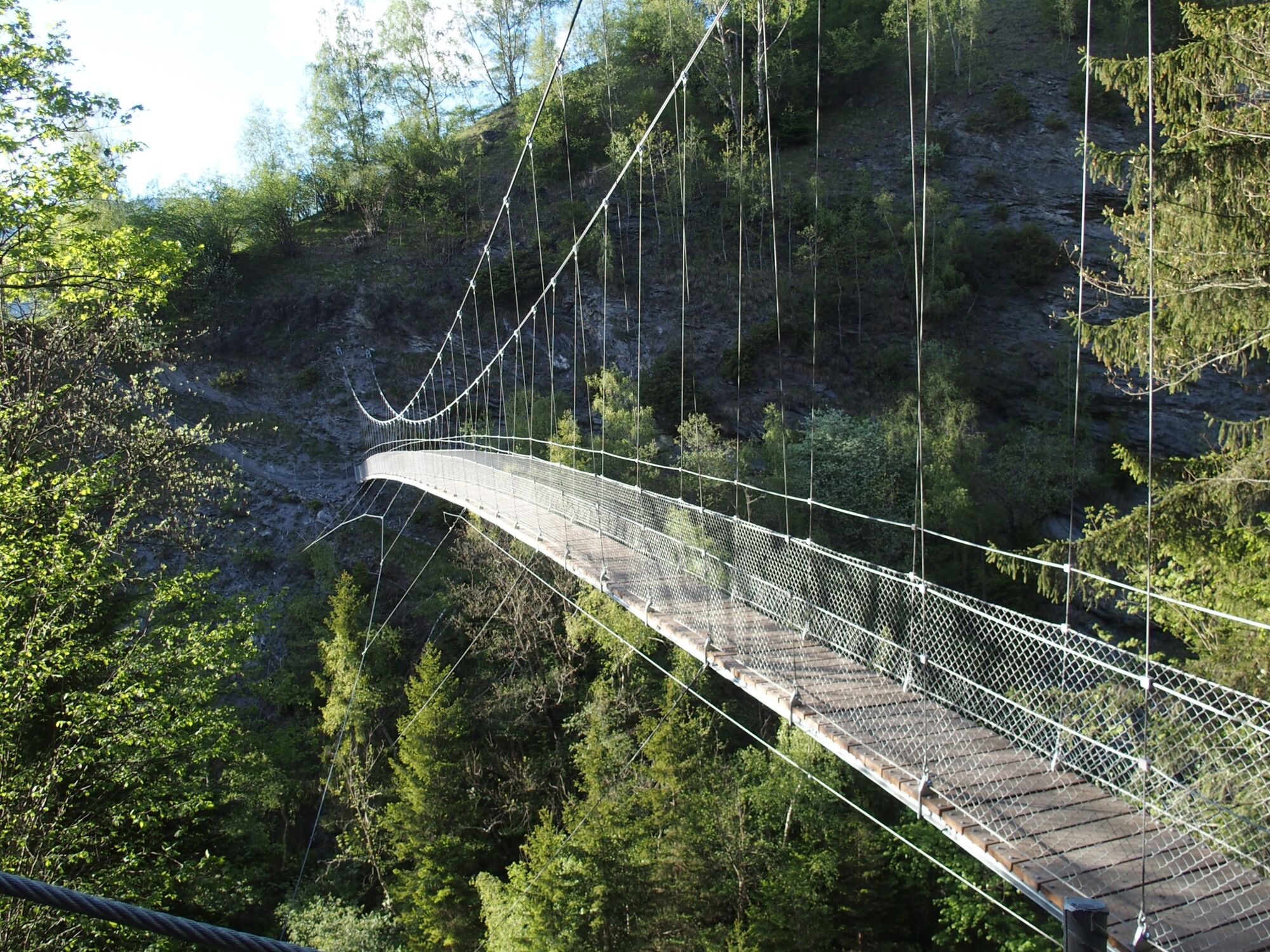
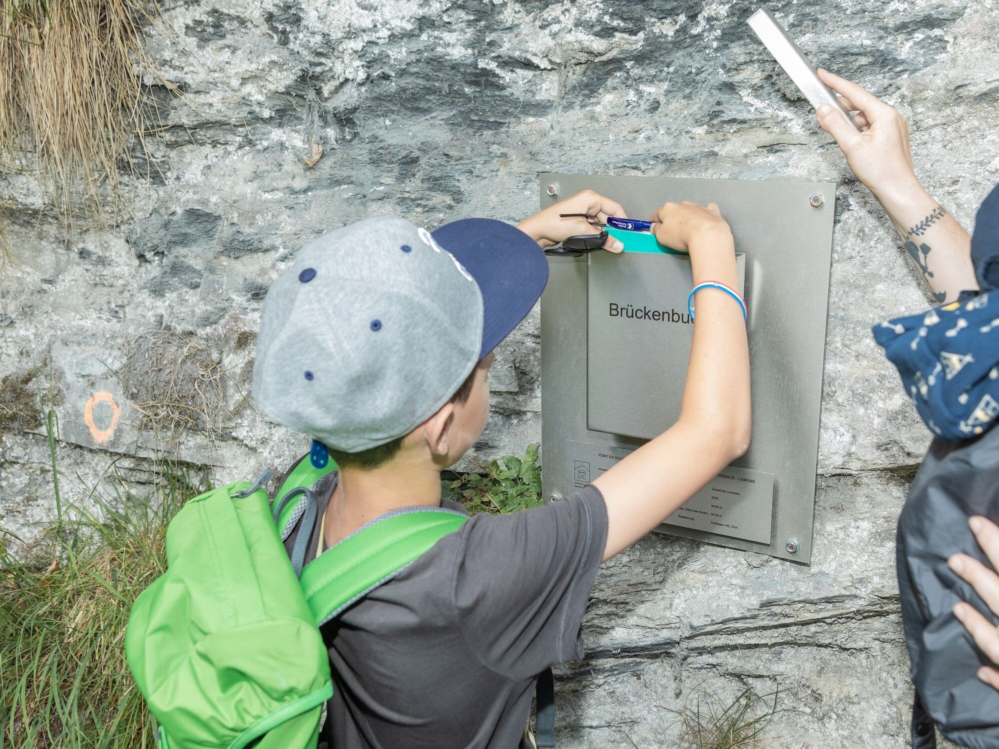


Uors - Tersnaus - Uors
Good hiking shoes with a good tread, weather-appropriate clothing (rain jacket/sun protection), drink, food, first aid kit, possibly hiking poles.
If the weather conditions are uncertain, the route should not be started. Weather changes in the mountains are frequent. If a rain front or something similar approaches during the hike, you should turn back in time.
Via Chur A3/A13 via Flims to Ilanz. From Ilanz, drive towards Vals.
Post bus line 90.431 Ilanz - Vals, stop Uors
Public parking at the edge of the village of Uors (coming from Ilanz) and at the school area.
T2
Place to eat: Uors


Popularne wycieczki w okolicy
-
4,9
Rheinschlucht: From Ilanz to Versam into the heart of the Rheinschlucht
średniWędrówka 11,4 km -
3,8
Circular hike: Falera-Curnius-Alp Dadens-Falera
średniWędrówka 11,4 km -
5,0
Rhine Gorge Circular Hike
średniWędrówka 11,4 km -
5,0
Panorama route
światłoWędrówka 5,39 km -
Piz Fess 2880m, the proud one
ciężkiWędrówka 12,8 km -
4,7
Dutjer Alp - magnificent view
średniWędrówka 8,23 km -
3,3
3-lake hike
średniWędrówka 12,8 km -
Rhine Gorge/Ruinaulta: Ilanz - Reichenau
średniWędrówka 21,2 km -
Panoramic route between Piz Mundaun and Péz Sezner
średniWędrówka 6,75 km -
5,0
Winter hike Gadastatt - Frunt - Zerfreila (Panorama trail)
światłoWędrówka zimą 5,36 km

Wędrówki i tropienie


Nie przegap ofert i inspiracji na następne wakacje
Twój adres e-mail została dodana do listy mailingowej.





