






Dachlisee circular route

Poziom trudności: S1
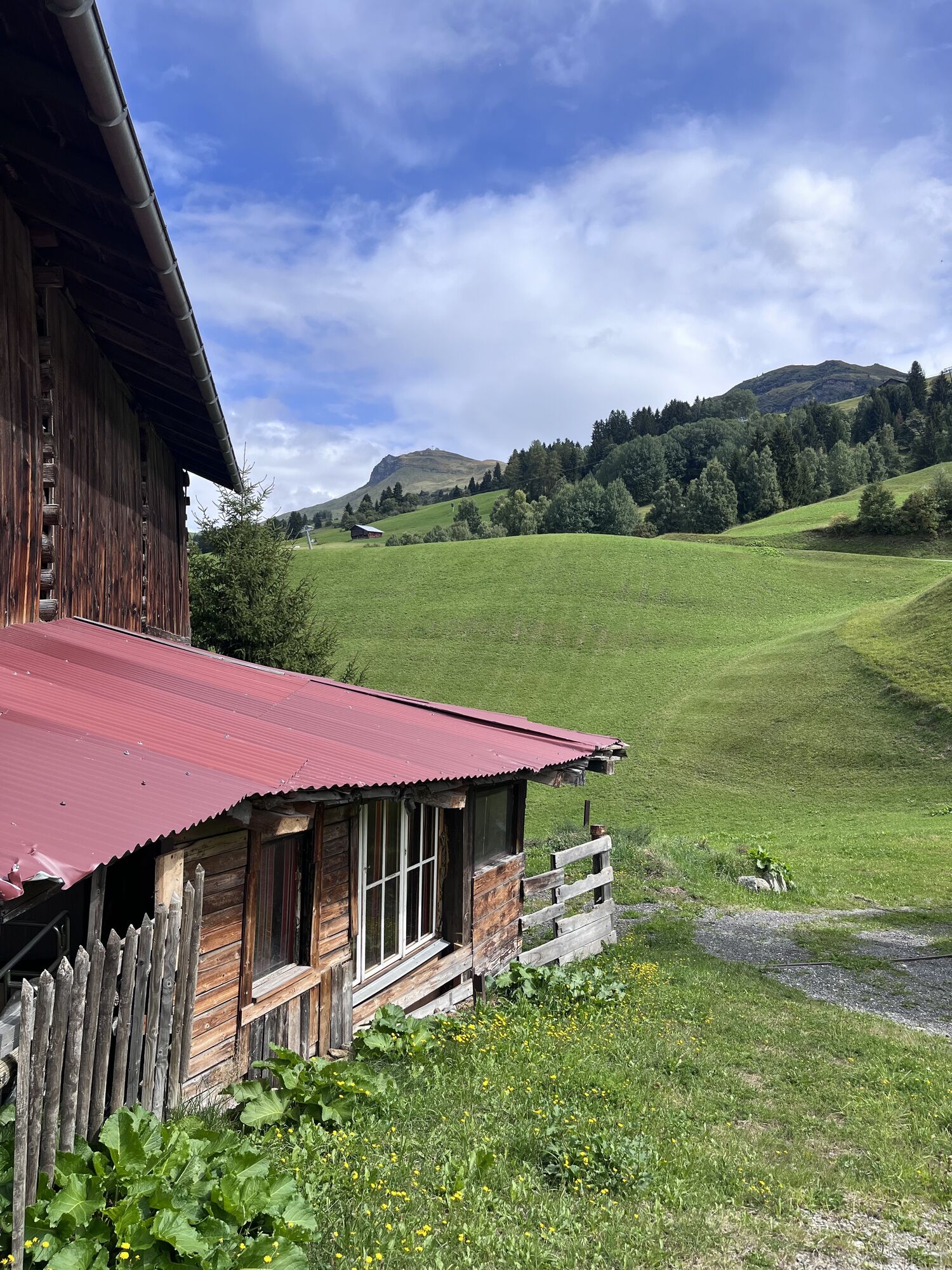
The start is in Obersaxen Chummenbühl. Once in the saddle, you can already ride down a first easy singletrail to Markal. Then it goes steadily uphill via Meierhof to Miraniga. Now you rush over side roads...
The start is in Obersaxen Chummenbühl. Once in the saddle, you can already ride down a first easy singletrail to Markal. Then it goes steadily uphill via Meierhof to Miraniga. Now you rush over side roads across the language border to Surcuolm.
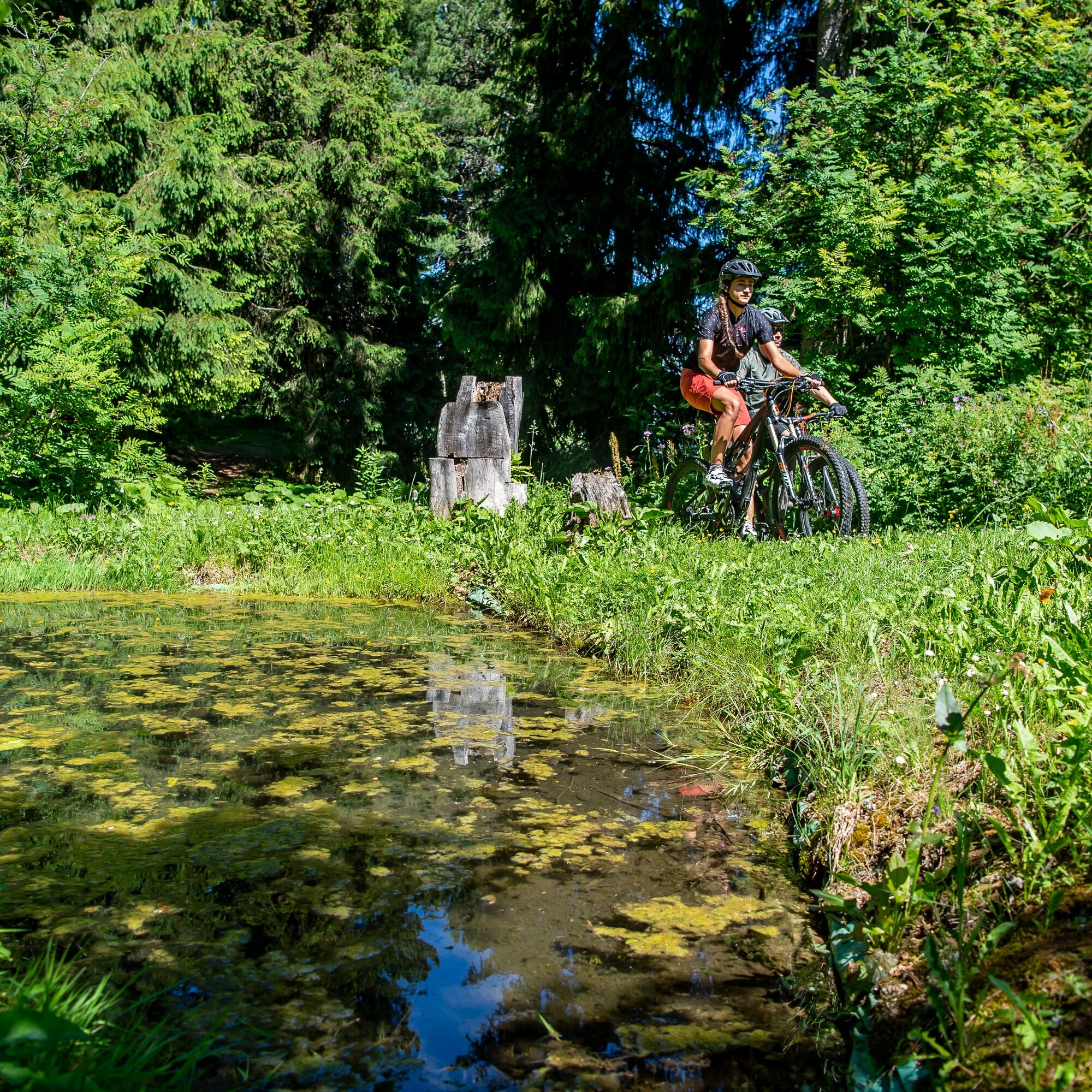
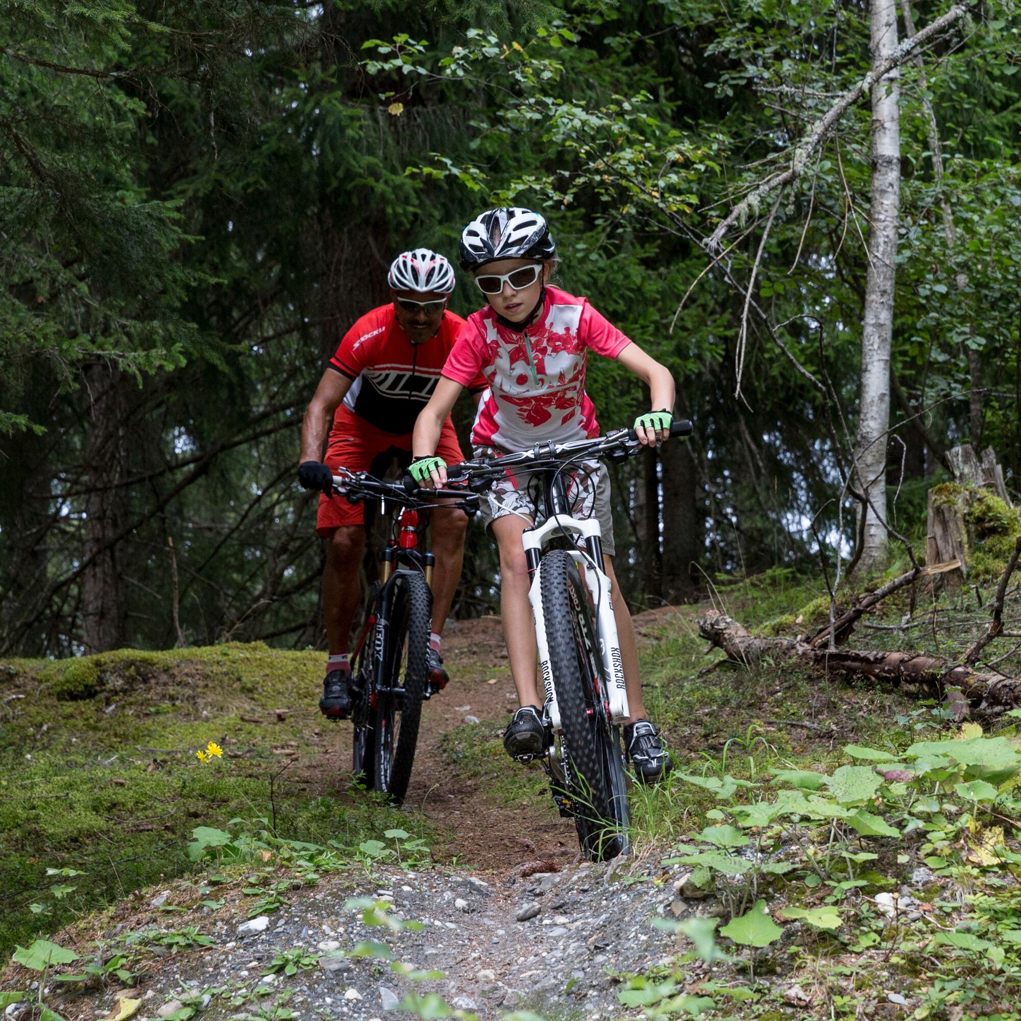
The now following fun descent takes you over forest roads and flowy singletrails down to Flond. From Flond, we show you a nice loop – with a short and steep ascent and a short and well-ridable short trail. Soon the route branches off at the key point of the whole route. Most bikers will ride here. Those who push don’t have to do it for long. On arrival at Dachlisee, the fire pit invites you to linger. You are now at the lowest point and must crank back up to the destination in Chummenbühl.
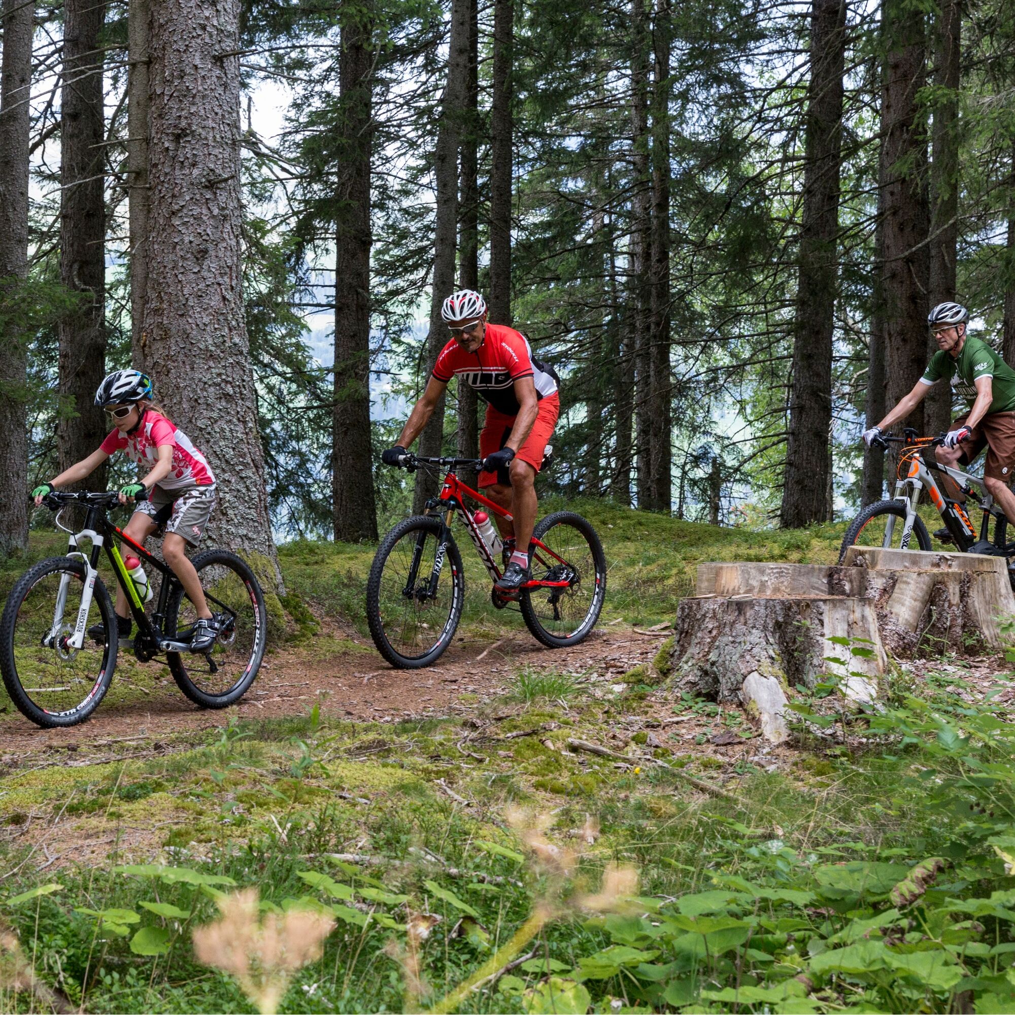
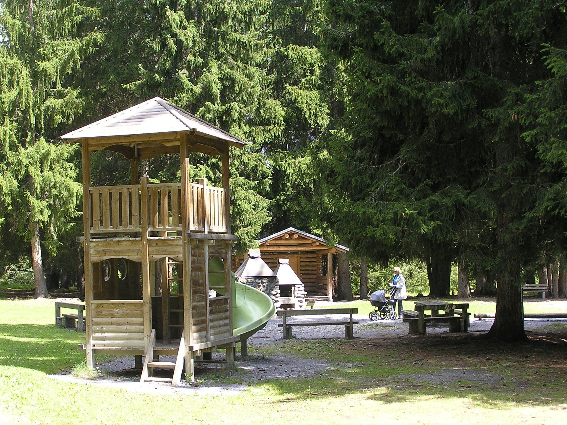
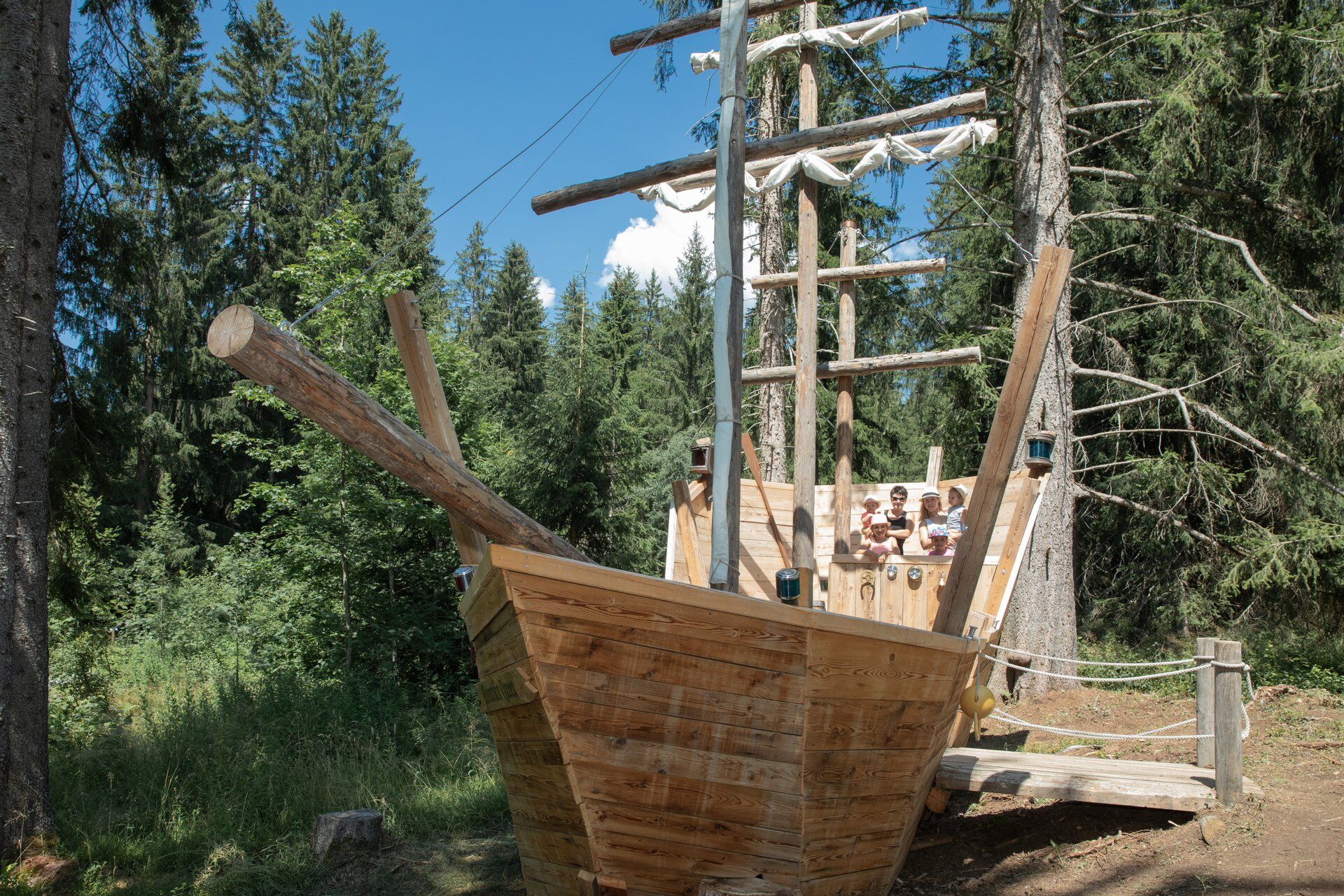
Shortly before the destination, next to the fire pit and the children's playground, is the Pifal bike circuit with banked turns, jumps, rock garden as well as waves and hollows. Let your inner child out and enjoy the little fun.

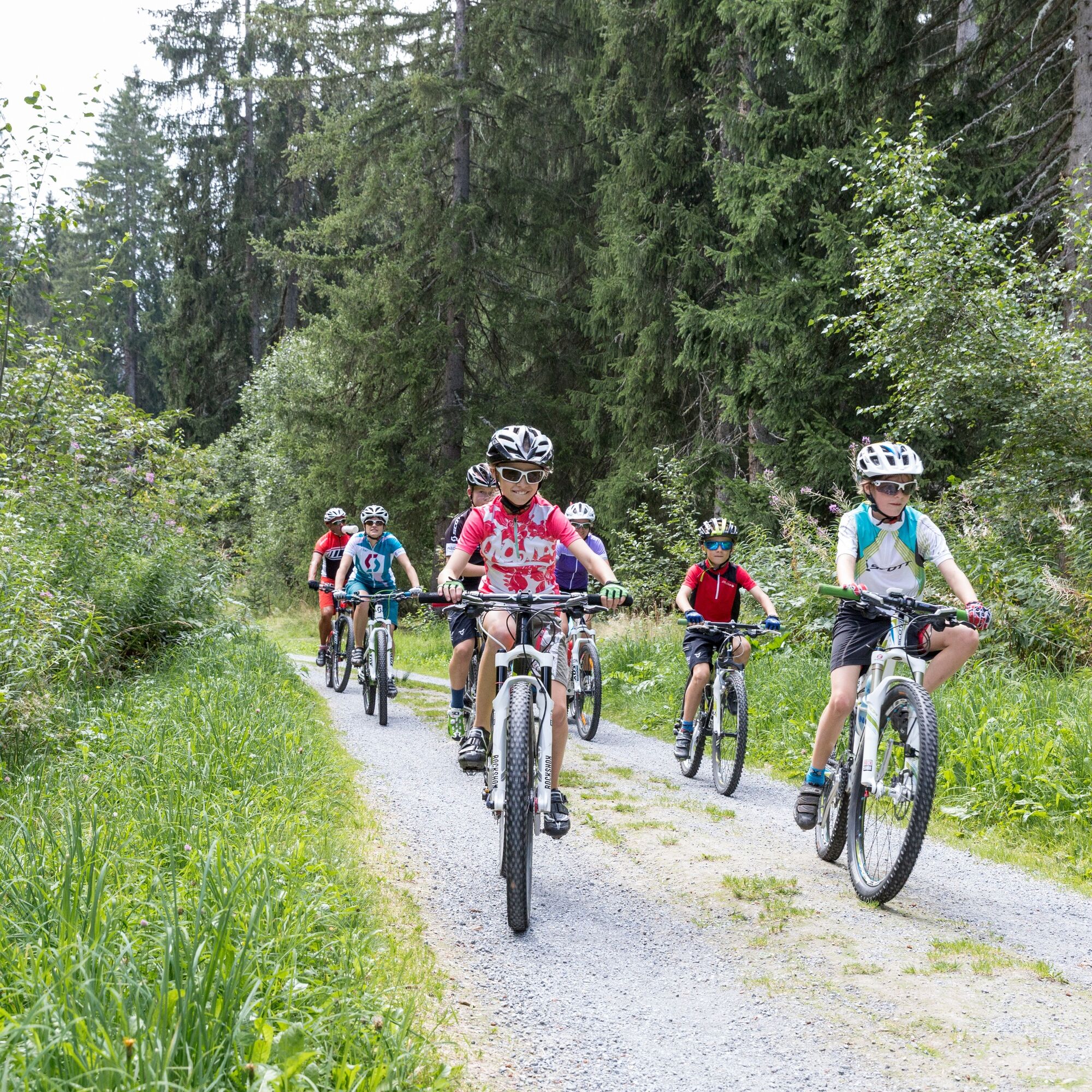
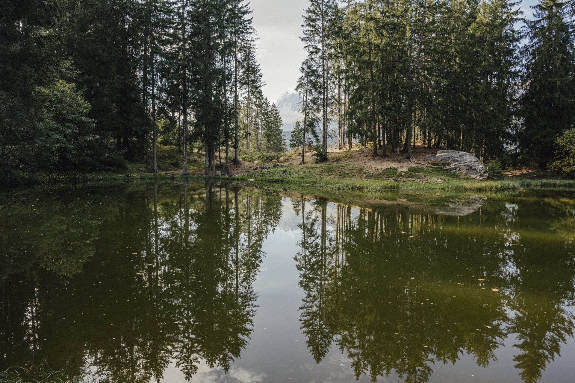
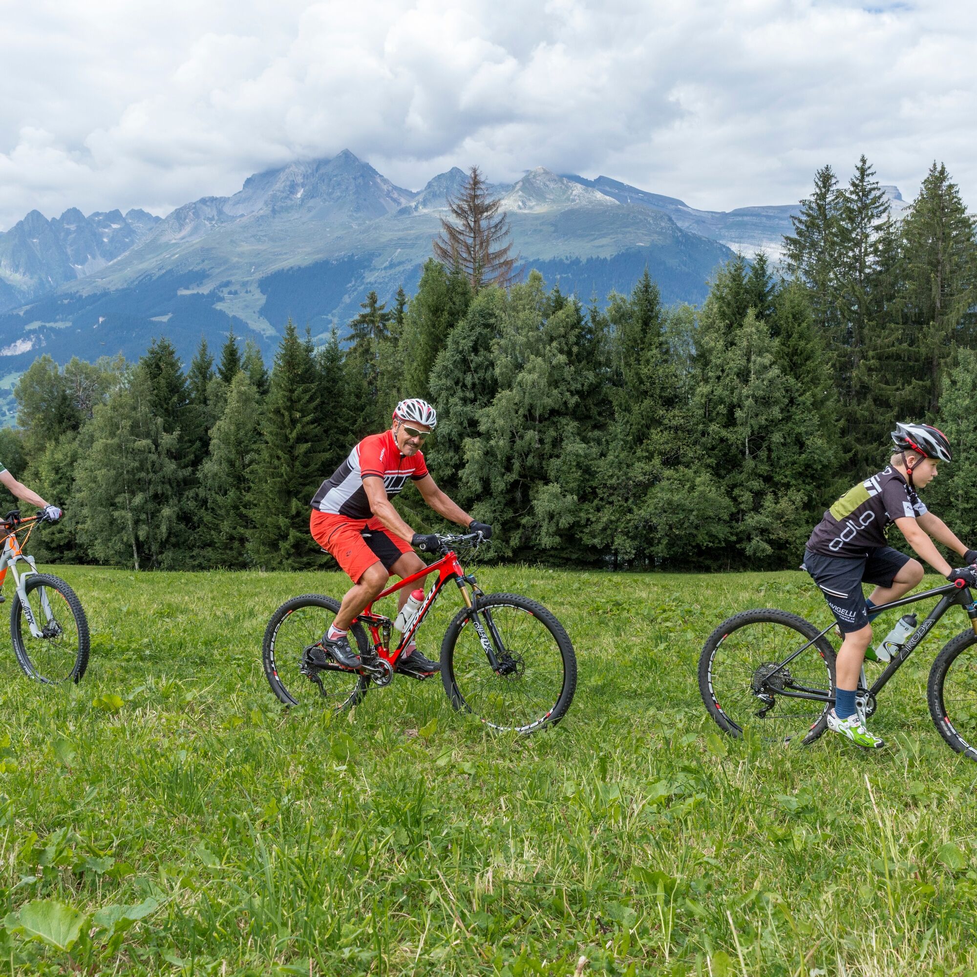

Chummenbühl - Meierhof - Misanenga - Platenga - Surcuolm - Flond - Valata - Dachlisee - Affeier - Pifal - Chummenbühl
Tak
MTB, helmet, gloves, good footwear, glasses, rain and sun protection, drink, repair kit, first aid kit
The route should not be started in uncertain weather conditions. Weather changes in the mountains are frequent. If a rain front or similar arrives during the route, you should turn back in time.
Respect other trail users - trail tolerance!
From Ilanz via Flond and Affeier to Chummenbühl.
Or from Disentis, Tavanasa via Axastai and Meierhof to Chummenbühl.
By post bus from Ilanz to Obersaxen, Chummenbühl
In Chummenbühl at the ski lift parking lot
S1
On the last kilometer through the Pifal forest, the fire pit and the children's playground are suitable for a short break.
In Miraniga, you can deviate slightly from the route and cool your feet in the bathing lake at Rufalipark or surprise the kids with a large playground.
Behind Surcuolm, you ride past farm shops. There is always something for friends of local specialties.
Kamery internetowe z trasy

Popularne wycieczki w okolicy
-
4,9
Rheinschlucht: From Ilanz to Versam into the heart of the Rheinschlucht
średniWędrówka 11,4 km -
4,4
4-lake hike: Caumasee - Crestasee - Felsbach Gorge
ciężkiWędrówka 13,3 km -
4,7
Rhine Gorge Hike: Senda Ruinaulta (659)
światłoWędrówka 9,39 km -
5,0
Lower Segnesboden: Nagens Sura - Lower Segnesboden - Segnes hut - Alp Nagens
średniWędrówka 6,66 km -
4,7
The Water Trail: Trutg dil Flem 764
ciężkiTrasa tematyczna 8,56 km -
5,0
High valley Val Frisal
ciężkiWędrówka 12,4 km -
5,0
Caumasee tour: Flims - Caumasee - Conn - Flims
światłoWędrówka 7,94 km -
4,3
Historic Pinut via ferrata
średniVia ferrata 5,82 km -
3,8
Circular hike: Falera-Curnius-Alp Dadens-Falera
średniWędrówka 11,4 km -
5,0
Rhine Gorge Circular Hike
średniWędrówka 11,4 km
Wędrówki i tropienie


Nie przegap ofert i inspiracji na następne wakacje
Twój adres e-mail została dodana do listy mailingowej.





