







259 Cuolm Sura (Signina Bike)
Poziom trudności: S1
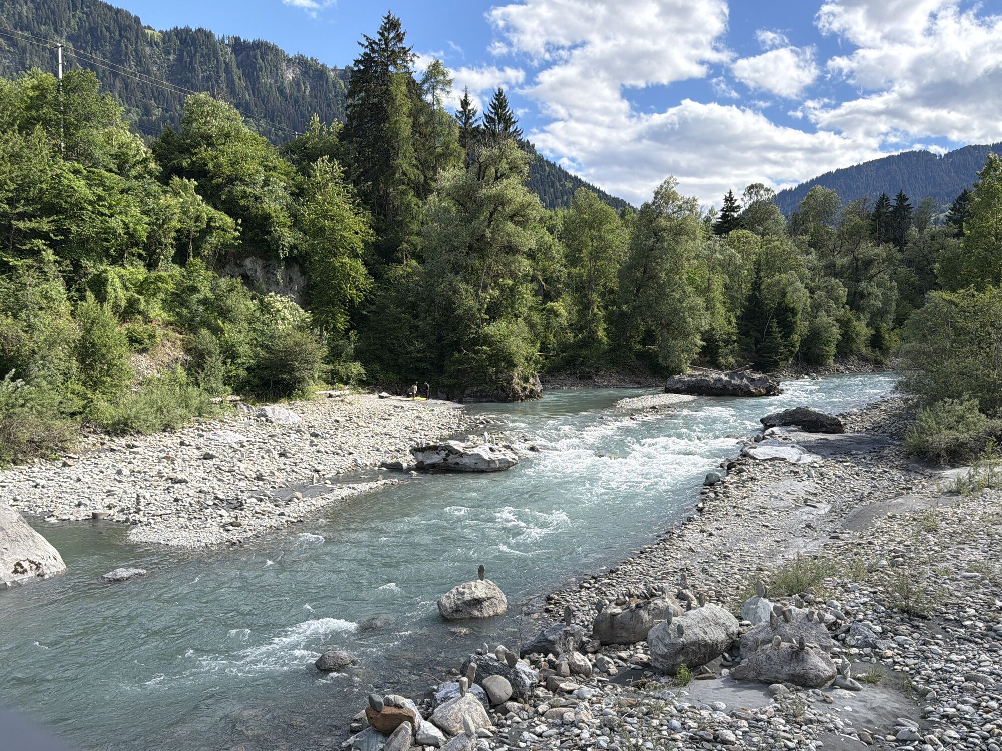
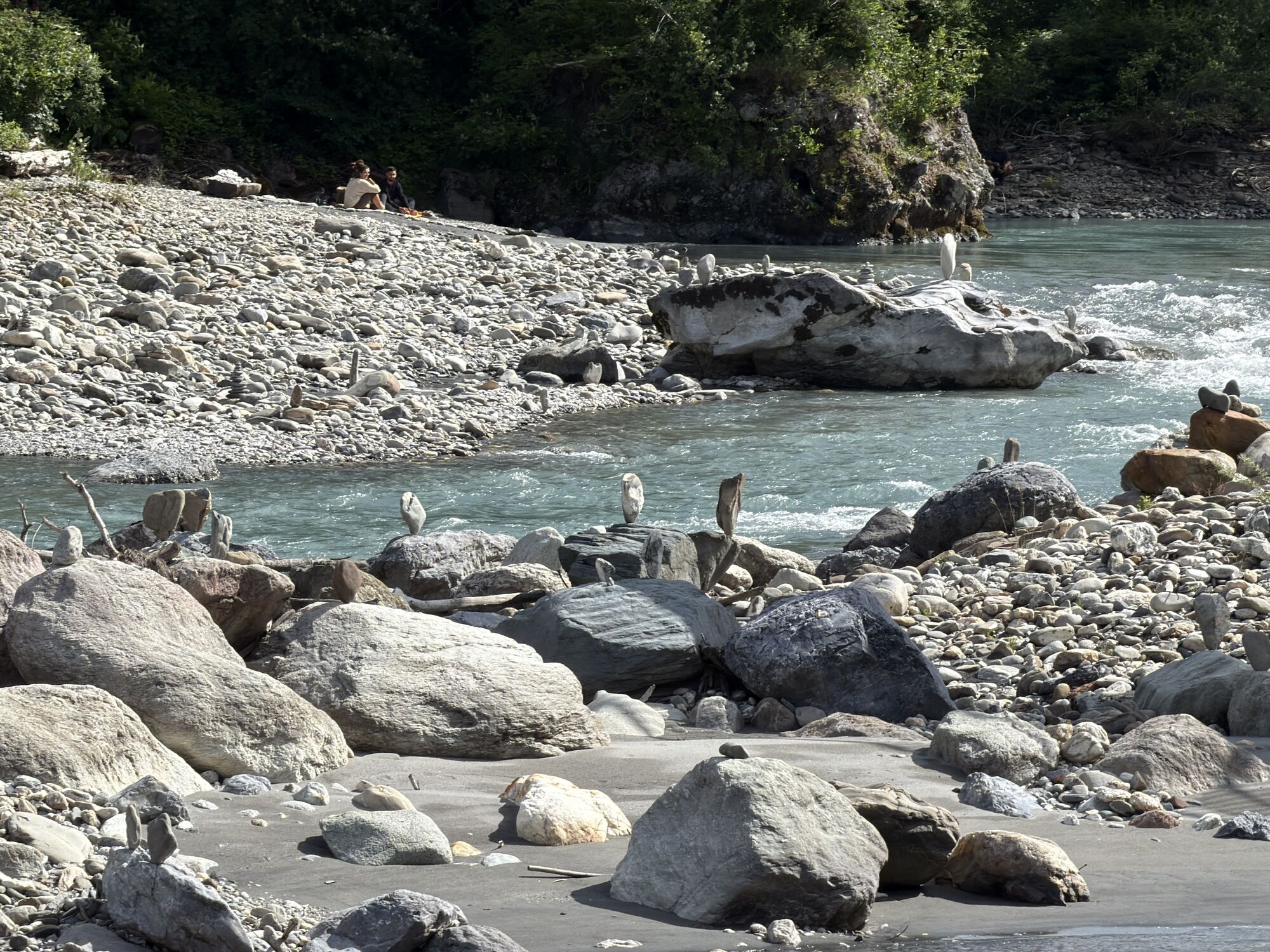
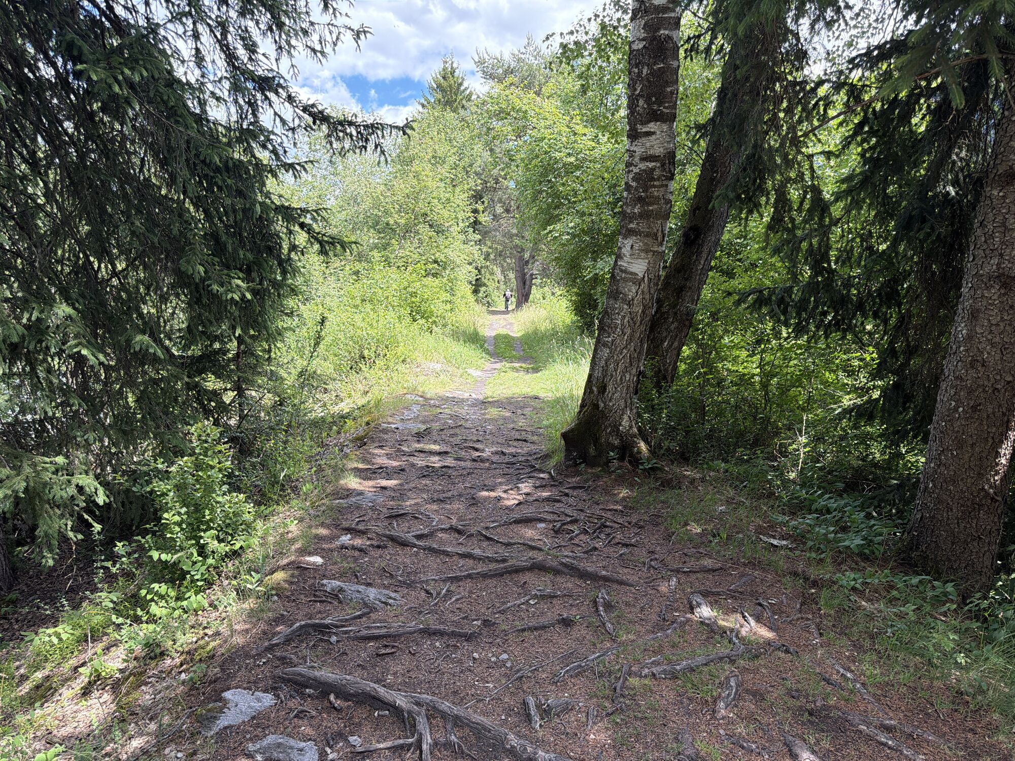
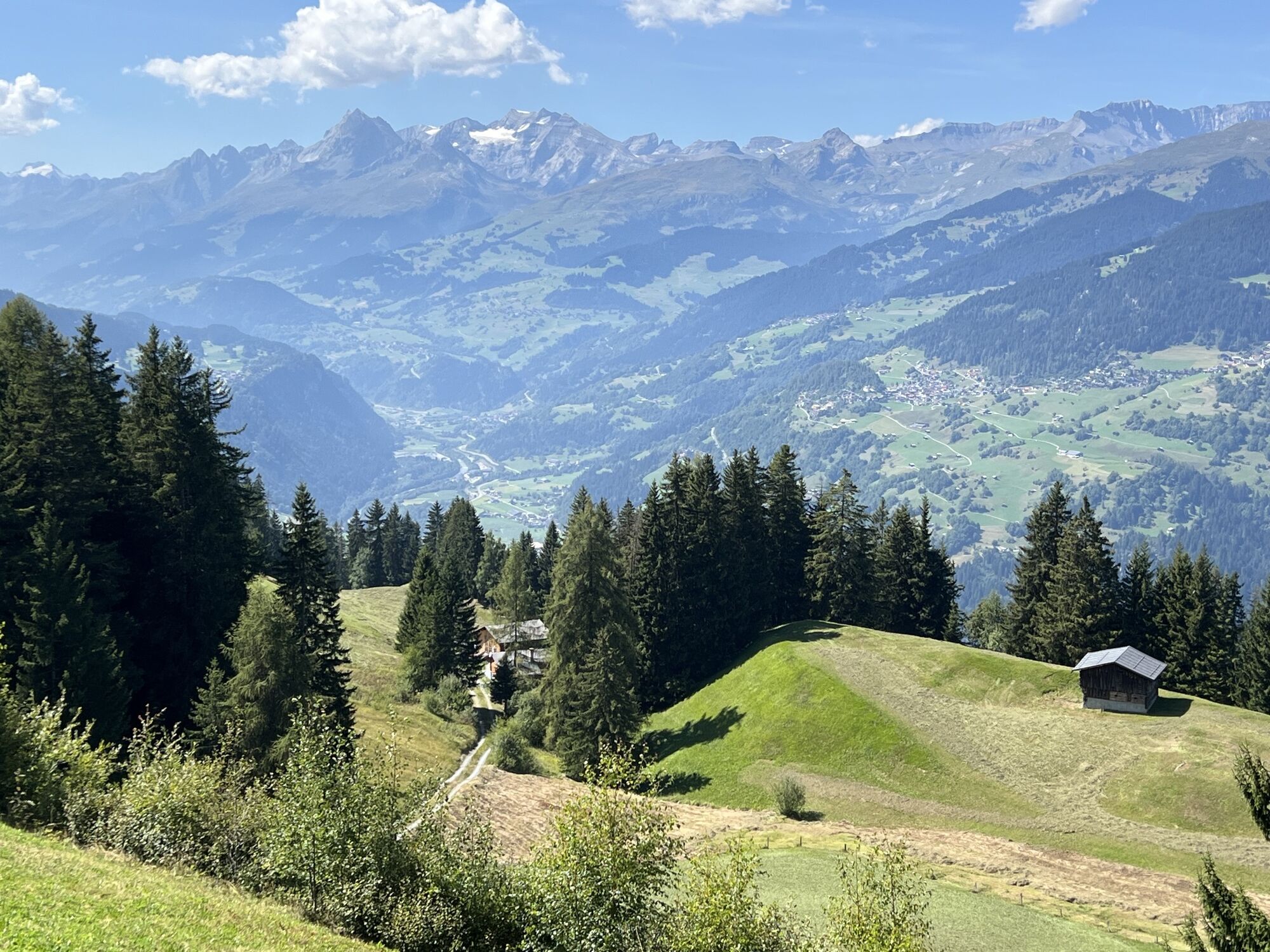
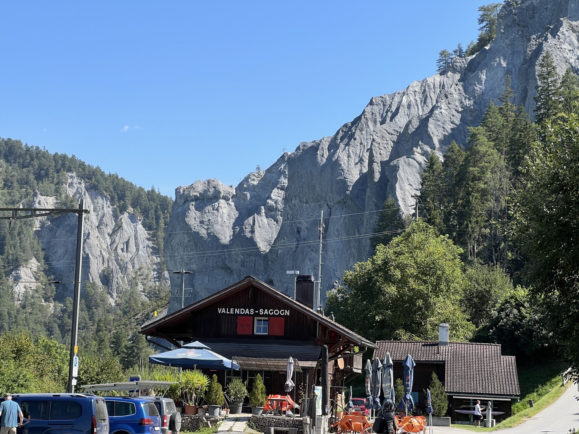

From Ilanz, the route follows the young Rhine via Schluein to Sagogn. In Sagogn, it goes down to the Rhine along the forest road. At the Valendas / Sagogn train station, you reach the lowest point of the...
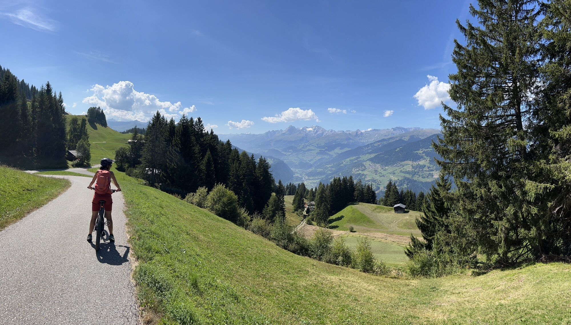
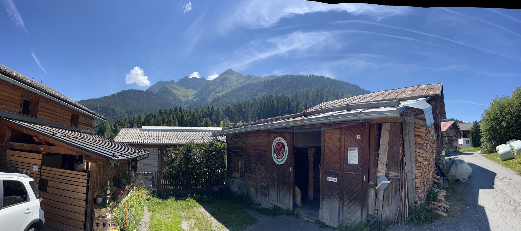
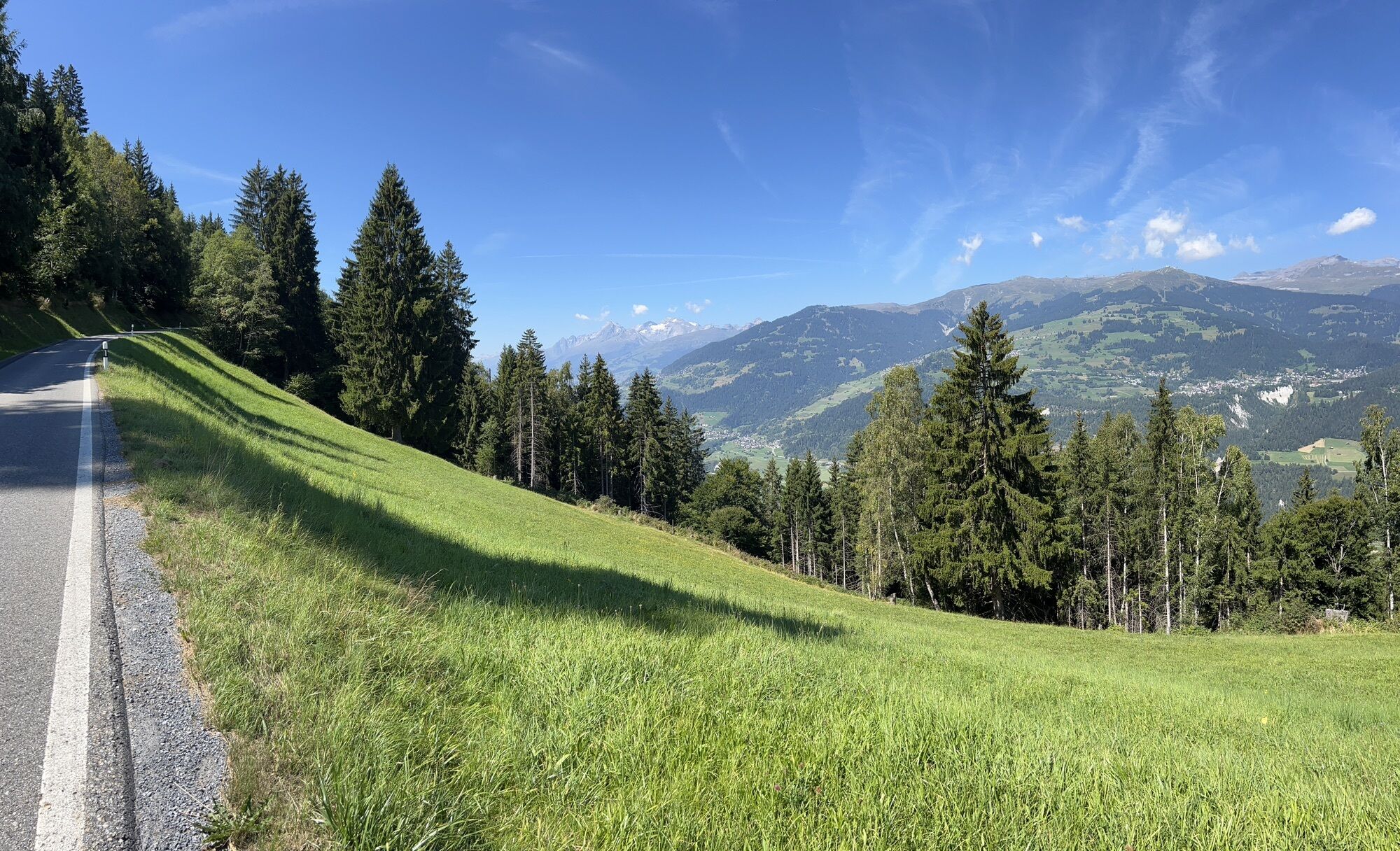
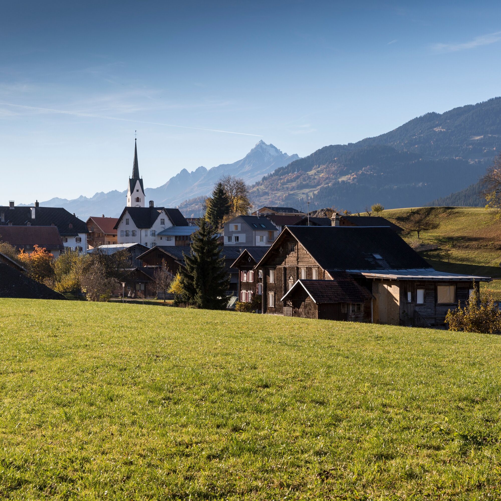
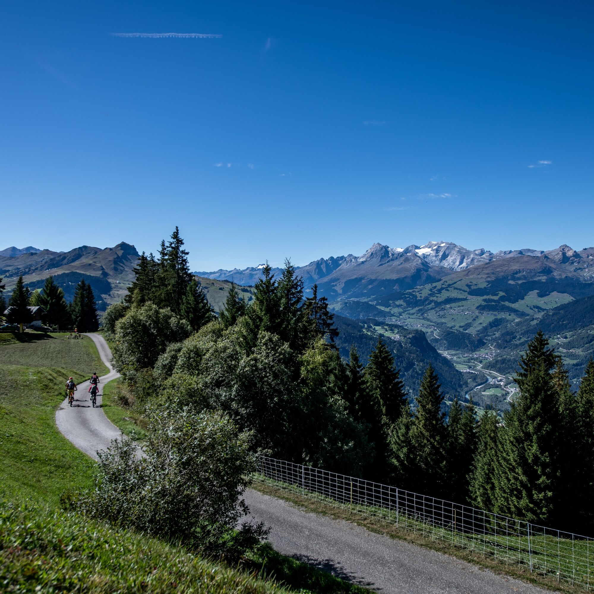
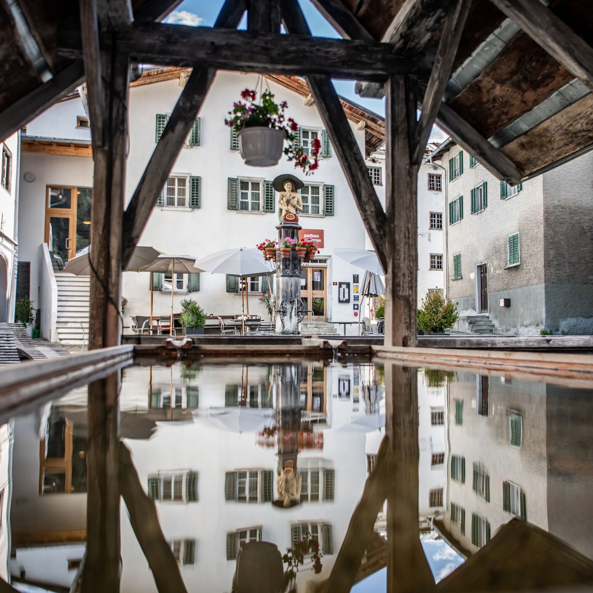
From Ilanz, the route follows the young Rhine via Schluein to Sagogn. In Sagogn, it goes down to the Rhine along the forest road. At the Valendas / Sagogn train station, you reach the lowest point of the route. Then you tackle the climb to Dutjen. The path leads through Valendas with the largest wooden fountain in Europe and many well-preserved noble houses from the 17th century. The ascent is on a lightly trafficked asphalt road. The hamlets Unterdutje and Oberdutje all still belong to Valendas. At the highest point Cuolm Sura, you are rewarded with a unique view of Val Lumnezia and the whole Graubünden highlands and the Rhine Gorge. Additionally, you will be rewarded with a view of a beautiful high moor, which lies between many small scattered mountain farms. A long descent over simple roads and an easy section of singletrail leads through Riein and Sevgein back to Ilanz.
The route is gradually being marked with the name "Signina Bike".

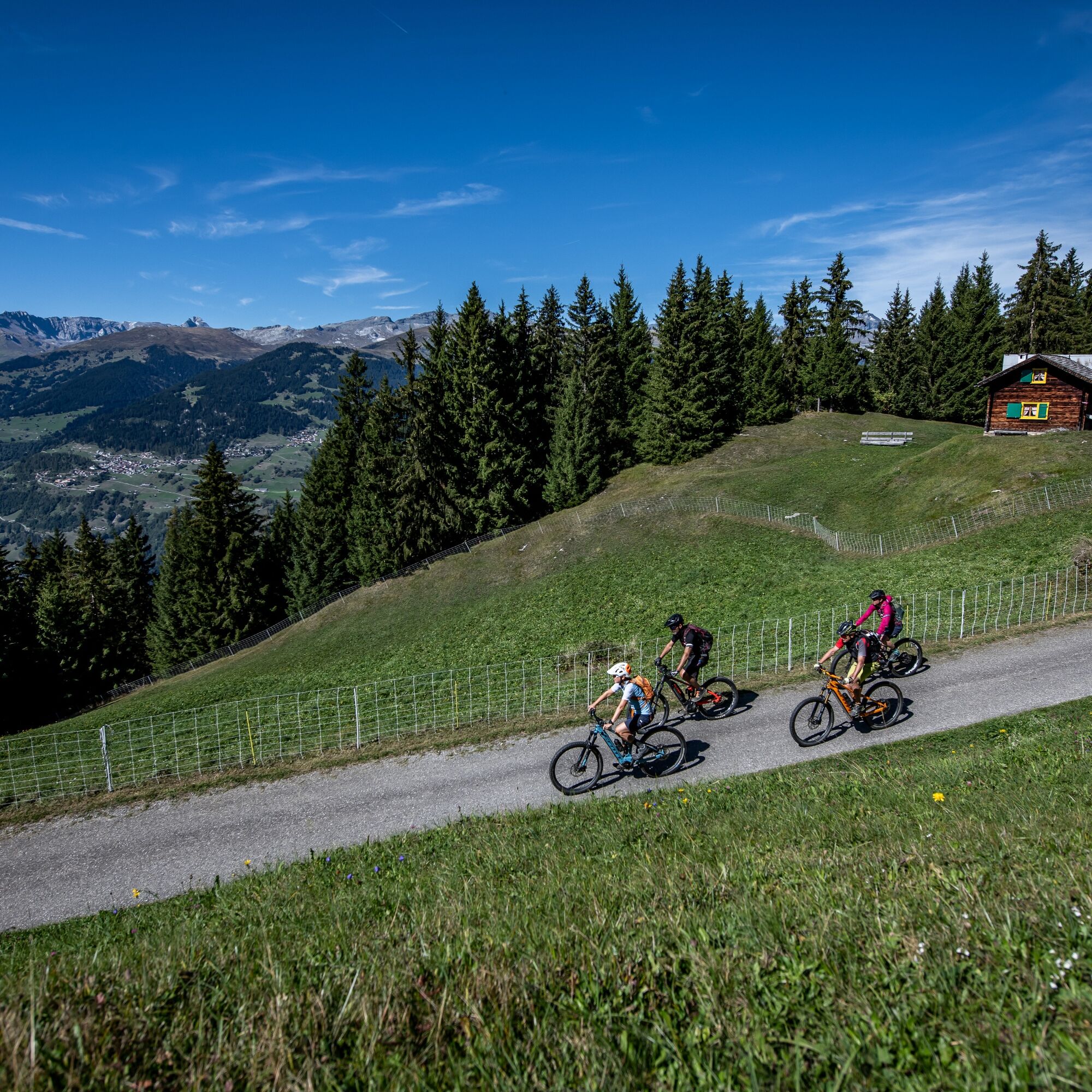
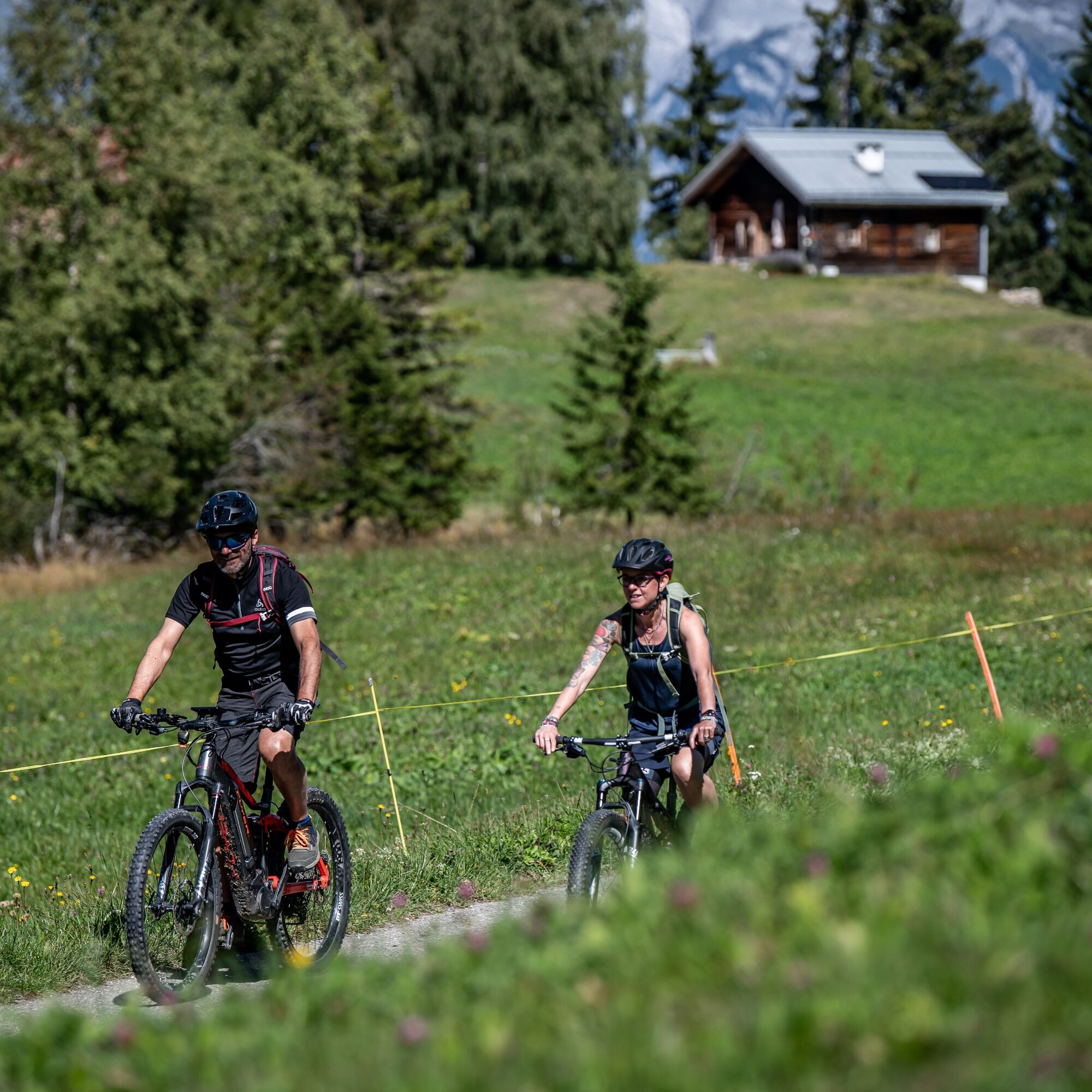


From Ilanz train station, follow the bike route sign «Route No. 259». The route is gradually being marked with the name "Signina Bike".
Ilanz - Schluein - Sagogn - Valendas train station - Valendas - Dutjen - Raveras - Riein - Sevgein - Ilanz
Tak
MTB, helmet, possibly gloves, good footwear, glasses, rain and sun protection, water bottle, repair kit, first aid kit.
Do not start the route in uncertain weather conditions. Weather changes are common in the mountains. If a rain front or similar arises during the tour, you should turn back in good time.
Take the A13 to Reichenau, then via main road 19 through Flims to Ilanz.
From the capital of the canton of Graubünden, Chur, take the Rhaetian Railway through the spectacular Rhine Gorge to Ilanz.
www.sbb.ch
Parking options at Ilanz train station.
S1
Surselva Tourism AG
Bahnhofstrasse 25
CH-7130 Ilanz
Tel.: 0041 81 920 11 00
Email: ilanz@surselva.info
Website: www.surselva.info
Points of interest:
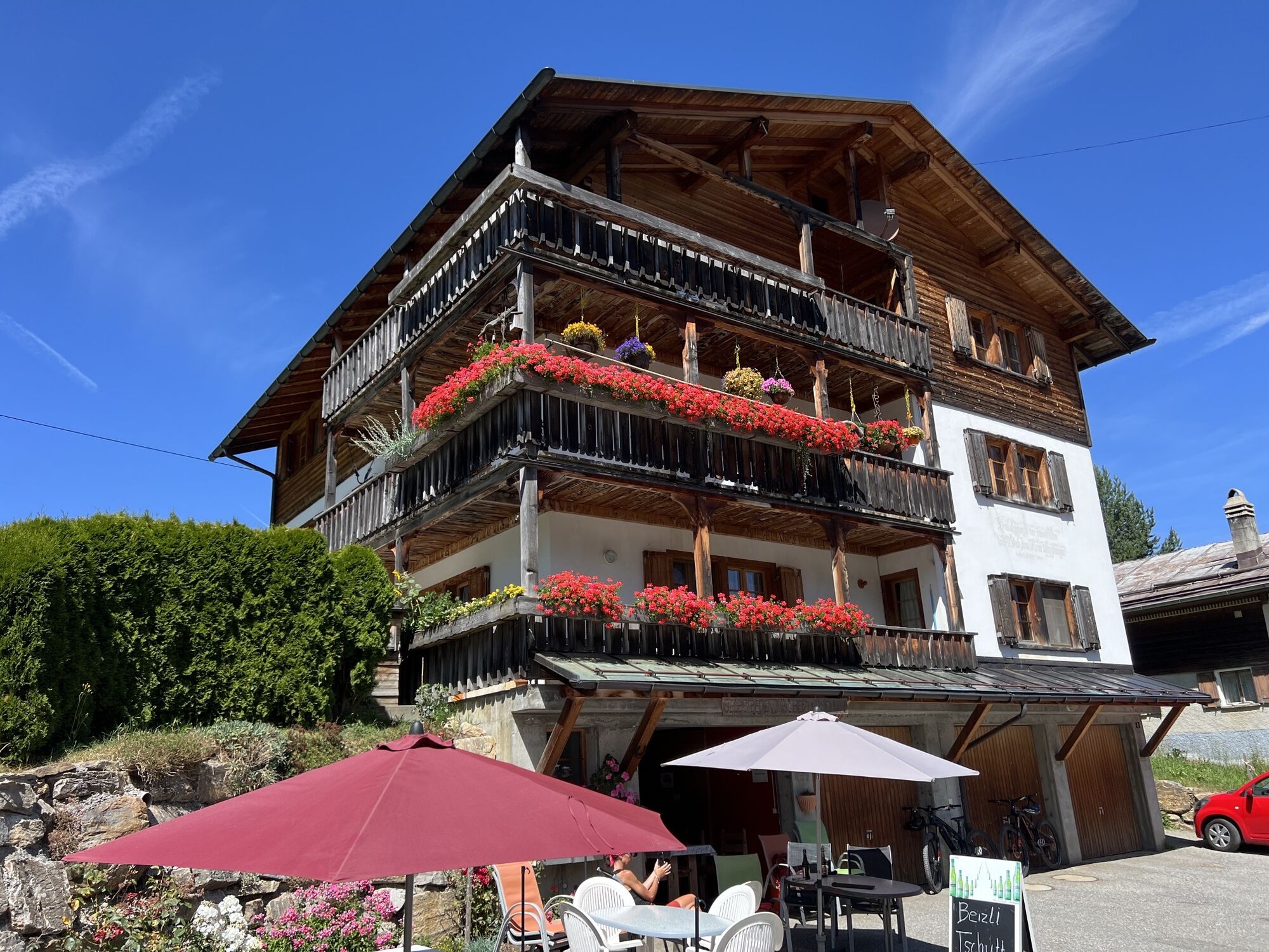
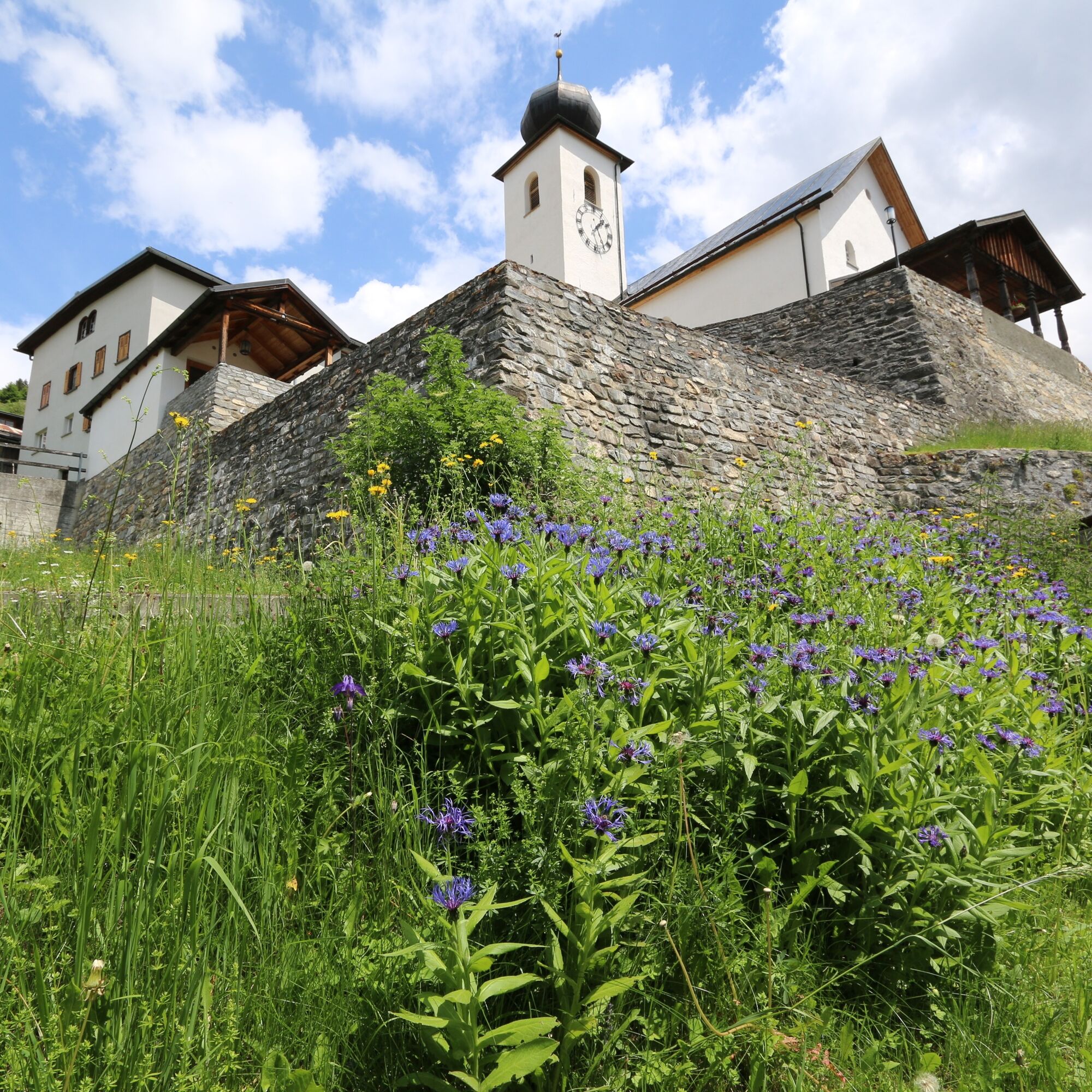
Türalihuus Valendas from the year 1485 Wooden fountain in Valendas Evangelical church Riein from the 15th century Pilgrimage chapel to the Holy Grave in SevgeinTrain station café in Valendas/Sagogn and cheese self-service café in Oberdutjen.
Uzyskaj wgląd
Zawsze na żywo z ponad 9 500 kamer internetowych. bergfex Jako użytkownik Pro, możesz teraz zobaczyć odpowiednie kamery internetowe dla wielu wycieczek w aplikacji wycieczki od. Pozwala to na bezpośredni podgląd aktualnych warunków.

Popularne wycieczki w okolicy
-
4,9
Rheinschlucht: From Ilanz to Versam into the heart of the Rheinschlucht
średniWędrówka 11,4 km -
4,4
4-lake hike: Caumasee - Crestasee - Felsbach Gorge
średniWędrówka 12,8 km -
4,8
Rhine Gorge Hike: Senda Ruinaulta (659)
światłoWędrówka 9,39 km -
4,8
Mountain hike to the Strudeltöpfe on Alp Mora: Bargis-Trin
ciężkiWędrówka 18 km -
4,7
The Water Trail: Trutg dil Flem 764
ciężkiTrasa tematyczna 8,56 km -
5,0
Caumasee tour: Flims - Caumasee - Conn - Flims
światłoWędrówka 7,94 km -
5,0
Lower Segnesboden: Nagens Sura - Lower Segnesboden - Segnes hut - Alp Nagens
średniWędrówka 6,66 km -
4,3
Historic Pinut via ferrata
średniVia ferrata 5,82 km -
4,3
Circular hike: Falera-Curnius-Alp Dadens-Falera
średniWędrówka 11,4 km -
5,0
Rhine Gorge Circular Hike
średniWędrówka 11,4 km
Wędrówki i tropienie


Nie przegap ofert i inspiracji na następne wakacje
Twój adres e-mail została dodana do listy mailingowej.





