






Vorab Trail Tour

Poziom trudności: S3
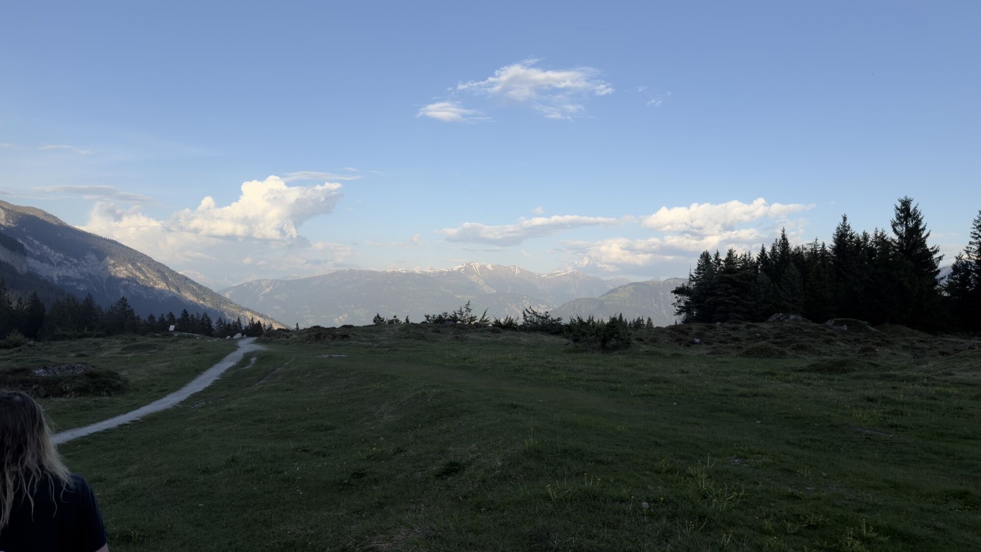
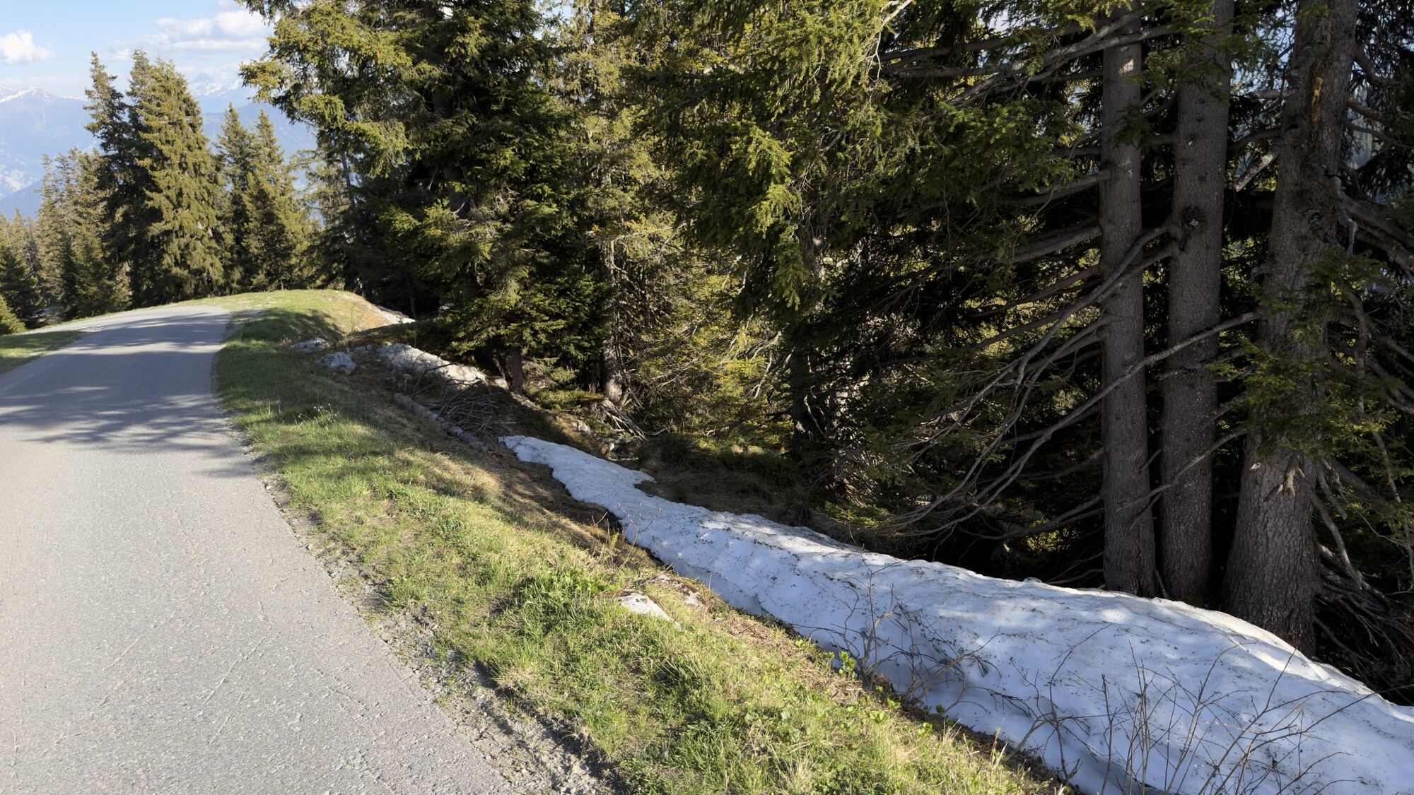
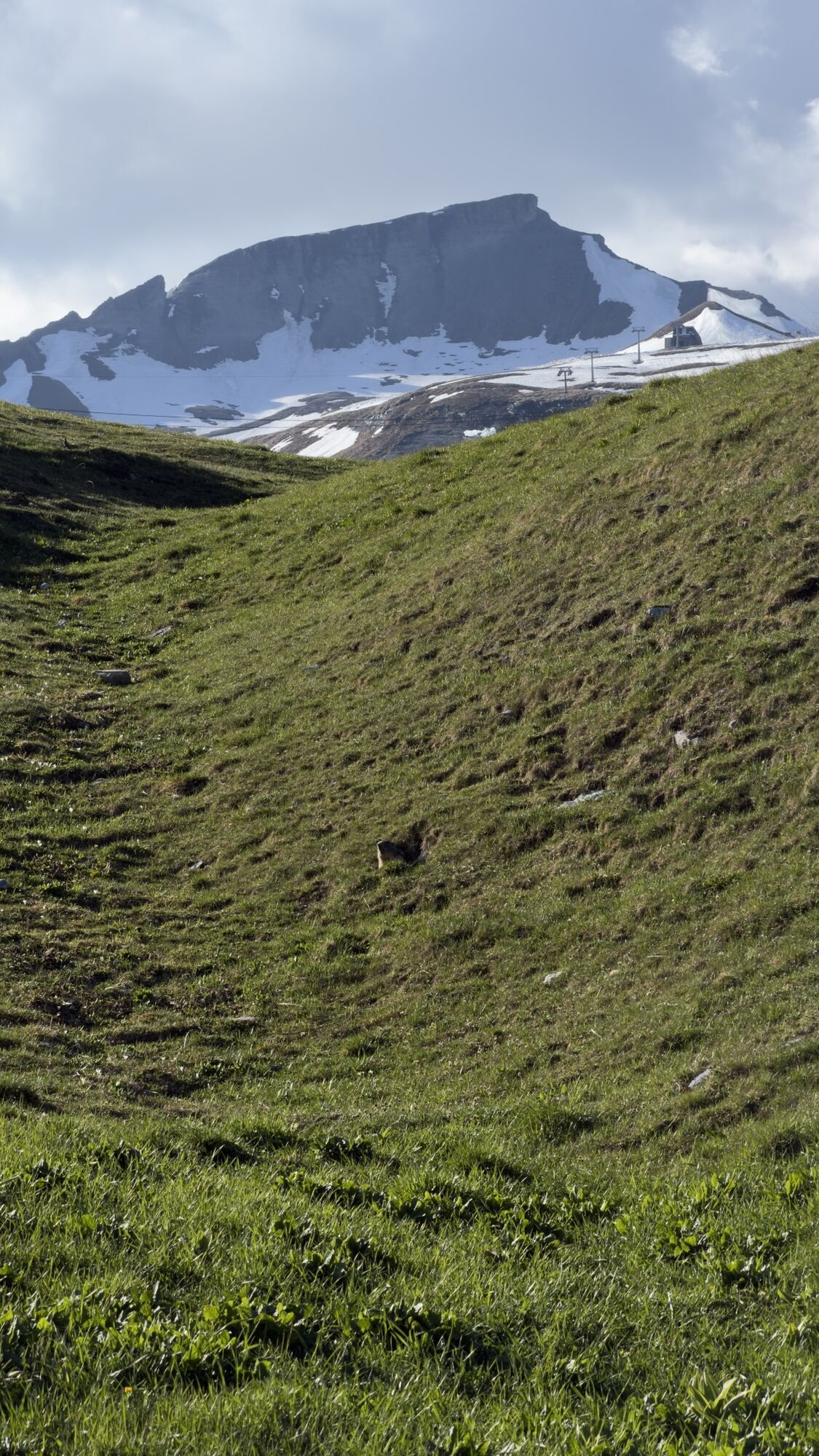
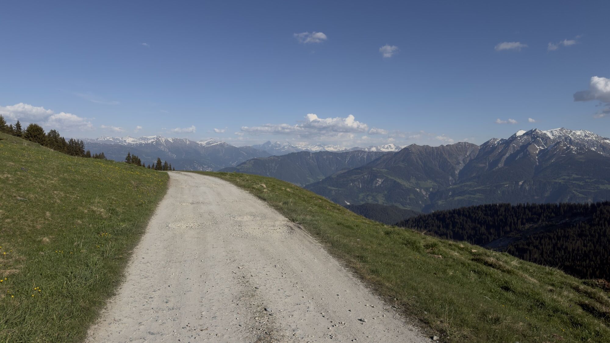
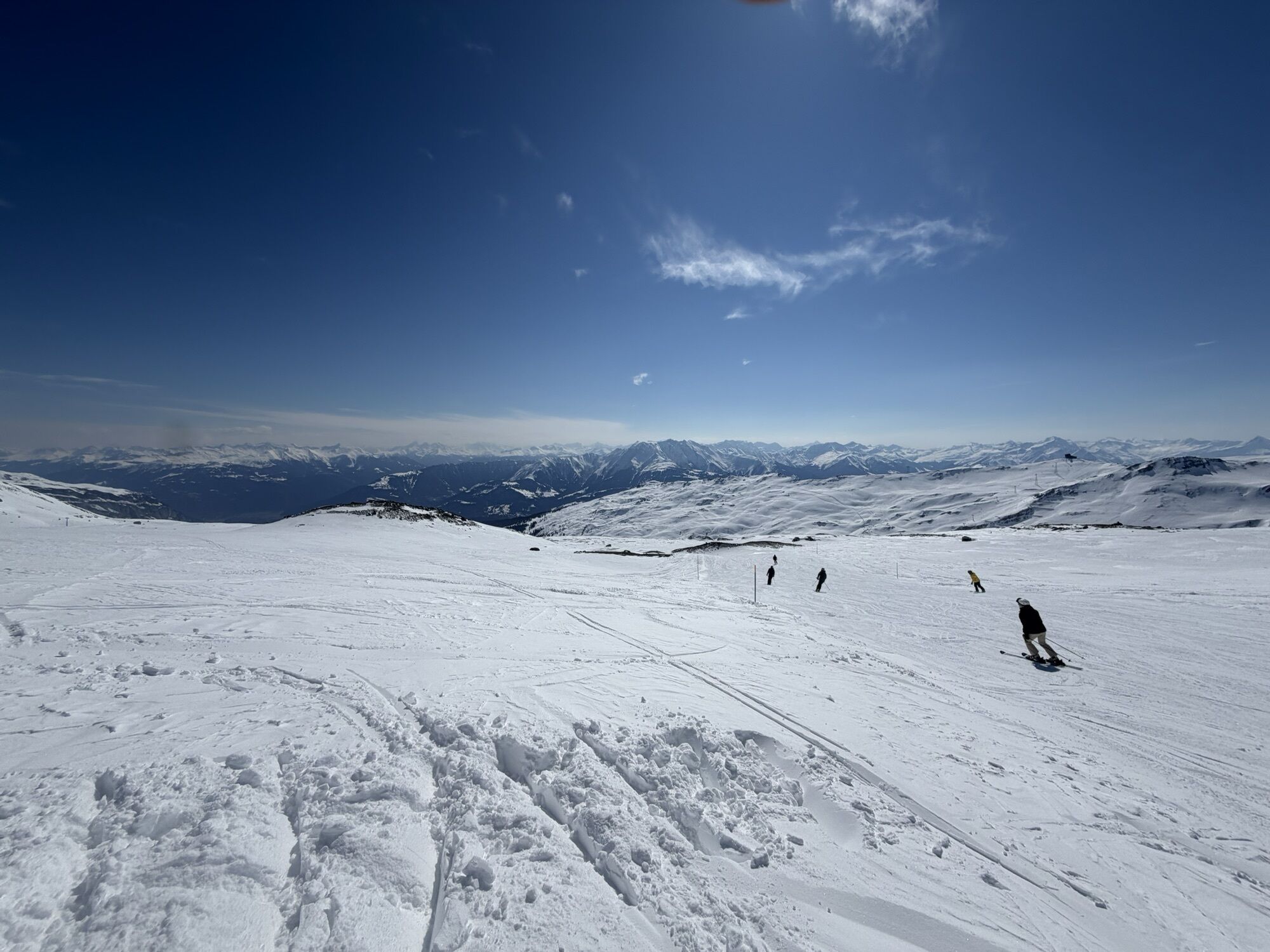
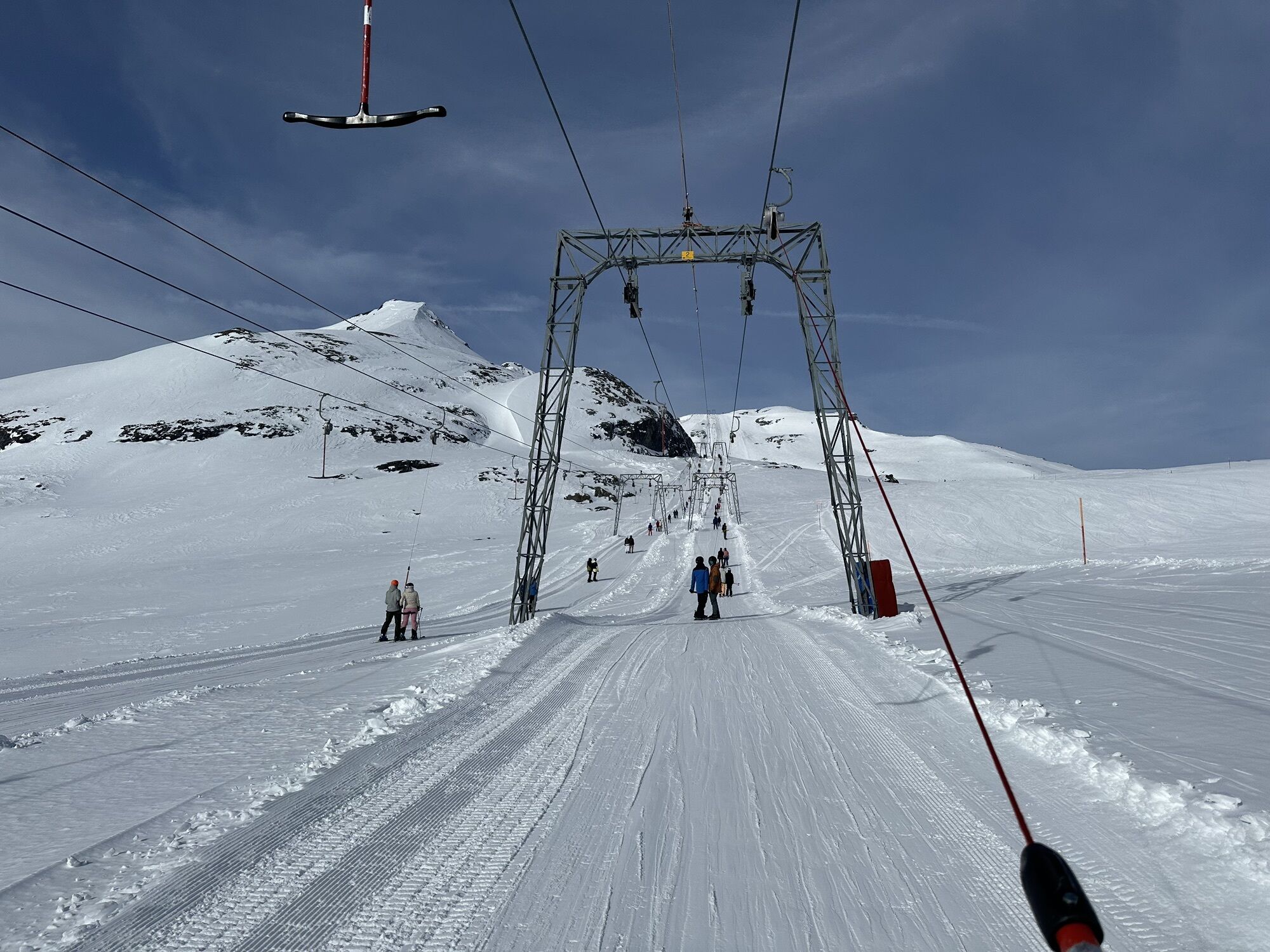
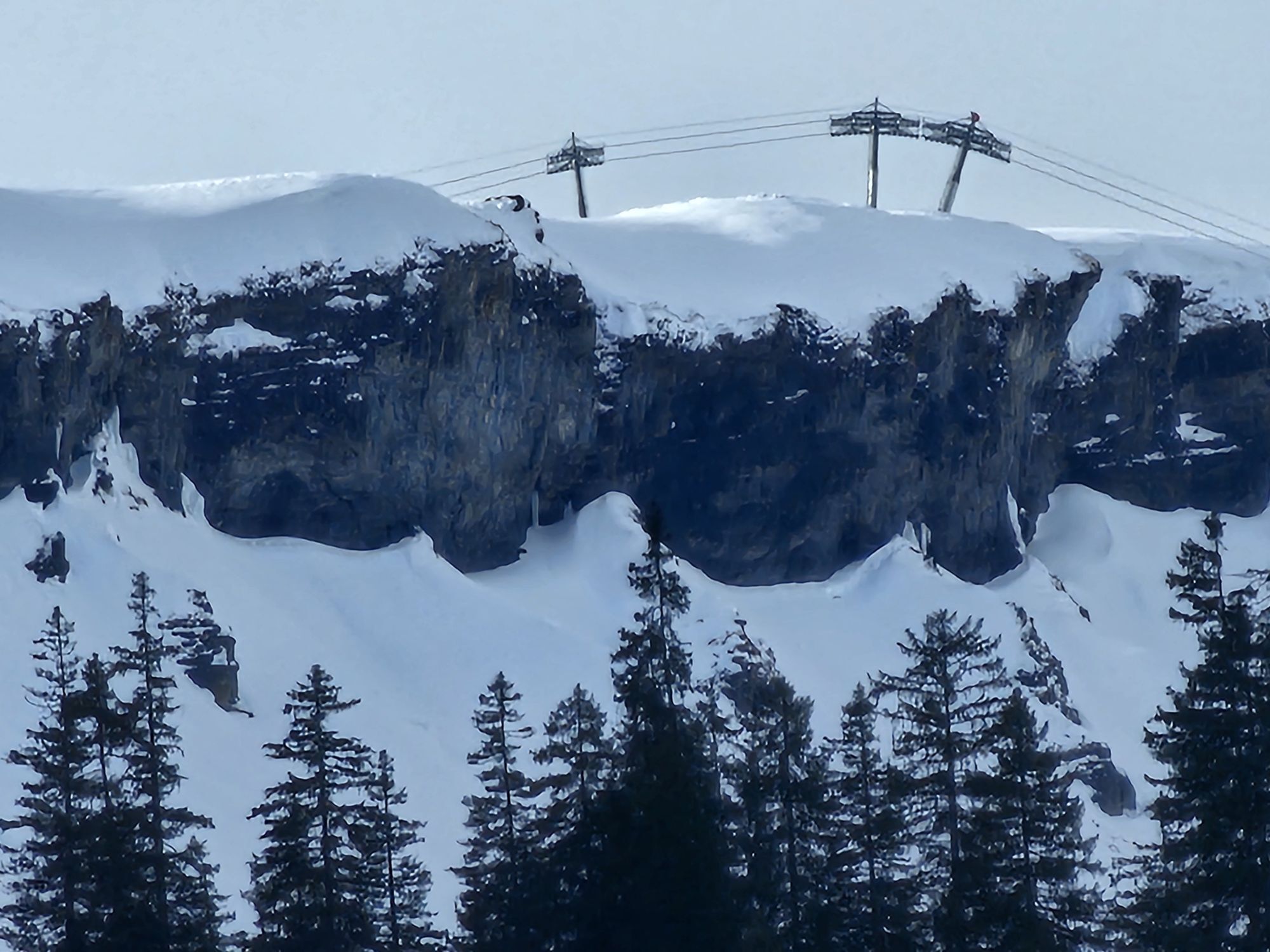
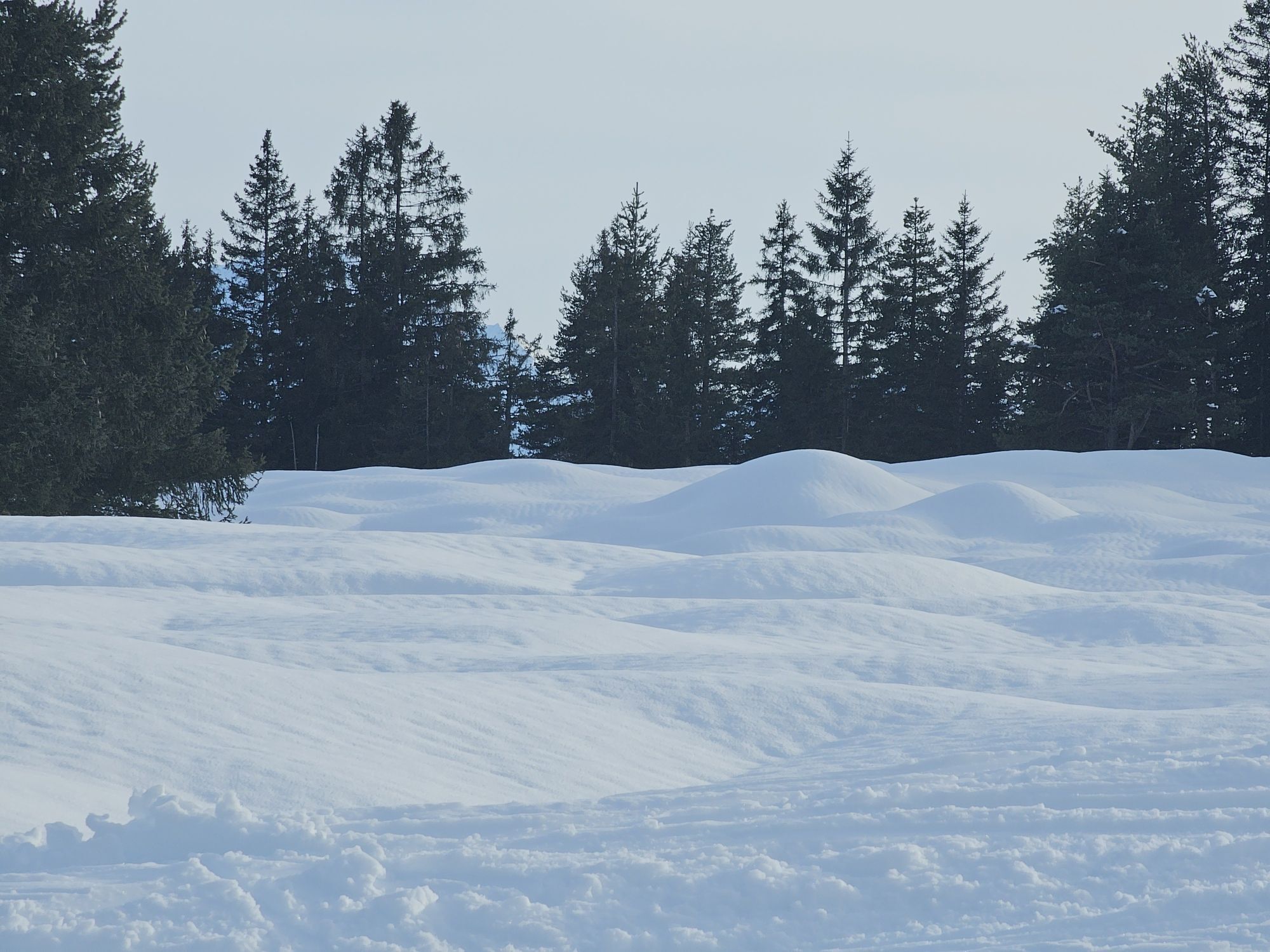
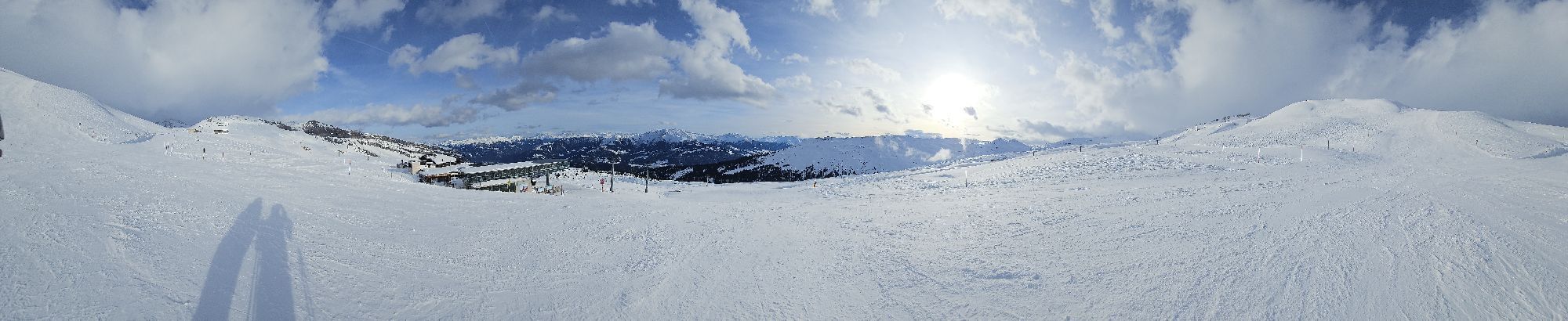
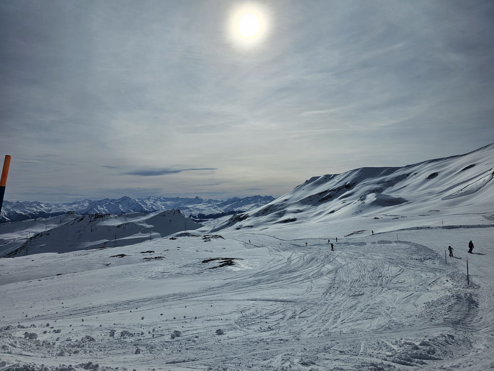
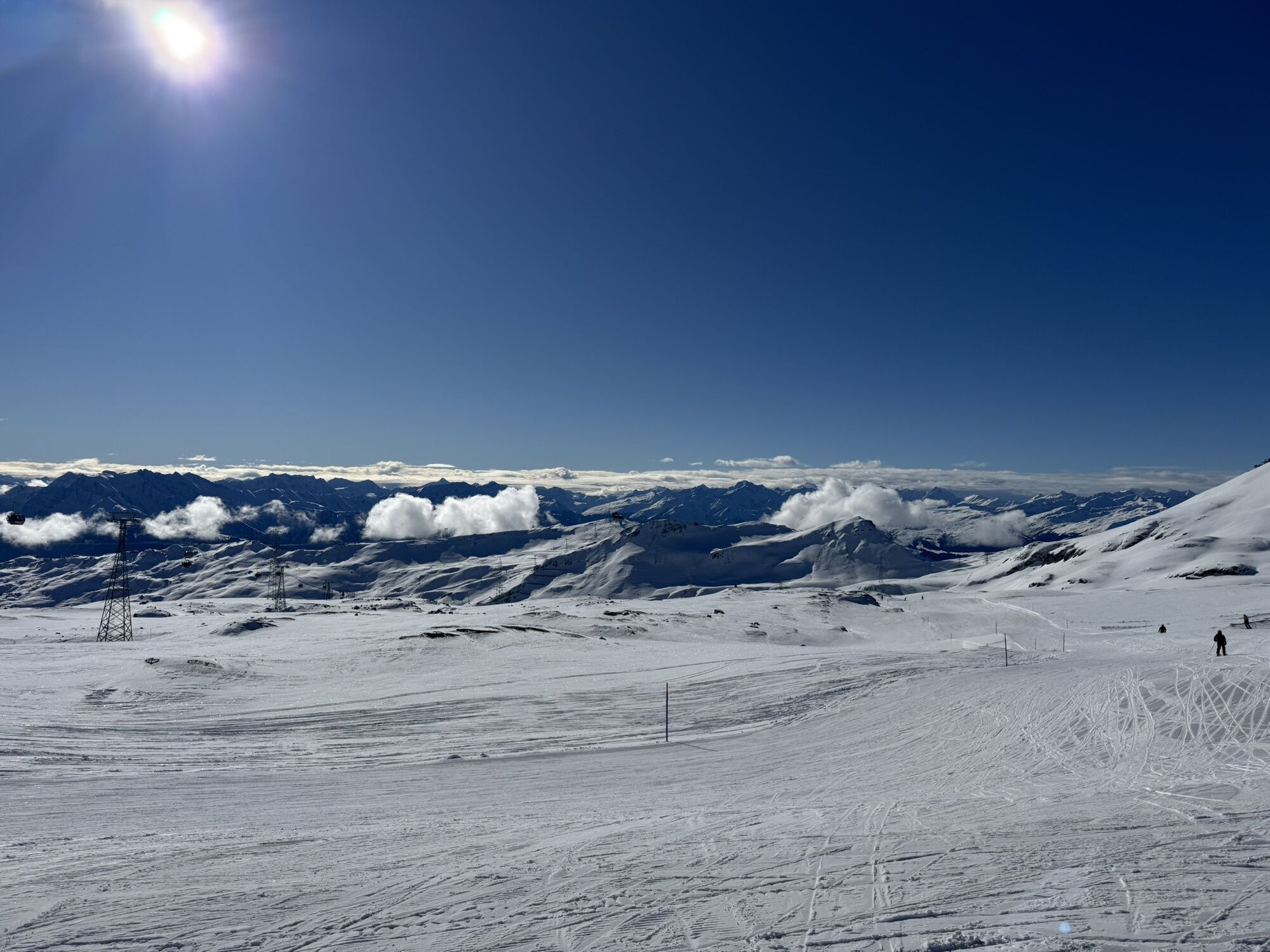
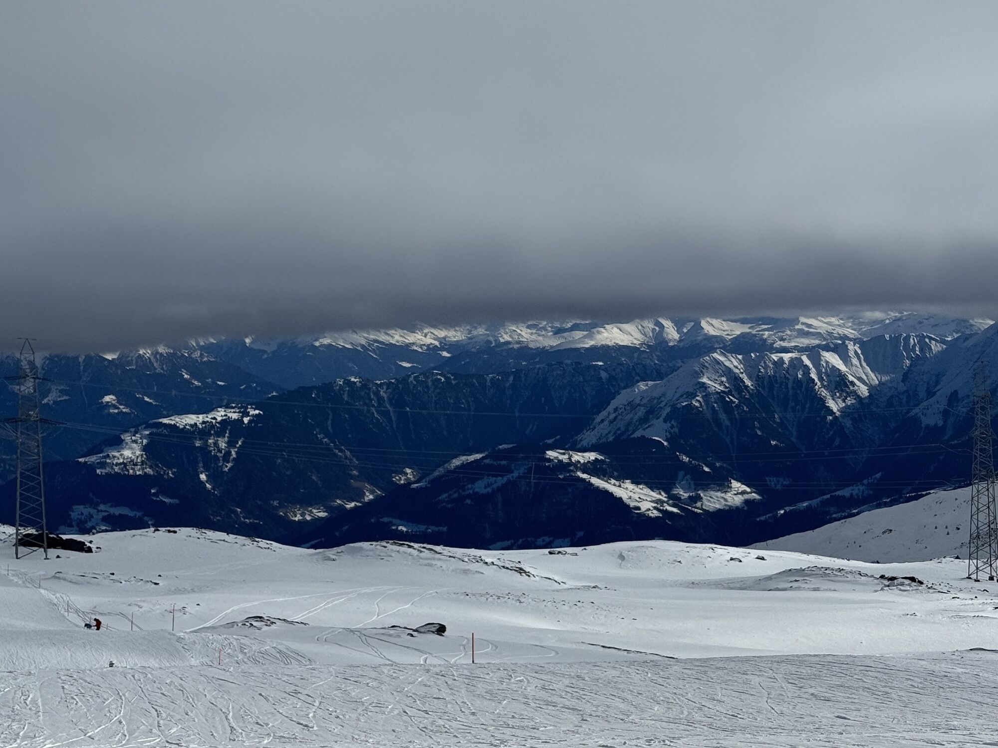
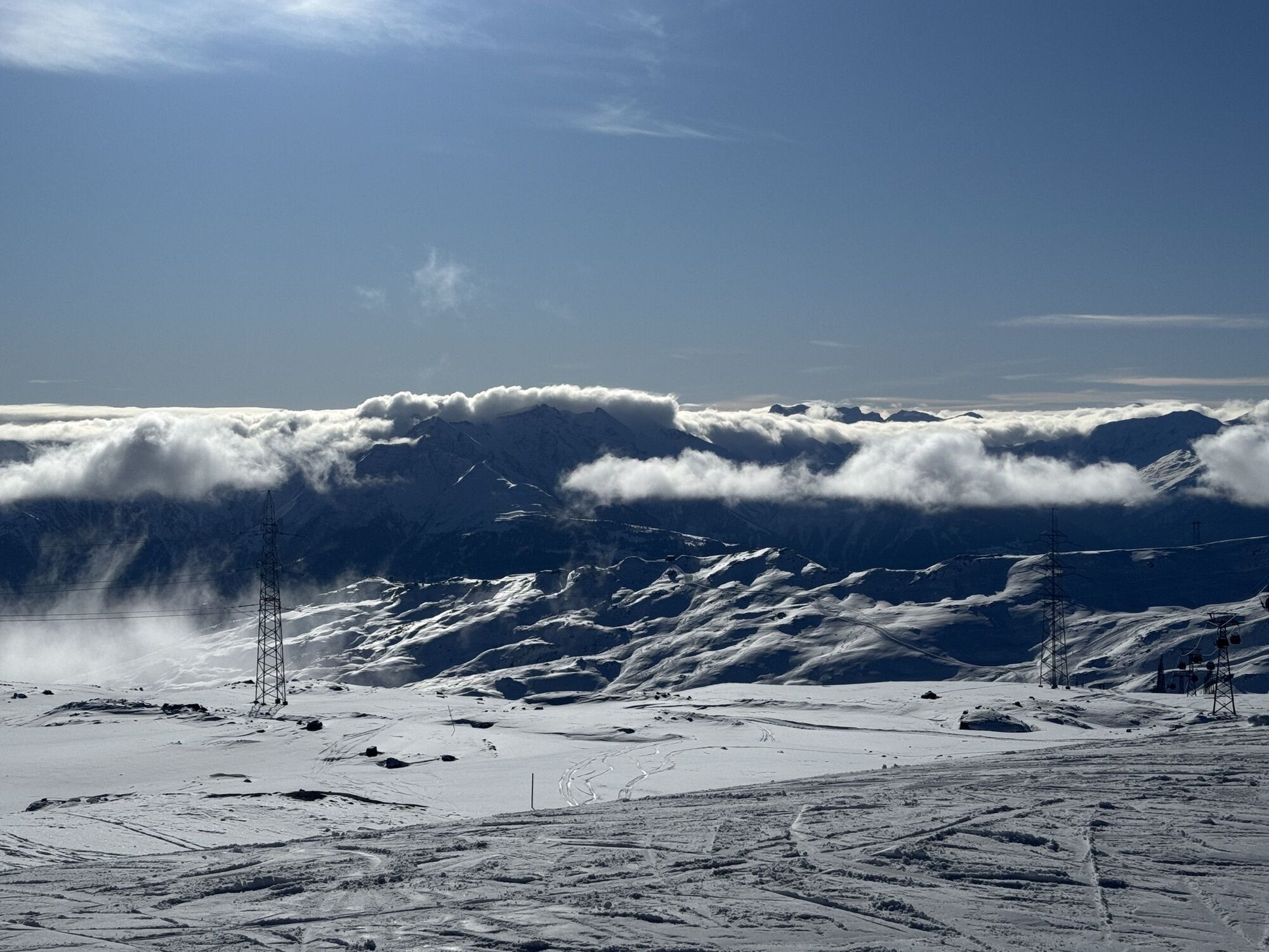
From the Flims valley station, you take the FlemX up to the Nagens Sura mountain station. Here you start your climb on a well-developed gravel road, all the way up to the Vorab mountain station at 2571m...
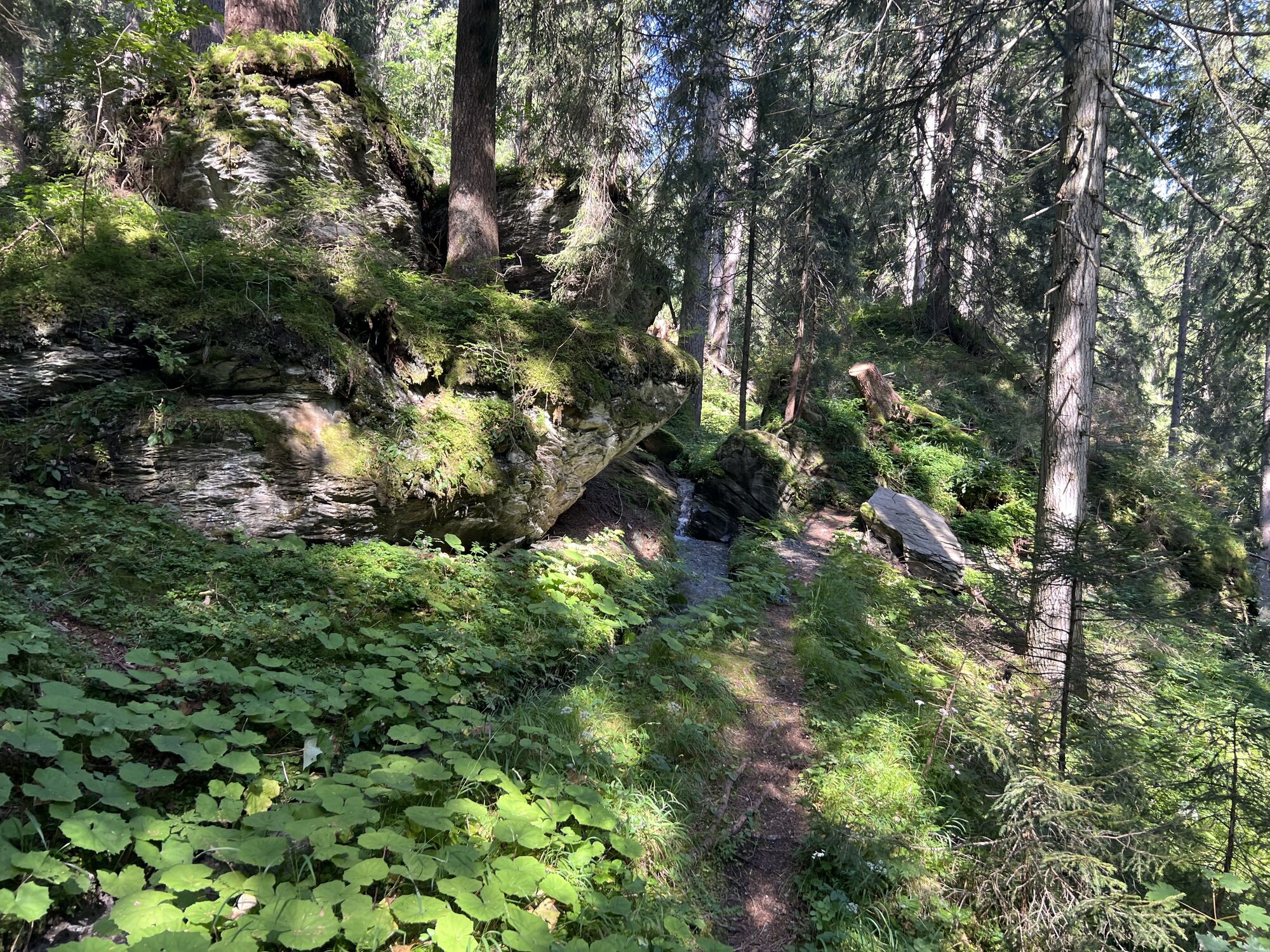
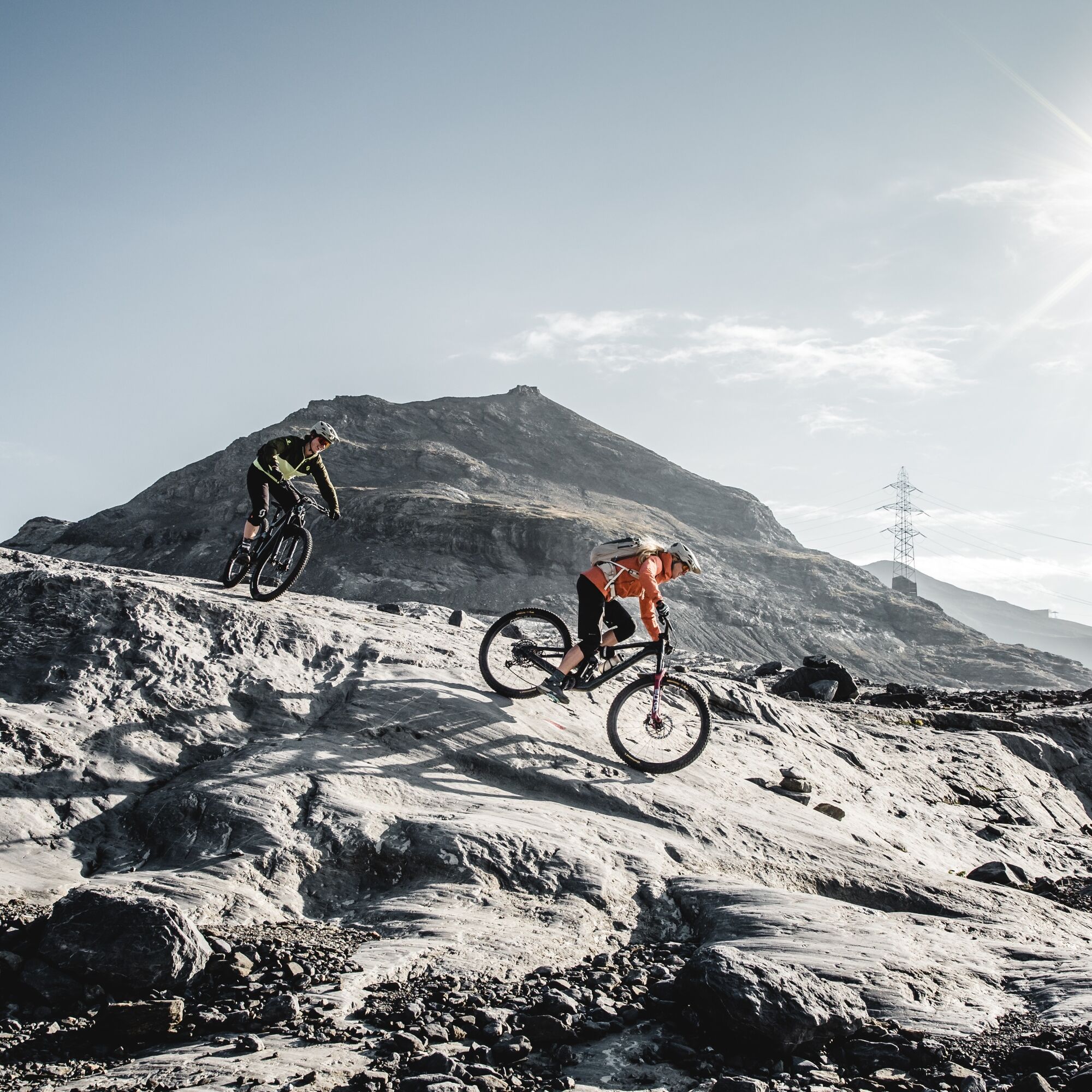
Behind the Vorab 3000 mountain station, the trail starts over the rocks of the former Vorab firn, with only the red-white color markers showing the way through the rough landscape. The singletrail descent crosses the road and leads through alpine terrain. At Camona Vorab it meets the Masegn round. The marked path meanders through the alpine rocky landscape and over alpine meadows down to Alp Sogn Martin. Here follows a short ascent on the gravel road to Mughels, where the route joins the Nagens trail. Initially still easy, it becomes technically more demanding in the middle section with rougher root passages. Finally, the flower experience is at the center on the Runca trail.
The route is suitable for advanced riders and is also good to ride with an e-bike. Safe riding in alpine terrain is a prerequisite.
In the summer months, you can make the tour even longer and start it on the summit of the nearby Laaxer Stöckli (only for very experienced bikers).

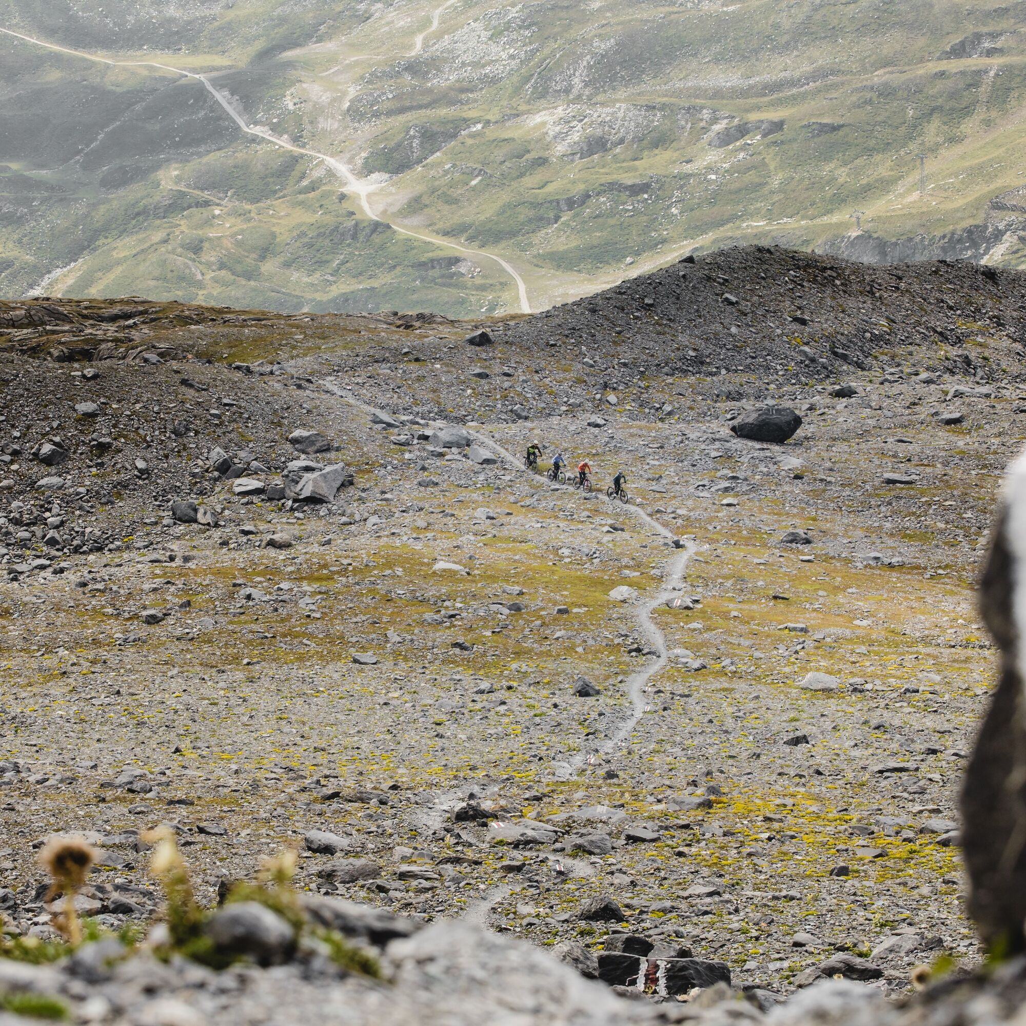
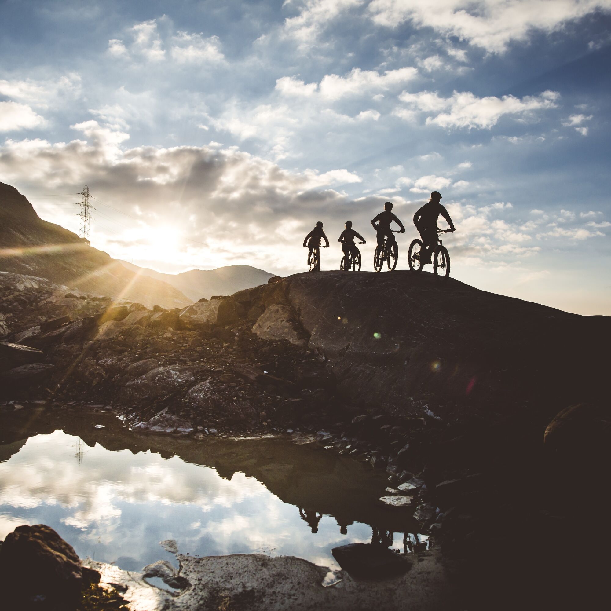

Laax Staderas - Val Plaun - Nagens - Vorab Gletscher - Mughels - Runca - Flims - Laax Staderas
Tak
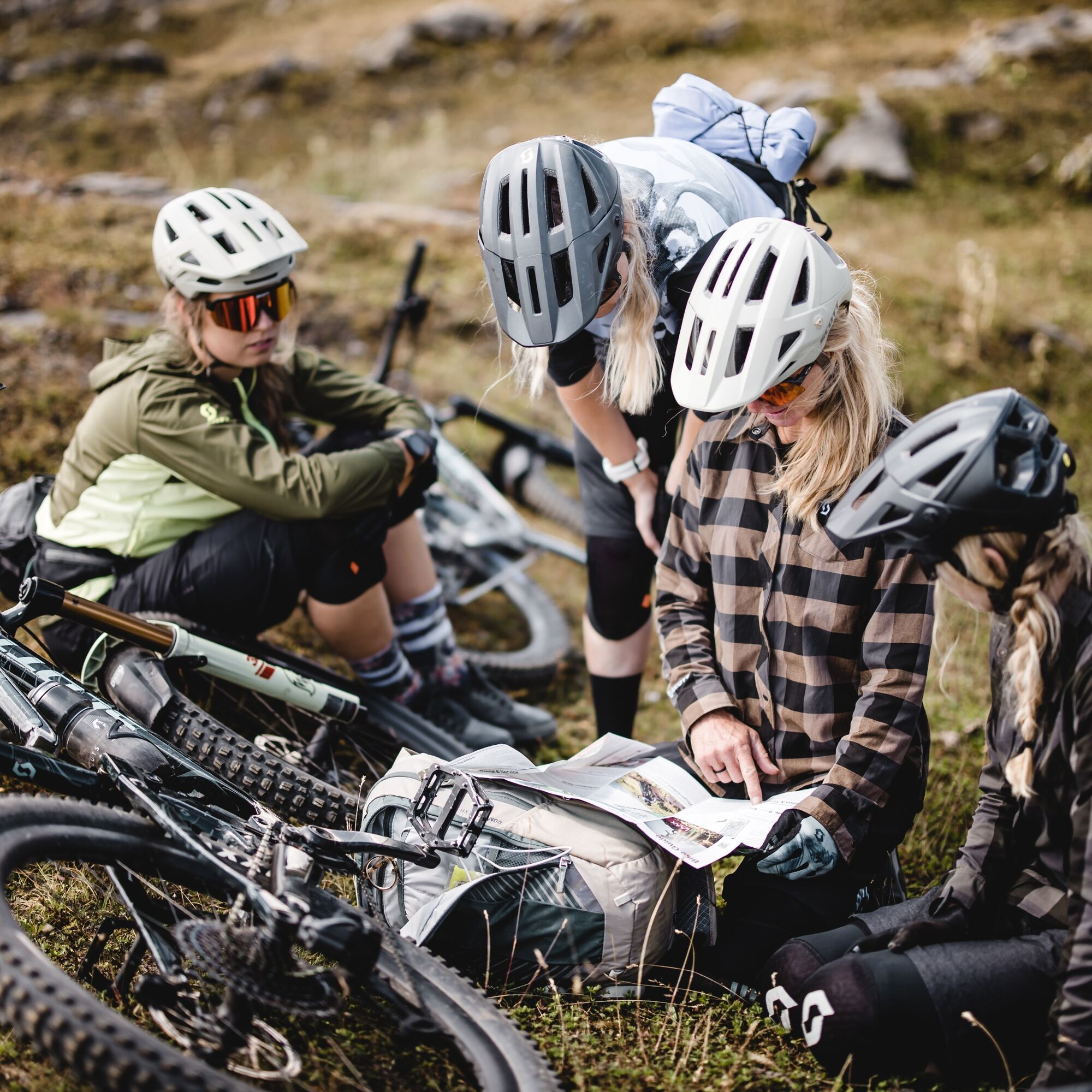
On this tour, you're quite far from civilisation. Bring some food and enough to dring. Don't ride alone.
The Vorab restaurant is closed during summer.
By car on the A13 motorway from Zurich, towards Flims.
By postbus from Chur towards Flims mountain lifts
From Flims with the public Flims Laax Falera shuttle.
Car park with 22 parking spaces near Laax Staderas.
S3
Via Nova 62
CH-7017 Flims
Tel: +41 (0)81 920 92 00
Email: info@flimslaax.com
Web: www.flimslaax.com
Shuttle bus with bike transport: from Murschetg to Nagens
Ascent by cabel car: Flims valley station - Naraus - Grauberg
Refreshment facilities available

Kamery internetowe z trasy

Popularne wycieczki w okolicy
-
4,9
Rheinschlucht: From Ilanz to Versam into the heart of the Rheinschlucht
średniWędrówka 11,4 km -
4,4
4-lake hike: Caumasee - Crestasee - Felsbach Gorge
ciężkiWędrówka 13,3 km -
4,7
Rhine Gorge Hike: Senda Ruinaulta (659)
światłoWędrówka 9,39 km -
5,0
Kalktrittli - Nüschentäli - Muttsee - Obersee - Muttenchopf - Mörtel - Limmerensee - Kalktrittli (durch Stollen)
średniWędrówka 14,8 km -
4,8
Mountain hike to the Strudeltöpfe on Alp Mora: Bargis-Trin
ciężkiWędrówka 18 km -
5,0
Lower Segnesboden: Nagens Sura - Lower Segnesboden - Segnes hut - Alp Nagens
średniWędrówka 6,66 km -
4,7
The Water Trail: Trutg dil Flem 764
ciężkiTrasa tematyczna 8,56 km -
5,0
High valley Val Frisal
ciężkiWędrówka 12,4 km -
5,0
Caumasee tour: Flims - Caumasee - Conn - Flims
światłoWędrówka 7,94 km -
4,5
St. Martin - Alp Sardona - St. Martin
średniWędrówka 14,2 km
Wędrówki i tropienie


Nie przegap ofert i inspiracji na następne wakacje
Twój adres e-mail została dodana do listy mailingowej.





