







Rhine Gorge-Sagogn (243)

Poziom trudności: S1
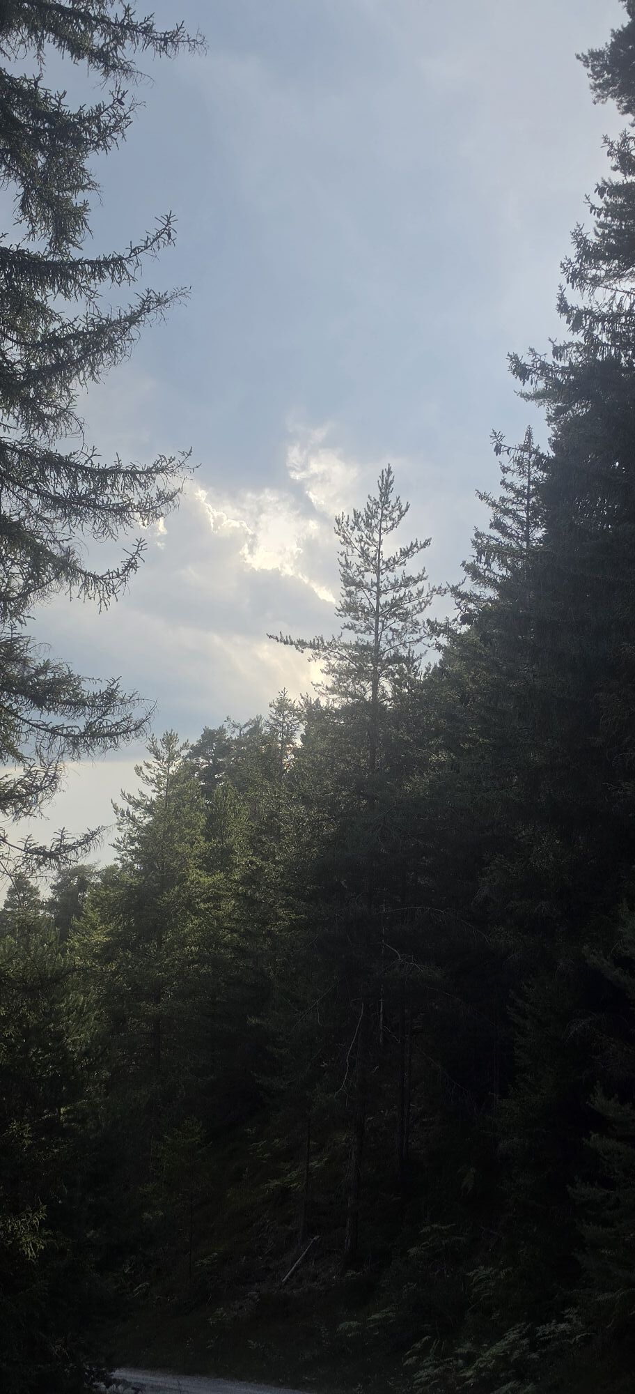
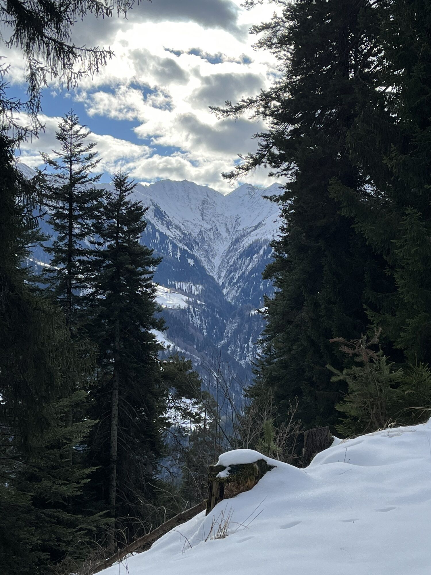
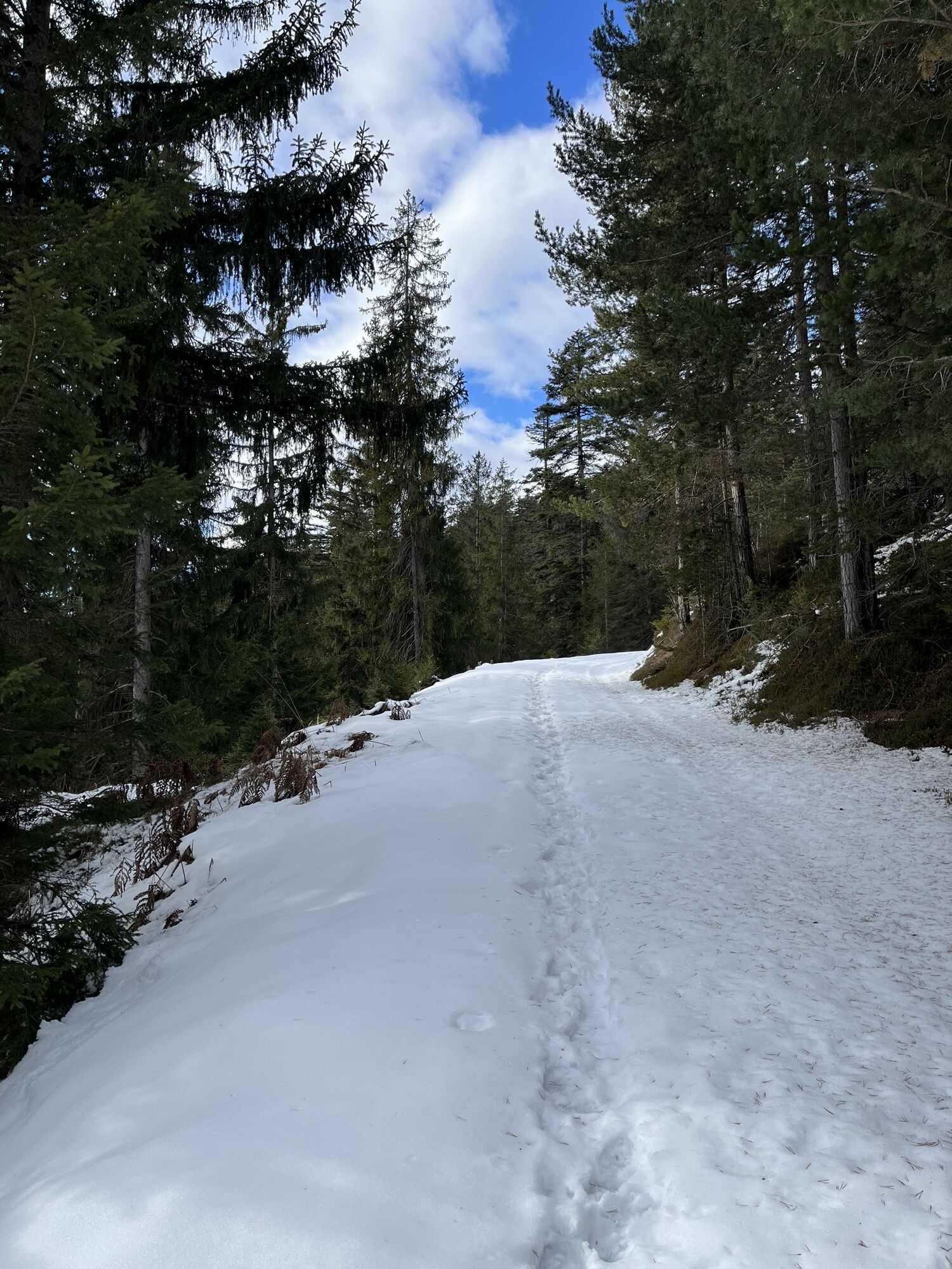
This varied circular route starts in Staderas. On forest roads, you ride through the large Laax forest to the viewpoint where you can see the Rhine Gorge. You are on the high route, which was used until...
This varied circular route starts in Staderas. On forest roads, you ride through the large Laax forest to the viewpoint where you can see the Rhine Gorge. You are on the high route, which was used until the late Middle Ages as a transit route to the Bündner Oberland. Passing mountain dairy farms, you go to Foppas, where there is a fire pit. Shortly before Sagogn, you pass the remains of the Schiedberg castle walls. If you want to learn more about the cultural assets of the region, you can read about them in the Platta Pussenta booklet. After a short time you reach Sagogn, then it goes quite steeply up a mountain hiking trail to the main road. After a short stretch along the main road, you return to side roads back to Staderas.


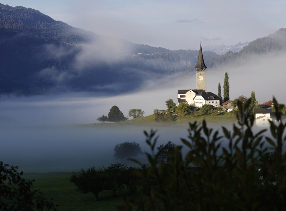

Laax Staderas - Val Gronda - Tuora - Sagogn - Laax - Laax Staderas
Tak
Tak
Tak
Repair kit and first aid kit belong in the backpack.
Faites attention aux randonneurs.
Carte des limites d'enneigement
Alors qu'il peut déjà y avoir de la neige en altitude, les chemins dans la vallée sont encore dégagés. Notre carte interactive de l'enneigement vous aide à planifier votre parcours. Vous pouvez voir en un coup d’œil sur www.flims.com/schneesituation où vous devez déjà vous attendre à de la neige sur les chemins et sentiers, et où vous pouvez encore circuler sans avoir froid aux pieds.
By car via the A13 motorway from Zurich, towards Laax.
By post bus from Chur towards Flims / Laax.
From Flims with the public Flims Laax Falera shuttle.
Stop: Laax Staderas.
Parking lot with 22 paid parking spaces at Laax Staderas.
S1
Via Nova 62
CH-7017 Flims
Tel: +41 (0)81 920 92 00
E-mail: info@flimslaax.com
Internet: www.flimslaax.com
Enjoy the view.


Kamery internetowe z trasy

Popularne wycieczki w okolicy
-
4,9
Rheinschlucht: From Ilanz to Versam into the heart of the Rheinschlucht
średniWędrówka 11,4 km -
4,4
4-lake hike: Caumasee - Crestasee - Felsbach Gorge
ciężkiWędrówka 13,3 km -
4,8
Rhine Gorge Hike: Senda Ruinaulta (659)
światłoWędrówka 9,39 km -
4,8
Mountain hike to the Strudeltöpfe on Alp Mora: Bargis-Trin
ciężkiWędrówka 18 km -
4,7
The Water Trail: Trutg dil Flem 764
ciężkiTrasa tematyczna 8,56 km -
5,0
Lower Segnesboden: Nagens Sura - Lower Segnesboden - Segnes hut - Alp Nagens
średniWędrówka 6,66 km -
5,0
Caumasee tour: Flims - Caumasee - Conn - Flims
światłoWędrówka 7,94 km -
4,3
Historic Pinut via ferrata
średniVia ferrata 5,82 km -
4,7
St. Martin - Alp Sardona - St. Martin
średniWędrówka 14,2 km -
3,5
Tour zum Martinsloch
ciężkiWędrówka 3,82 km
Wędrówki i tropienie


Nie przegap ofert i inspiracji na następne wakacje
Twój adres e-mail została dodana do listy mailingowej.





