







Around the Kaffelstein
This circular route goes up high. It starts on the Bavarian Main side in Kreuzwertheim at the hiking board, directly after the Main bridge. Initially, the path leads a short distance through a residential...
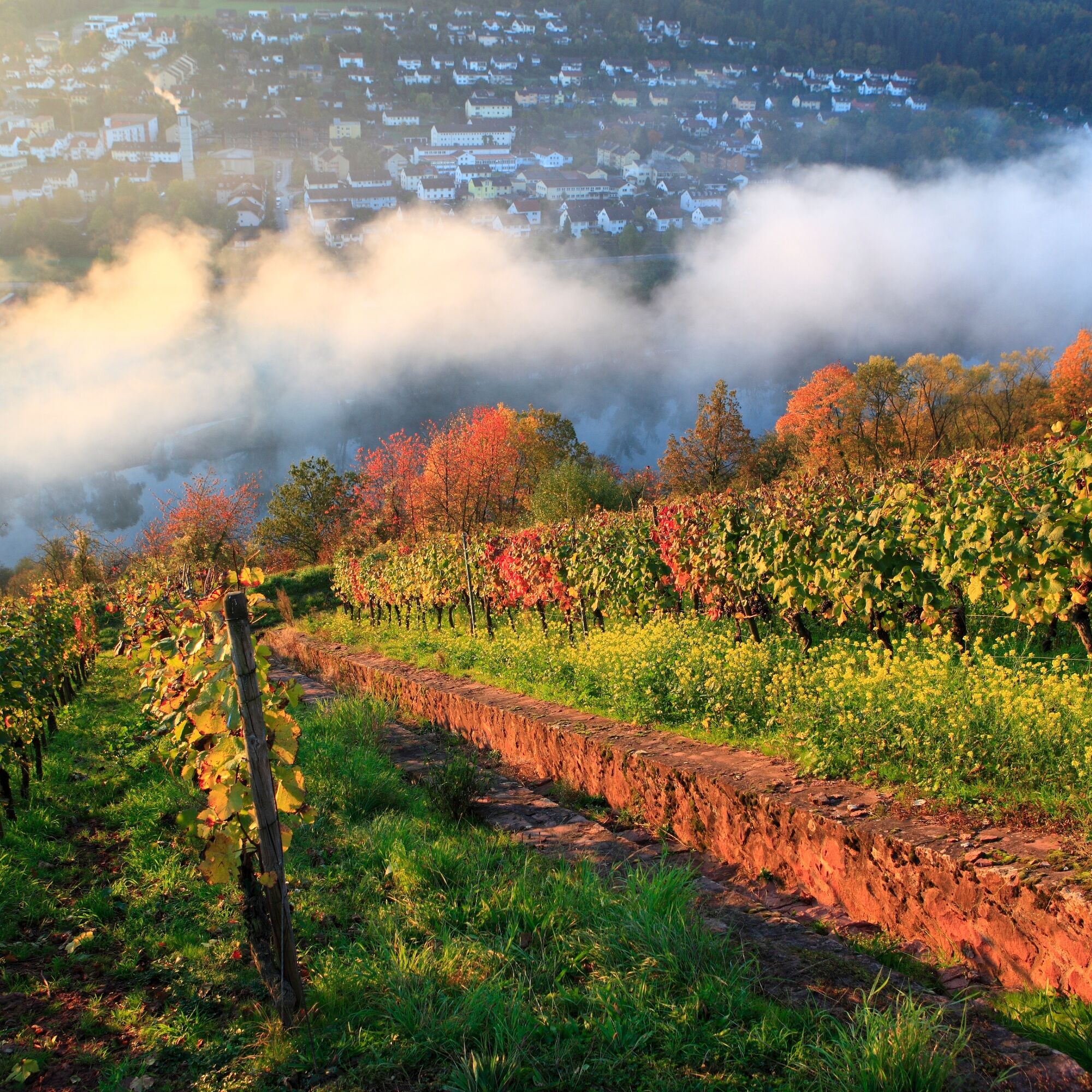
This circular route goes up high. It starts on the Bavarian Main side in Kreuzwertheim at the hiking board, directly after the Main bridge. Initially, the path leads a short distance through a residential area, then it's off into nature! A well-trodden and lightly gravelled hiking trail leads you up the Rainberg, past the "Kaffelstein" vineyard with colorful sandstone walls and numerous viewpoints. At the end of the Höhenweg, the cool forest welcomes you, allowing you to recover from the ascent in the shade of the trees. After the forest section, you reach the "Kaffelstein" vineyard again and shortly thereafter the Kaffelstein memorial, each with wonderful panoramic views of Wertheim Castle, the old town, and the Main River. Here you can spread out your blanket and enjoy your picnic. After the refreshment, descend through the archway back to the starting point.

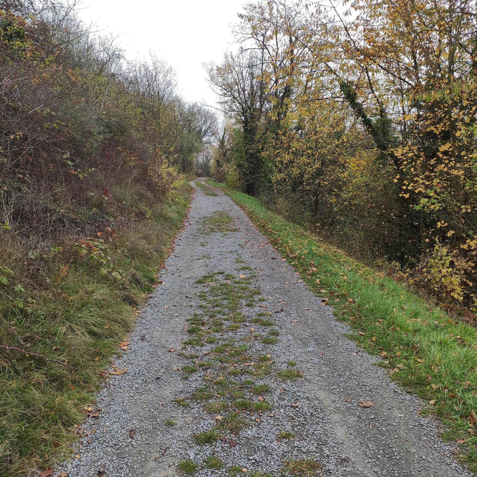

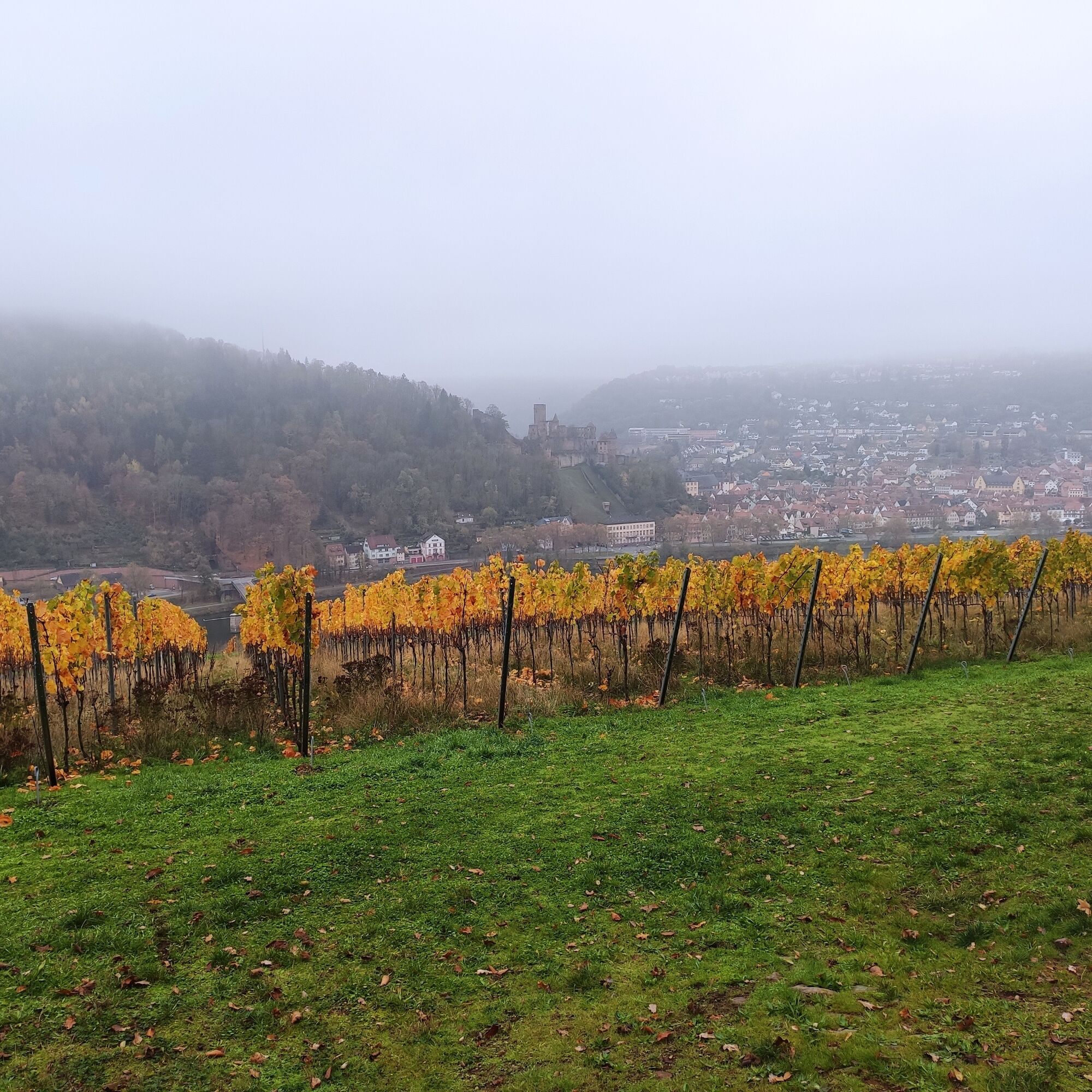

You start at the "Wandertafel" in Kreuzwertheim/Mainbrücke and walk about 100 meters into the town. At the "W5" marker, turn right and go up the stairs. At the top, keep to the right. At the lamppost on the right property, you will see the "W5" marker directing you to a short incline to the left. At the top, turn right and hike up a gentle slope.
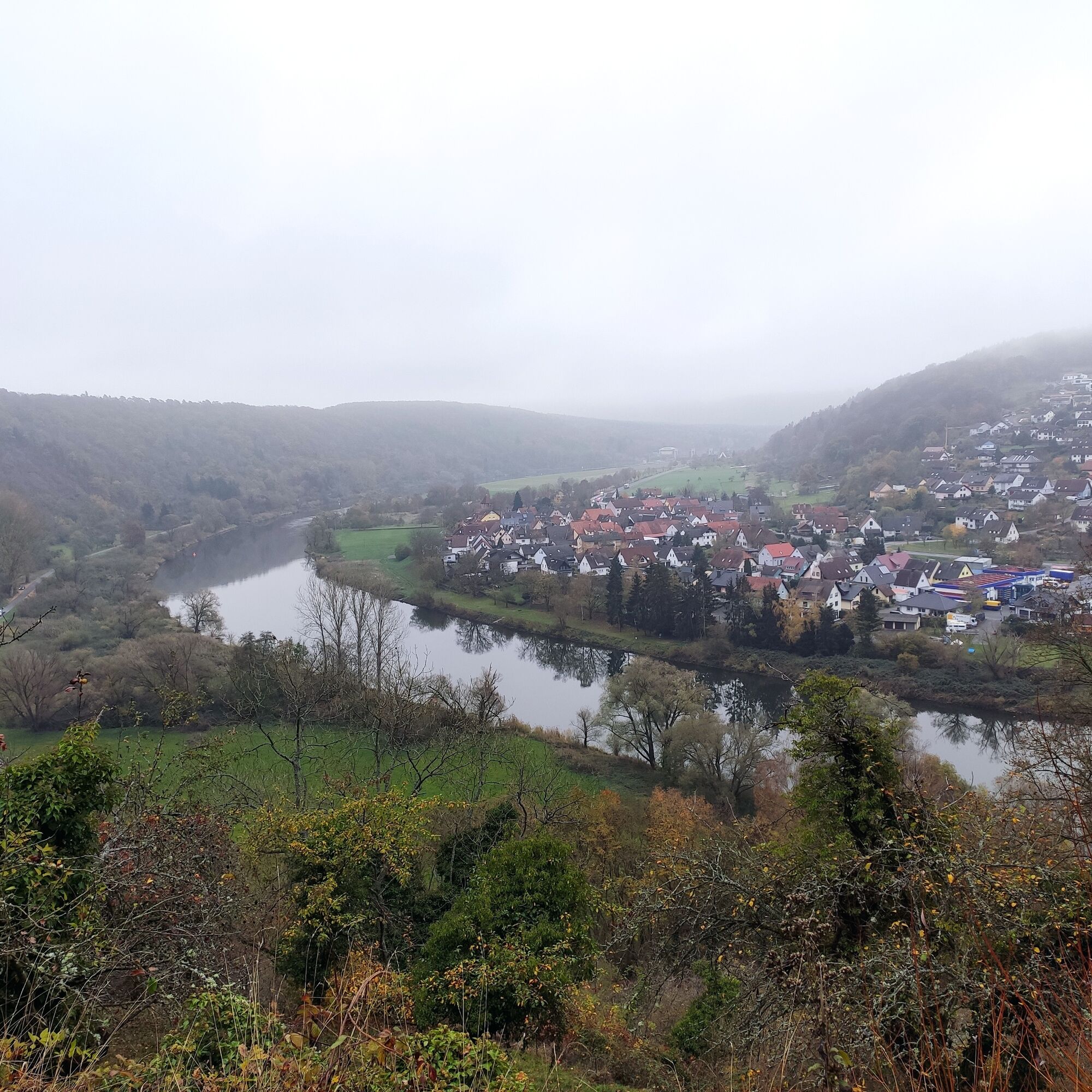
At the next left fork, continue straight ahead and after a few meters you will reach a viewing platform secured by a railing. From here you can look down to the Main River and the Wertheim district of Hofgarten. In the middle of the park is the "Schlösschen im Hofgarten" museum from the Rococo period.
Continue along the Höhenweg and after a few minutes the "Kaffelstein" vineyard opens up on the left side. The further hiking path is flanked by the colorful sandstone wall of the vineyard and wonderful views of the Main Valley.
At the end of the Höhenweg you will find a bench with a beautiful view of Wertheim-Eichel (in the distance, the Wertheim-Höhefeld wind farm).
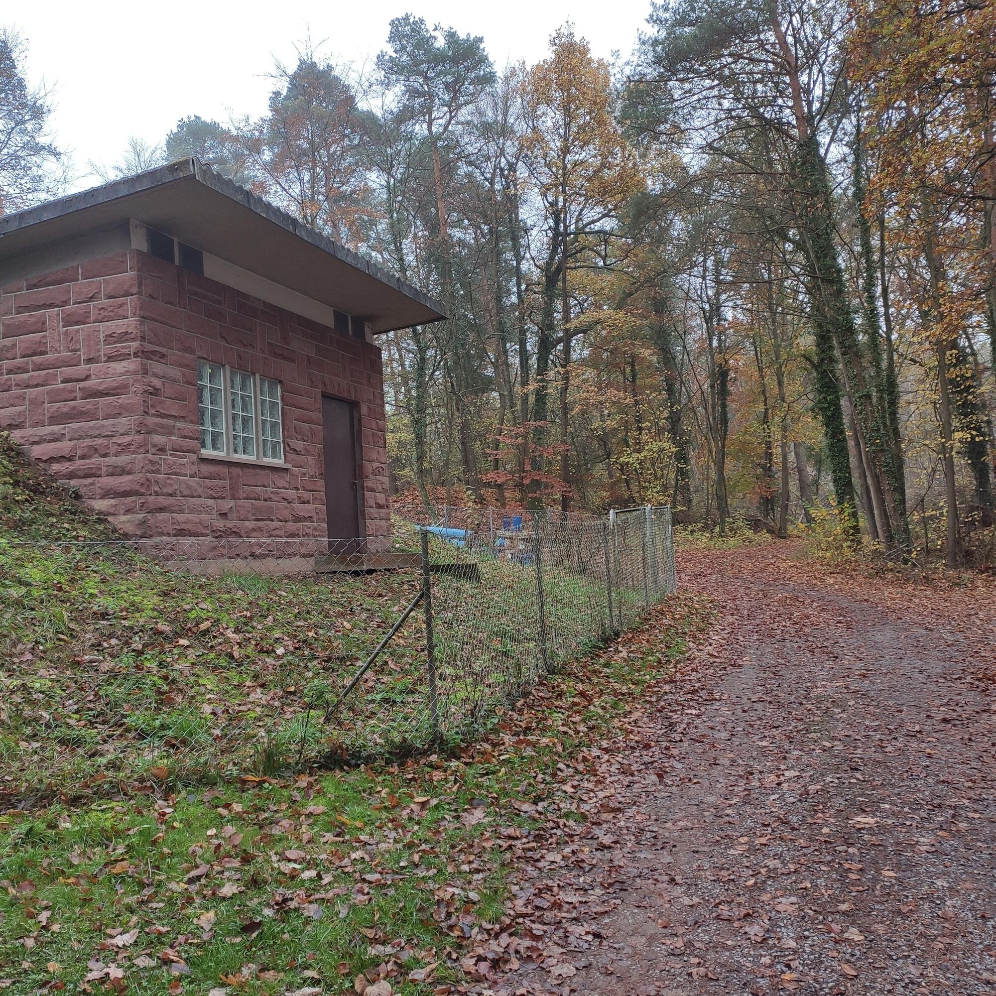
Soon you enter the cool forest of the Rainberg. In the shade of the trees, follow the "W5" marker until you reach the boundary (wooden fence) of a residential area. Keep left, walk about 300 meters further and then turn left again (W5) into the forest, pass a small water cabin and continue straight on past a radio mast. After about 70 minutes of walking, you reach the Kaffelstein memorial.
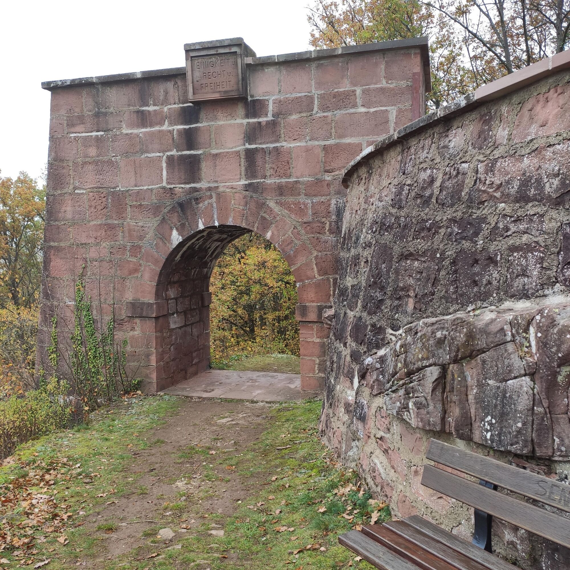
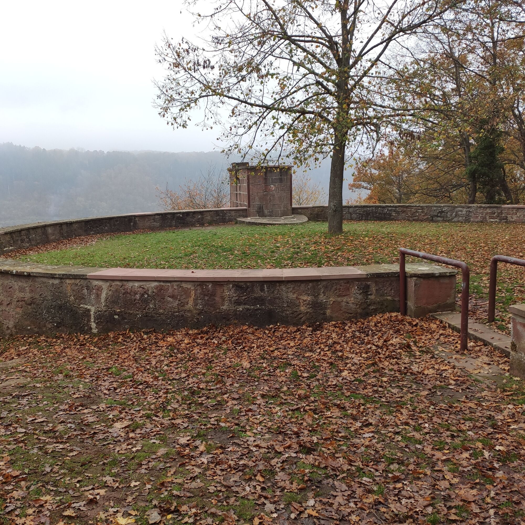
Enjoy beautiful views from this platform of Wertheim Castle, the old town, and the Main River. On the descent, keep right, walk through a stone archway, then go left, briefly but steeply downhill. After about 50 meters, turn left (W5) and so return to the starting point.
Tak
Sturdy footwear
You can reach Wertheim via the A3 motorway, exit: Marktheidenfeld/Wertheim (distance: 10 km) or exit: Wertheim/Lengfurt (distance: 10 km) and connected to the A81 via the A6 and A7
Deutsche Bahn: Wertheim is located on the railway line Frankfurt/Aschaffenburg/Lauda/Bad Mergentheim/Ulm/Friedrichshafen.
ICE or IC passengers of Deutsche Bahn can reach Wertheim from Würzburg via public transport and the A3 in about 30 minutes.
Park at the old Main bridge in car park P1, only about 500 meters from the starting point.
Until 1929 there was the rock formation "Knuck" on the Kaffelstein. It was visible from afar. The Baden and Bavarian authorities had this natural monument blown up because the National Socialists had painted an oversized swastika on it. In 1933, the National Socialists erected a memorial there, whose pedestal has been a popular viewing platform since 1954.
Stop by the "Alte Grafschaft" winery and choose a great wine for your picnic on the way. Don't forget your picnic blanket!
 Uzyskaj wgląd
Zawsze na żywo z ponad 9 500 kamer internetowych. bergfex Jako użytkownik Pro, możesz teraz zobaczyć odpowiednie kamery internetowe dla wielu wycieczek w aplikacji wycieczki od. Pozwala to na bezpośredni podgląd aktualnych warunków.
Uzyskaj wgląd
Zawsze na żywo z ponad 9 500 kamer internetowych. bergfex Jako użytkownik Pro, możesz teraz zobaczyć odpowiednie kamery internetowe dla wielu wycieczek w aplikacji wycieczki od. Pozwala to na bezpośredni podgląd aktualnych warunków.
Popularne wycieczki w okolicy
-
5,0
On the way to Himmelreich
średniWędrówka 15,0 km -
5,0
Dorfprozelten: Kollenburg-Chapel-Route
średniWędrówka 11,8 km -
Wertheim - Urphar - Wertheim
średniWędrówka 12,8 km -
MainRadweg Wertheim bis Miltenberg
Jazda na rowerze 35,7 km -
4,5
Homburg Wine Hiking Trail
średniWędrówka 7,65 km -
Altenbuch Forest House Route
światłoWędrówka 14,8 km -
South Spessart Trail
ciężkidługodystansowy szlak pieszy 60,8 km -
4,0
Wein-Tauber hiking trail - circular route from Bronnbach
średniWędrówka 10,4 km -
European Cultural Trail: From the Castle Hall to the Monastery Shine - At the Holle Tree and Piper Hans
średniWędrówka 21,6 km -
Franconian Mary’s Way in the southern Spessart
średnidługodystansowy szlak pieszy 25,6 km
Wędrówki i tropienie


Nie przegap ofert i inspiracji na następne wakacje
Twój adres e-mail została dodana do listy mailingowej.





