


Franconian Mary’s Way in the southern Spessart

The section of the Franconian Mary’s Way in the southern Spessart is characterized by a dense network of pilgrimage sites. Small signs of Franconian Marian devotion can also be found along the path, whether...
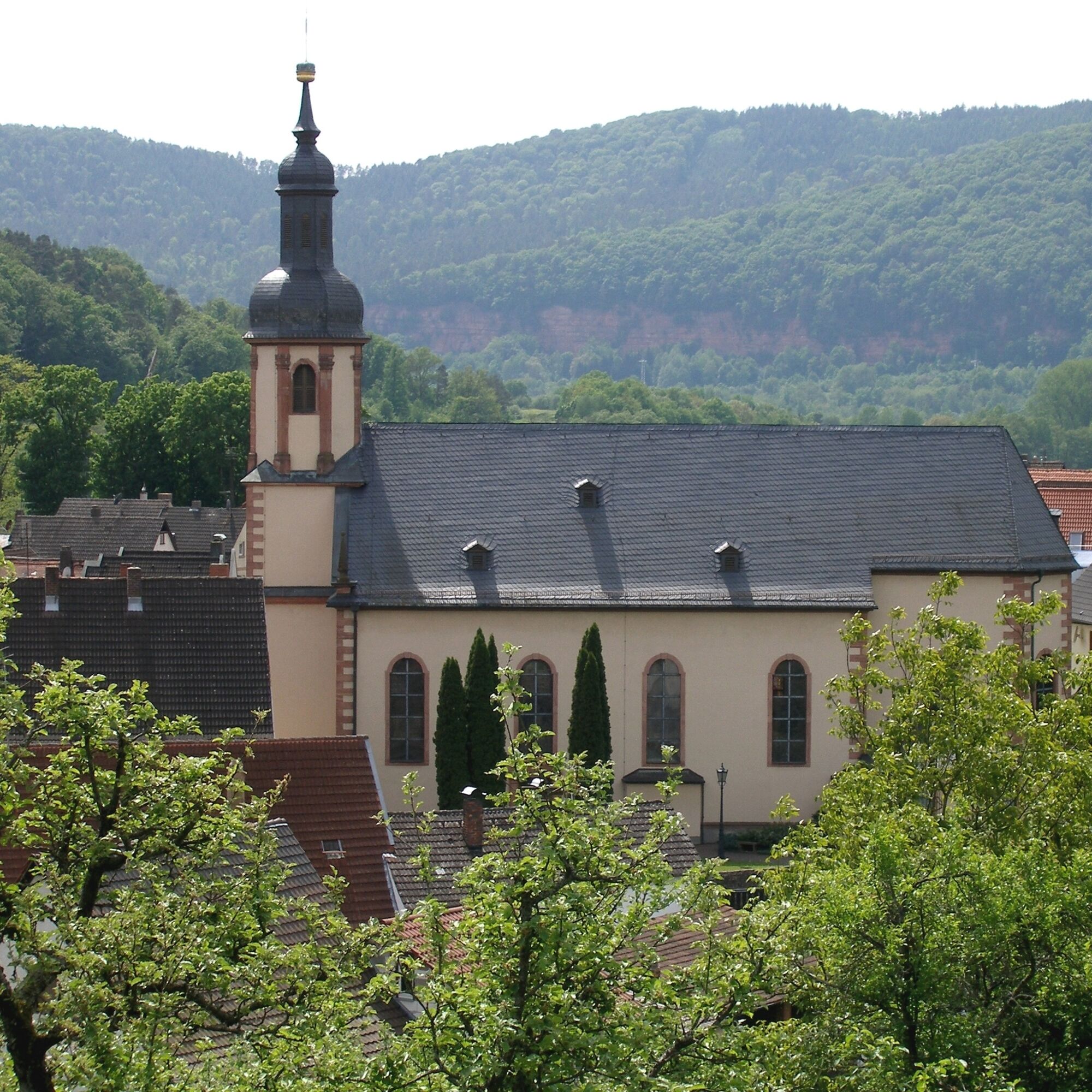
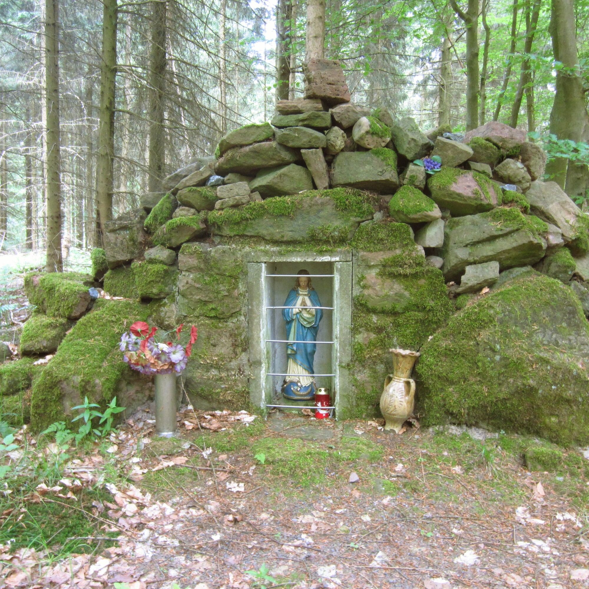
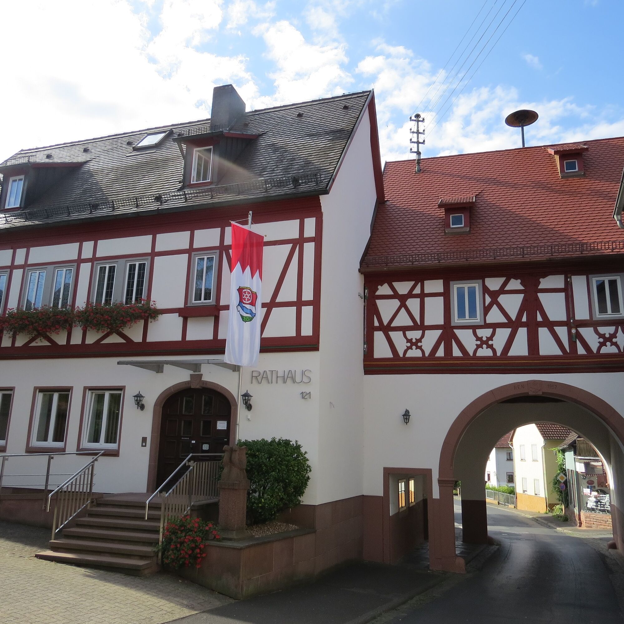
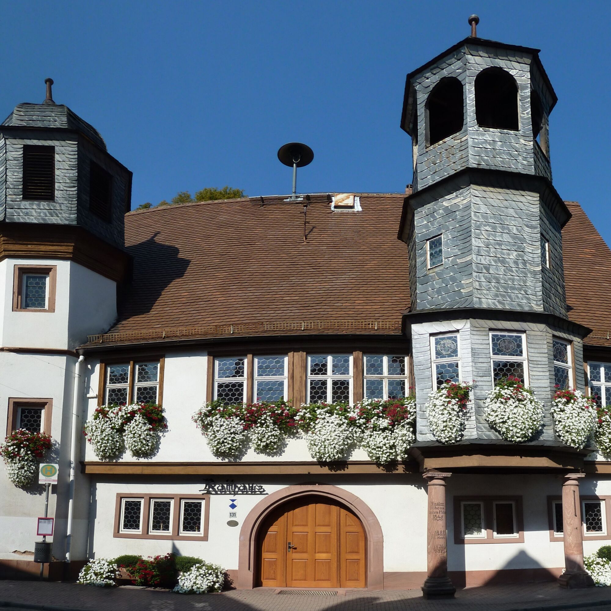
The section of the Franconian Mary’s Way in the southern Spessart is characterized by a dense network of pilgrimage sites. Small signs of Franconian Marian devotion can also be found along the path, whether Madonnas on house walls, roadside shrines, or chapels in fields and forests.
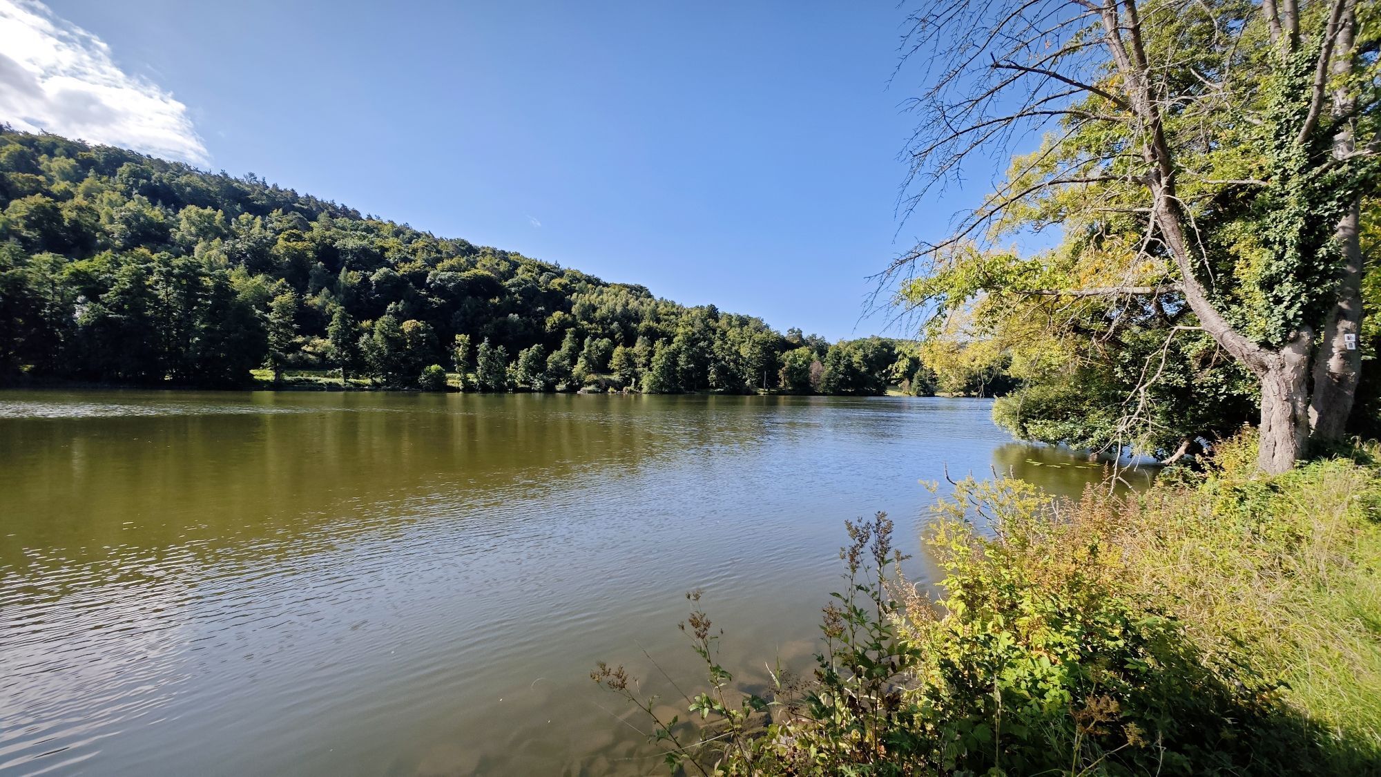
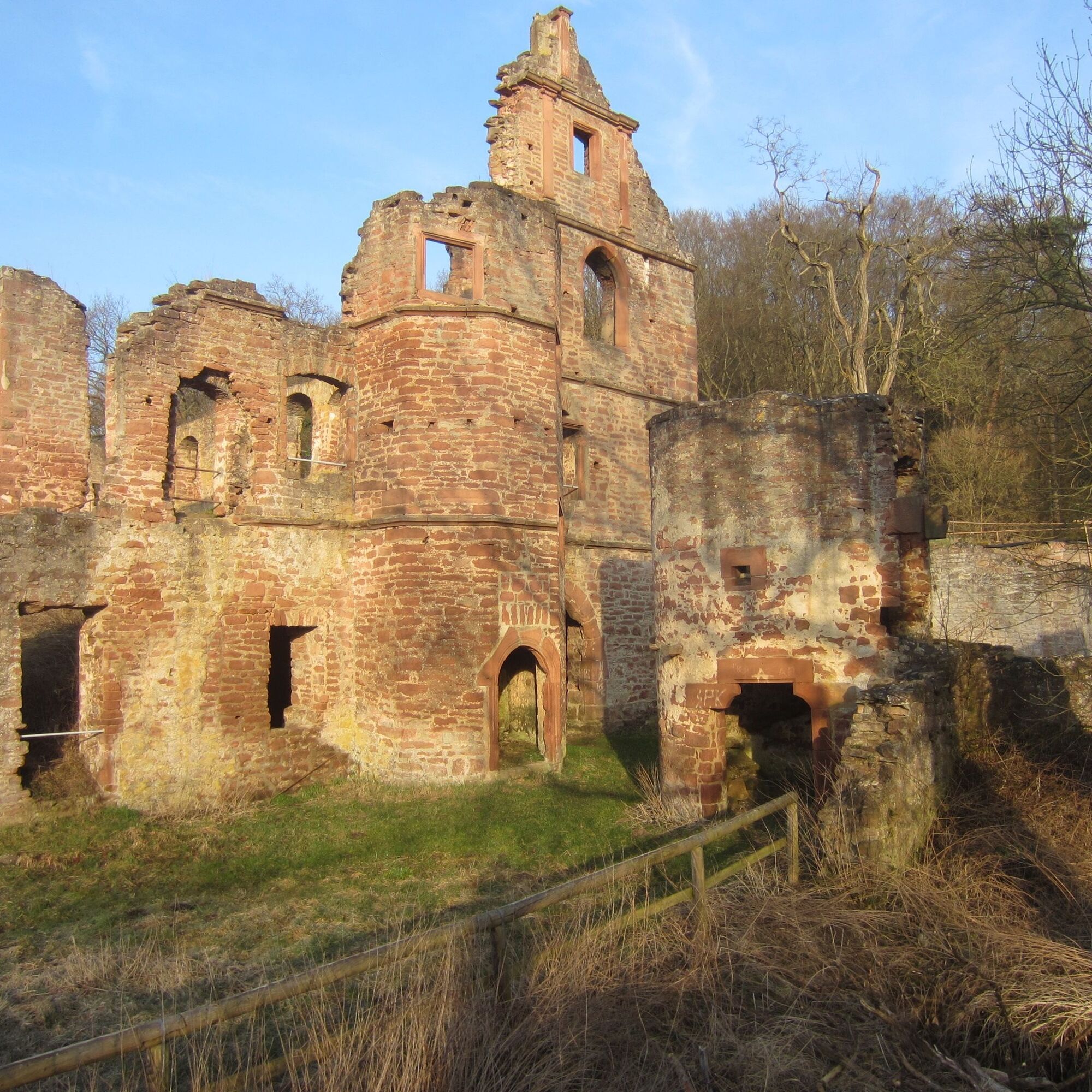
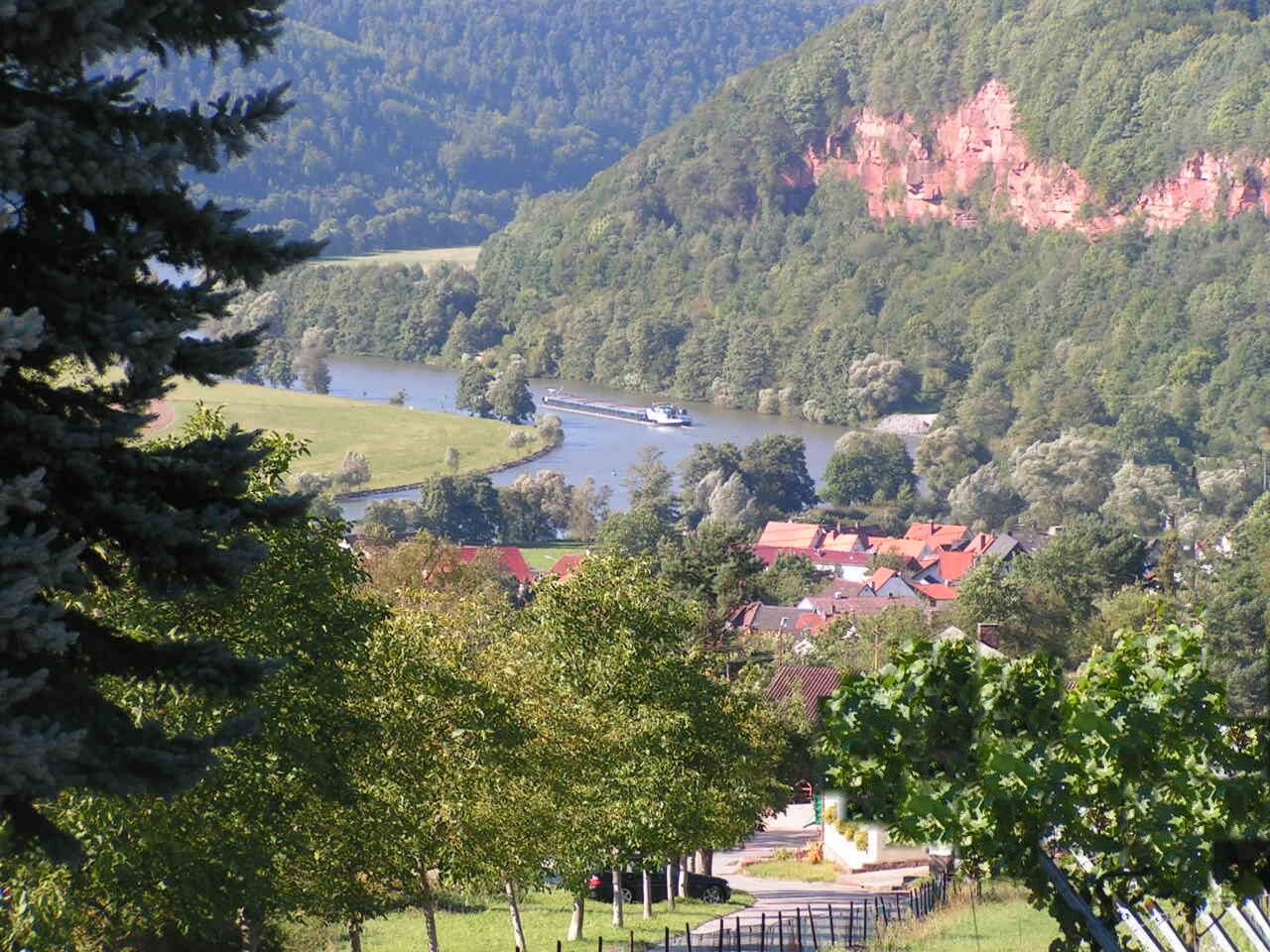
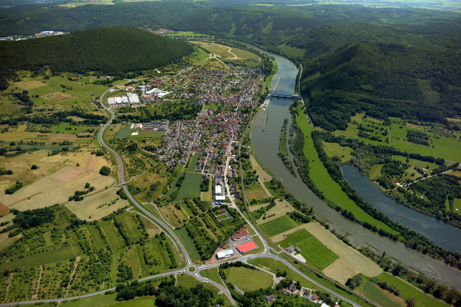
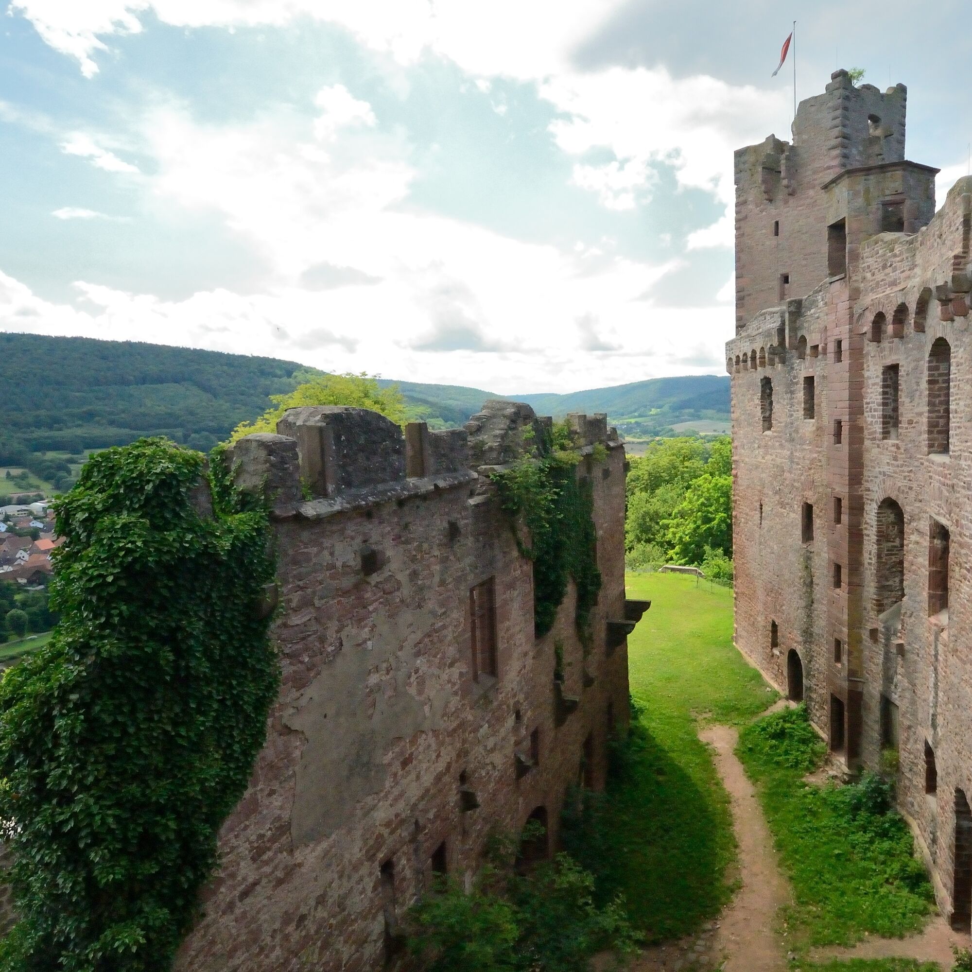
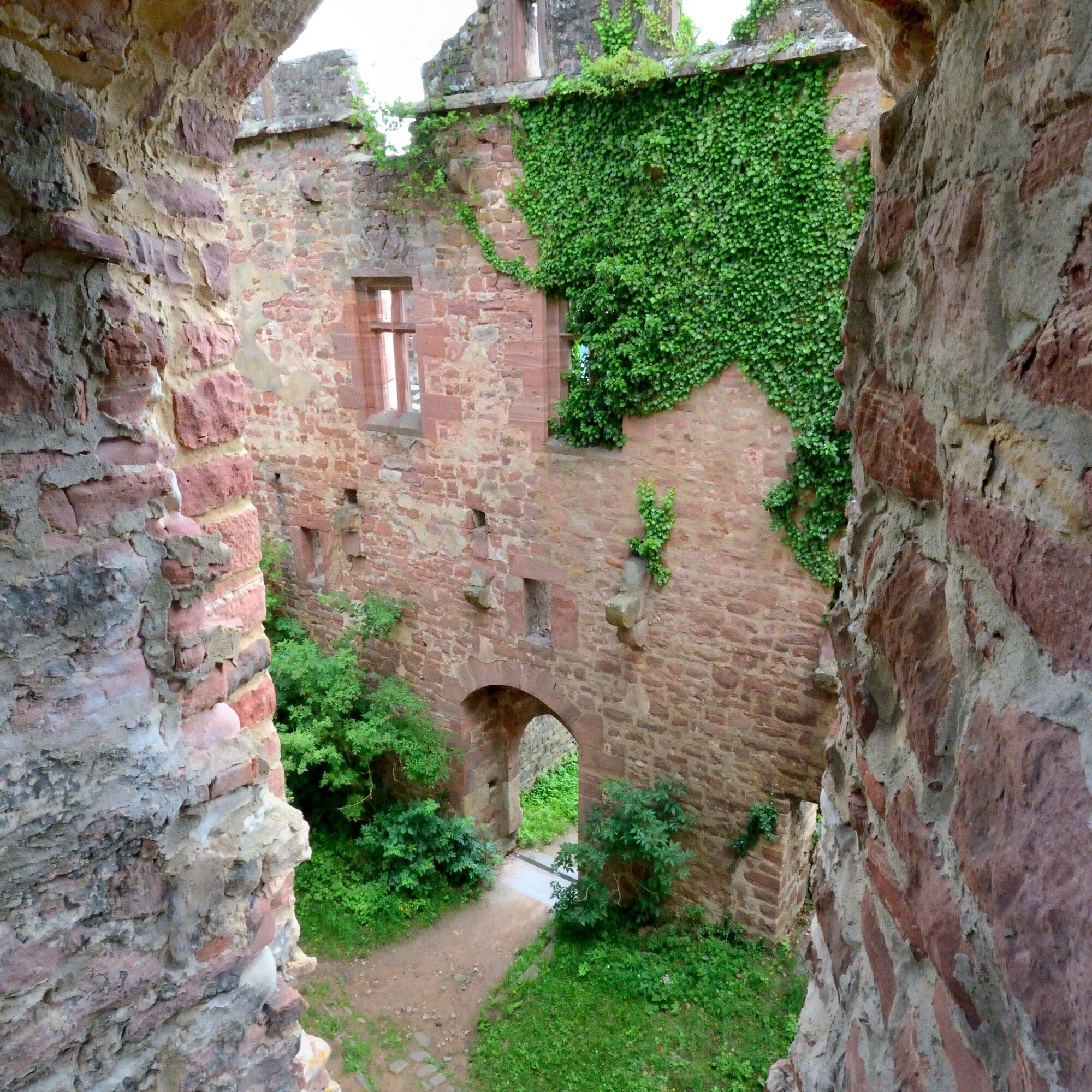
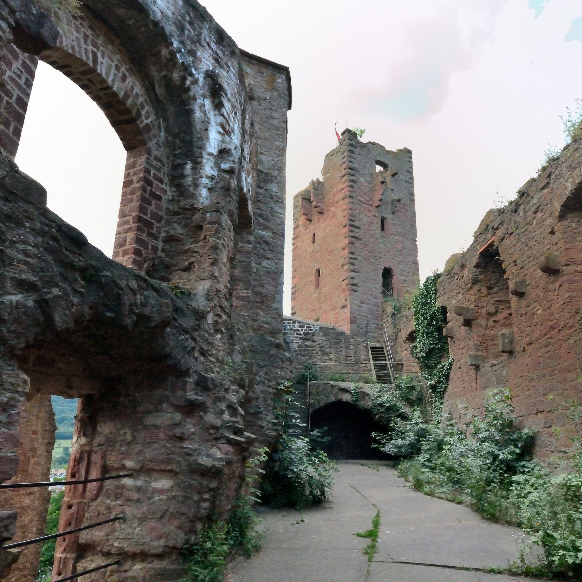
Castles and ruins towering high above the Main also tell stories from times past. They line the Main like pearls: the Collenburg and the Henneburg with its underground, walkable passages.


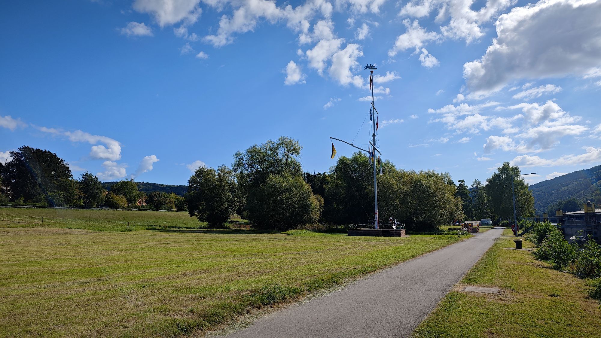
Follow the well-marked trail signs of the Franconian Mary’s Way. You can find the trail marker as an image in the gallery.
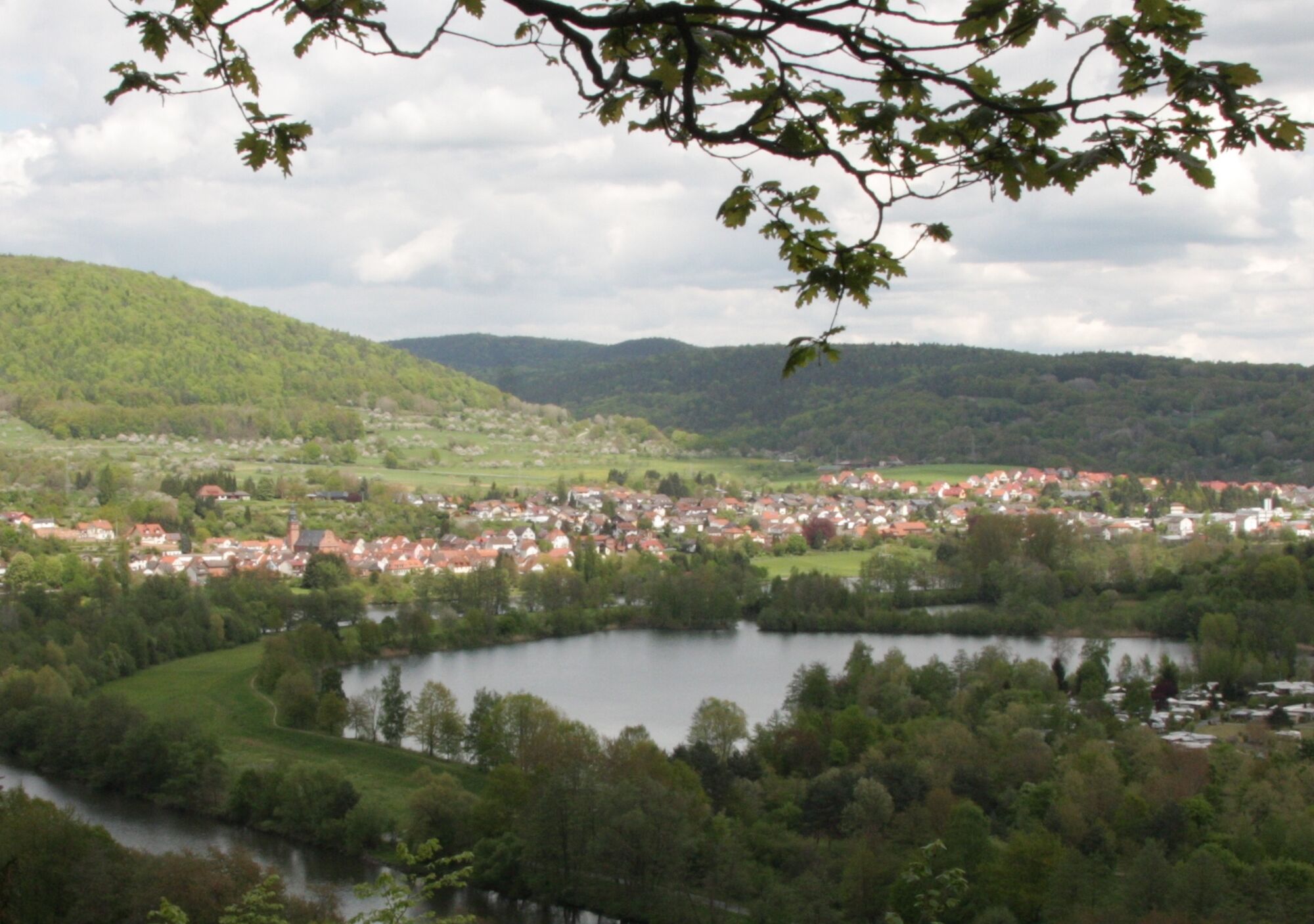
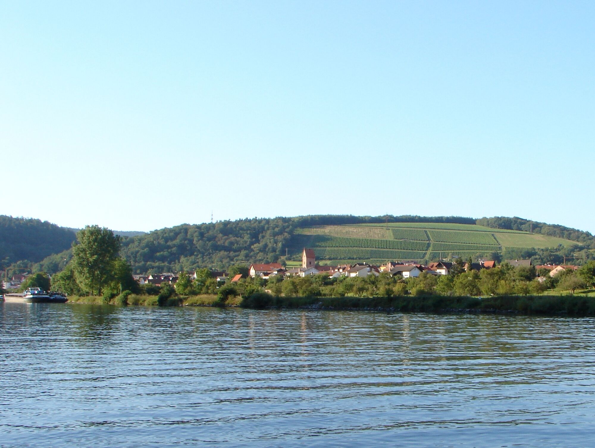
From Frankfurt via Miltenberg towards Wertheim and crossing the Main in Freudenberg, you are already in the southern Spessart.
You can find the timetable at: http://www.westfrankenbahn.de/westfrankenbahn/view/fahrplan/fahrplaene.shtml
Popularne wycieczki w okolicy
- 5,0
On the way to Himmelreich
średniWędrówka 15,0 km "Of Clay, Stones and Shards"
średniWędrówka 8,31 km- 5,0
Dorfprozelten: Kollenburg-Chapel-Route
średniWędrówka 11,8 km - 4,0
Around the Kaffelstein
światłoWędrówka 4,71 km Wertheim - Urphar - Wertheim
średniWędrówka 12,8 km- 4,0
European cultural route: "From Hecke to Häcke in Hebboch"
średniWędrówka 10,2 km - 5,0
Roman Route in Miltenberg M1
średniWędrówka 15,2 km Miltenberg - Engelberg Monastery - Kleinheubach Castle - round trip
ciężkiWędrówka 12,6 km- 5,0
Klingenberg: Hiking Trail Schnepfe
średniWędrówka 5,03 km - 4,0
Elsenfeld district Rück: Via Eichelsbach and the Himmelthal monastery through the vineyards back to the car park in Churfranken
ciężkiWędrówka 9,32 km
Wędrówki i tropienie


Nie przegap ofert i inspiracji na następne wakacje
Twój adres e-mail została dodana do listy mailingowej.