


"Of Clay, Stones and Shards"

The cultural route goes through the diversity of the Klingenberg cultural landscape: city walk, nature experience in the Seltenbach Gorge, industrial culture at the clay works, view of the Main valley...
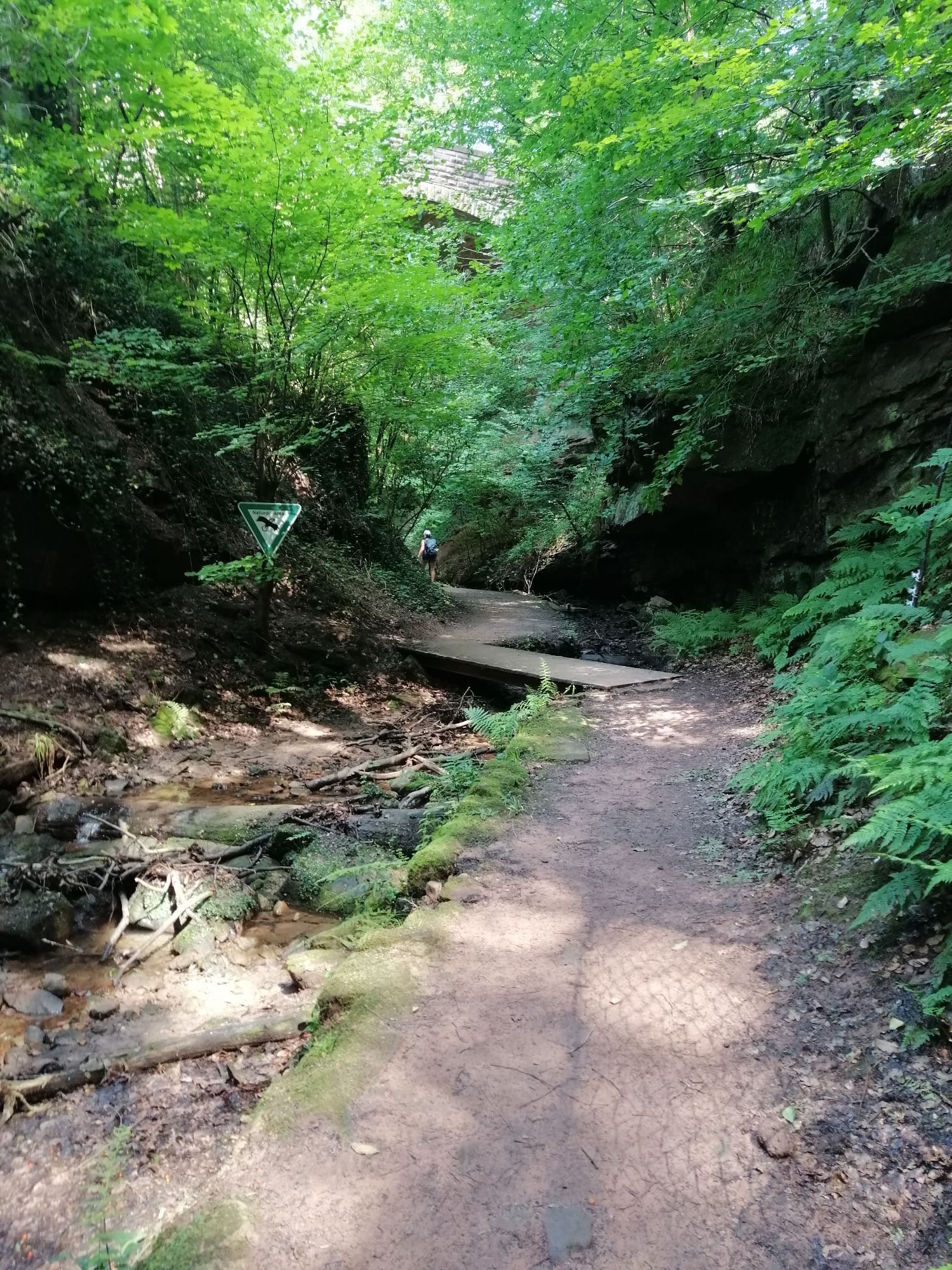
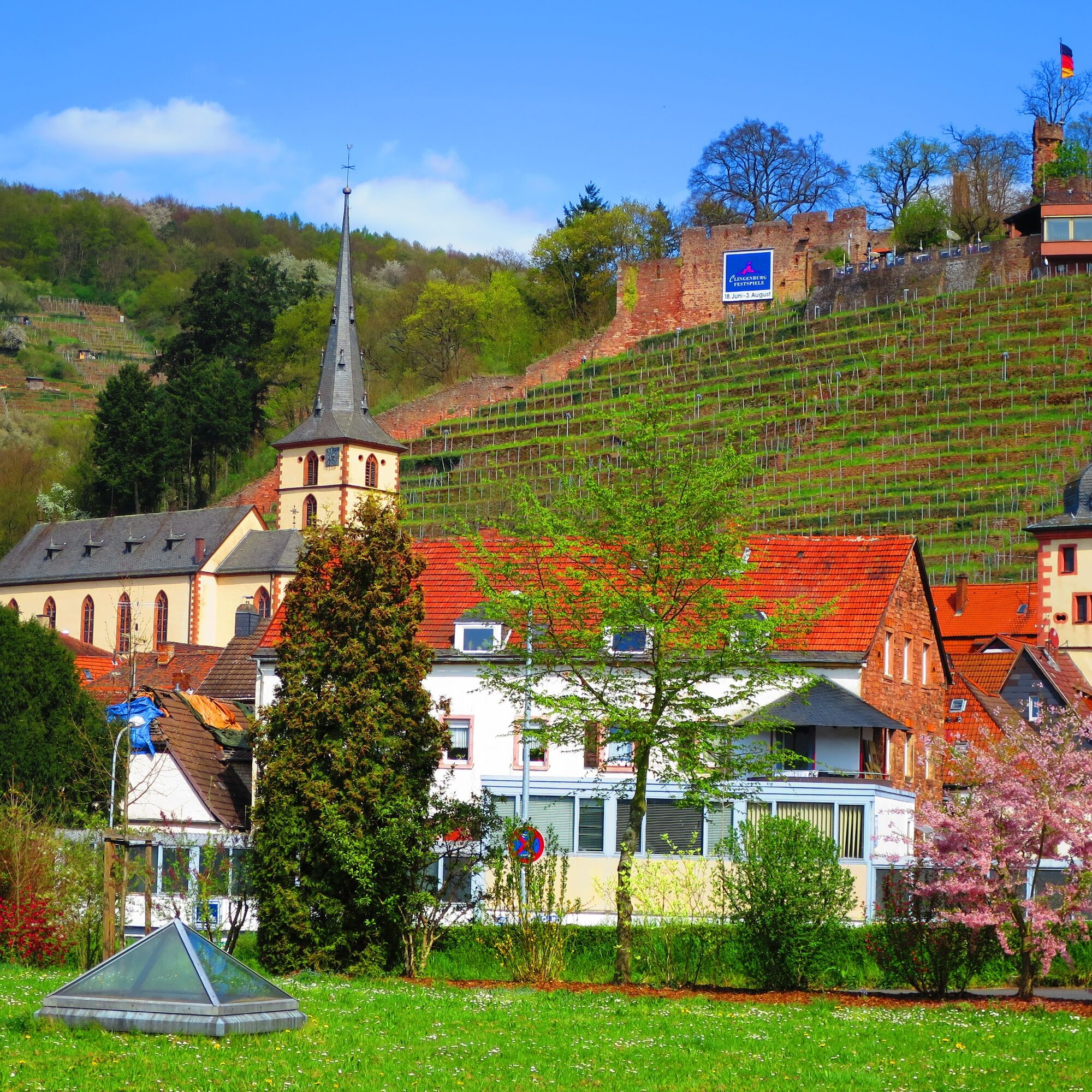
The cultural route goes through the diversity of the Klingenberg cultural landscape: city walk, nature experience in the Seltenbach Gorge, industrial culture at the clay works, view of the Main valley from the observation tower, and return past vineyards and the Clingenburg. There are short and steep ascents to overcome.

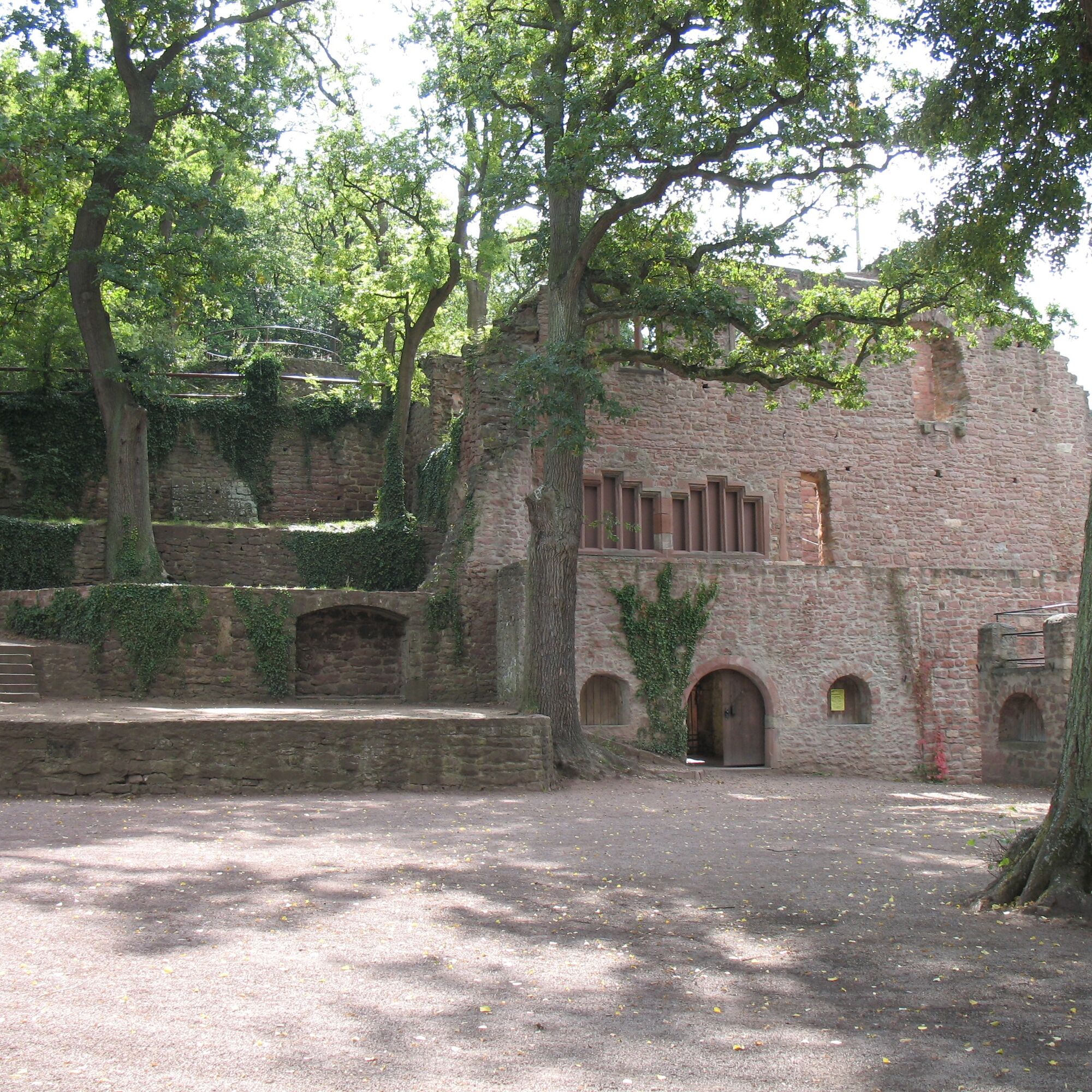
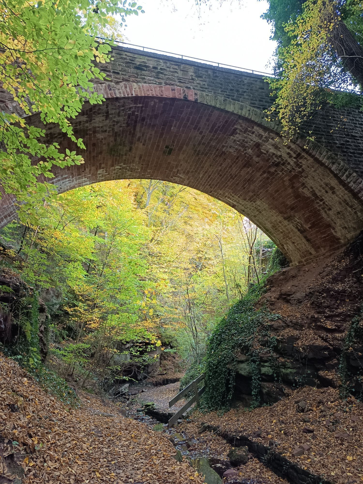
The route starts at the Klingenberg a.Main station (Station 1), runs over the Main bridge past the rose garden (Station 2) through the Klingenberg Gorge (Seltenbach Gorge Station 3) to the former Klingenberg clay works. There is a rest area (Station 4) and the opportunity to visit the bird of prey care station and the LBV station (currently under development).
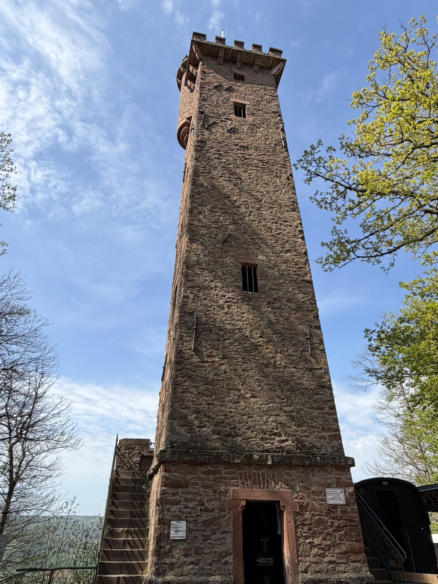
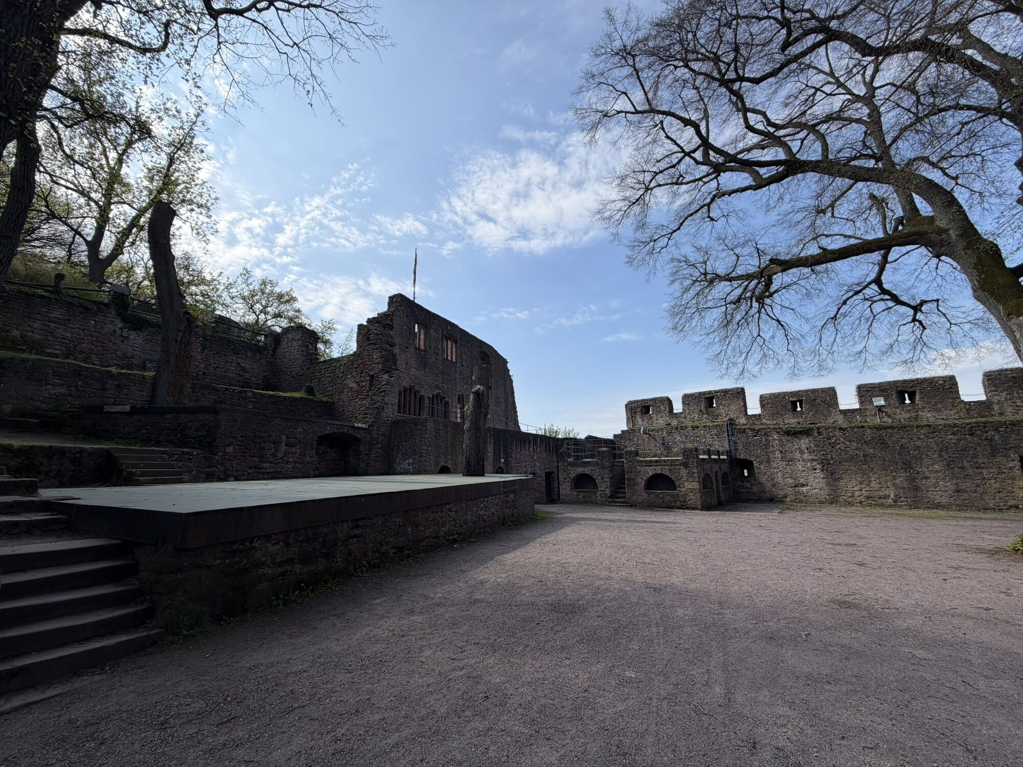
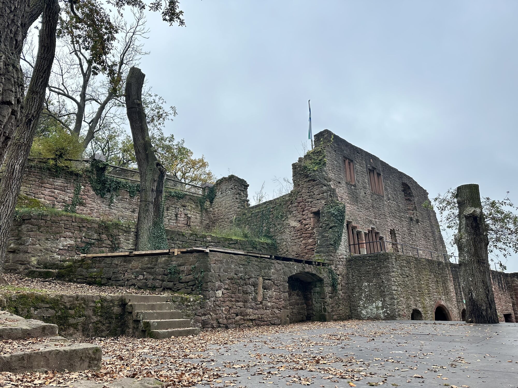
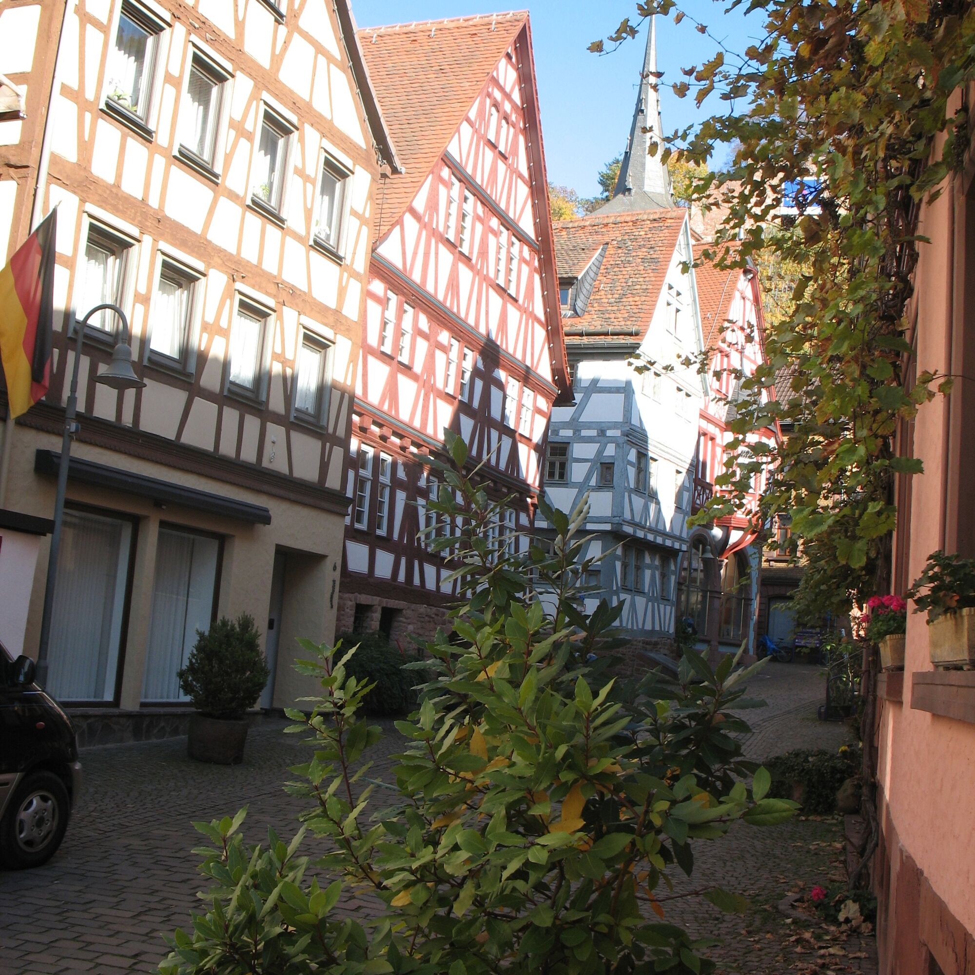
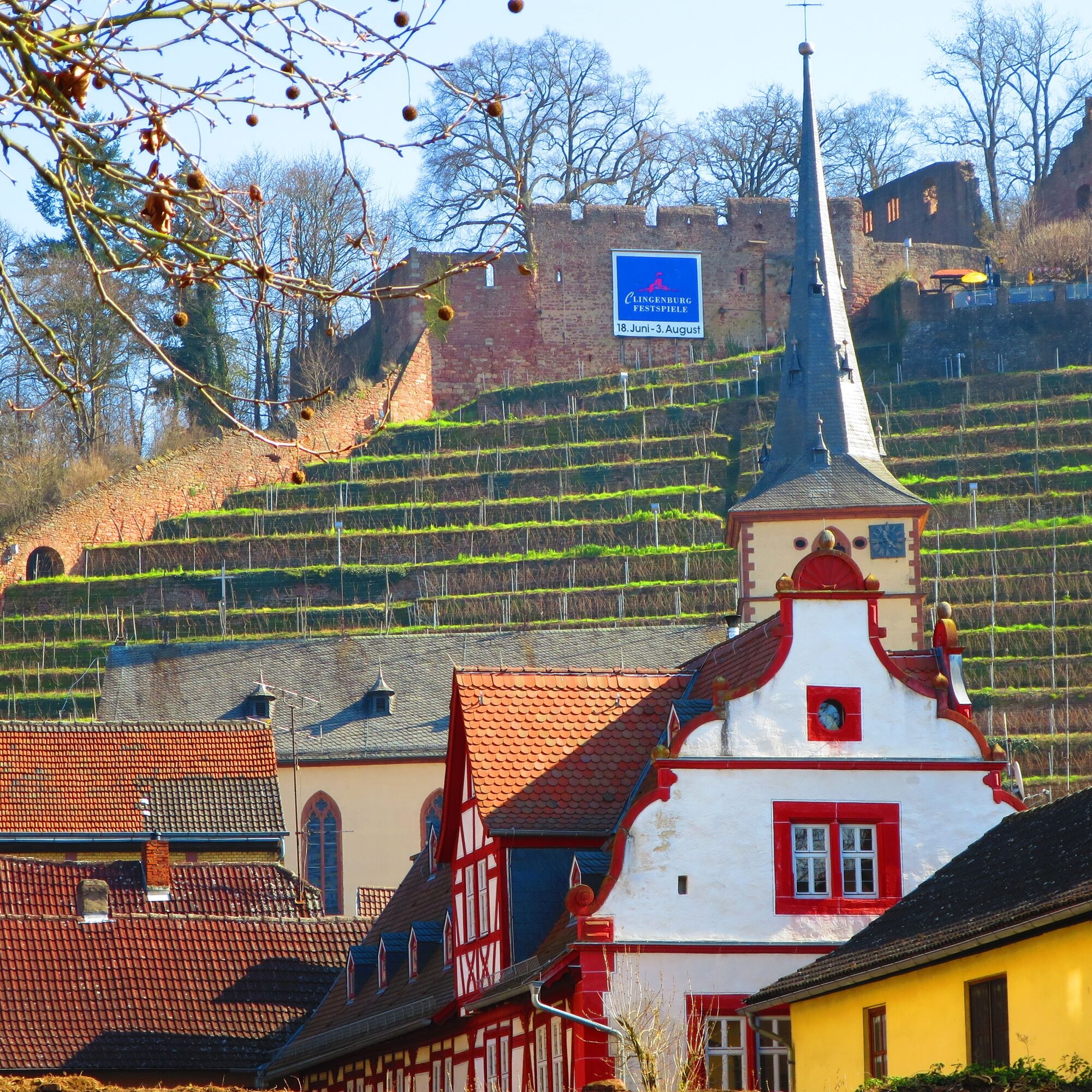
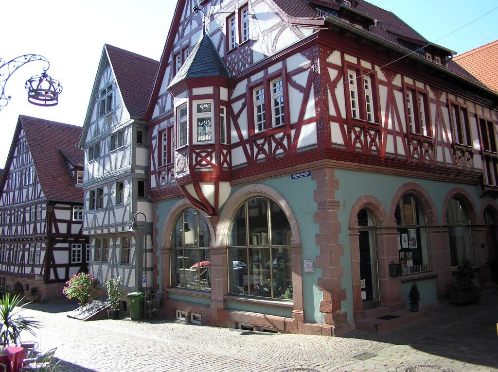
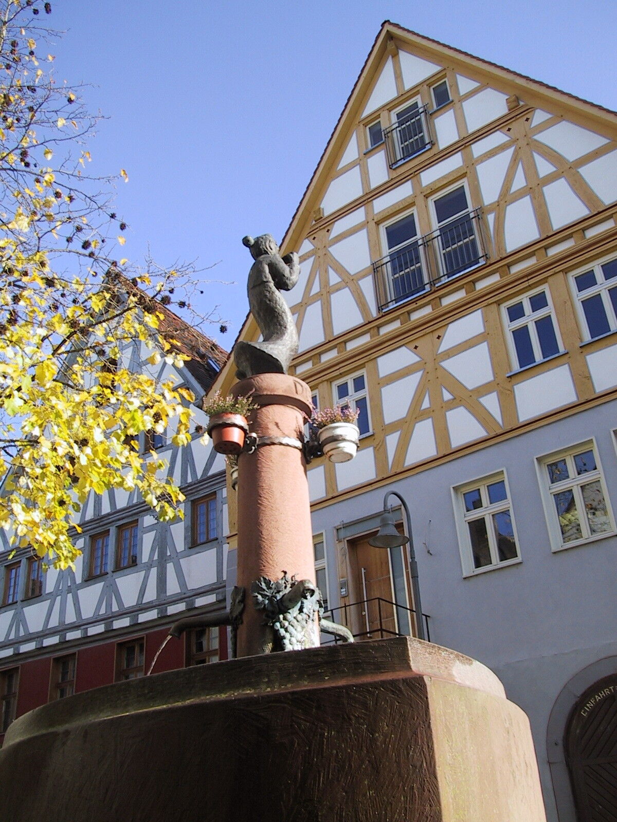
Then the path leads over the shooting house to the observation tower (Station 5) (with catering options), downhill via part of the sweet chestnut nature trail to the Clingenburg and finally past the Klingenberg Wine and Local History Museum (Station 6) back through the old town to the starting point.
Follow the marking of the yellow EU ship on a blue background.
Six stations lead through the cultural landscape of Klingenberg a.Main
Station 1: Start Station 2: Rose garden Station 3: Seltenbach Gorge Station 4: Clay works Station 5: Observation tower Station 6: Museum/Old townTo the homepage of the European Cultural Hiking Route Klingenberg: Of Clay, Stones and Shards
The path is not suitable for strollers.
Motorway A3 exit Stockstadt, continue on B469 towards Miltenberg exit Klingenberg
Arrival by Westfrankenbahn from Wertheim or Aschaffenburg to Klingenberg stop
Possible at the station in Klingenberg
On the way back, a visit to the Wine and Local History Museum in Klingenberg is recommended. Information and opening hours


Popularne wycieczki w okolicy
-
4,0
Amorbach Waldromantikweg aka. A9
średniWędrówka 9,95 km -
5,0
Kulturweg Niedernberg: Blechkatzen im Honischland
Wędrówka 10,2 km -
5,0
Dorfprozelten: Kollenburg-Chapel-Route
średniWędrówka 11,8 km -
3,0
Elsenfeld district Rück: Across the vineyards past the Red Cross to Hofstetten, return over the Hochberg to the parking lot
ciężkiWędrówka 10,6 km -
South Spessart Trail
ciężkidługodystansowy szlak pieszy 60,8 km -
Franconian Mary’s Way in the southern Spessart
średnidługodystansowy szlak pieszy 25,6 km -
Buntsandsteinweg Etappe 1 - Miltenberg
światłoWędrówka 4,65 km -
Tour zw. Heubach u Sandbach
światłoWędrówka 5,49 km -
Stadtprozelten: Nature and Stone Monuments - Circular Route 2
średniWędrówka 11,5 km -
Elsenfeld OT Rück: Along the Rück vineyards to Elsenfeld, over the Elsava and via the forest path back to Schippach to the parking lot.
średniWędrówka 8,40 km
Wędrówki i tropienie


Nie przegap ofert i inspiracji na następne wakacje
Twój adres e-mail została dodana do listy mailingowej.