






Stadtprozelten: Nature and Stone Monuments - Circular Route 2

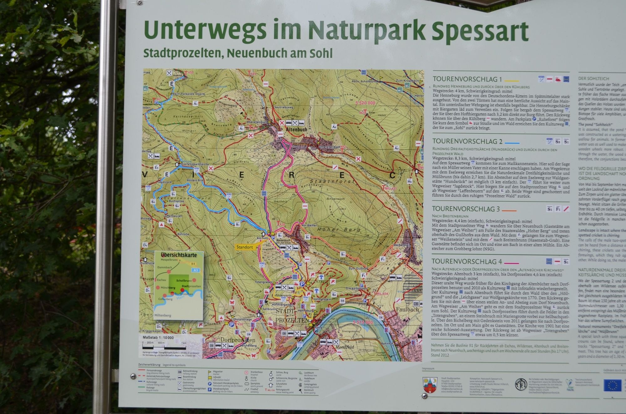
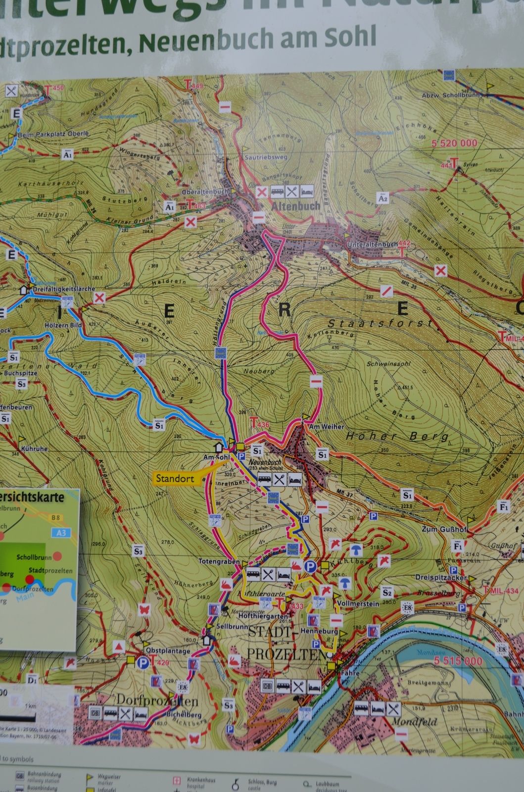
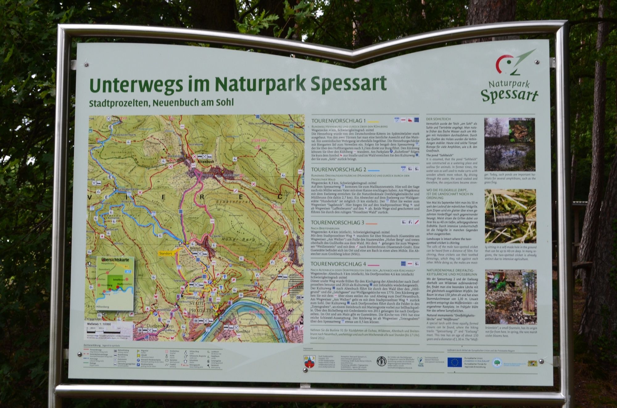
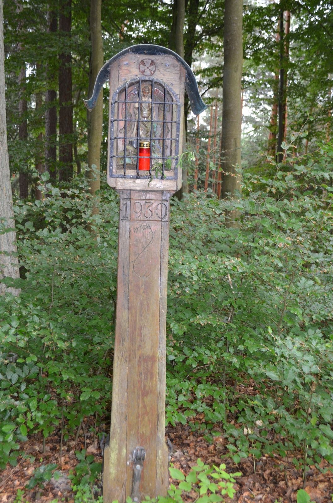
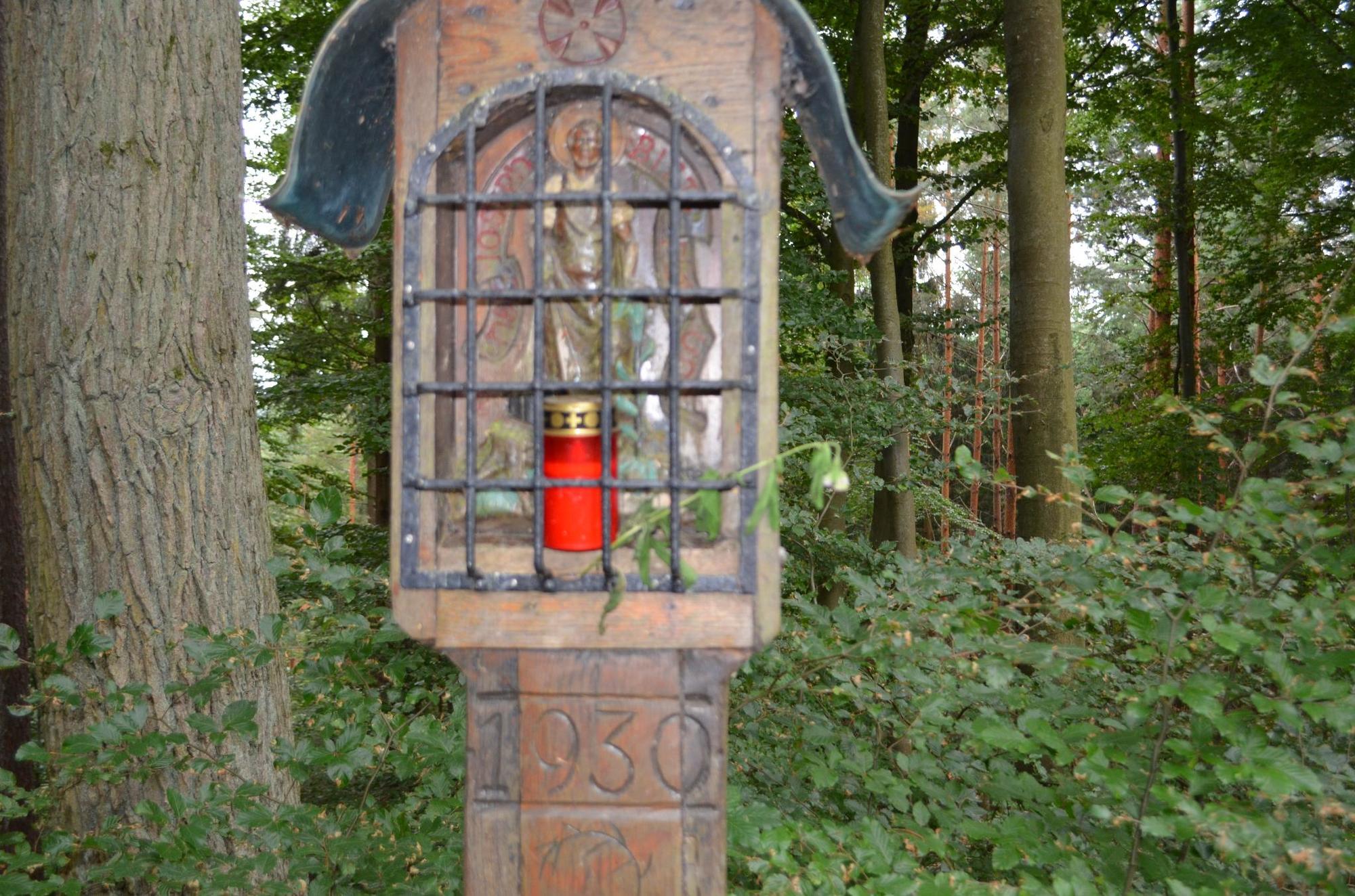
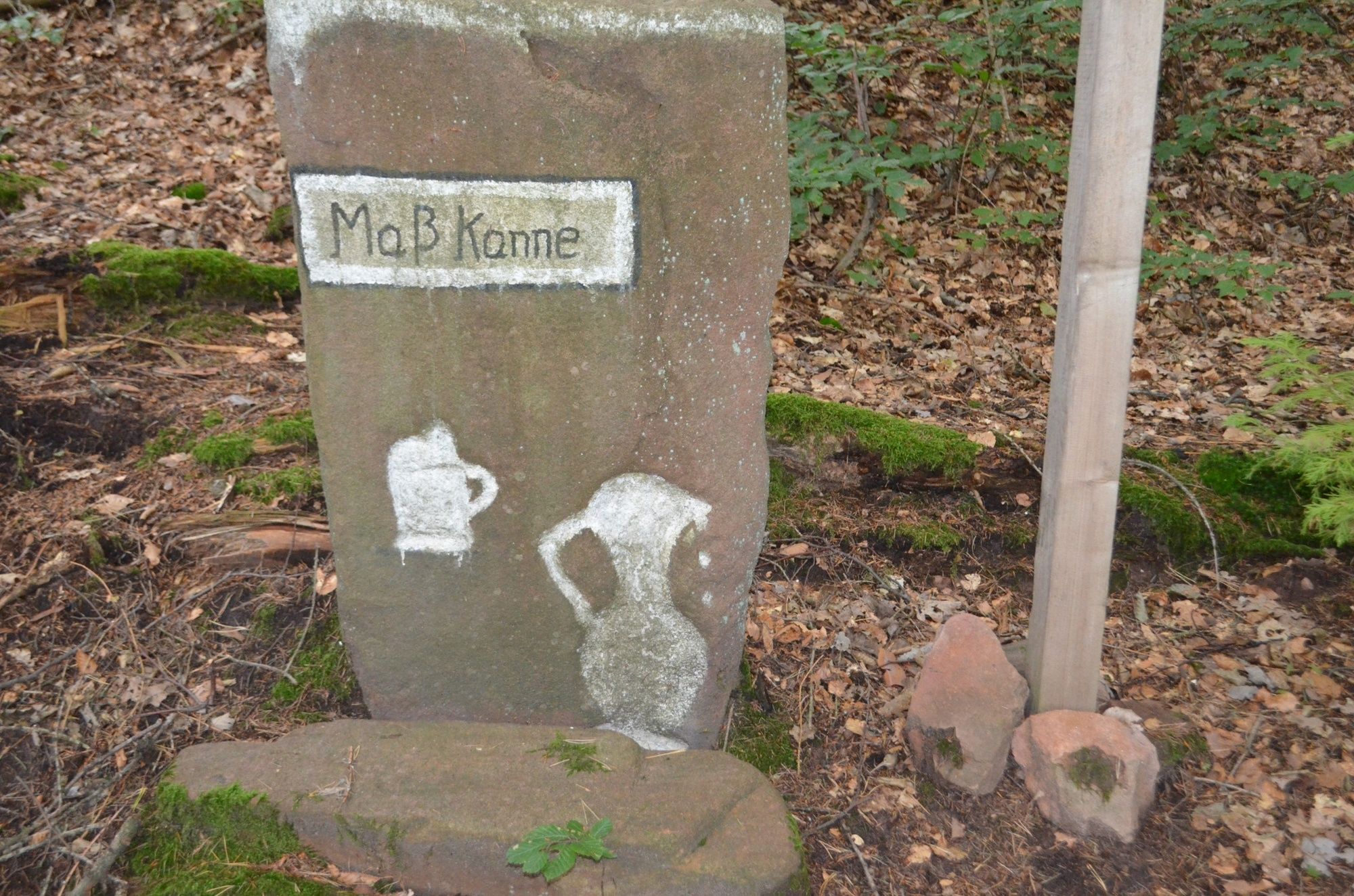
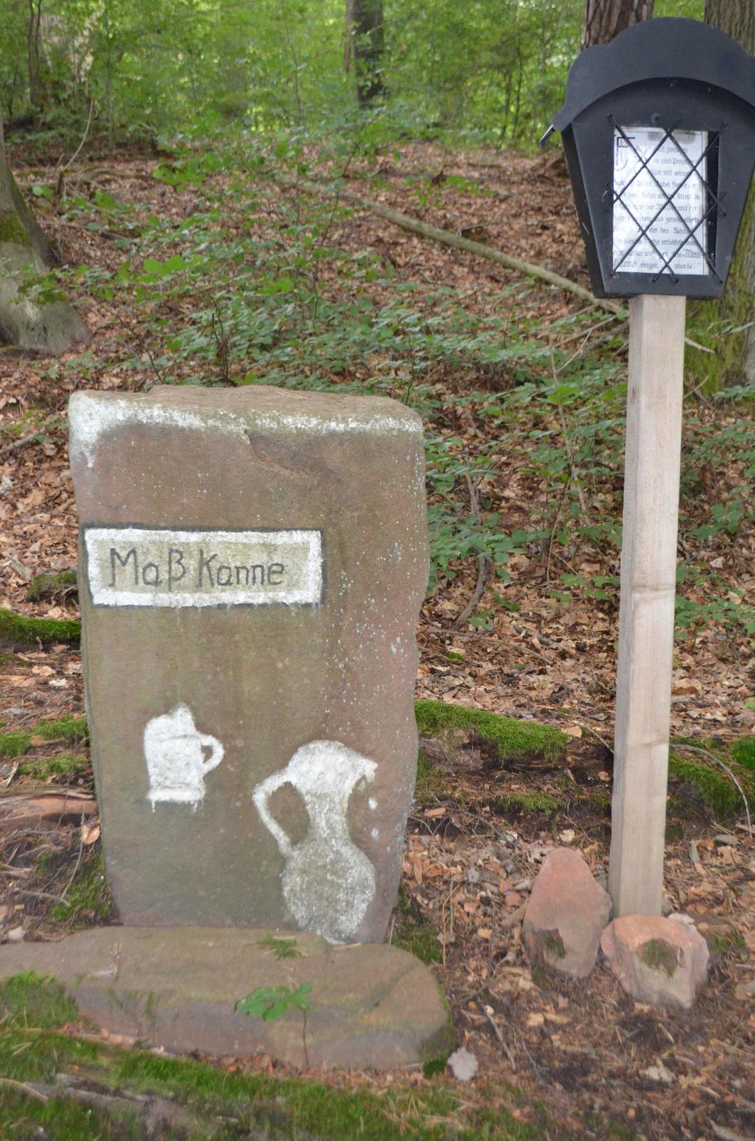
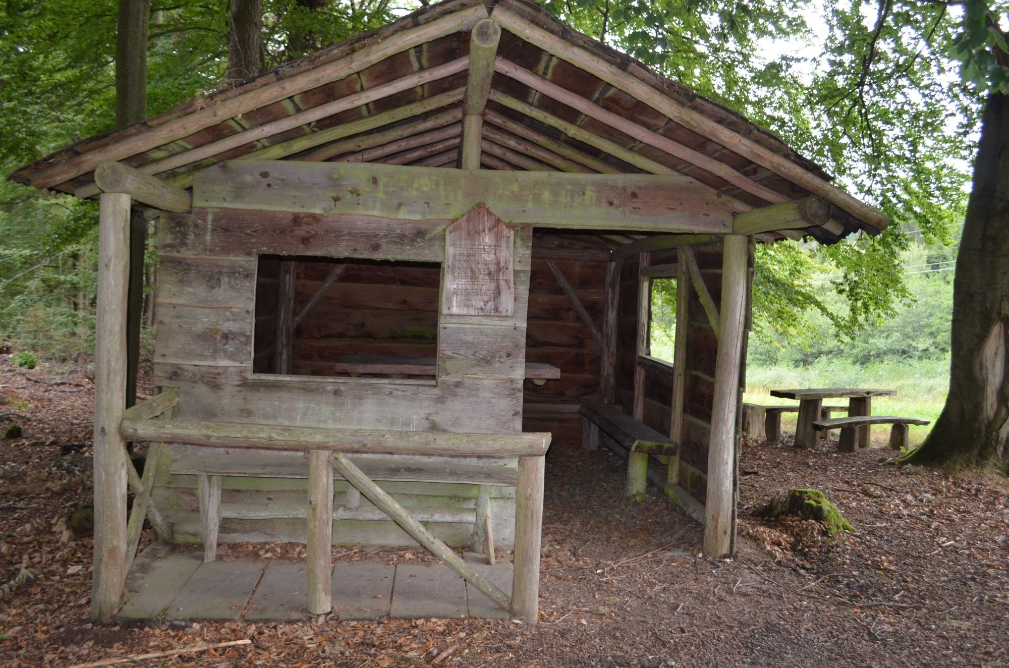
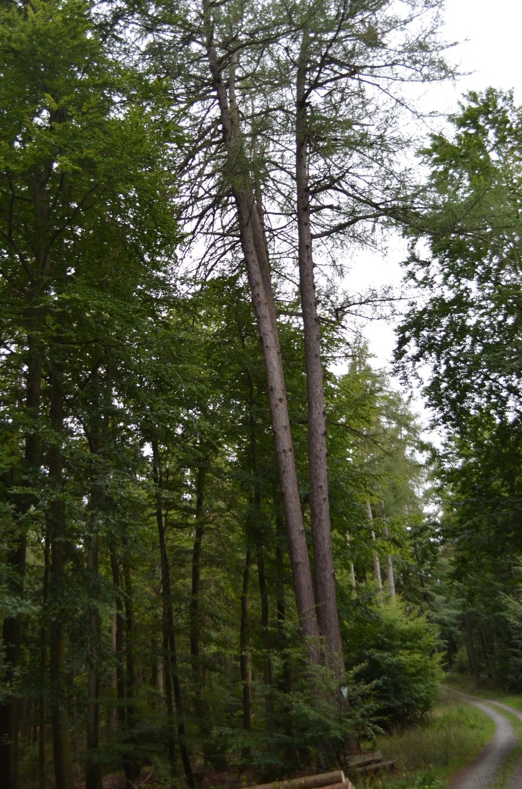
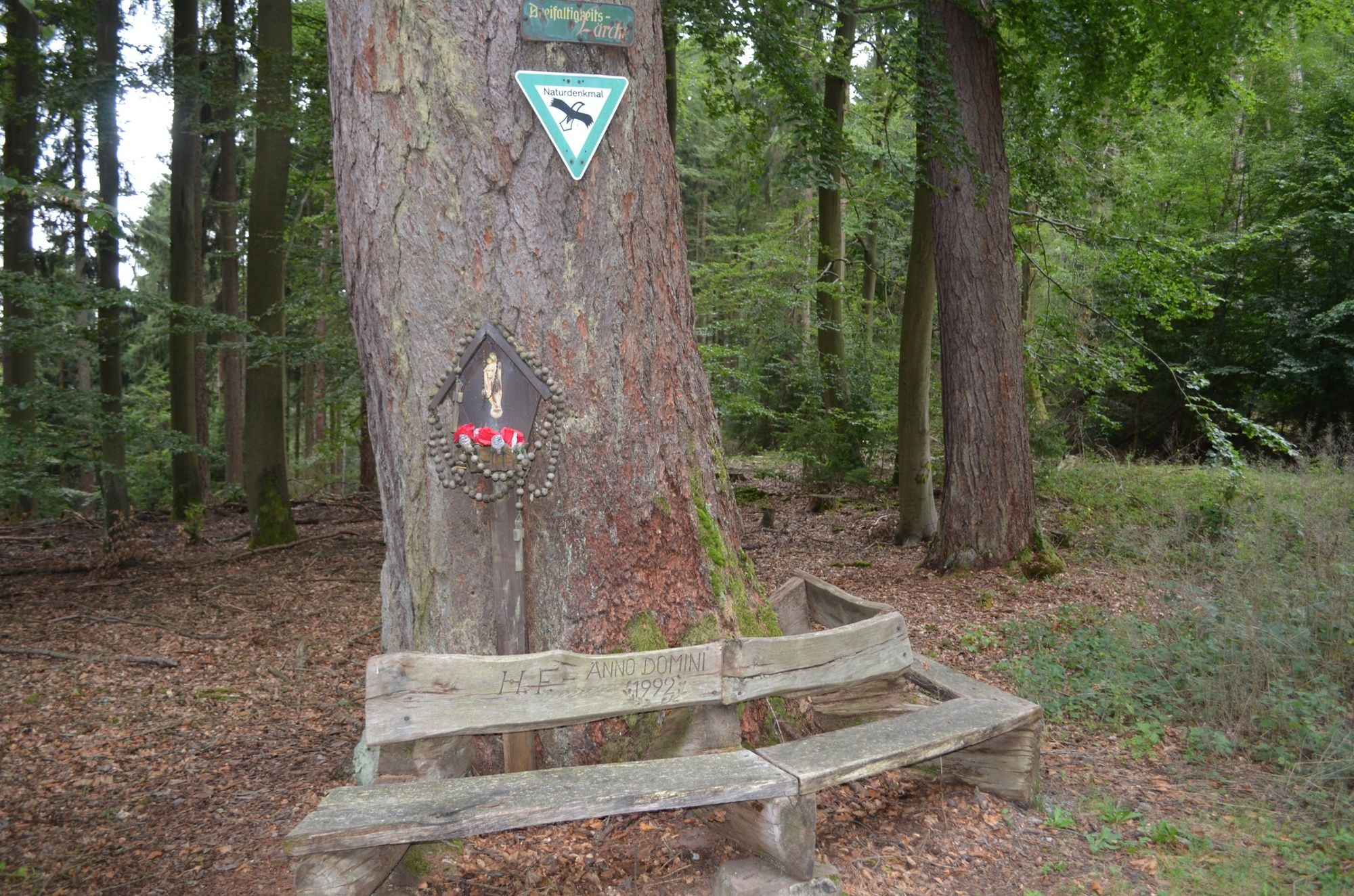
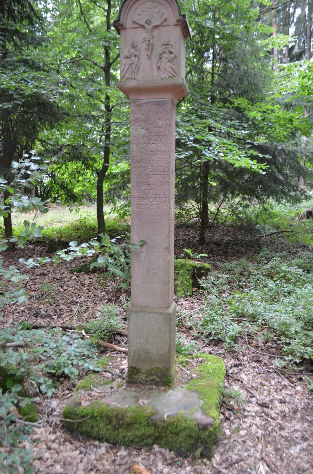
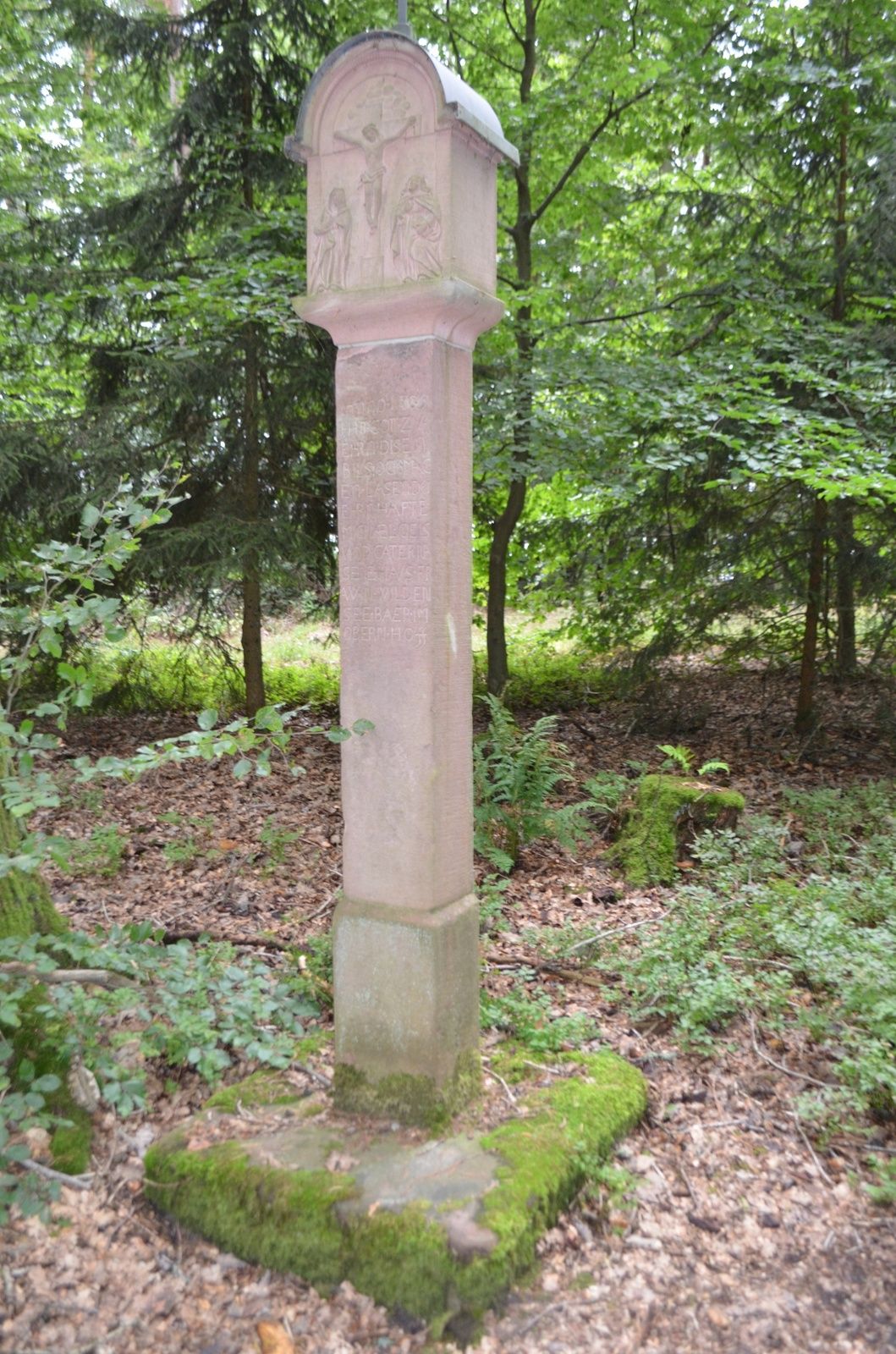
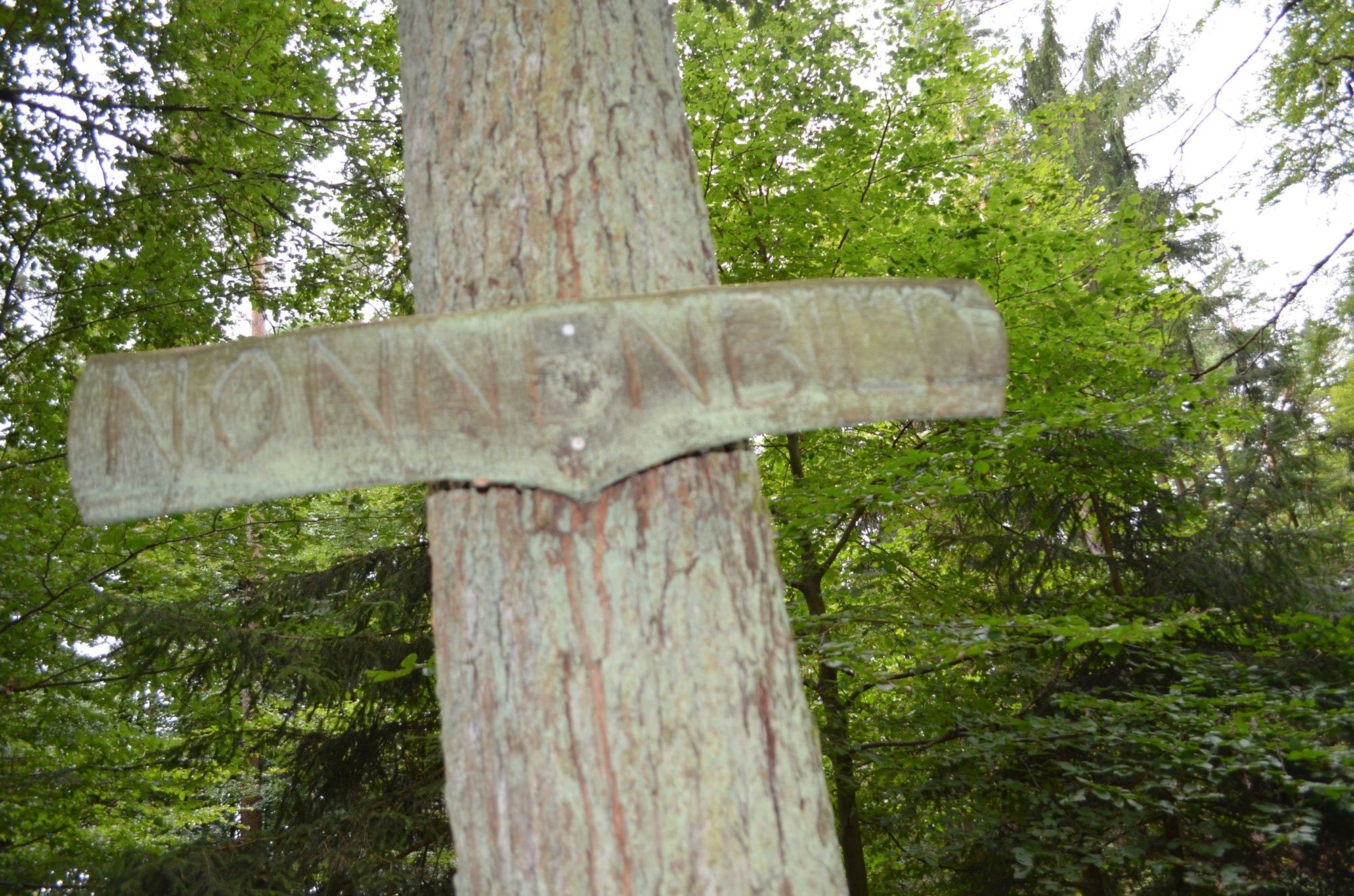

Starting from the signpost “At the pond” in Neuenbuch, we follow the course of path S1 to the left and after about 1 km reach the hiking hut “am Sohl”. On the hiking board of the Spessart Nature Park there, our further route is described under No. 2. We therefore follow Spessart Trail 2 and after about 2 km of natural forest paths meet the farm track from Neuenbuch to Wildensee, which we continue to follow up to the wayside shrine “Hölzern Bild”. Next is the memorial stone “Maßkanne”. Its history can be read on a small panel. On the further route, we come across the “Trinity larch”, a natural monument of considerable size. Here, the long-distance hiking path “Eselsweg” also crosses, which we now follow together with Spessart Trail 2 to the signpost “Jagdstock”. Continuing to follow both signs, we find the wayside shrine “Nonnenbild” after about 600 metres. From there we return to the signpost “Jagdstock” and turn right there onto path S3. After the first left turn, we are rewarded with a magnificent panoramic view of Hofthiergarten and the Odenwald lying behind it. At the soon to be reached signpost “Laffenbeuern”, the path continues downhill, now also accompanied by the path marker S1. At the signpost “Buchspitze” we follow path S1, which leads us via the “Sohl” back to the starting point in Neuenbuch.
From Miltenberg direction to Stadtprozelten take the 3rd exit on the bypass road towards Neuenbuch, in the village turn right up Obere Dorfstraße to the pond.
By train from Miltenberg or Wertheim direction to the station "Stadtprozelten". From here, the Bayrischen Untermain Transport Association (VAB) operates a bus line via Hofthiergarten to Neuenbuch. We walk via Obere Dorfstraße to the starting and end point of our hike.
On the road at the pond
Popularne wycieczki w okolicy
- 5,0
On the way to Himmelreich
średniWędrówka 15,0 km "Of Clay, Stones and Shards"
średniWędrówka 8,31 km- 4,0
Around the Kaffelstein
światłoWędrówka 4,71 km - 5,0
Dorfprozelten: Kollenburg-Chapel-Route
średniWędrówka 11,8 km Wertheim - Urphar - Wertheim
średniWędrówka 12,8 km- 4,0
European cultural route: "From Hecke to Häcke in Hebboch"
średniWędrówka 10,2 km Miltenberg - Engelberg Monastery - Kleinheubach Castle - round trip
ciężkiWędrówka 12,6 km- 5,0
Klingenberg: Hiking Trail Schnepfe
średniWędrówka 5,03 km - 4,0
Elsenfeld district Rück: Via Eichelsbach and the Himmelthal monastery through the vineyards back to the car park in Churfranken
ciężkiWędrówka 9,32 km - 3,0
Elsenfeld district Rück: Across the vineyards past the Red Cross to Hofstetten, return over the Hochberg to the parking lot
ciężkiWędrówka 10,6 km

Wędrówki i tropienie


Nie przegap ofert i inspiracji na następne wakacje
Twój adres e-mail została dodana do listy mailingowej.





