







Klingenberg: Hiking Trail Schnepfe

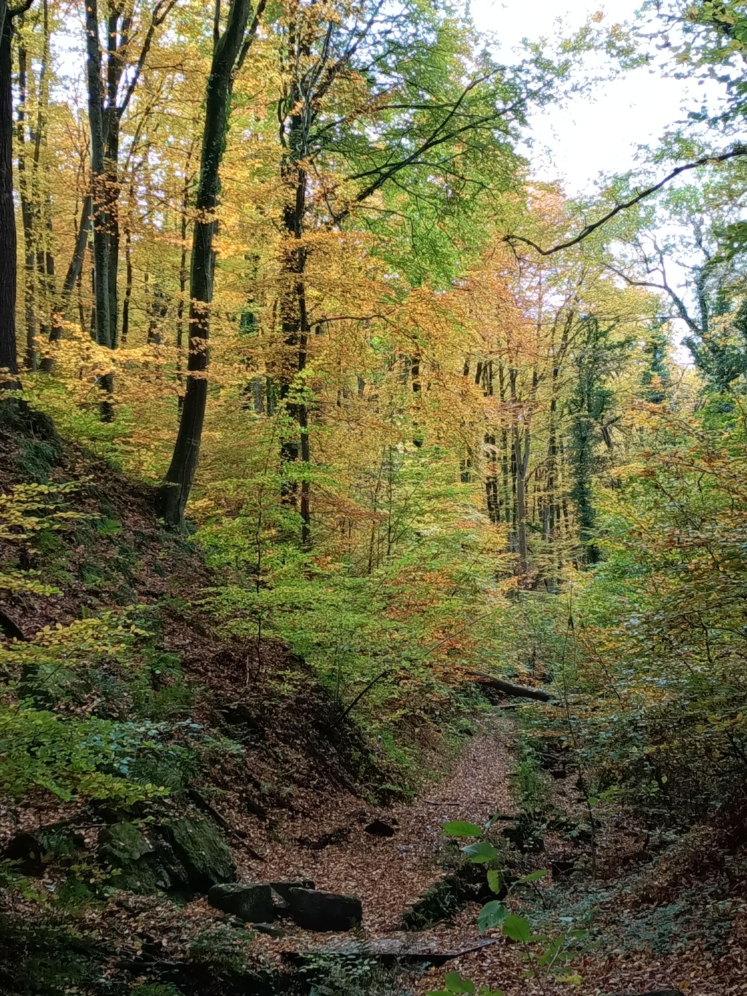

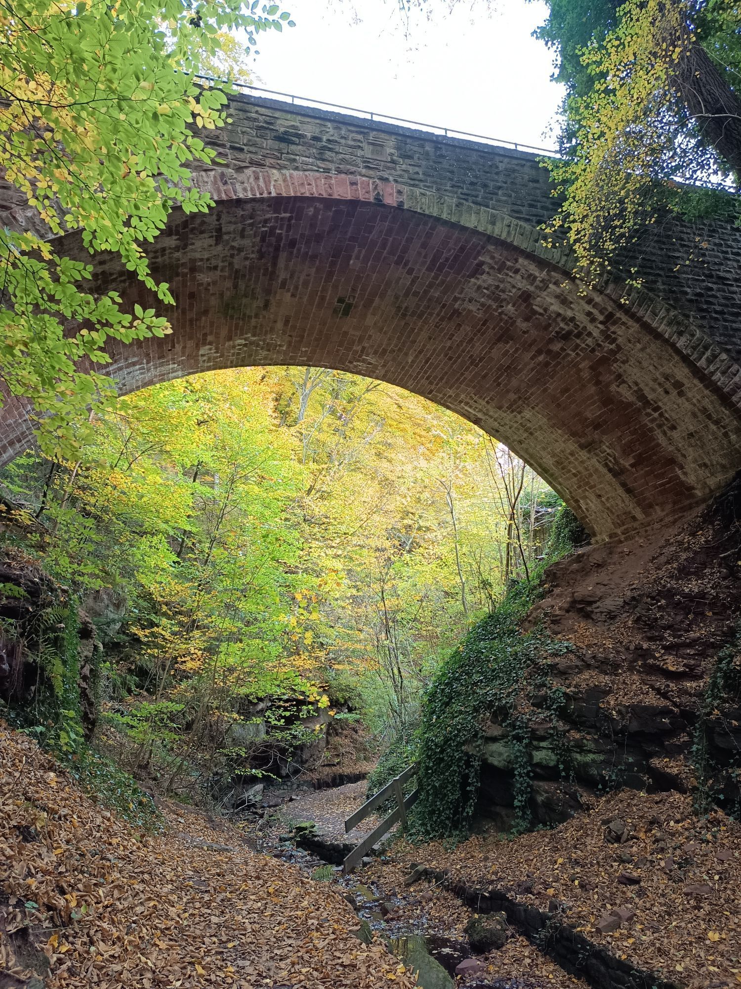
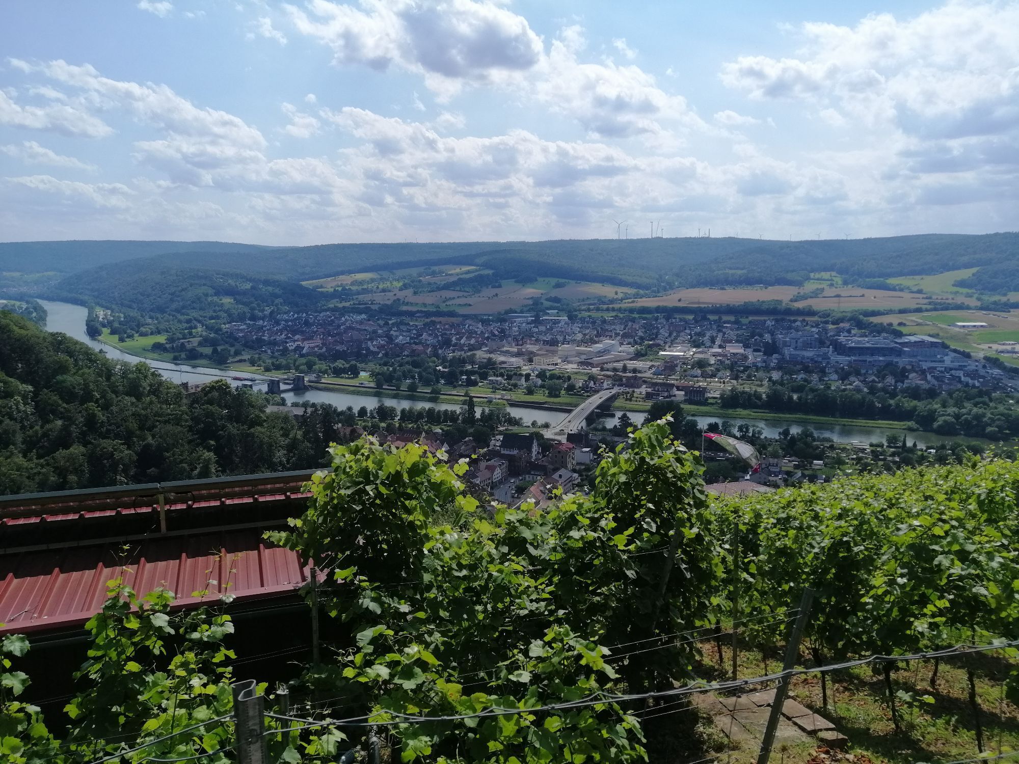
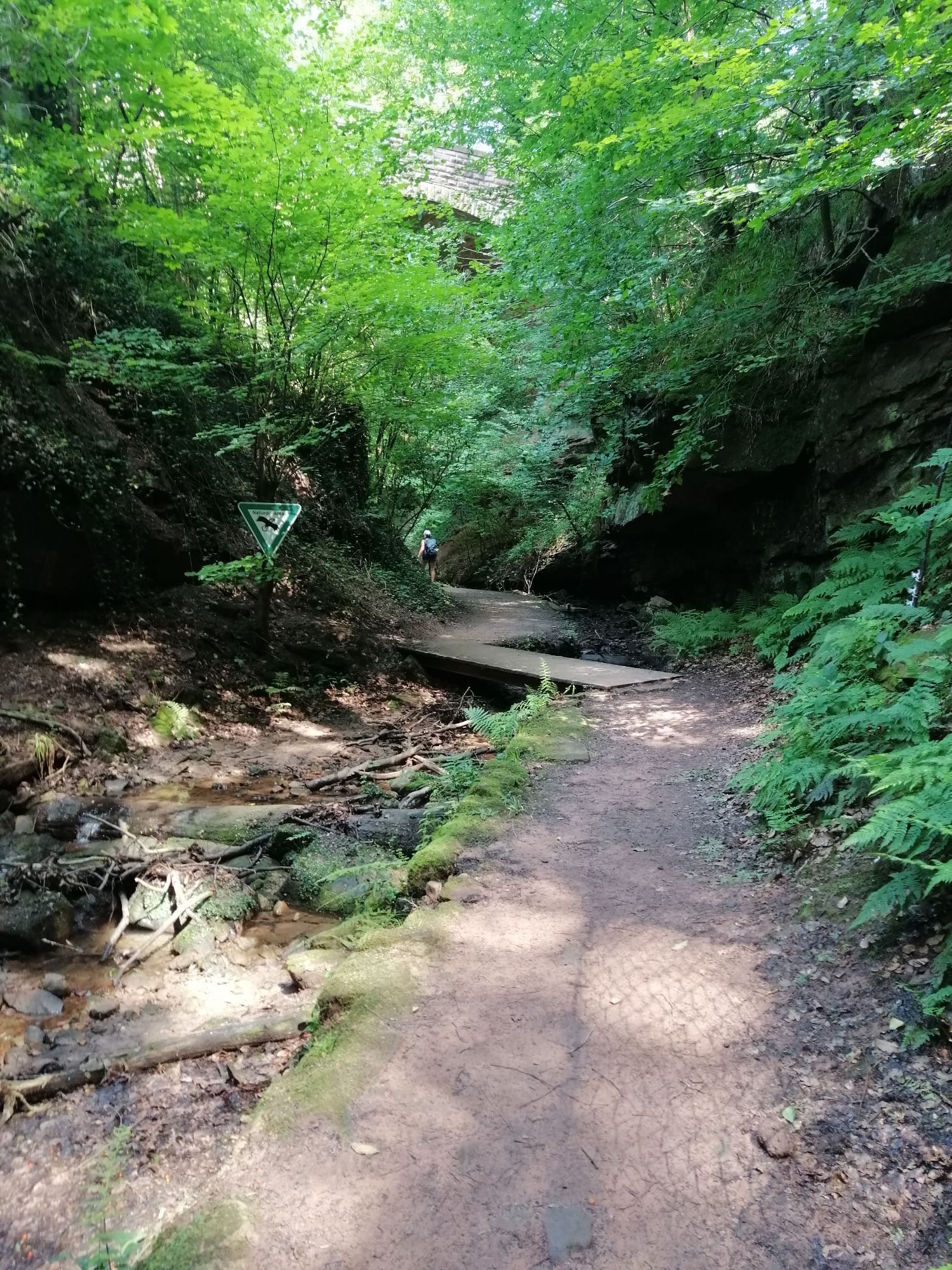


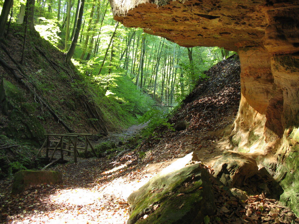
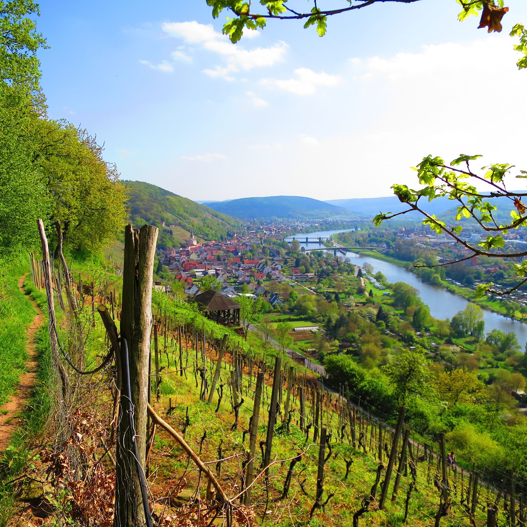
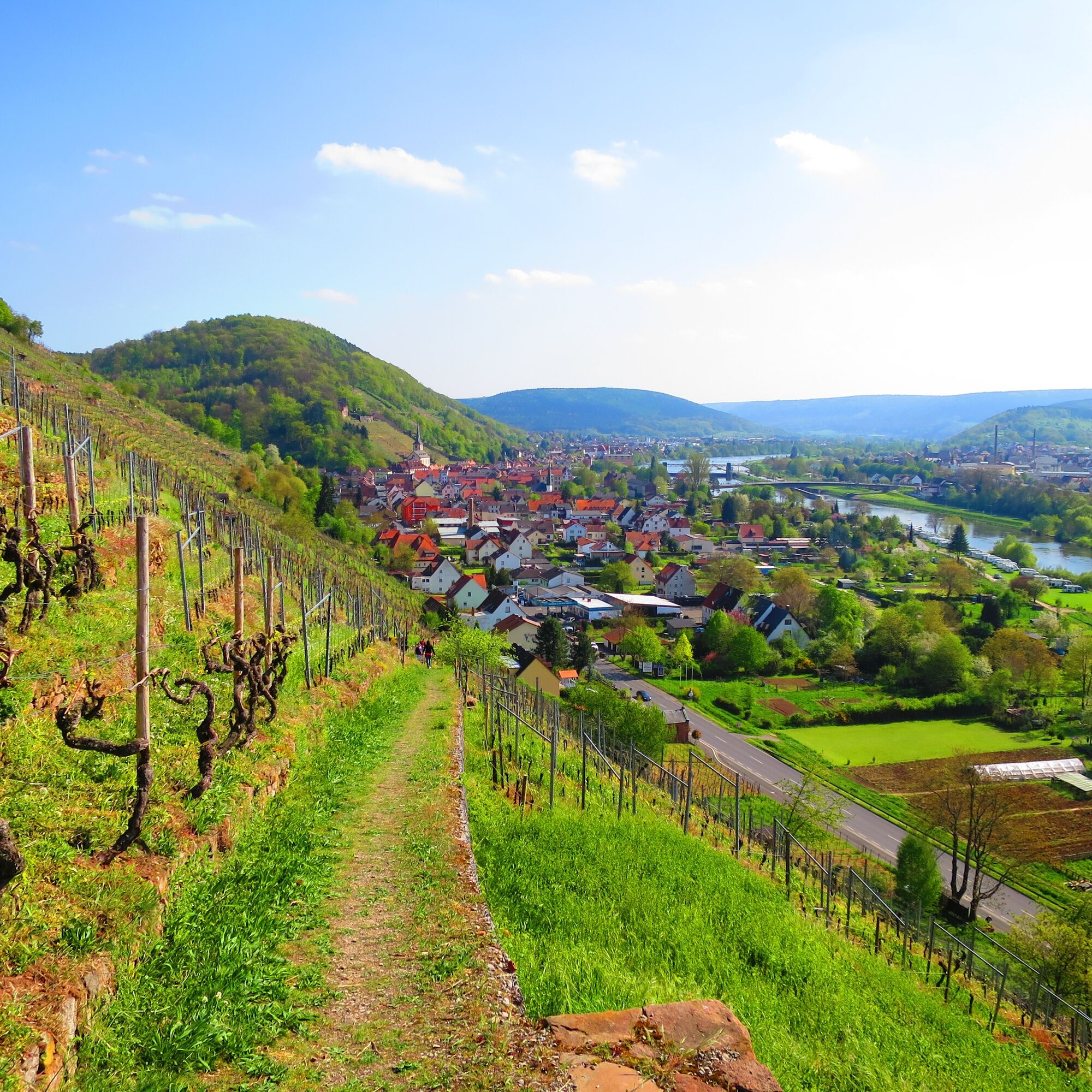

From the parking lot "Damm," you first hike through the historic old town of Klingenberg with many beautiful half-timbered houses into the Seltenbach Gorge. Impressive rock formations, created by water and erosion, catch the eye. According to the Bavarian State Office for the Environment, this natural monument is one of the most beautiful geotopes in Bavaria. At the end of the Seltenbach Gorge, we cross the two district roads to the Armesünderweg, named after the Klingenberg gallows located nearby. Between vineyards and forest, you hike northward to descend back into the valley near the Klingenberg Pavilion. Continuing along the Röterspfad, an old footpath between the terrace vineyards, you return to Klingenberg at the hiking parking lot. At many points along this route, you have beautiful views of the Main Valley. Here, the Main River impressively cuts through the two mountain ranges Odenwald and Spessart.
Tak
Winzerfestplatz


Popularne wycieczki w okolicy
"Of Clay, Stones and Shards"
średniWędrówka 8,31 km- 5,0
Dorfprozelten: Kollenburg-Chapel-Route
średniWędrówka 11,8 km - 5,0
Roman Route in Miltenberg M1
ciężkiWędrówka 15,3 km Obernburg - Eisenbach round
średniWędrówka 10,7 kmMainRadweg Wertheim bis Miltenberg
Jazda na rowerze 35,7 km- 4,0
European cultural route: "From Hecke to Häcke in Hebboch"
średniWędrówka 10,2 km - 5,0
Rüdenau mountain hike R1
ciężkiWędrówka 13,8 km Nibelungensteig - 6th stage from Miltenberg to Amorbach
ciężkiWędrówka 13,2 kmMiltenberg - Engelberg Monastery - Kleinheubach Castle - round trip
ciężkiWędrówka 12,6 km- 3,0
Franconian Red Wine Hiking Route - 4th stage from Erlenbach to Klingenberg
światłoWędrówka 4,08 km
Wędrówki i tropienie


Nie przegap ofert i inspiracji na następne wakacje
Twój adres e-mail została dodana do listy mailingowej.





