







Franconian Red Wine Hiking Route - 4th stage from Erlenbach to Klingenberg



The fourth stage is the shortest section of the Franconian Red Wine Hiking Route and takes us from Erlenbach on the steep riverside slope high above the Main to Klingenberg. This route passes through the...
The fourth stage is the shortest section of the Franconian Red Wine Hiking Route and takes us from Erlenbach on the steep riverside slope high above the Main to Klingenberg. This route passes through the terroir f Churfranken, one of the magical places of Franconian wine with the theme “Steep slope, Buntsandstein and sun – the winemaker's gold“.



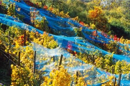

At a small green area with some benches, we turn left into Mechenharder Straße. We cross a pedestrian traffic light and on the other side of the street go up the right side of Mechenharder Straße to the Erlenbach swimming pool. An always up-to-date notice here informs about the current seasonal wine tavern. Shortly after the swimming pool we hike to the right until a staircase appears on the left side. It leads us to a pavilion from which we have a beautiful view of Erlenbach and the opposite Wörth.
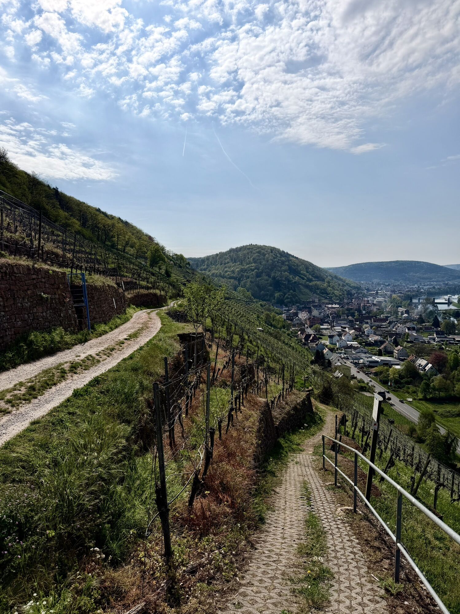
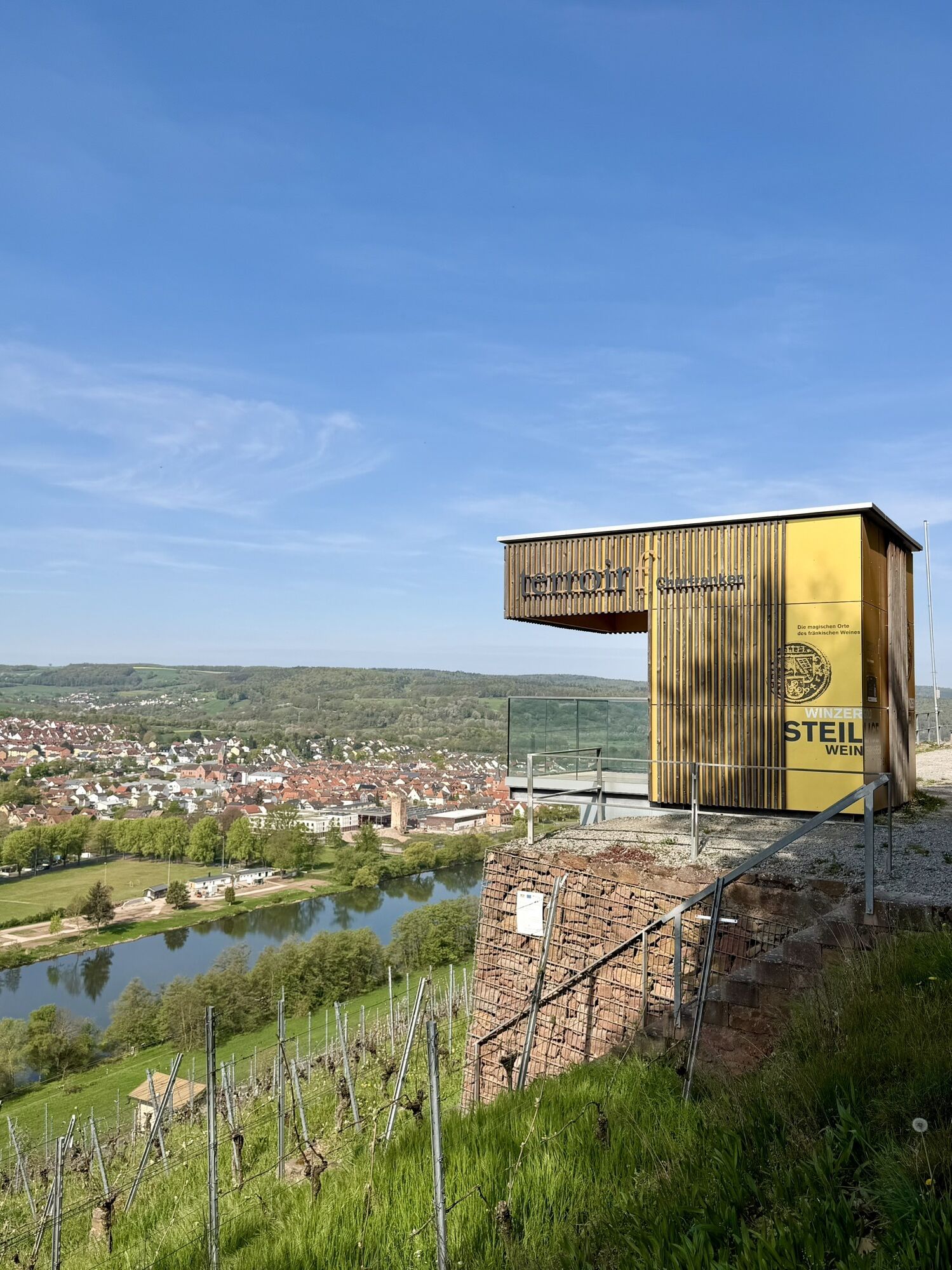
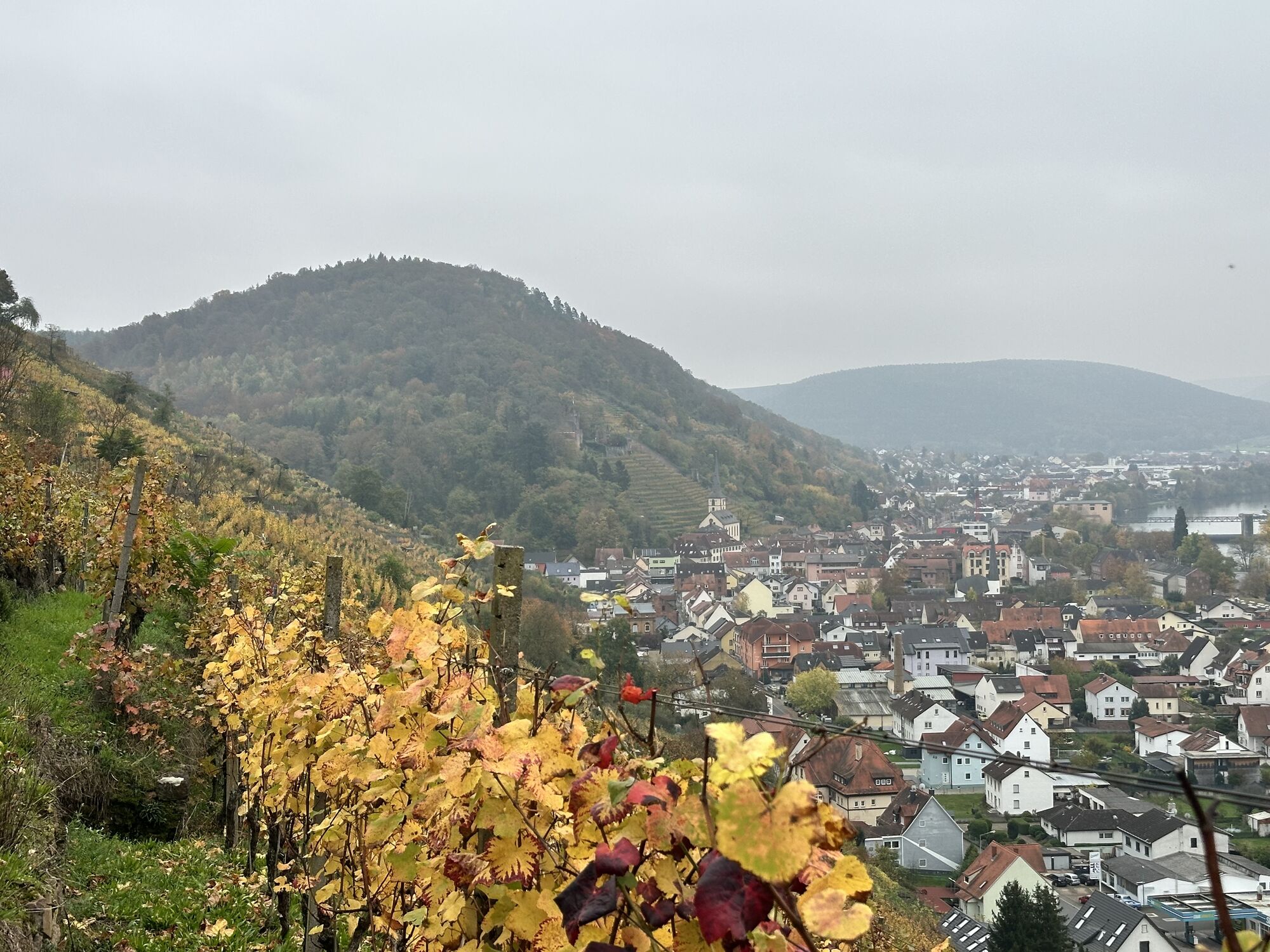
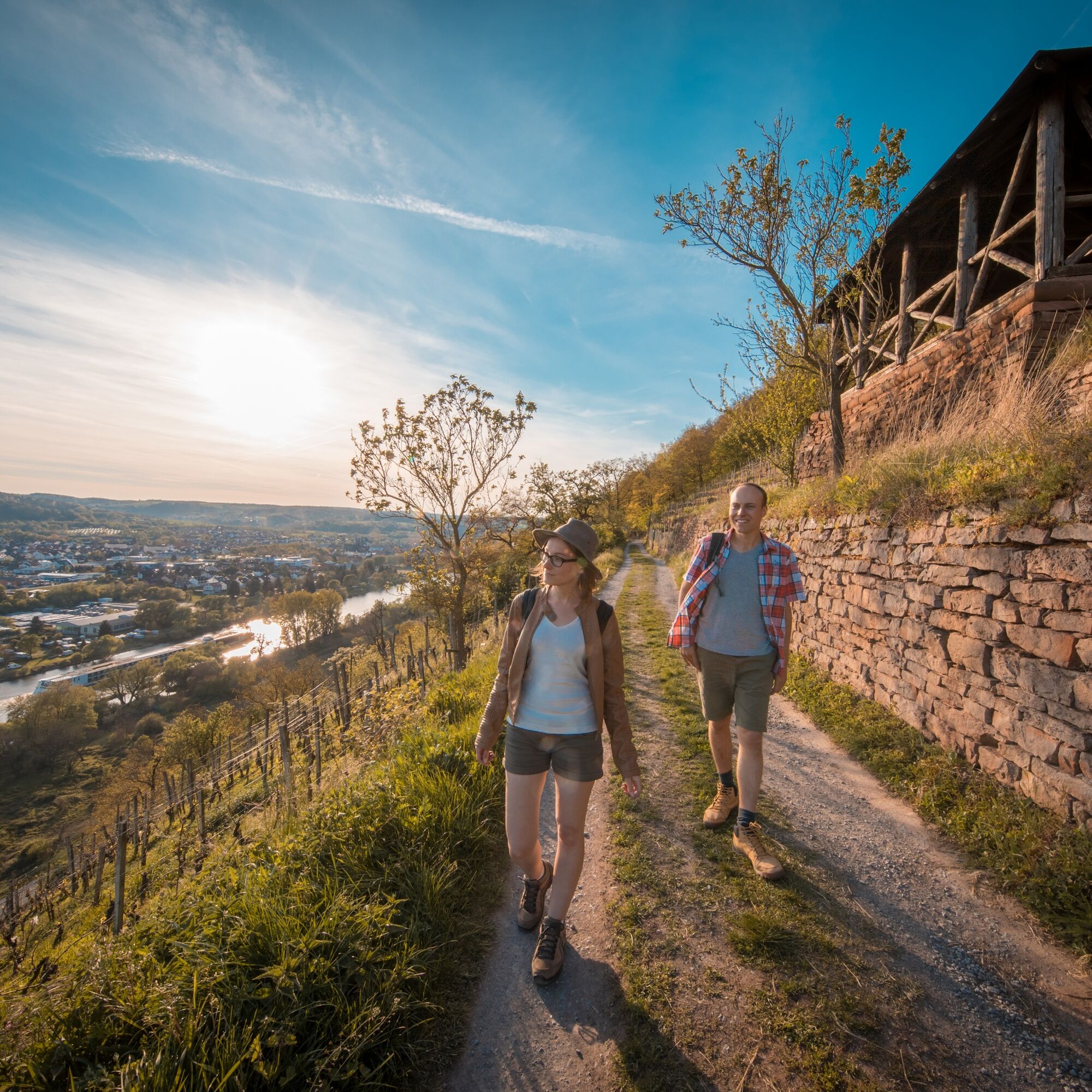
After the pavilion, stairs lead us further uphill to a farm track which we follow to the right. We pass the Hohberg cross and walk along the slope high above the Main. From the picnic platform and the views terroir f Churfranken we have a great view of Wörth, the shipyard of Erlenbach, and also Klingenberg. Looking towards Wörth you see the Wörth vineyards. (Wörth offers a nicely restored old town, a shipping and local history museum and is therefore always worth a detour.) While there is forest to our left, the right steeply downward side of the slope is covered with the sun-favored wine terraces of the Erlenbach Hochberg.
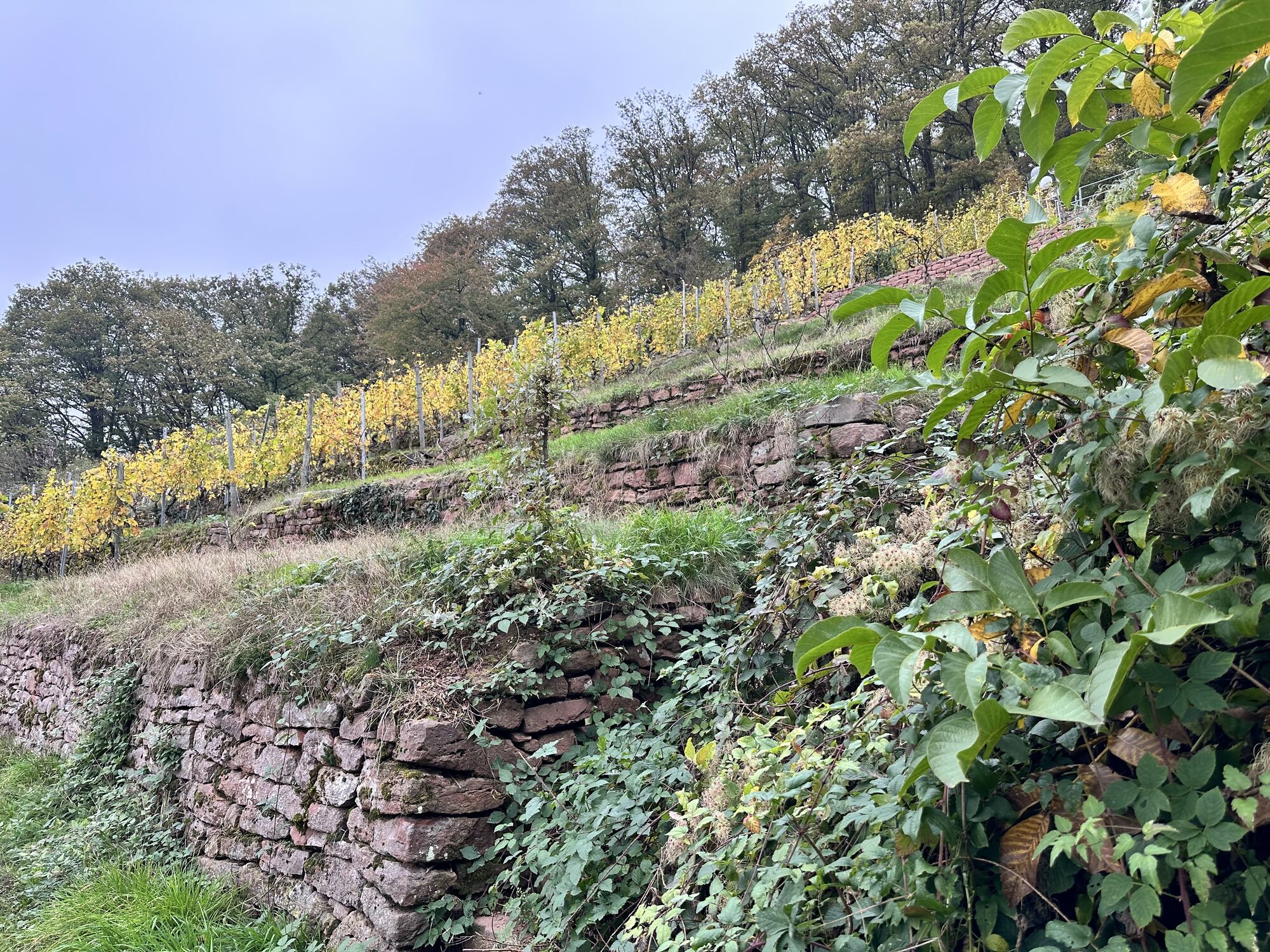
Soon the vineyards also extend to our left. In the listed Buntsandstein terraces of Klingenberg Castle Hill, rare ferns, flowers, and herbs can be found. Past the patron saint of winemakers St. Urban we reach the outskirts of Klingenberg on Hohbergstraße after a while. At the end of the street, Bergwerkstraße leads us to the right down towards the town centre. In the valley we turn left onto Rathausstraße and follow it to a right turn. Here we continue straight on on the traffic-calmed main street into the old town of Klingenberg. A stroll through the historic lanes is definitely worthwhile. At the end of the main street is the city gate.
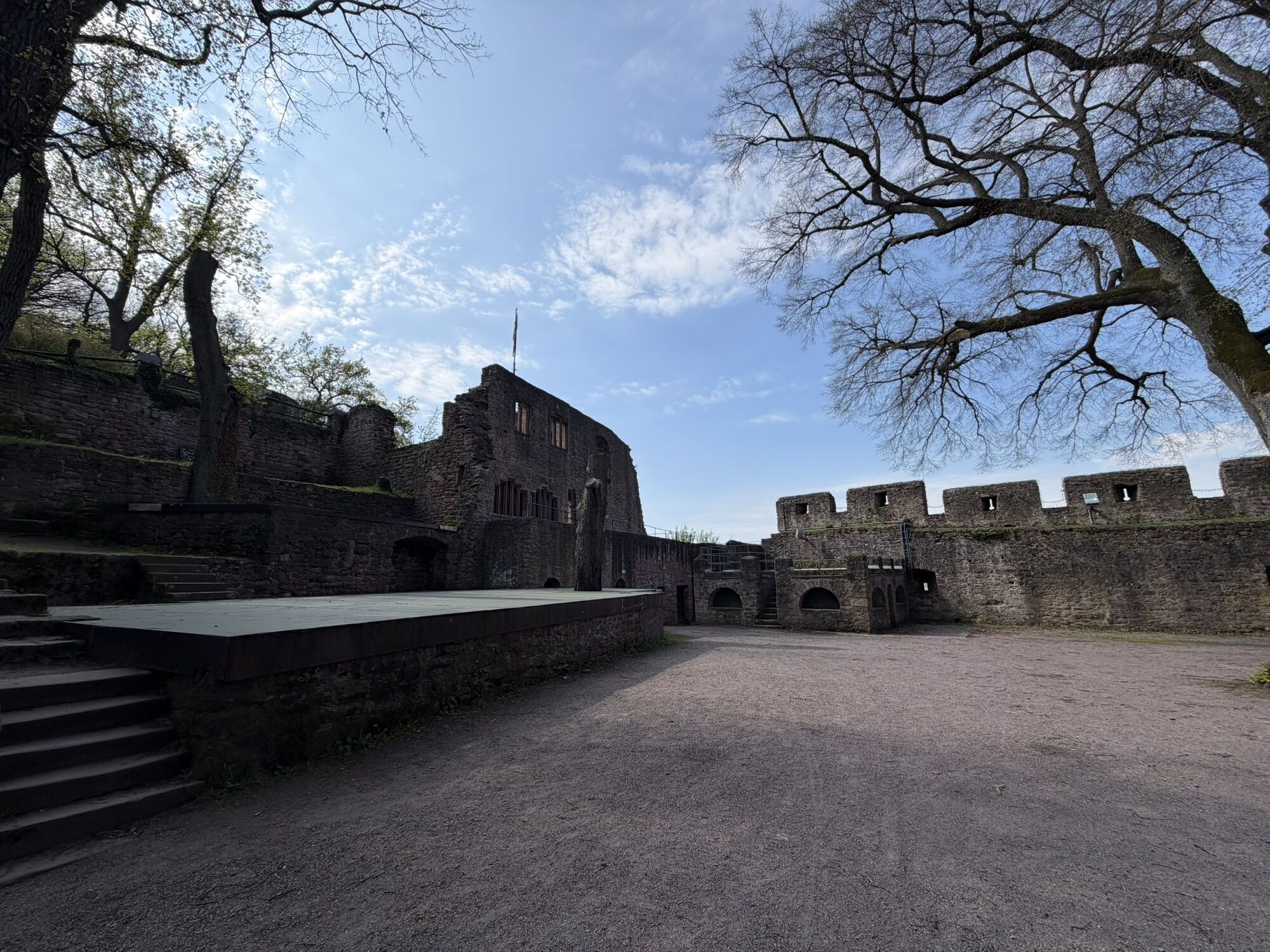
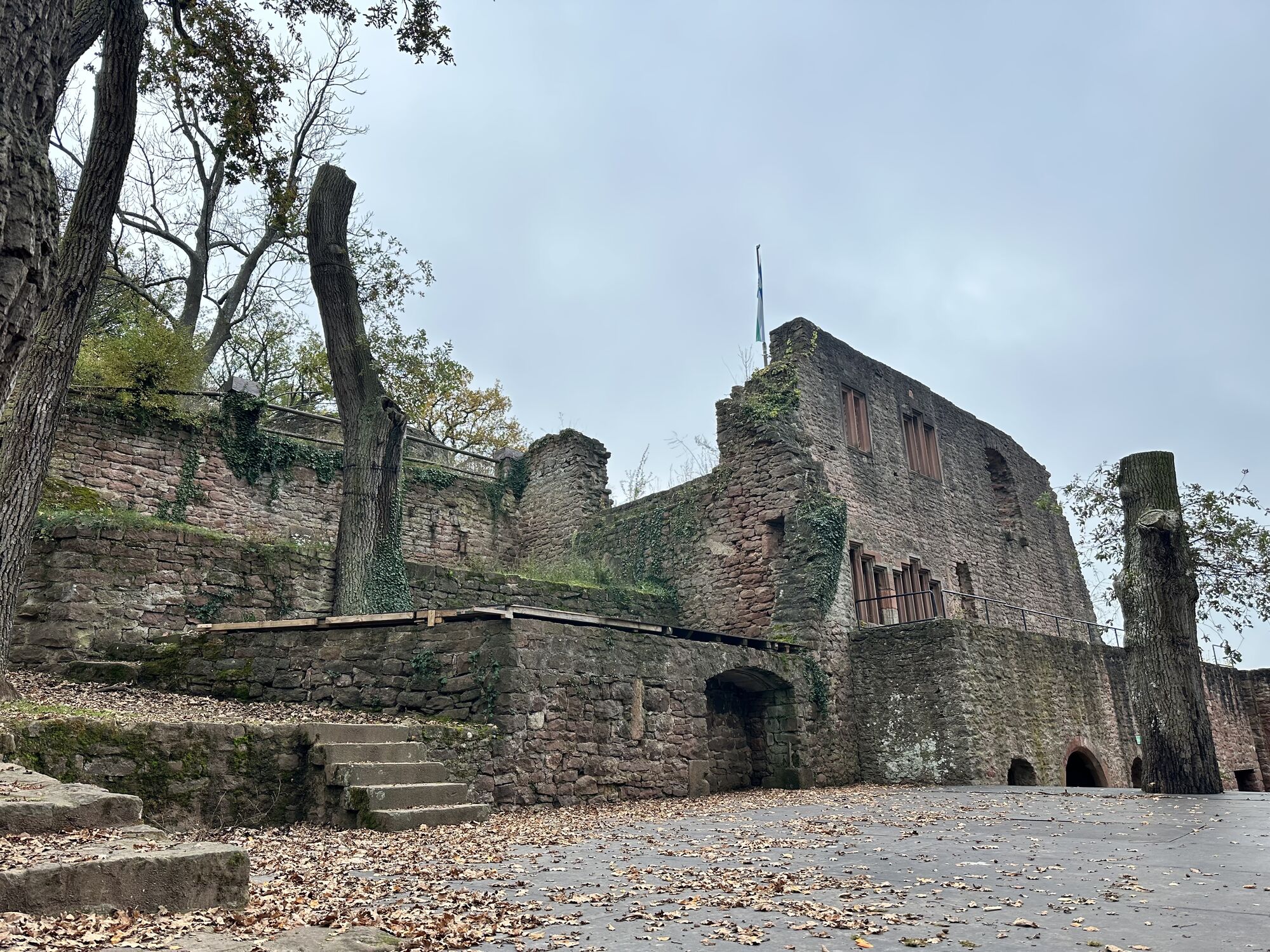
Not far away, at the local history museum, a staircase branches off on the left leading us up to Burgweg. We follow this to the right past some wine terraces up to Johannesweg. An alternative route at the entrance to Klingenberg doesn't lead right down into the centre of Klingenberg via Bergwerkstraße, but goes left for some meters along the street. On the right side, Clingenburgstraße soon branches off, on which we reach the ruins of Clingenburg via switchbacks and through forest. Located high above Klingenberg, we have a magnificent view over the valley from here. Afterwards, Burgweg leads us back down into the valley to Johannesweg.
Tak
Provision, sturdy footwear, possibly rain protection
A3 to Stockstadt exit, continue on the B469 towards Miltenberg to Elsenfeld, from there continue to Erlenbach / A3 to Rohrbrunn exit, from there continue to Erlenbach
By train to Erlenbach (Main)
in Erlenbach
You can find the further stages here:
Franconian Red Wine Hiking Route - 5th stage from Klingenberg to Großheubach
Franconian Red Wine Hiking Route - 6th stage from Großheubach to Bürgstadt


Popularne wycieczki w okolicy
-
"Of Clay, Stones and Shards"
średniWędrówka 8,31 km -
5,0
Dorfprozelten: Kollenburg-Chapel-Route
średniWędrówka 11,8 km -
5,0
Roman Route in Miltenberg M1
ciężkiWędrówka 15,3 km -
Obernburg - Eisenbach round
średniWędrówka 10,7 km -
MainRadweg Wertheim bis Miltenberg
Jazda na rowerze 35,7 km -
4,0
European cultural route: "From Hecke to Häcke in Hebboch"
średniWędrówka 10,2 km -
5,0
Rüdenau mountain hike R1
ciężkiWędrówka 13,8 km -
Nibelungensteig - 6th stage from Miltenberg to Amorbach
ciężkiWędrówka 13,2 km -
Miltenberg - Engelberg Monastery - Kleinheubach Castle - round trip
ciężkiWędrówka 12,6 km -
5,0
Klingenberg: Hiking Trail Schnepfe
średniWędrówka 5,03 km
Wędrówki i tropienie


Nie przegap ofert i inspiracji na następne wakacje
Twój adres e-mail została dodana do listy mailingowej.





