


Homburg Wine Hiking Trail
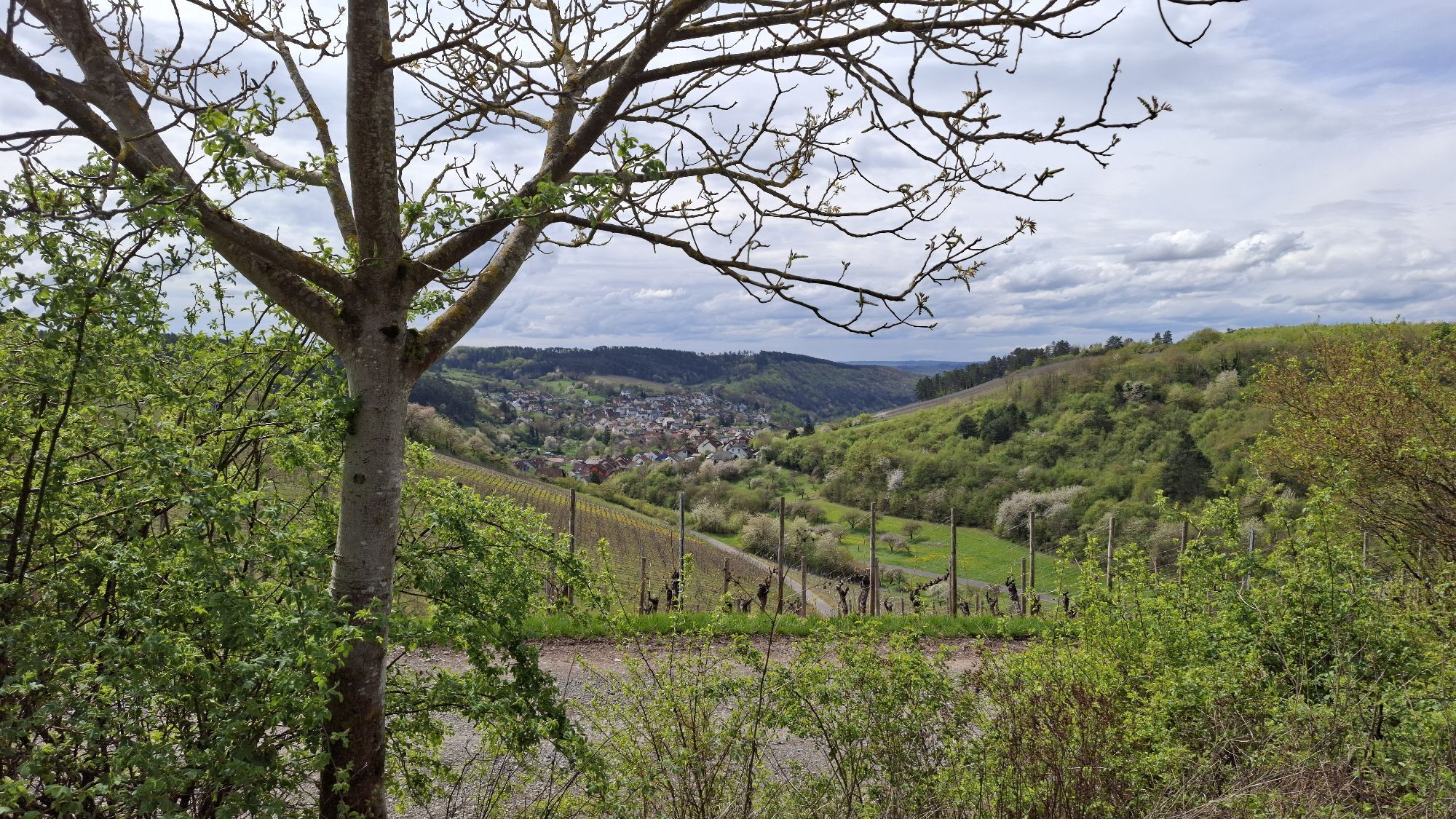
If you hike this panoramic route well signposted with the "Winzermännle", you can look forward to a high level of experience. The route can be comfortably completed in about 2.5 hours. At regular intervals...
If you hike this panoramic route well signposted with the "Winzermännle", you can look forward to a high level of experience. The route can be comfortably completed in about 2.5 hours. At regular intervals there are shelters and resting and seating areas on the way, so even small hikers always have the opportunity to rest.
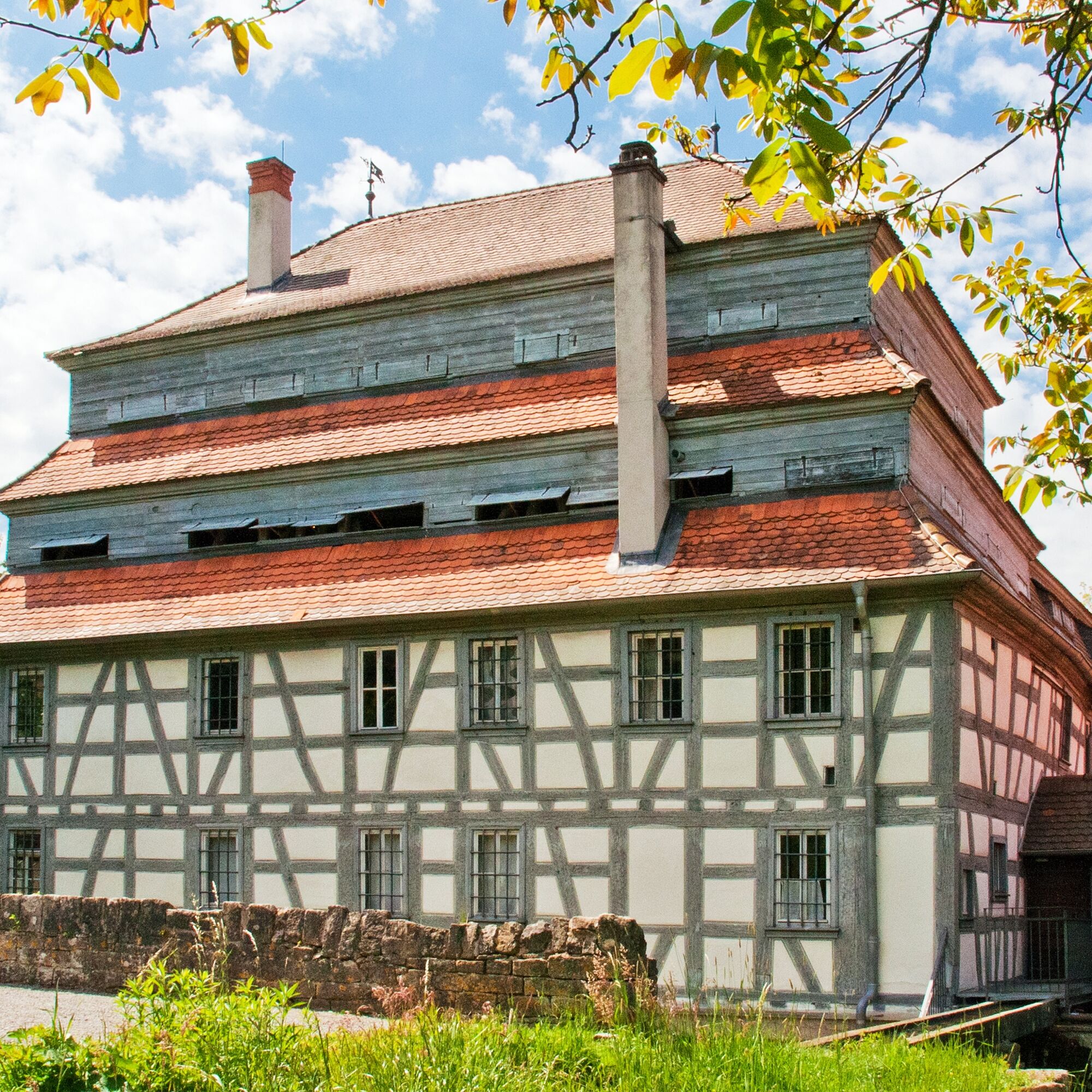
The wine hiking trail was established more than 20 years ago by the Winzer- und Weinbauverein Homburg e. V. - the first in Franconia.
Route:
Julius-Echter-Platz, Würzburger Straße, Erlenbacher Straße, Homburger Kallmuth, Hübschenberg, Geiß, Lerchenberg, Steinigter Weg, Edelfrau, Buch, Wolpenberg, Bugstraße, Zeller Tor, Julius-Echter-Platz

You start the well-marked hike at Julius-Echter-Platz, where there is also a hiking board with information about the route, and walk up to the Kallmuth. Over the Schlossgraben bridge you reach Würzburger Straße uphill to Erlenbacher Straße. Turn left into the second vineyard path and follow the concrete path parallel to the slope. From the end of this path, turn right onto a steep trail through a pine forest and hedges up to the viewpoint "Drei Tannen". Enjoy the fantastic panoramic view here.
Past seating and a pasture, then turn left through meadow and dry grassland.
Then follow the field path along the cement factory fence. In a hollow, turn right and walk through a pine and juniper woodland. Soon it turns right along the vineyard. Cross Remlinger Straße at the end of the path and follow the path through the many Homburg vineyards. Hike on the gravelled field path on the right between forest and vineyards and after a curve on the left side you will reach the shelter "Das Lerchennest".
From here it continues above the vines, past rocky slopes. Soon you will reach a beautiful observation point on a curve. In the next hollow, go steeply uphill to the left. After 20 m, continue right on a field path. At the end of the path, turn right onto the asphalt path. Then the third fork leads you right between forest and vineyards.
Now you walk through a forest, past a small chapel, and along the left above the vineyards. In the next curve uphill to the left is the second shelter "Zur Zecherruh". Here you have one last splendid view down into the valley to the village. Steeply downhill through the vineyard, you return to Homburg. At the end of the concrete path, take a sharp left downhill on Bugstraße. Follow Zeller Tor street straight downhill and reach your starting point again.
Tak
Sturdy footwear, especially on hot days pay attention to sun protection and provisions.
From Wertheim, take the L2310 towards Würzburg. After 9 km, you will pass Bettingen. At the traffic light, turn left towards Marktheidenfeld and after 6 km you will reach Homburg am Main.
Parking spaces are available at Julius-Echter-Platz
Tourist Information Wertheim
You can read interesting facts about Homburg and its viticulture in the past and present on six information boards along the route.
Popularne wycieczki w okolicy
- 5,0
On the way to Himmelreich
średniWędrówka 15,0 km - 4,0
Around the Kaffelstein
światłoWędrówka 4,71 km Wertheim - Urphar - Wertheim
średniWędrówka 12,8 km- 4,0
Rund um den Apfelberg
światłoWędrówka 8,18 km - 4,0
Schleusen-Wanderung
światłoWędrówka 7,15 km European Cultural Trail: From the Castle Hall to the Monastery Shine - At the Holle Tree and Piper Hans
średniWędrówka 21,6 kmPanorama hiking route – through vineyards and hilly expanses
średniWędrówka 12,6 km- 4,0
Mainweitblick
średniWędrówka 9,89 km Around Flöhberg
średniWędrówka 8,43 kmRoute of Delights – the TOP gourmet region on the Main and Tauber
Motorrad 386,1 km

Wędrówki i tropienie


Nie przegap ofert i inspiracji na następne wakacje
Twój adres e-mail została dodana do listy mailingowej.