






European Cultural Trail: From the Castle Hall to the Monastery Shine - At the Holle Tree and Piper Hans
On the first European cultural hiking trail in Baden-Württemberg, you experience how monastery and castle, wine and irrigation, sheep, and landscape management belong together and shape the cultural landscape.
From...
On the first European cultural hiking trail in Baden-Württemberg, you experience how monastery and castle, wine and irrigation, sheep, and landscape management belong together and shape the cultural landscape.
From Bronnbach Monastery, you pass the former supply yard of the monastery before you head steadily up the hill to Dickbuckel. Along the edge of the forest, you reach Pülversloch, the historic border to Gamburg with Celtic burial mounds.
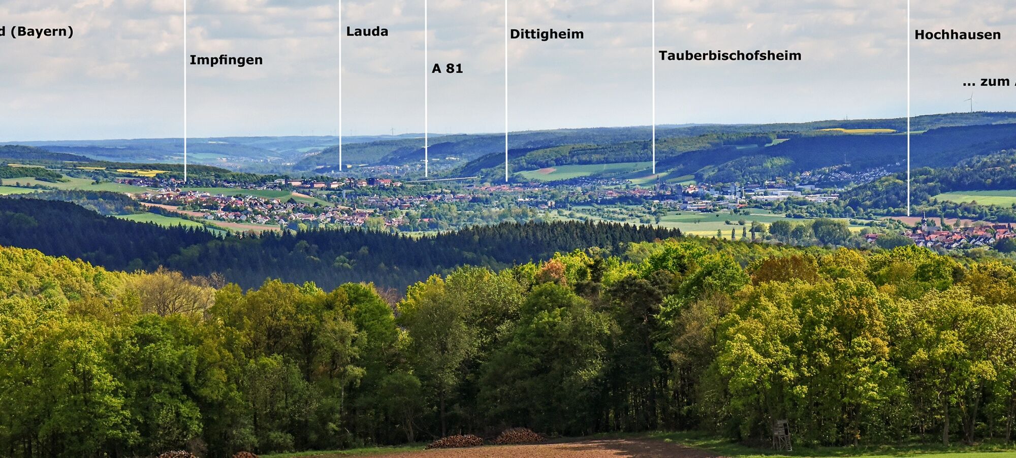
On nature-oriented paths, the route continues through fields and forests to Höhefeld, where the detour around the sports field offers fantastic panoramic views of the Tauber valley. Downhill, a short detour to the Begharden Cave is worthwhile, and in Niklashausen you can cool your feet in the Tauber before hiking uphill again through native forest.
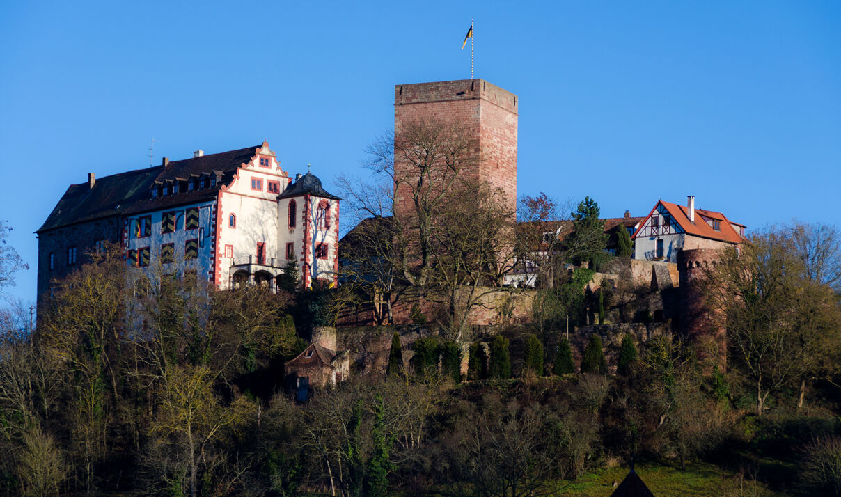
From afar, you can already see the 12th-century Gamburg castle. The route leads you again to the river valley, past the train station and back to Bronnbach through the peaceful forest silence.

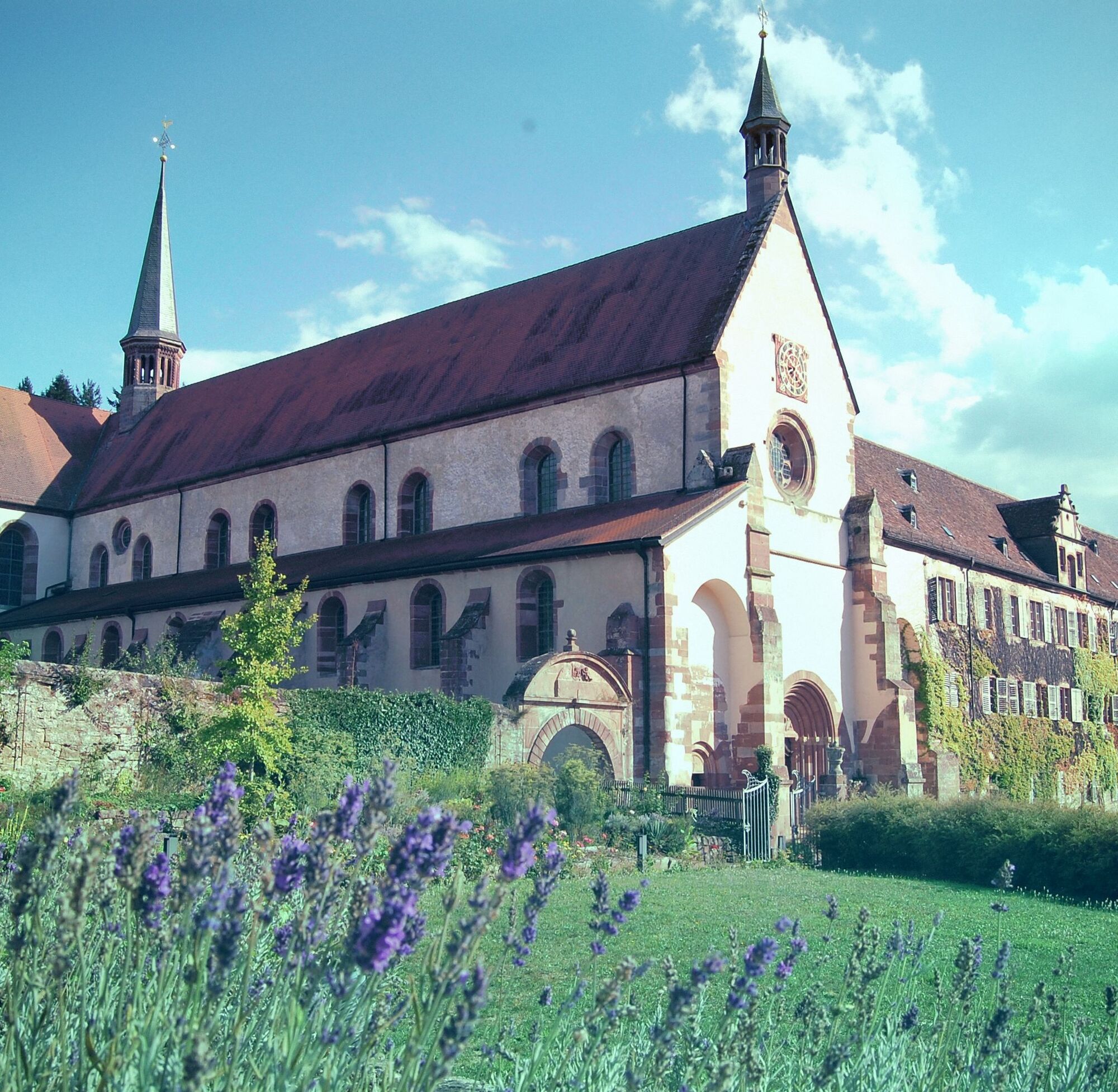



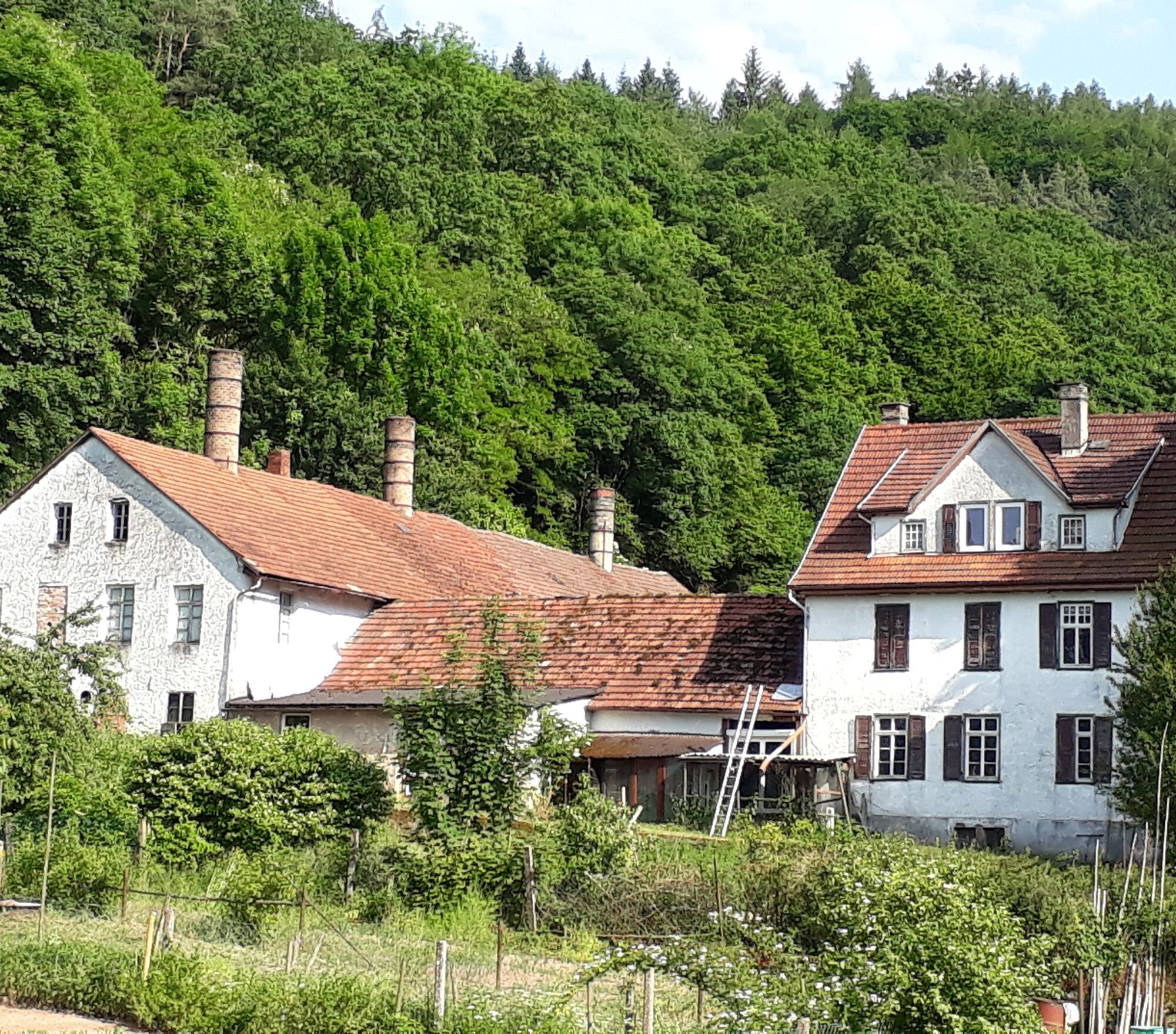
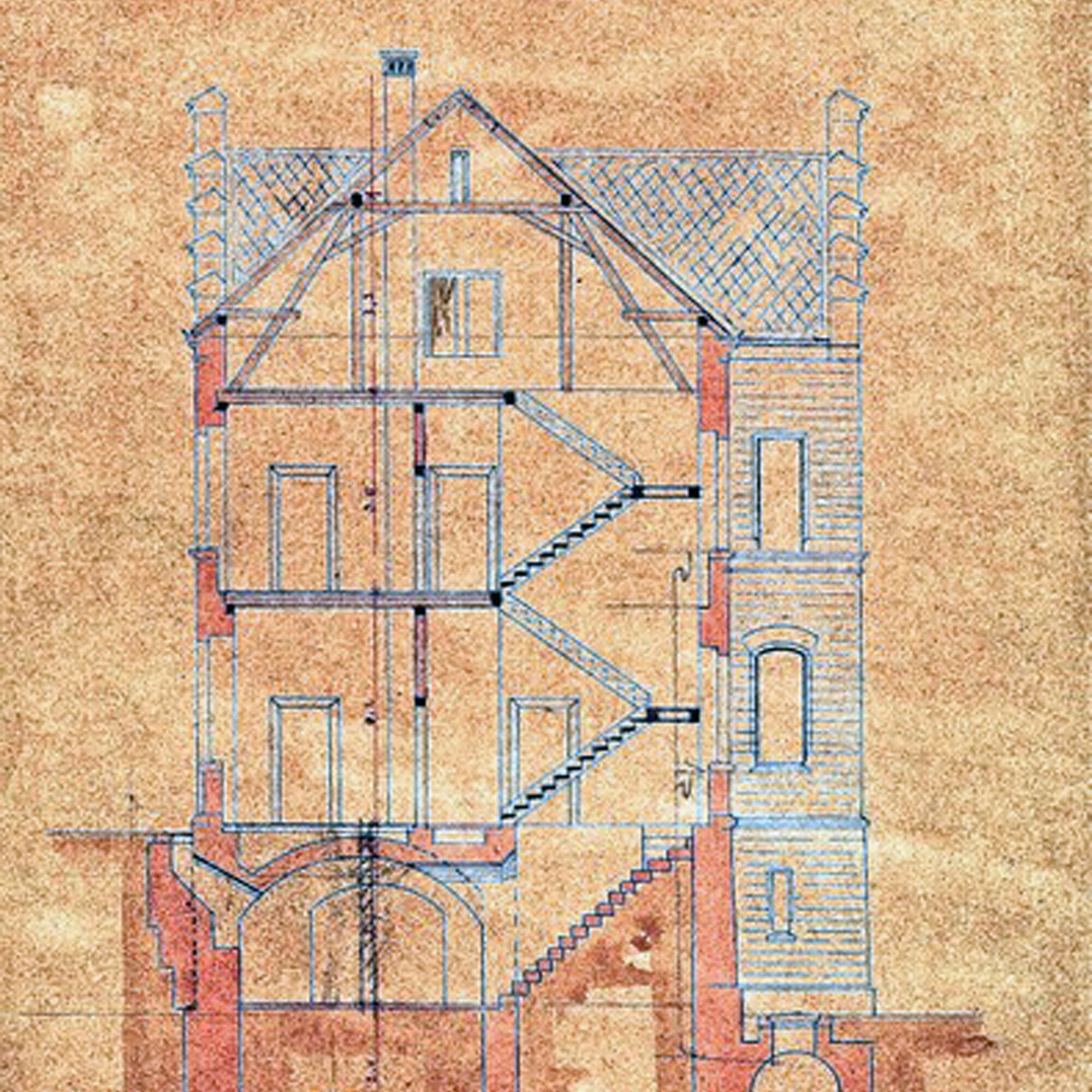
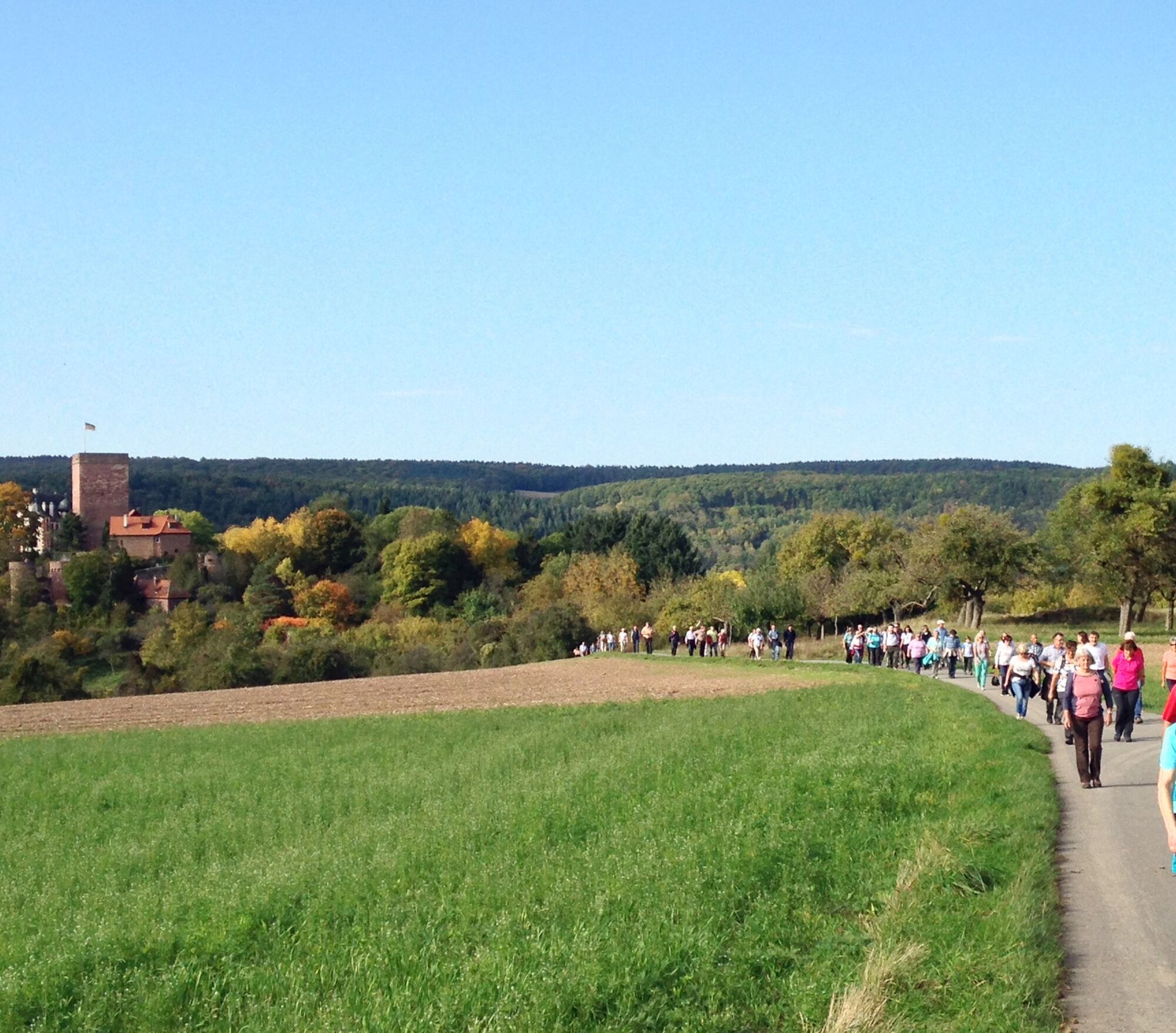
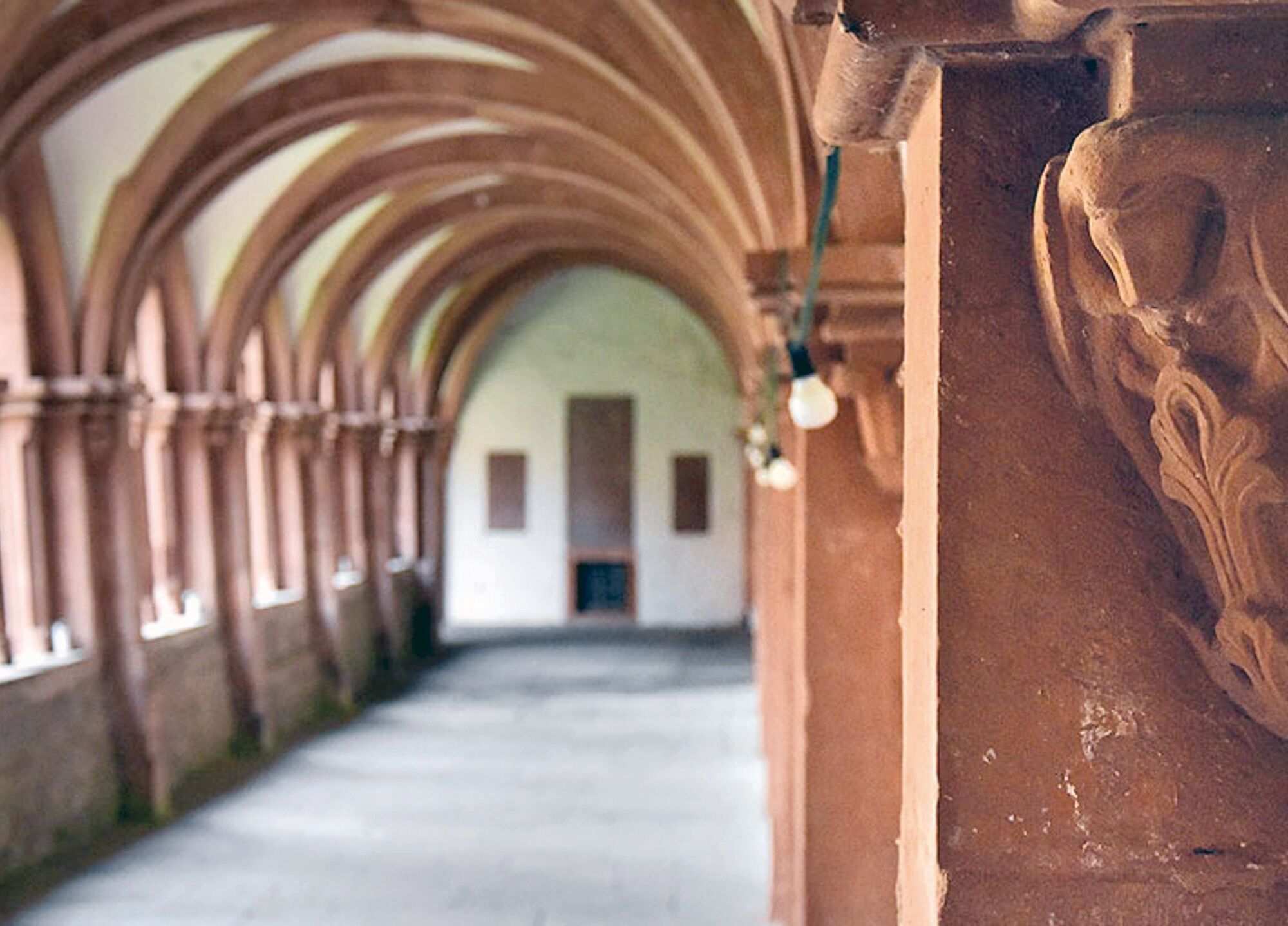
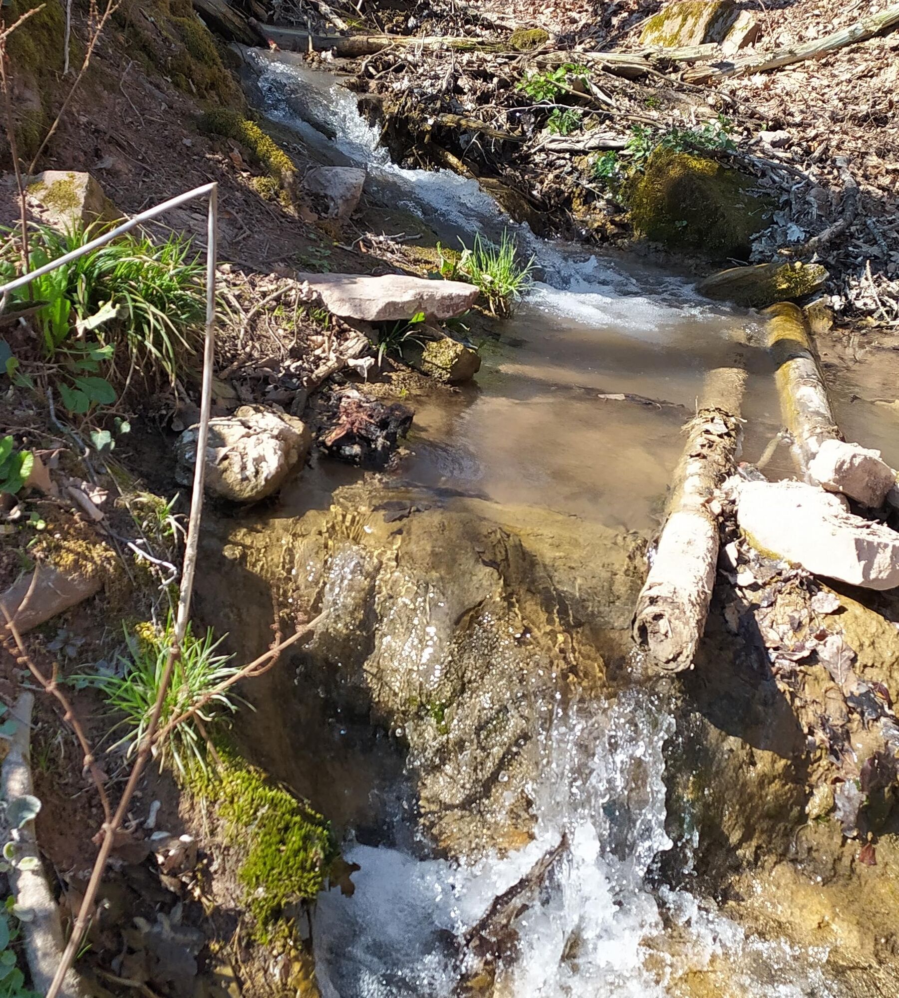

Start at Bronnbach Monastery and follow the Bronnbach Monastic Landscape Trail. Along the way, you will see how the monastic rule influenced the current landscape over centuries through viticulture, irrigation, and sheep farming.
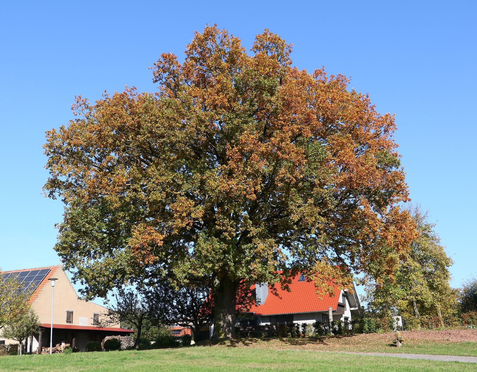
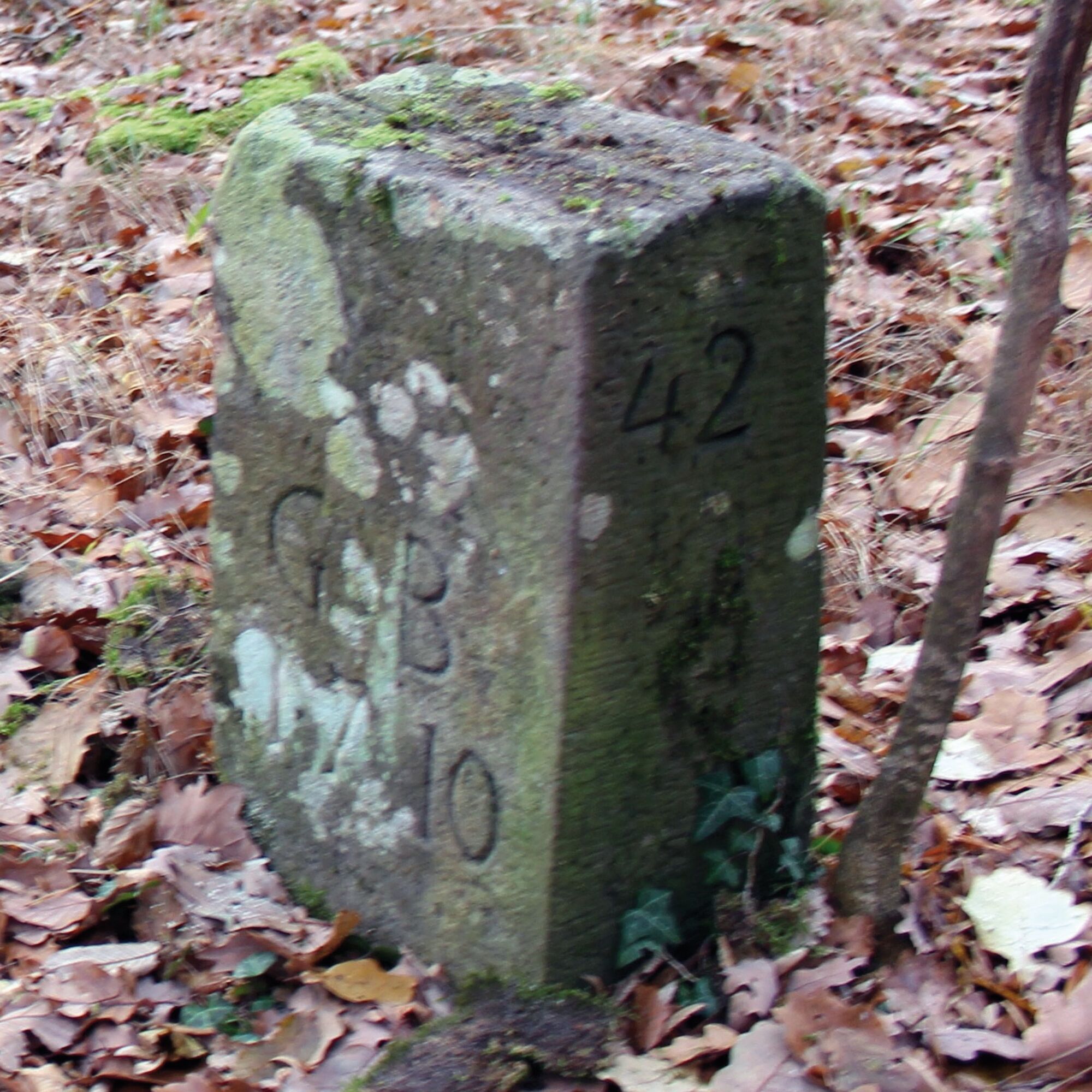
At the fork in the path, decide whether to go back to Bronnbach (2 km) or 6 km towards Höhefeld. Soon you will reach the Pülversloch station. Here, an old border path turns into the mythological road, where, passing burial mounds and a mysterious stone heap, old boundary stones can be counted. "On the Höhe" lies the Wertheim district of Höhefeld, from where you get a wonderful panoramic view of the Tauber valley from Neuberg. You will also receive information about the "Höhefeld find" and the Frau-Holle tree.
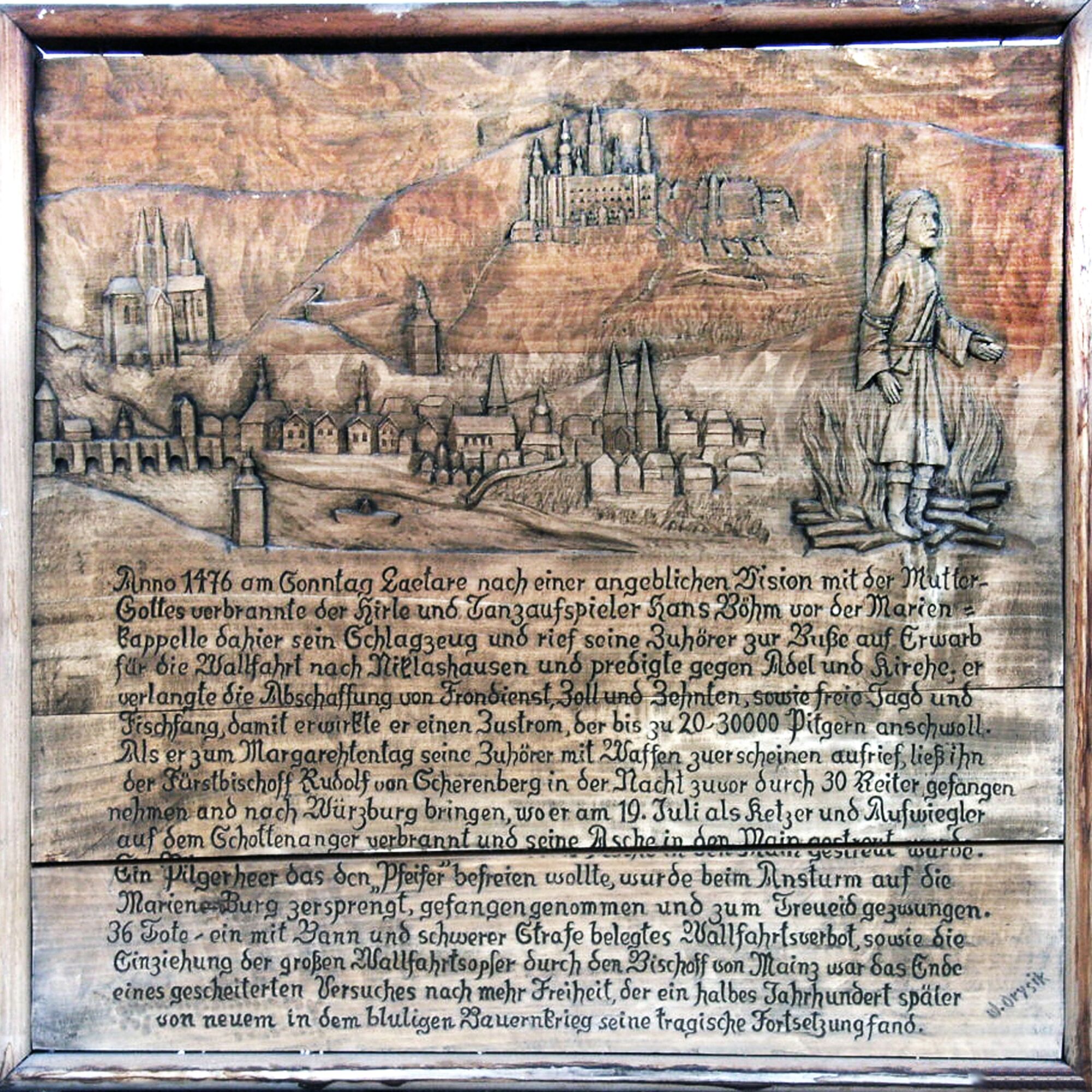
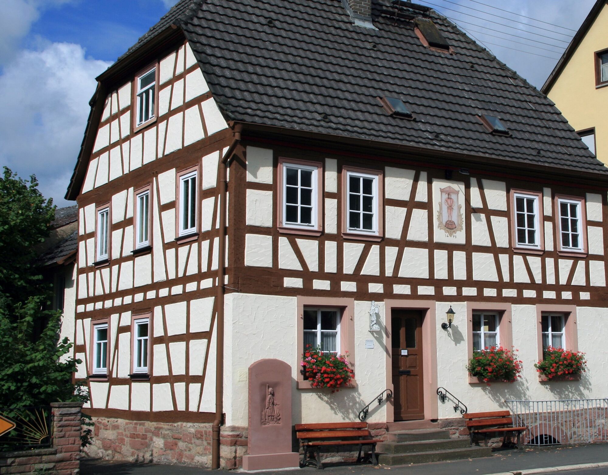
After a 2 km descent (make a detour to the mysterious Begharden Cave), you reach the village of Hans Böhm, the piper of Niklashausen. A museum and a local circular trail are dedicated to him, the peasant revolutionary of 1476.
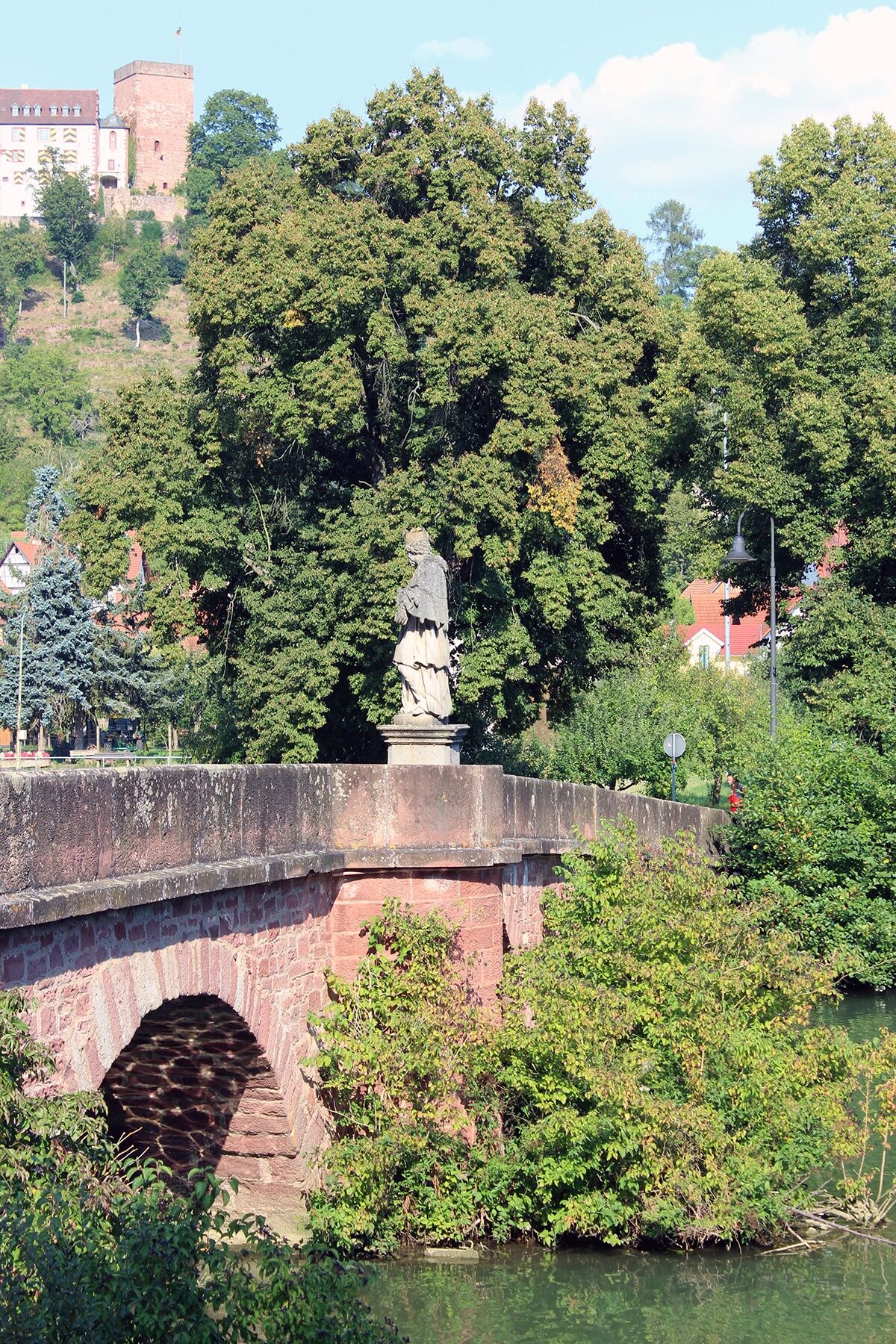
Cross the Tauber, pass below the train stop, and after 2 km shortly before Gamburg, turn off to Gamburg, which with its unique medieval wall paintings and baroque castle park is worth a visit. After passing through the idyllic former Kurmainz Kammerforst, continue downhill for 4 km to Gamburg to the "Gamburg Mice." These were pumice stones that were in demand worldwide in the 20th century.
Through the village of Gamburg, reach the train station and now you have the choice: return by train or hike 5 km further to your starting point, Bronnbach Monastery.
Sturdy footwear, provisions
From Frankfurt: A3 to exit Marktheidenfeld; direction Wertheim, from there through the "Lovely Tauber Valley"
From Würzburg: A3 to exit Wertheim/Lengfurt; direction Wertheim, from there through the "Lovely Tauber Valley" toward Tauberbischofsheim to Bronnbach.
From Stuttgart: A81 to exit Tauberbischofsheim; direction Wertheim, from Werbach through the "Lovely Tauber Valley" to Bronnbach.
Reach Bronnbach with the Tauber Railway via ICE through Würzburg, with the regional express from Stuttgart via Lauda, and from Wertheim
Parking spaces are designated
Official website: https://www.kulturweg.eu/
Wertheim Tourist Information: https://www.tourismus-wertheim.de
The train stops in Bronnbach, Gamburg, and Niklashausen facilitate the exploration of the individual stages.
Popularne wycieczki w okolicy
- 5,0
On the way to Himmelreich
średniWędrówka 15,0 km - 4,0
Around the Kaffelstein
światłoWędrówka 4,71 km Wertheim - Urphar - Wertheim
średniWędrówka 12,8 km- 4,5
Homburg Wine Hiking Trail
średniWędrówka 7,65 km - 4,0
Wein-Tauber hiking trail - circular route from Bronnbach
średniWędrówka 10,4 km - 4,0
Rund um den Apfelberg
światłoWędrówka 8,18 km - 4,0
Schleusen-Wanderung
światłoWędrówka 7,15 km Panorama hiking route – through vineyards and hilly expanses
średniWędrówka 12,6 km- 4,0
Mainweitblick
średniWędrówka 9,89 km Route of Delights – the TOP gourmet region on the Main and Tauber
Motorrad 386,1 km
Wędrówki i tropienie


Nie przegap ofert i inspiracji na następne wakacje
Twój adres e-mail została dodana do listy mailingowej.





