






6 Zollernblick Route, Hiking Happiness Schömberg
Poziom trudności: T1
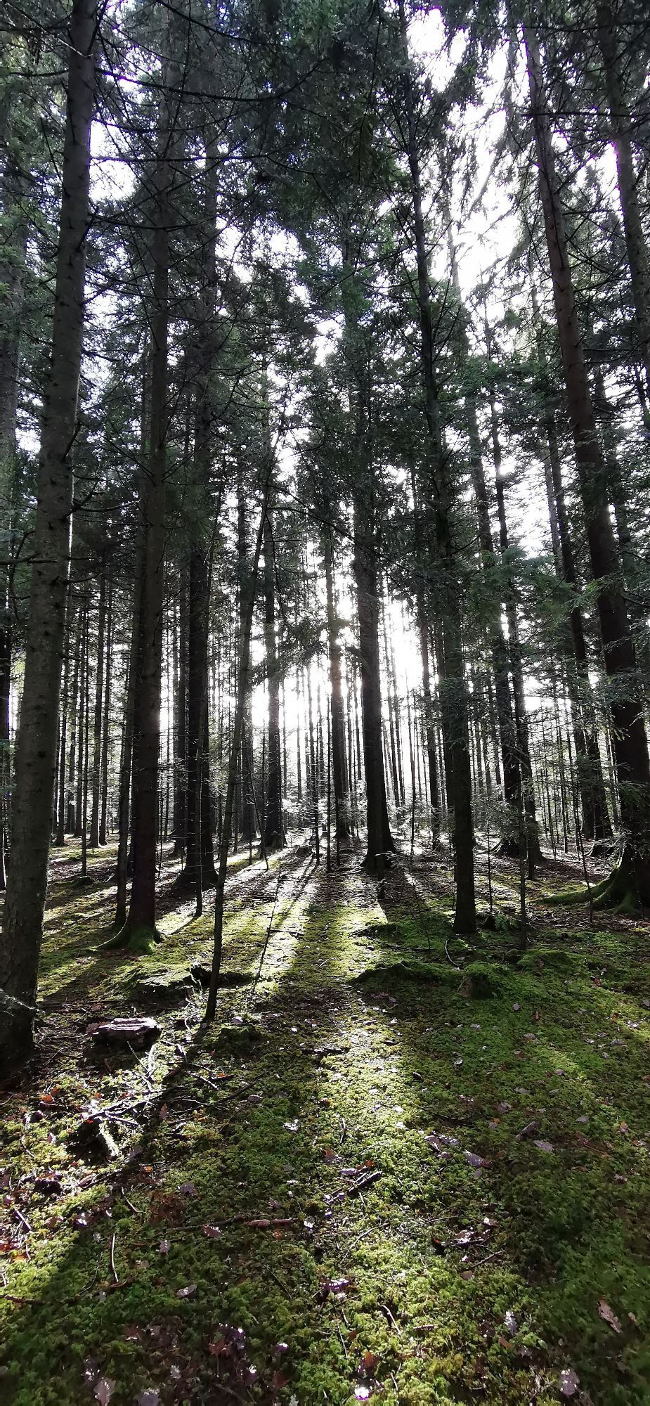
Start Schömberg Hiking Parking Lot Bühl (yellow diamond).
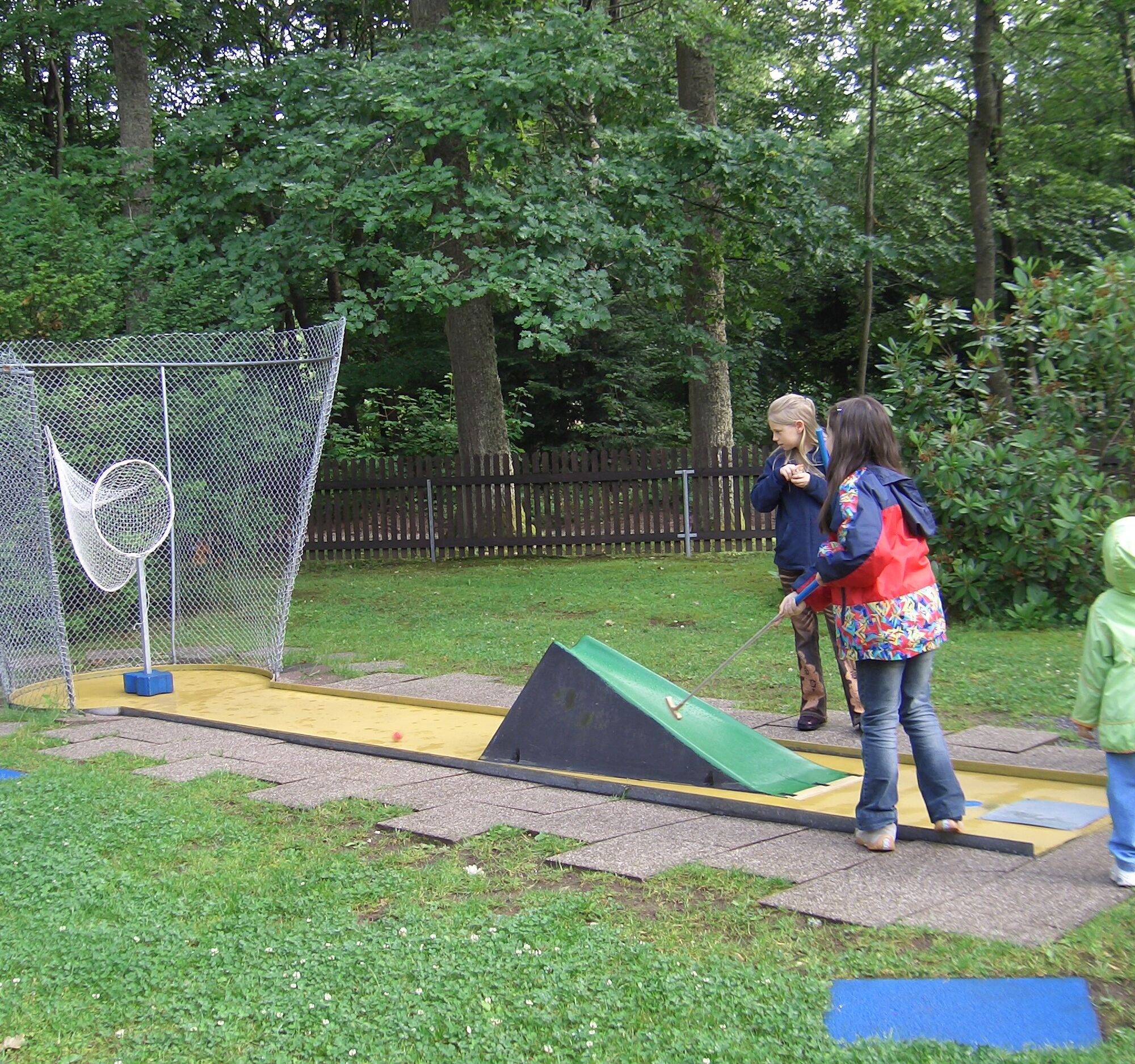
We hike from Bühlhof past the playground at Schillereiche to the Schömberg spa park. There is a mini golf course and a generation activity park...
Start Schömberg Hiking Parking Lot Bühl (yellow diamond).
We hike from Bühlhof past the playground at Schillereiche to the Schömberg spa park. There is a mini golf course and a generation activity park (with low rope course). Then continuing via the Zollernblick, a viewpoint with wonderful views to the Zollernalb, to the Waldhufendorf Oberlengenhardt. Via Schwannweg and later the Hausackersträßle, the route leads us back to the hiking parking lot Bühlhof.
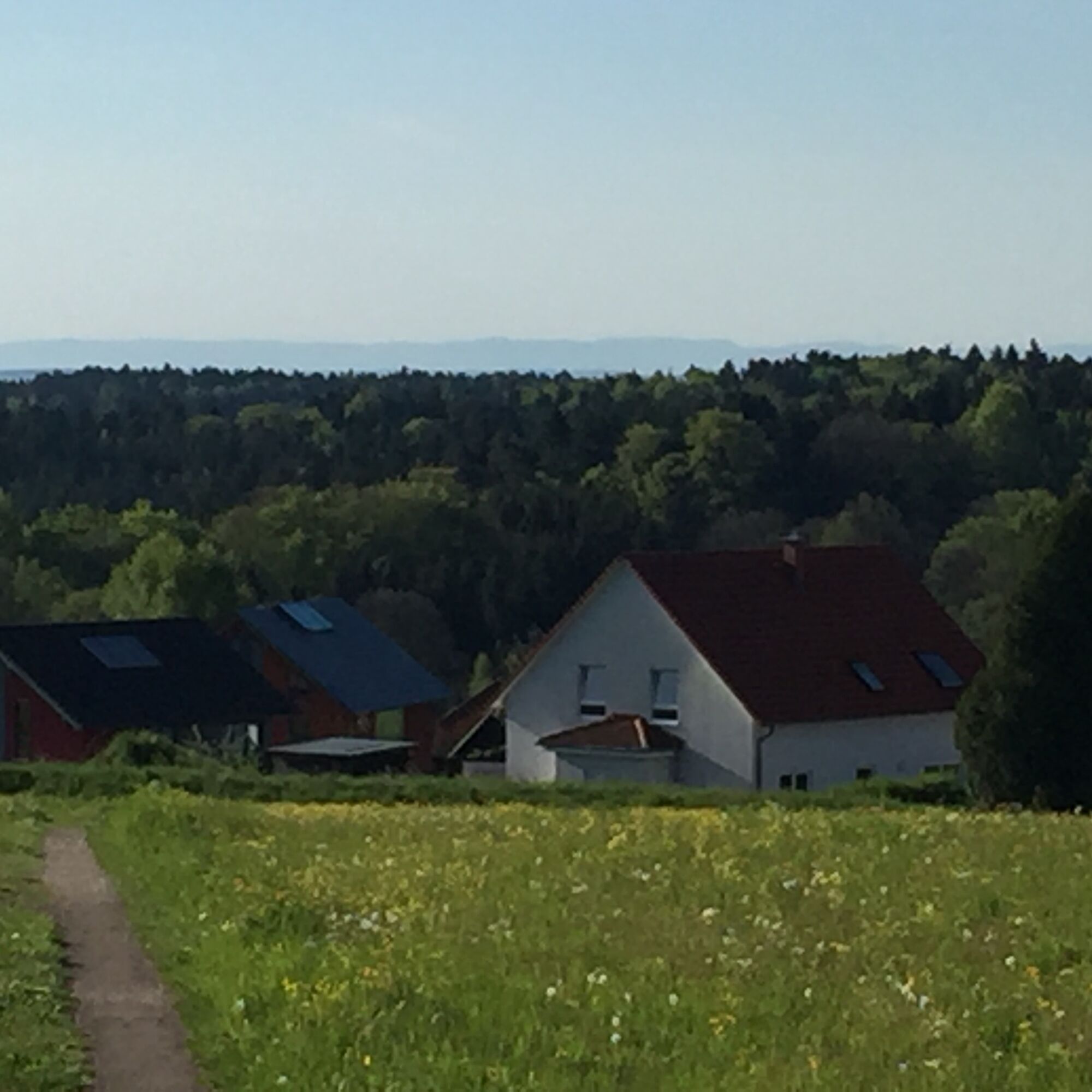
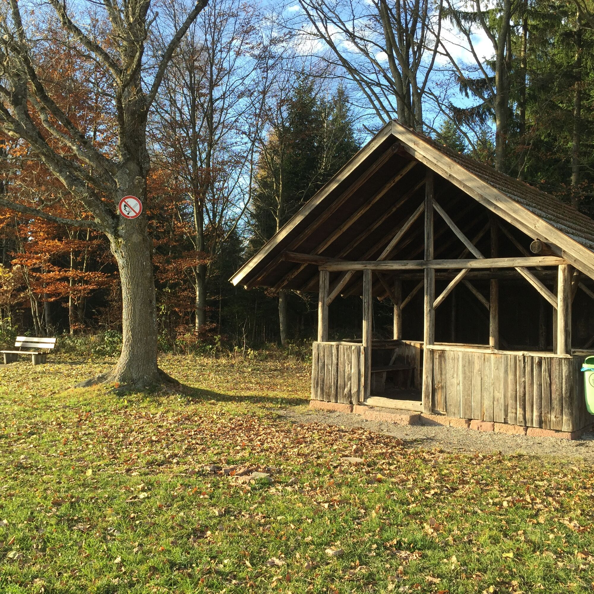
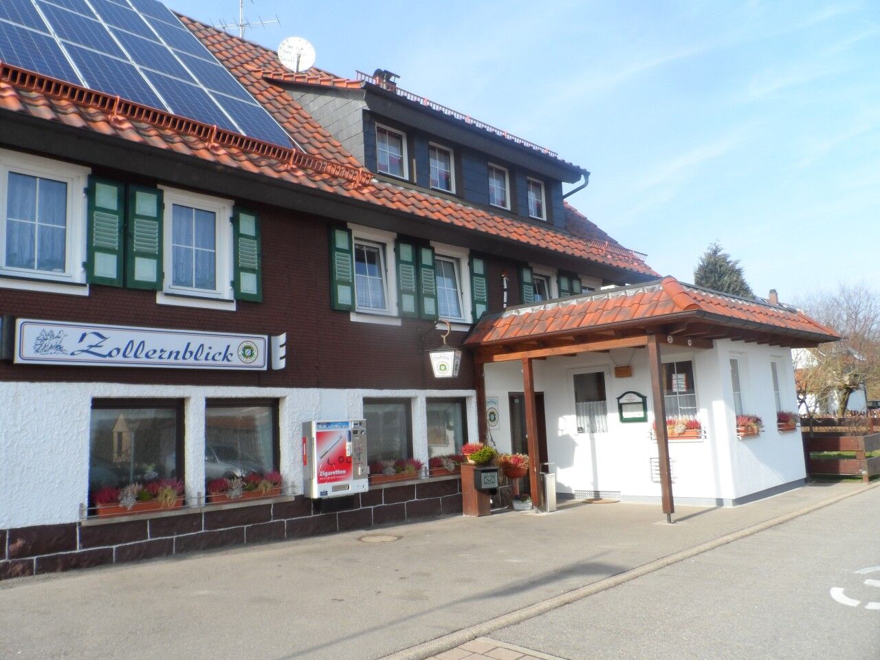
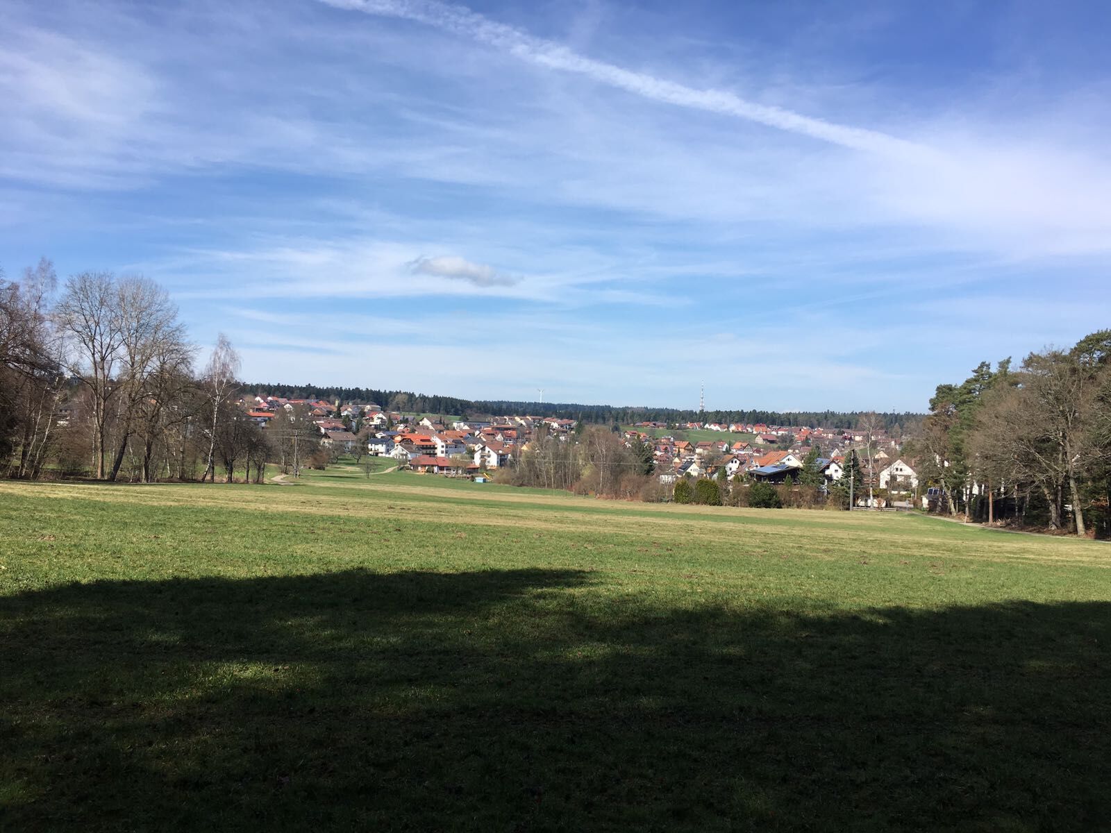

This route has no separate signage but runs on the well-signed trail network of the Black Forest Club.
Sequence of location names (post names) of the Black Forest Club:
WSV clubhouse - At the Schillereiche - At the sports ground - Spa park (blue diamond) - Fire department - Wernerwald - Zollernblick - Under the Zollernblick - Johanniskirche - Allmend - Allmend west - Lower Furtwiese - Hausäcker - WSV clubhouse - Parking lot Bühl
Sturdy footwear, weather-appropriate clothing.
In the forest, typical forest hazards such as uneven ground, roots, broken branches, etc. must always be expected. Pay attention, especially on paths and in steep terrain while hiking, to the ground and consciously place one foot in front of the other. Hiking sticks are recommended for hikes with large altitude differences. Closed paths and forest areas must not be entered! Respect the habitats of wild animals and stay on the paths.
From the north: via the A8 from Karlsruhe towards Stuttgart, take the Pforzheim West exit, via Büchenbronn and Salmbach to Schömberg.
From the east: A8 Stuttgart towards Karlsruhe, take the Renningen exit. Drive on L295 to Weil der Stadt. Continue via Bad Liebenzell to Schömberg.
From the south: A81 from Singen towards Stuttgart, take the Herrenberg exit and drive on L296 via Deckenpfronn and Calw to Hirsau. Continue on L463 to Bad Liebenzell. Turn left to Schömberg in the town center.
Destination address: Bühlhof or Calmbacherstraße (drive through to the edge of the forest), 75328 Schömberg
By train to Bad Liebenzell (Nagold Valley) or Höfen (Enz Valley). From there there are bus connections to Schömberg. Get off at the Rathaus stop. About 20 minutes from the town hall to the starting point.
Line 820 from Bad Liebenzell / Schömberg / Höfen
Line 725 from Neuenbürg / Waldrennach
Line 743 from Pforzheim / Engelsbrand / Schömberg / Bieselsberg
Hiking parking lot Bühlhof
T1
Abstecher zum Aussichtsturm Himmelsglück einplanen!
Uzyskaj wgląd
Zawsze na żywo z ponad 9 500 kamer internetowych. bergfex Jako użytkownik Pro, możesz teraz zobaczyć odpowiednie kamery internetowe dla wielu wycieczek w aplikacji wycieczki od. Pozwala to na bezpośredni podgląd aktualnych warunków.
Popularne wycieczki w okolicy
-
4,6
Hiking through the Monbach Gorge in search of the kingfisher
średniWędrówka 10,5 km -
5,0
Wild romantic Monbach Valley
światłoWędrówka 6,25 km -
4,7
Eyach round
średniWędrówka 7,84 km -
4,7
Through the wild romantic Schweinbachtal to the Bruderhöhle cave
średniWędrówka 13,8 km -
4,5
Wolfsschlucht and Fox Gorge
średniWędrówka 9,74 km -
5,0
Der Teinacher (Premiumweg & Genießerpfad)
średniWędrówka 12,0 km -
3,0
Dobel High-Altitude Route
średniWędrówka 11,8 km -
5,0
Water, Woods and Meadowtrail / Zavelstein > Calw (Premium trail & Genussweg)
ciężkiWędrówka 14,4 km -
5,0
From Bieselsberg into the wild Monbach valley - dream route on small paths
ciężkiWędrówka 18,0 km -
5,0
AugenBlick route Bad Teinach-Zavelstein Zettelberg
ciężkiWędrówka 15,5 km
Wędrówki i tropienie


Nie przegap ofert i inspiracji na następne wakacje
Twój adres e-mail została dodana do listy mailingowej.





