






Enjoy views - circular hike Neubulach and Oberhaugstett
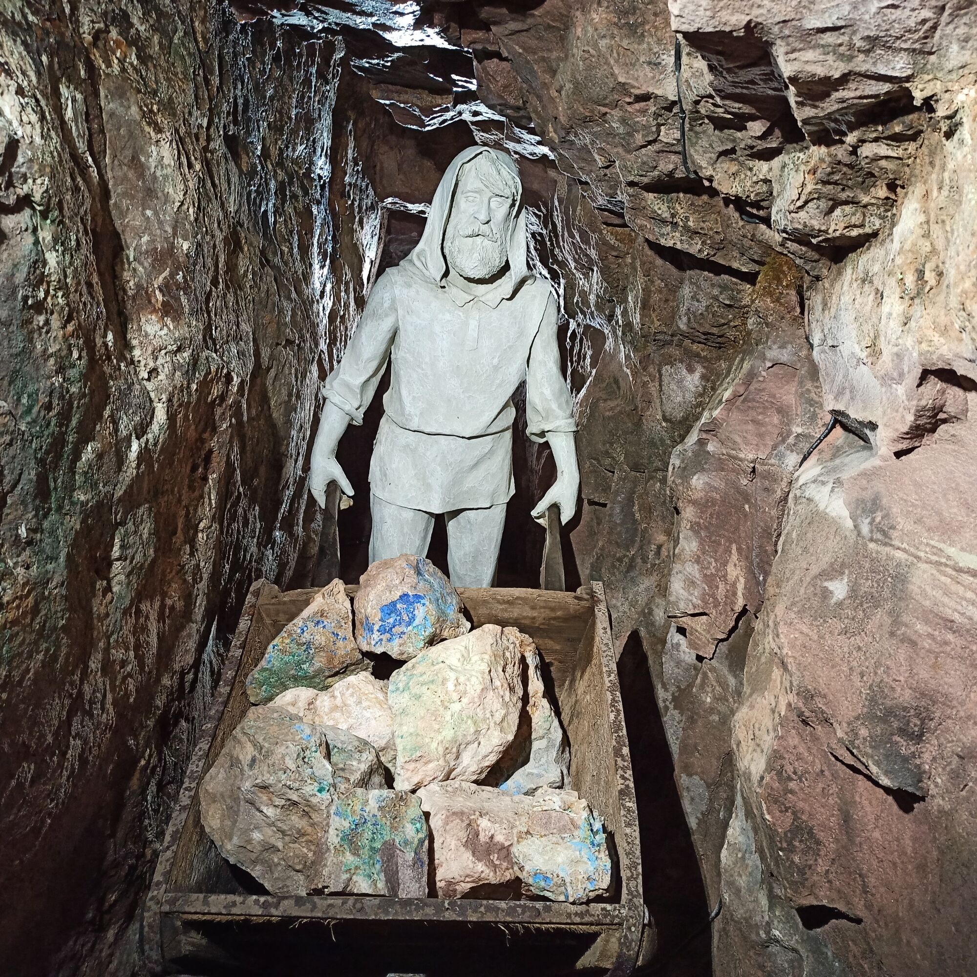
Wide views up to the Black Forest combined with plenty of stories about working underground and sparkling minerals.
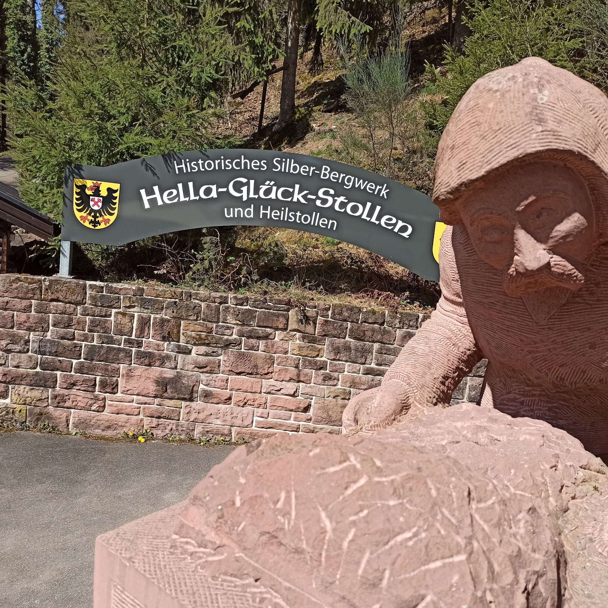
The hike initially leads from the visitor mine of the Hella-Glück tunnel down into the...
Wide views up to the Black Forest combined with plenty of stories about working underground and sparkling minerals.
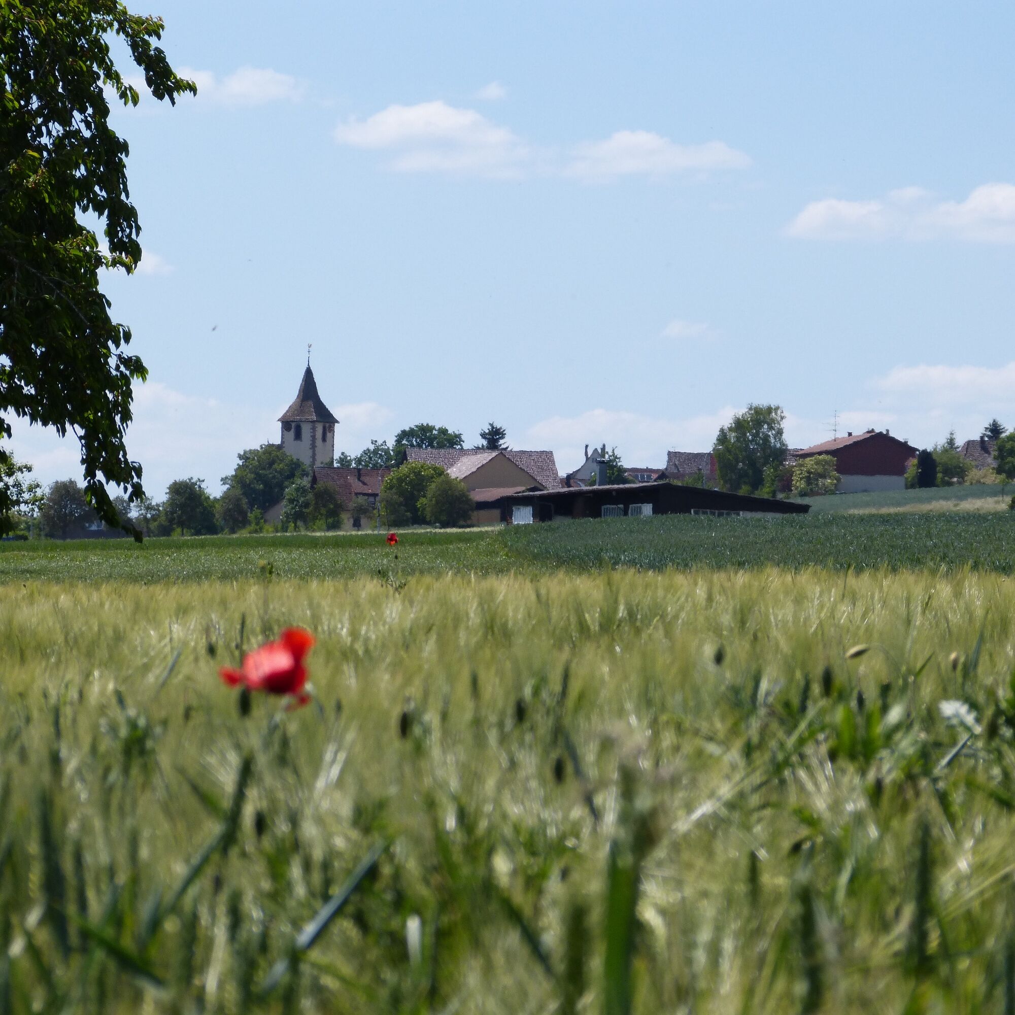
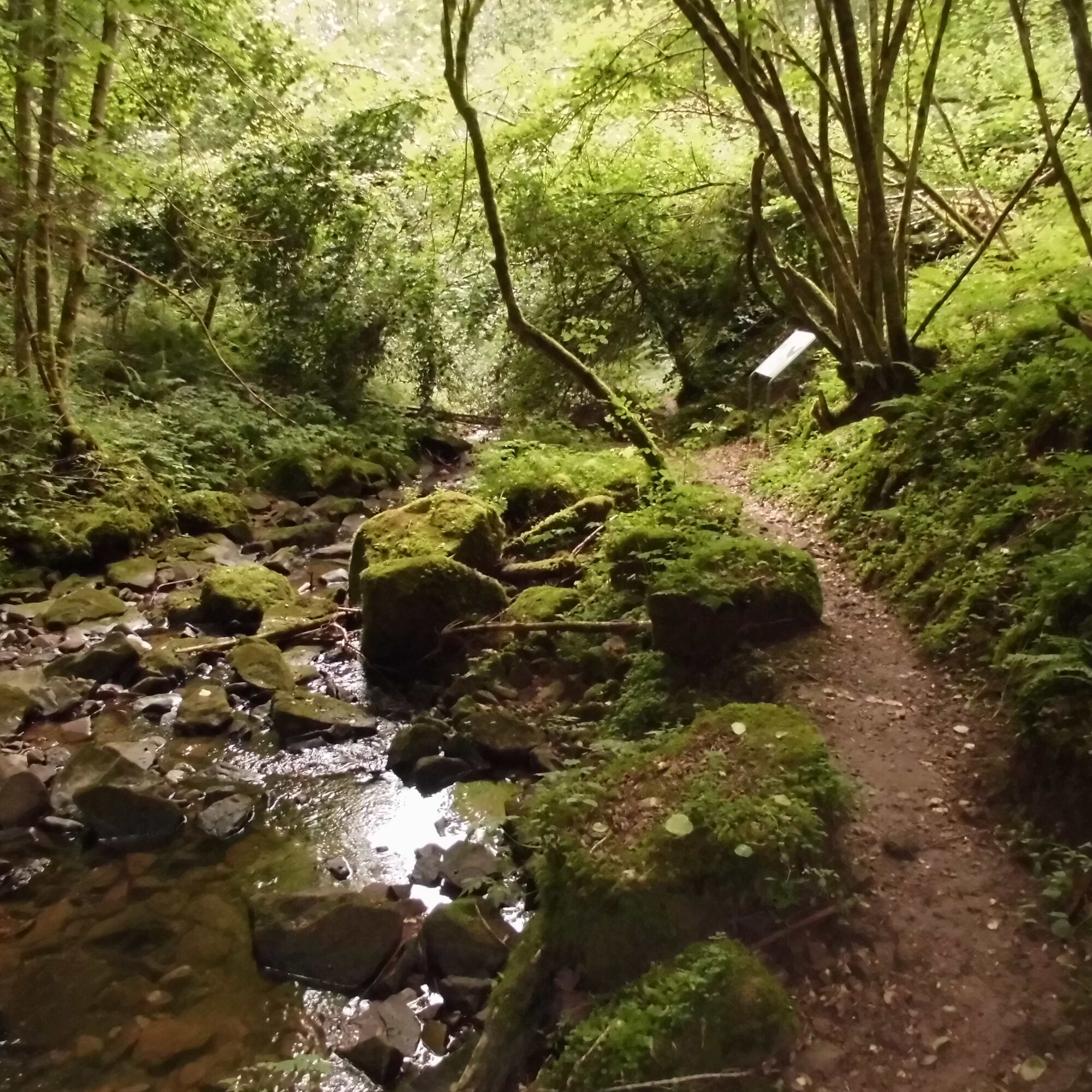
The hike initially leads from the visitor mine of the Hella-Glück tunnel down into the idyllic Ziegelbach Valley. After crossing the babbling stream, we walk past the historic Lochsawmill with its large waterwheel. A path leads through the green Ziegelbach Valley before we can catch glimpses of Oberhaugstett at the edge of the forest. Between woods and meadows, the path always leads around Oberhaugstett and gifts us with panoramic views into the distance. If we're lucky and the weather shows its best side, we can even see the Swabian Jura. Soon we are completely surrounded by meadows and fields that accompany us to the town of Neubulach. The picturesque town center invites you to explore and marvel with its historic city gate, the remains of the city wall, the magnificent half-timbered houses, and the Bergvogtei.
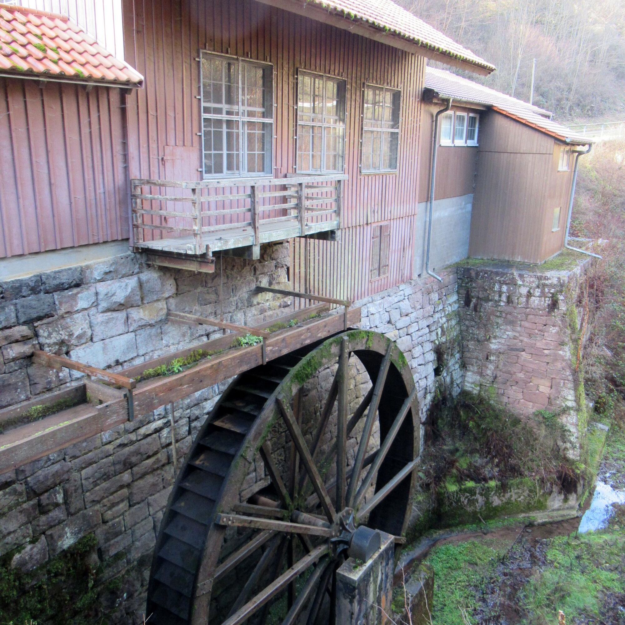
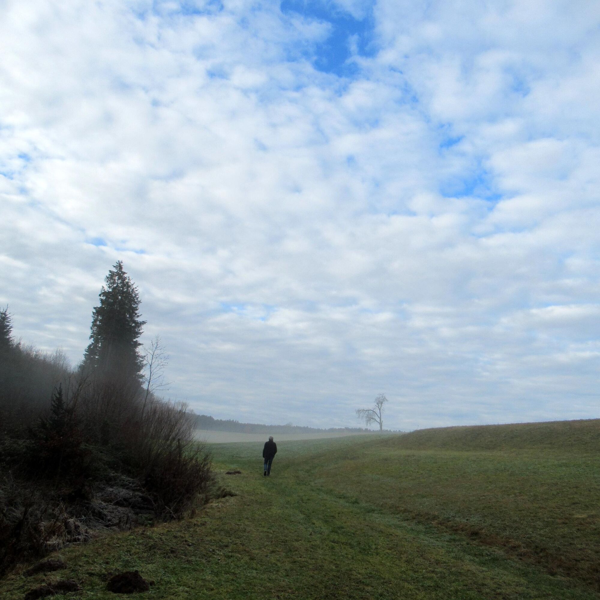
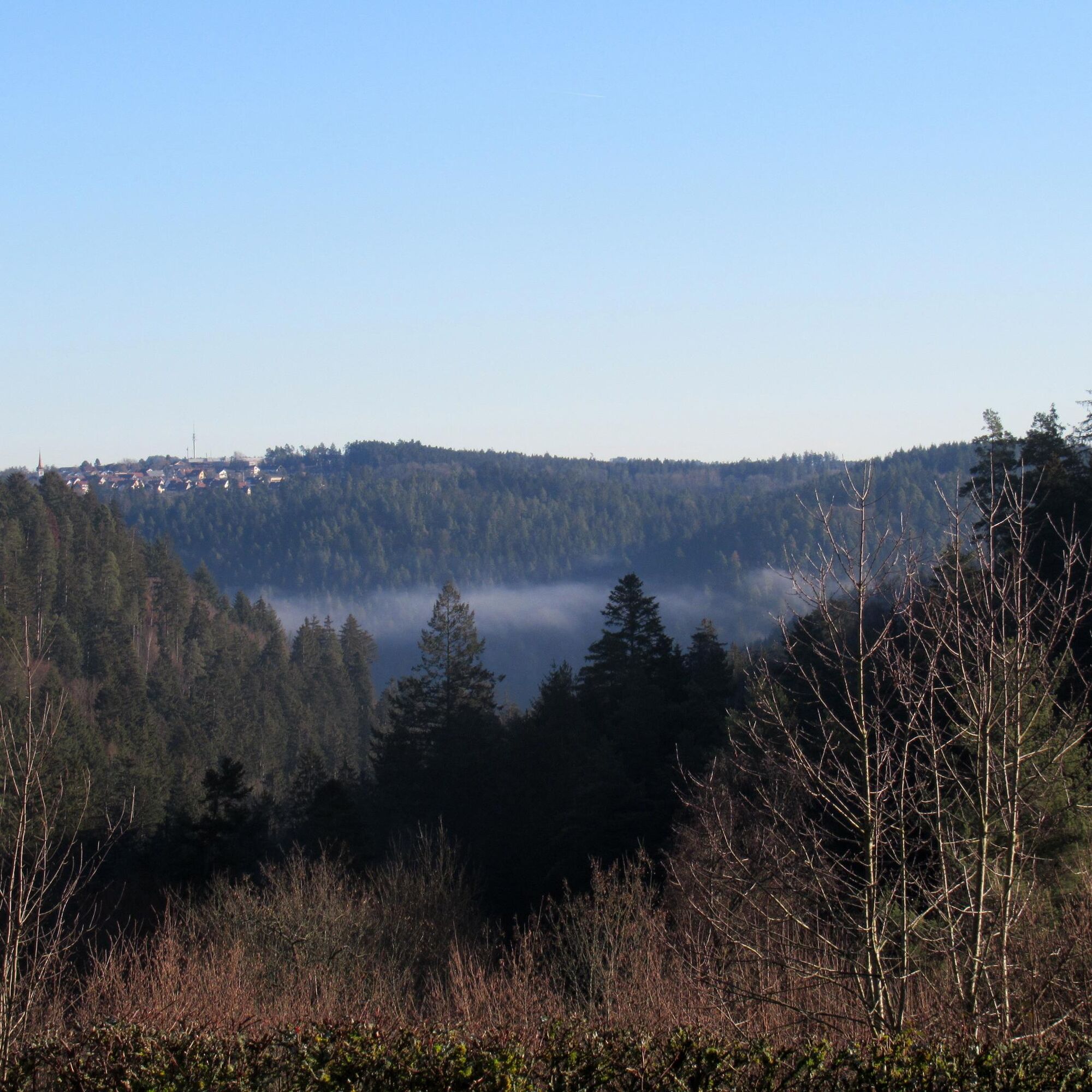
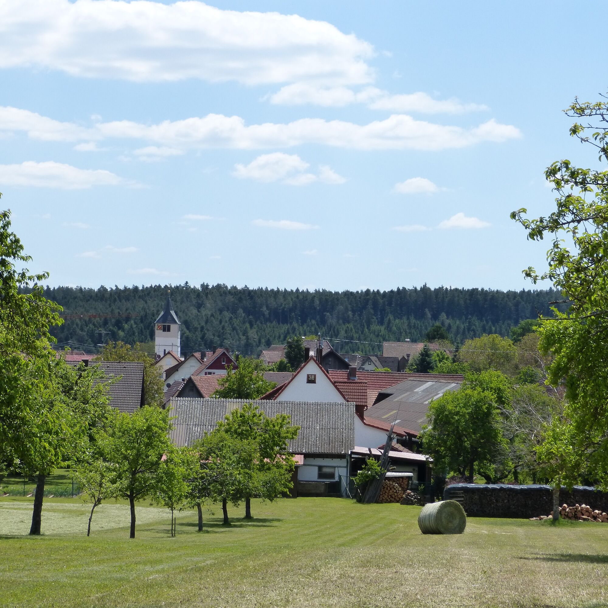
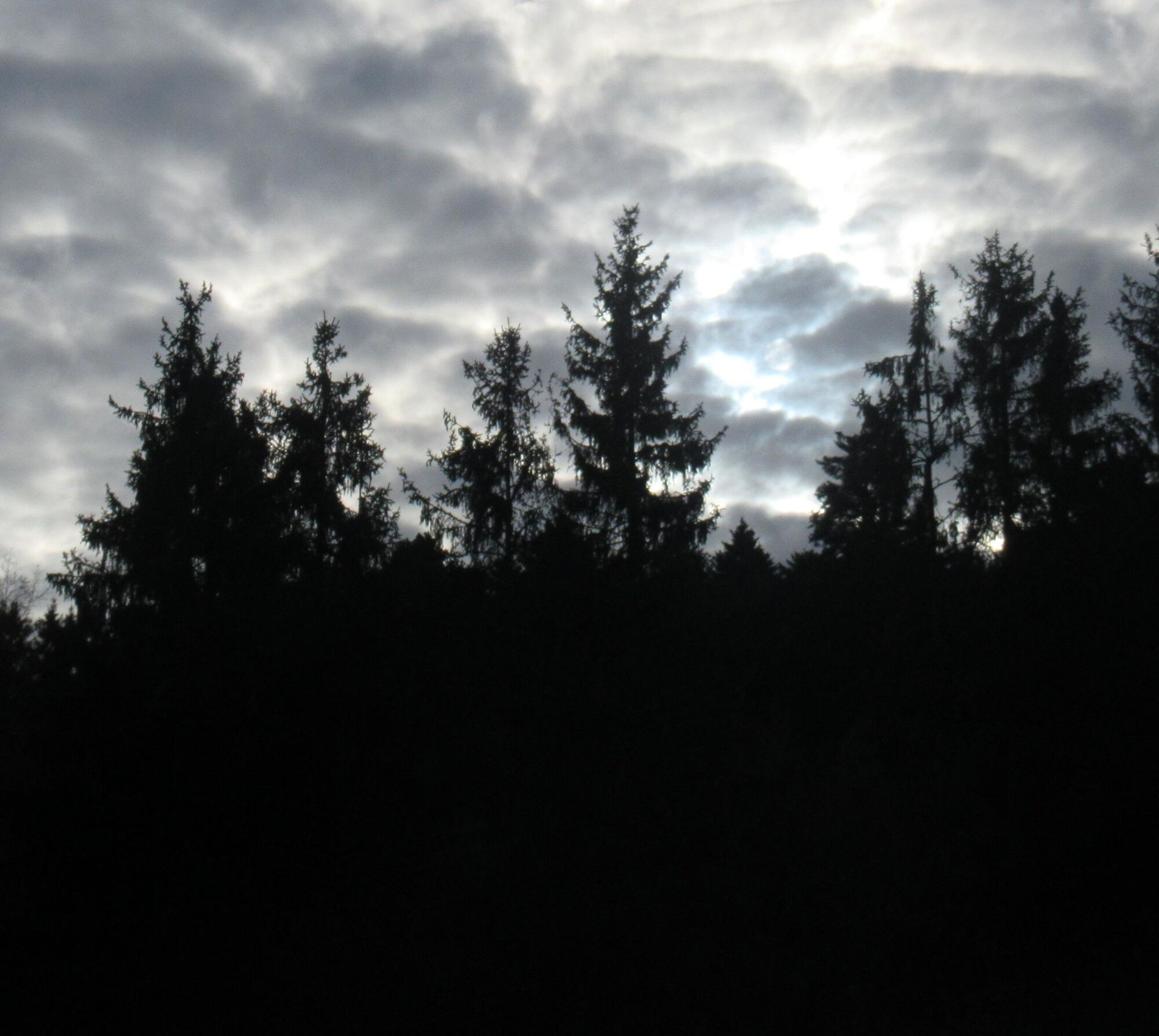
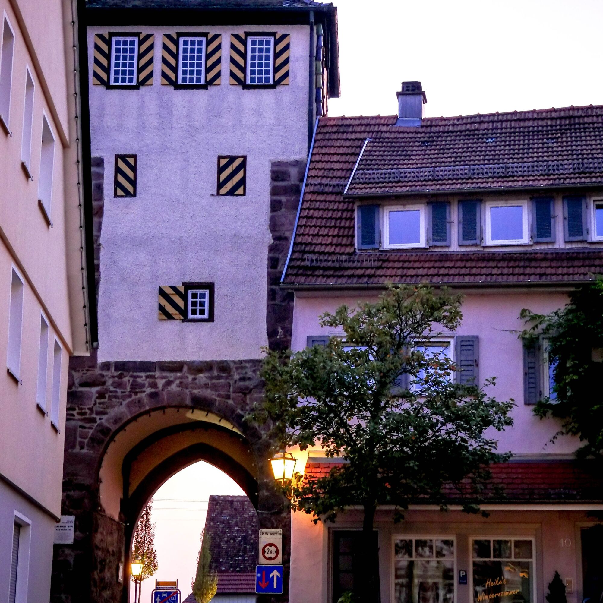
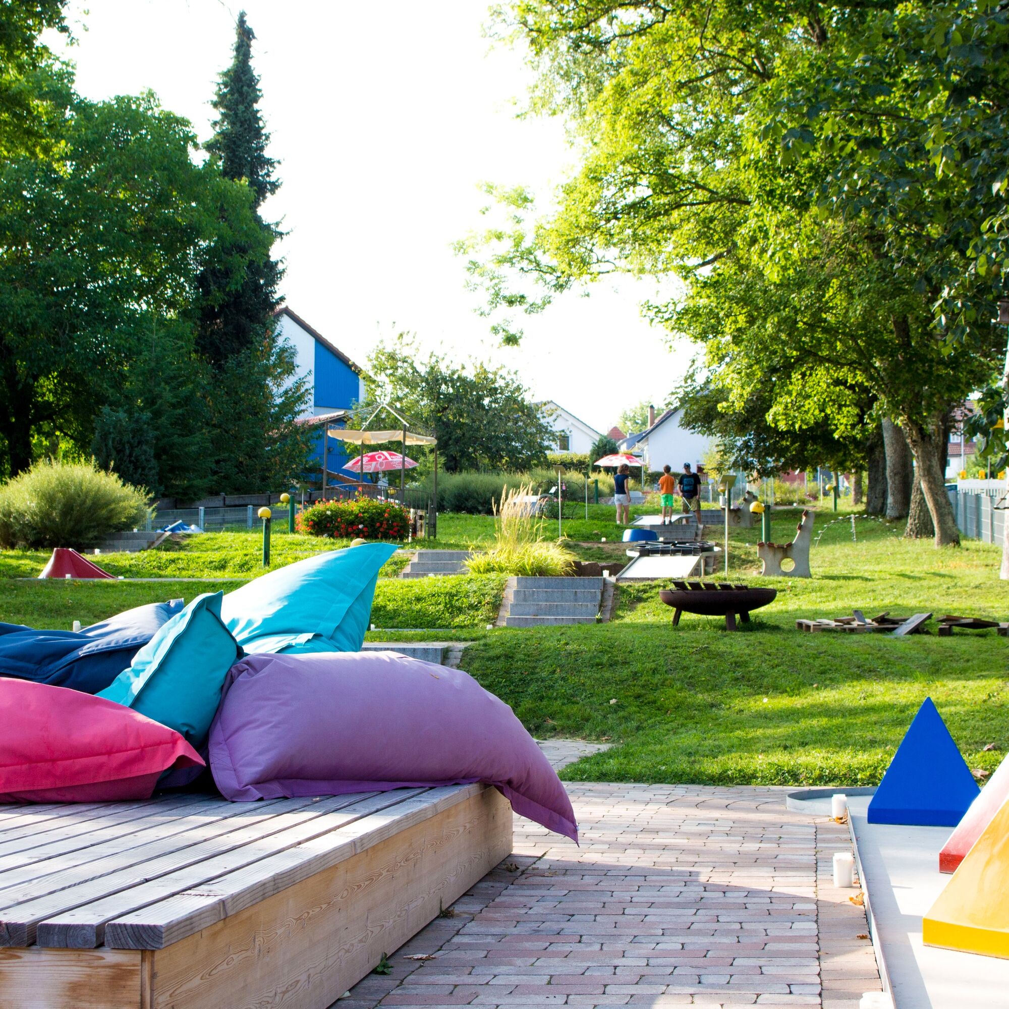

We start the route at the parking lot of the visitor mine and follow the diamond signs of the Black Forest Club. From the signpost visitor mine, it goes down into the Ziegelbach Valley. At the Lochsawmill, it leads to the signpost of the same name and from there to the right, up out of the valley via the nature trail. We always follow the diamond signs along the edge of the forest, cross the main road, and continue hiking to the signpost Herdweg. For a short distance, we now follow the East Path to the next signpost Lower Hummelberg, where we turn left. Via the signpost Hummelberg, we follow the diamond about 700 m. Then the diamond turns left, but we leave the diamond for a short distance and go straight ahead towards Neubulach. For a few meters, we reach the East Path to then hike into the forest path. Straight ahead, we come to Mathildenstraße, which brings us to Marktstraße and back to the diamond. We turn right and follow the diamond to the signpost Neubulach Market Square, Neubulach and Neubulach Minigolf Course until we arrive back at the parking lot of the visitor mine.
Hiking boots, a small backpack snack, and drinks are recommended.
A8 Karlsruhe, AS Pforzheim-West, B294 to Calmbach and B296 to Oberreichenbach, then L348 Neubulach
A8 from Stuttgart, AS Leonberg, B295 towards Weil der Stadt, Calw, B463 Teinach station, then L348 Neubulach
A81 AS Herrenberg, B28 and B296 to Calw, B463 Teinach station, L348 to Neubulach
Bus line 640 between Calw and Neubulach
Footpath between town center & mine: approx. 1 km
Footpath from the minigolf course stop: approx. 500 meters
The Bad Teinach train station is located 8 km outside on the Nagold Valley Railway (Culture Line) from Pforzheim to Horb. Modern railcars run on this line every half hour with connections to the InterRegio network in Pforzheim and the ICE and IC networks in Karlsruhe. Good connections to all districts are guaranteed by the bus service to Neubulach and the taxi service (Tel. 0 70 53 / 9 69 60). There is no ticket counter at the Bad Teinach station. The nearest ticket counter is located at the Calw station (Calw travel center, Bischofstraße 10 in 75365 Calw, phone 07051 2355, service times Monday to Friday 08:00 to 18:00). More info: www.bahn.de
On the website of the Baden-Württemberg electronic timetable information, you will find bus and train connections in relation to public transport. http://www.efa-bw.de
Parking lot of the "Hella Glück" visitor mine Neubulach
Teinachtal Touristik Neubulach
Marktplatz 3
75387 Neubulach
Email: info@neubulach.de
Tel.: 07053 969510
You will find culinary refreshments and to-go offers at the Landgasthof Löwen.
For a culinary break, the Landgasthof Löwen in Oberhaugstett invites you. A detour for Swabian and homemade specialties is worth it!
Uzyskaj wgląd
Zawsze na żywo z ponad 9 500 kamer internetowych. bergfex Jako użytkownik Pro, możesz teraz zobaczyć odpowiednie kamery internetowe dla wielu wycieczek w aplikacji wycieczki od. Pozwala to na bezpośredni podgląd aktualnych warunków.
Popularne wycieczki w okolicy
-
4,7
Through the wild romantic Schweinbachtal to the Bruderhöhle cave
średniWędrówka 13,8 km -
4,5
Wolfsschlucht and Fox Gorge
średniWędrówka 9,74 km -
5,0
Der Teinacher (Premiumweg & Genießerpfad)
średniWędrówka 12,0 km -
5,0
Water, Woods and Meadowtrail / Zavelstein > Calw (Premium trail & Genussweg)
ciężkiWędrówka 14,4 km -
5,0
AugenBlick route Bad Teinach-Zavelstein Zettelberg
ciężkiWędrówka 15,5 km -
5,0
Rundwanderweg Sulzkar
średniWędrówka 12,4 km -
5,0
Hike through the idyllic Kälbertal
średniWędrówka 8,01 km -
5,0
GeoTour Wildberg through the picturesque Lützenschlucht
ciężkiWędrówka 2,80 km -
4,5
Waldeck ruins and the largest water wheel in Europe
średniWędrówka 15,4 km -
4,0
Through the Lengenbach valley to the historic Burg Liebenzell
średniWędrówka 10,9 km
Wędrówki i tropienie


Nie przegap ofert i inspiracji na następne wakacje
Twój adres e-mail została dodana do listy mailingowej.





