







Anniversary hiking route 1250 years Urphar

Poziom trudności: T1
Urphar nestles near the tip of the Urphar bend of the Main River in the eastern foothills of the Odenwald. Particularly worth seeing is the Jakob Church, whose oldest parts were built before the year 1...
Urphar nestles near the tip of the Urphar bend of the Main River in the eastern foothills of the Odenwald. Particularly worth seeing is the Jakob Church, whose oldest parts were built before the year 1000 - with impressive wall paintings from the 14th century.
The approximately 13-kilometer-long route is continuously marked, easy to walk, and requires a good basic fitness level with about 260 meters of elevation gain. The starting point is on the Main, directly behind the fire station in Urphar. From there, the path leads through the Kembach valley back into the Main valley and finally above the town back to the starting point.

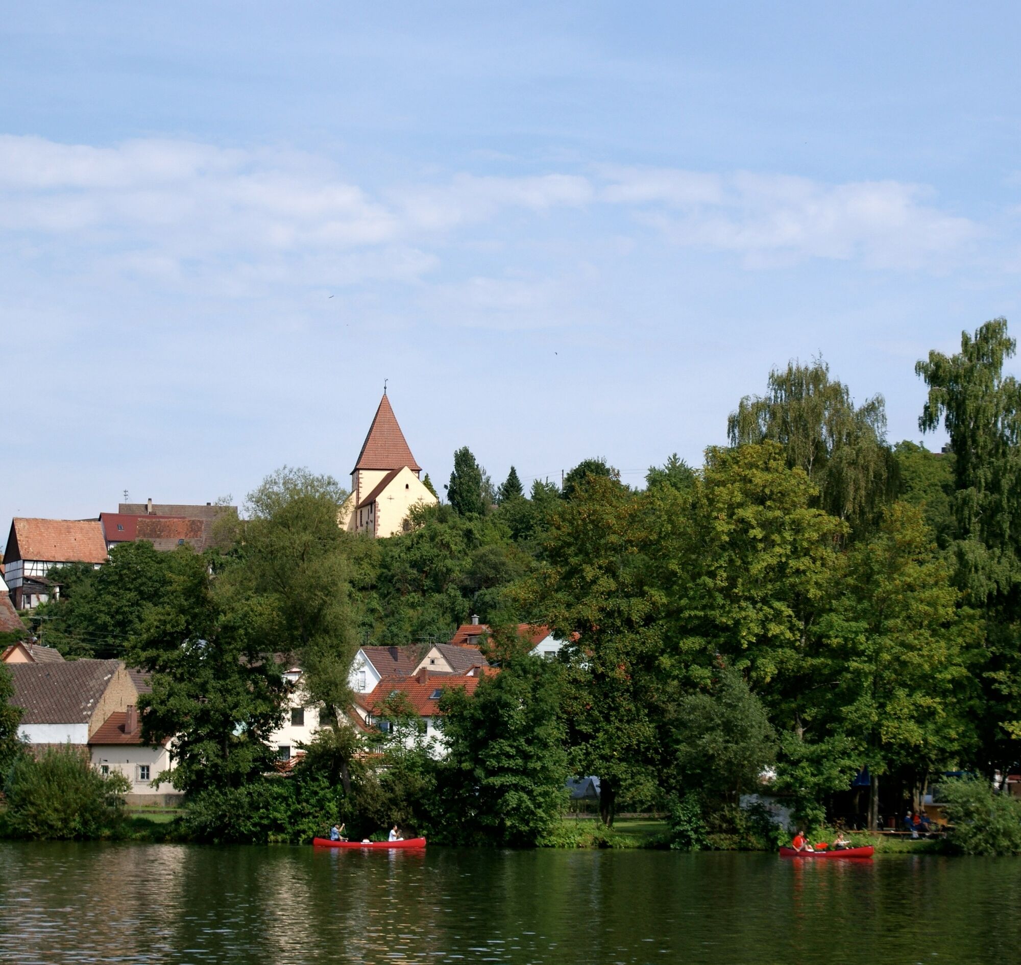

The approximately 13-kilometer-long route is continuously marked, easy to walk, and requires a good basic fitness level with about 260 meters of elevation gain. The starting point is on the Main, directly behind the fire station in Urphar. From there, the path leads through the Kembach valley back into the Main valley and finally above the town back to the starting point.
Tak
Good footwear recommended
Parking options behind the fire station in Urphar
T1
After about 7 kilometers, there is the possibility to shorten the route above the town.
Popularne wycieczki w okolicy
-
5,0
On the way to Himmelreich
średniWędrówka 15,0 km -
4,0
Around the Kaffelstein
światłoWędrówka 4,71 km -
Wertheim - Urphar - Wertheim
średniWędrówka 12,8 km -
4,5
Homburg Wine Hiking Trail
średniWędrówka 7,65 km -
South Spessart Trail
ciężkidługodystansowy szlak pieszy 60,8 km -
4,0
Wein-Tauber hiking trail - circular route from Bronnbach
średniWędrówka 10,4 km -
4,0
Schleusen-Wanderung
światłoWędrówka 7,15 km -
European Cultural Trail: From the Castle Hall to the Monastery Shine - At the Holle Tree and Piper Hans
średniWędrówka 21,6 km -
4,0
Rund um den Apfelberg
światłoWędrówka 8,18 km -
Panorama hiking route – through vineyards and hilly expanses
średniWędrówka 12,6 km
Wędrówki i tropienie


Nie przegap ofert i inspiracji na następne wakacje
Twój adres e-mail została dodana do listy mailingowej.





