






AugenBlick route Bad Liebenzell Beinberg
The starting point is either at the station or at the Rohrbrunnen forest car park. The path runs along the Nagold through the idyllic spa and SOPHI park. It continues through the quiet Kollbach valley,...
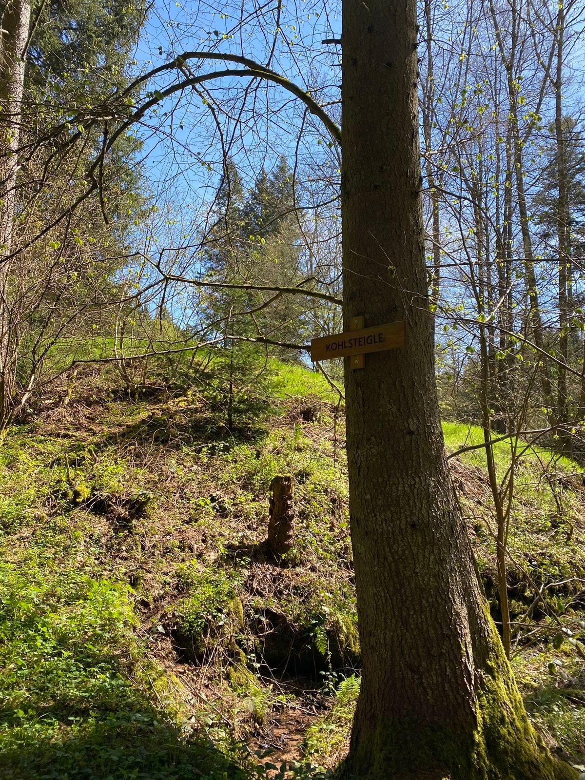
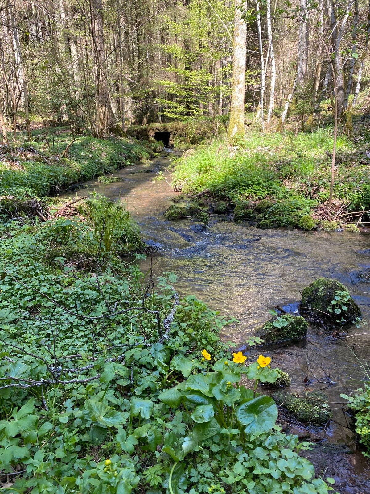
The starting point is either at the station or at the Rohrbrunnen forest car park. The path runs along the Nagold through the idyllic spa and SOPHI park. It continues through the quiet Kollbach valley, past the Kollbrunnen and the Maisenbach sports field, up to the first panorama board with a magnificent view of the Swabian Jura.
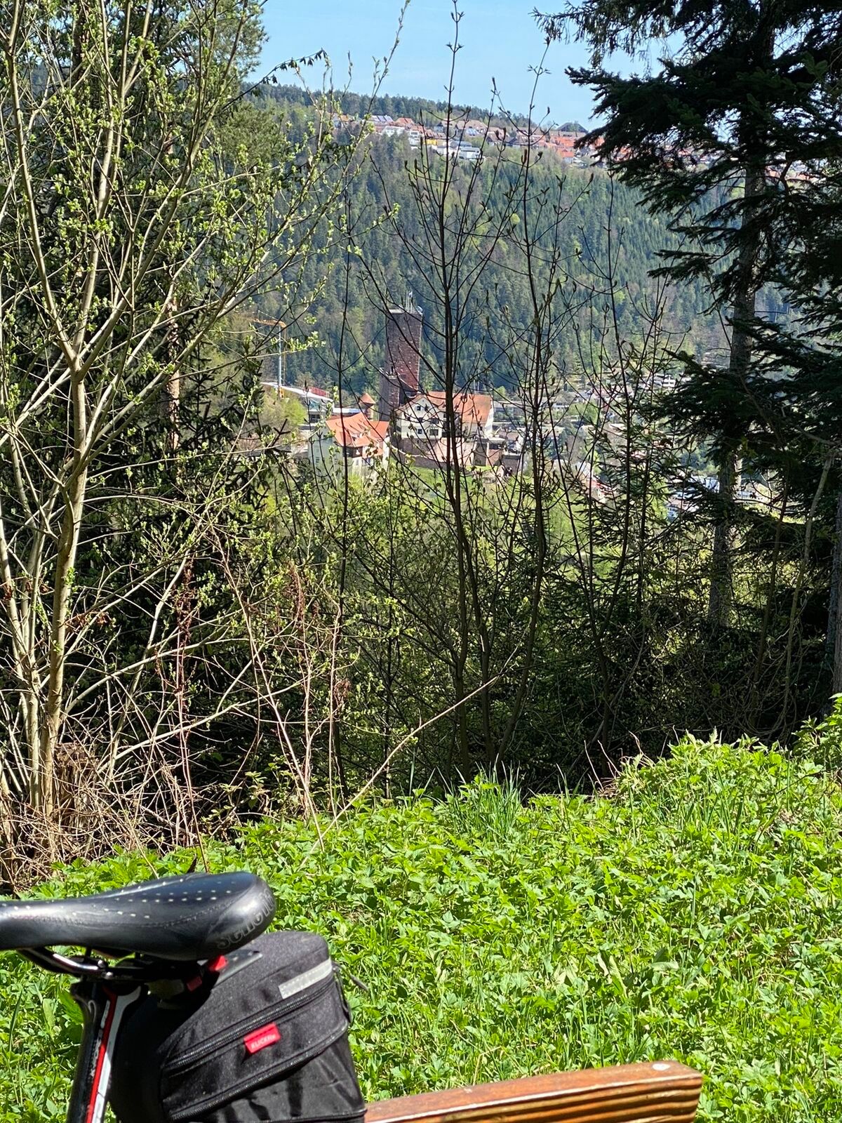
The picturesque rest area at Rohrbrunnen invites you to take a break before the route continues through forests and meadows to Beinberg. At AugenBlick, there is a spectacular view over the valley. The wide view and beautiful nature can be enjoyed from an inviting bench.
The hike ends through the forest past Schönblick, down to Bad Liebenzell. The new AugenBlick route invites you to fully experience the beauty of the Black Forest.
Further information can be found at www.tourismus-bad-liebenzell.de or www.naturpark-augenblicke.de. The Tourist Info in Bad Liebenzell is available for questions at tourismus@bad-liebenzell.de or phone 07052 408-333.
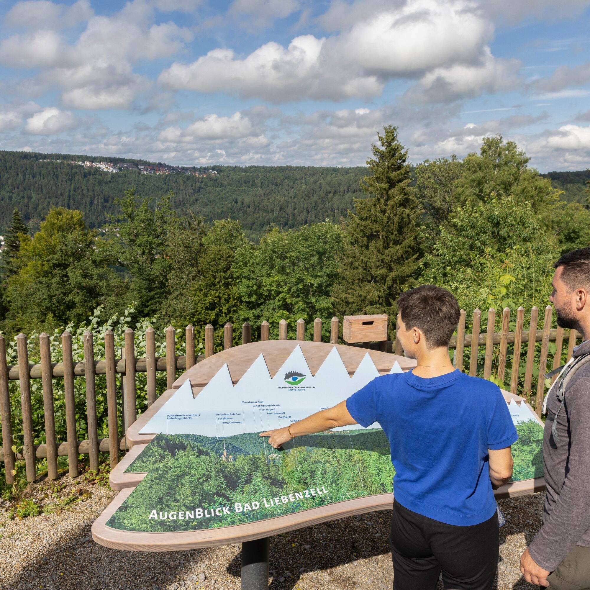
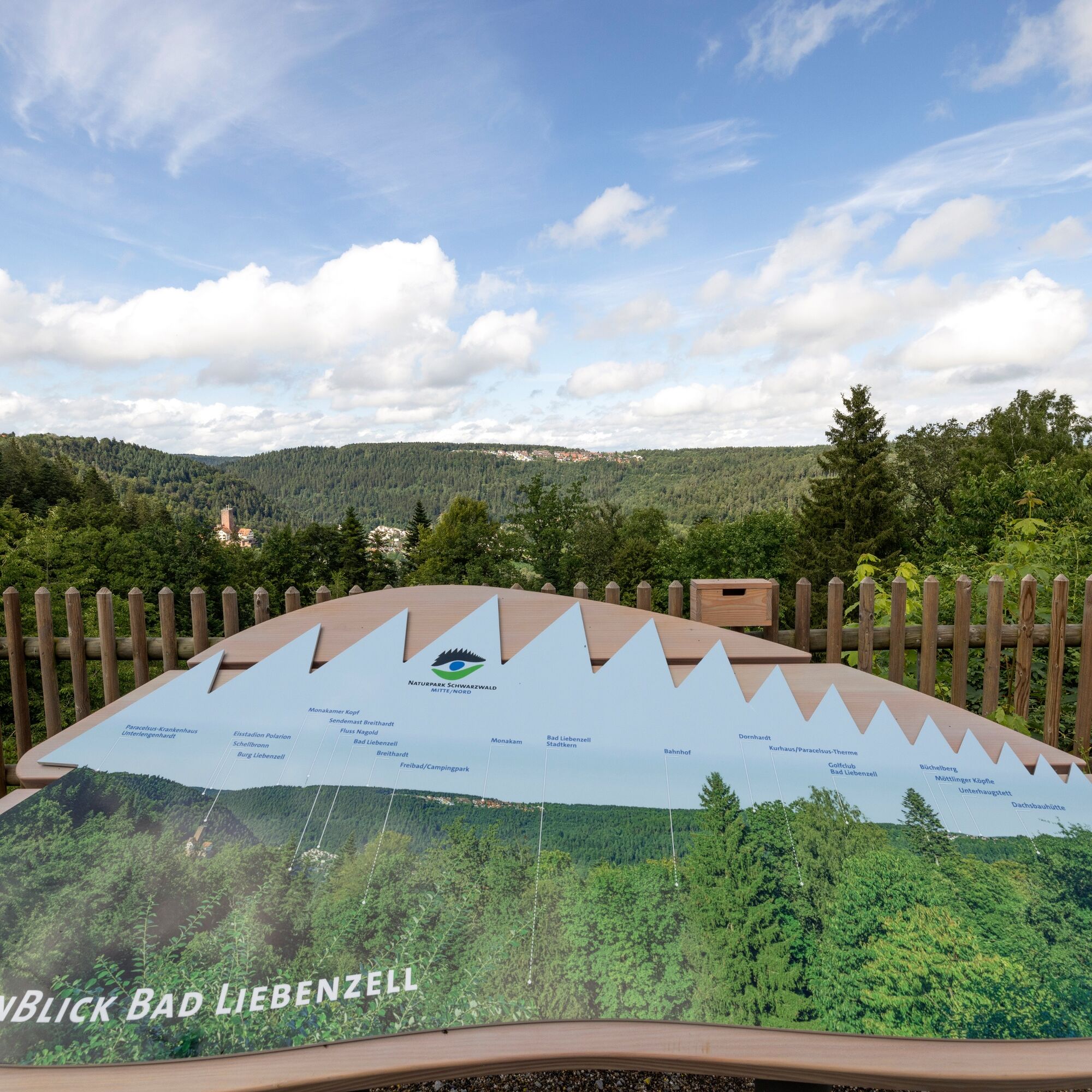
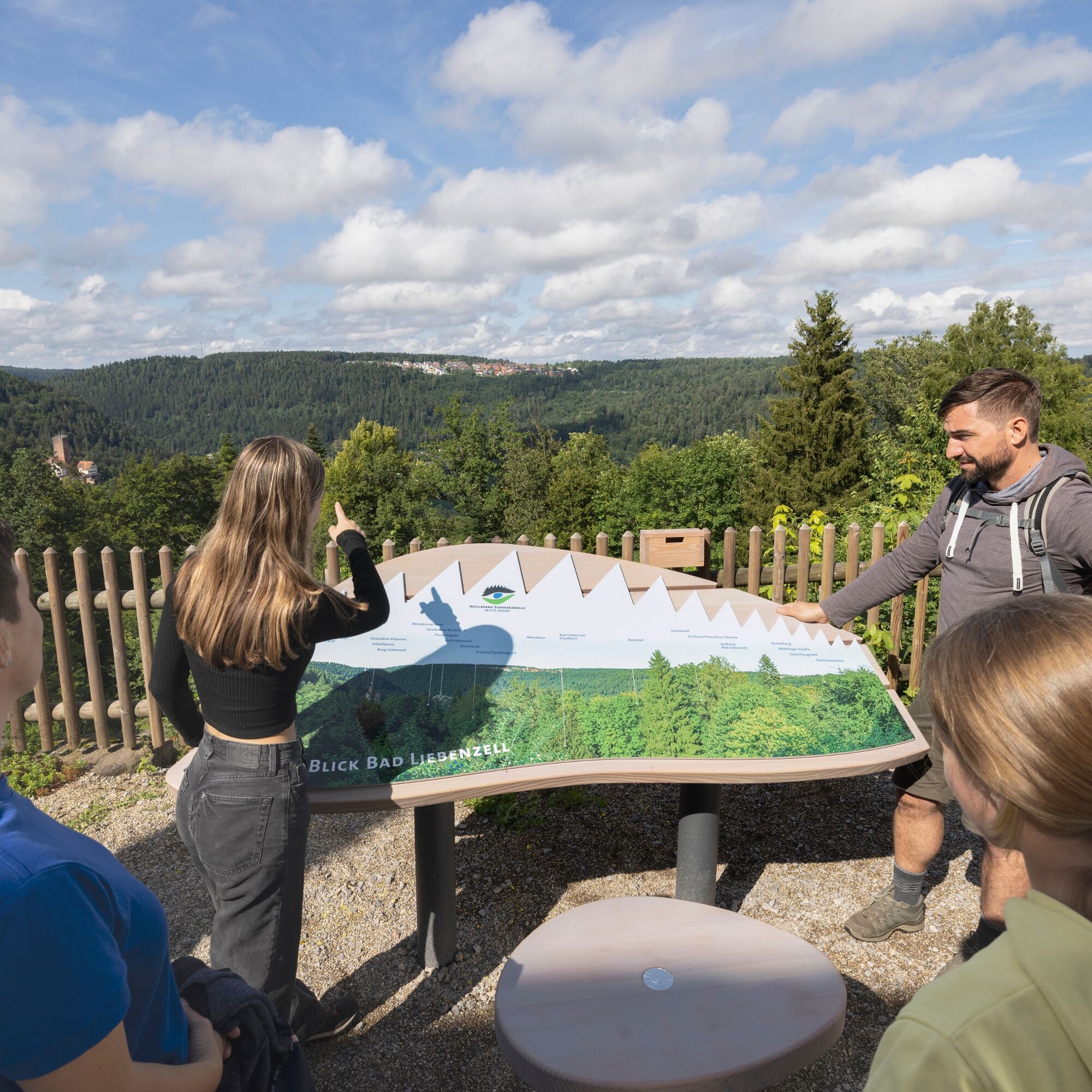
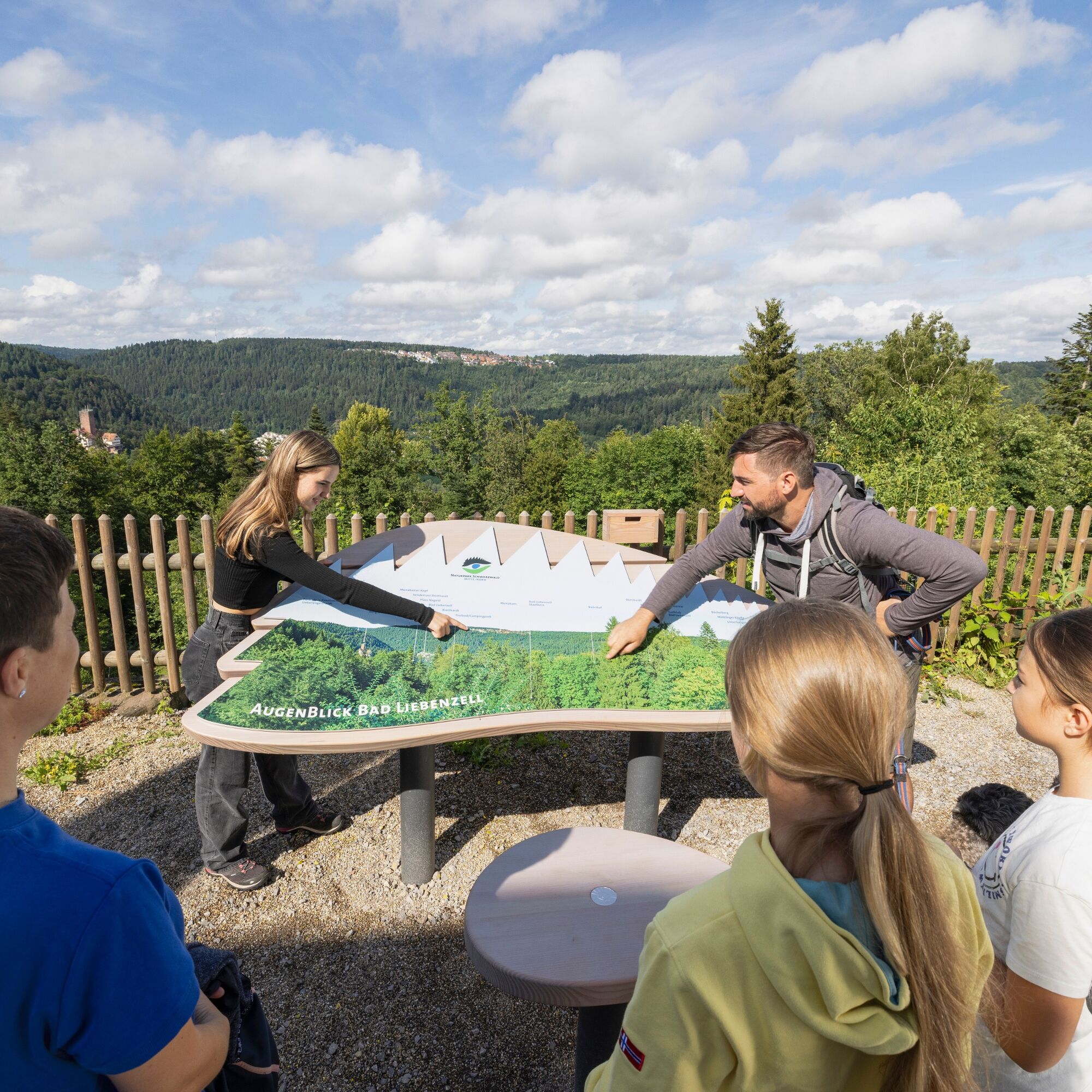
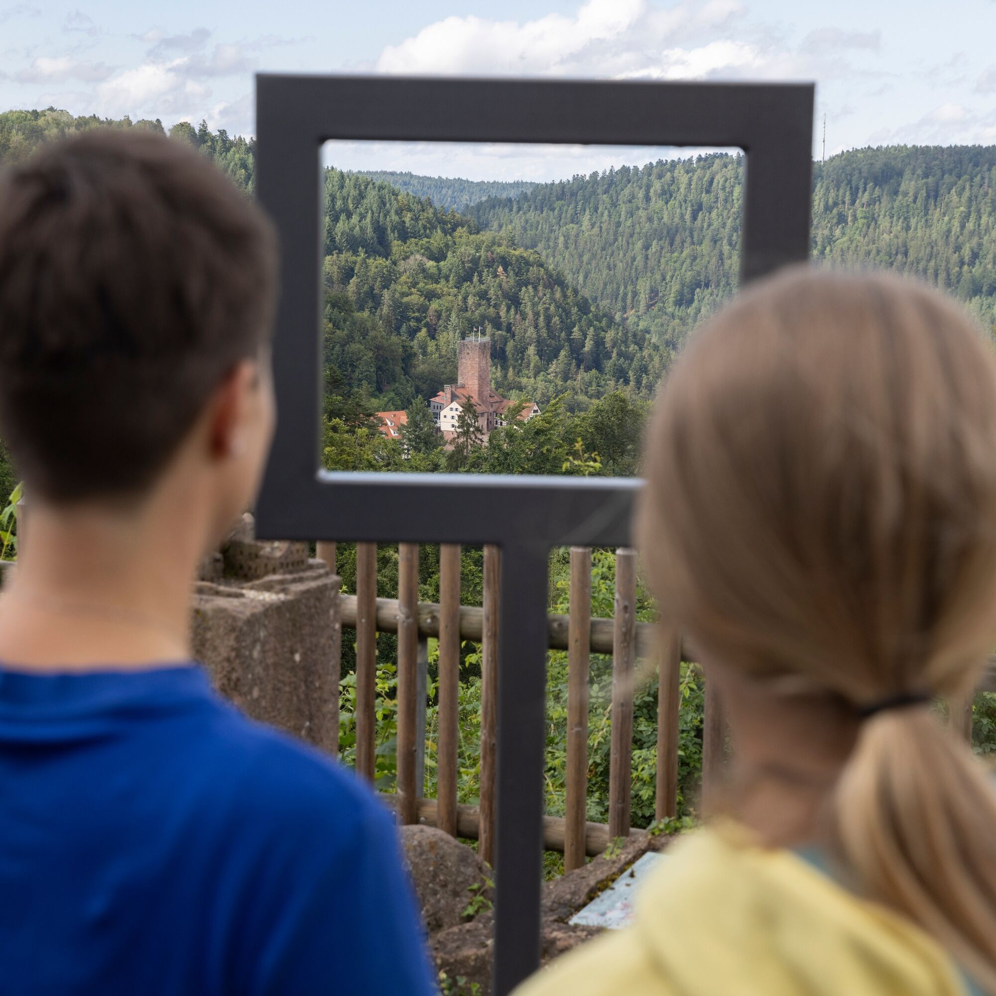
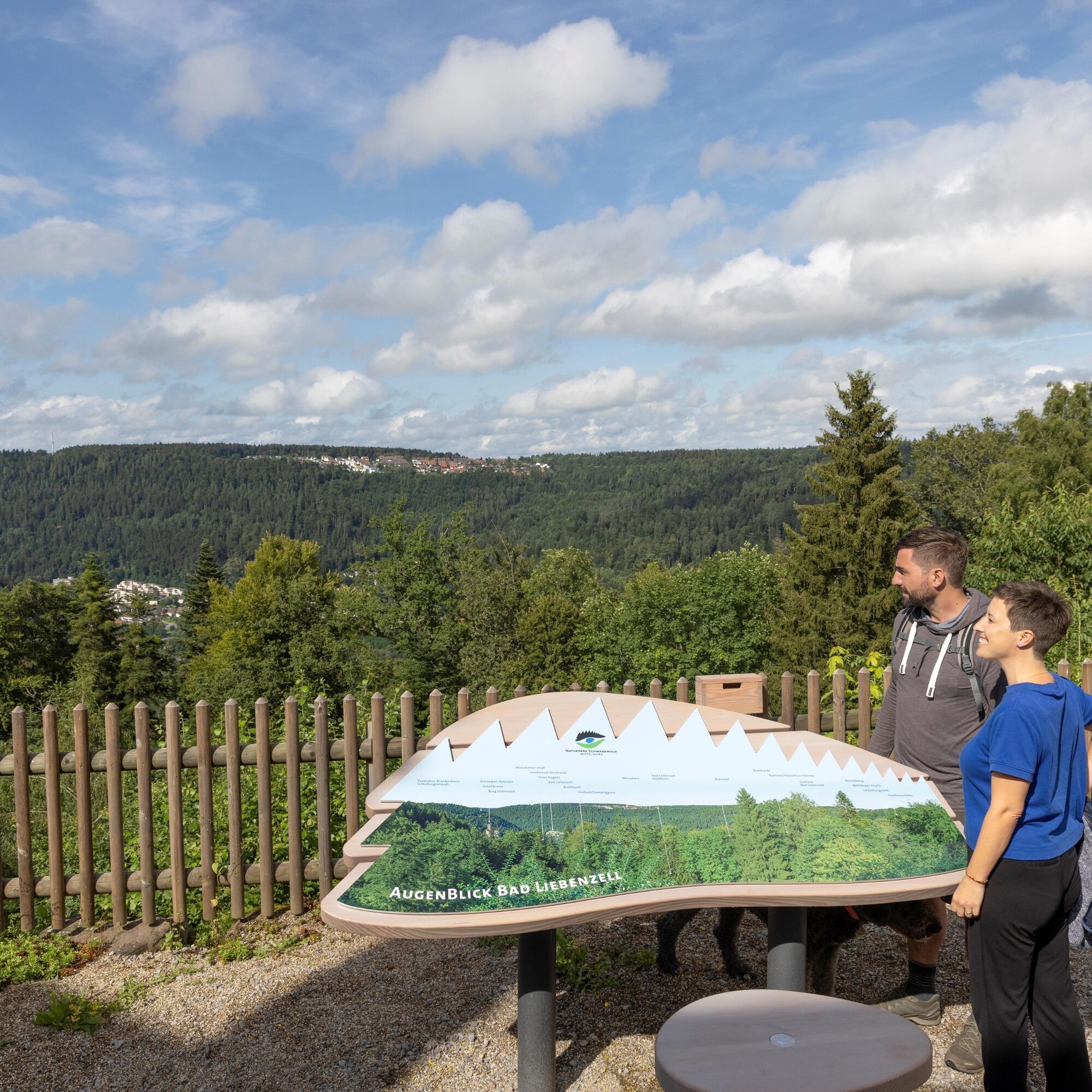
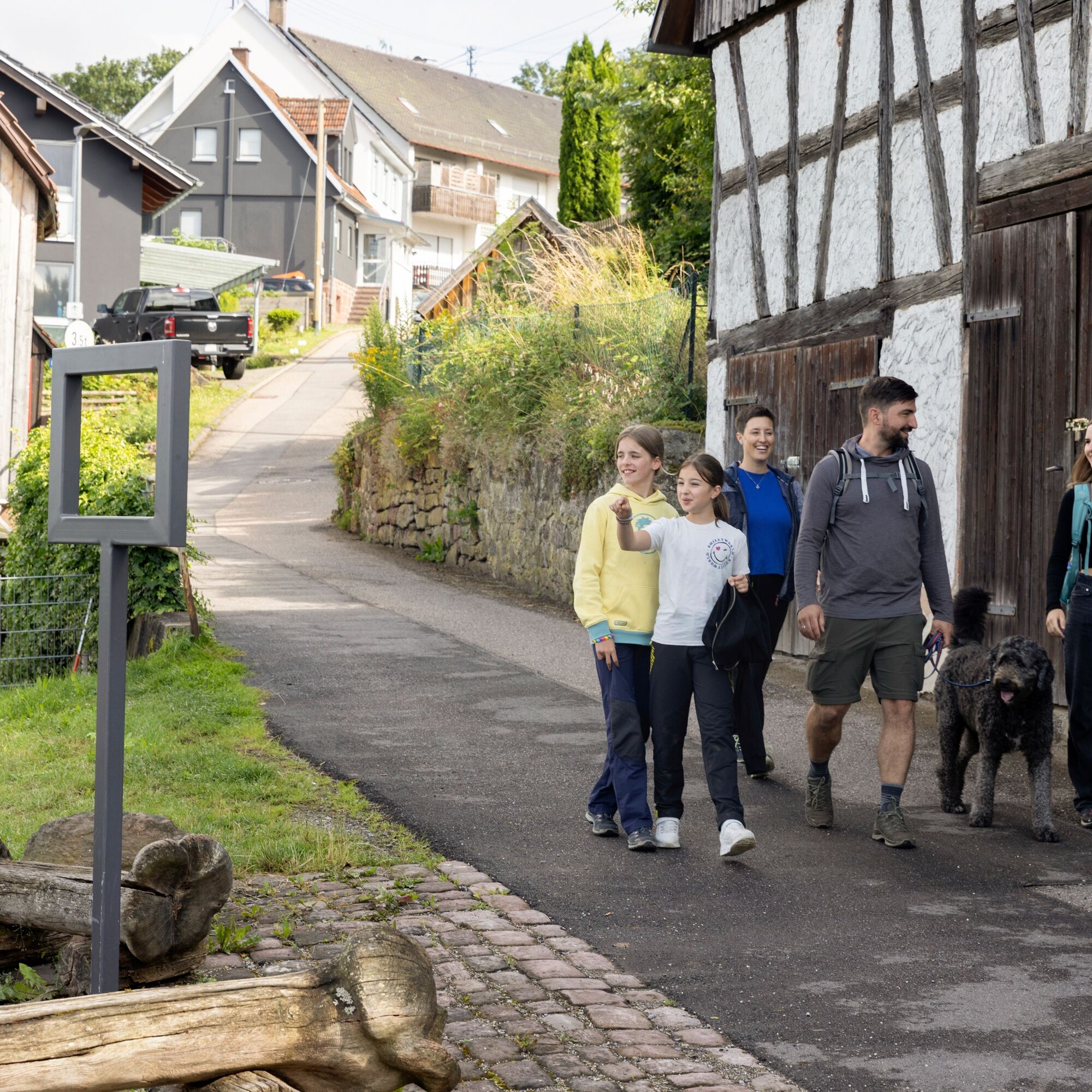
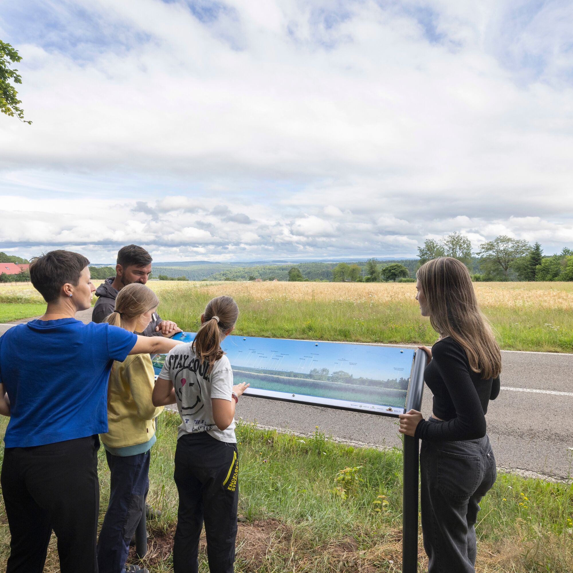

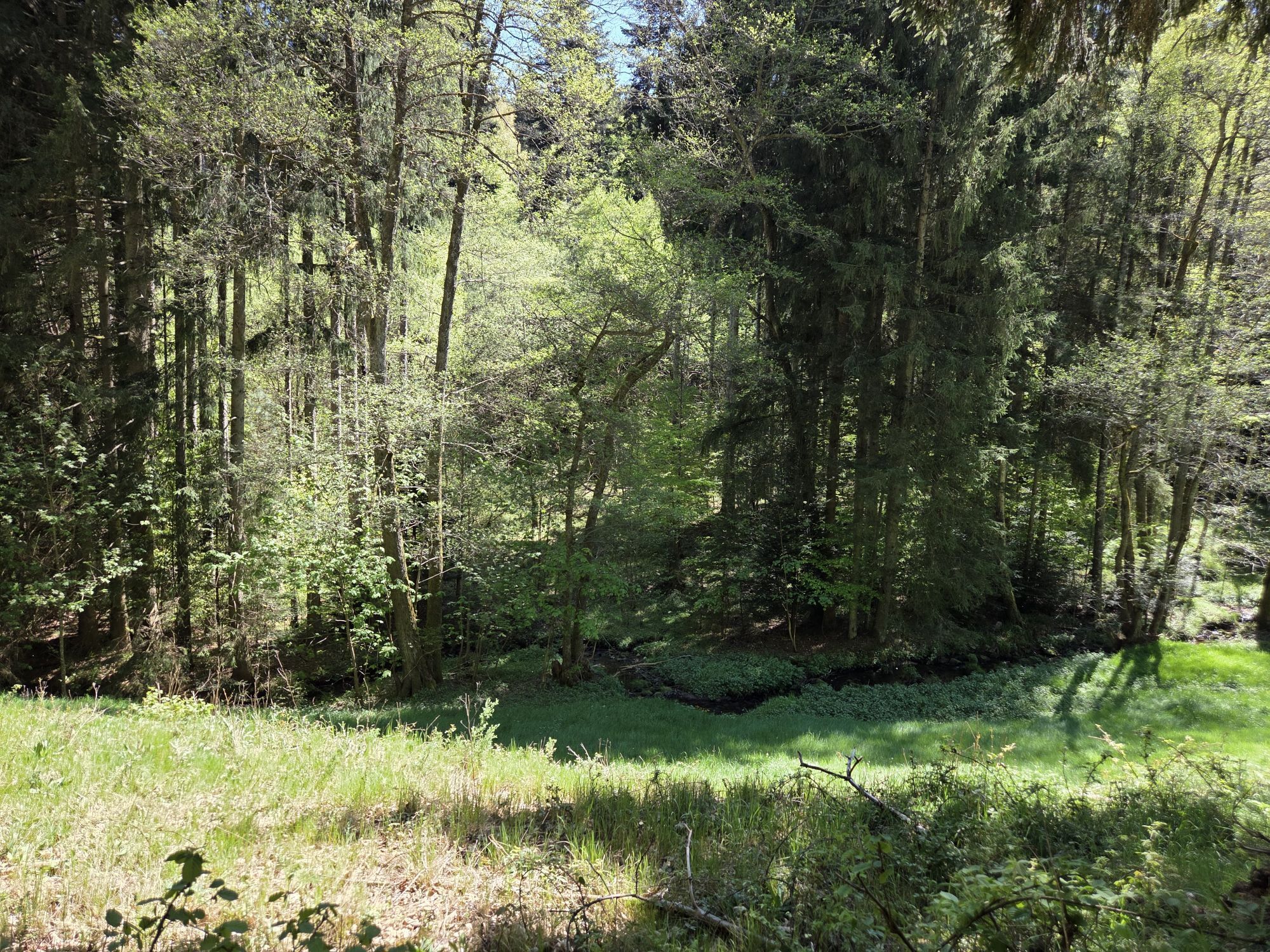
The AugenBlick route Bad Liebenzell-Beinberg starts directly at the Bad Liebenzell train station. The route leisurely begins past the spa house and along the Nagold through the spa park and SOPHI park. At the mineral spring, the federal road is crossed, and then it gently goes steadily uphill through the idyllic Kollbach valley. A first rest can be taken at the Kollbrunnen. The route continues through the forest to the Maisenbach sports field. Shortly after, there is a magnificent view of the Swabian Jura. Back in the forest, the route leads to the picturesque rest stop at Rohrbrunnen before going through woods and meadows into Beinberg, where there is also an opportunity to stop for refreshments. At the village edge, you reach the AugenBlick and can enjoy the view over the valley. Afterwards, the route leads back through the forest past Schönblick down to Bad Liebenzell.
Tak
Arrival at the starting point
Bad Liebenzell is very well accessible by train. The Nagold Valley Railway from Pforzheim to Horb or Tübingen stops in Bad Liebenzell and runs regularly on weekends as well. The starting point of the AugenBlick route is directly at the station.
If you arrive by car, enter the coordinates or Bahnhofstraße 17, 75378 Bad Liebenzell as the destination. If arriving by car, the alternative starting point at the Rohrbrunnen forest car park is also an option (coordinates 48.768703, 8.708041).
Arrival at AugenBlick
The AugenBlick in Beinberg itself is also accessible by car. Enter Bergstraße 83, 75378 Bad Liebenzell as the opposite house or the coordinates 48.769336, 8.722576.
Parking is available at and around the station, as well as at the Paracelsus Spa (paid) and at the spa house.
Experience the AugenBlick Bad Liebenzell and also all other AugenBlicke in the nature park virtually at www.naturpark-augenblicke.de. A high-resolution gigapixel photograph gives you a preview of the view. Here you can click on interesting points and thus inform yourself about your excursion destination in advance.
Leisure & Tourism Bad Liebenzell GmbH
Kurhausdamm 2 - 4
75378 Bad Liebenzell
www.tourismus-bad-liebenzell.de
Tel. 07052 408-333
You can find the flyer for the route here.
Surrounded by beautiful Black Forest nature, numerous places of well-being and tranquility can be found in Bad Liebenzell. The romantically wild nature offers ideal starting points for all outdoor enthusiasts.
A visit to the historic Liebenzell Castle, the beautiful spa park, as well as a hike on the Erkinger Way or through the Monbach Gorge are also recommended.
Tip after the hike: Thanks to the Paracelsus Spa, no wellness wishes remain unfulfilled. All information at www.paracelsus-therme.de
Uzyskaj wgląd
Zawsze na żywo z ponad 9 500 kamer internetowych. bergfex Jako użytkownik Pro, możesz teraz zobaczyć odpowiednie kamery internetowe dla wielu wycieczek w aplikacji wycieczki od. Pozwala to na bezpośredni podgląd aktualnych warunków.
Popularne wycieczki w okolicy
-
4,7
Hiking through the Monbach Gorge in search of the kingfisher
średniWędrówka 10,5 km -
5,0
Wild romantic Monbach Valley
światłoWędrówka 6,25 km -
4,7
Through the wild romantic Schweinbachtal to the Bruderhöhle cave
średniWędrówka 13,8 km -
4,5
Wolfsschlucht and Fox Gorge
średniWędrówka 9,74 km -
5,0
Der Teinacher (Premiumweg & Genießerpfad)
średniWędrówka 12,0 km -
5,0
Water, Woods and Meadowtrail / Zavelstein > Calw (Premium trail & Genussweg)
ciężkiWędrówka 14,4 km -
5,0
From Bieselsberg into the wild Monbach valley - dream route on small paths
ciężkiWędrówka 18,0 km -
5,0
AugenBlick route Bad Teinach-Zavelstein Zettelberg
ciężkiWędrówka 15,5 km -
4,5
Waldeck ruins and the largest water wheel in Europe
średniWędrówka 15,4 km -
4,0
Through the Lengenbach valley to the historic Burg Liebenzell
średniWędrówka 10,9 km

Wędrówki i tropienie


Nie przegap ofert i inspiracji na następne wakacje
Twój adres e-mail została dodana do listy mailingowej.





