


Through beech forests to Hohe Warte
The hike begins directly along the Nagold River and leads through the charming village of Unterreichenbach. Shortly after, you enter the forest. Here, the typical Black Forest shows its other side with...
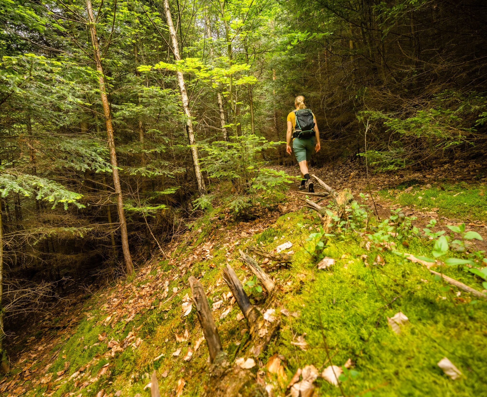
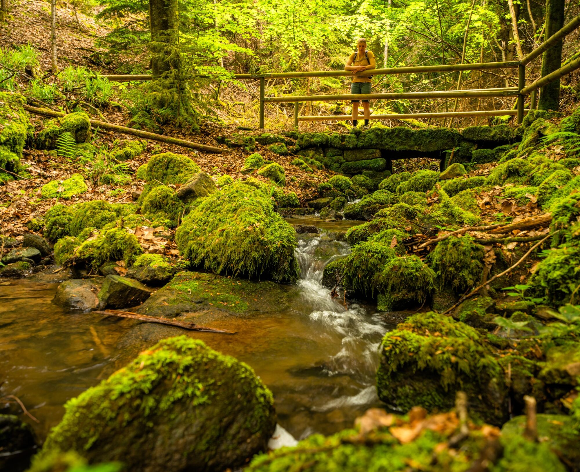
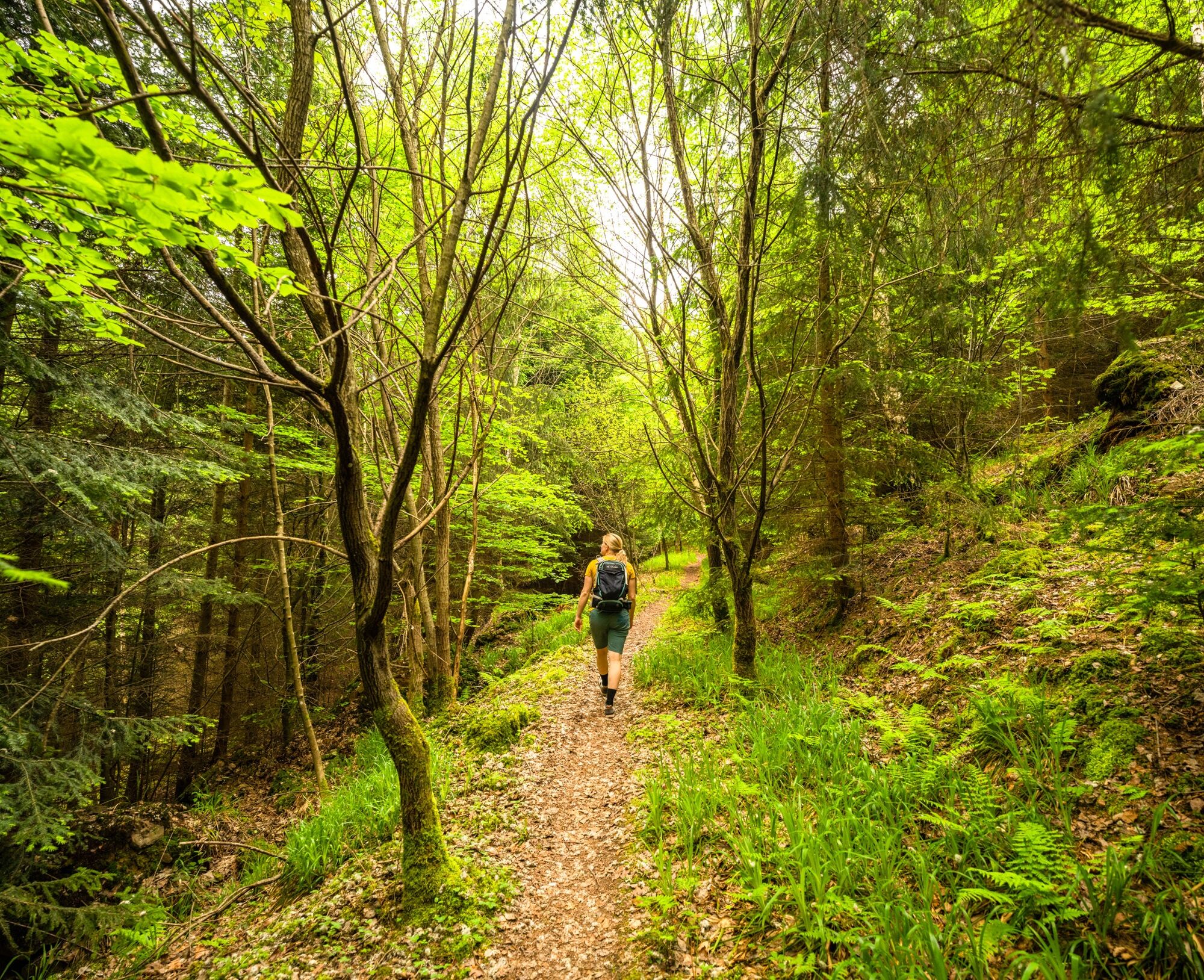
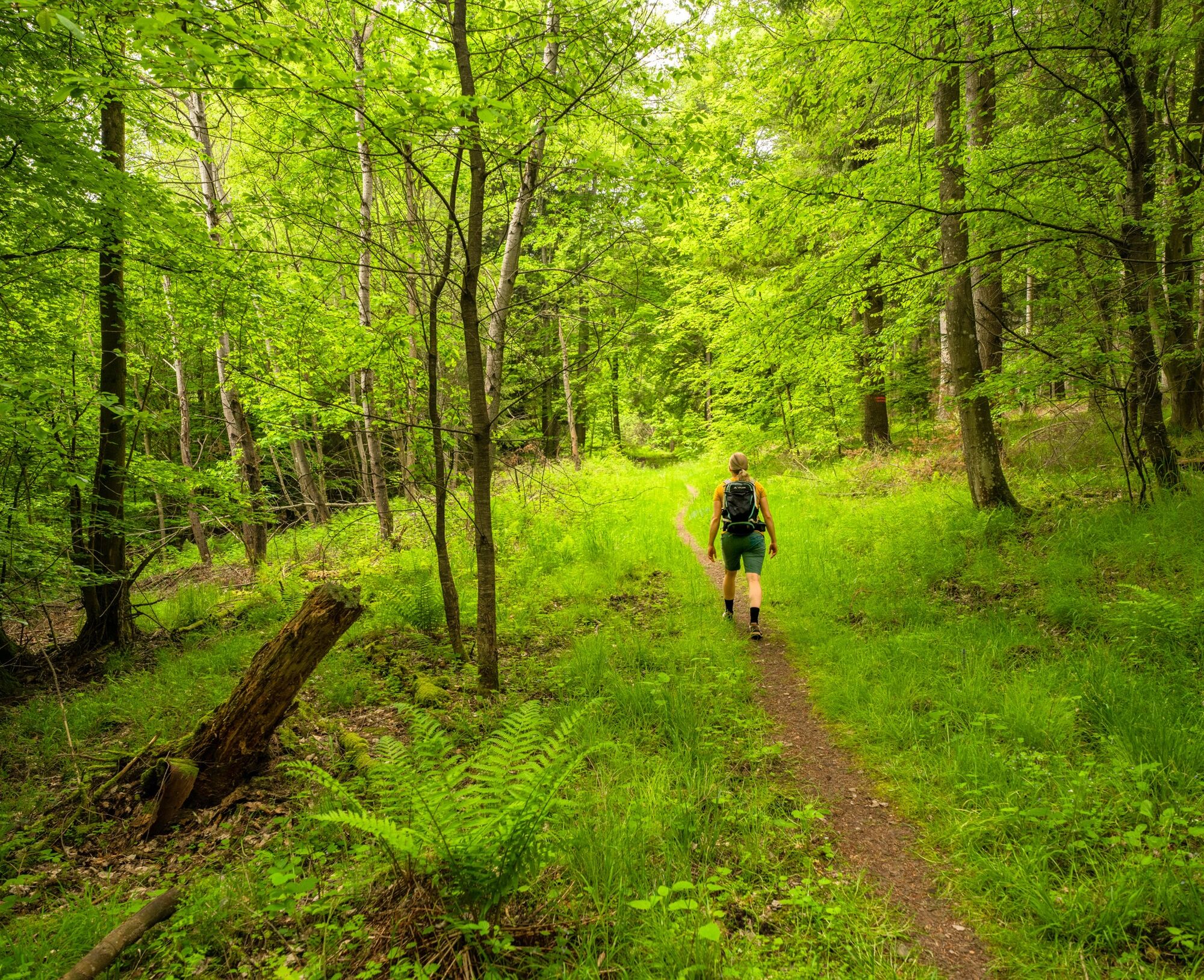
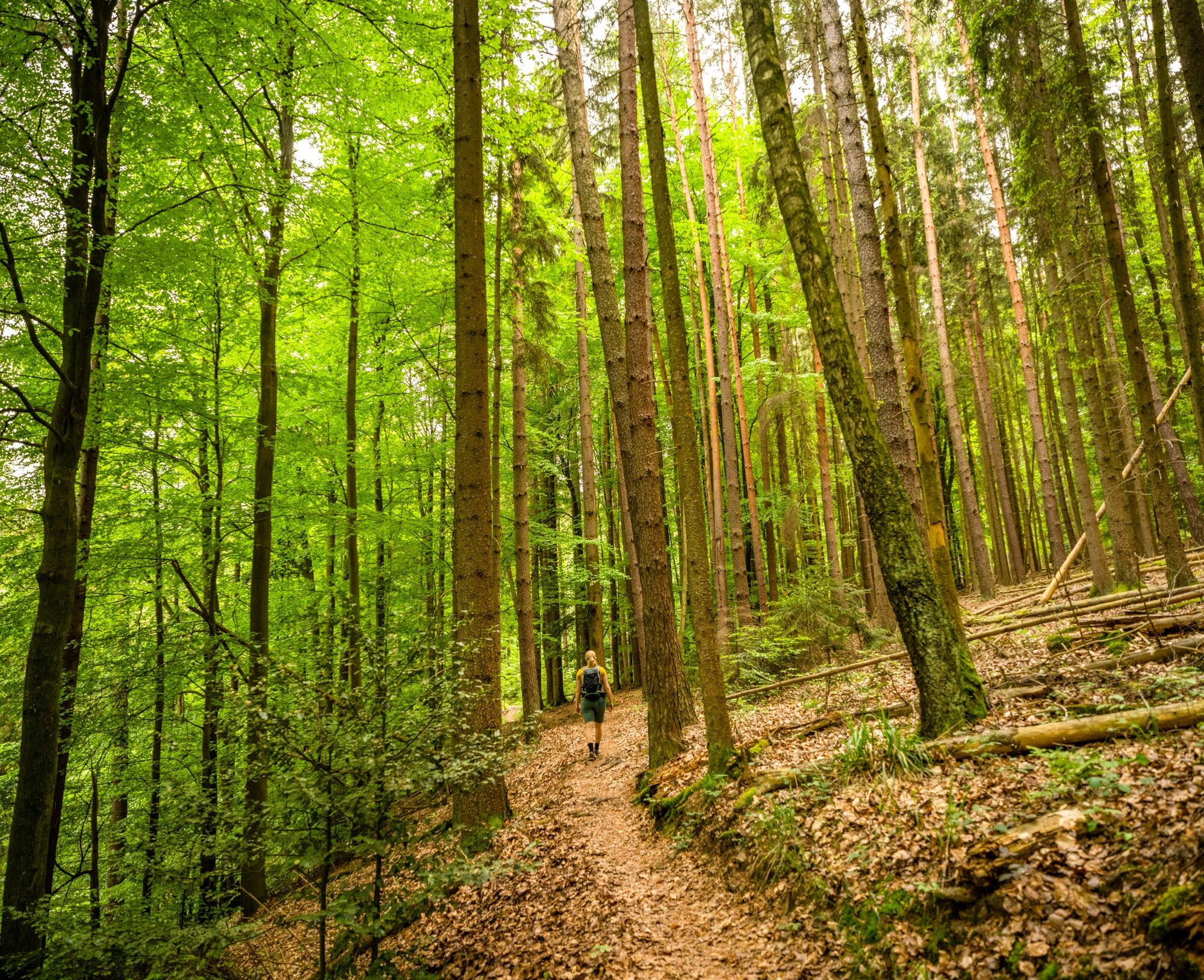
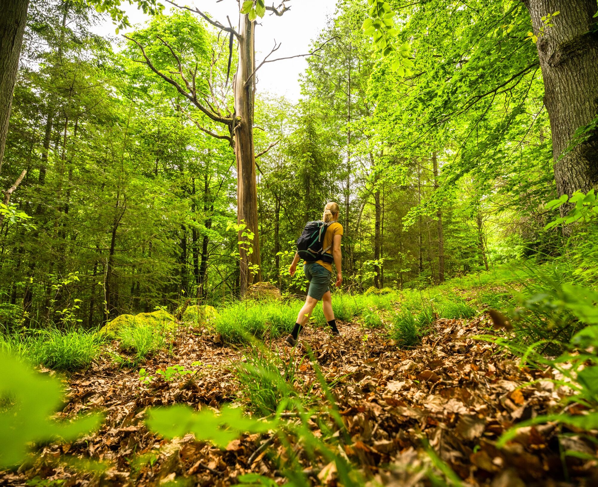
The hike begins directly along the Nagold River and leads through the charming village of Unterreichenbach. Shortly after, you enter the forest. Here, the typical Black Forest shows its other side with silver firs, spruces, and pines. The path is lined with deciduous trees that shine in bright green during summer and provide a pleasant coolness.
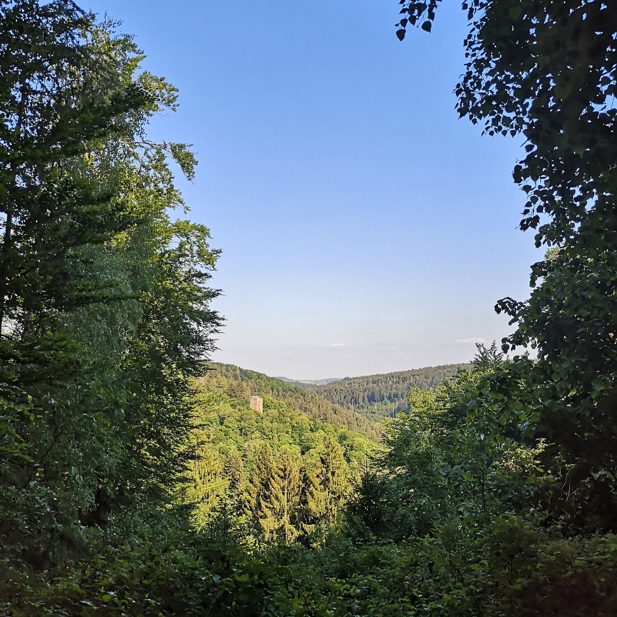
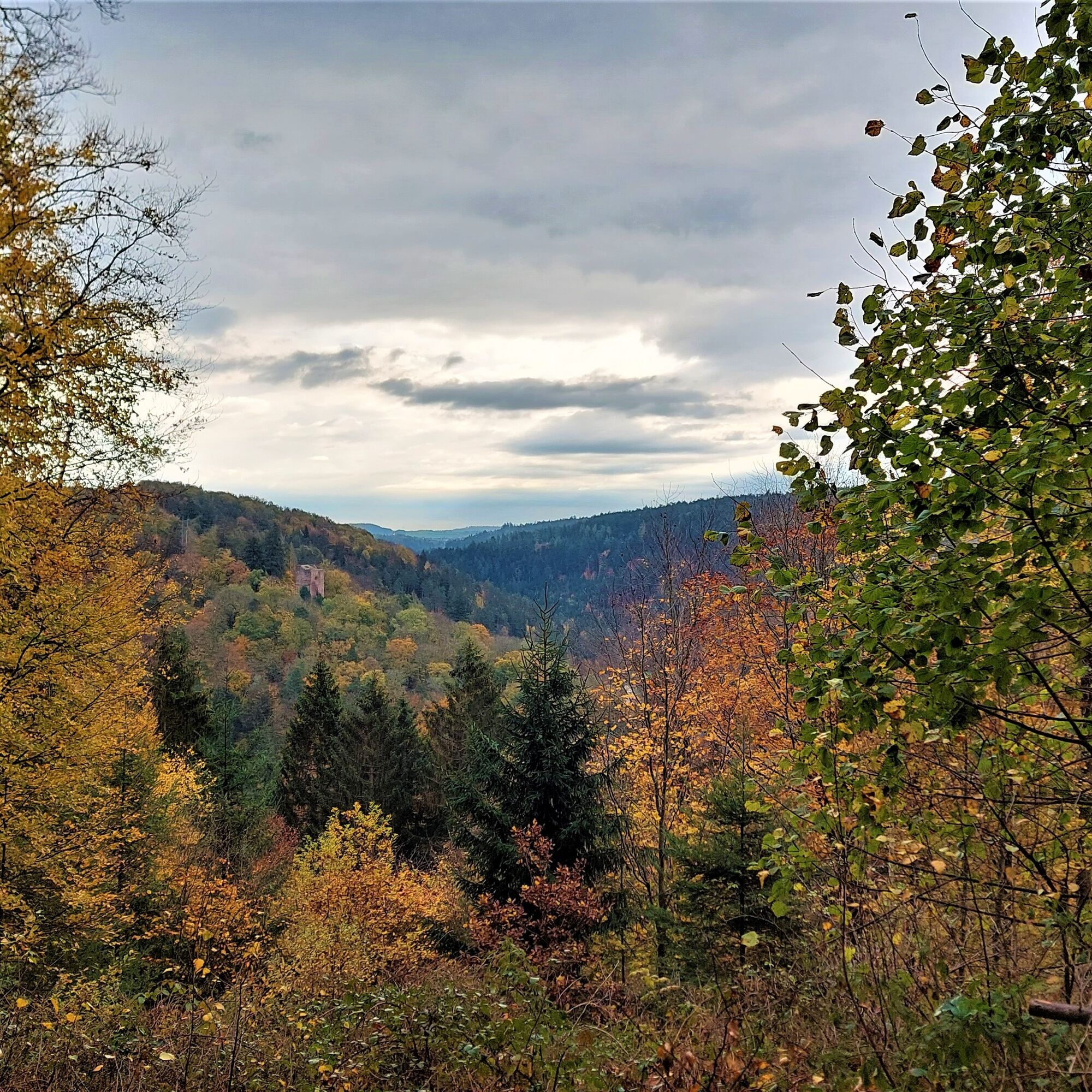
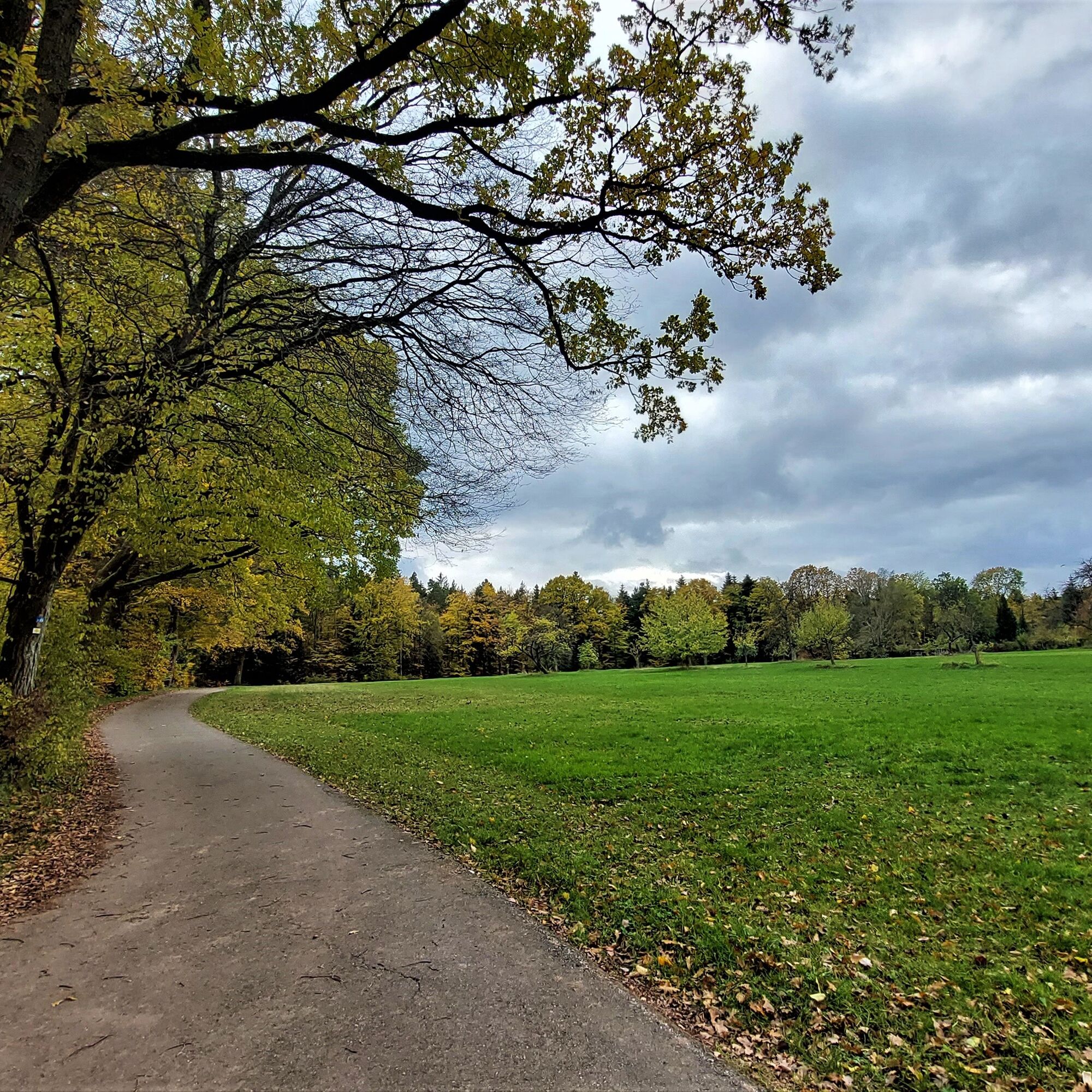
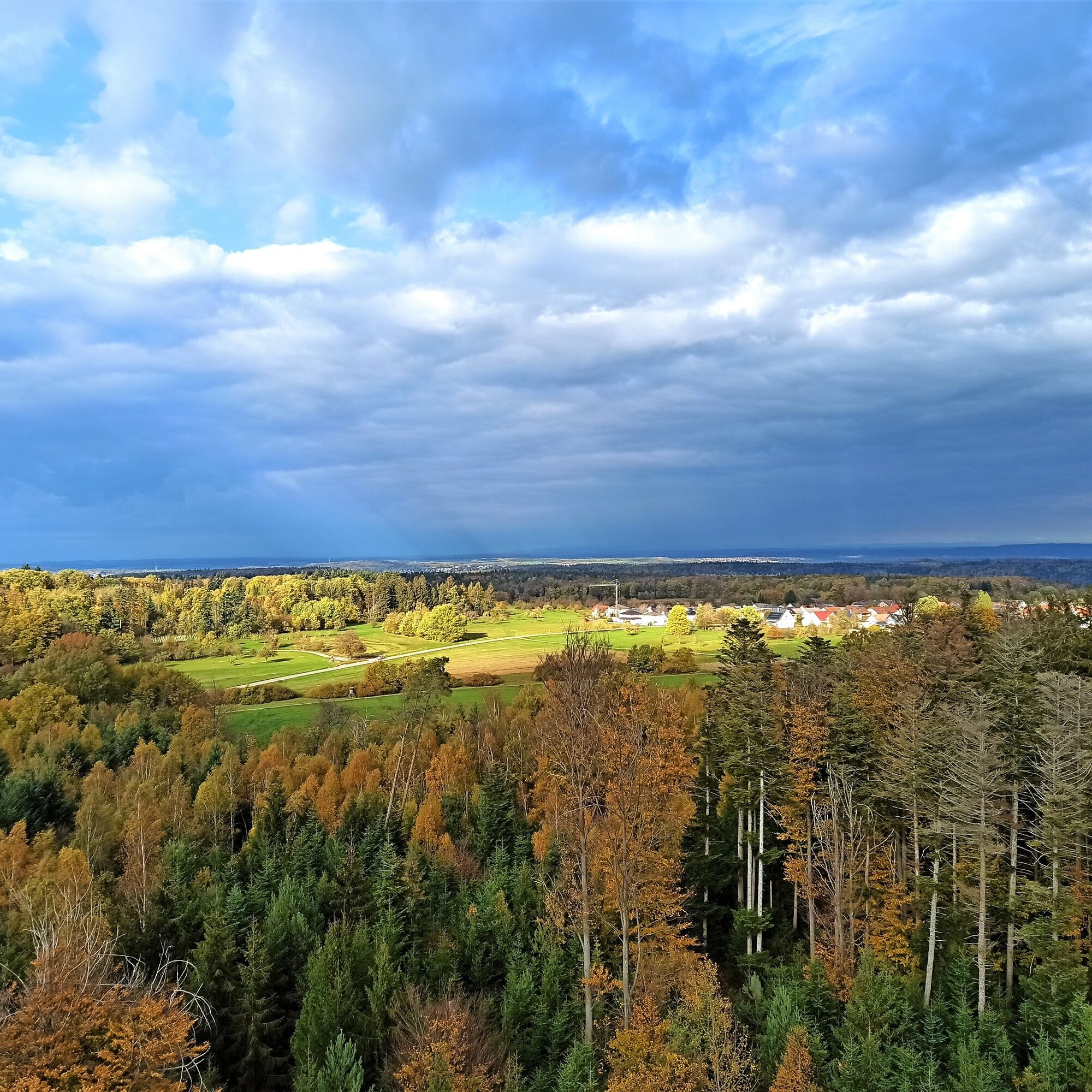
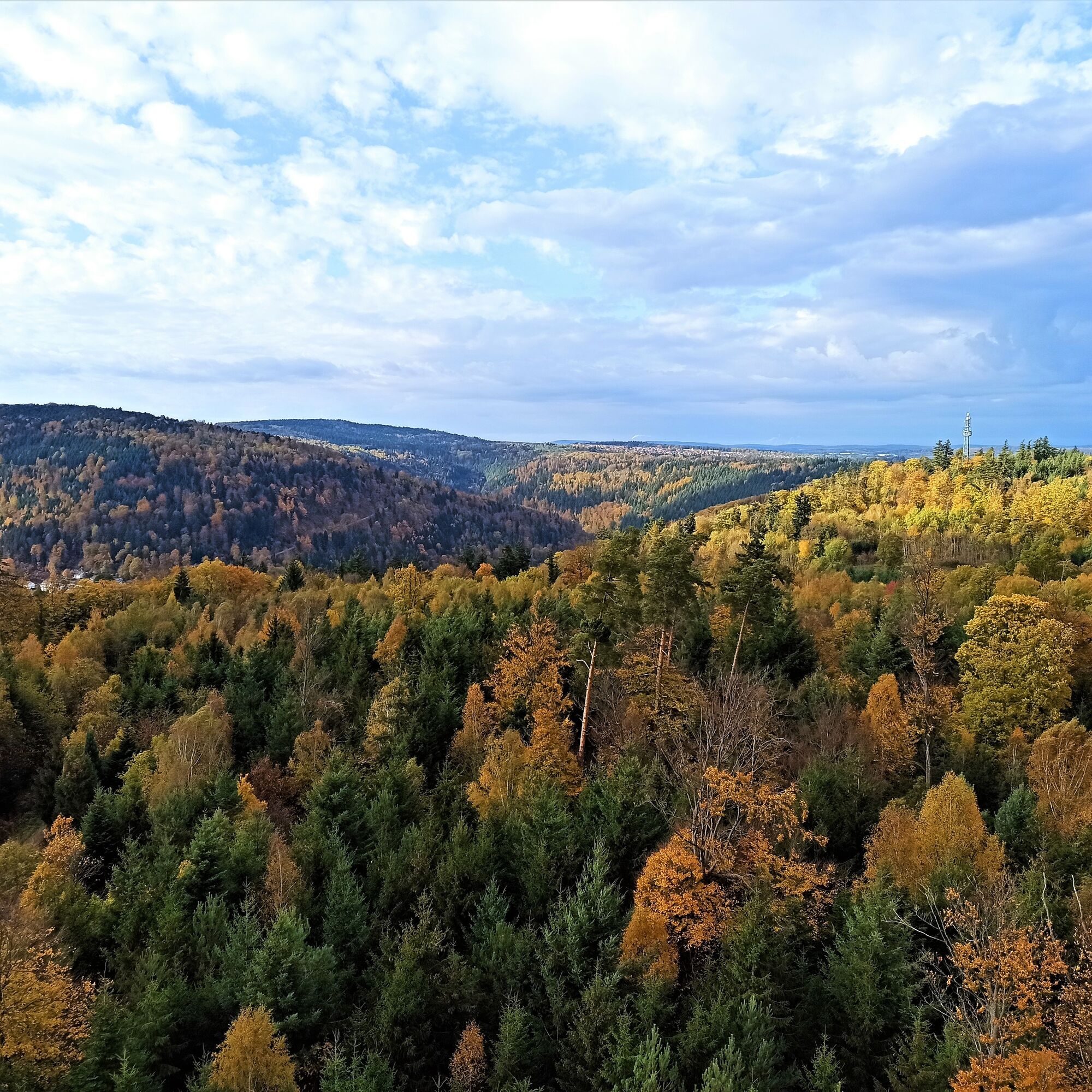
While the first section mostly takes place on forest roads, at the height you reach an idyllic path, offering frequent views into the Würm Valley and to the Liebeneck castle ruins. Magnificent beeches and boundary stones of the former demarcation between Hohenwart and Hamberg line the path and testify to the region's history.
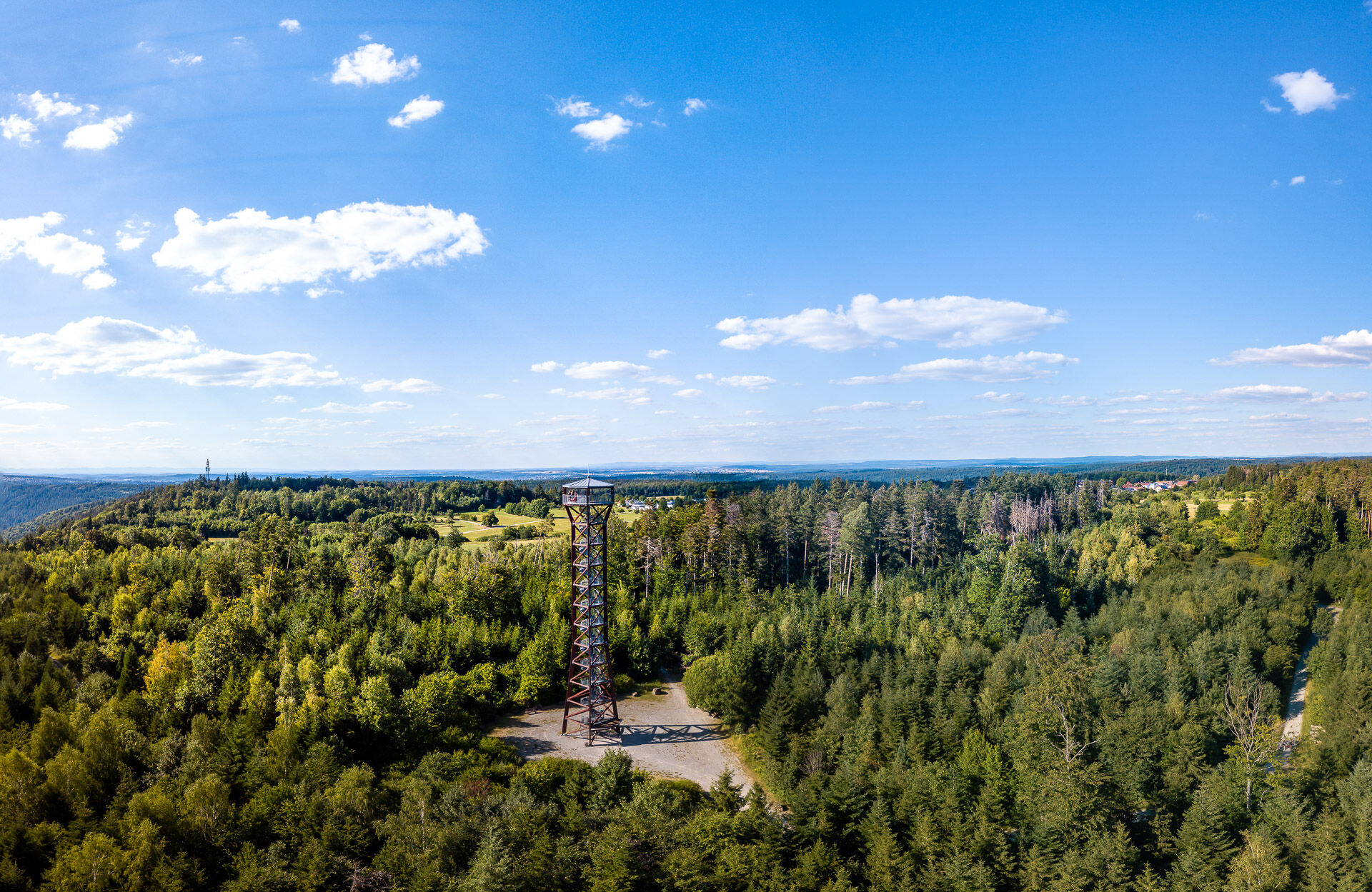
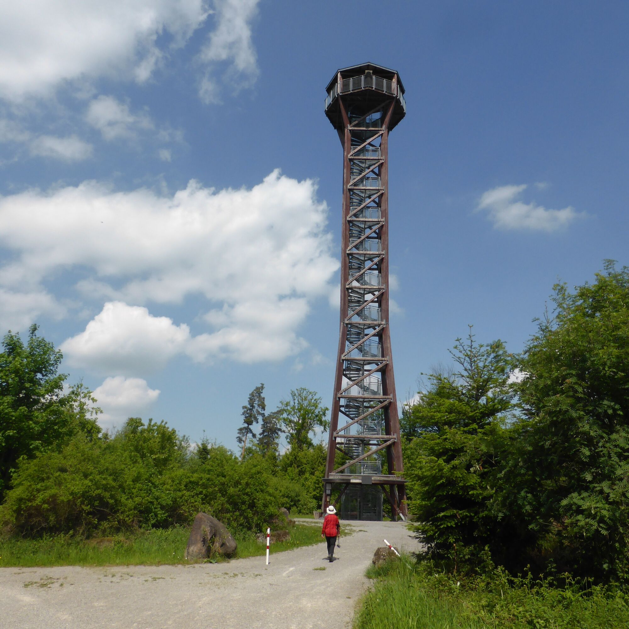
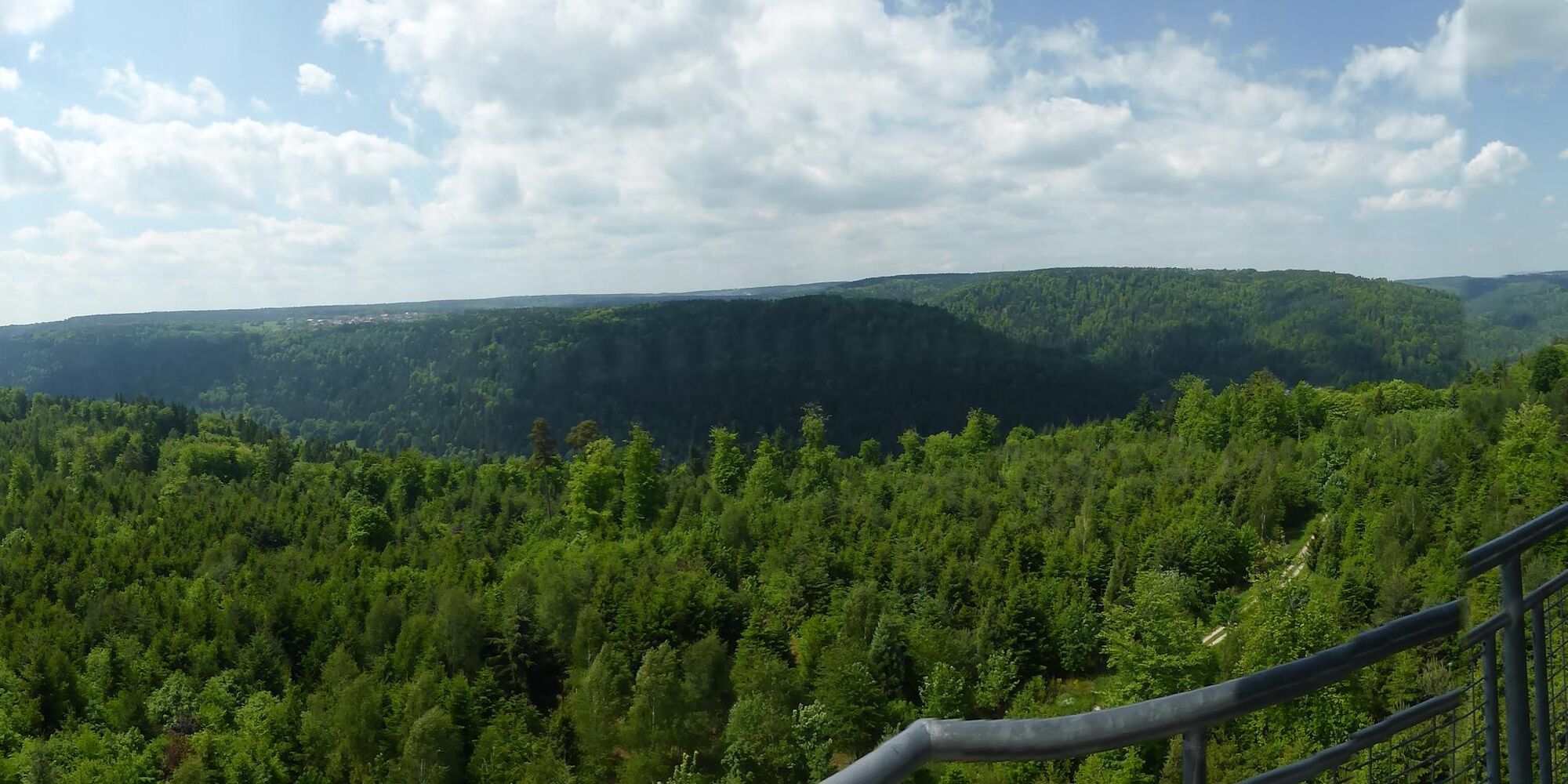
The highlight of the route is undoubtedly the Hohe Warte observation tower. The climb is worth it because from the top you get a 360-degree panoramic view of the Nagold Valley and the peaks of the Northern Black Forest. After Unterreichenbach, the path continues over a rooty trail.
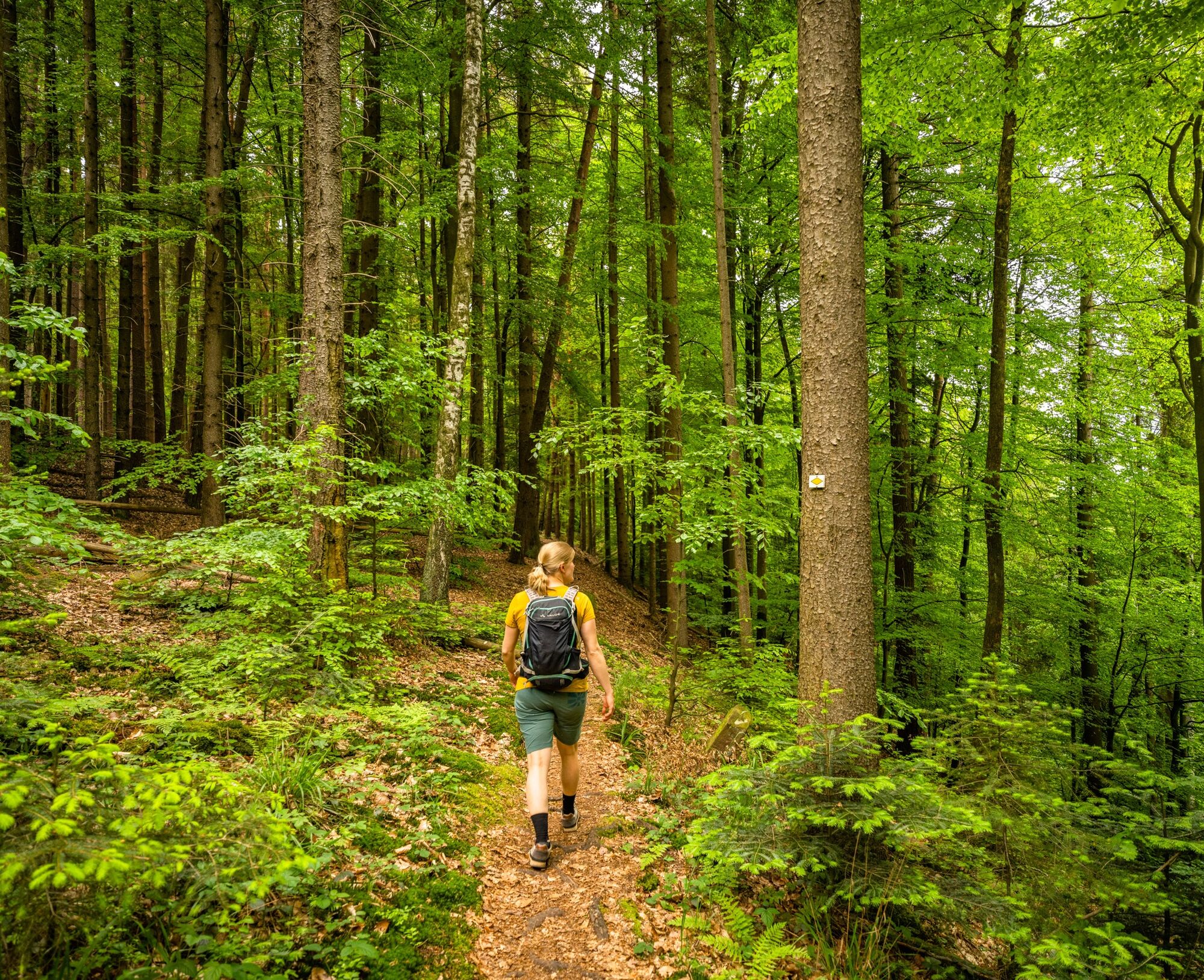
The route follows the marked hiking trail network of the Black Forest Club. The diamonds lead from waypoint to waypoint along the way.
WWS Ochsenbrücke - WWS Unterreichenbach gym - WWS Unterreichenbach train station - WWS Unterreichenbach underpass - WWS Unterreichenbach bathing place bridge - towards WWS Sohlberg (gravel path only crossed and then continue straight on the path; cross the small bridge and follow the natural path until you reach the diamond again at the Brennterbergweg; continue straight on the yellow diamond) - WWS water reservoir - WWS Breitenwald - WWS Dreimarkstein - WWS Wildmauer - WWS Wiesenklinge - WWS Ihmesklinge - WWS Bildstöckle - WWS Hofäcker - WWS Hohe Warte - WWS Klebwald - WWS Kleb - WWS Ofenklinge - WWS railway crossing - WWS Ochsenbrücke
Hiking shoes, provisions, (digital) maps, sun or rain protection
B463 from Pforzheim/Bad Liebenzell/Calw/Nagold
Cultured train between Pforzheim/Bad Liebenzell/Calw/Nagold/Horb
Route passes directly by the train station
Parking lot at the Ochsenbrücke
Parking lot at the train station
Tourism GmbH Northern Black Forest
Sonnenweg 5
75378 Bad Liebenzell
07052-8169770
On the direct hiking route there is no opportunity to stop for refreshments – therefore, a packed snack and enough drinks are recommended!
Popularne wycieczki w okolicy
- 4,7
Hiking through the Monbach Gorge in search of the kingfisher
średniWędrówka 10,5 km - 5,0
Wild romantic Monbach Valley
światłoWędrówka 6,25 km - 4,7
Through the wild romantic Schweinbachtal to the Bruderhöhle cave
średniWędrówka 13,8 km - 4,0
Wolfsschlucht and Fox Gorge
średniWędrówka 9,74 km - 5,0
Water, Woods and Meadowtrail / Zavelstein > Calw (Premium trail & Genussweg)
ciężkiWędrówka 14,4 km - 5,0
From Bieselsberg into the wild Monbach valley - dream route on small paths
ciężkiWędrówka 18,0 km - 4,0
Through the Lengenbach valley to the historic Burg Liebenzell
średniWędrówka 10,9 km - 5,0
From Altburg over scenic heights to Zavelstein
średniWędrówka 10,6 km - 5,0
Circular route Hirsau - Oberreichenbach - Schweinbachtal - Hirsau
średniWędrówka 10,2 km Healing Climate Hiking Trail No. 6 Schömberg
średniWędrówka 9,71 km
Wędrówki i tropienie


Nie przegap ofert i inspiracji na następne wakacje
Twój adres e-mail została dodana do listy mailingowej.