







Healing Climate Hiking Trail No. 6 Schömberg

Starting point Bühlhof – Schleifweg – Hengstberghalde – Charlottenhöhe – Reutterhütte – Bühlhof
Requirements due to the path: medium Requirements due to the climate: low
...Starting point Bühlhof – Schleifweg – Hengstberghalde – Charlottenhöhe – Reutterhütte – Bühlhof
Requirements due to the path: medium Requirements due to the climate: low
Generally slight, occasionally moderate and steep inclines. Average energy consumption for 75 kg body weight: approx. 560 kcal.
Throughout the route, subdued climatic stimuli under the protection of the forest. Rarely heat stress in summer, increased cold stimulus in winter.
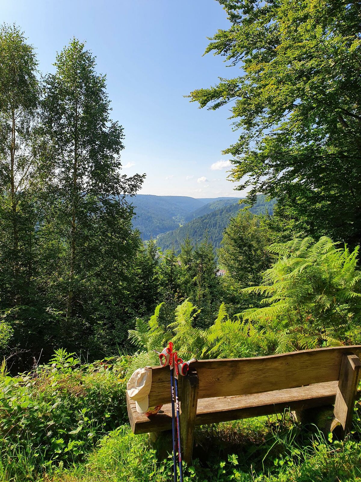
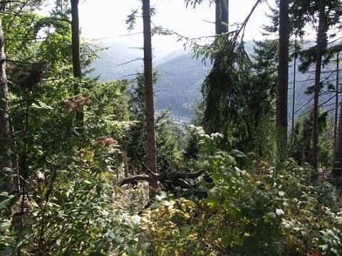
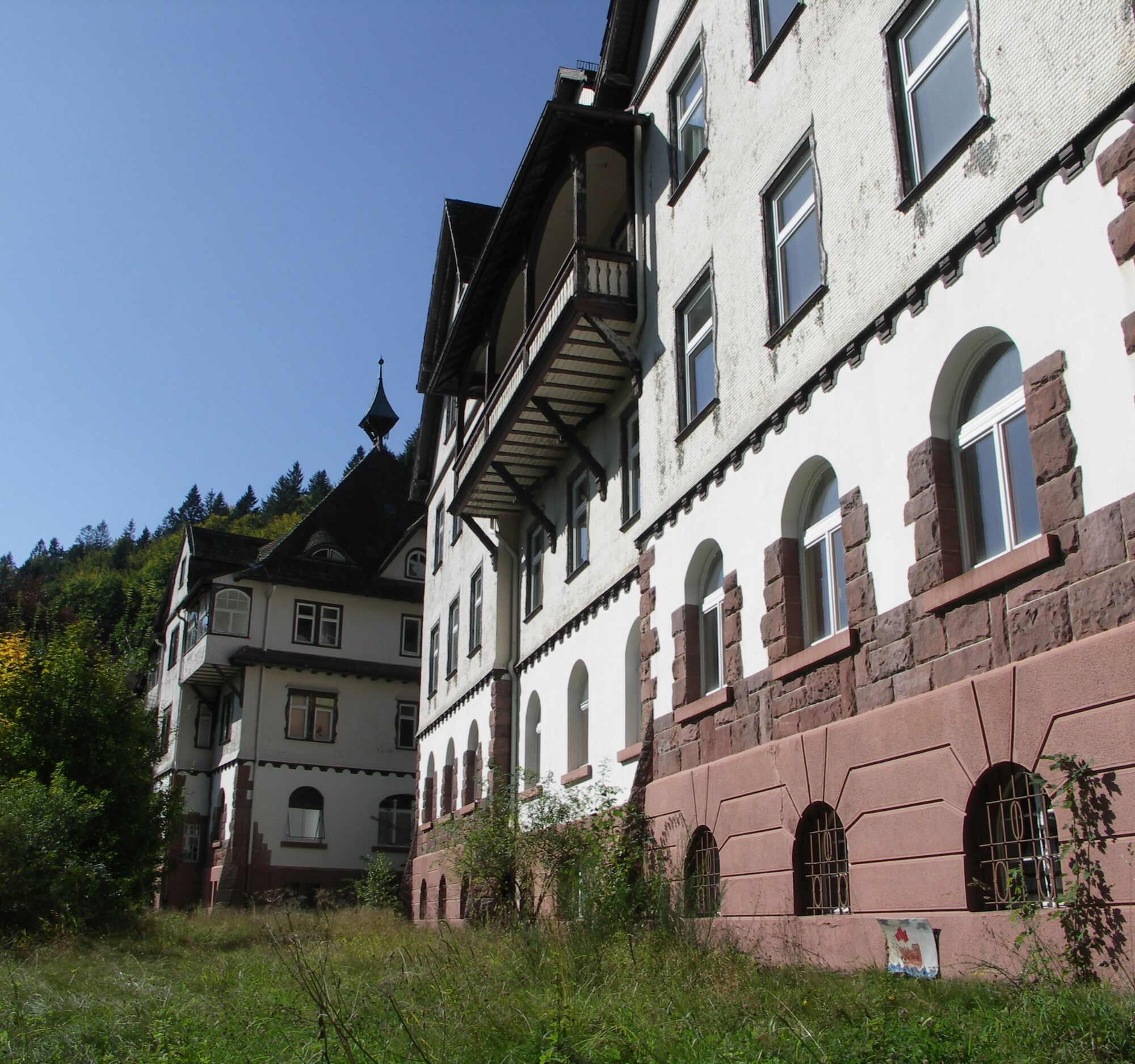
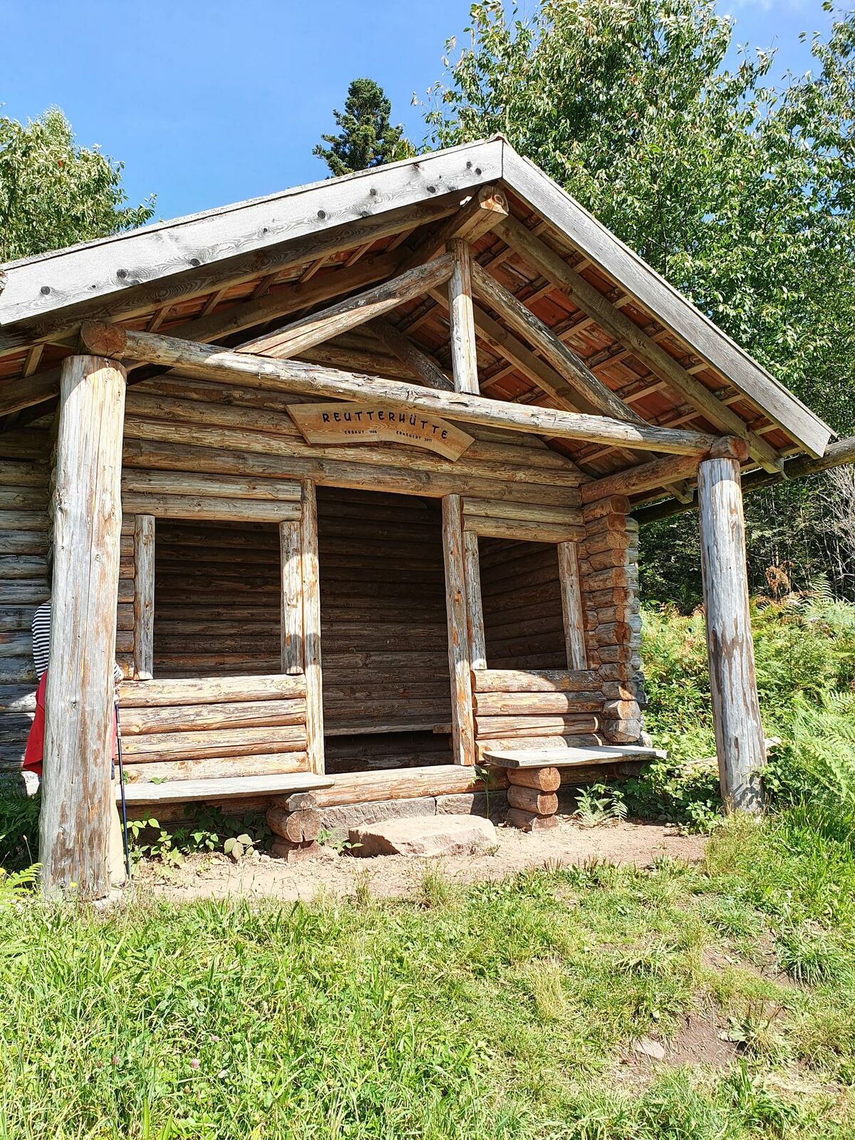
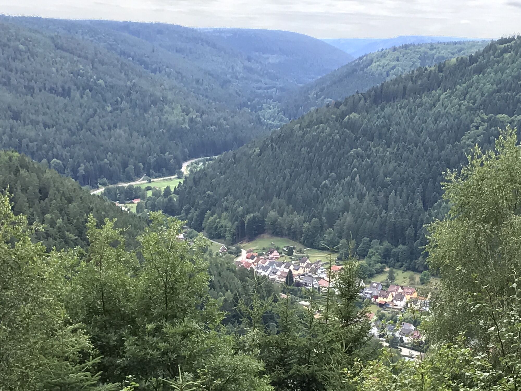
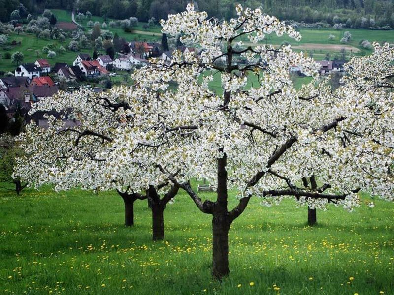

From our starting point at the Bühlhof, the Schleifweg leads us through the Northern/Central Black Forest Nature Park. Shortly before the end of the Schleifweg, we turn left and walk along a small path through the forest towards the southeast, passing the Hengstberghalde. We pass the tornado clearing from 1986 with a memorial stone and enjoy a magnificent view of the Enz Valley. We follow this path until, after a long left curve, we reach a fork in the path. Here we bear diagonally right and arrive at the Charlottenhöhe, a former lung sanatorium. We walk through the small settlement and at the second fork, we turn left. Our path makes a left curve; we leave the village and continue on this route until we reach a road. We follow this road leftwards through the forest. After a long left curve, we reach another fork. We leave the road and bear diagonally right. We come upon Hausackerstraße, which we turn right onto, then leave it on the left side after a right curve. Always straight ahead, we return to our starting point.
Sturdy shoes and weather-appropriate clothing. Snacks and drinks, as there are no catering opportunities along the route. Possibly a towel for the natural Kneipp facility at Luchsbrunnen.
The grounds and buildings of the former Charlottenhöhe sanatorium must not be entered. Danger of collapse!
From the north: via the A8 from Karlsruhe towards Stuttgart, exit Pforzheim West, pass through Büchenbronn and Salmbach to Schömberg.
From the east: A8 Stuttgart towards Karlsruhe, exit Renningen. Drive on L295 to Weil der Stadt. Continue via Bad Liebenzell to Schömberg.
From the south: A81 from Singen towards Stuttgart, take exit Herrenberg and continue on L296 via Deckenpfronn and Calw to Hirsau. Continue on L463 to Bad Liebenzell. In the town center, turn left to Schömberg.
Destination address: Bühlhof (alternative: Calmbacher Str.), 75328 Schömberg (at the end of the street, free hiking parking lot at the forest entrance)
By train to Bad Liebenzell (Nagold Valley) or Höfen (Enz Valley). From there, there are bus connections to Schömberg. It is about a 15-minute walk from the town hall to the start at the Bühlhof.
Line 820 from Bad Liebenzell / Schömberg / Höfen
Line 725 from Neuenbürg / Waldrennach
Line 743 from Pforzheim / Engelsbrand / Schömberg / Bieselsberg
At the Bühlhof hiking parking lot.
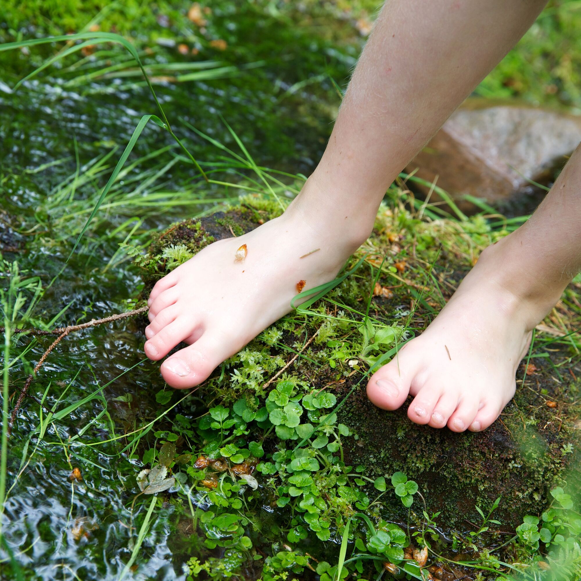
After the forester's house, a detour to the wildlife enclosure is possible. At the Luchsbrunnen, a detour to the natural Kneipp facility is worthwhile. Here you can refresh your feet before the ascent.
Kamery internetowe z trasy

Popularne wycieczki w okolicy
-
4,8
Eyach round
średniWędrówka 7,84 km -
5,0
Circular route via spring nature trail and Wurstberg
światłoWędrówka 8,08 km -
4,9
Der Teinacher (Premiumweg & Genießerpfad)
średniWędrówka 12,0 km -
4,2
Kaltenbronn Circular Route No. 1 - Wildsee Moor Loop
światłoWędrówka 8,30 km -
4,0
Wolfsschlucht and Fox Gorge
średniWędrówka 9,74 km -
4,7
Through the wild romantic Schweinbachtal to the Bruderhöhle cave
średniWędrówka 13,8 km -
3,0
Dobel High-Altitude Route
średniWędrówka 11,8 km -
5,0
Water, Woods and Meadowtrail / Zavelstein > Calw (Premium trail & Genussweg)
ciężkiWędrówka 14,4 km -
4,3
Nature experience tour Kaltenbronn
średniWędrówka 14,2 km -
AugenBlick route Bad Herrenalb Schweizerkopf
średniWędrówka 15,5 km
Wędrówki i tropienie


Nie przegap ofert i inspiracji na następne wakacje
Twój adres e-mail została dodana do listy mailingowej.





