


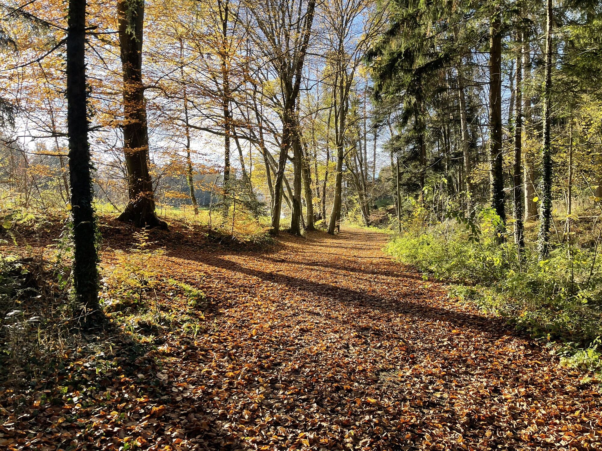
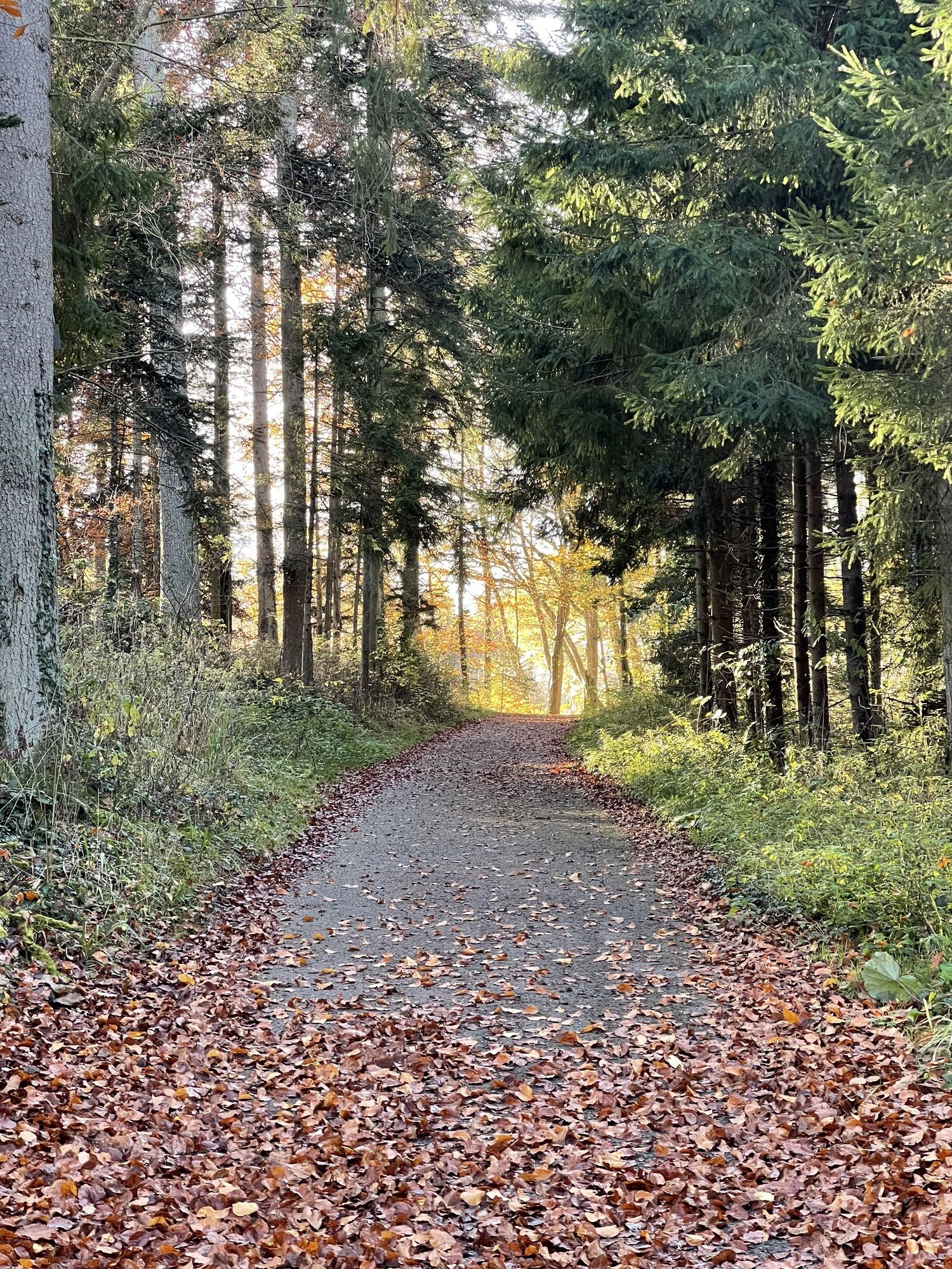
Anniversary hike "50 years Calw district" - Stage 1 - From Hirsau to the Monbach Valley
Places to eat and drink:
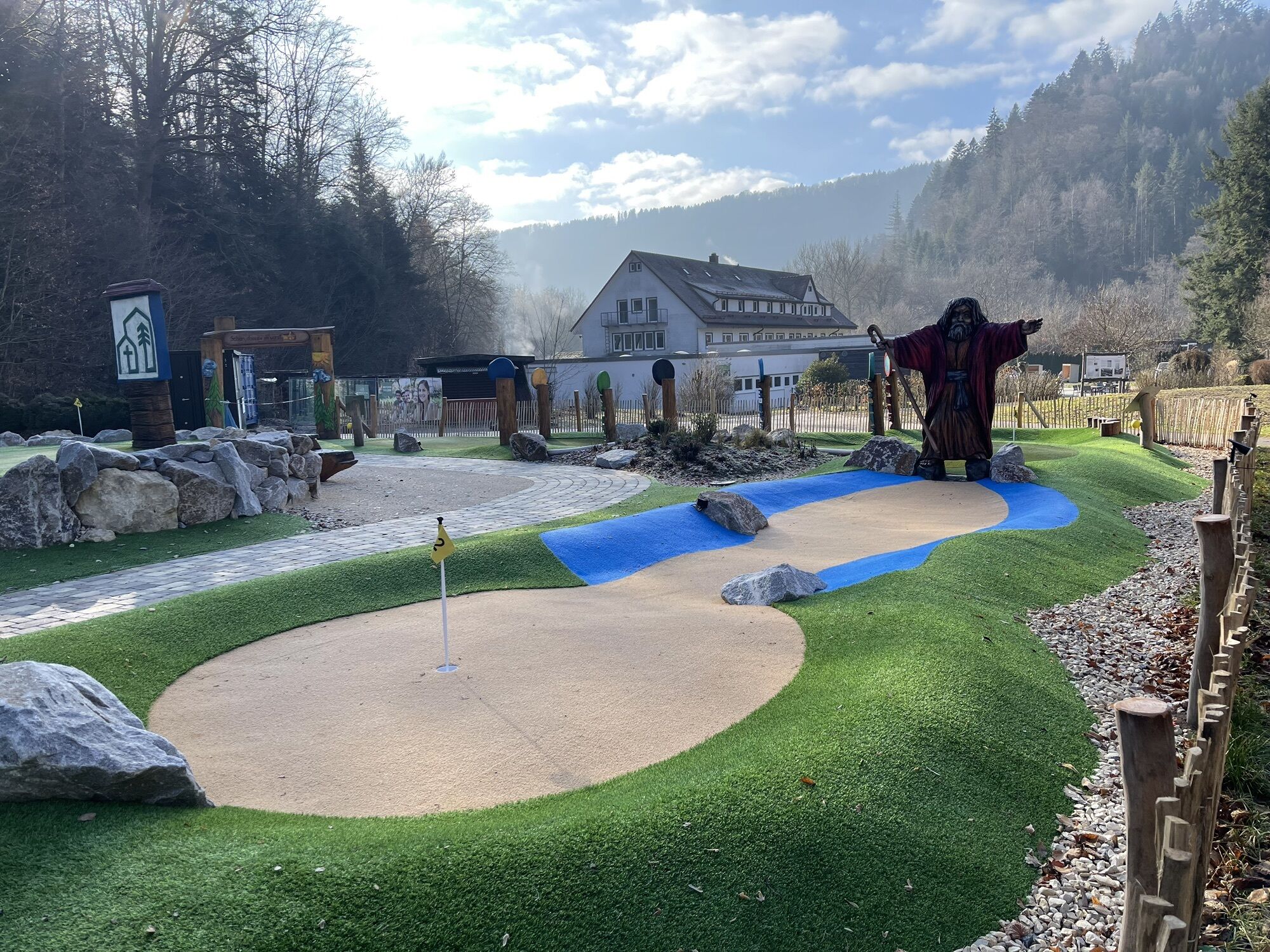
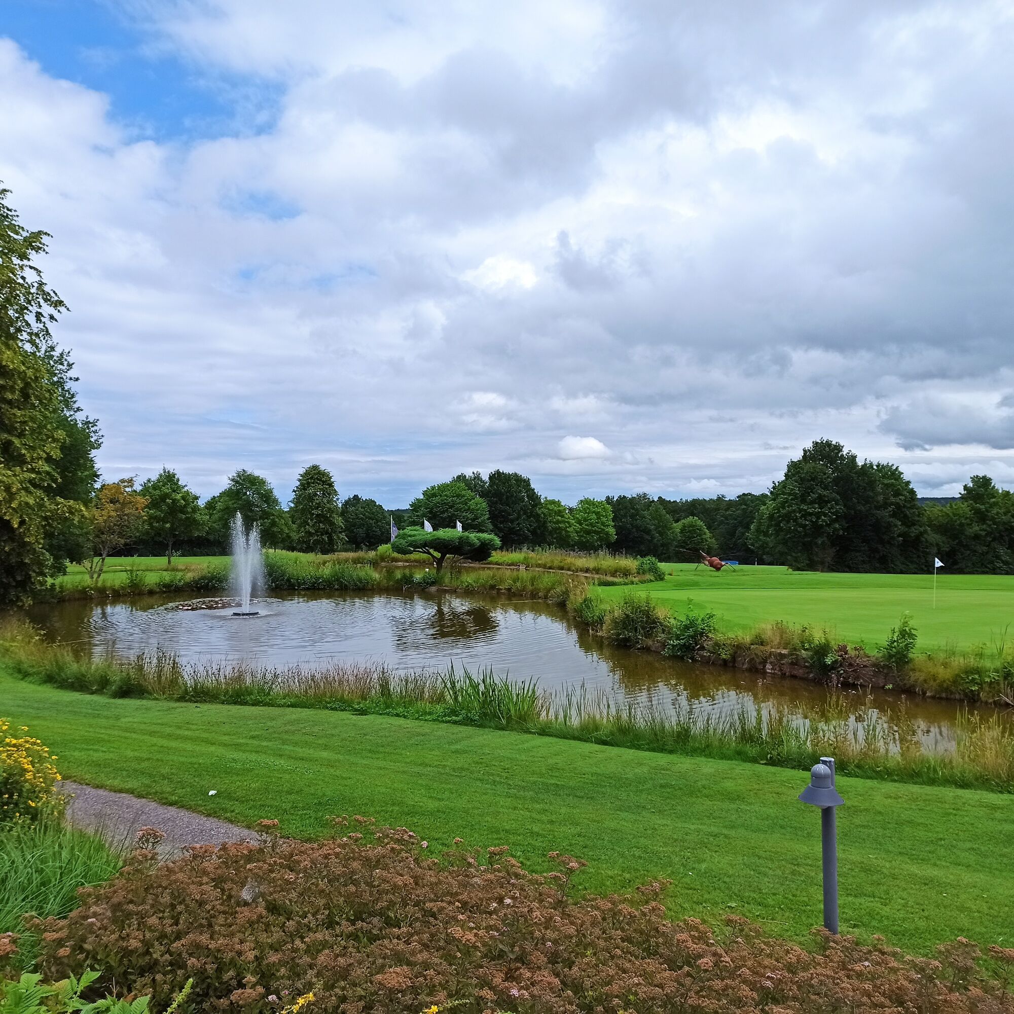
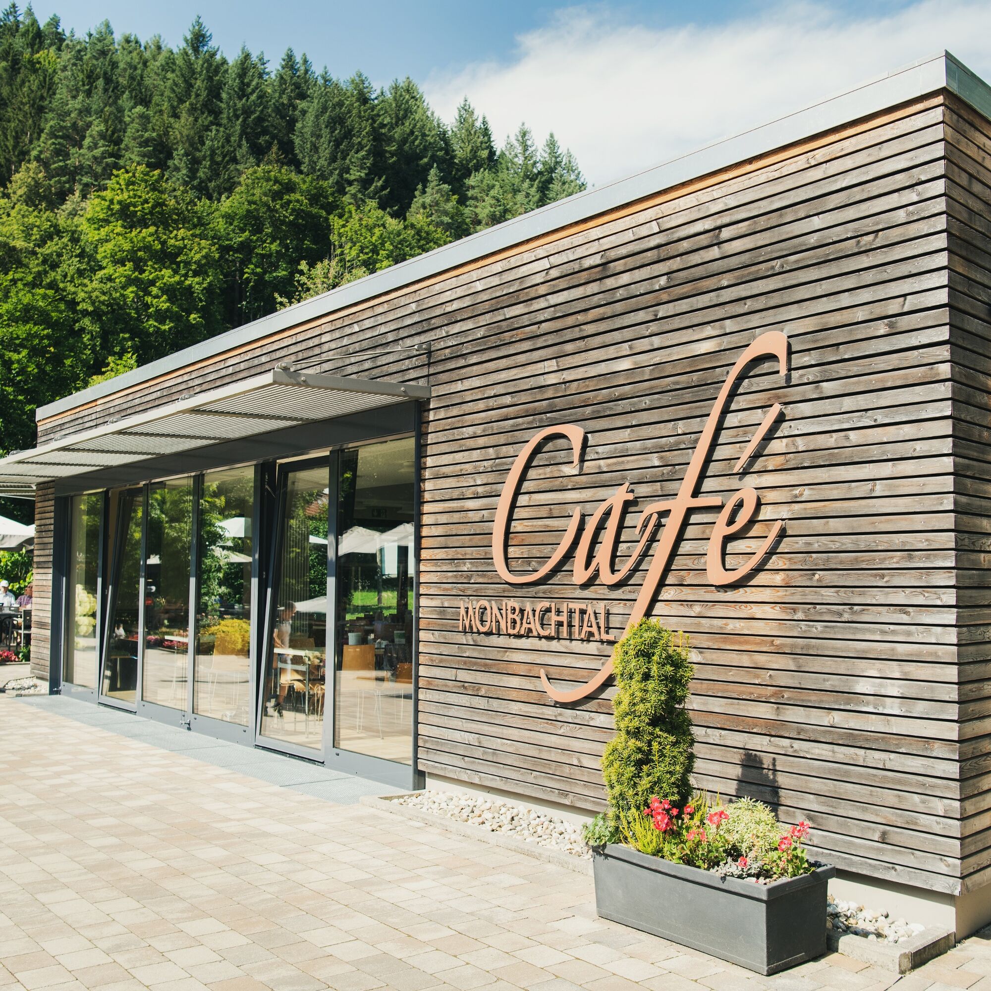
Café Gugelhupf in Hirsau Café im Kloster in Hirsau Restaurant at the golf course in Unterhaugstett Café MonbachtalPlaces to eat and drink:
Café Gugelhupf in Hirsau Café im Kloster in Hirsau Restaurant at the golf course in Unterhaugstett Café Monbachtal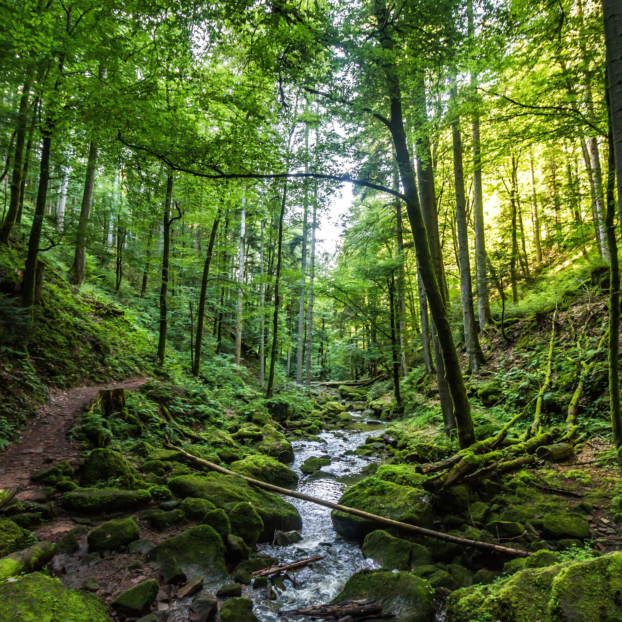

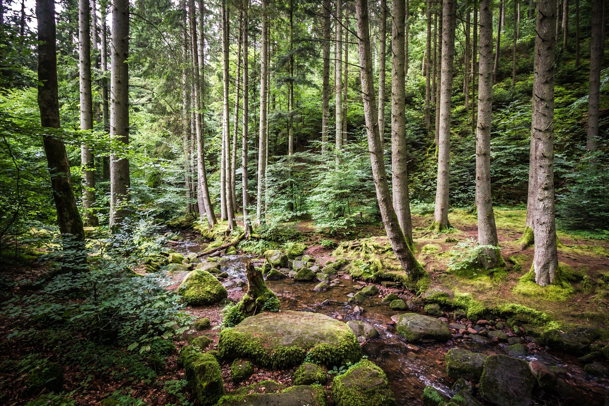
The hiking routes run almost exclusively on the marked trail network of the Black Forest Club. Follow the signposts and diamonds!
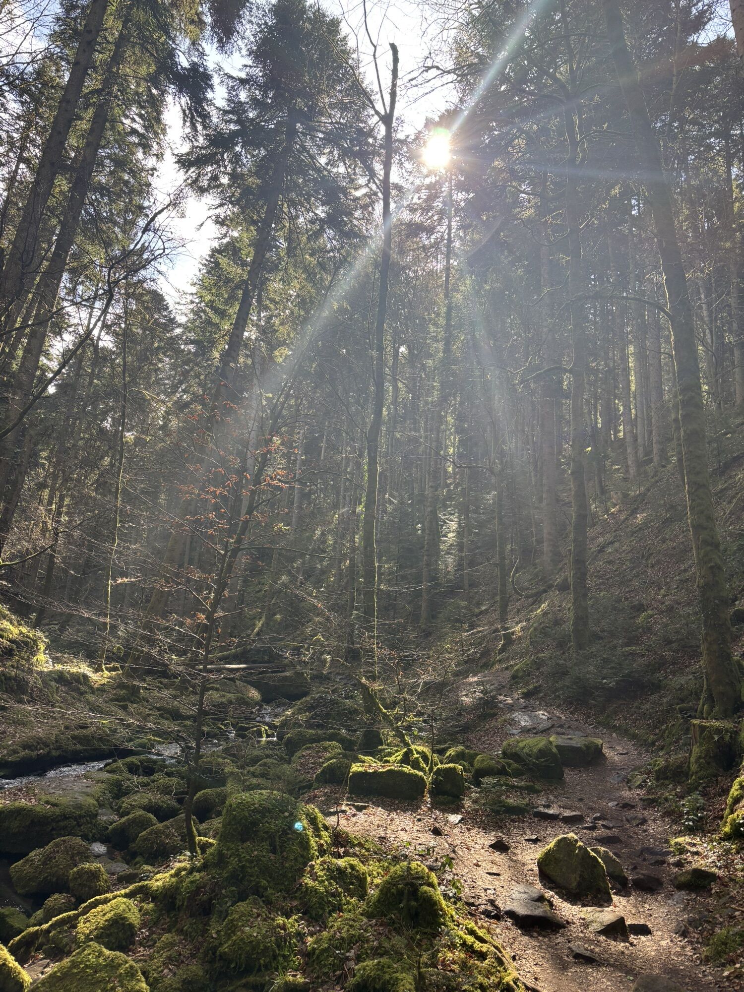
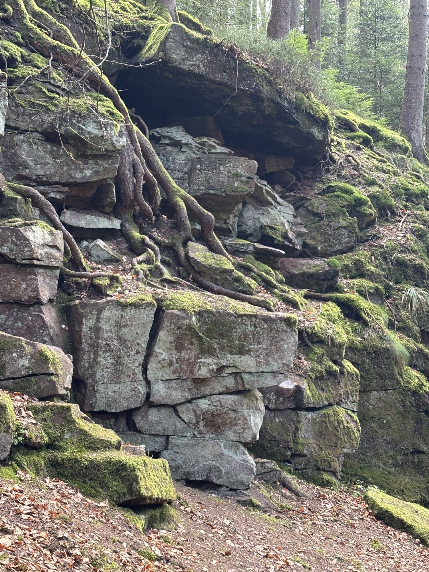
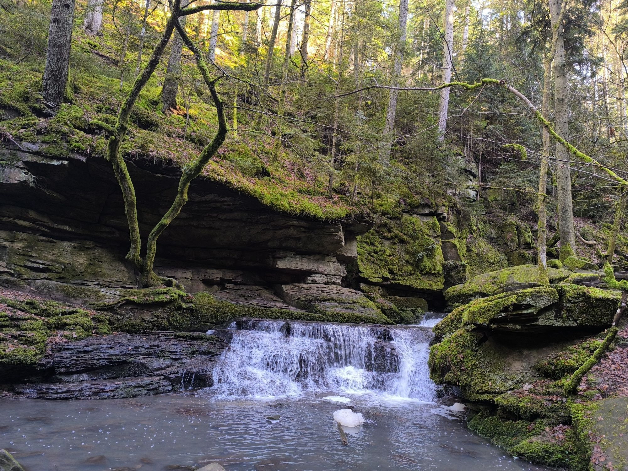
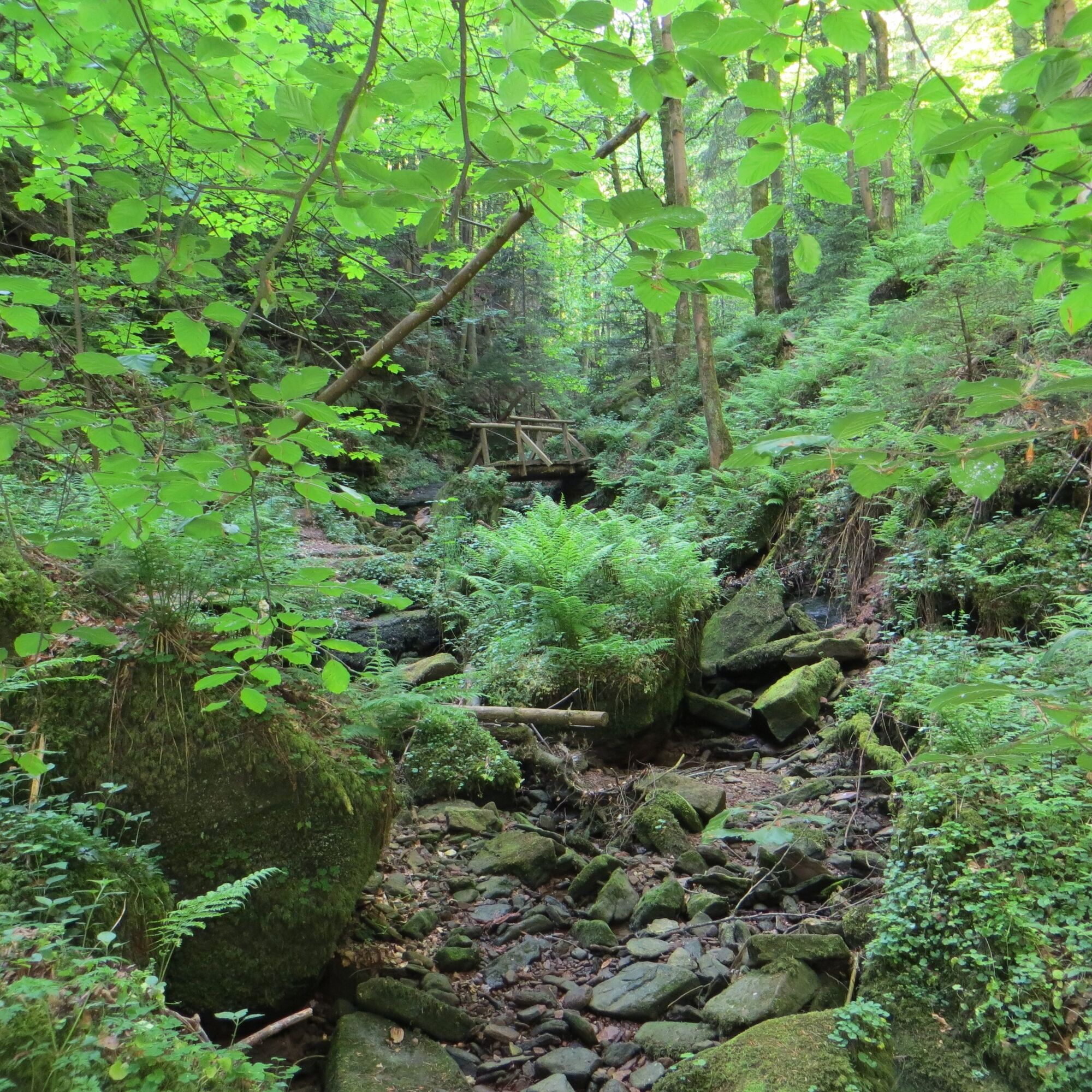
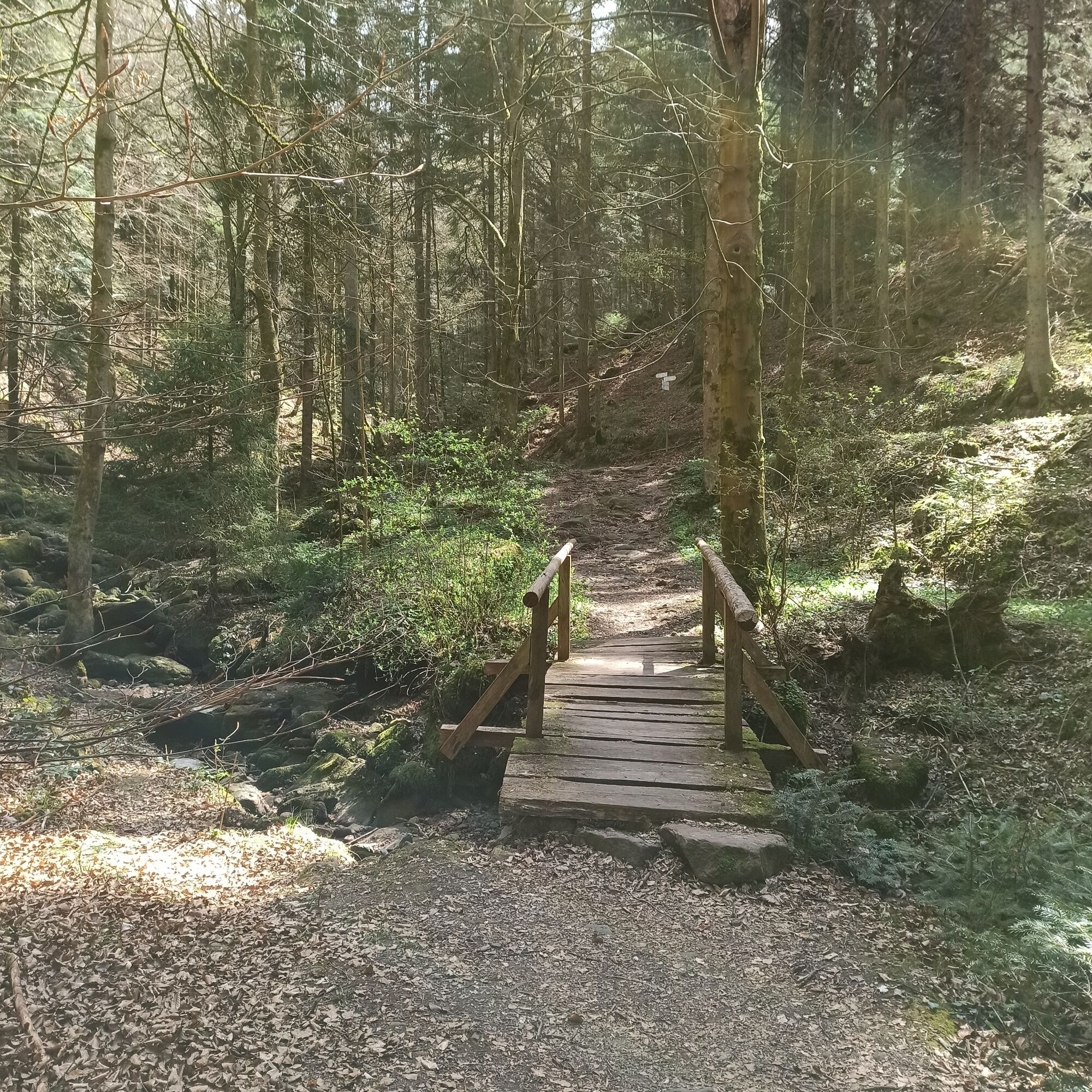
Hirsau train station - WWS Hirsau Kurwald - WWS Überzwercher Way - WWS Wolf Gorge - WWS Ernstmühl Hill - WWS Hummelberg Height - WWS Dietersbach Slope - WWS Badger's Lodge - WWS At the Water Tower - WWS Unterhaugstett Weckart Houses - WWS Unterhaugstett Christ Church - WWS Unterhaugstett Kindergarten - WWS Unterhaugstett School - Restaurant at the golf course - WWS Klingenwald - WWS Pumping Station Monakam - WWS Monbach Bridge - Café Monbach Valley - WWS Monbach Settlement - Monbach-Neuhausen train station
Tak
Sturdy and broken-in footwear, (digital) maps, stamp booklet, provisions, possibly hiking poles, rainproof clothing
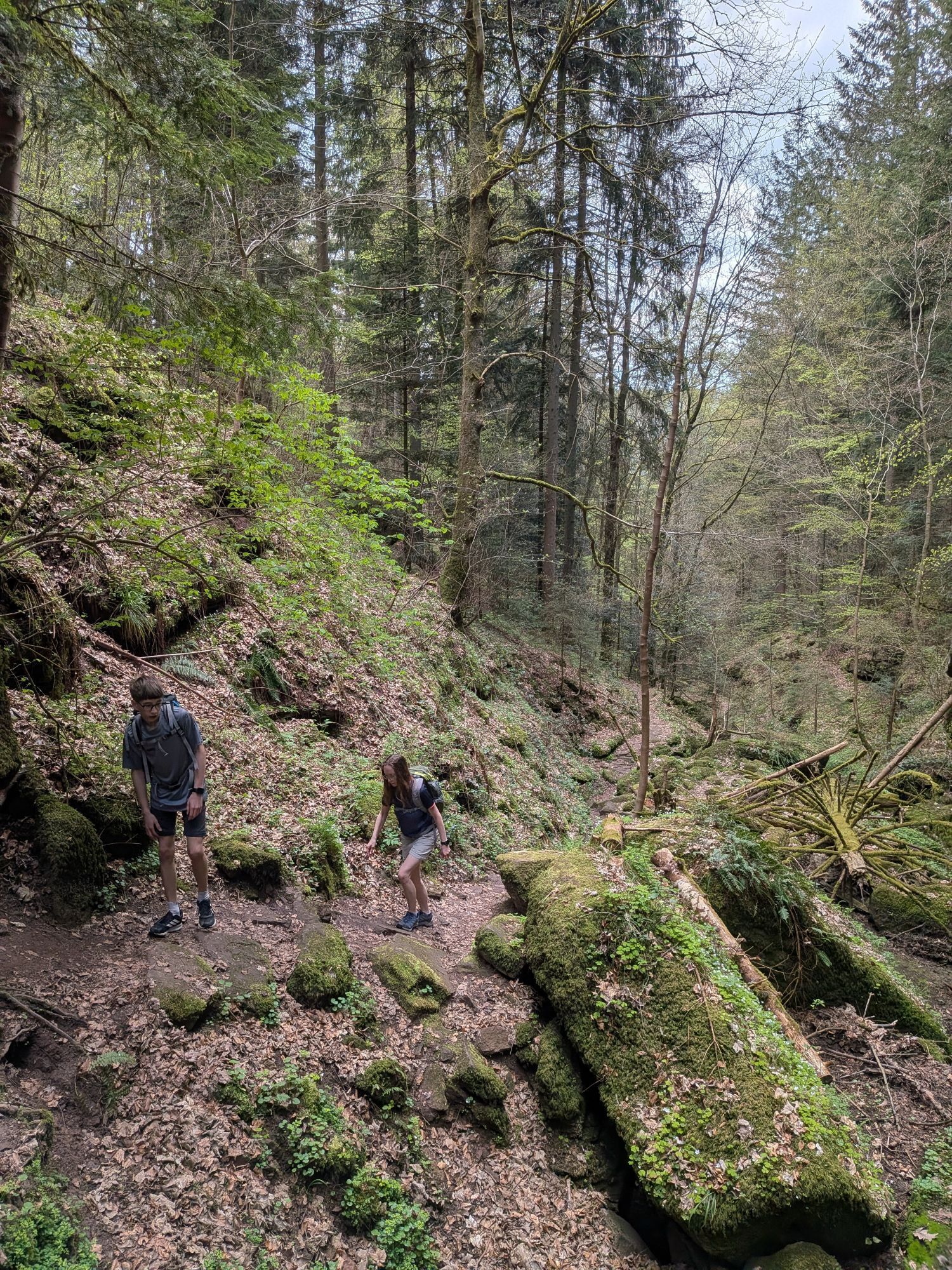
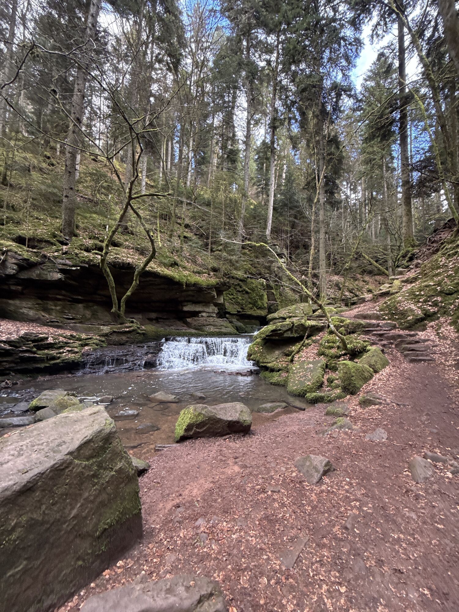
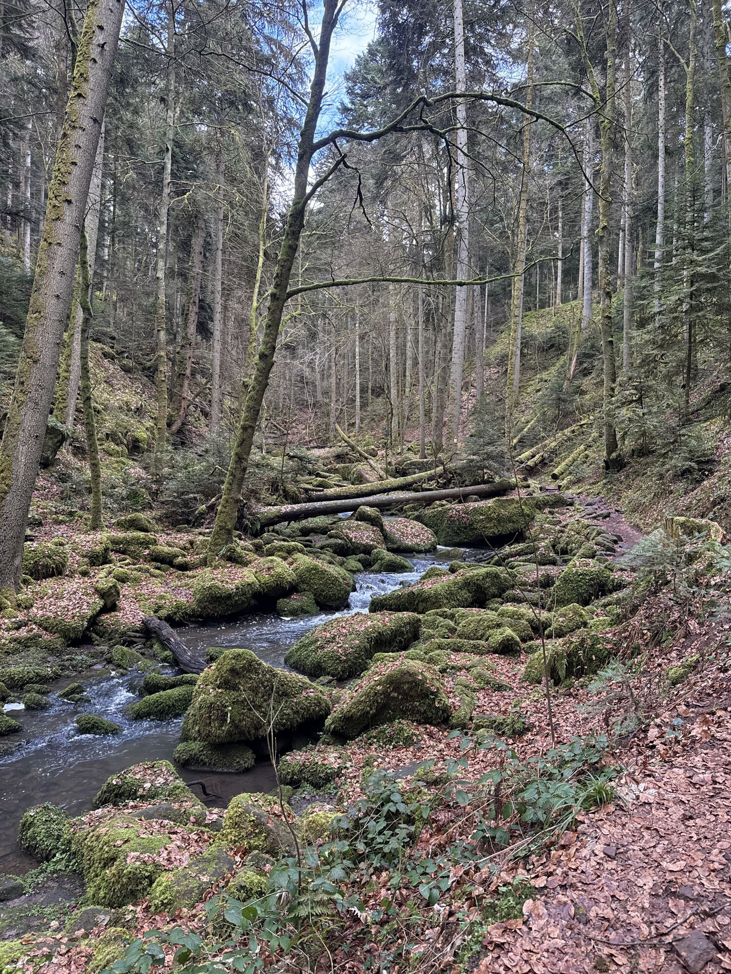
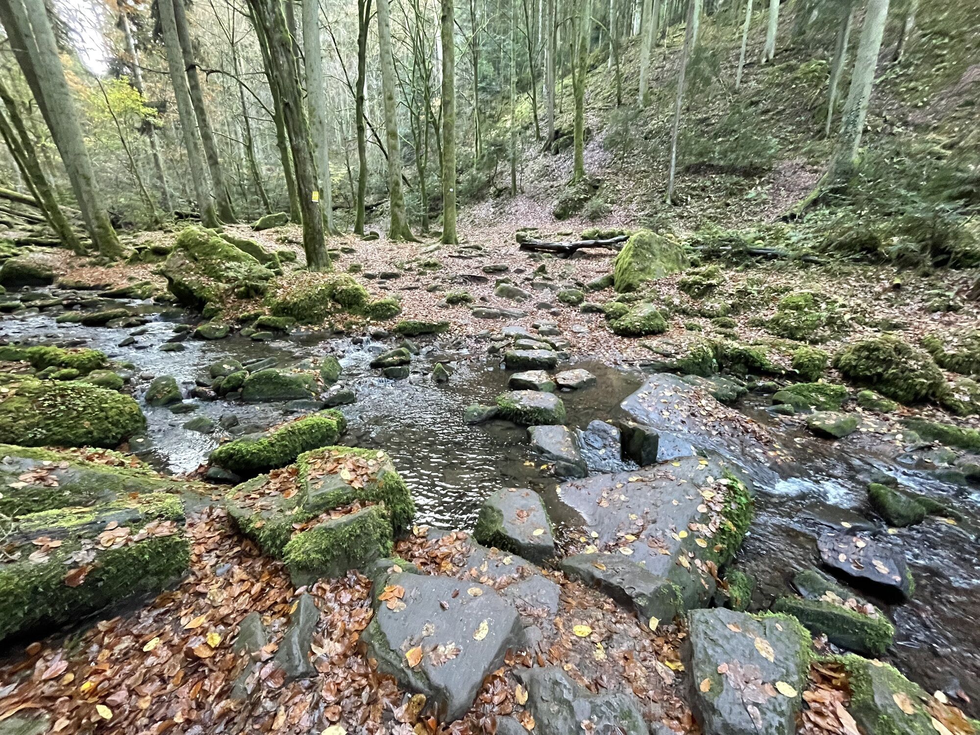
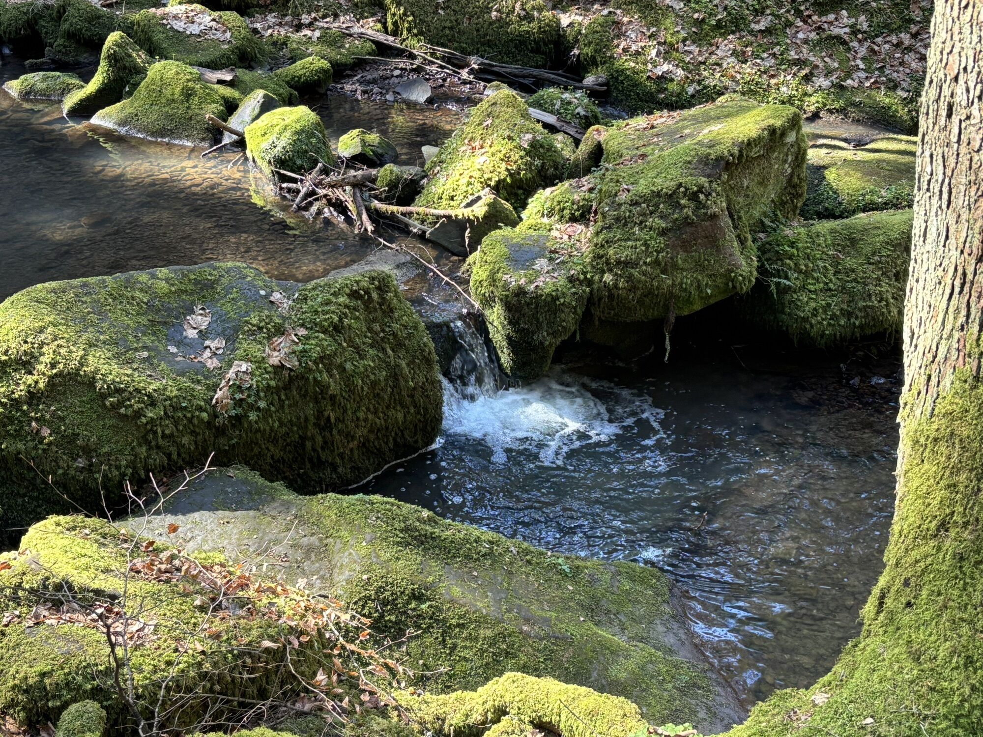
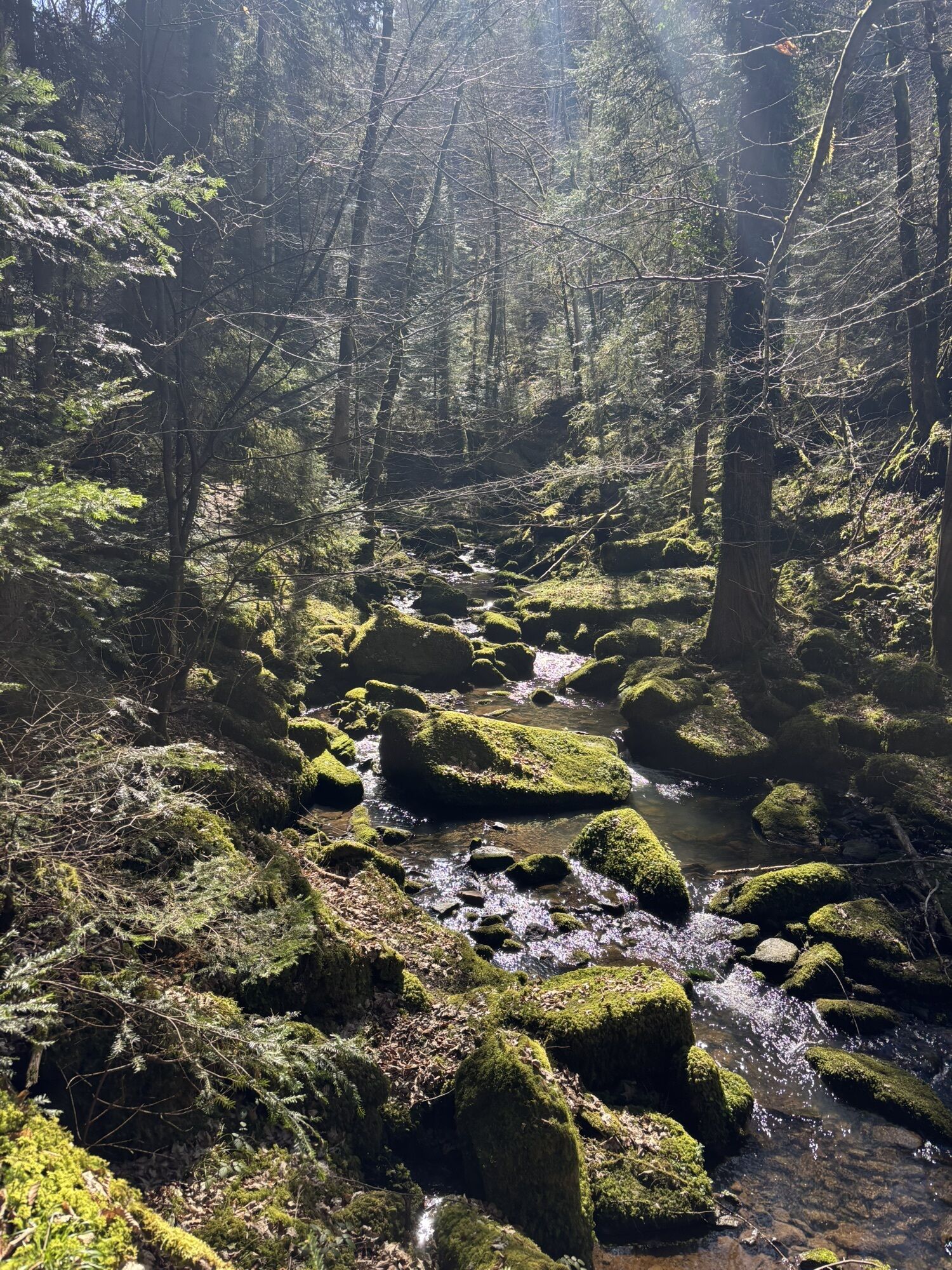
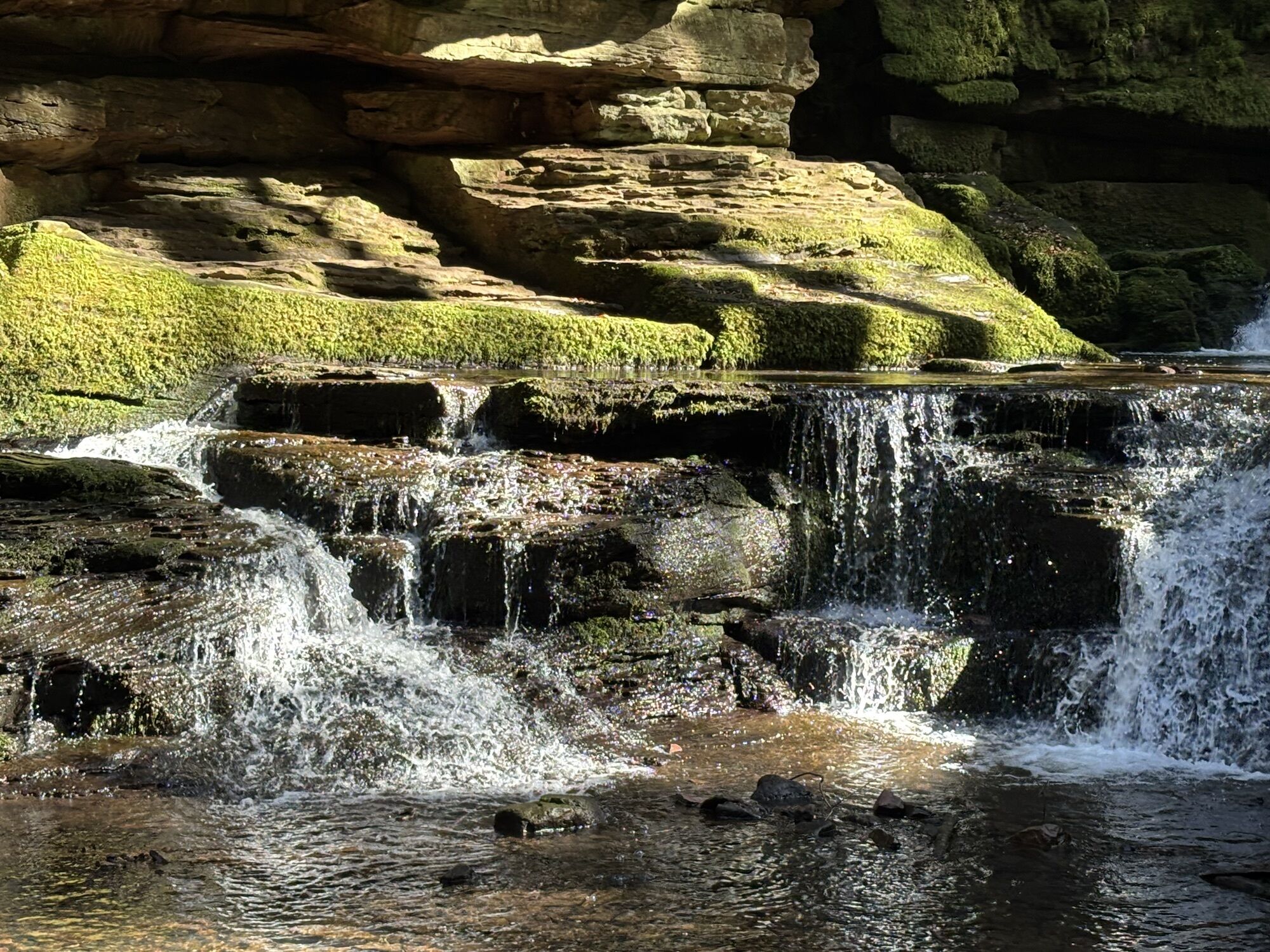
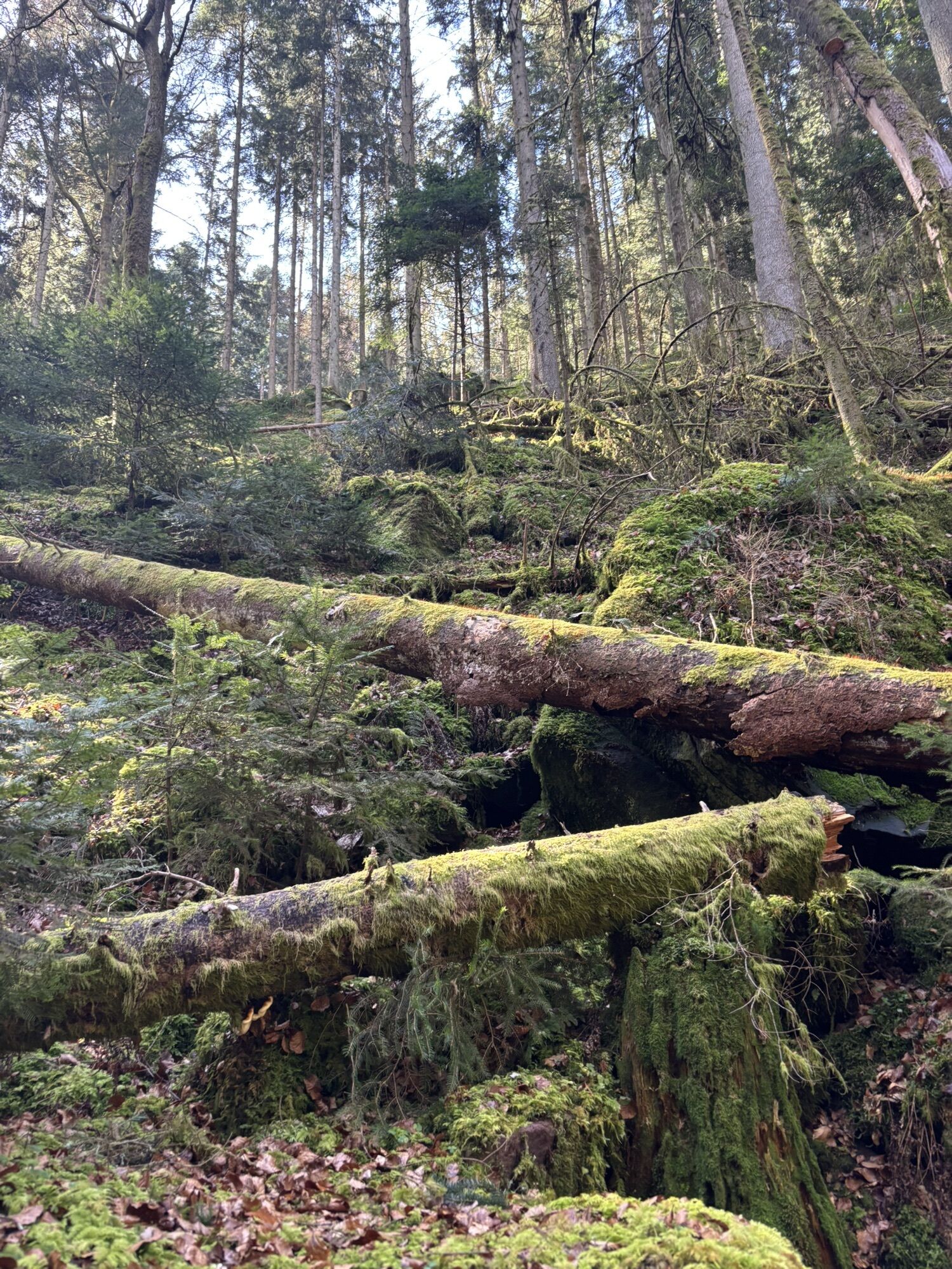
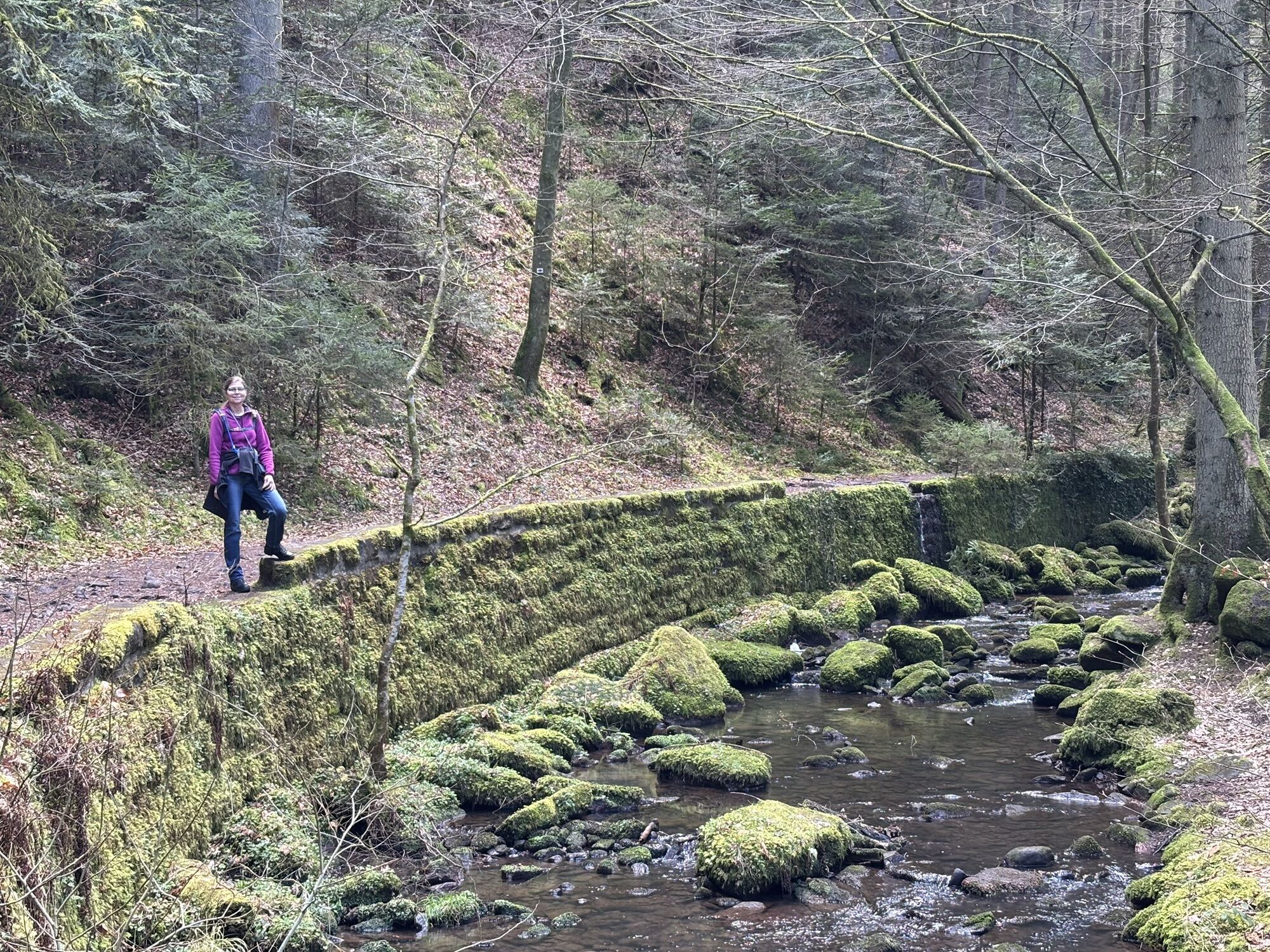
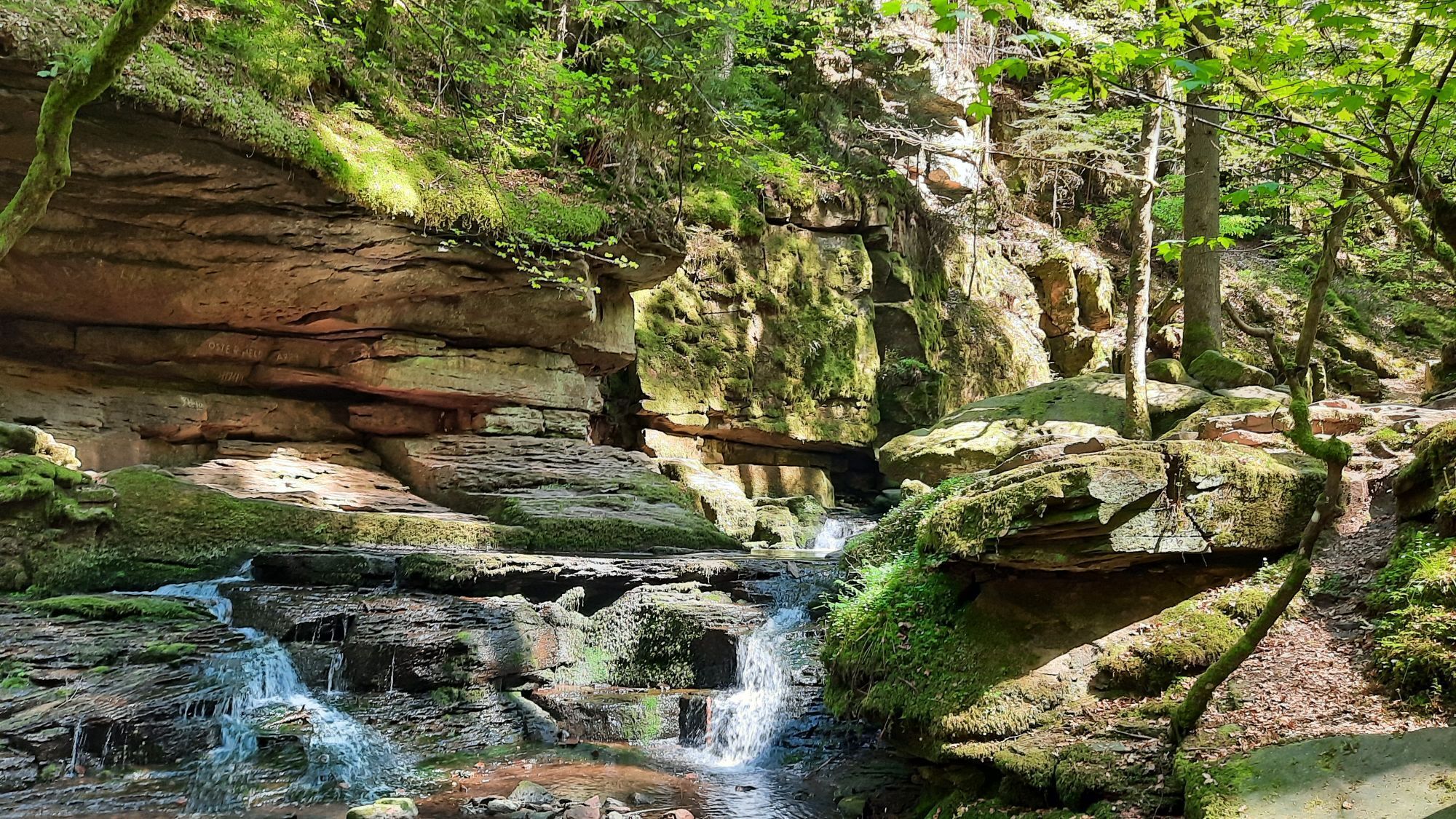
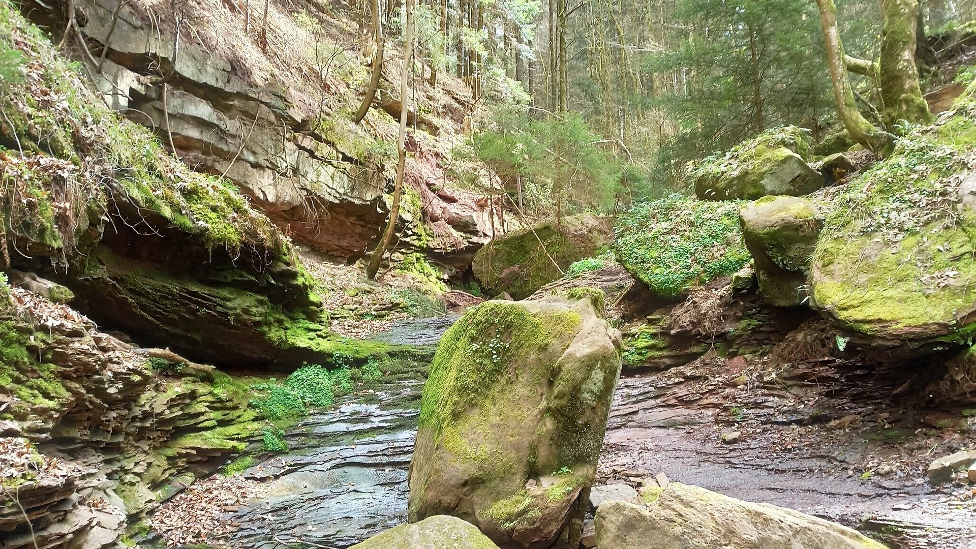
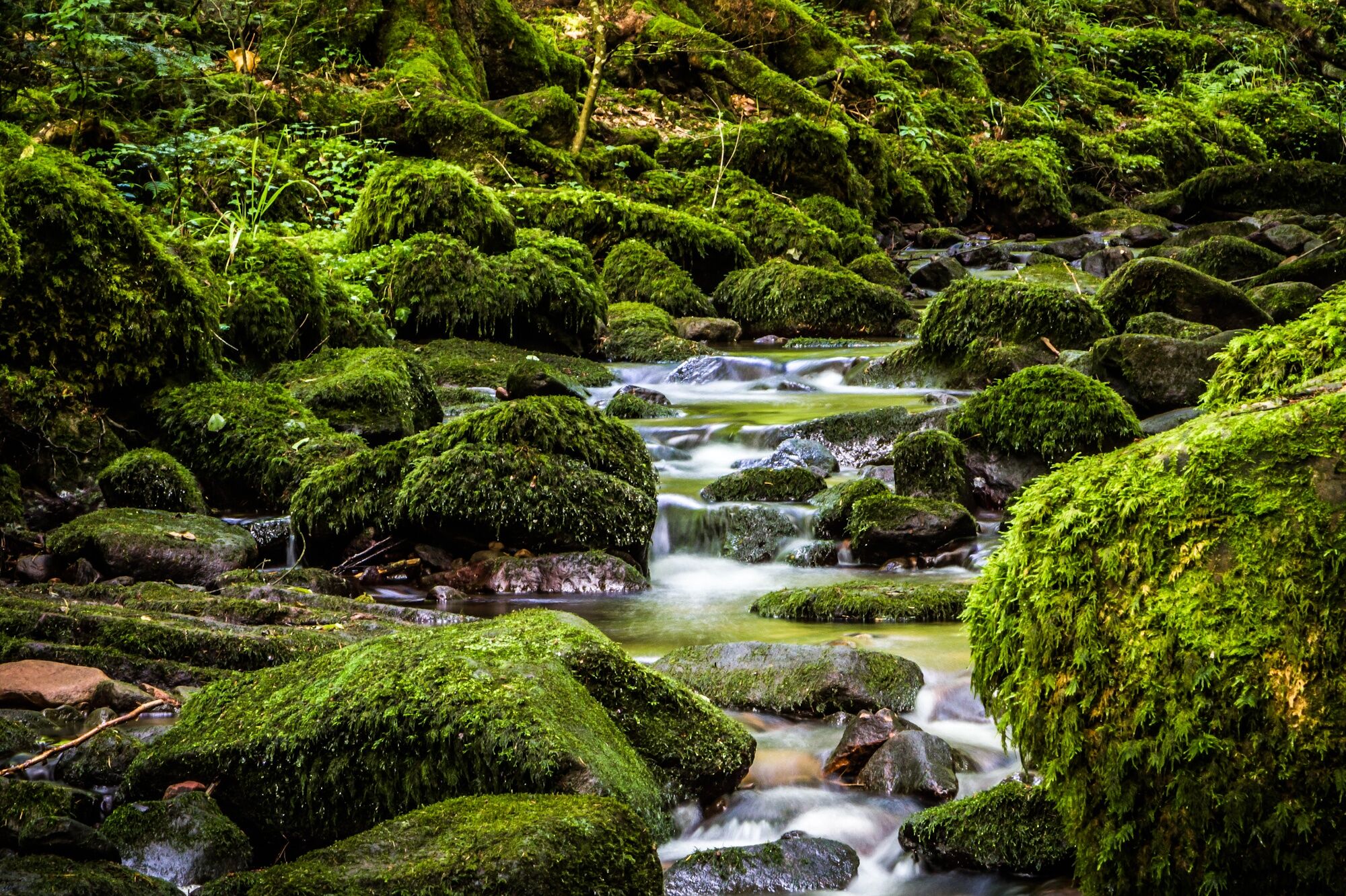
The paths in the Wolf Gorge and in the Monbach Valley are sometimes muddy and steep and require surefootedness!
B463 through the Nagold valley
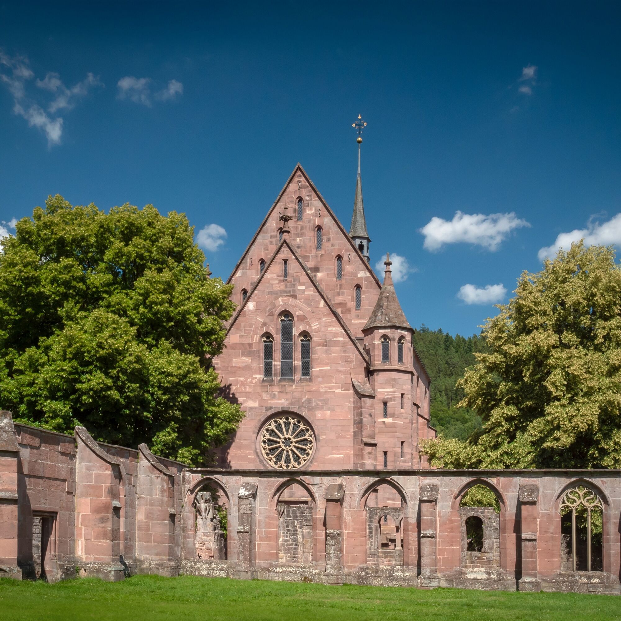
Car park at Hirsau Monastery
Tourism GmbH Northern Black Forest
Sonnenweg 5
75378 Bad Liebenzell
07052-8169770

Popularne wycieczki w okolicy
- 4,7
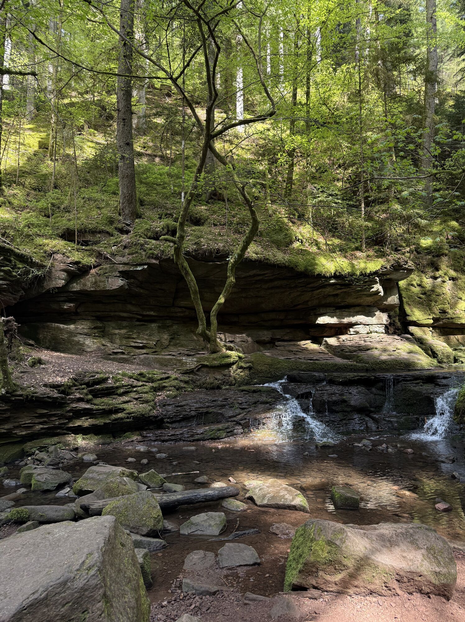
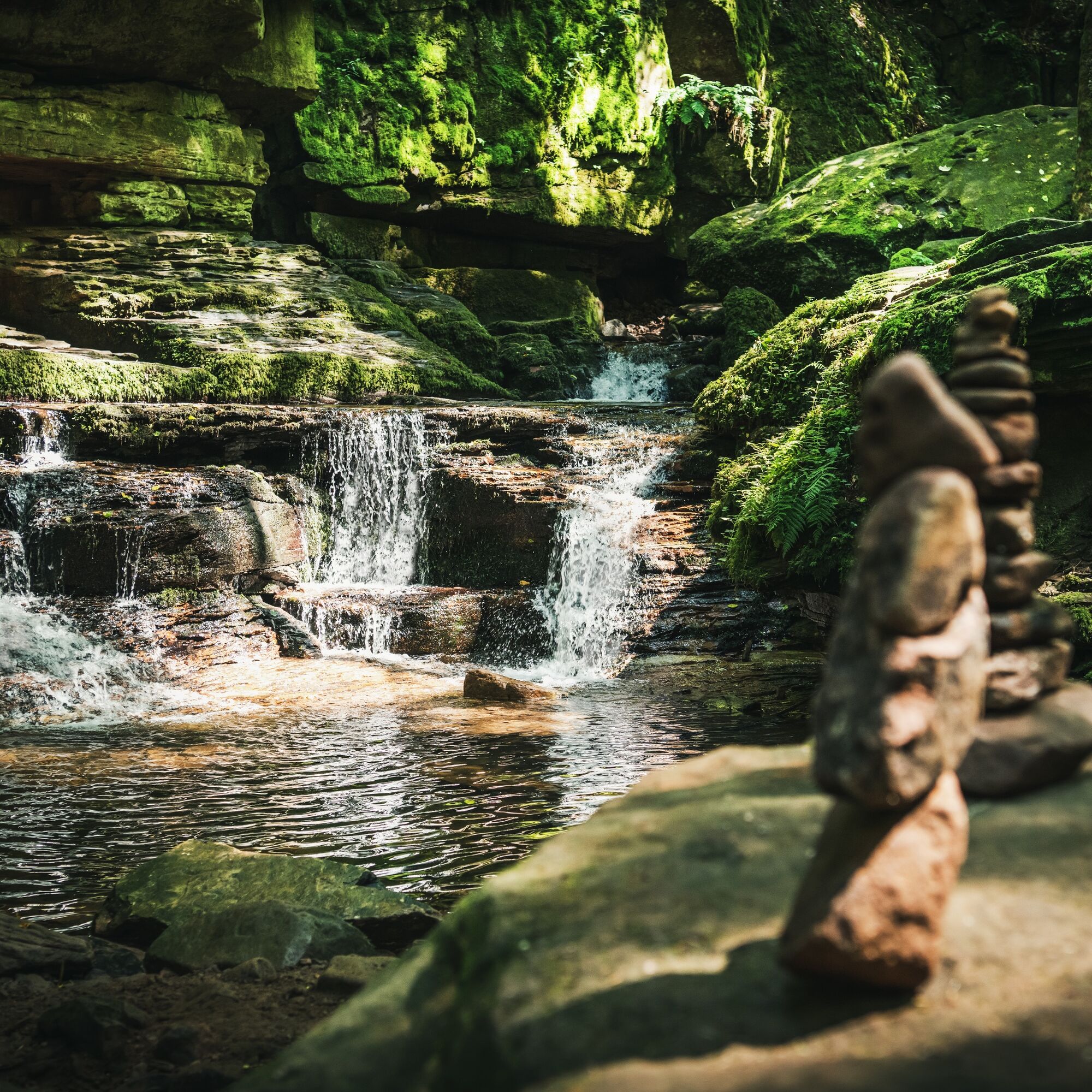
Hiking through the Monbach Gorge in search of the kingfisher
średniWędrówka 10,5 km - 5,0
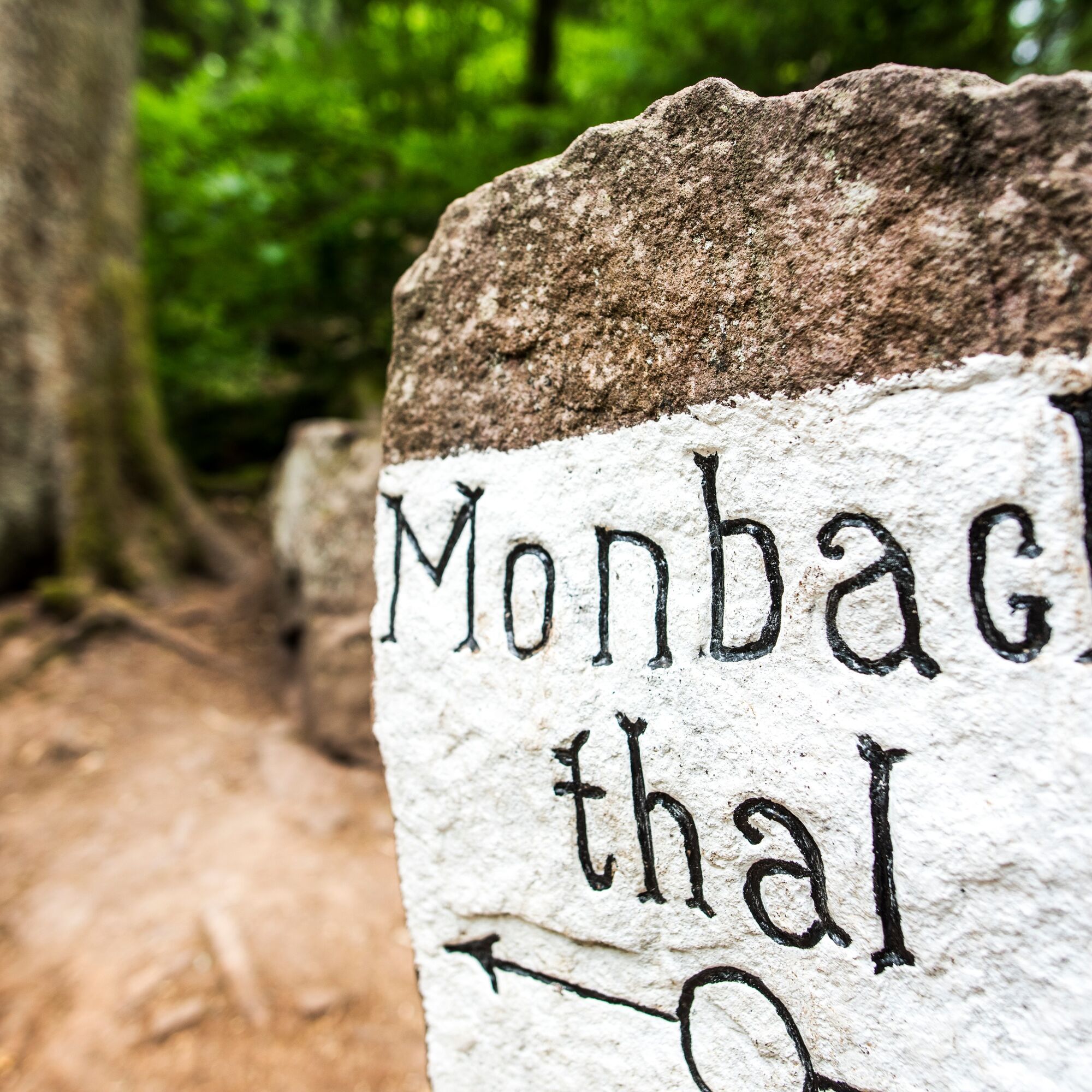
Wild romantic Monbach Valley
światłoWędrówka 6,25 km - 4,0
Wolfsschlucht and Fox Gorge
średniWędrówka 9,74 km - 4,7
Through the wild romantic Schweinbachtal to the Bruderhöhle cave
średniWędrówka 13,8 km - 5,0
Der Teinacher (Premiumweg & Genießerpfad)
średniWędrówka 12,0 km - 5,0
Water, Woods and Meadowtrail / Zavelstein > Calw (Premium trail & Genussweg)
ciężkiWędrówka 14,4 km - 5,0
From Bieselsberg into the wild Monbach valley - dream route on small paths
ciężkiWędrówka 18,0 km - 5,0
AugenBlick route Bad Teinach-Zavelstein Zettelberg
ciężkiWędrówka 15,5 km - 4,5
Waldeck ruins and the largest water wheel in Europe
średniWędrówka 15,4 km - 4,0
Through the Lengenbach valley to the historic Burg Liebenzell
średniWędrówka 10,9 km
Wędrówki i tropienie


Nie przegap ofert i inspiracji na następne wakacje
Twój adres e-mail została dodana do listy mailingowej.