






Over the Calw heights
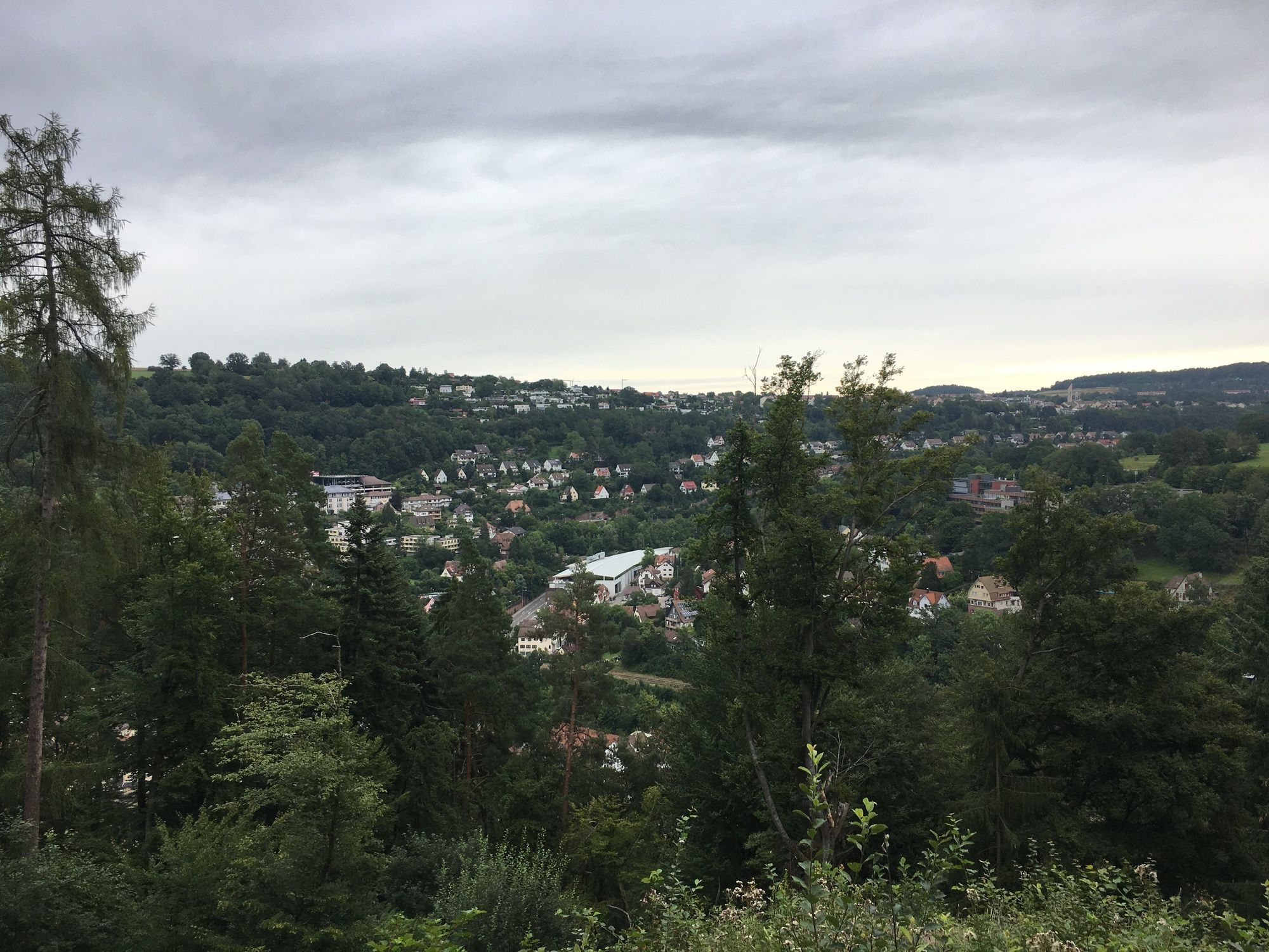
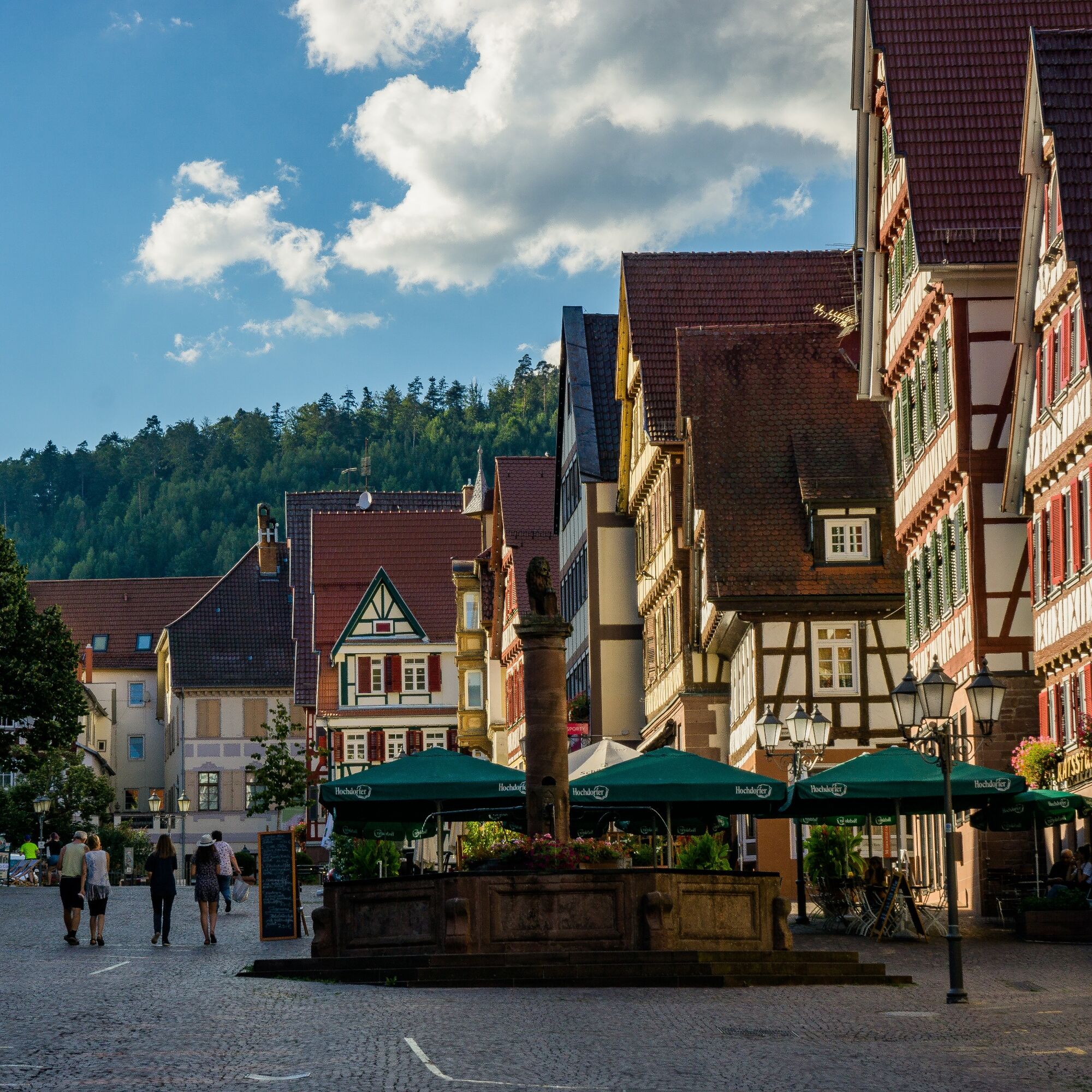
This route goes through the idyllic landscape around the Hermann-Hesse town of Calw. From the quaint old town it goes directly on the Engagement Path into nature. After a gentle ascent, we reach Rudersberg....
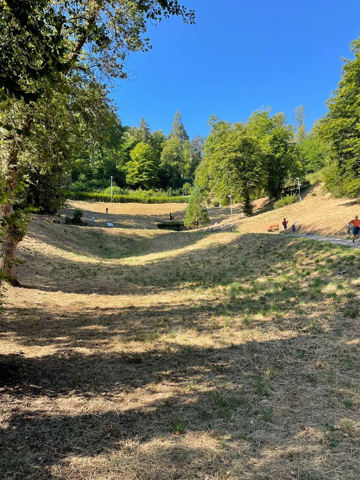
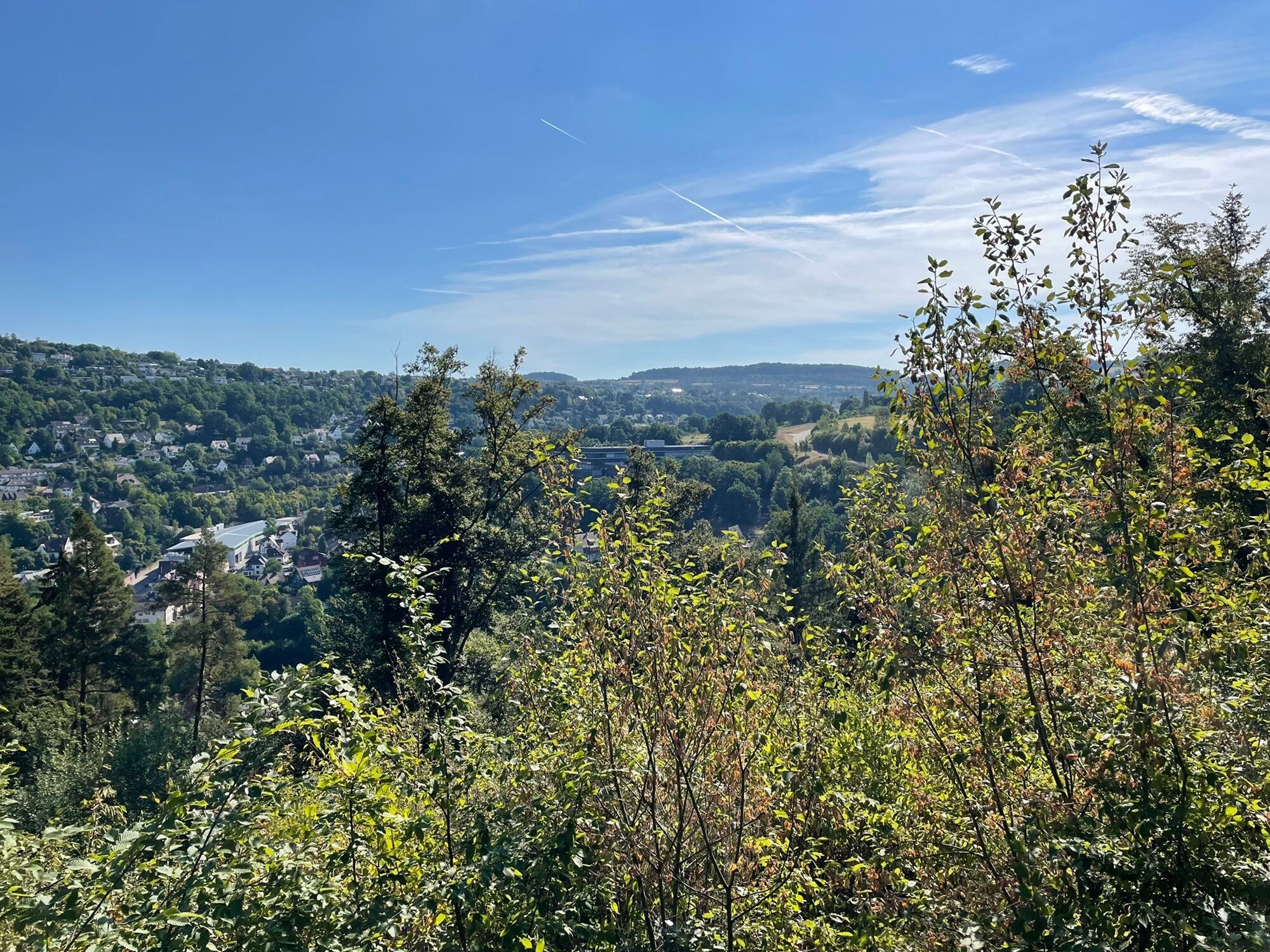
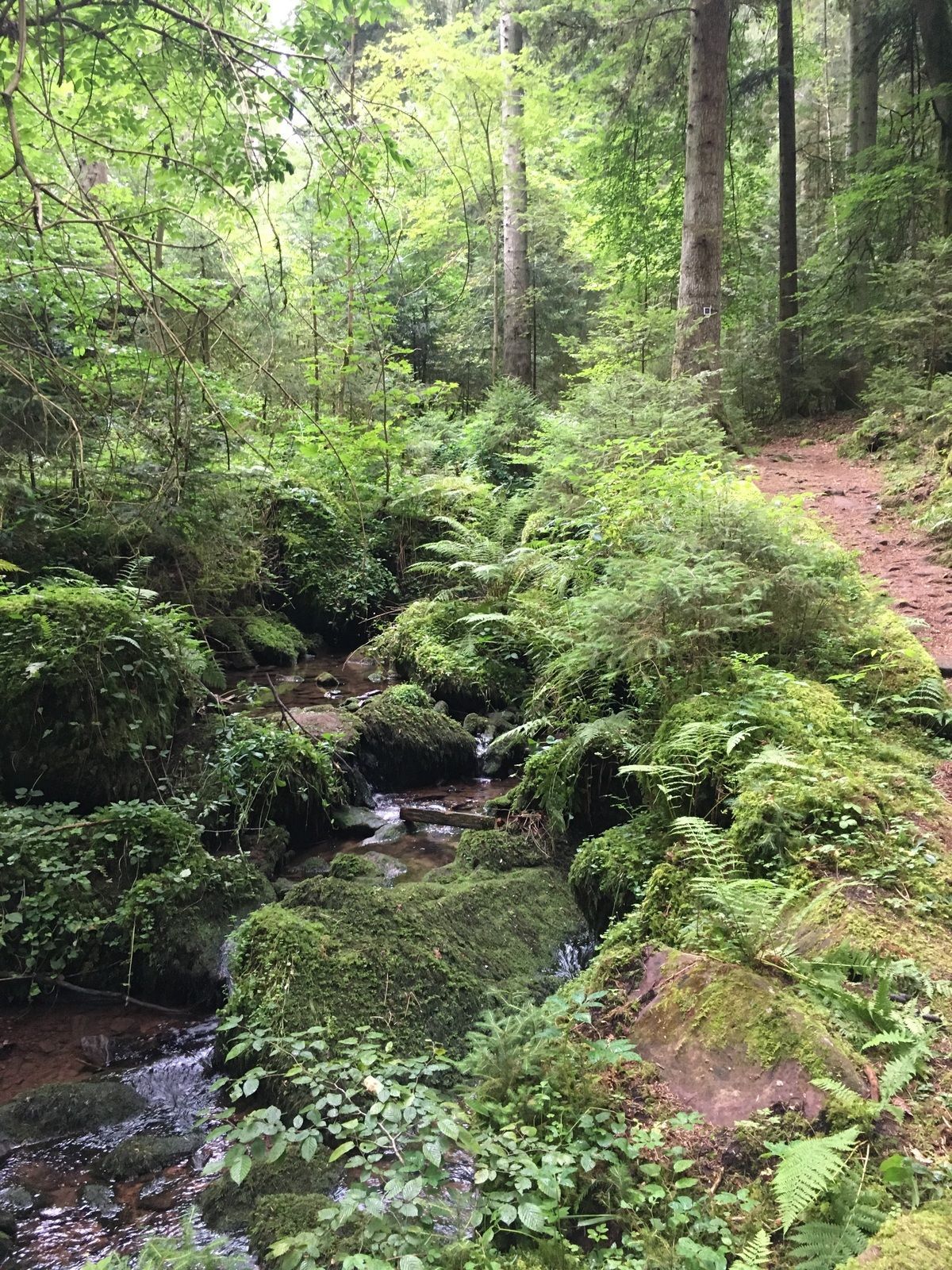
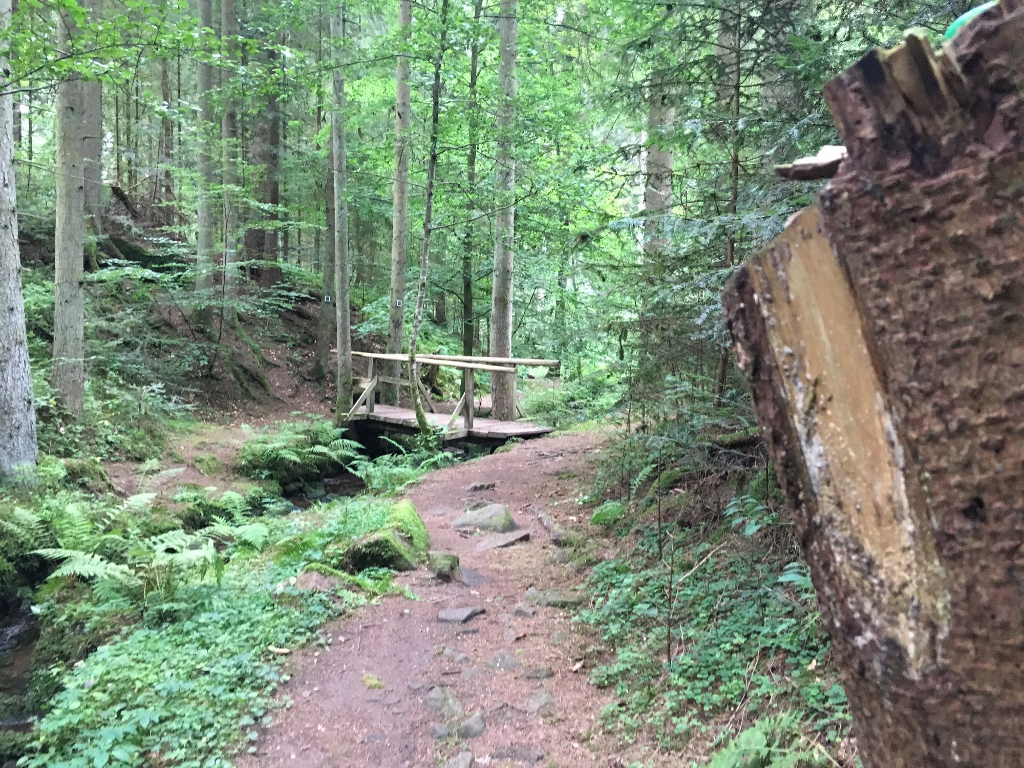
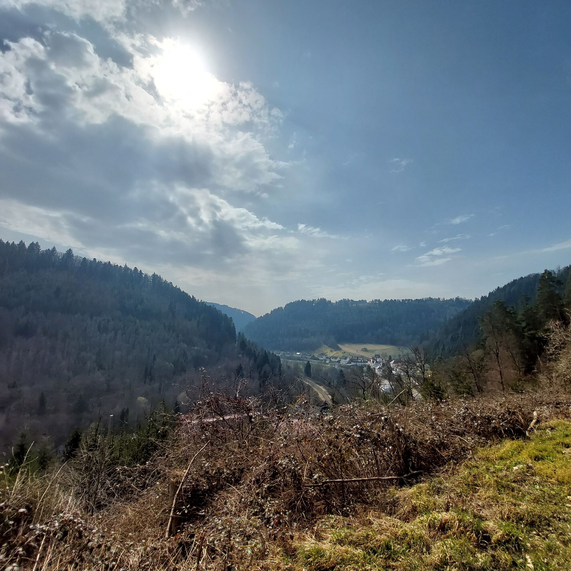
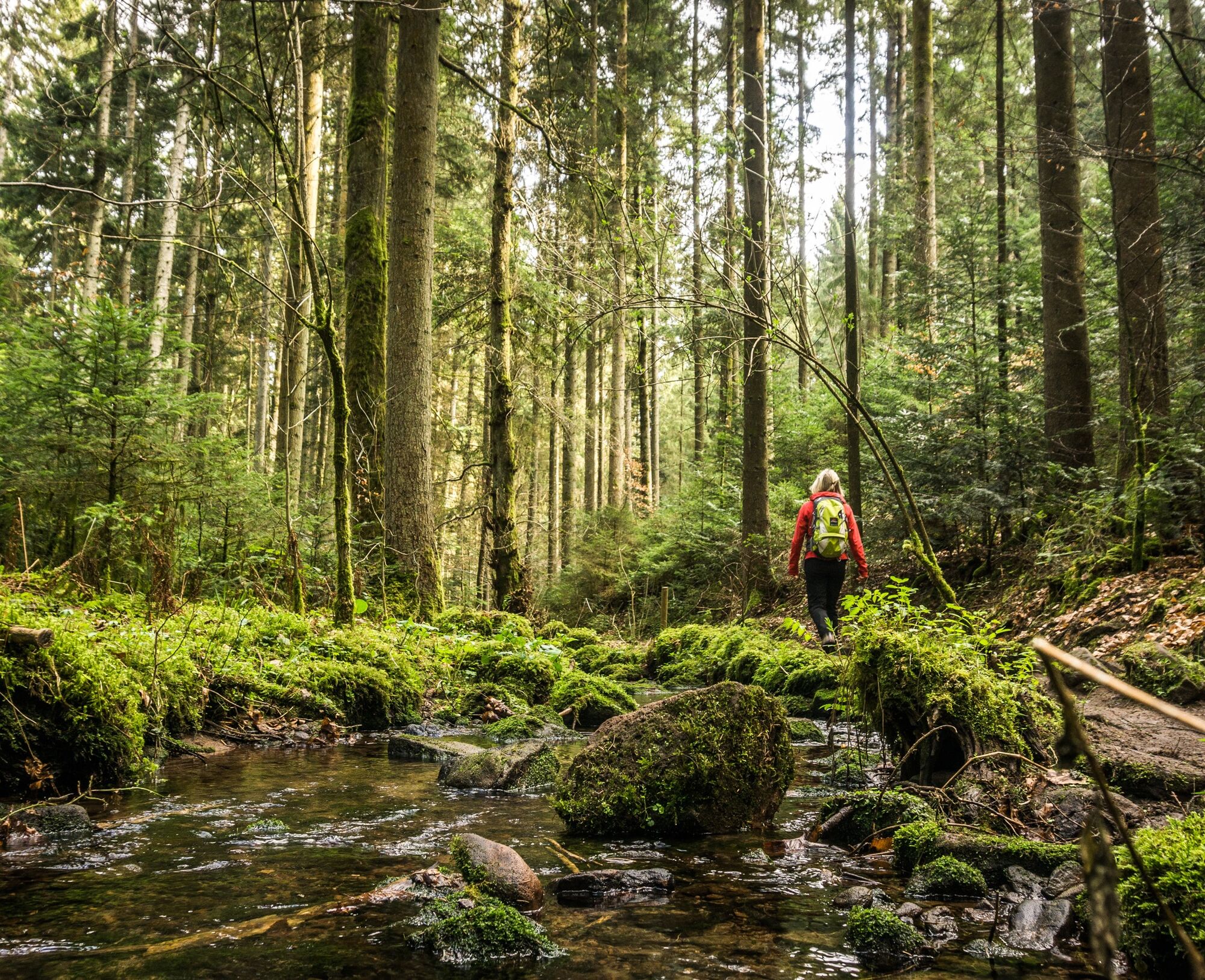
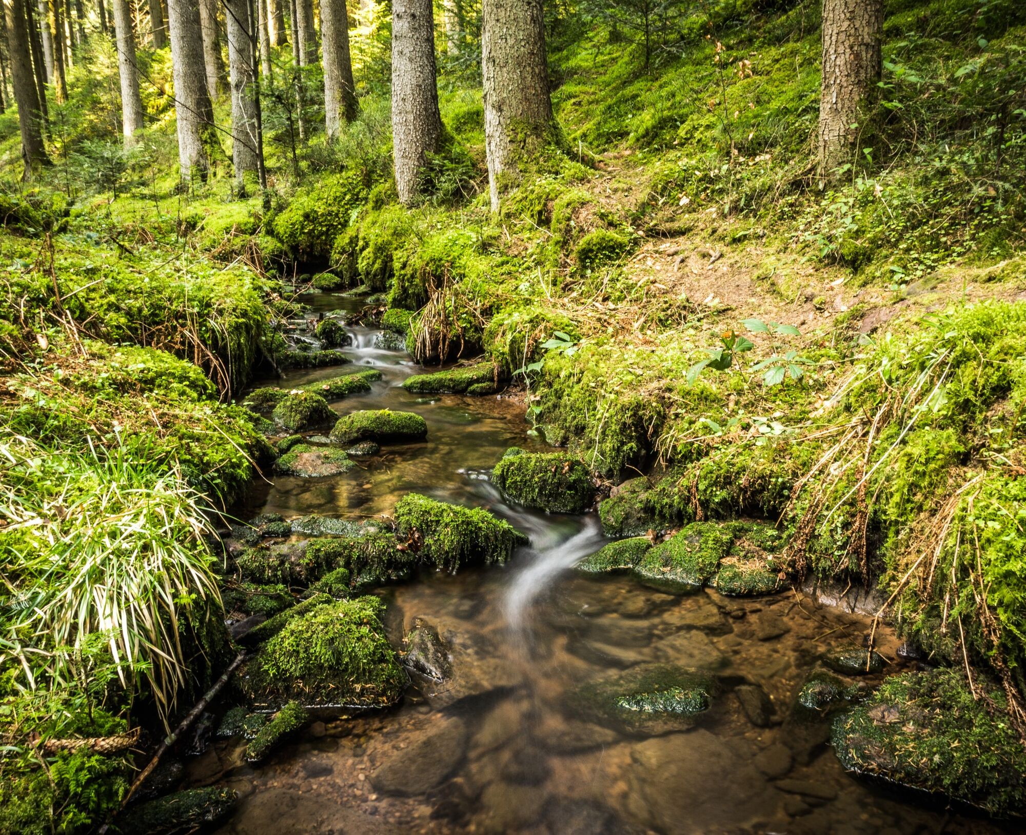
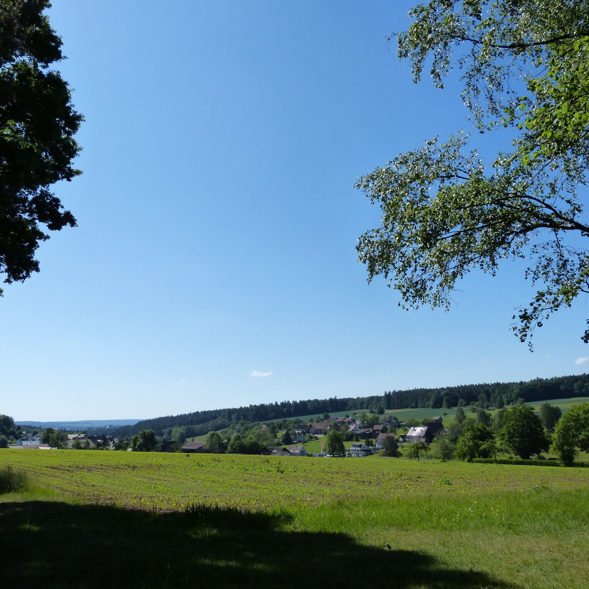
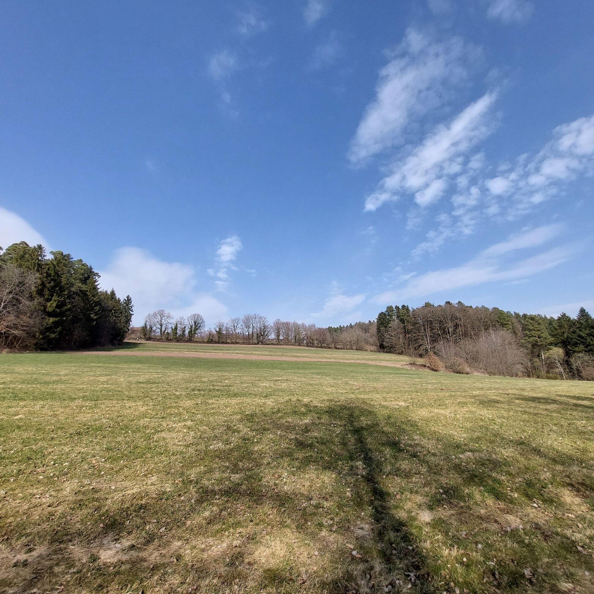
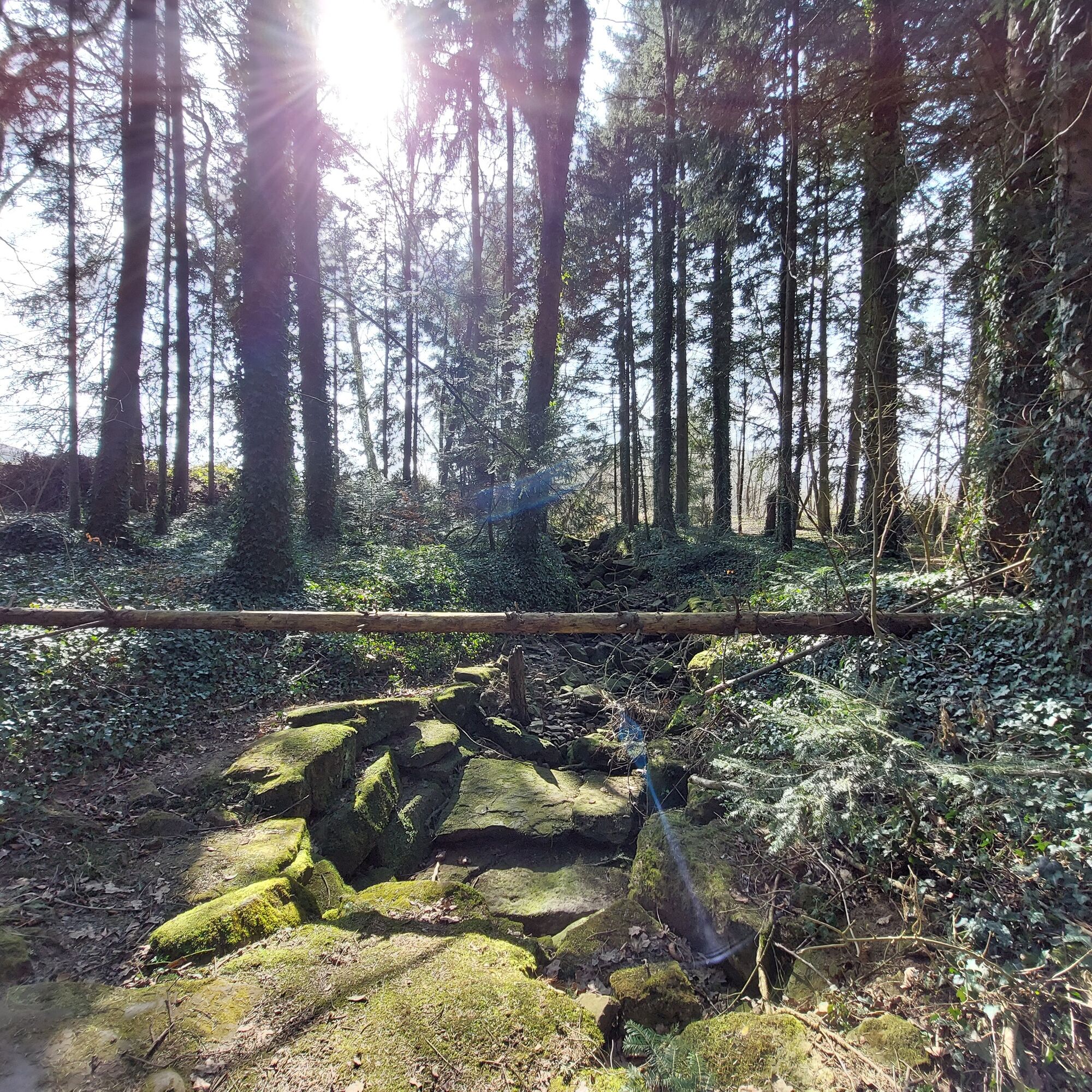
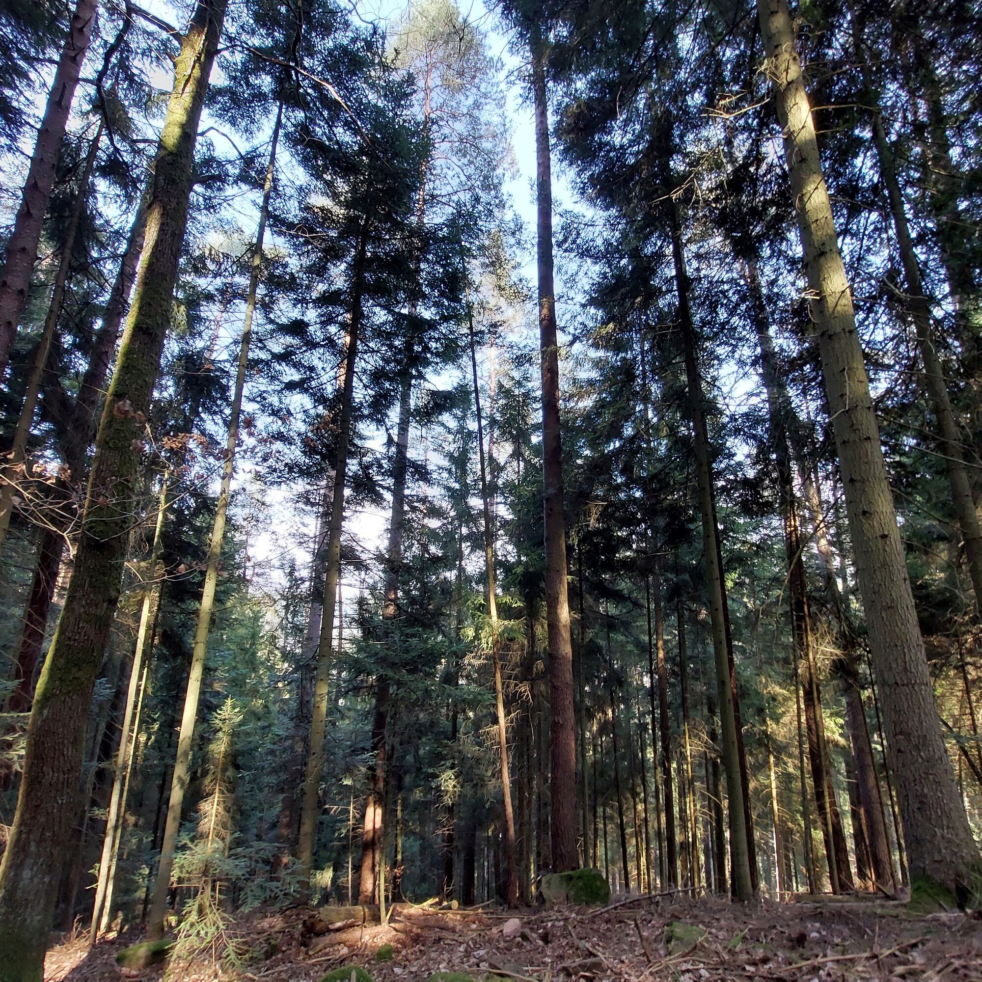
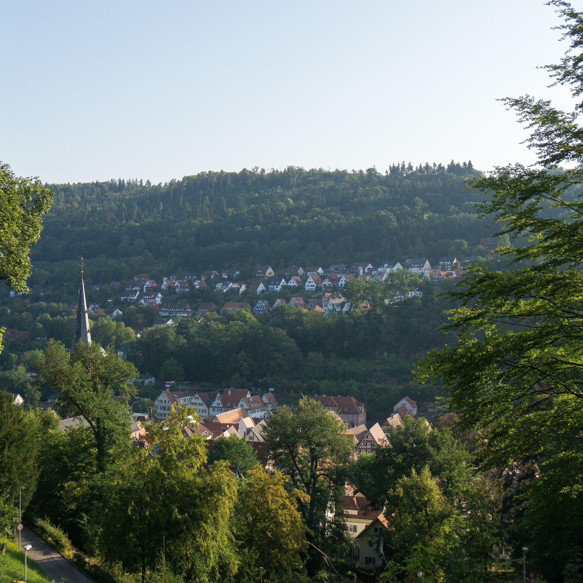
This route goes through the idyllic landscape around the Hermann-Hesse town of Calw. From the quaint old town it goes directly on the Engagement Path into nature. After a gentle ascent, we reach Rudersberg. From here you have a great view into the Nagold valley, over the forested slopes and Kentheim, which has one of the oldest churches in Baden-Württemberg. The Rötelbachtal features its babbling brook, cascades, and moss-covered stones and trunks. While the lower part of Rötelbachtal is probably well visited, the upper part is much quieter - time to enjoy nature! Once on the sunny heights, the route goes through Speßhardt and Oberriedt. Sections through fragrant forests and views over Calw to the Heckengäu alternate here. Down the zig-zag path, the trail leads past the Schinderbach before shortly after passing the Kuckkucksfelsen. Over the city garden with a view, we arrive back in Calw.
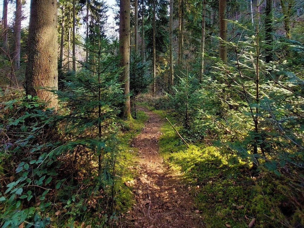
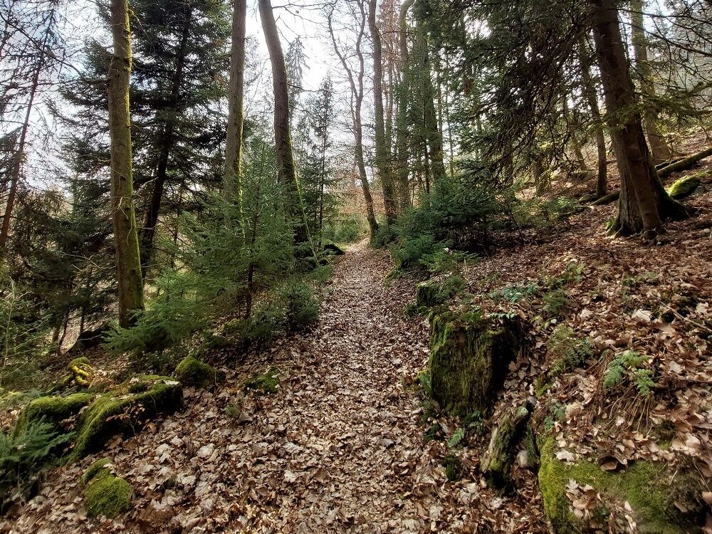
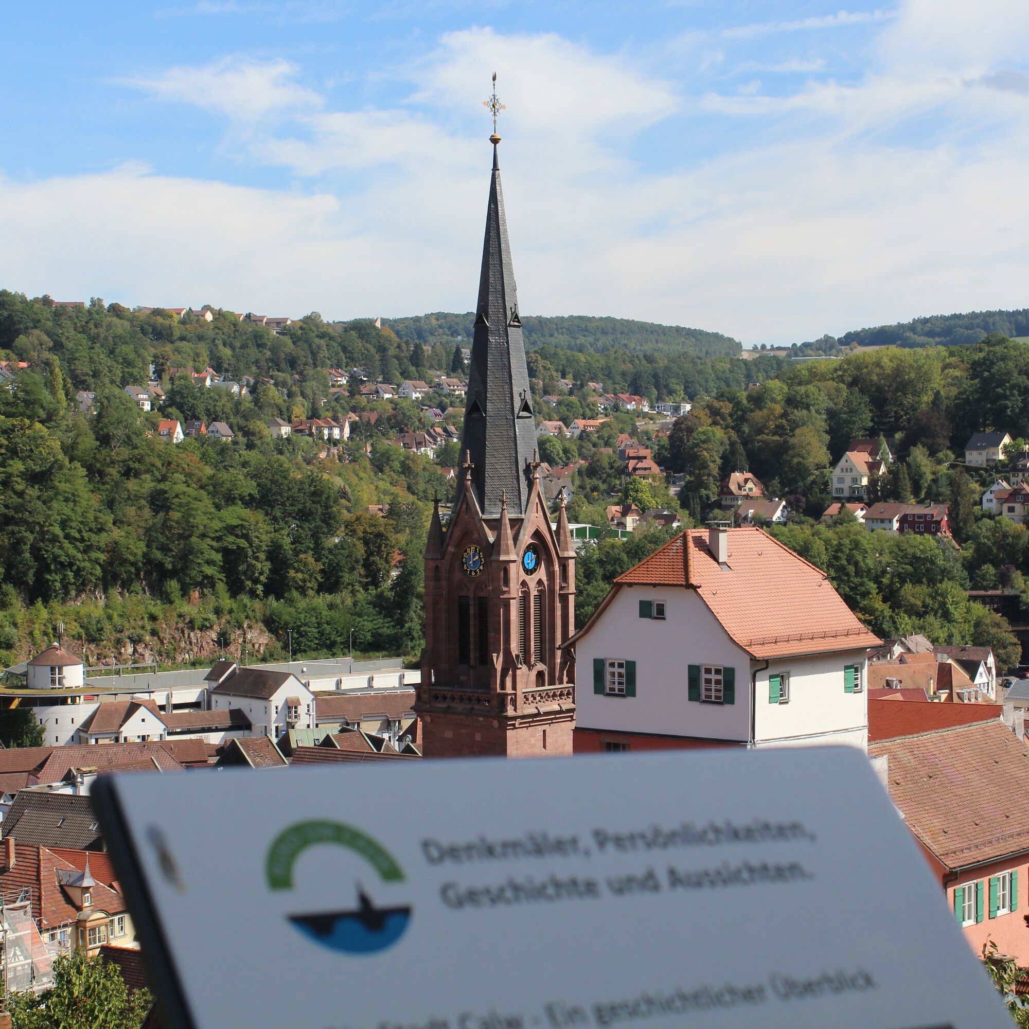

The route runs for the most part on the marked hiking trail network of the Schwarzwaldverein.
WWS Calw/Calwer Markt, WWS Rudersberg, WWS Rötelbachtal, WWS Im Rötelbachtal, WWS Zavelsteiner Brückle, WWS Tannenbusch, WWS Speßhardter Mauer, WWS Kohlerstraße, WWS Speßhardt, WWS Anplätz, WWS Oberriedt, WWS Altburg/Bäckergässle, WWS Bireknwäldle, WWS Kooväcker, WWS Alzenbrunnen
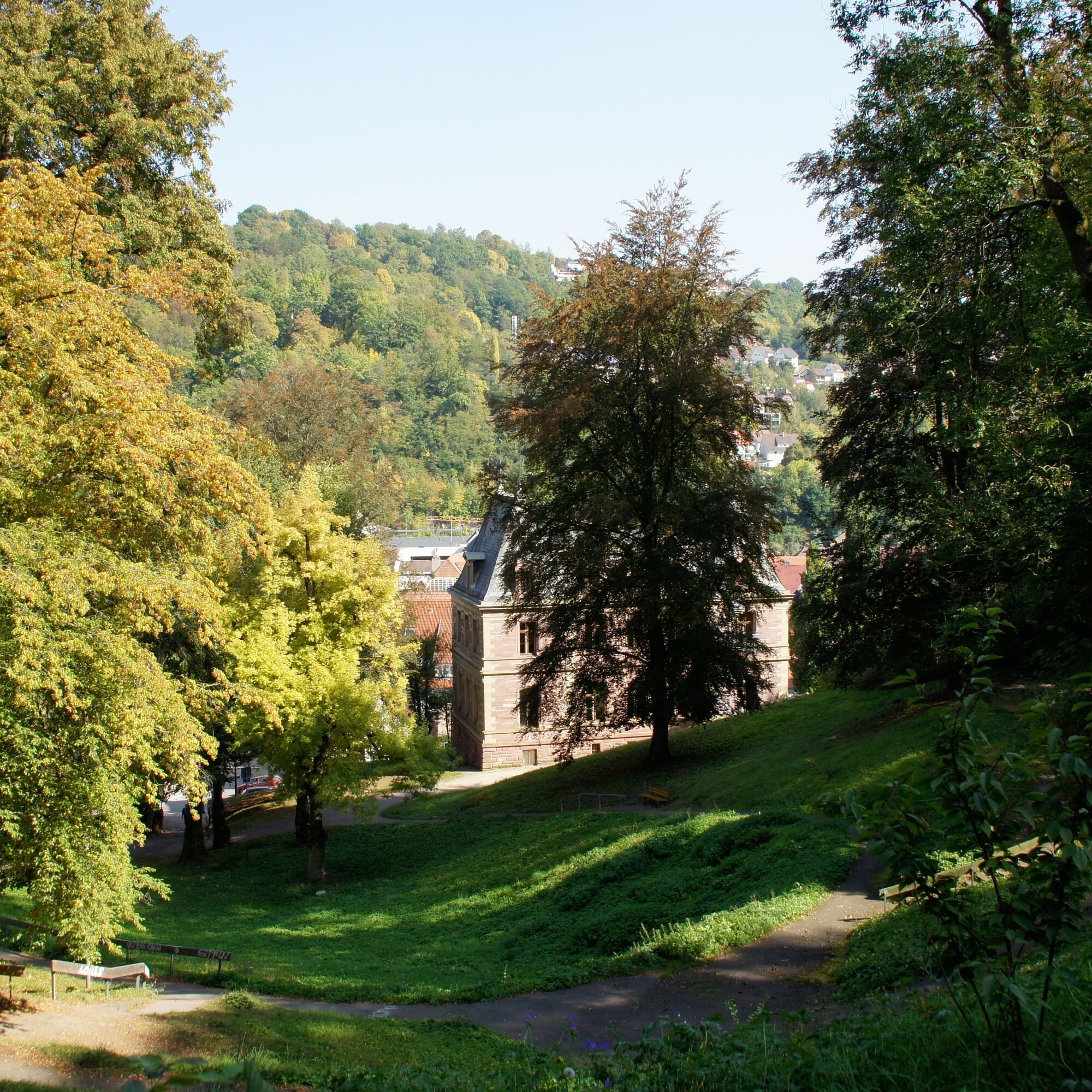
From WWS Alzenbrunnen we follow the diamond symbol to the right up the path towards Alzenberg. We follow the nature trail until it meets a wide gravel road again. The diamond sign also points left. We follow this for about 10 meters, then leave the diamond trail and turn left onto the nature trail leading down. Shortly after, two paths split off to the right from this trail - we continue on the left one. We follow this until we reach a gravel road. We keep right and follow this wide road down towards Calw. We reach the main road, cross it, and walk up the street just past the bus stop to Vorstadtweg. Here we return to the diamond trail and follow it past the district court to the city garden. We descend through the city garden and return to the starting point of the route.
Tak
Sturdy footwear, hiking poles may be helpful, provisions, (digital) maps
Best hiking time is April to October, although it can be slippery year-round in the Rötelbachtal. After heavy rain, the path may be temporarily flooded.
Motorway A8 from Karlsruhe: Exit Pforzheim-West (approx. 25 km); continue via federal road B463 towards Calw
Motorway A8 from Ulm/Stuttgart: Exit Leonberg (approx. 30 km), continue via federal road B295 towards Weil der Stadt and Calw
Motorway A81 from the south / Lake Constance: Exit Gärtringen-Stadtmitte (approx. 20 km), continue via K1075; near Deckenpfronn turn left onto K1022. At the roundabout take the first exit and continue on B296 towards Calw.
Arrival by bus:
Greater Stuttgart area Bus line 670 DB Bahn Regiobus / Volz; (Calw-Weil der Stadt) (connection to S6)
Böblingen / Sindelfingen area: Bus line 763 DB Bahn Regiobus; Calw-Böblingen (connection to S1)
Herrenberg area: Bus line 770 (connection to S1)
Bad Herrenalb/Bad Wildbad: Bus line X63
Arrival by train:
Route Pforzheim - Calw - Horb - Tübingen (Kulturbahn)
Long-distance train connections (EC, IC, ICE) are best reached in Karlsruhe with connecting trains via Pforzheim (Kulturbahn).
If arriving via Stuttgart, we recommend continuing by S-Bahn S6 Stuttgart - Weil der Stadt with a transfer to bus line 670 to Calw.
Parking garages and parking lots in Calw:
Parking garage Calwer Markt: 234 parking spaces, open continuously
Parking garage ZOB: 287 parking spaces, open continuously
Parking garage Kaufland: 535 parking spaces, open continuously
Parking garage Haggasse: 119 parking spaces, open continuously
Further parking options:
Parking lot at the old station
Parking lot at the Walther-Lindner sports hall
Parking lot at the city garden
Tourism GmbH Northern Black Forest
Sonnenweg 5
75378 Bad Liebenzell
07052-8169770
There are no places to stop for food or drinks along the hike. Therefore, a hearty snack and beverages should be packed for a short break!
Uzyskaj wgląd
Zawsze na żywo z ponad 9 500 kamer internetowych. bergfex Jako użytkownik Pro, możesz teraz zobaczyć odpowiednie kamery internetowe dla wielu wycieczek w aplikacji wycieczki od. Pozwala to na bezpośredni podgląd aktualnych warunków.

Popularne wycieczki w okolicy
-
4,7
Hiking through the Monbach Gorge in search of the kingfisher
średniWędrówka 10,5 km -
5,0
Wild romantic Monbach Valley
światłoWędrówka 6,25 km -
4,0
Wolfsschlucht and Fox Gorge
średniWędrówka 9,74 km -
4,7
Through the wild romantic Schweinbachtal to the Bruderhöhle cave
średniWędrówka 13,8 km -
5,0
Der Teinacher (Premiumweg & Genießerpfad)
średniWędrówka 12,0 km -
5,0
Water, Woods and Meadowtrail / Zavelstein > Calw (Premium trail & Genussweg)
ciężkiWędrówka 14,4 km -
5,0
From Bieselsberg into the wild Monbach valley - dream route on small paths
ciężkiWędrówka 18,0 km -
5,0
AugenBlick route Bad Teinach-Zavelstein Zettelberg
ciężkiWędrówka 15,5 km -
5,0
GeoTour Wildberg through the picturesque Lützenschlucht
ciężkiWędrówka 2,80 km -
4,0
Circular route Hirsau - Oberreichenbach - Schweinbachtal - Hirsau
średniWędrówka 10,2 km
Wędrówki i tropienie


Nie przegap ofert i inspiracji na następne wakacje
Twój adres e-mail została dodana do listy mailingowej.





