






Panorama route Teinach valley
Poziom trudności: 3
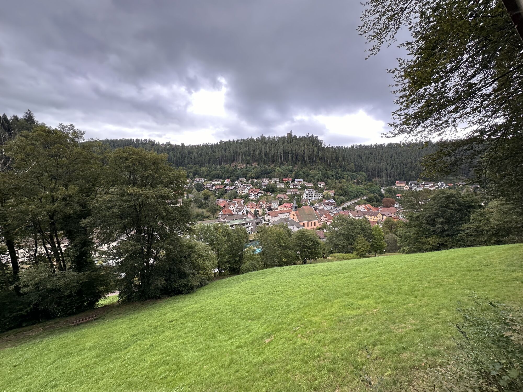
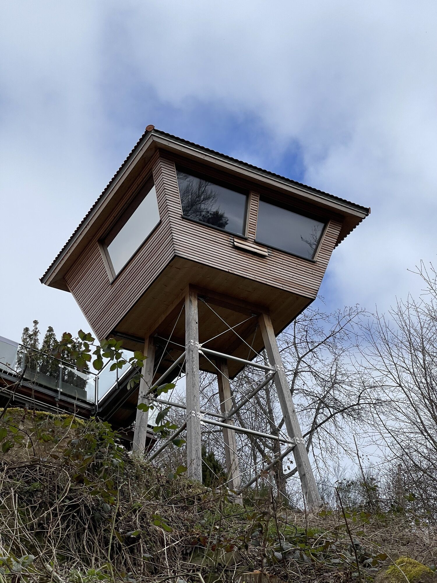
The circular route follows the little river Teinach to the romantically located Lautenbachhof and its game reserve. Via the glass mill, a sawmill where fir wood was formerly processed using the power of...
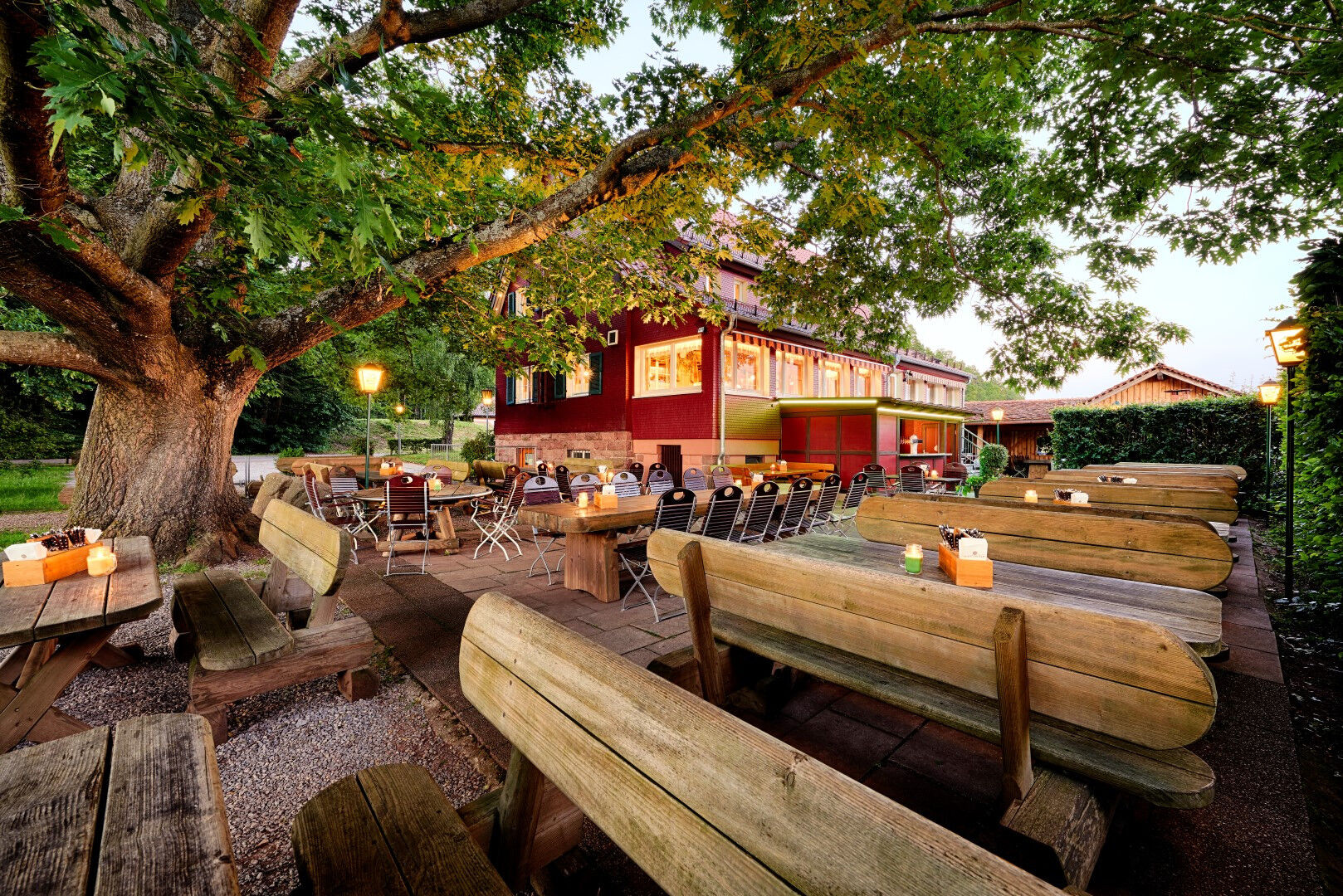
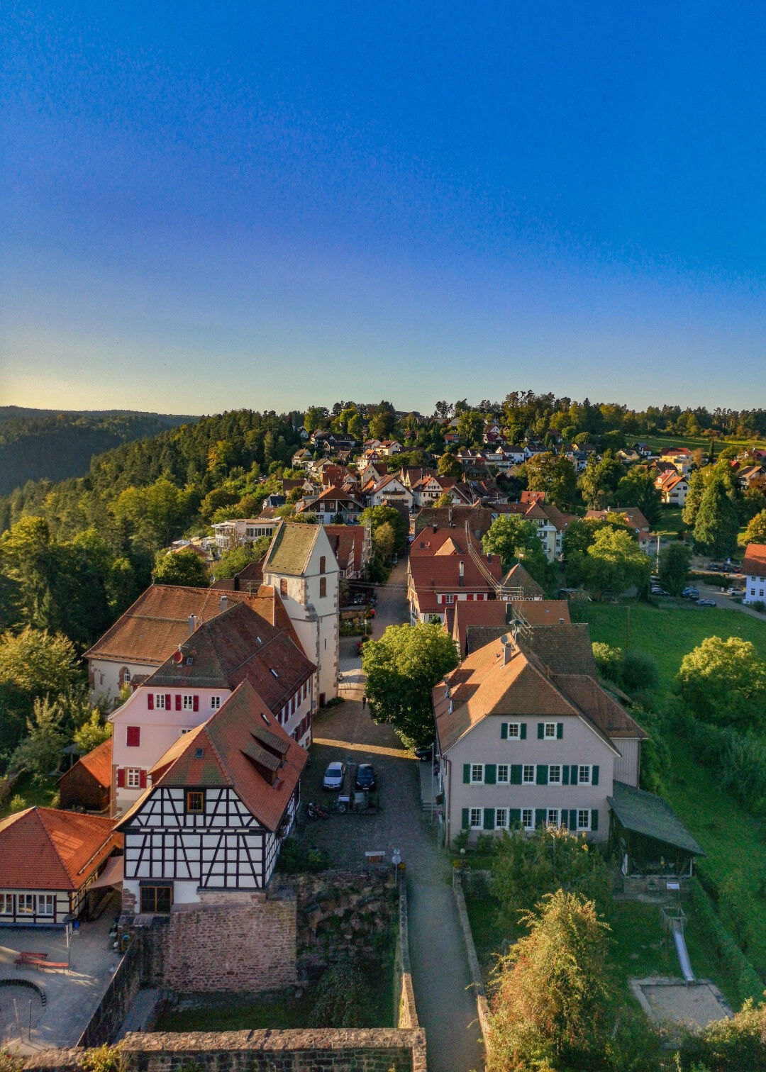
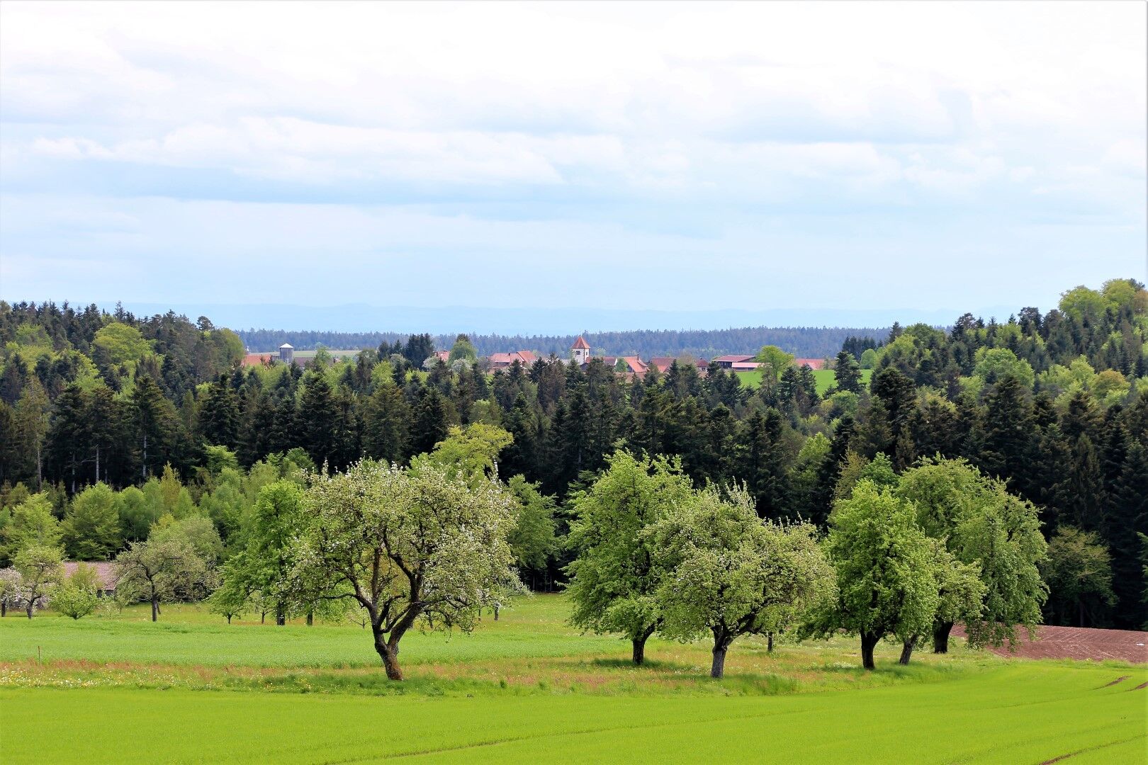
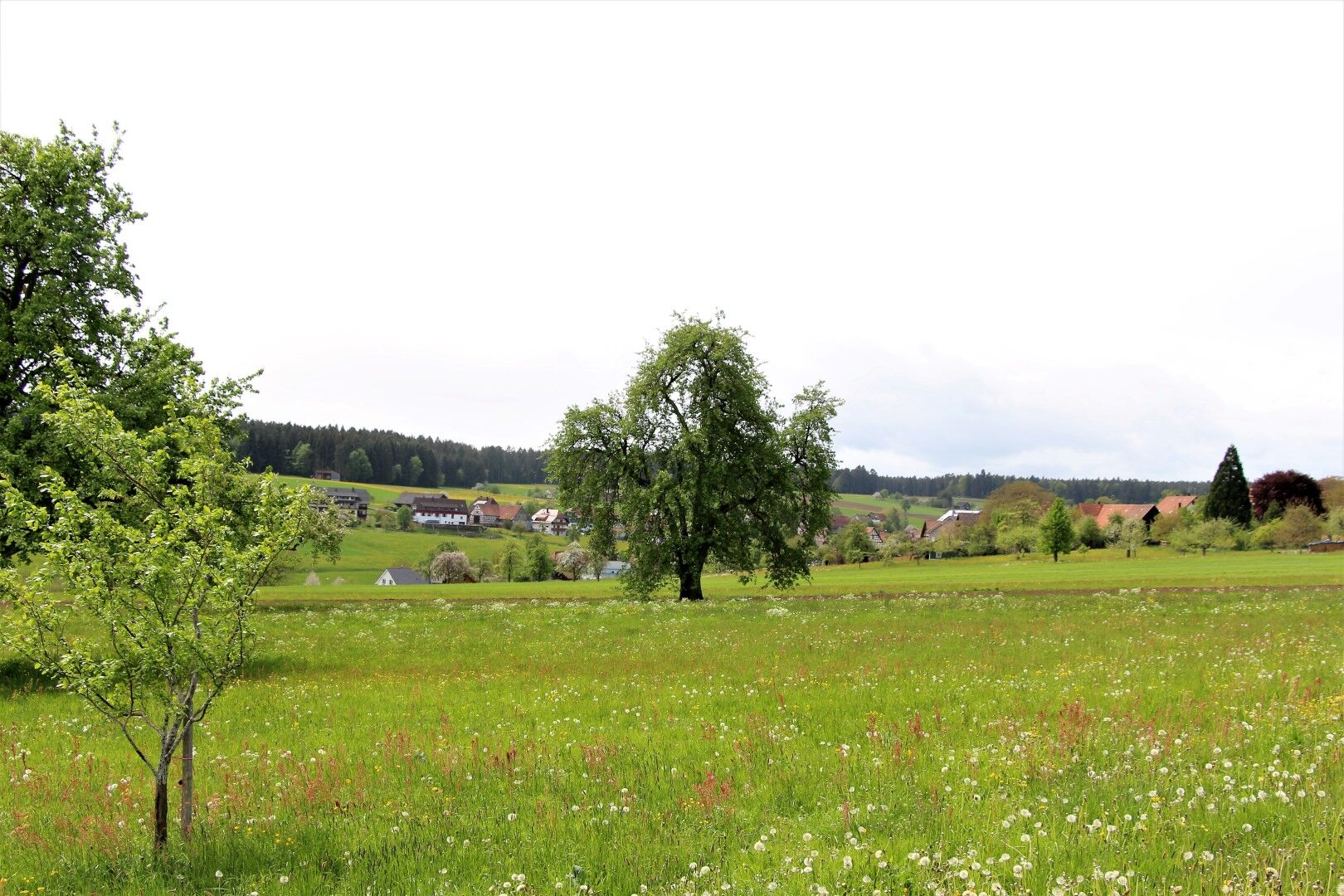
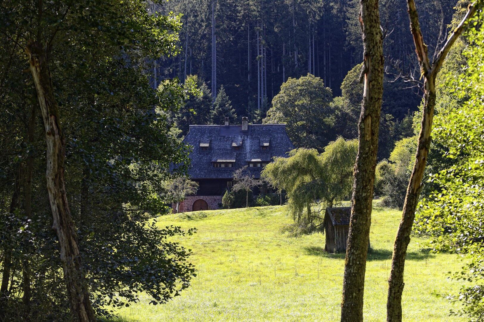
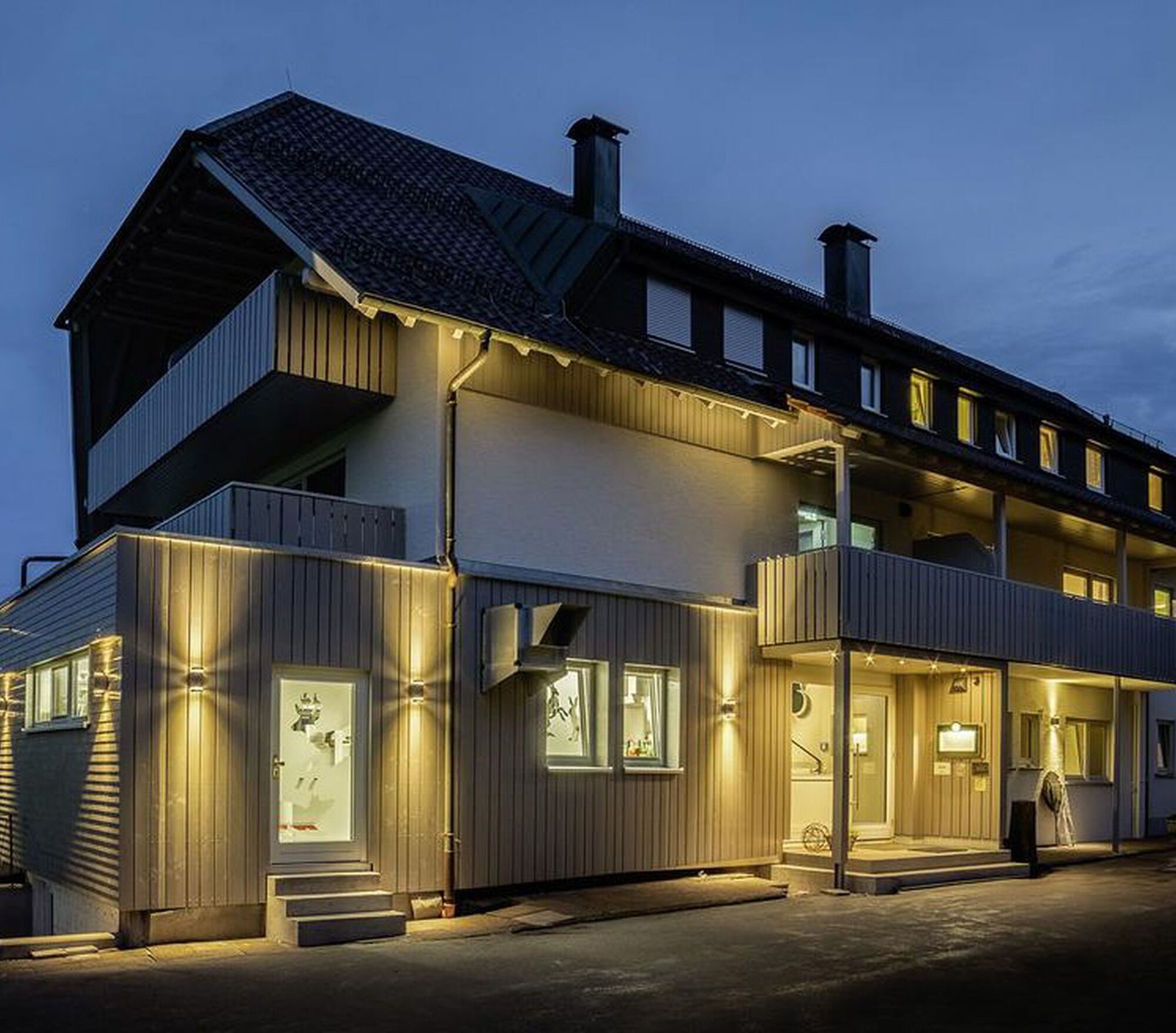
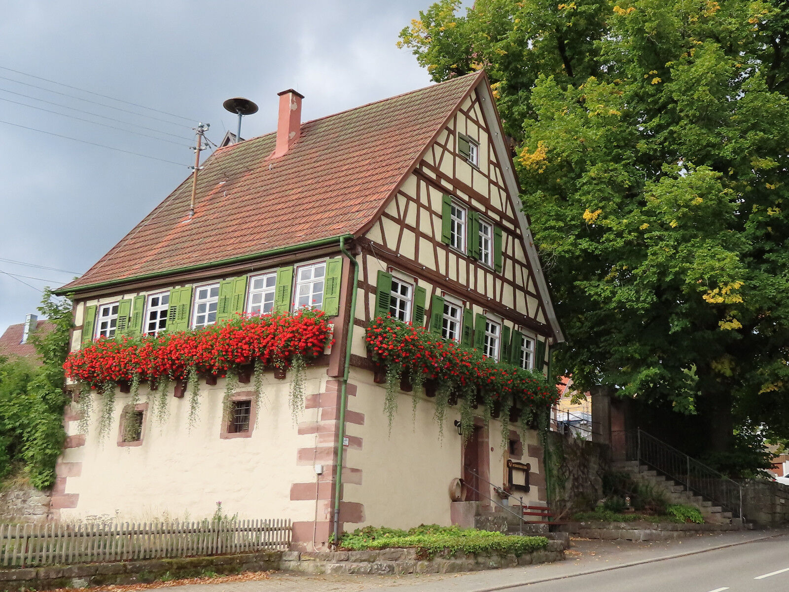
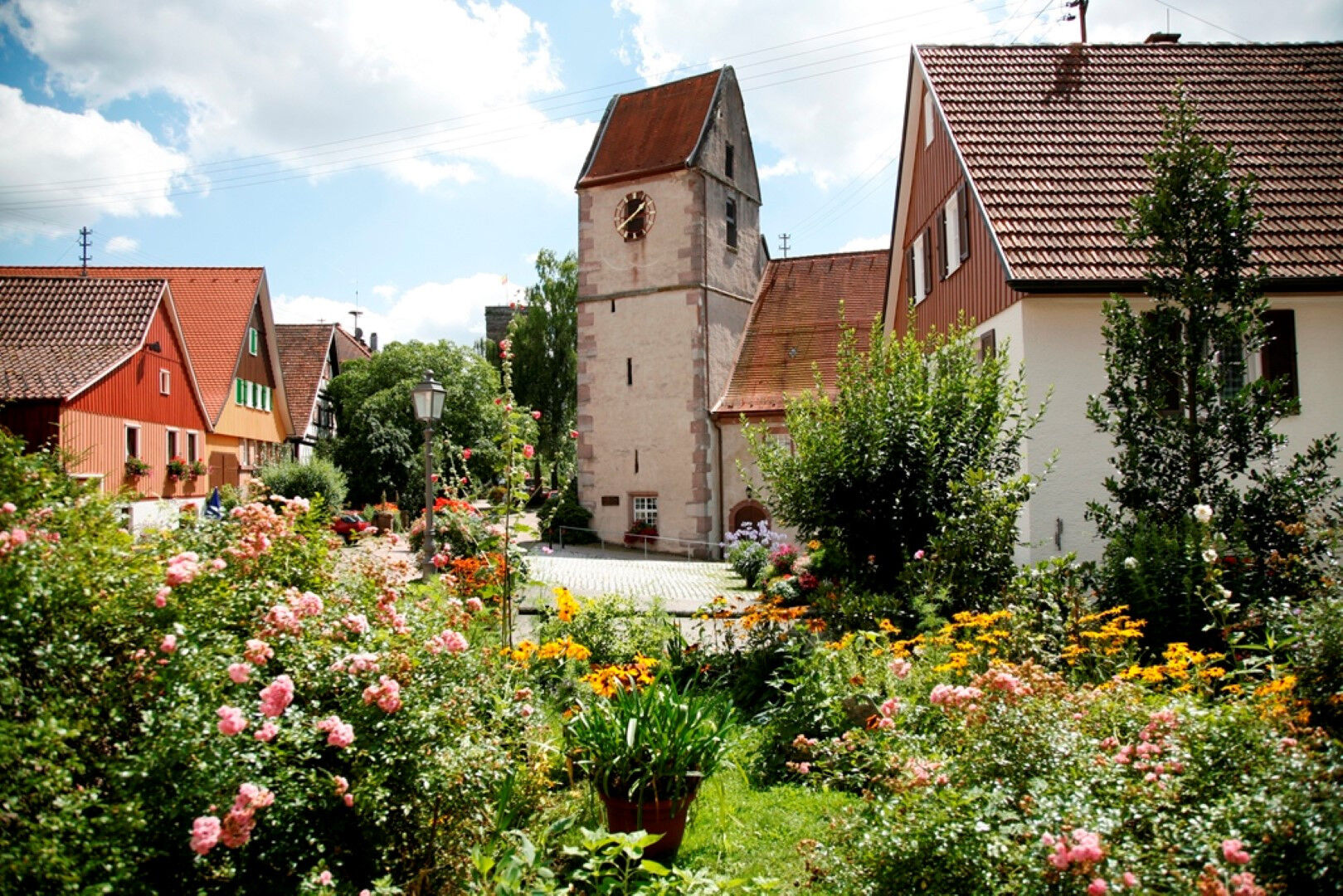
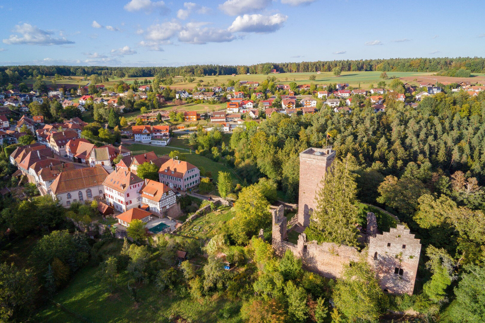
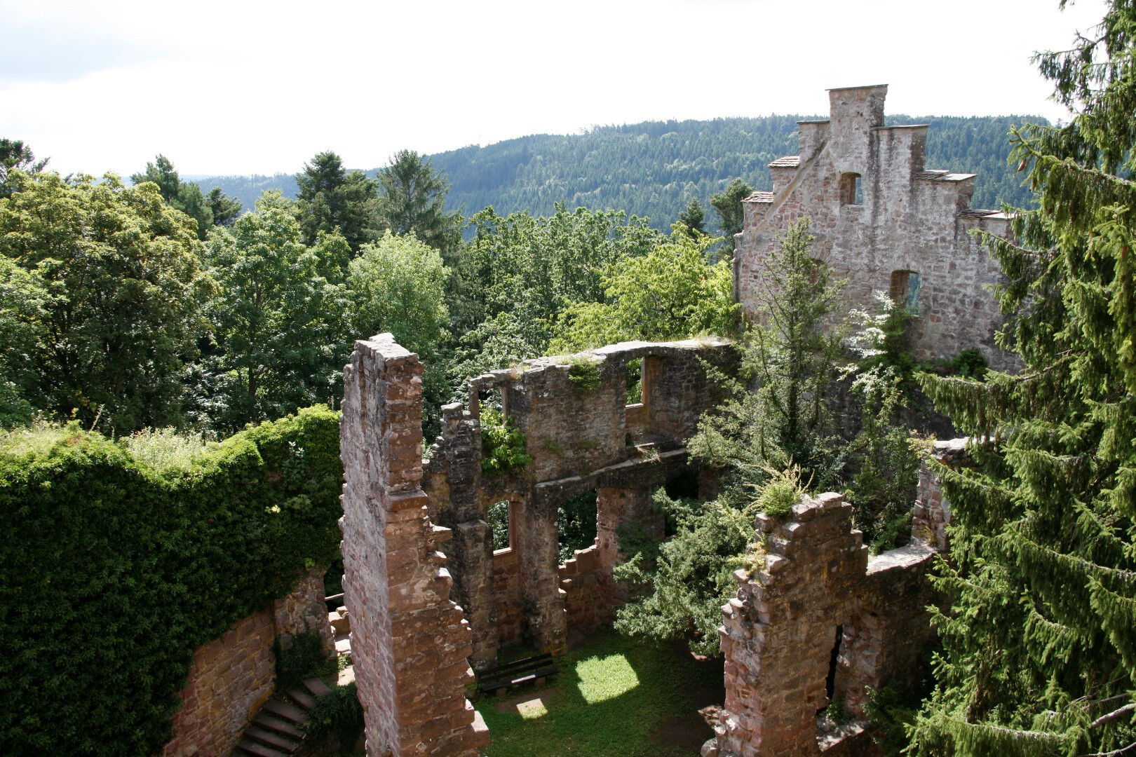
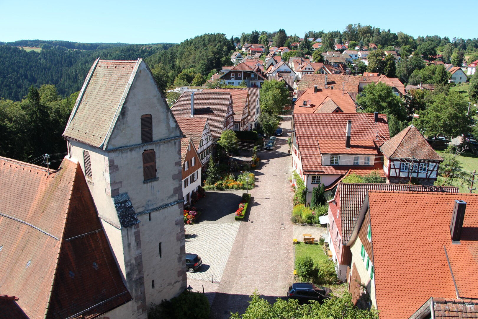
The circular route follows the little river Teinach to the romantically located Lautenbachhof and its game reserve. Via the glass mill, a sawmill where fir wood was formerly processed using the power of the Teinach, it goes uphill to the dreamy village Breitenberg. Here on the Enz-Nagold ridge, there is the opportunity to enjoy the view over the meadows and fields at the Hotel Sonnenhof during a refreshing break. Via the neighboring village Neuweiler, it passes by the source area of the Teinach, the Falchenwiesen nature reserve. A gentle babbling can apparently be heard everywhere in the moss-covered woodland. Via Agenbach – known for its winter cross-country ski trails – the panorama route leads through Wurzbach to Zavelstein, a charming half-timbered town with the picturesque castle ruins. The hiking lodge in Zavelstein promises culinary delights in the beer garden sheltered by stately trees before returning via Sommenhardt to the starting point.
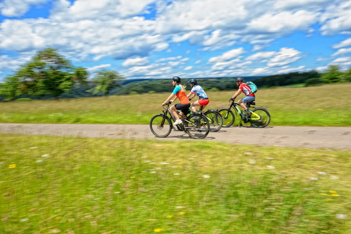

The route runs on the cycling network of the Calw district. The routes are marked with the FGSV signage, the white-green cycle signs. At intersections, there are signposts with local and long-distance destinations, and between the main signposts, you follow the intermediate signposts.
The following destinations serve as orientation points on the route:
Bad Teinach-Neubulach train station, Lautenbachhof, glass mill, Breitenberg, Neuweiler, Agenbach, Wurzbach, Zavelstein, Sommenhardt, Bad Teinach-Neubulach train station
Bicycle helmet, tire repair kit, provisions, map material
We recommend wearing a bicycle helmet.
A8 Karlsruhe, AS Pforzheim-West, B294 to Calmbach and B296 to Oberreichenbach, then L346 Bad Teinach;
A8 from Stuttgart, AS Leonberg, B295 towards Weil der Stadt, Calw, B463 Teinach train station.
A81 AS Herrenberg, B28 and B296 to Calw, B463 Teinach train station.
The Bad Teinach train station is located 3 km outside on the Nagold Valley Railway (cultural railway) from Pforzheim to Horb. On this railway line, modern railcars run hourly with connections to the InterRegio network in Pforzheim and the ICE and IC network in Karlsruhe. Good connections to all districts are guaranteed by the scheduled bus service to Bad Teinach-Zavelstein and the taxi service (Tel. 0 70 53 / 9 69 60). There is no ticket counter at Bad Teinach station. The next ticket counter is located at Calw station (Calw travel center, Bischofstraße 10 in 75365 Calw, telephone 07051 2355, service hours Monday to Friday 8:00 am to 6:00 pm). More information: www.bahn.de
On the homepage of the electronic timetable information Baden-Württemberg you can find bus and train connections related to local public transport. http://www.efa-bw.de
3
The bike routes in the Teinach valley lead you past breathtaking viewpoints. Discover our regional delicacies, from Black Forest ham, the well-known Teinacher water to Bad Teinacher noodles. Cultural highlights along the routes are, for example, the visitor mine in Neubulach or the town of Zavelstein with castle ruins.
Gastronomy on the route:
Café Zavel in Zavelstein
Hotel KroneLamm in Zavelstein
Bistro-Kiosk-Cafébar-Trafik at Bad Teinach-Neubulach train station
Every now and then it's worth enjoying nature during a break – wonderfully beautiful!
The cycling round runs on signposted cycle paths.
Uzyskaj wgląd Zawsze na żywo z ponad 9 500 kamer internetowych. bergfex Jako użytkownik Pro, możesz teraz zobaczyć odpowiednie kamery internetowe dla wielu wycieczek w aplikacji wycieczki od. Pozwala to na bezpośredni podgląd aktualnych warunków. Popularne wycieczki w okolicy
- 4,7
Hiking through the Monbach Gorge in search of the kingfisher
średniWędrówka 10,5 km - 5,0
Wild romantic Monbach Valley
światłoWędrówka 6,25 km - 4,7
Eyach round
średniWędrówka 7,84 km - 4,7
Through the wild romantic Schweinbachtal to the Bruderhöhle cave
średniWędrówka 13,8 km - 4,5
Wolfsschlucht and Fox Gorge
średniWędrówka 9,74 km - 5,0
Der Teinacher (Premiumweg & Genießerpfad)
średniWędrówka 12,0 km - 5,0
Water, Woods and Meadowtrail / Zavelstein > Calw (Premium trail & Genussweg)
ciężkiWędrówka 14,4 km - 5,0
From Bieselsberg into the wild Monbach valley - dream route on small paths
ciężkiWędrówka 18,0 km - 5,0
AugenBlick route Bad Teinach-Zavelstein Zettelberg
ciężkiWędrówka 15,5 km - 5,0
Rundwanderweg Sulzkar
średniWędrówka 12,4 km

Wędrówki i tropienie


Nie przegap ofert i inspiracji na następne wakacje
Twój adres e-mail została dodana do listy mailingowej.





