


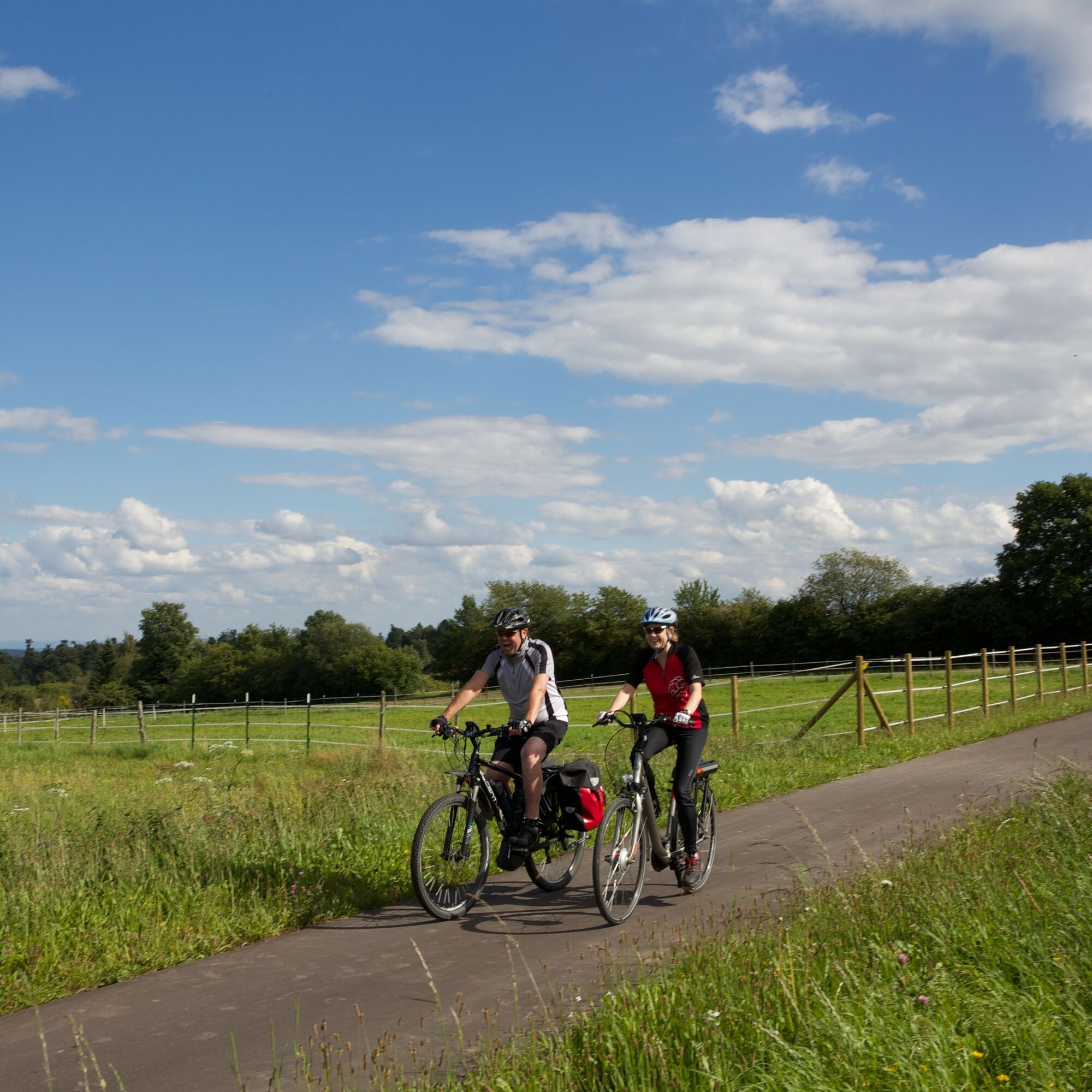
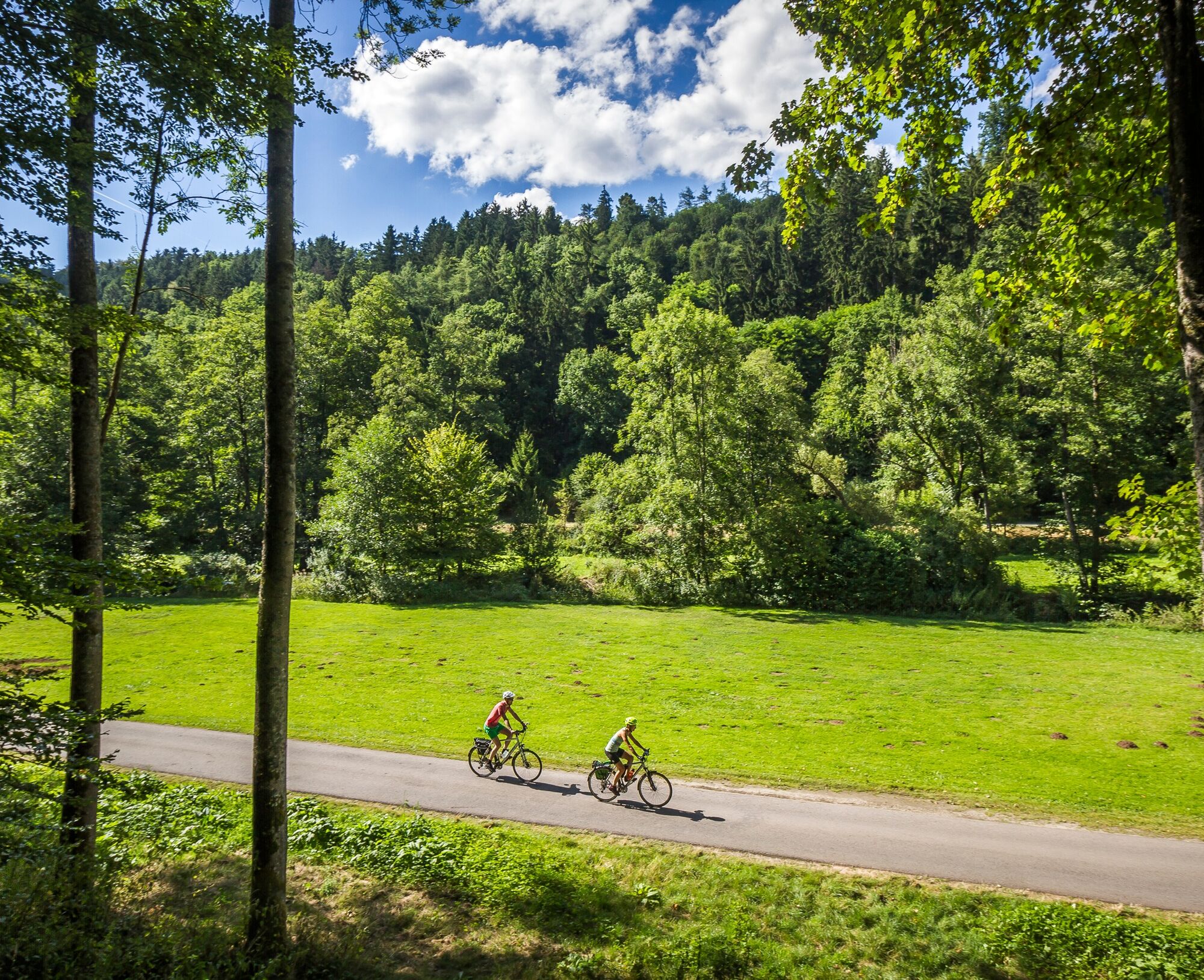
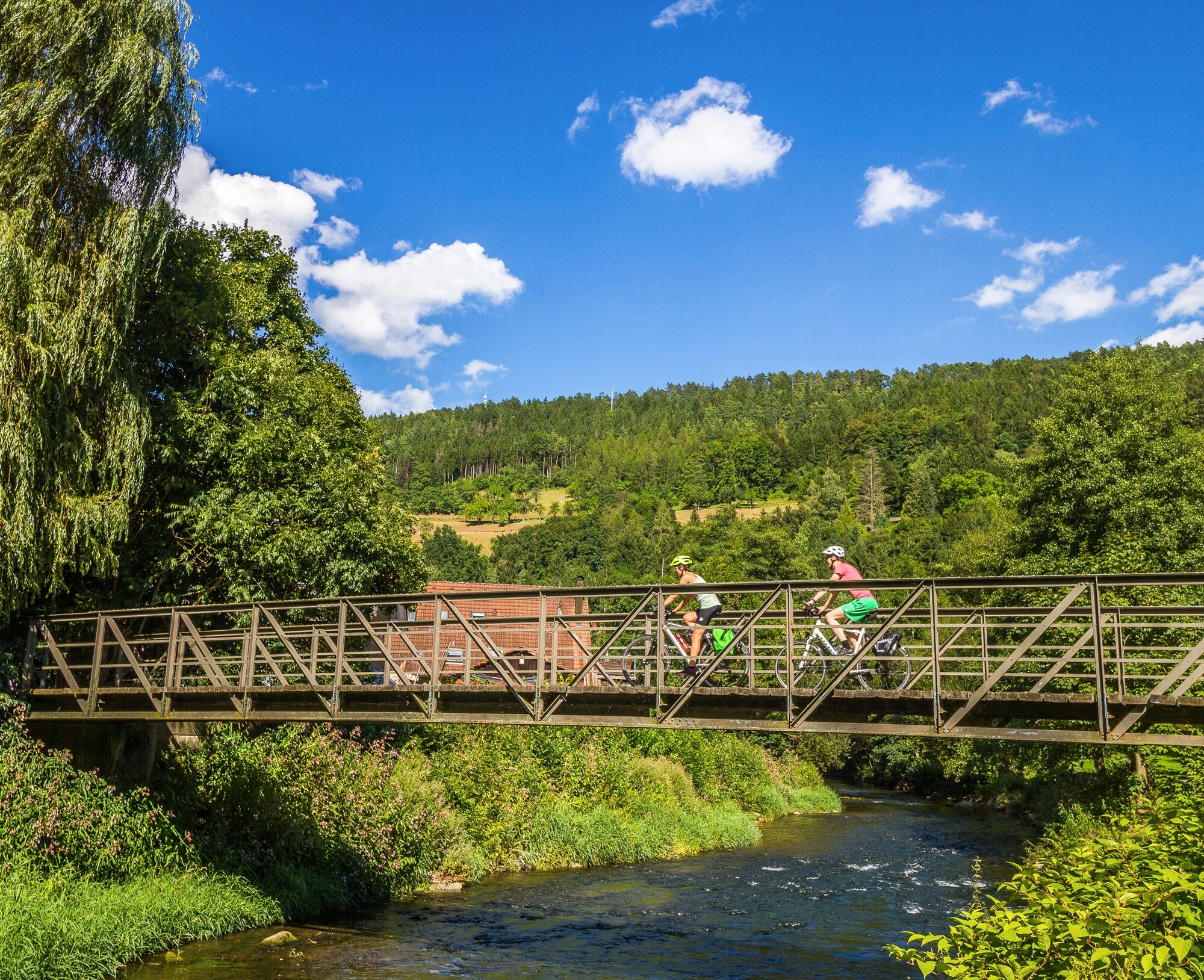
Picturesque 3-day e-bike tour through the Northern Black Forest
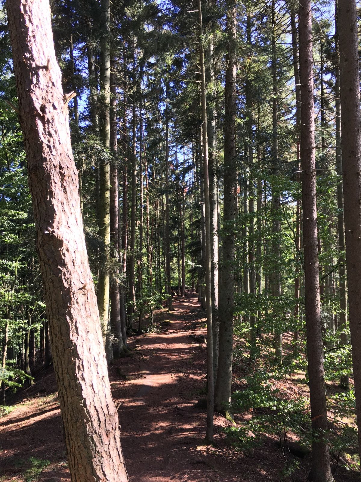
The e-bike tour leads mostly on signposted cycle paths, including the Nagold and Enz Valley cycle paths.
Starting in Bad Liebenzell, highlights along the way include the Hirsau Monastery, the Hermann Hesse...
The e-bike tour leads mostly on signposted cycle paths, including the Nagold and Enz Valley cycle paths.
Starting in Bad Liebenzell, highlights along the way include the Hirsau Monastery, the Hermann Hesse town of Calw, the shepherd town Wildberg, and Nagold with its castle ruins and the wonderful Kleb city park. The first day's stage ends in Altensteig with its charming half-timbered backdrop and the castle overlooking the old town.
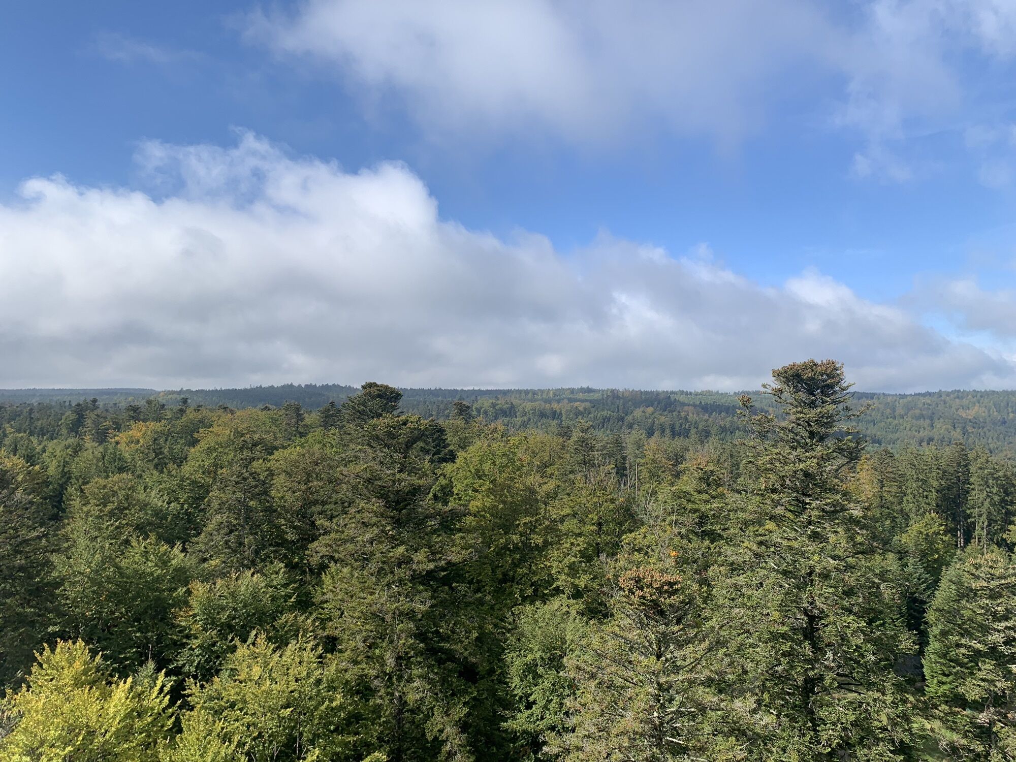
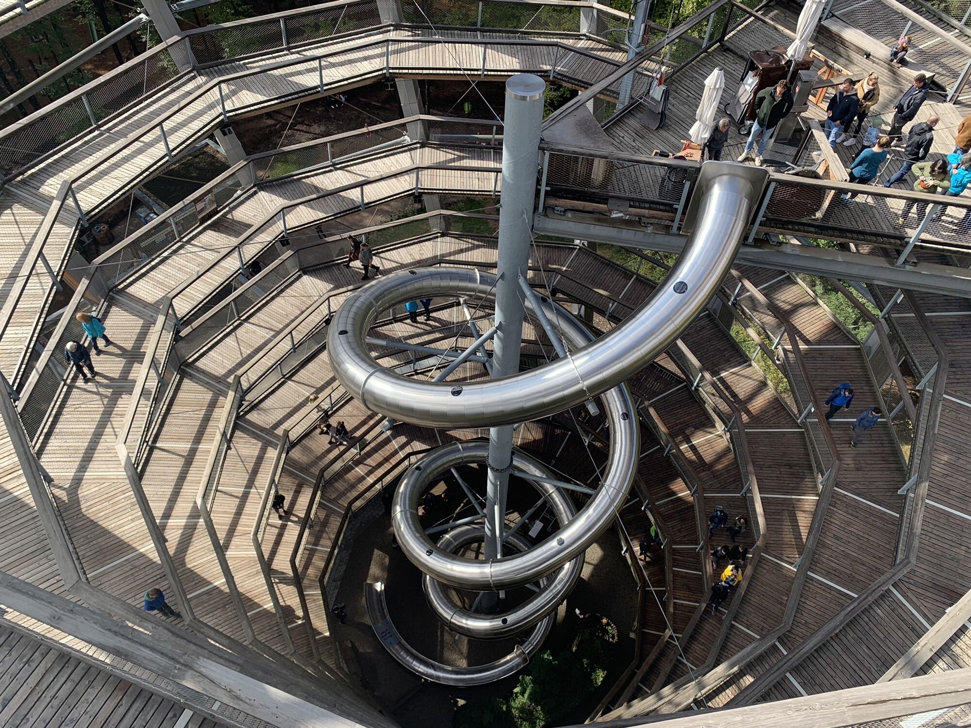
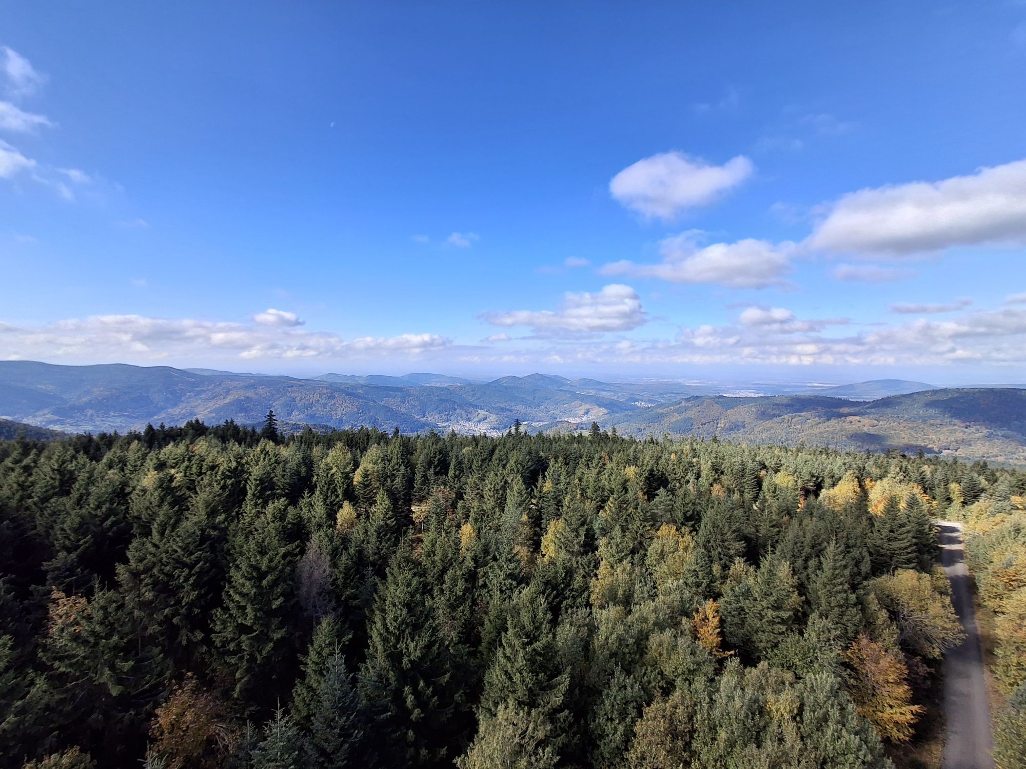
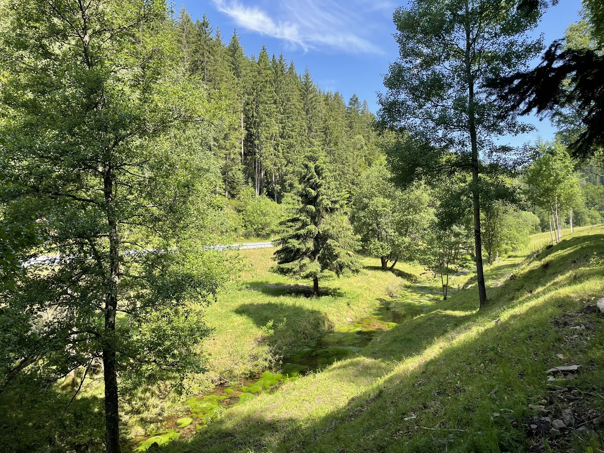
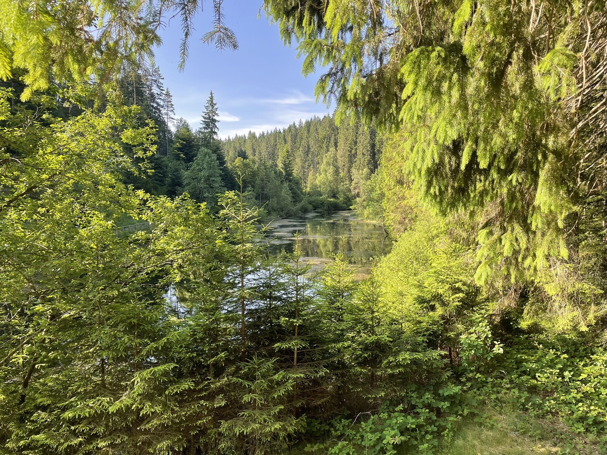
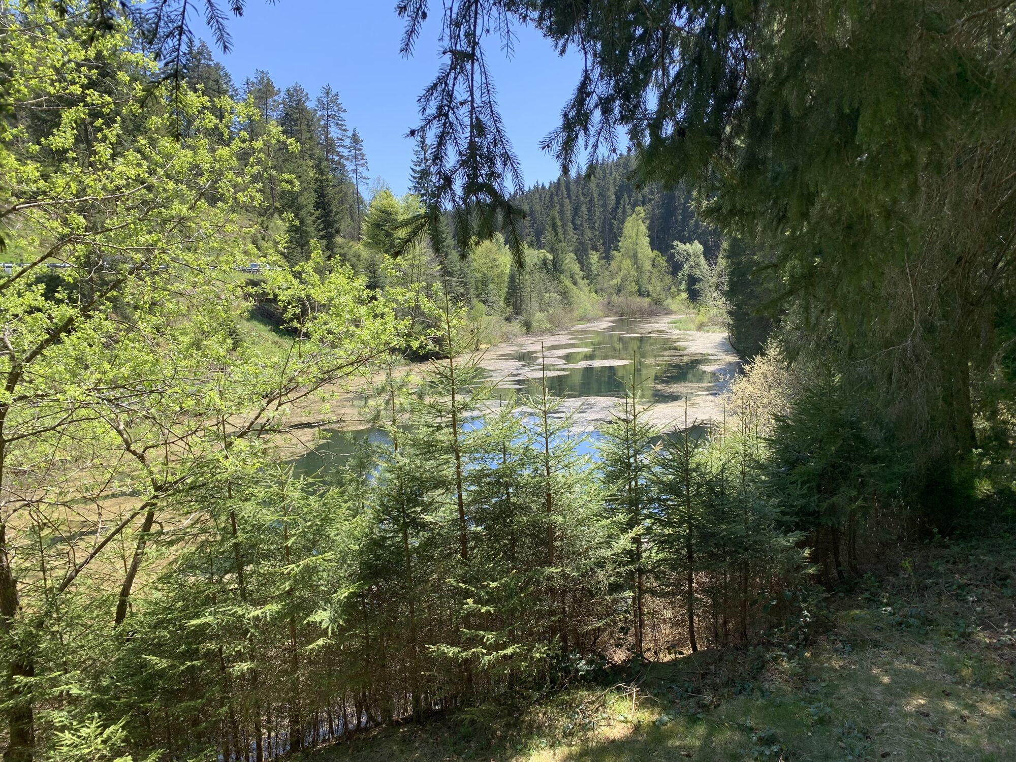
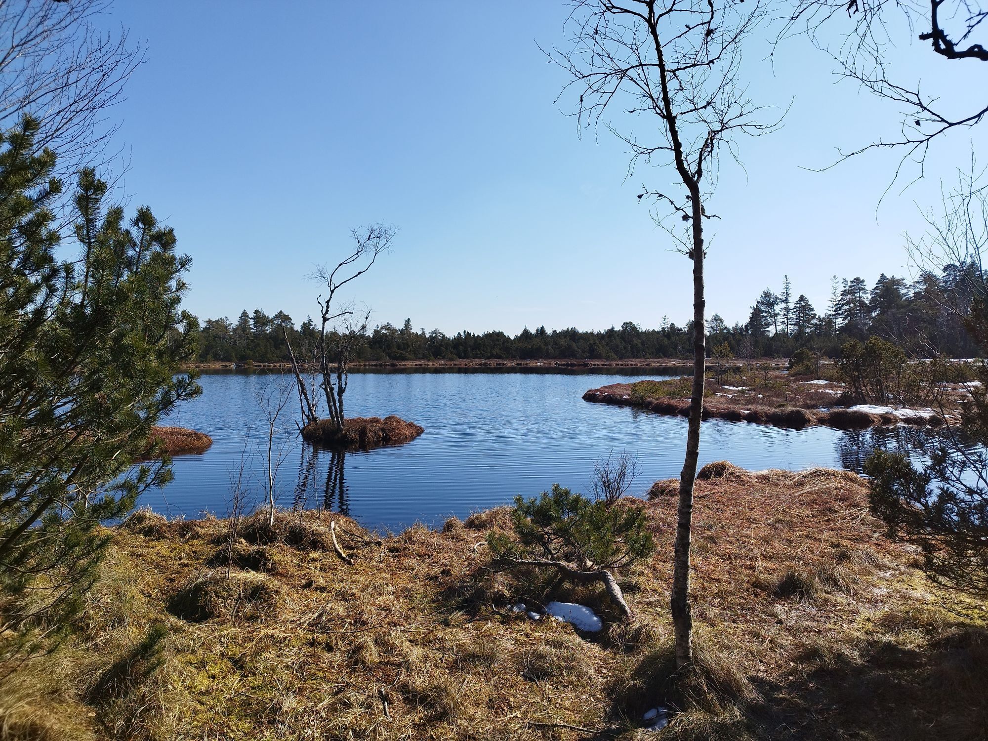
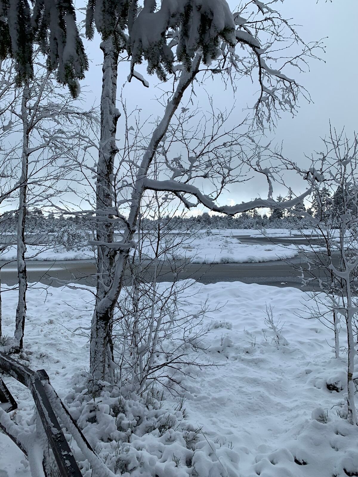
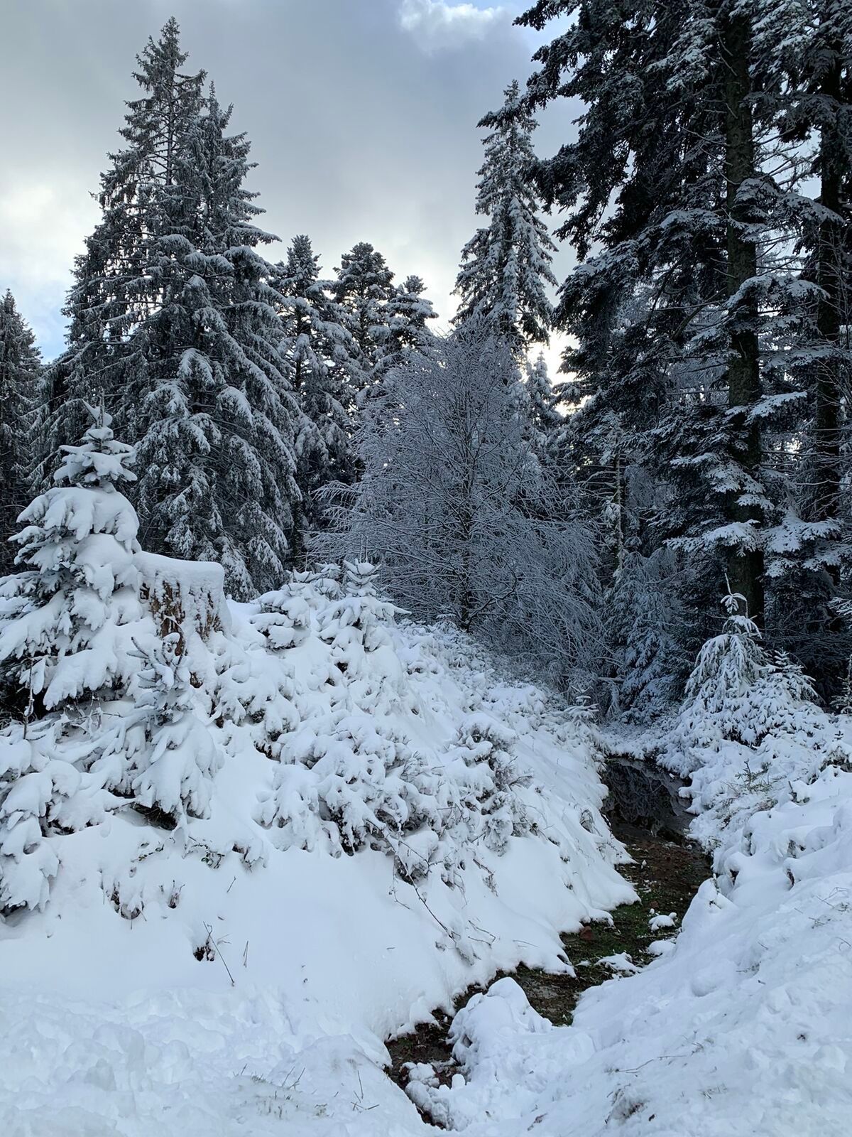
The second cycling day passes the natural highlight Erzgrube, a Nagold reservoir that invites you to linger. Further highlights: source of the Enz, the Kaltenbronn nature reserve with observation tower and moors, the Sommerberg with treetop path and WildLine, as well as the cable car ride down to Bad Wildbad. Afterwards, the last cycling kilometers lead to Höfen an der Enz.
The third cycling day takes you via Schömberg and the Eulenbach Valley back down to the Nagold Valley and upstream to Bad Liebenzell. The idyllic spa park and the thermal baths round off the 3-day tour perfectly.
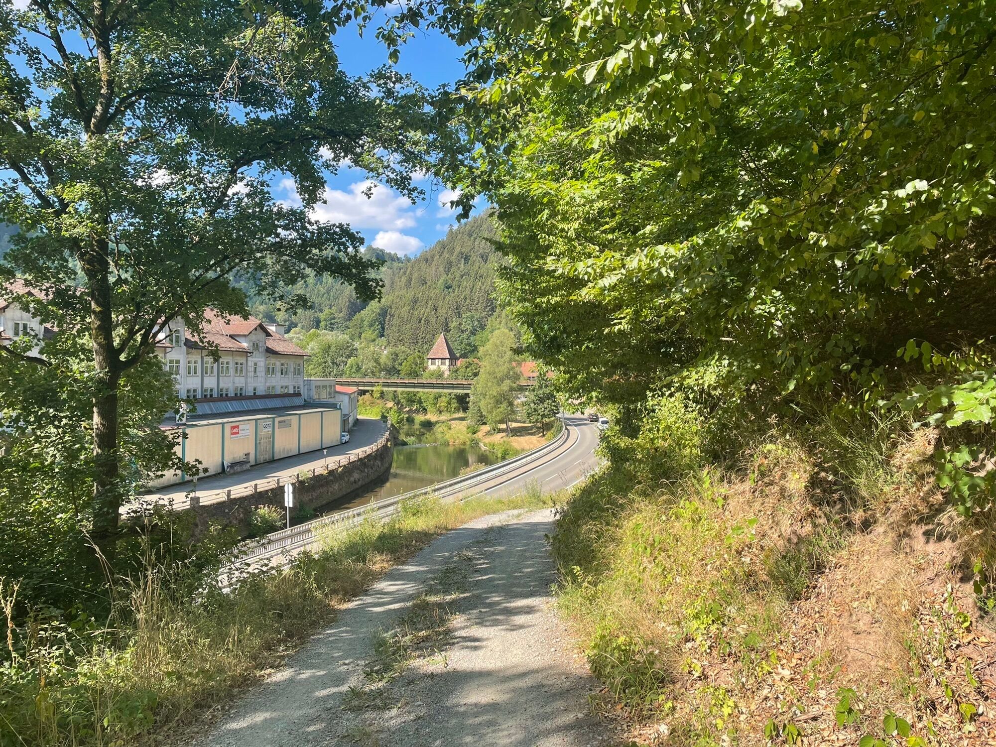
Starting from the train station in Bad Liebenzell, follow the cycling logo (green/white) of the Nagold Valley cycle path. The route gently goes uphill, then gently downhill through the village of Ernstmühl to the first highlight, the Hirsau Monastery. A small detour from the Nagold Valley cycle path to the Hirsau Monastery and its café invites you to take a break.
Continuing to follow the marking of the Nagold Valley cycle path, you reach the Hermann Hesse town of Calw with its beautiful pedestrian zone and picturesque half-timbered houses (attention: push-bike passage through the pedestrian zone).
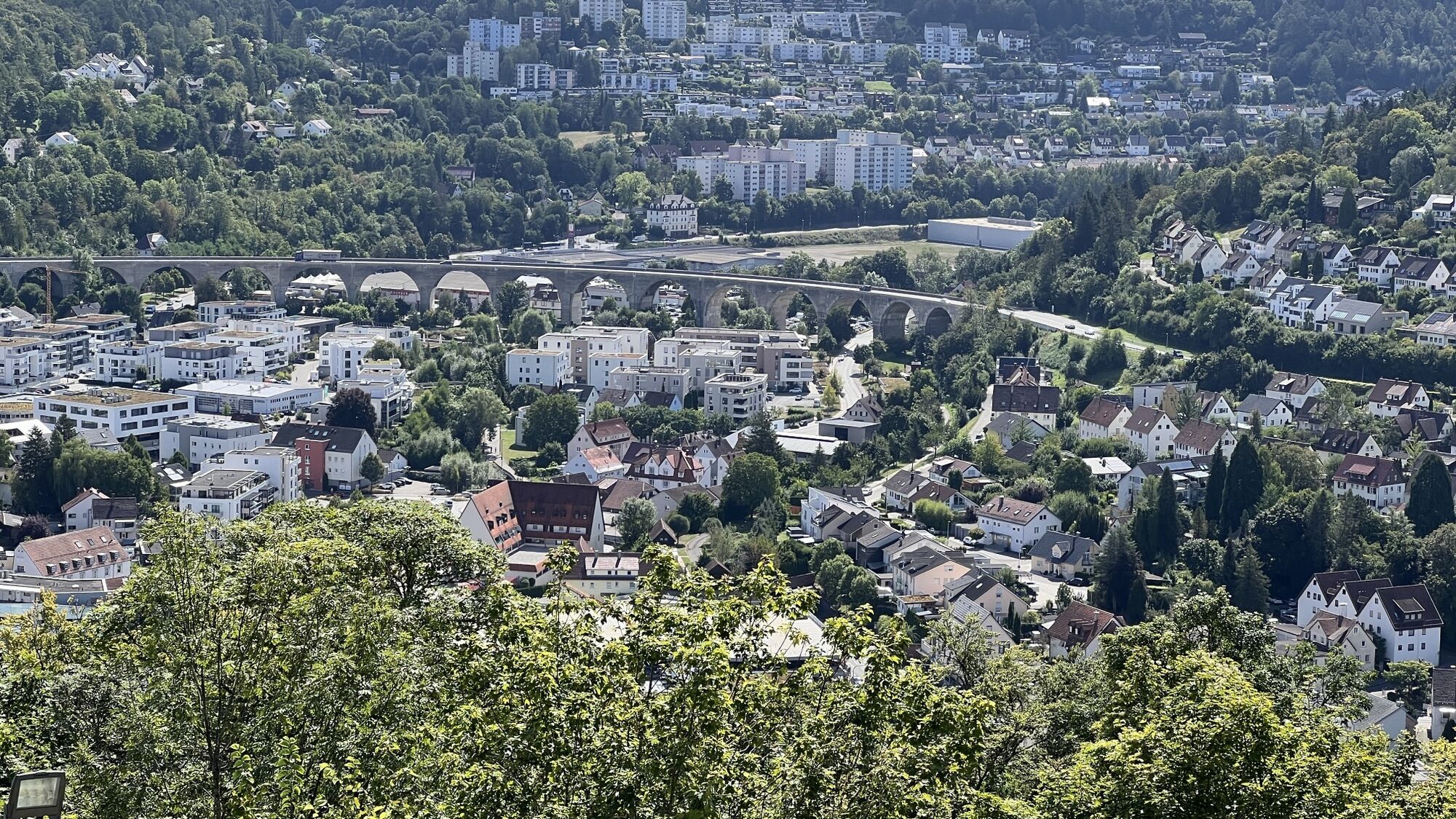
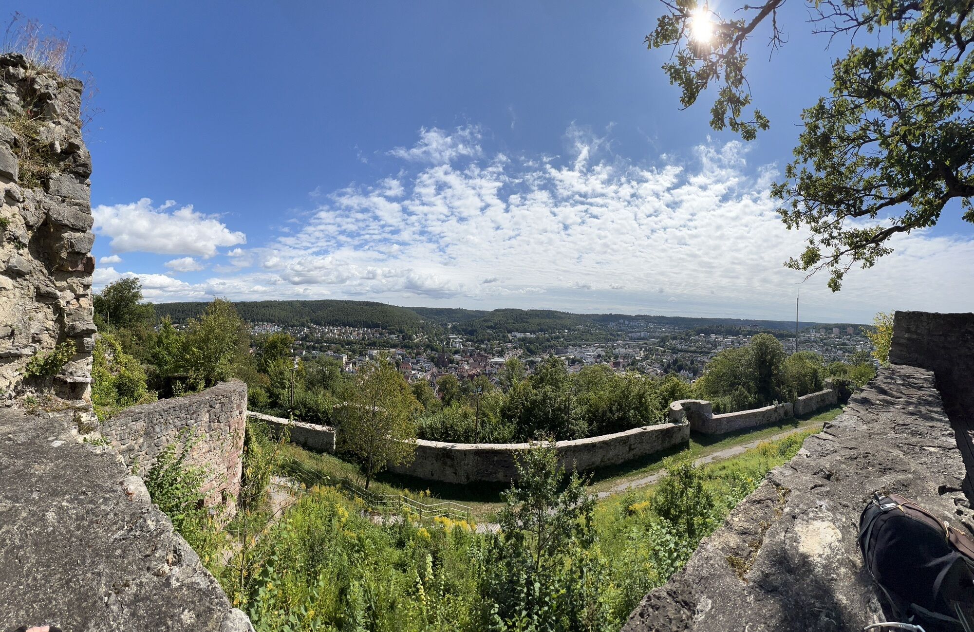
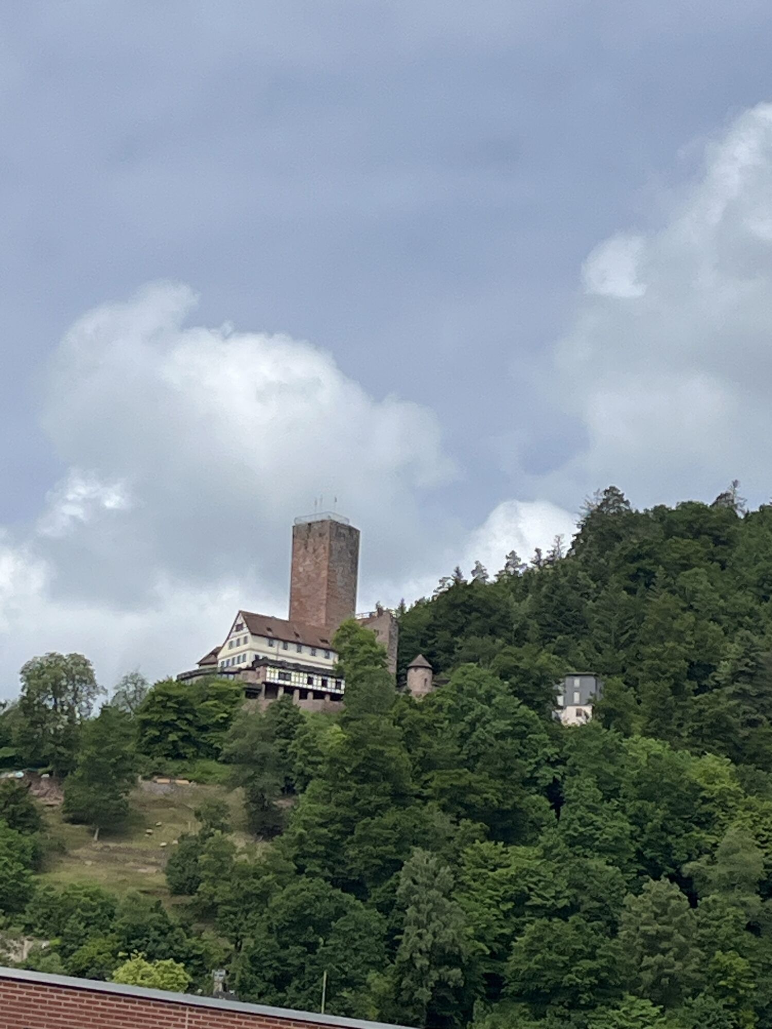
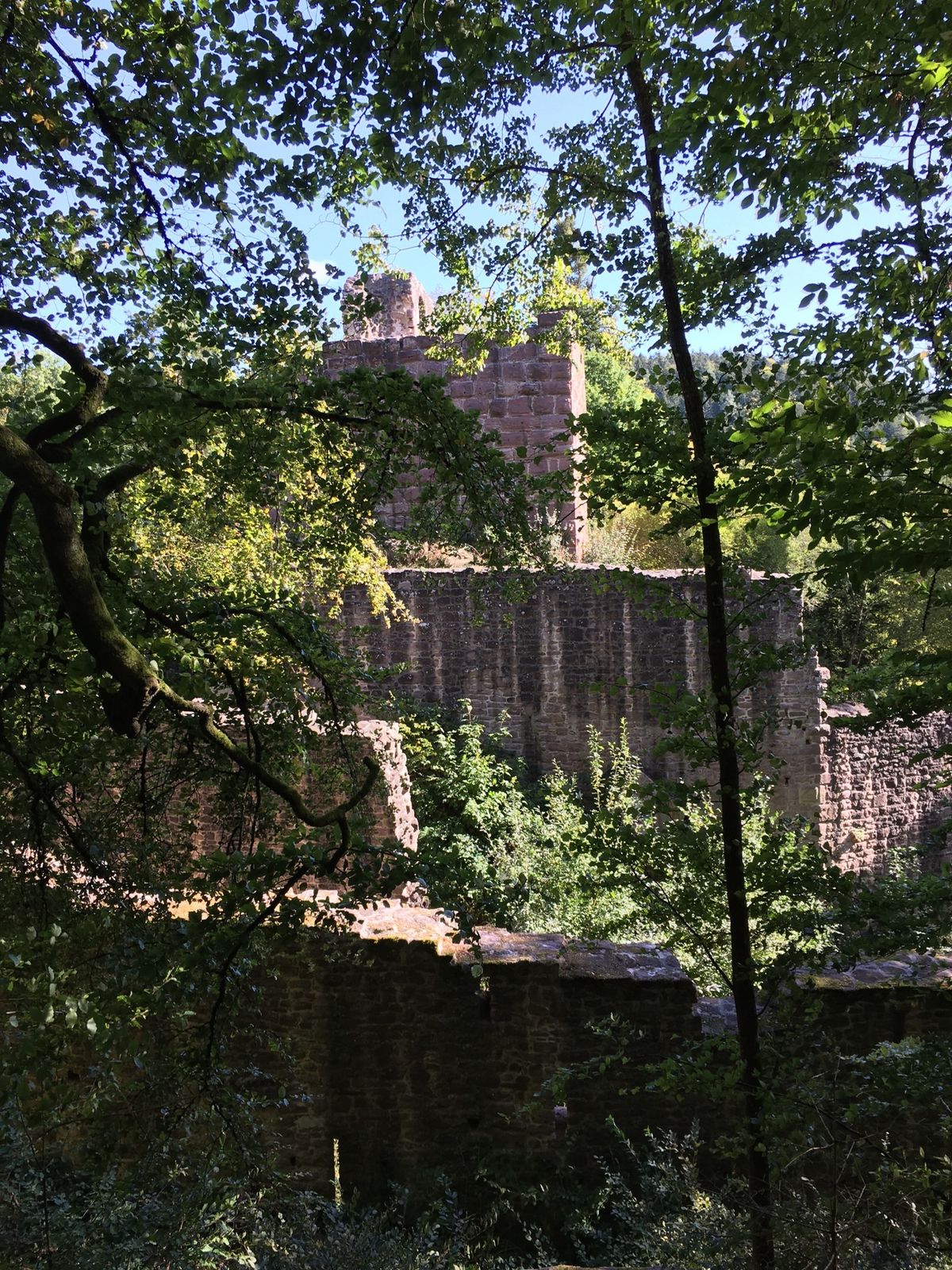
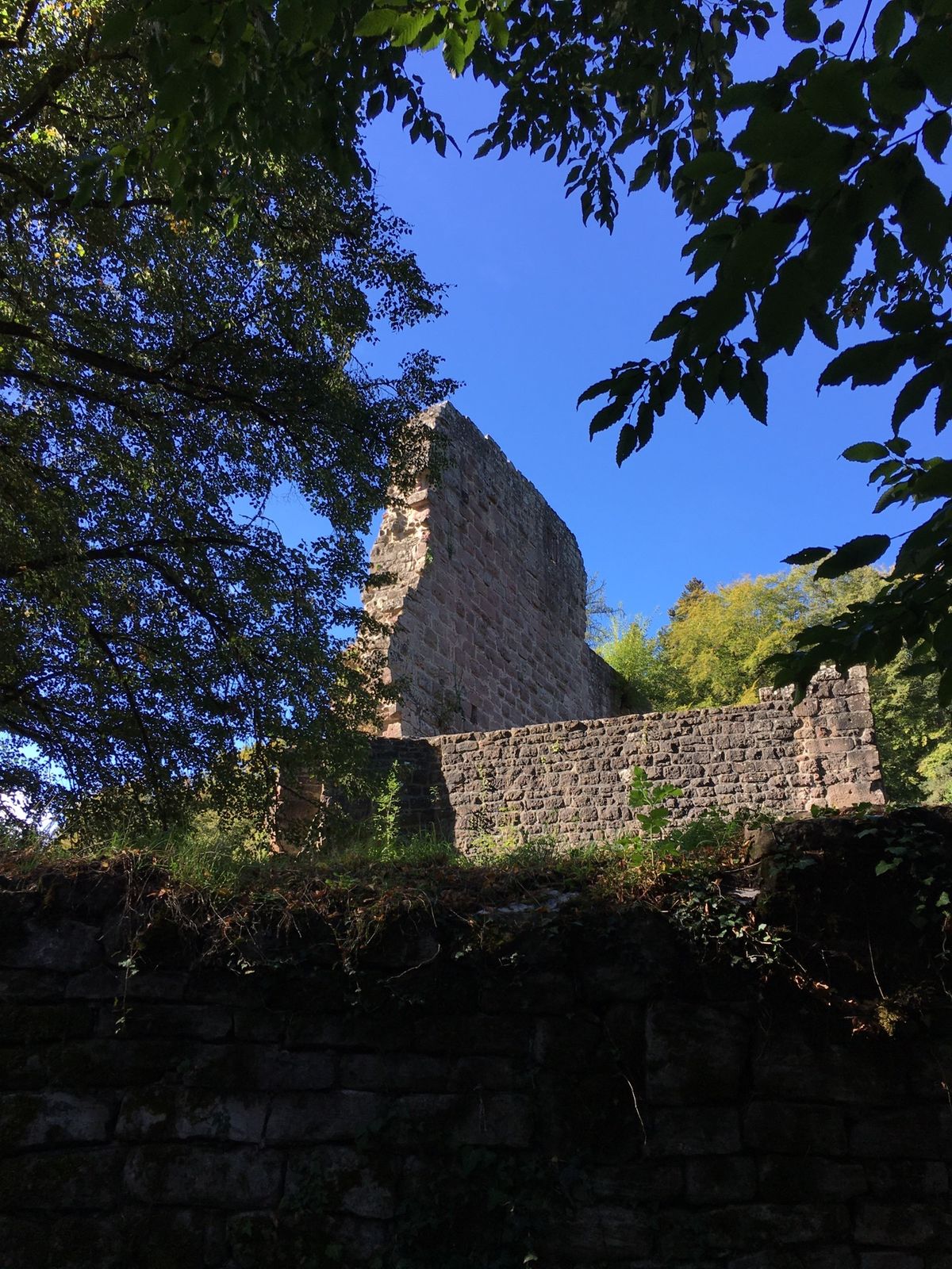
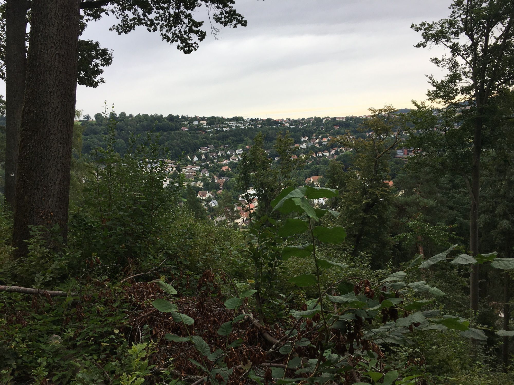
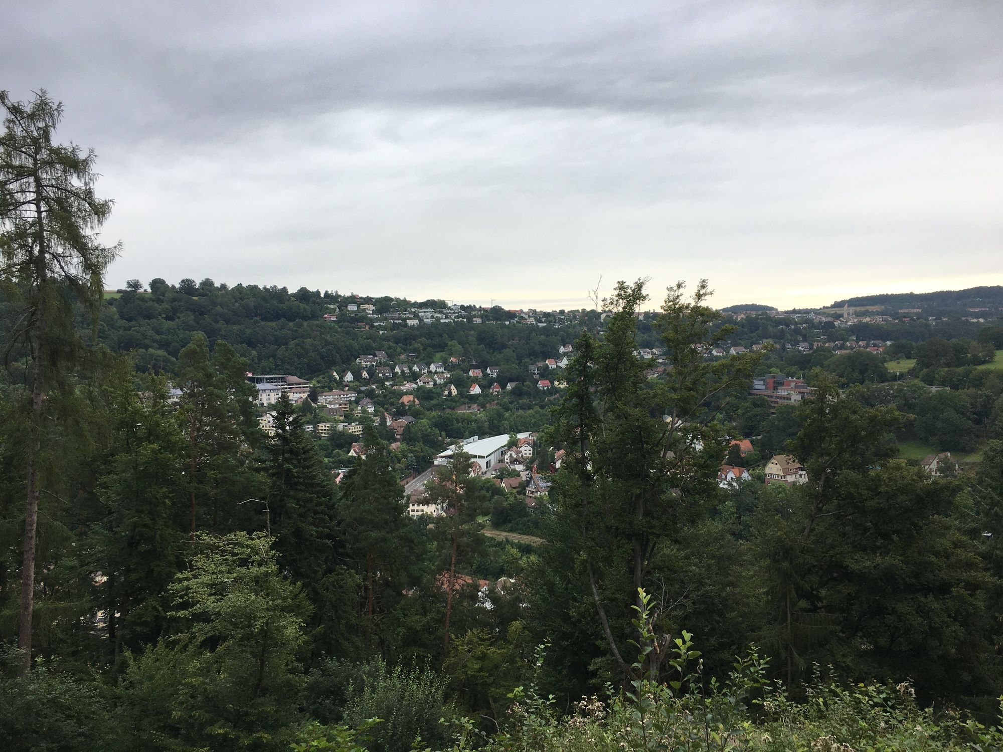
We continue to follow the course of the Nagold River and reach the shepherd town of Wildberg. Past the Maria Reuthin Monastery, the route continues uphill along the Nagold Valley. In the town of Nagold we leave the Nagold Valley cycle path for a short detour to Hohennagold Castle, where a great view of the town and the picturesque surroundings with Nagold Valley and Waldachtal awaits us.
From the castle, the Nagold Valley cycle path leads downhill through Rohrdorf and Ebhausen to Altensteig. Here we also leave the valley cycle path to better view the wonderful old town scenery from the viewing platform. Once back in town, an exciting visit to Altensteig Castle can be planned before tackling the last elevation gains of the first day's stage to the Bett+Bike Country Inn Hirsch in Altensteig Überberg.
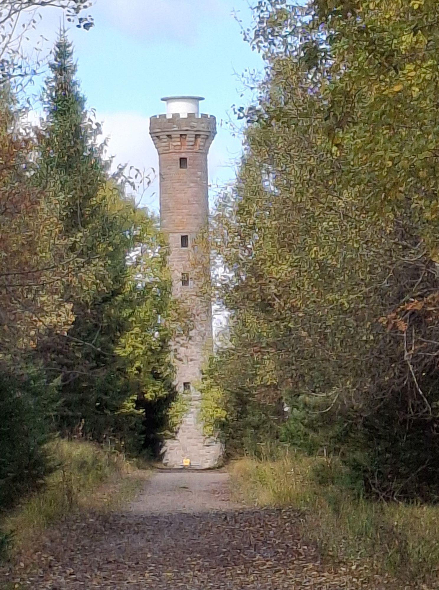
Day two leads over Heselbronn and Beuren and returns to the Nagold Valley cycle path. Past the Pfaffenstube, it goes to the Erzgrube reservoir, where you can refresh wonderfully. Next, the route descends towards Göttelfingen into the Poppeltal. From Gompelscheuer, a new river cycle path, the Enz Valley cycle path, begins. We follow this to Rohnbach, where our tour turns left and ascends to the viewpoint at the Hohlohturm (Kaiser Wilhelm Tower).
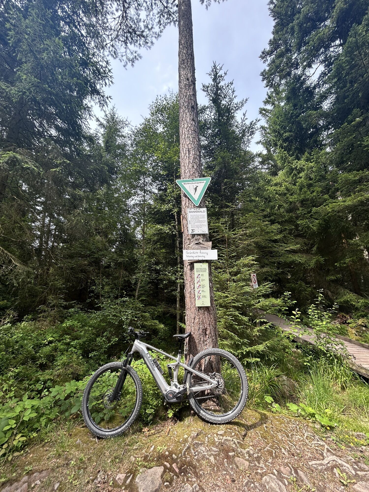
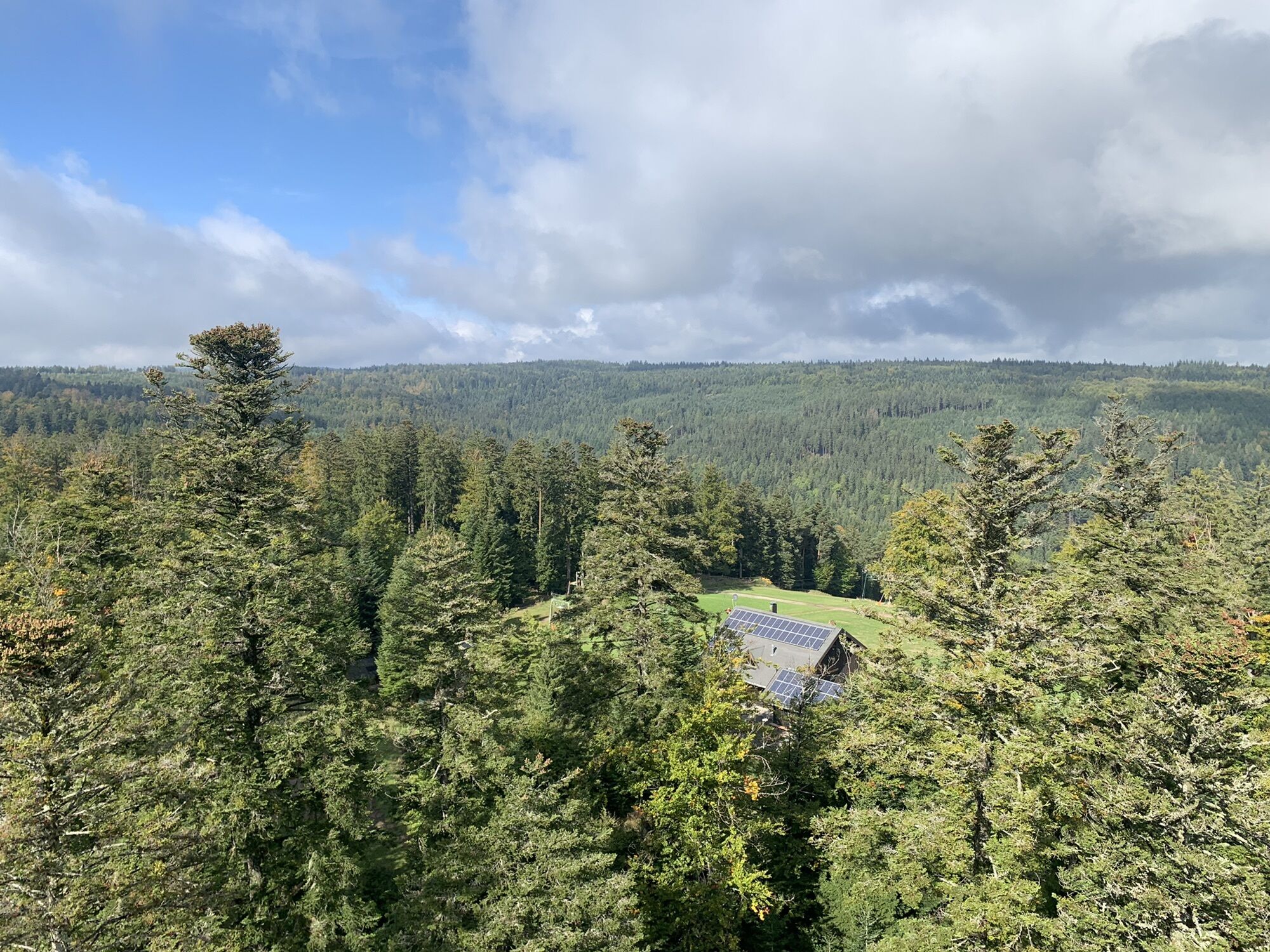
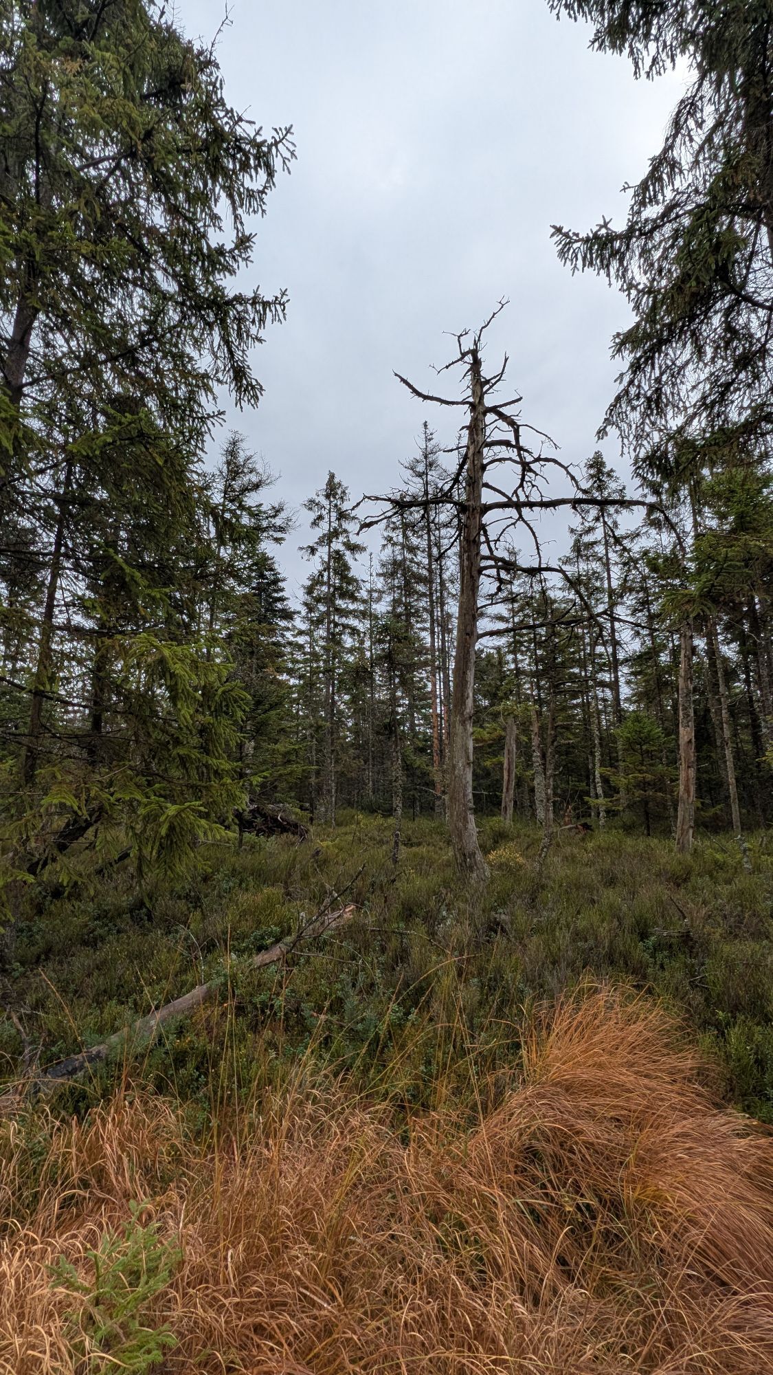
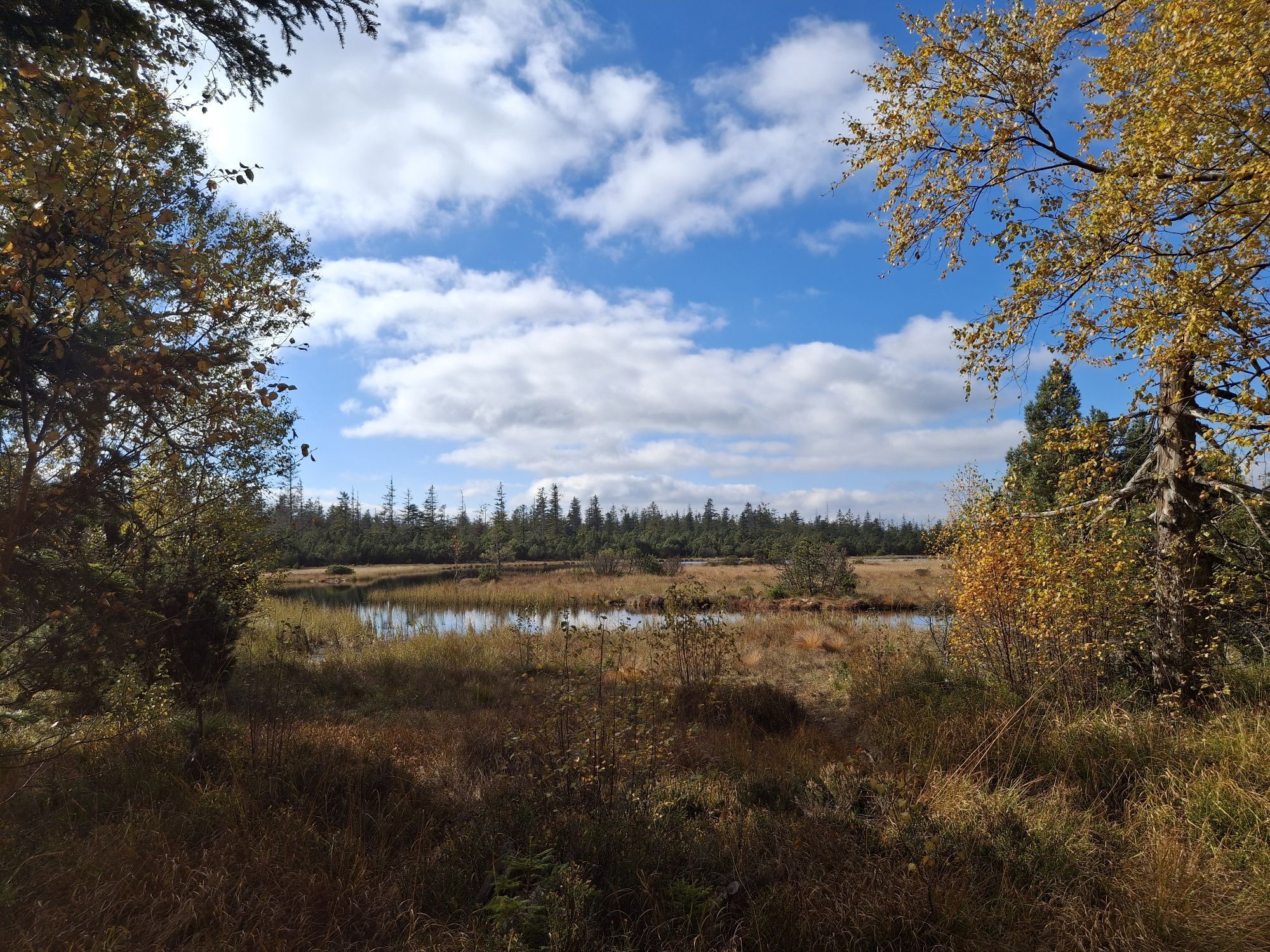
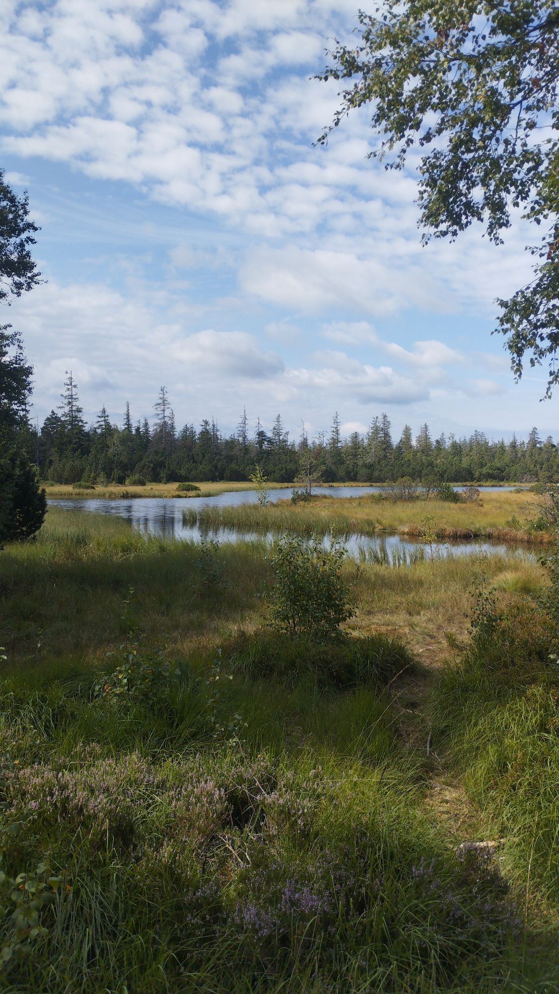
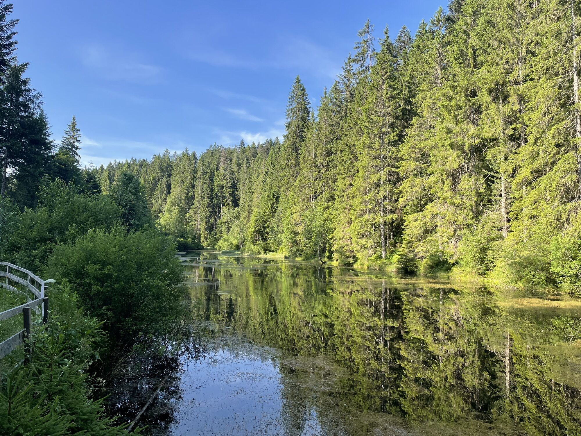
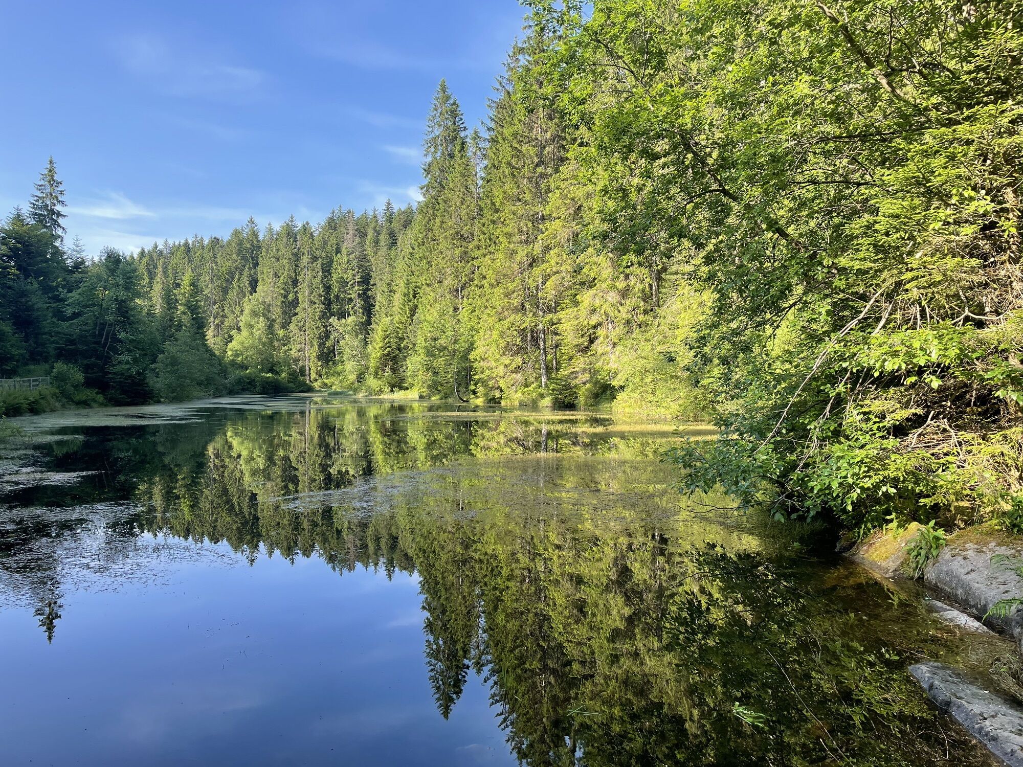
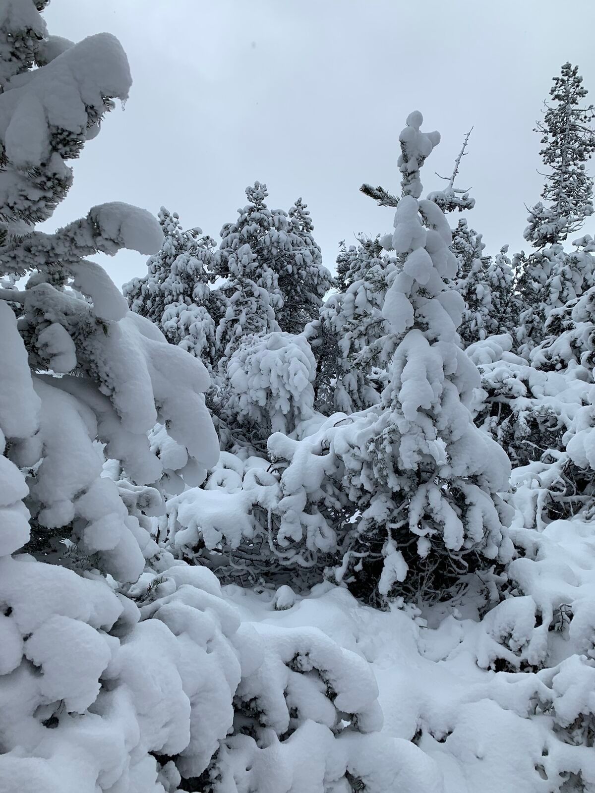
From the Hohlohturm, the route passes the Hohlohsee towards the Kaltenbronn information center, then past the wildlife enclosure to the next natural highlight, the Wildsee. If you feel hungry now, you won't have to wait long because delicious regional dishes await hungry cyclists and hikers at the Grünhütte.
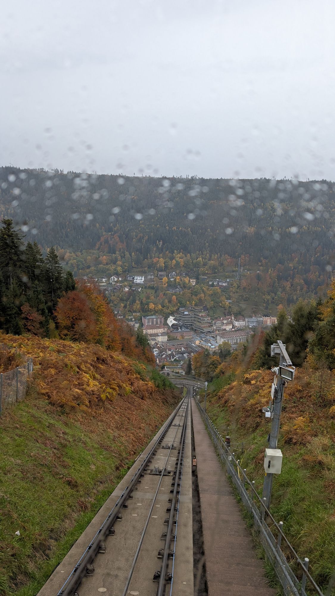
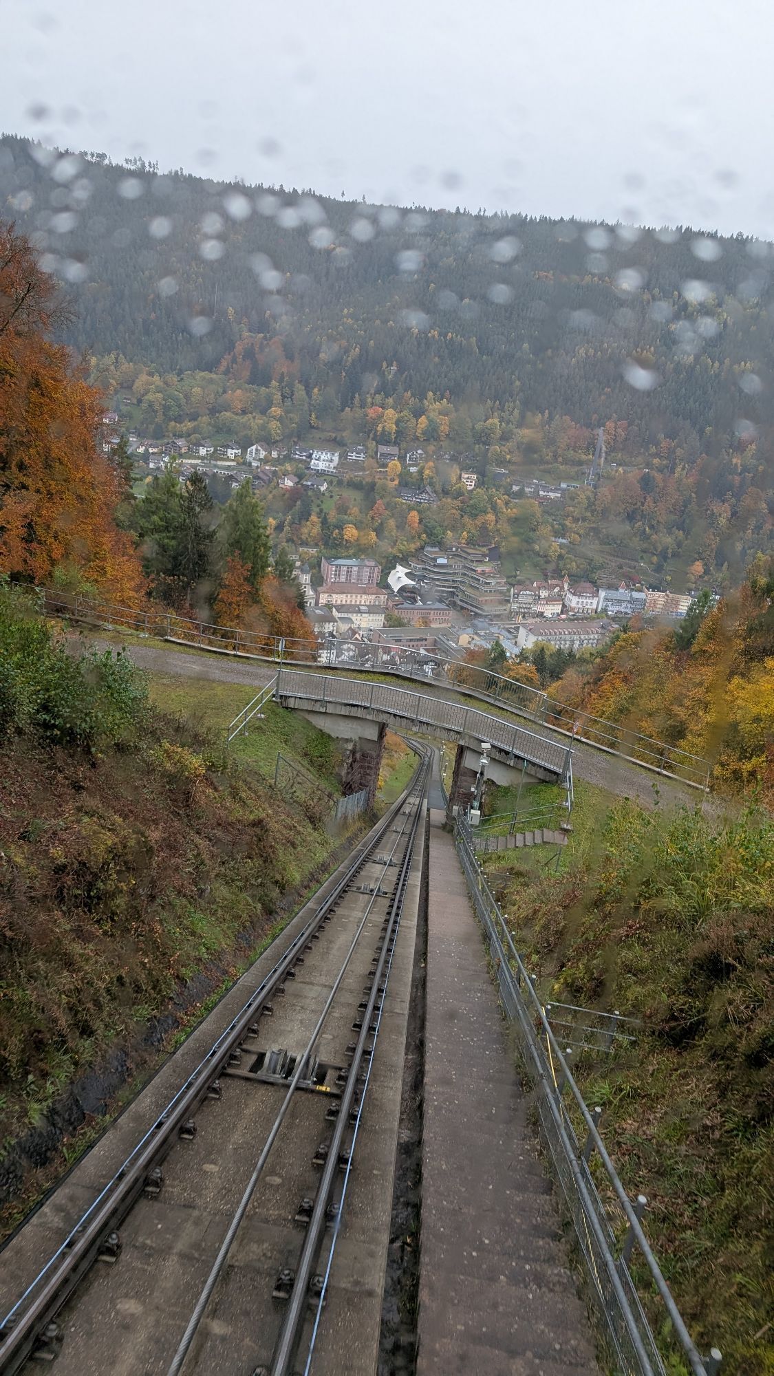
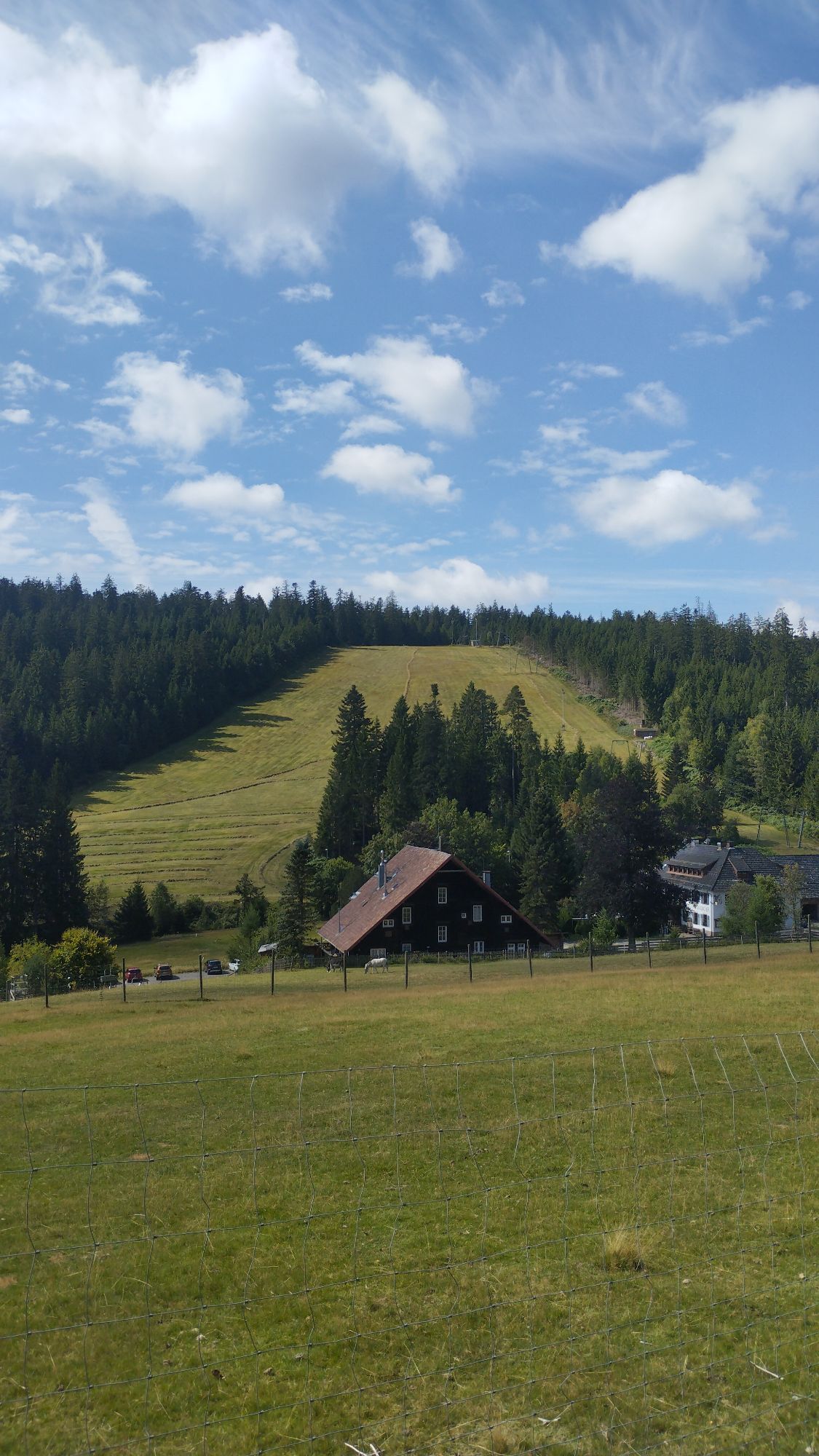
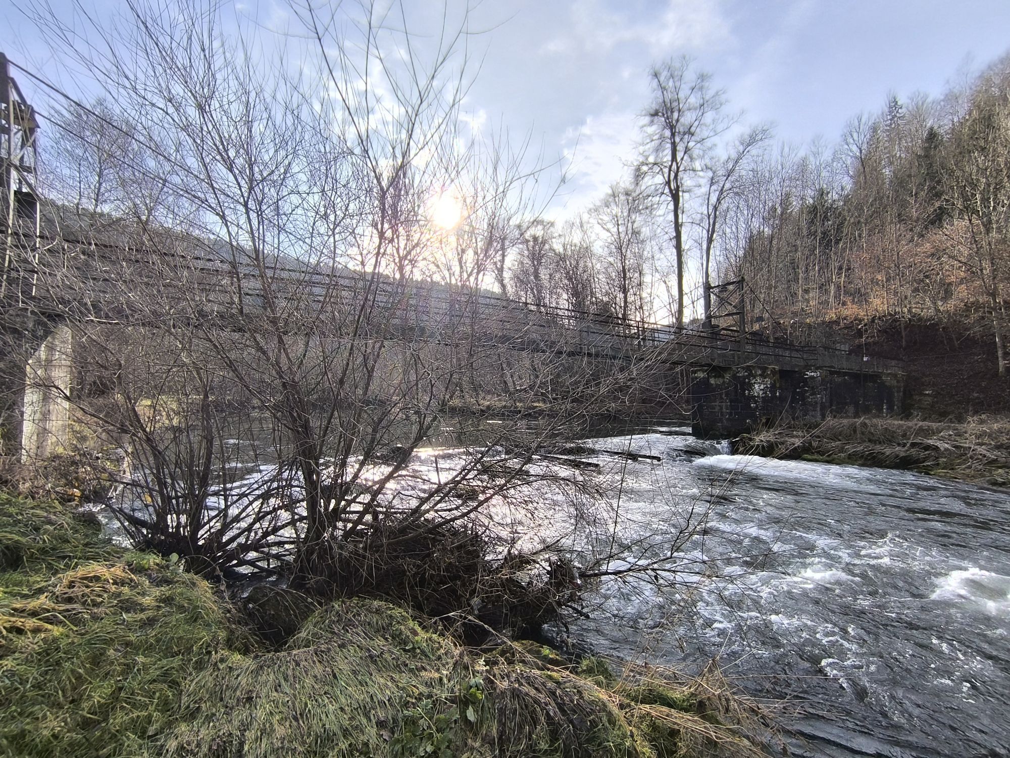
From the Grünhütte, the tour continues to the Sommerberg and down to Bad Wildbad. The Sommerberg cable car can be used for this descent. You arrive in the middle of the royal spa and bath town. Then we meet the Enz Valley cycle path again and follow it towards Calmbach and then further to Höfen, where our second day's stage ends at the Bett+Bike Hotel Ochsen.
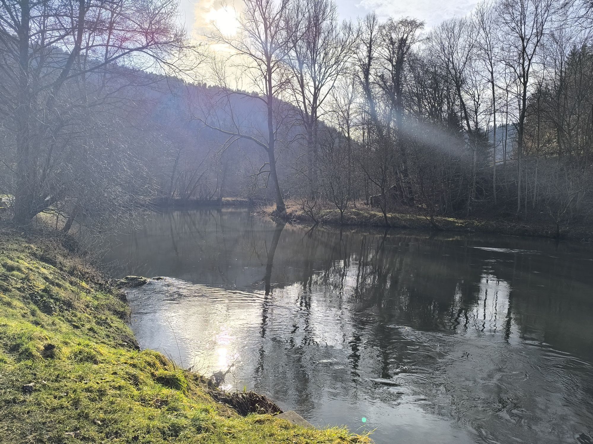
The third and final day entails a short stage. It goes from Höfen along the Forellenbach up to Langenbrand and later through the Eulenbach Valley to the Nature Park inn Mönchs Waldhotel, where a break can be taken. Afterwards, it goes downhill into the Nagold Valley to Dennjächt and then back on the well-known Nagold Valley cycle path to the starting point of the tour at Bad Liebenzell.
Tak
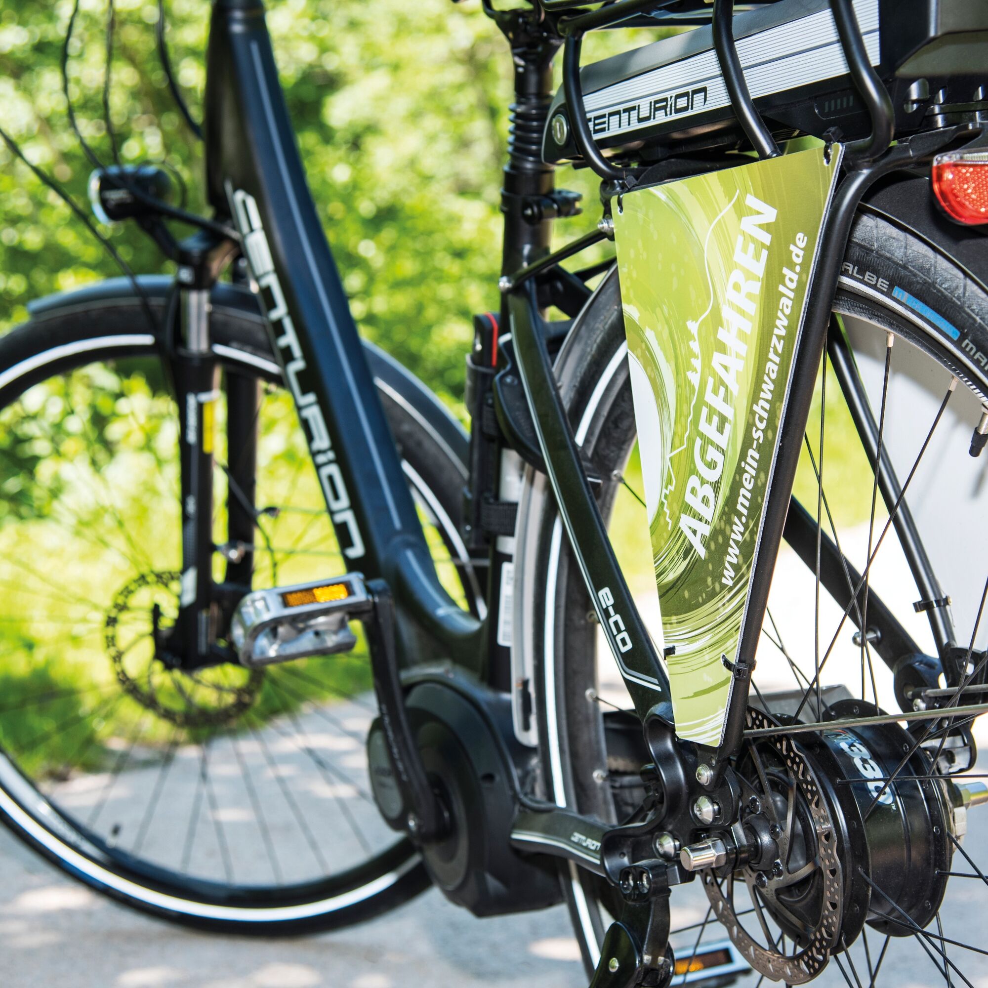
Roadworthy bicycle Backpack with provisions Weather-appropriate clothing This tour is suitable for the following bicycles: e-bike-pedelec (normal and MTB), MTB hardtail, trekking bike The tour is actually designed for the e-bike. Here and there, extra elevation gains must be tackled to reach viewpoints and attractions off the cycle path, which is more enjoyable with an e-bike!
The traffic regulations (StVO) apply
Helmet is mandatory
The traffic safety obligation lies with individual municipalities
Please carry your ID card (France)
The second day stage is relatively sporty; you should watch the range of the e-bike battery and avoid continuous high assistance while cycling.
Via the A8
Exit Pforzheim West (Pforzheim East exit also possible) onto B463 towards Calw
Exit Leonberg onto B295 towards Weil der Stadt
Via the A81
Exit Herrenberg onto B296 towards Calw
Culturbahn (Pforzheim - Horb - Tübingen)
From Pforzheim via Unterreichenbach to Bad Liebenzell
From Tübingen or Horb via Calw to Bad Liebenzell
Line S6
From Stuttgart to Weil der Stadt, then by bus (Line 880) to Bad Liebenzell
Parking at Paracelsus Thermal Baths
Parking at Kurhaus
This tour is not marked with a specific cycling logo. Please use a suitable bike map, our Northern Black Forest cycling experience flyer, and the available GPS data for the tour.
Since the tour is designed as a circular route, you can choose the starting point at several locations. Bad Liebenzell offers a very suitable starting point due to the public transport connection via the Culturbahn from Pforzheim to Horb, and because e-bikes are also available for rent in Bad Liebenzell.
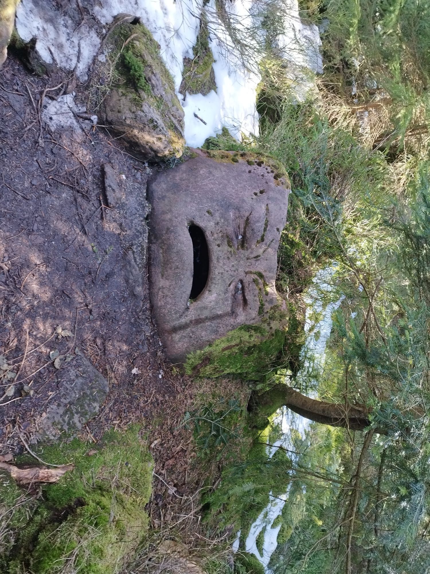
The wooden plank path through the Wildsee Moor Kaltenbronn: Here you have to push your bike, but this way you have more time to enjoy the magnificent nature!
Popularne wycieczki w okolicy
-
4,7
Eyach round
średniWędrówka 7,84 km -
4,0
Wolfsschlucht and Fox Gorge
średniWędrówka 9,74 km -
4,7
Through the wild romantic Schweinbachtal to the Bruderhöhle cave
średniWędrówka 13,8 km -
4,2
Kaltenbronn Circular Route No. 1 - Wildsee Moor Loop
światłoWędrówka 8,30 km -
5,0
Der Teinacher (Premiumweg & Genießerpfad)
średniWędrówka 12,0 km -
4,7
premium hiking trail Enzquellenpfad
średniWędrówka 19,9 km -
3,0
Dobel High-Altitude Route
średniWędrówka 11,8 km -
4,3
Nature experience tour Kaltenbronn
średniWędrówka 14,2 km -
5,0
Water, Woods and Meadowtrail / Zavelstein > Calw (Premium trail & Genussweg)
ciężkiWędrówka 14,4 km -
5,0
AugenBlick route Bad Teinach-Zavelstein Zettelberg
ciężkiWędrówka 15,5 km
Wędrówki i tropienie


Nie przegap ofert i inspiracji na następne wakacje
Twój adres e-mail została dodana do listy mailingowej.