







Cycling between Nagold, Teinach, and Kleiner Enz

Poziom trudności: 1
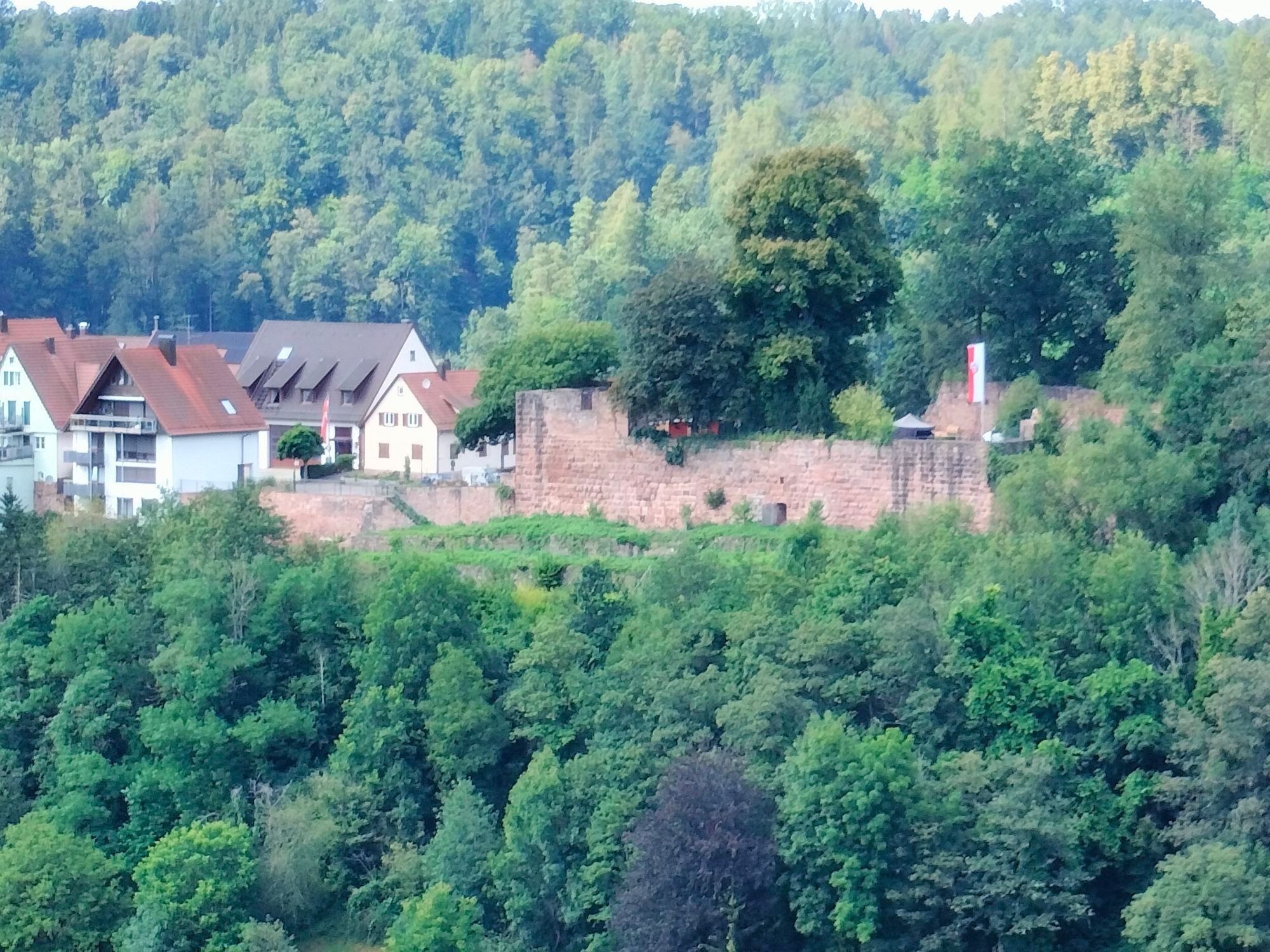
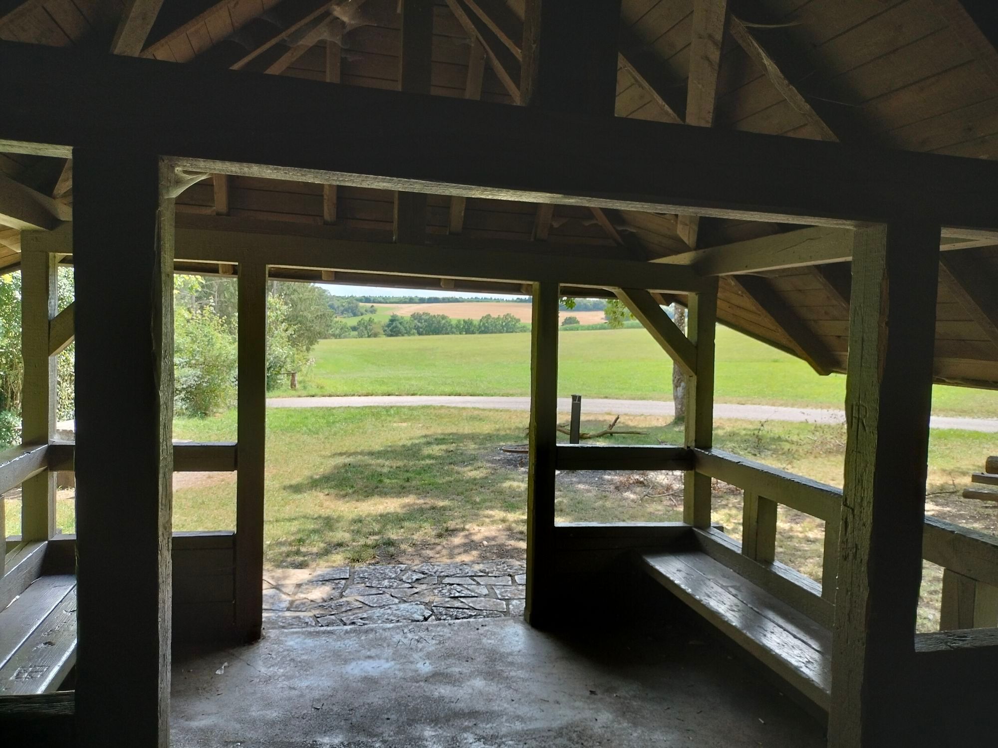
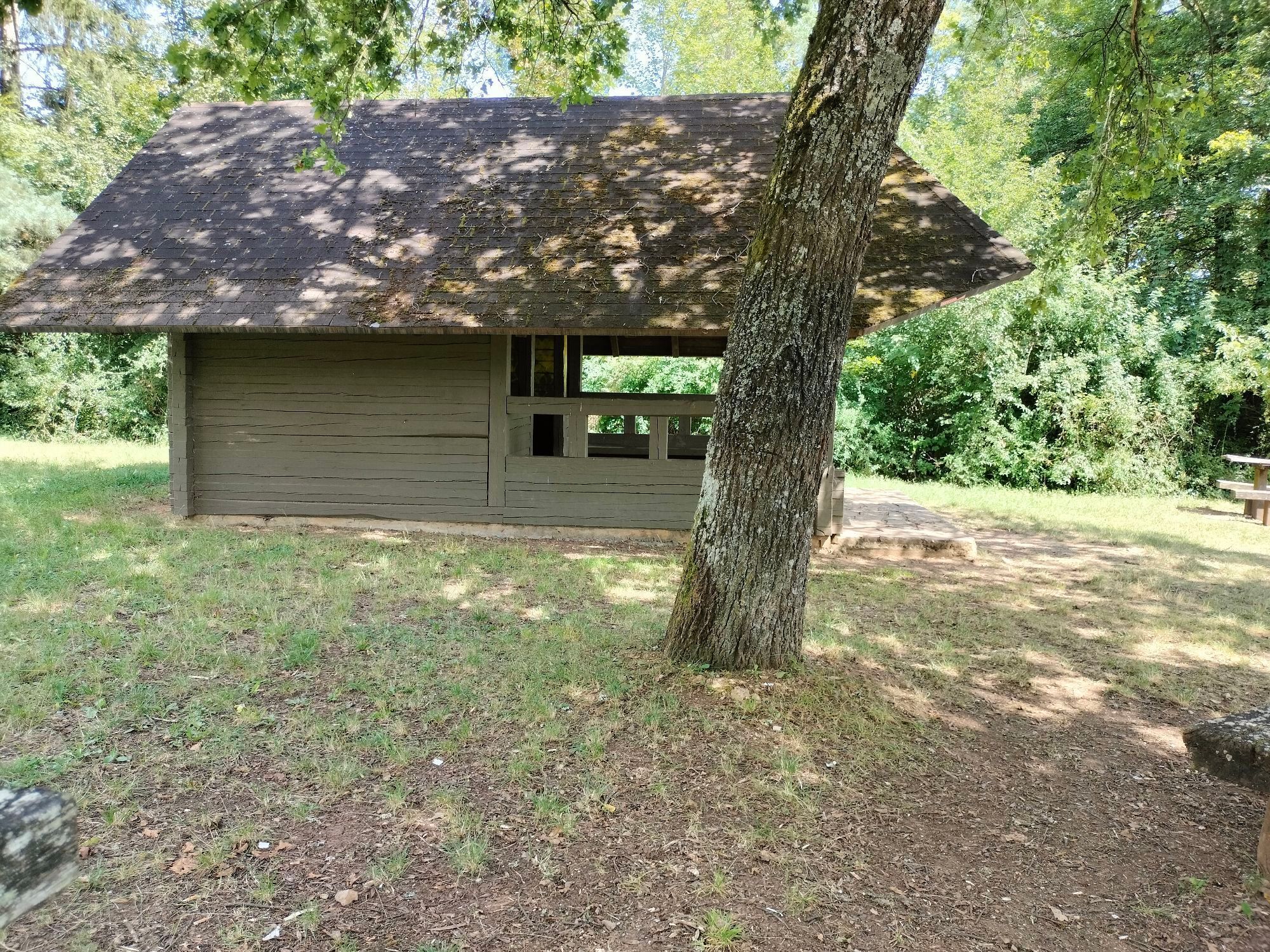
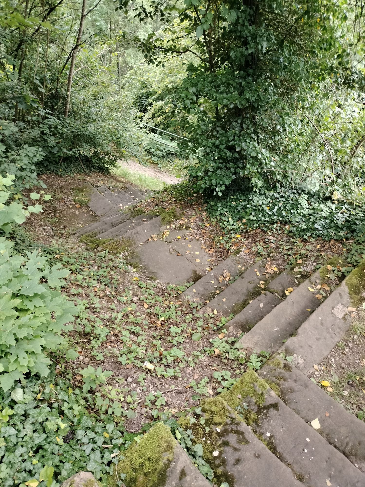
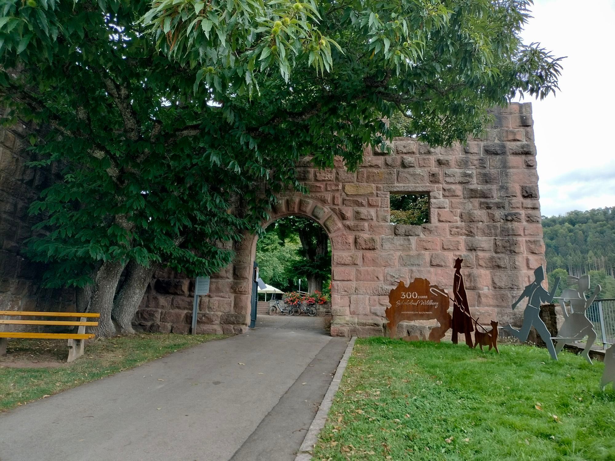
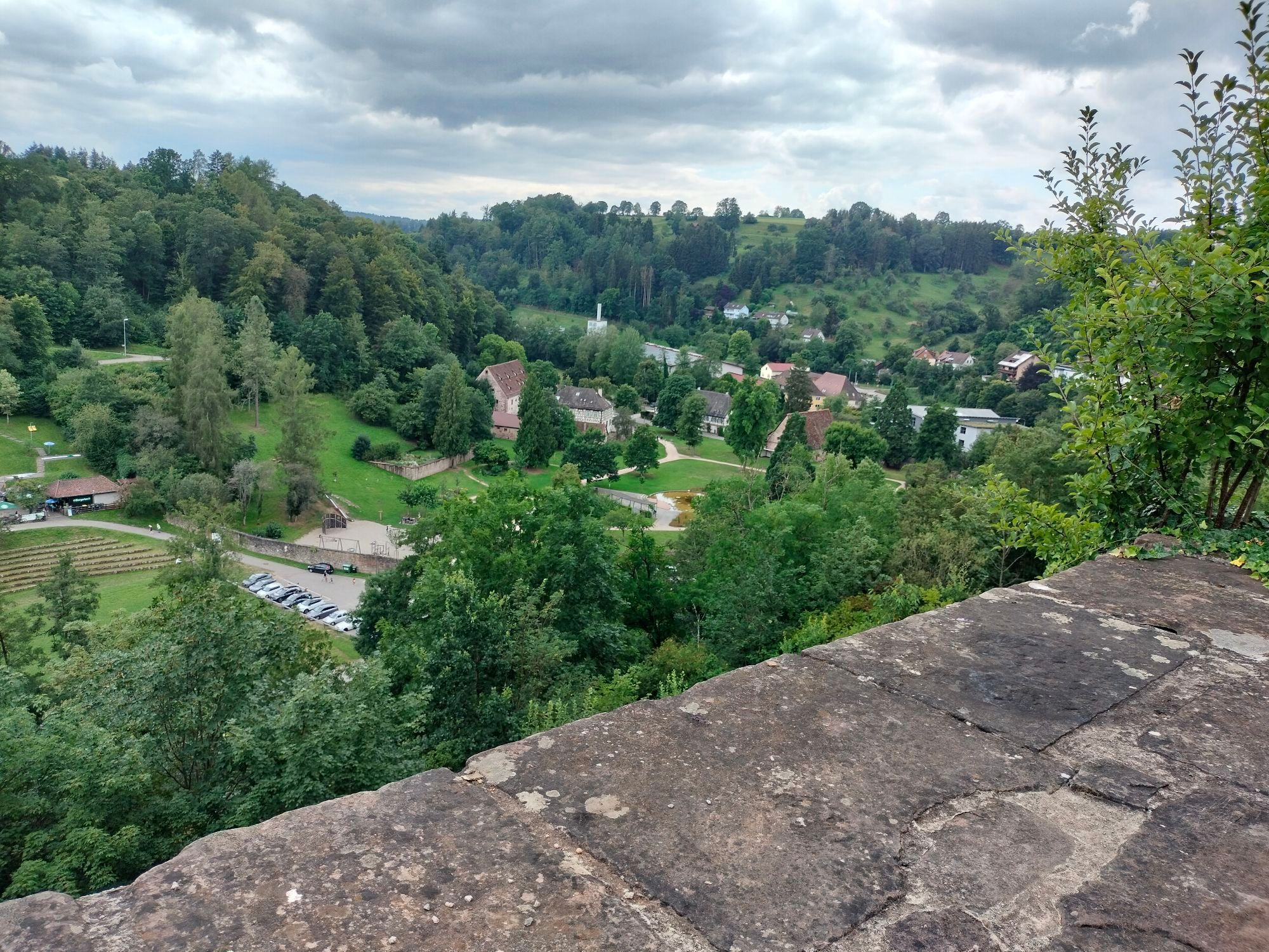
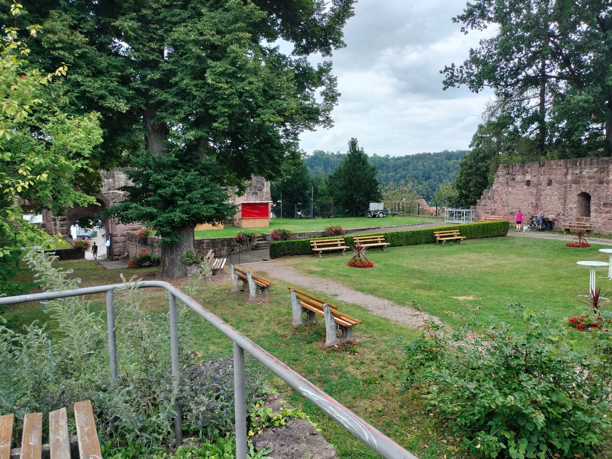
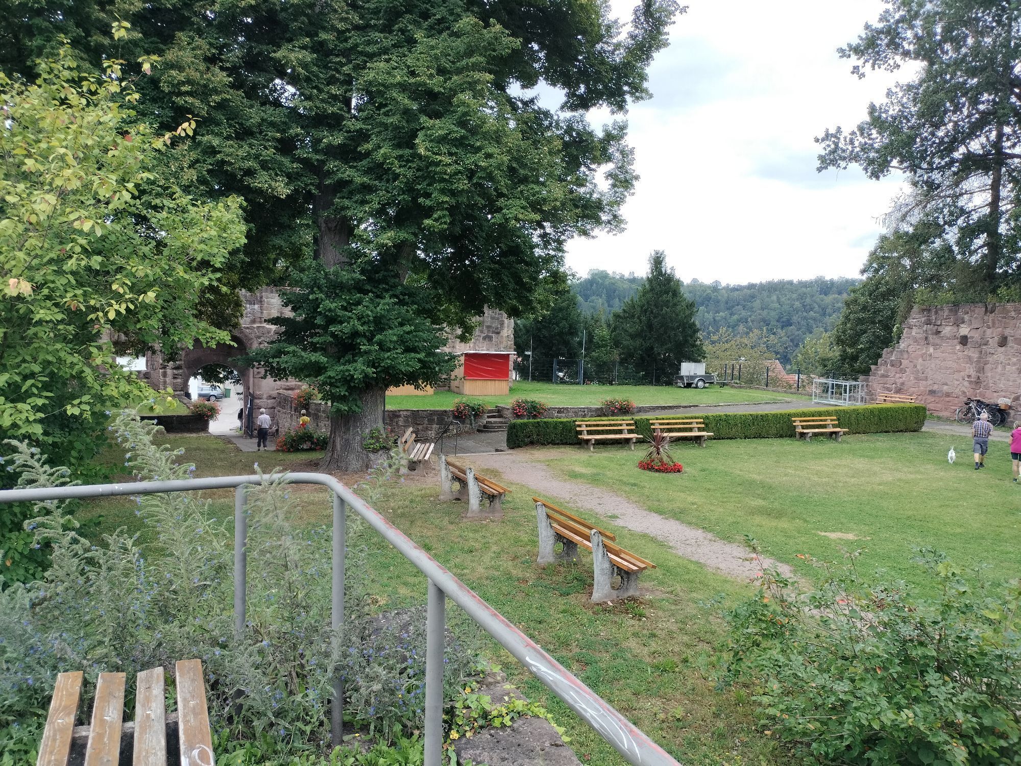
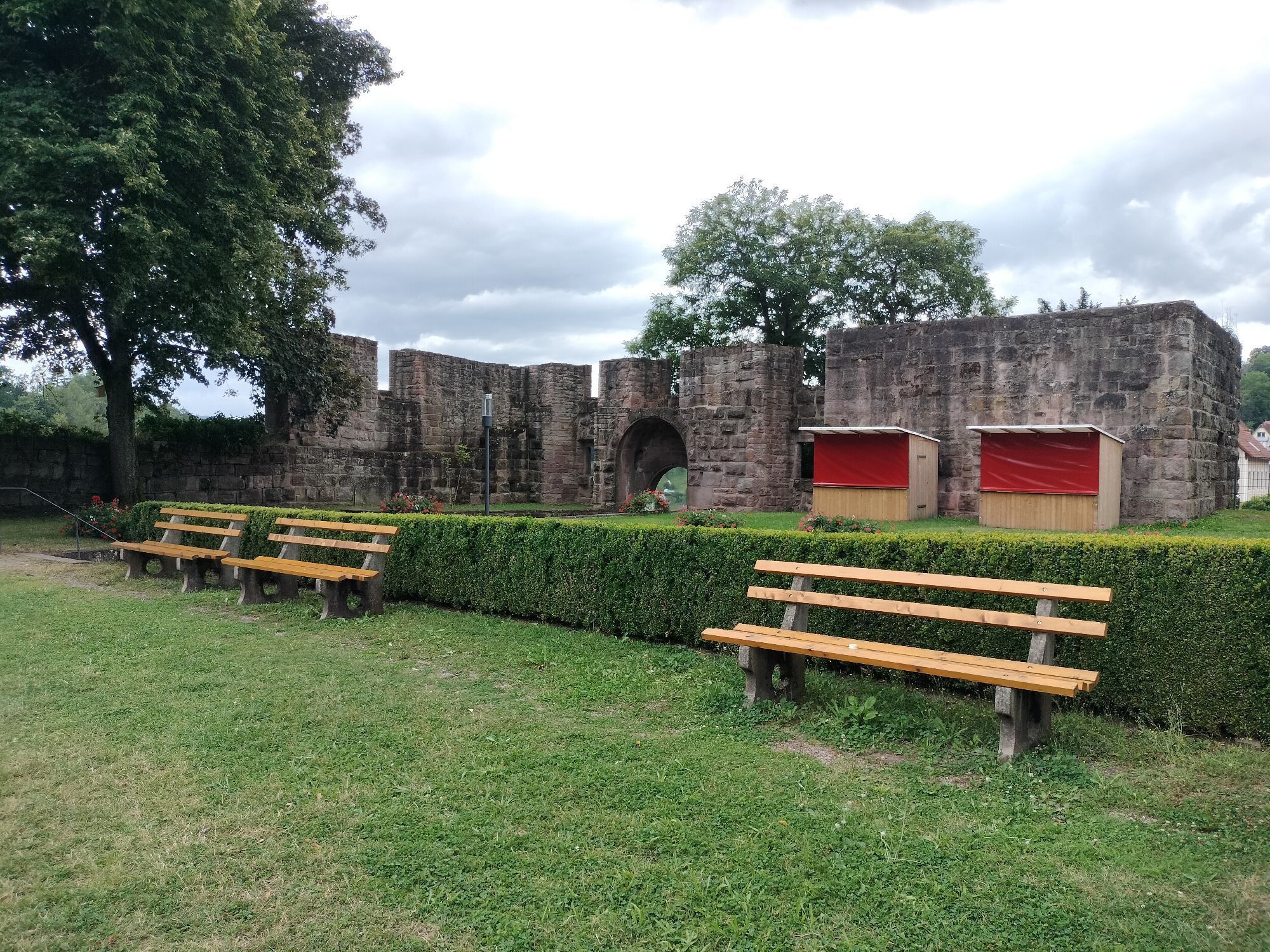
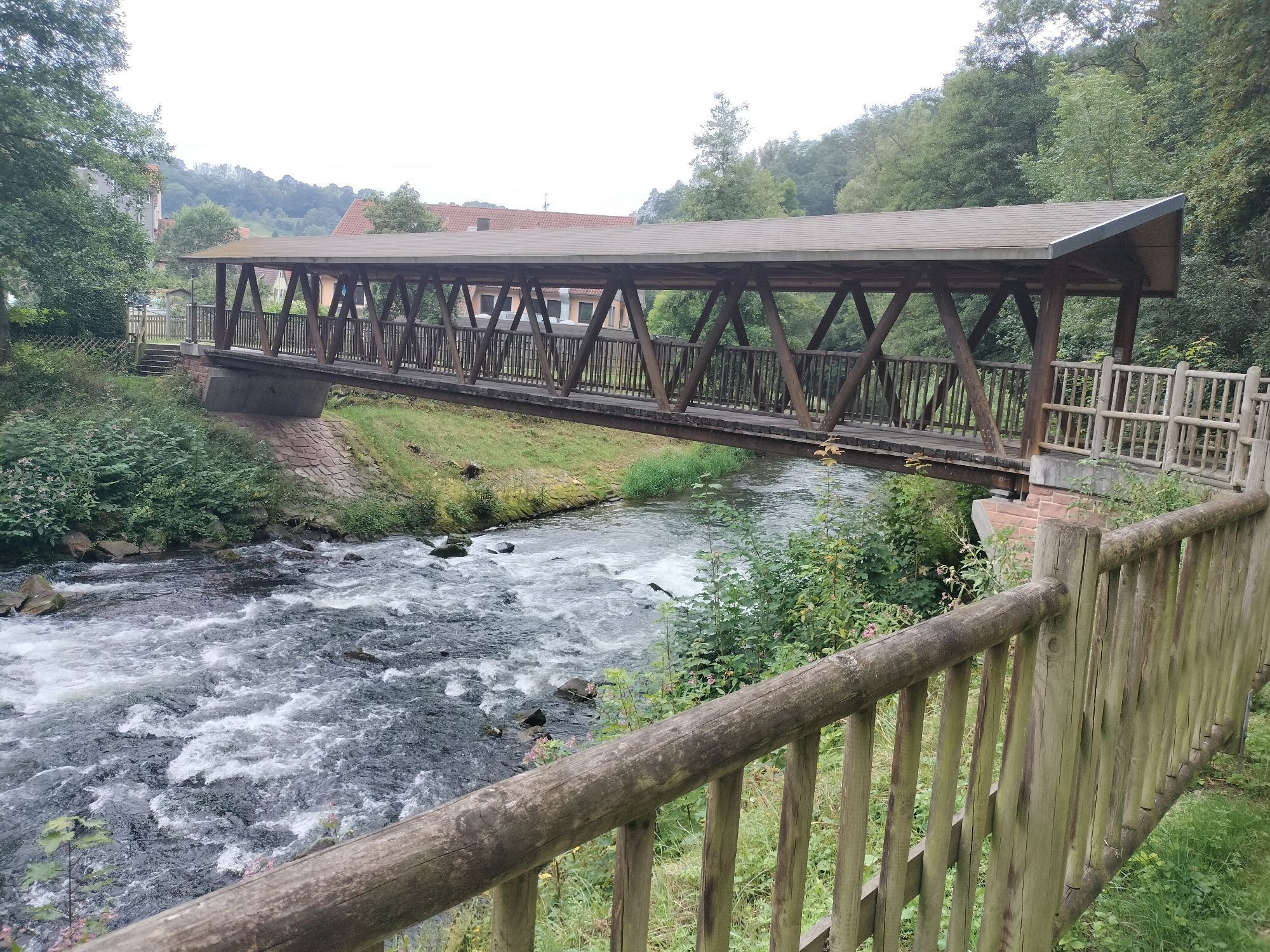
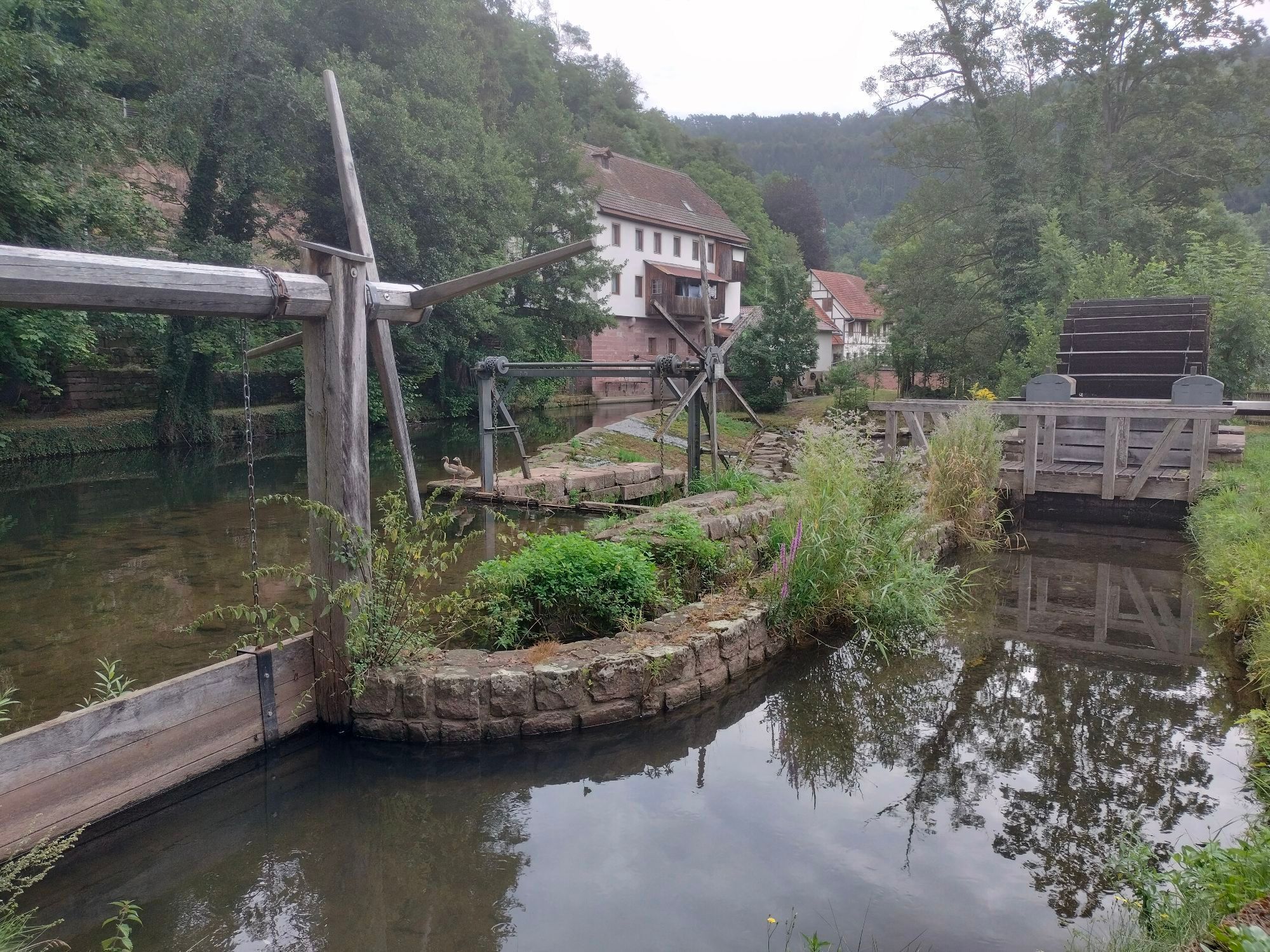
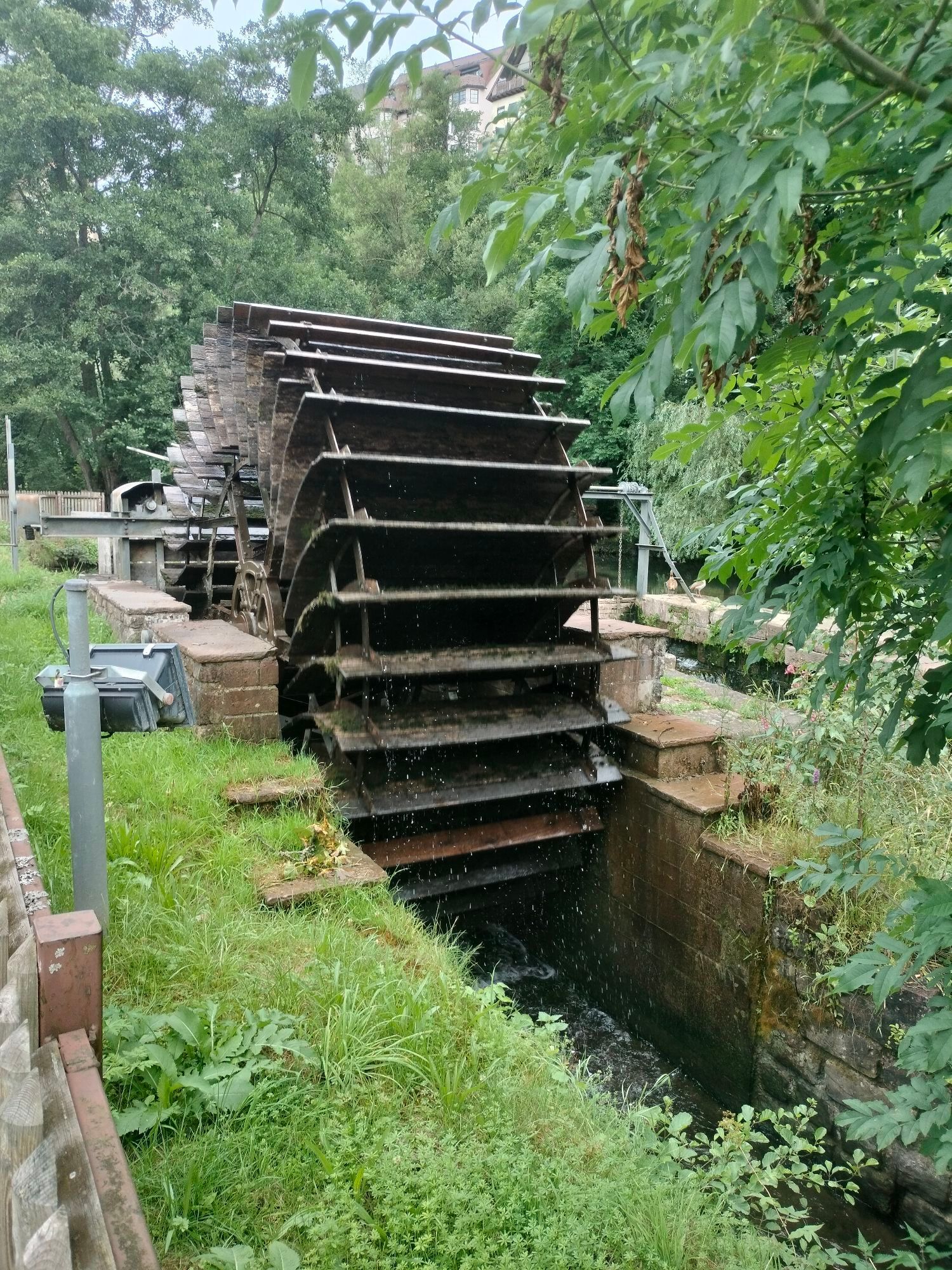
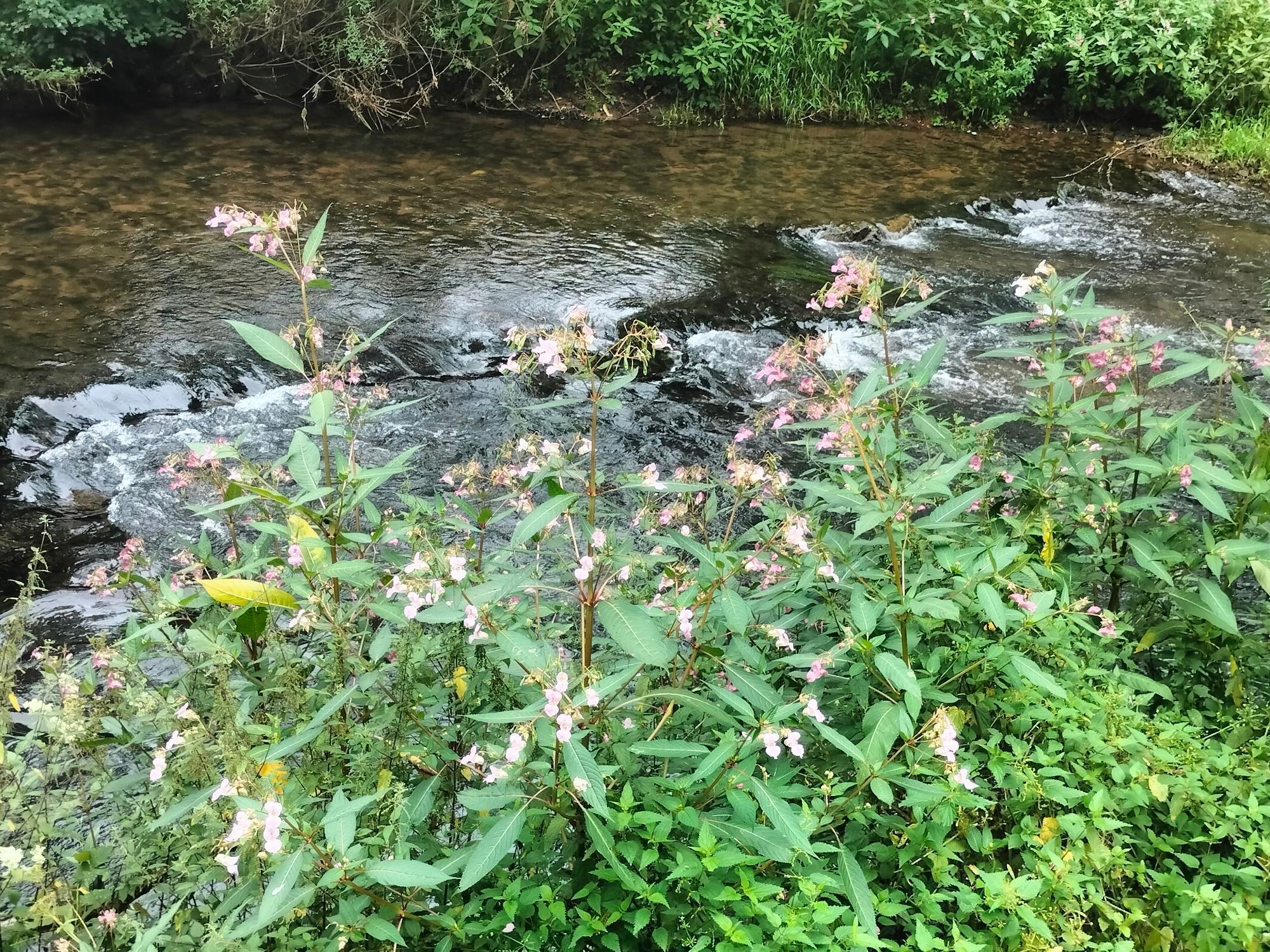
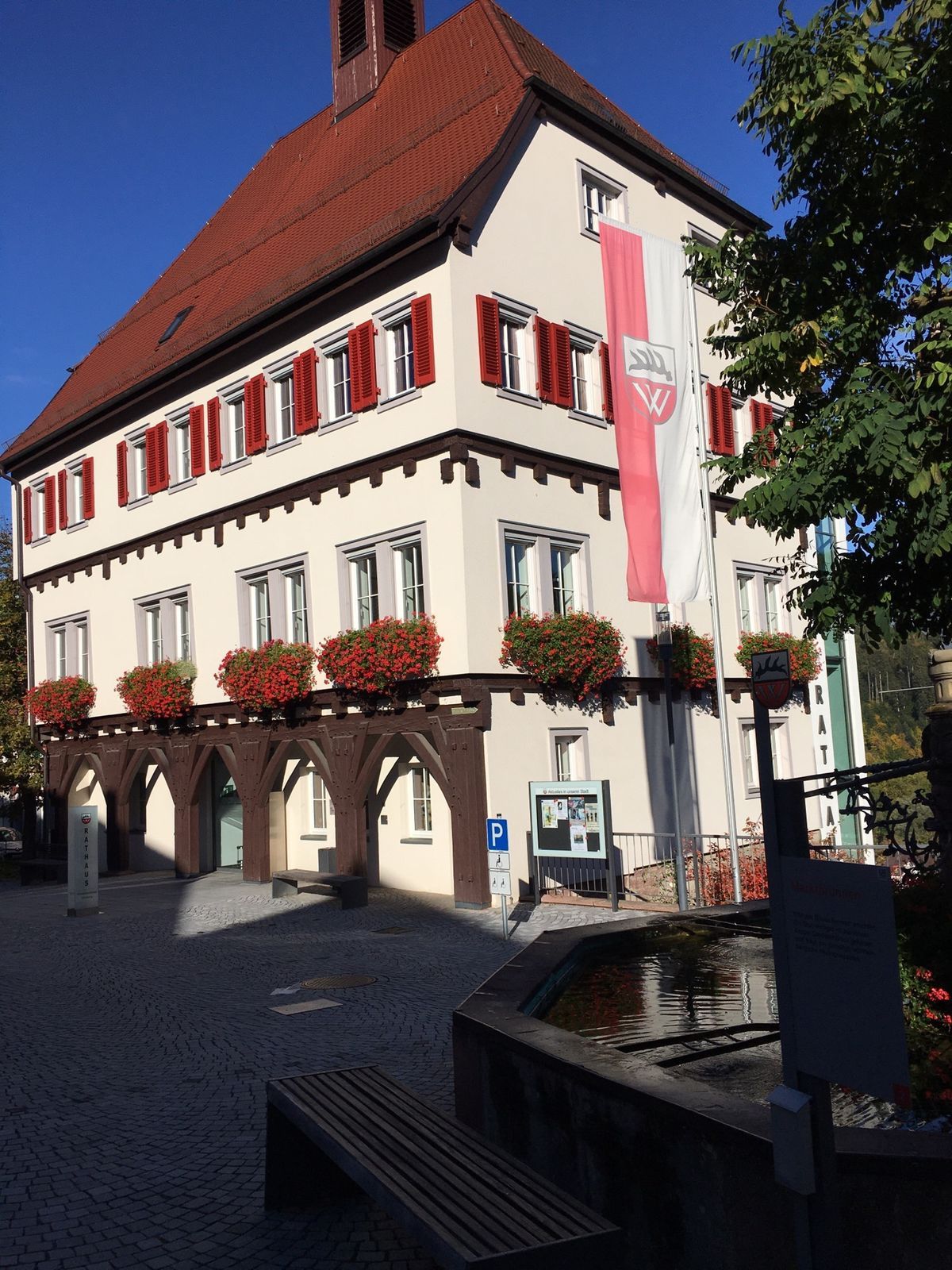
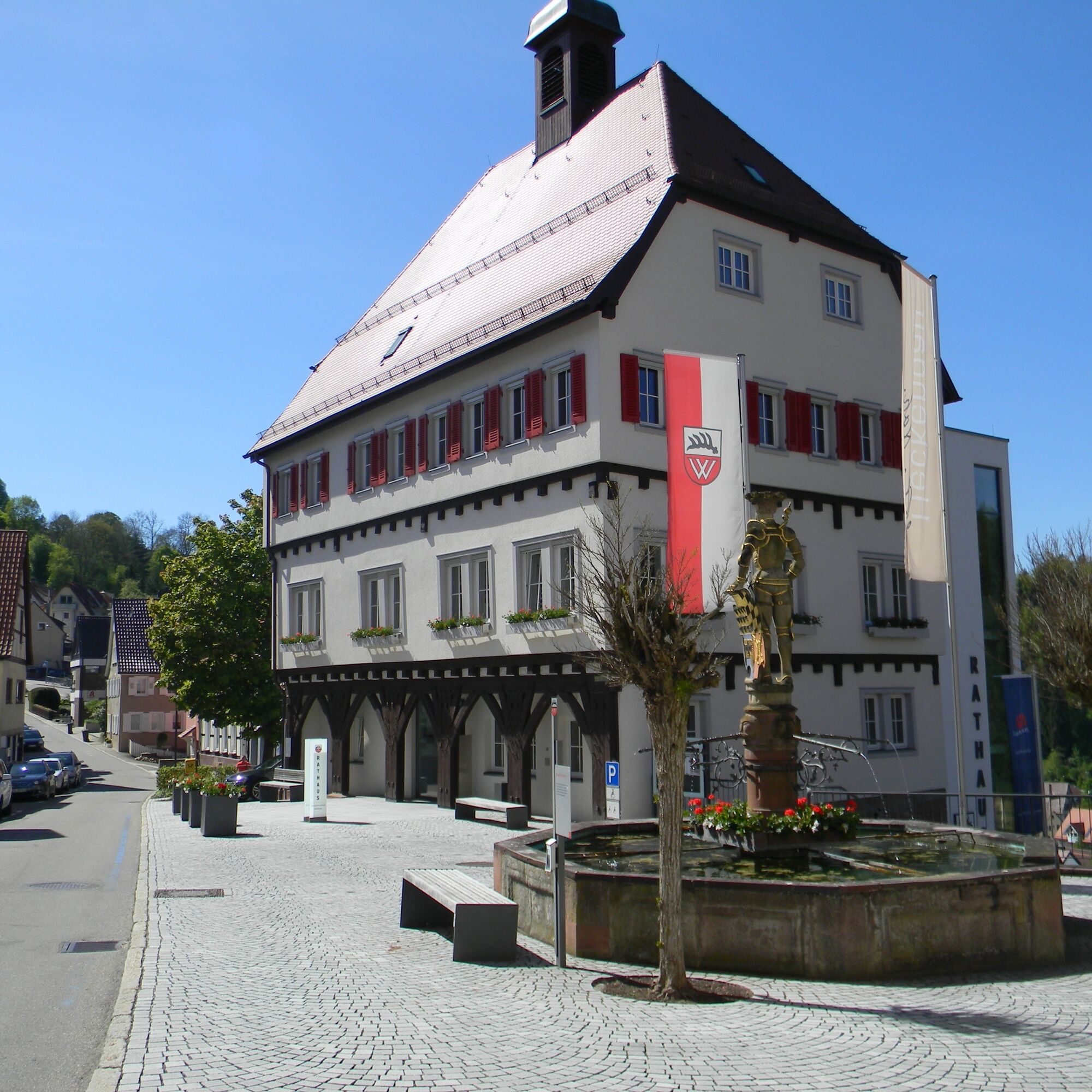
We start in the Nagold valley, in the shepherd city of Wildberg, and first have to pedal hard to reach the sunny heights above Wildberg. But the effort is worth it as there are always great panoramic views...
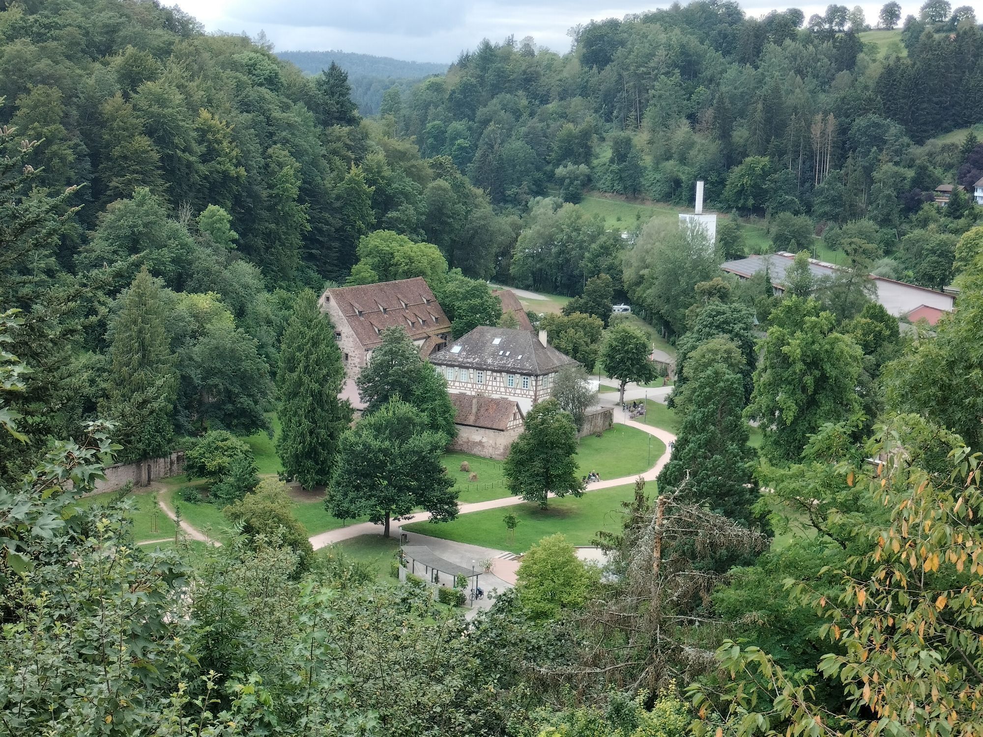
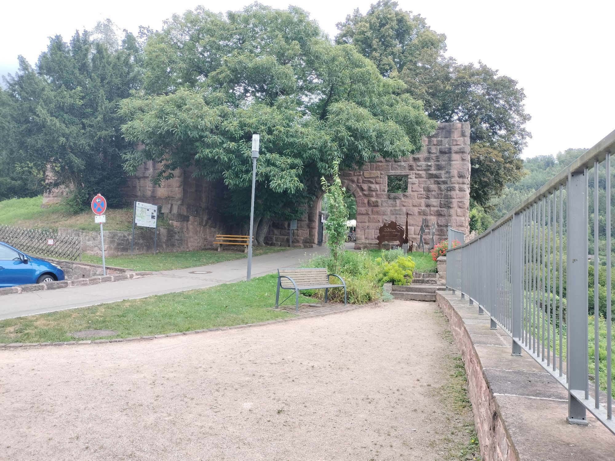
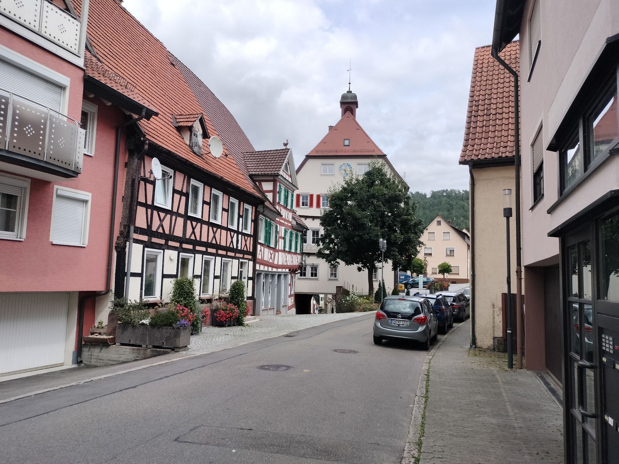
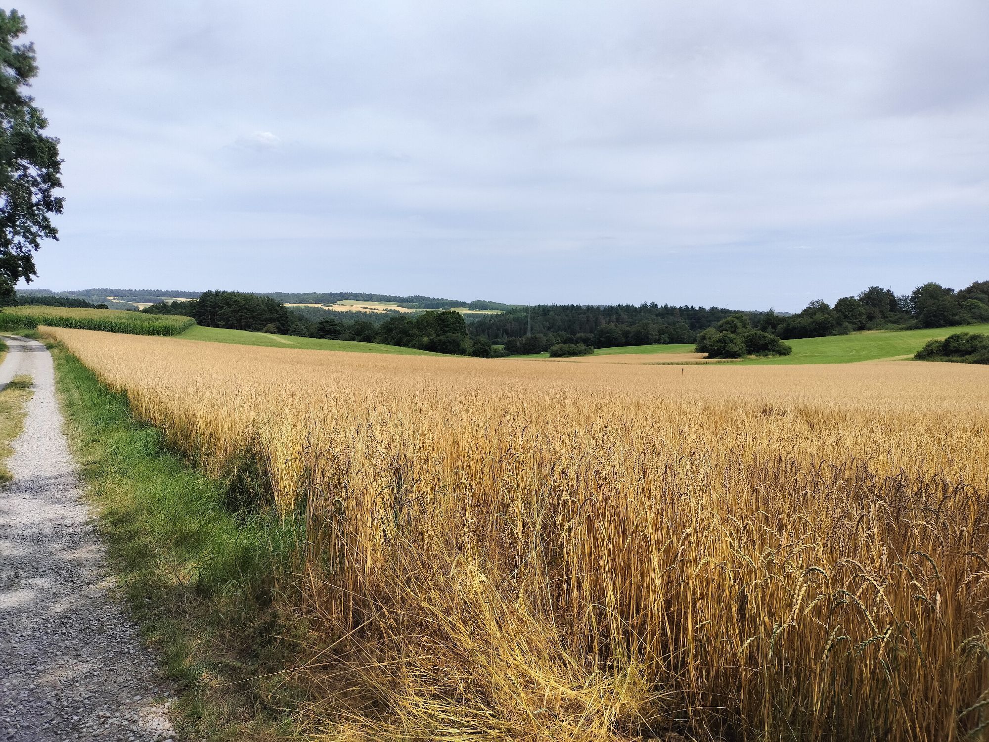
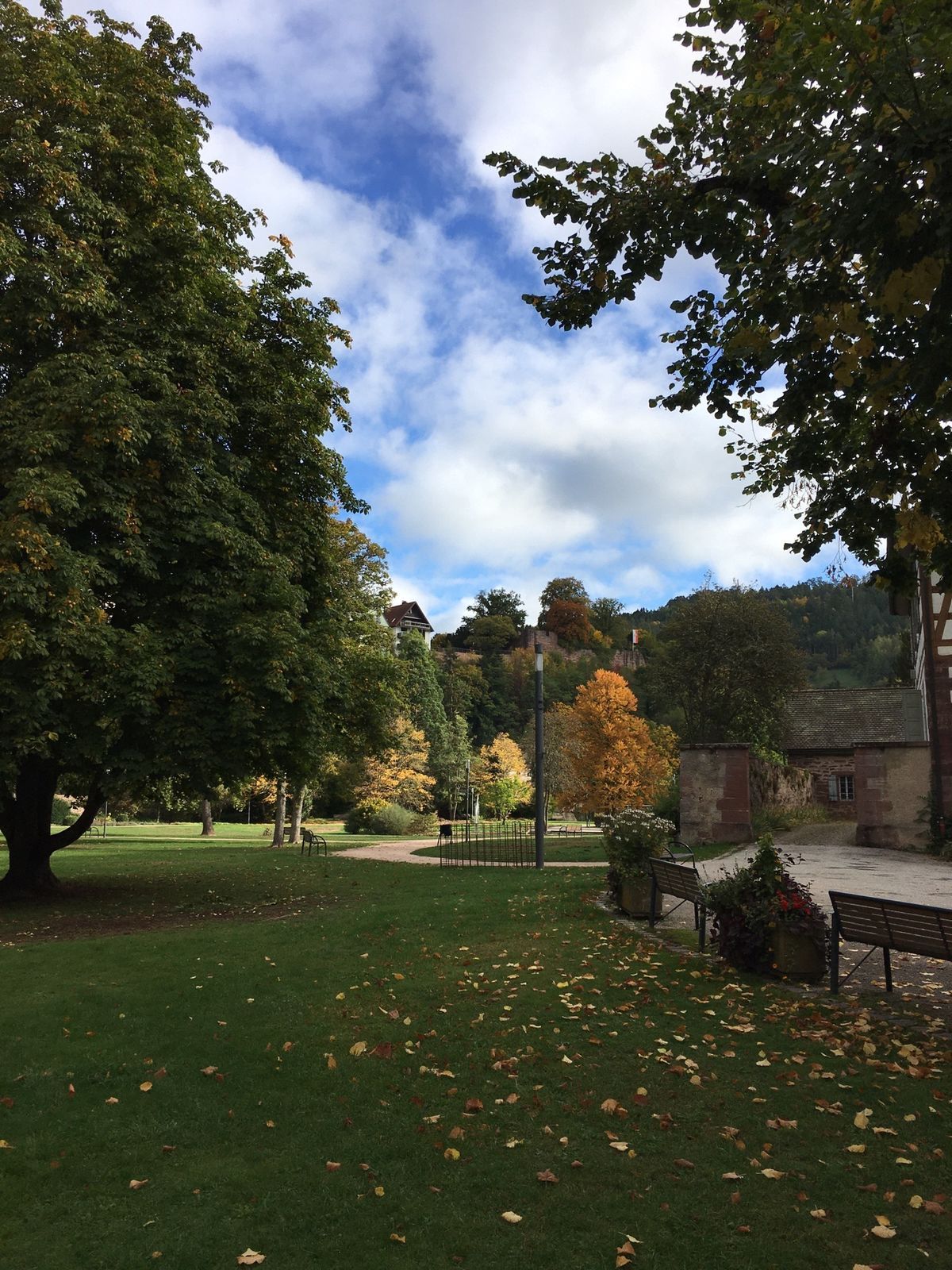
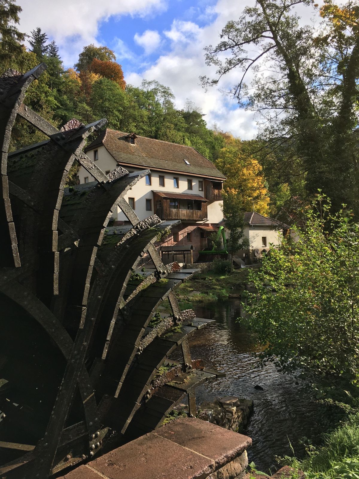
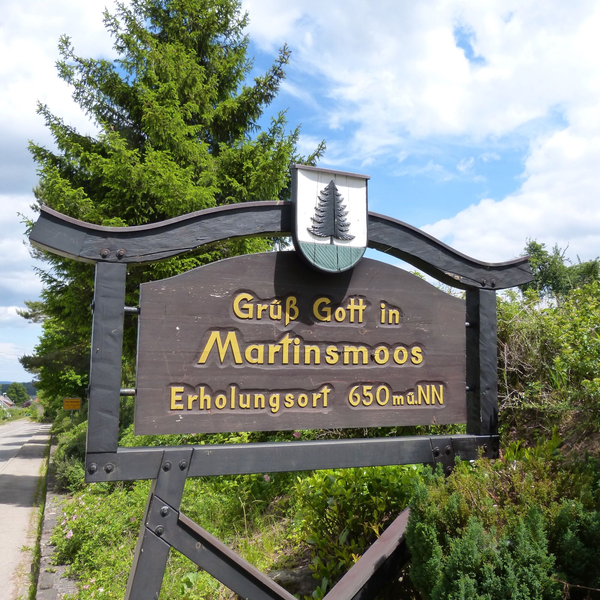
We start in the Nagold valley, in the shepherd city of Wildberg, and first have to pedal hard to reach the sunny heights above Wildberg. But the effort is worth it as there are always great panoramic views of the Black Forest and Heckengäu waiting. Between fields and meadows, we initially go in and through the Ziegelbach valley near Oberhaugstett before we also follow part of the Ostweg, which leads through fragrant forest sections. We cross the Martinsmoos and continue to Neuweiler and Hofstett. Here we turn around and cycle in a loop back towards the Nagold valley. The next place we reach is called Zwerenberg and later Gaugenwald – the former forest village. Extensive forest sections characterize this high round. Then we continue to Wenden and Rotfelden before returning through the Schwarzenbach valley into the Nagold valley. The last stretch takes us back to Wildberg on the Nagold valley bike path past the Maria Reuthin Monastery.
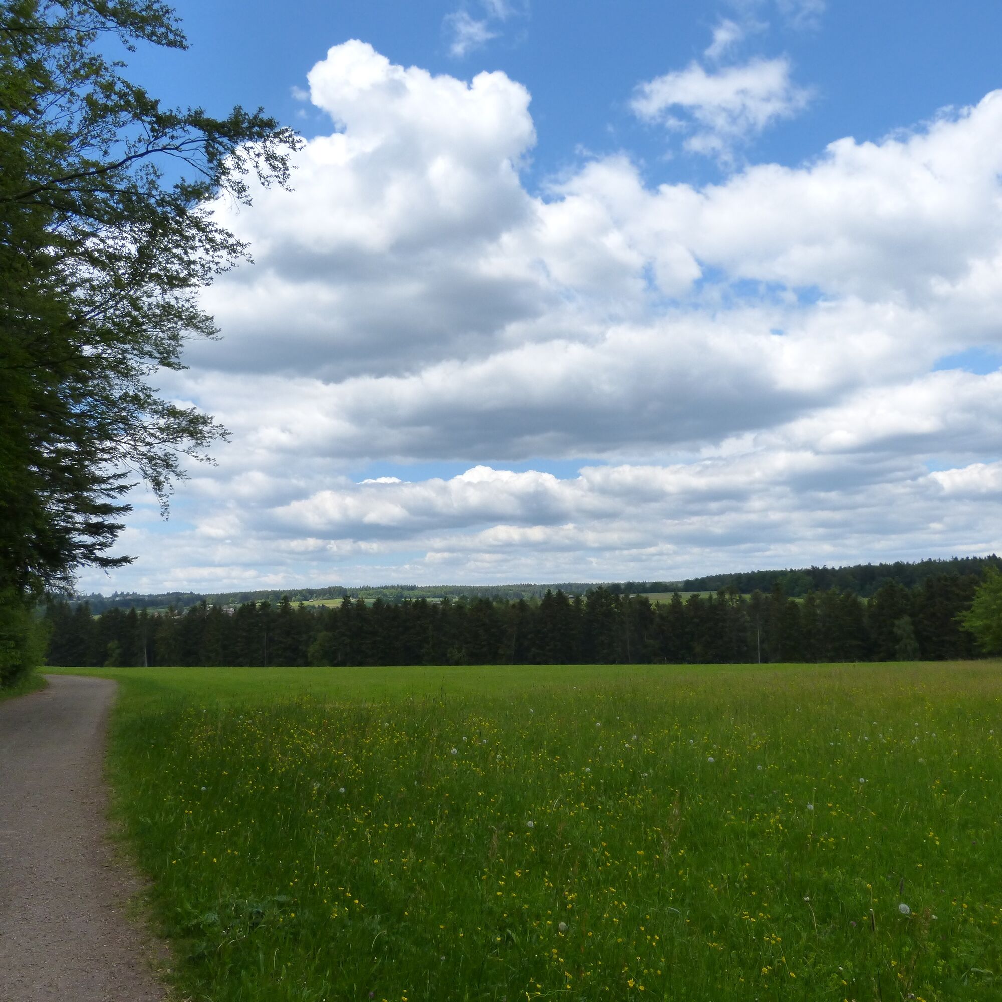
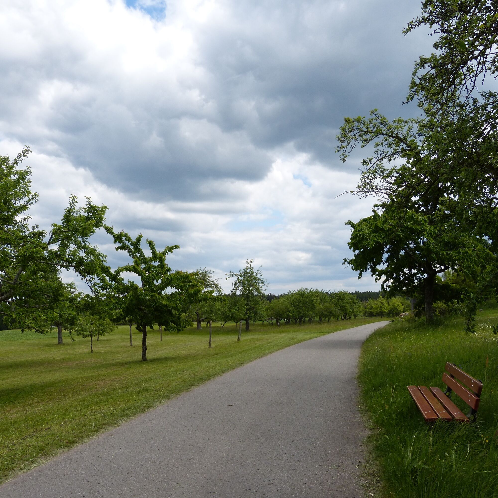
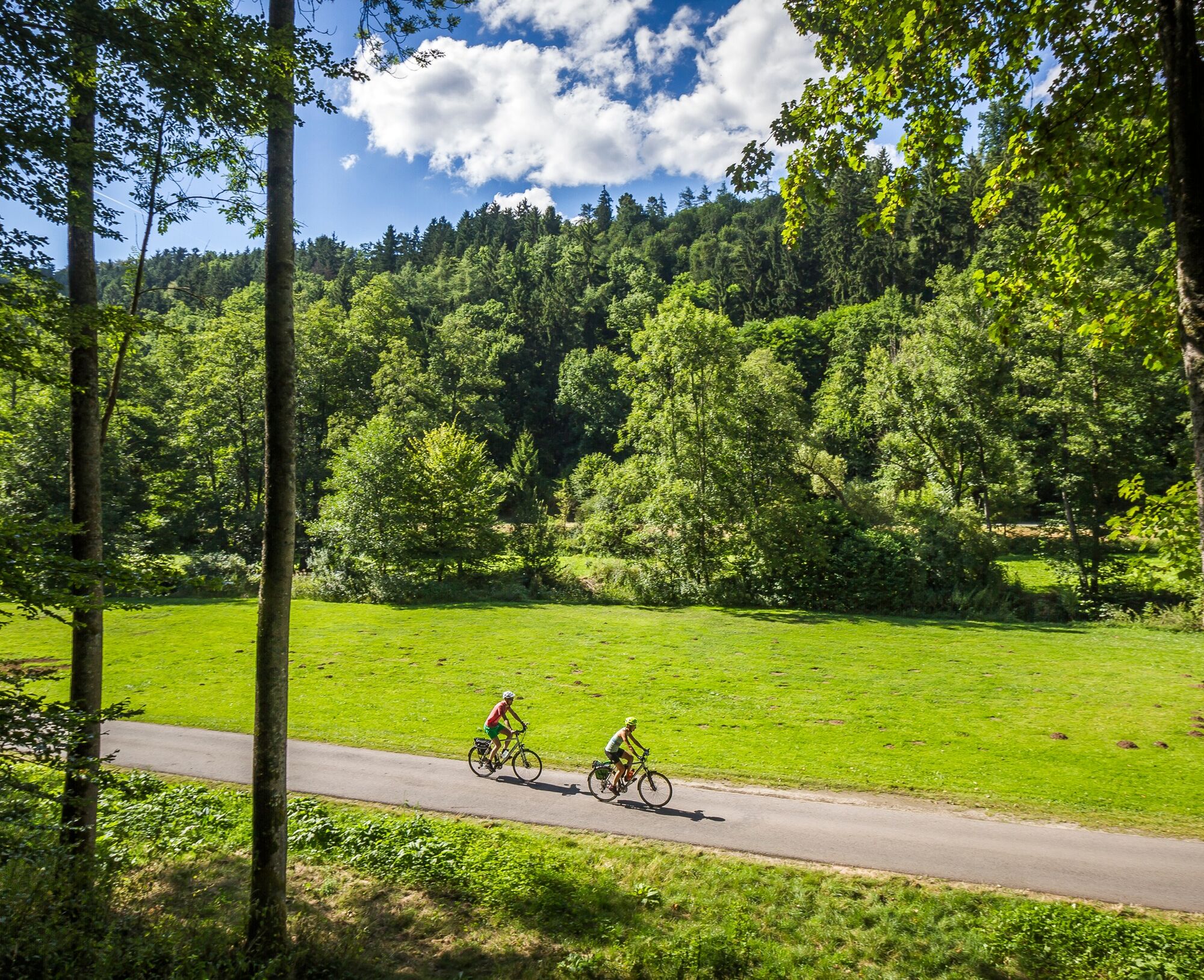
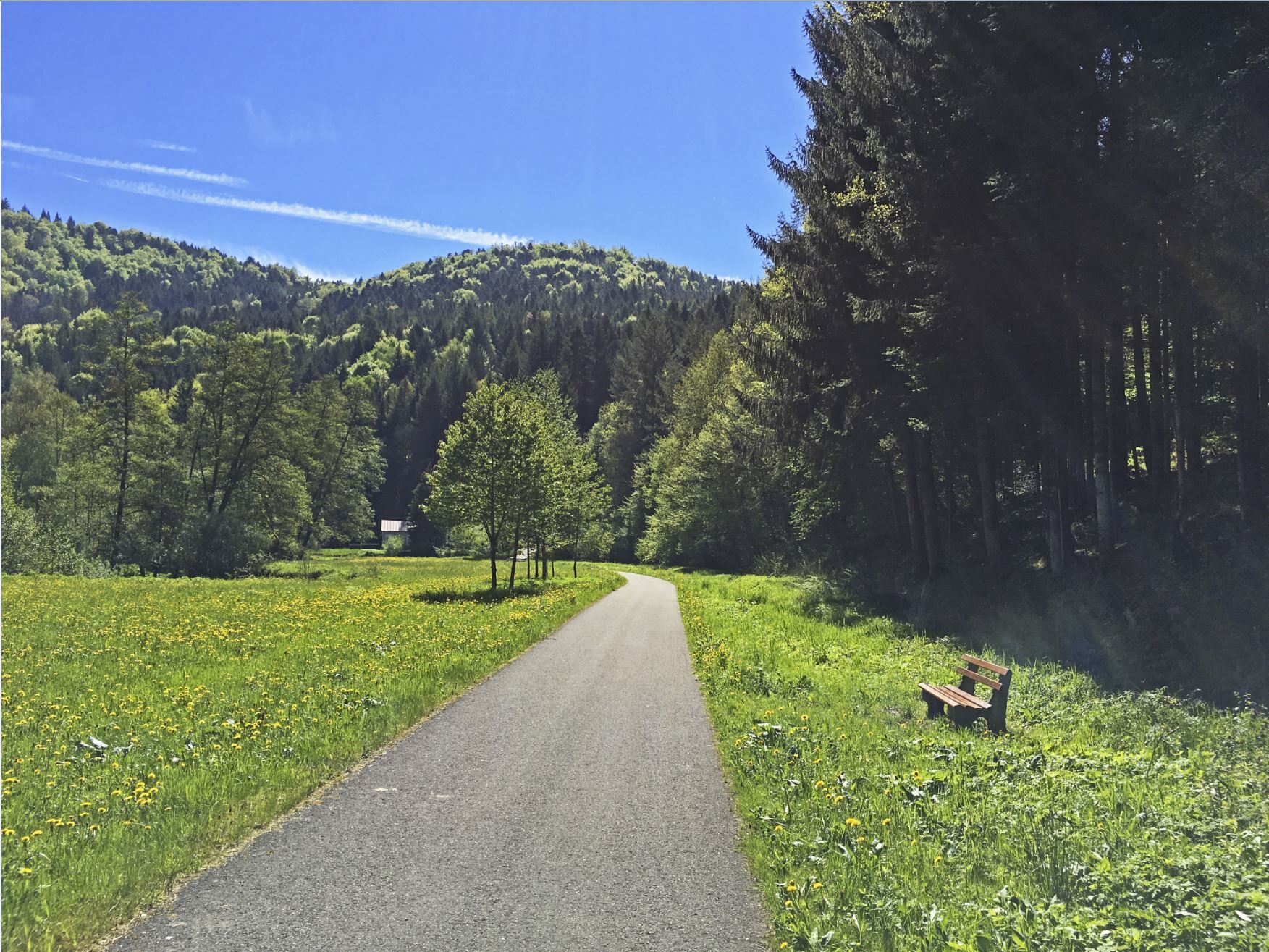
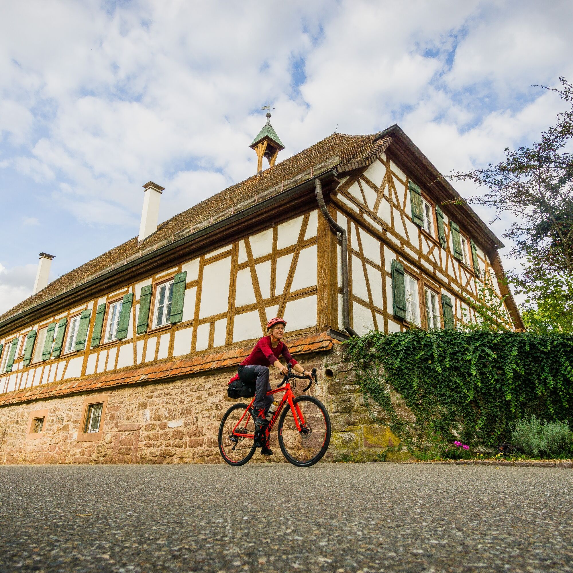
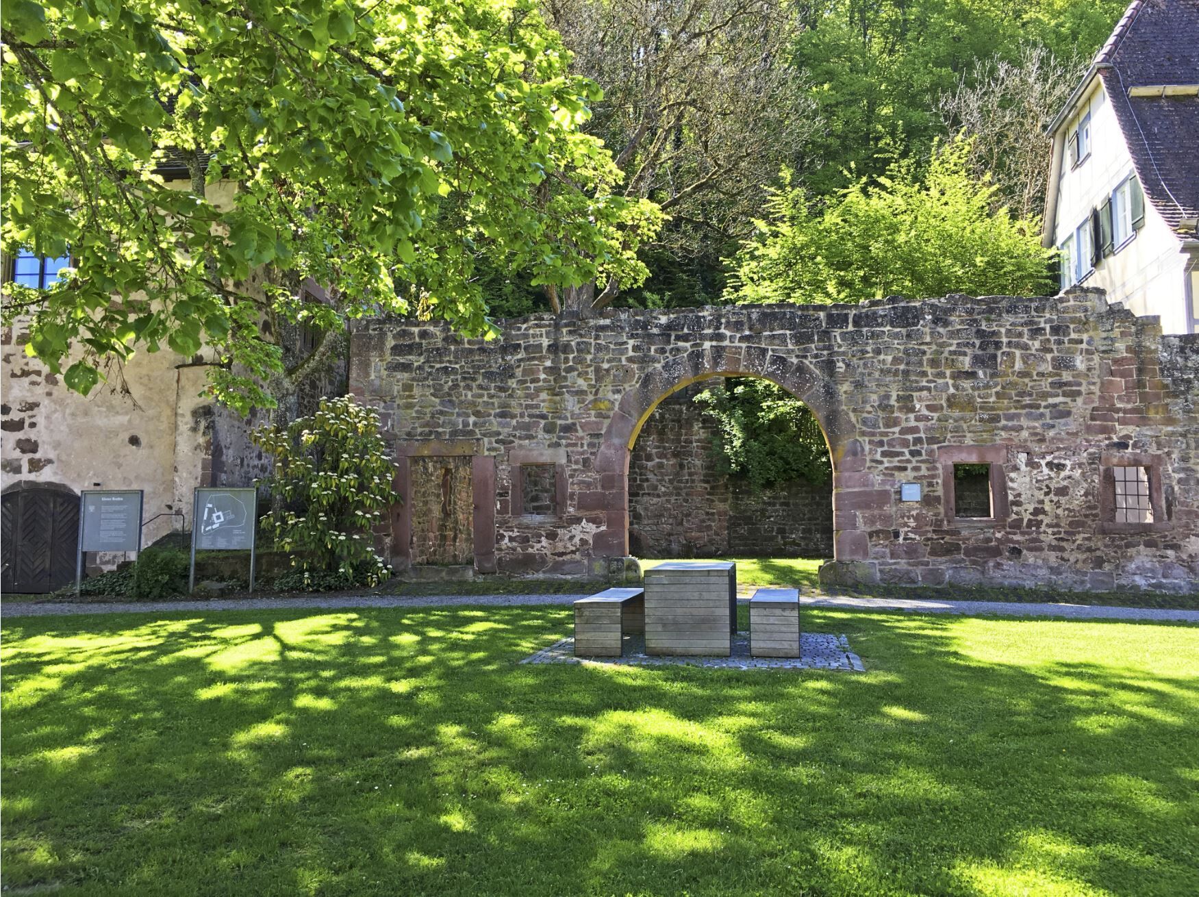
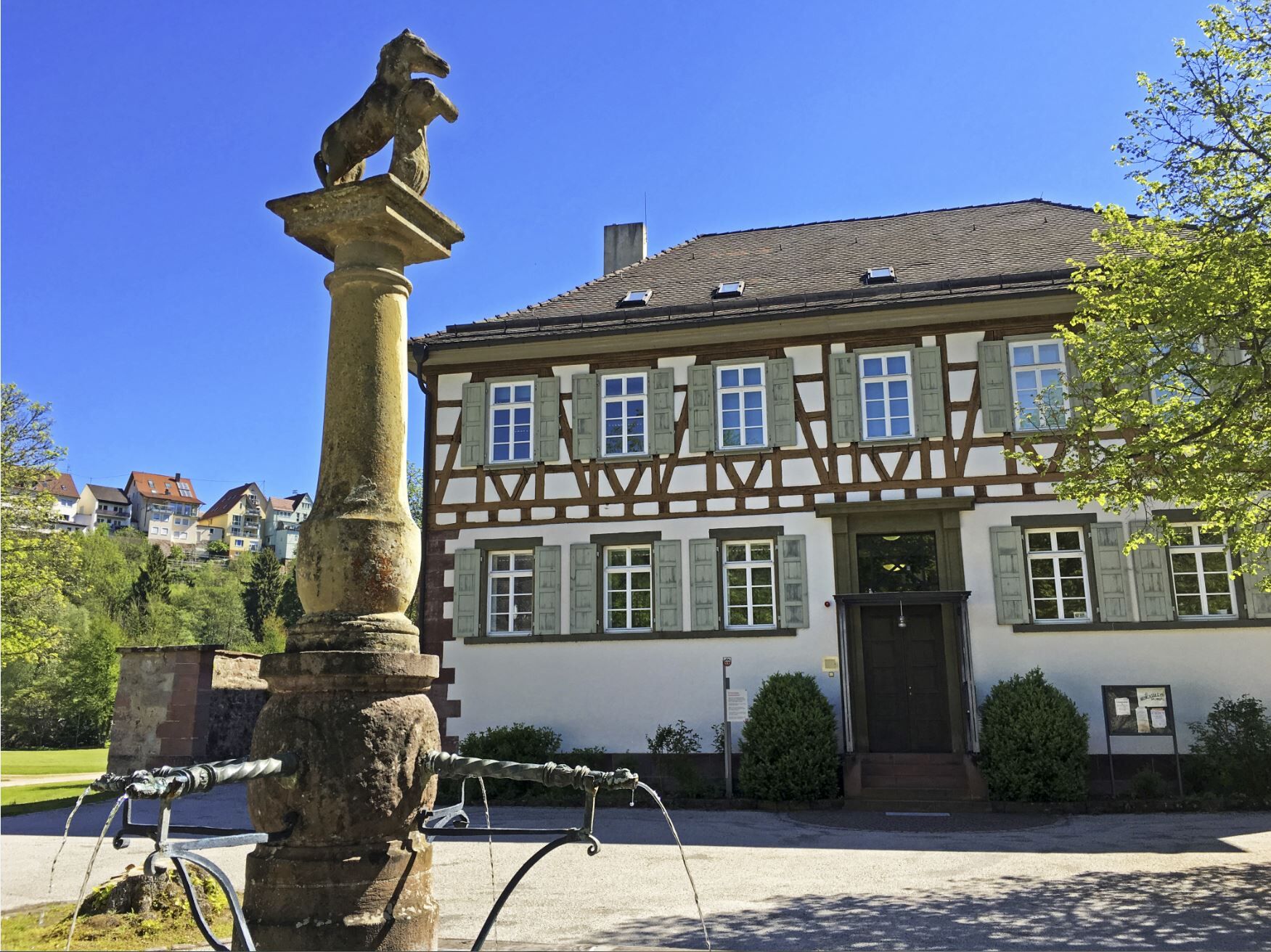
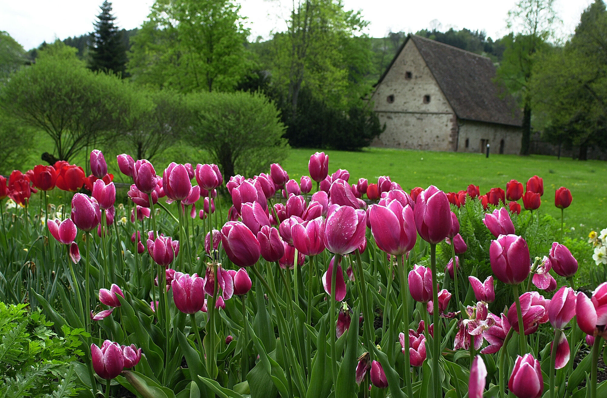
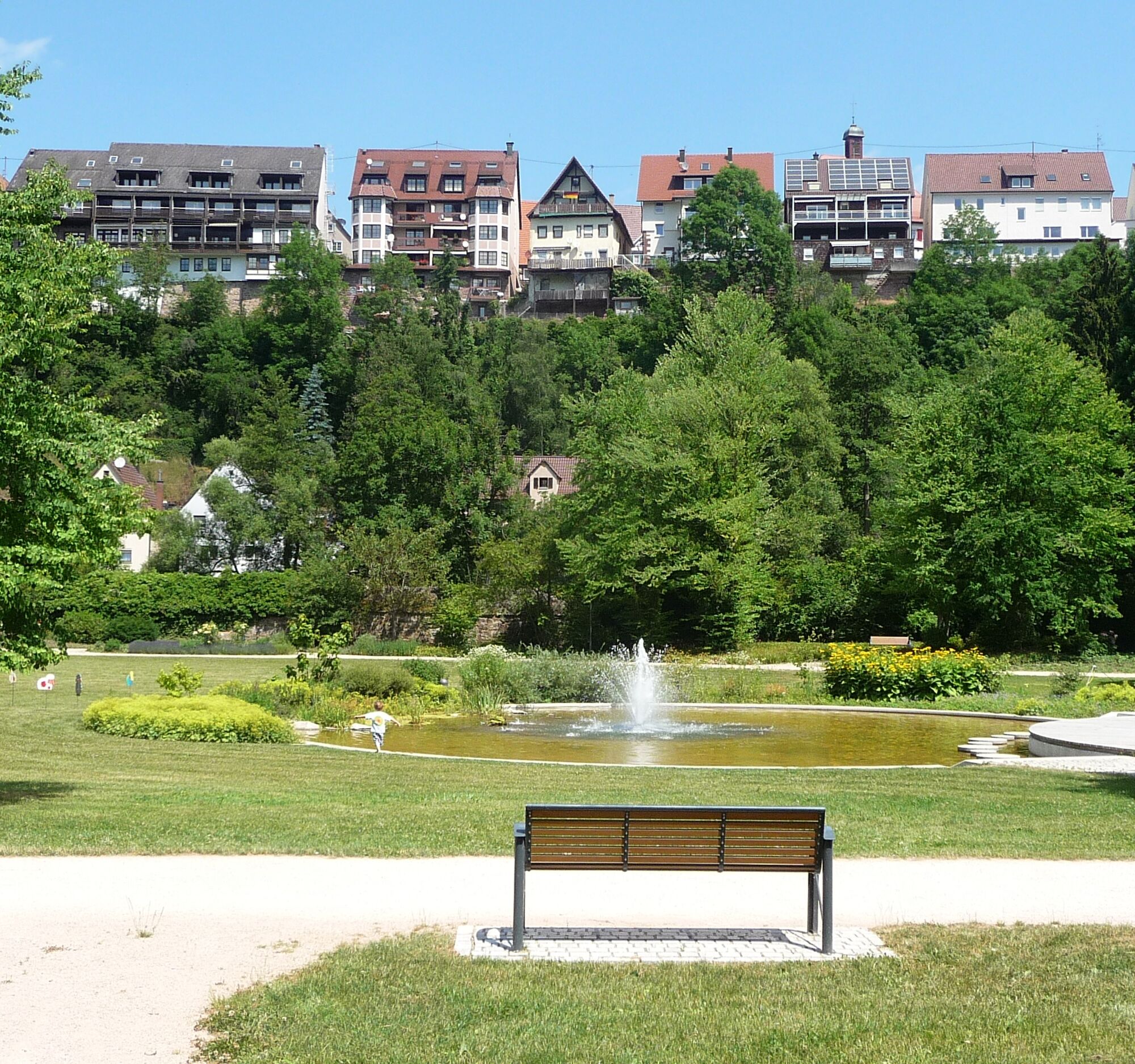
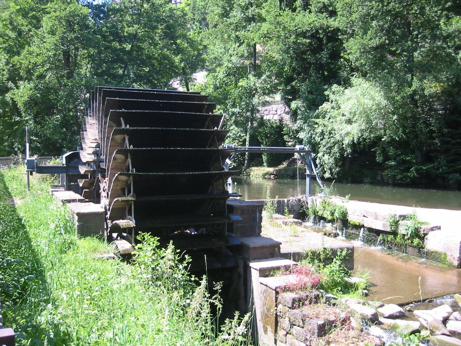
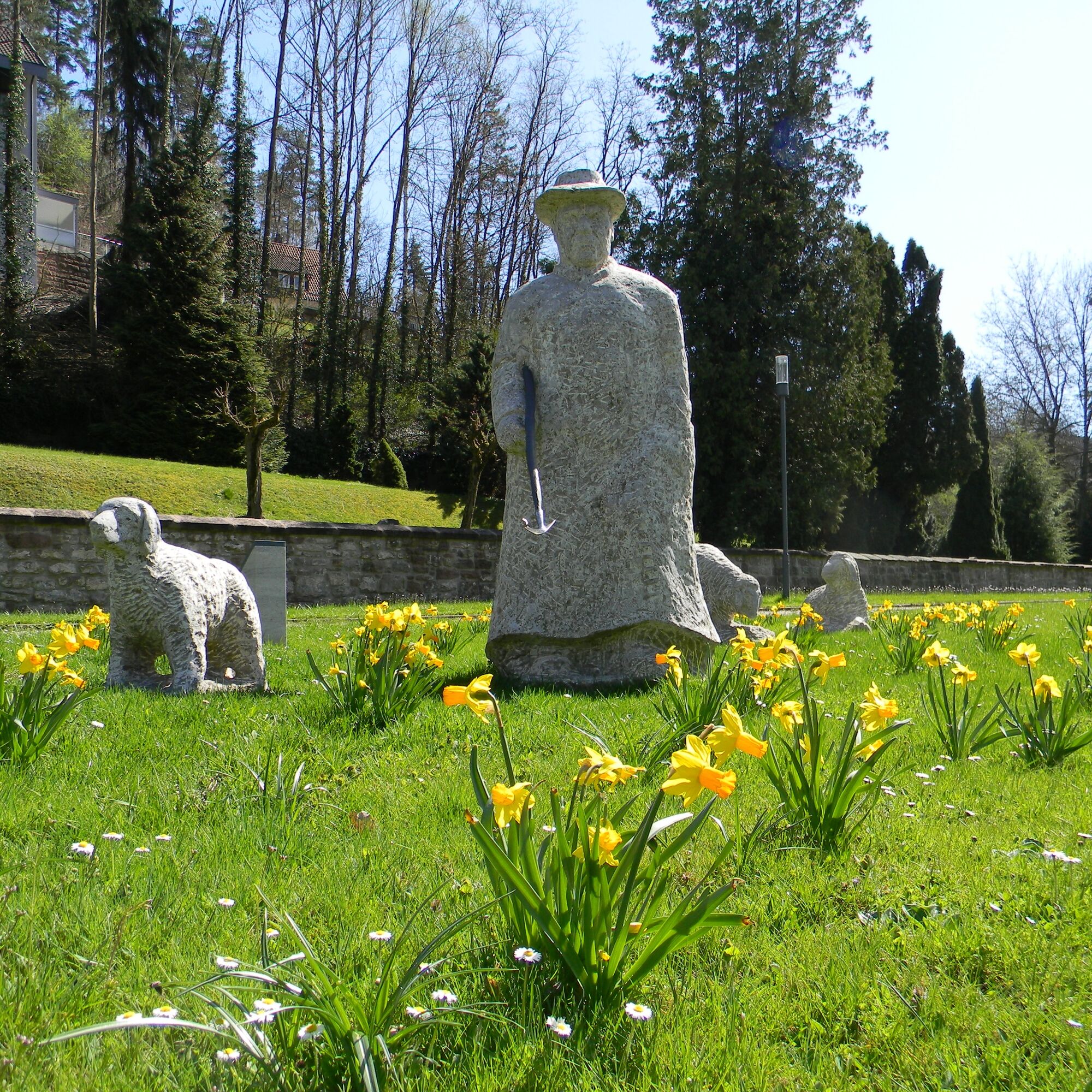
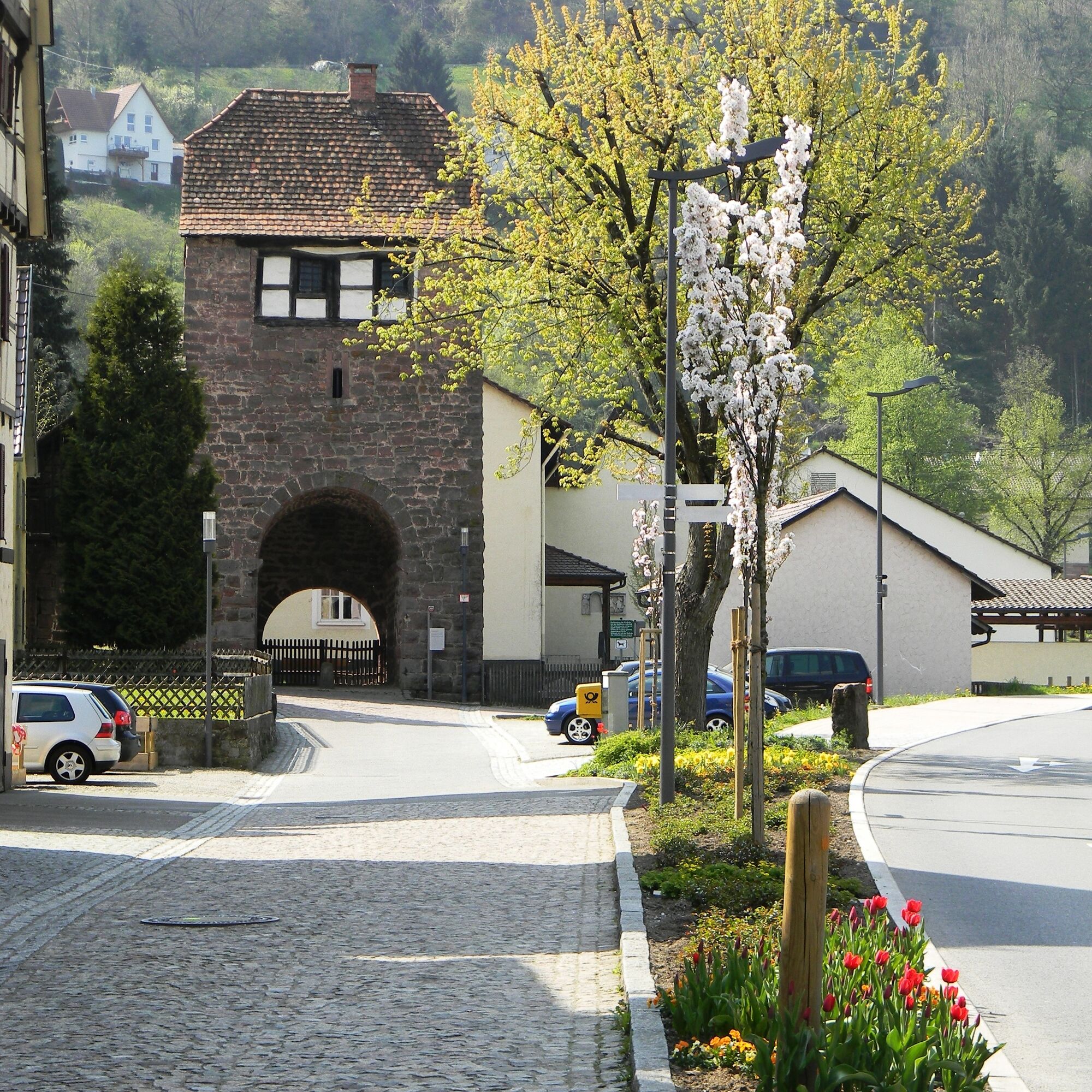

The cycling route runs on the signposted cycle paths of the Calw district. Along the way, we follow the green-white cycle signage.
Bicycle helmet, repair kit, provisions, maps
Wildberg is best reached via the B463 from both Pforzheim/Calw and Nagold/Horb.
From Herrenberg, you travel via Kuppingen and Sulz am Eck to Wildberg.
The Kulturbahn runs every 30 or 60 minutes from Pforzheim via Bad Liebenzell, Calw, Wildberg, and Nagold to Horb or Tübingen.
Bicycles can be taken on the train depending on capacity.
Parking is available at the station in Wildberg.
1
Burgers, onion roast, cake, or a fresh beer – the inn "Zum Joggel" in Wenden is a culinary insider tip for hungry cyclists!

Popularne wycieczki w okolicy
-
4,8
Eyach round
średniWędrówka 7,84 km -
4,9
Der Teinacher (Premiumweg & Genießerpfad)
średniWędrówka 12,0 km -
4,2
Kaltenbronn Circular Route No. 1 - Wildsee Moor Loop
światłoWędrówka 8,30 km -
4,7
premium hiking trail Enzquellenpfad
średniWędrówka 19,9 km -
4,7
Through the wild romantic Schweinbachtal to the Bruderhöhle cave
średniWędrówka 13,8 km -
5,0
Water, Woods and Meadowtrail / Zavelstein > Calw (Premium trail & Genussweg)
ciężkiWędrówka 14,4 km -
4,3
Nature experience tour Kaltenbronn
średniWędrówka 14,2 km -
5,0
AugenBlick route Bad Teinach-Zavelstein Zettelberg
ciężkiWędrówka 15,5 km -
5,0
Rundwanderweg Sulzkar
średniWędrówka 12,4 km -
5,0
Hike through the idyllic Kälbertal
średniWędrówka 8,01 km
Wędrówki i tropienie


Nie przegap ofert i inspiracji na następne wakacje
Twój adres e-mail została dodana do listy mailingowej.





