






Calw - Zigeunerberg and Bruderberg
Poziom trudności: 3

By Car
Motorway A8 from Karlsruhe:
Exit Pforzheim-West (approx. 25 km); continue on federal road 463 towards Calw
Motorway A8 from Ulm/Stuttgart:
Exit Leonberg (approx. 30 km), continue on federal road 295 towards Weil der Stadt to Calw
Motorway A81 from the south/Lake Constance:
Exit Gärtringen-Stadtmitte (approx. 20 km), continue on K 1075; near Deckenpfronn turn left onto K 1022. At the roundabout take the first exit and continue on B 296 towards Calw.
By Train
Route Karlsruhe - Pforzheim - Calw - Horb - Tübingen (Kulturbahn)
Long-distance train connections (EC, IC, ICE) are best reached in Karlsruhe with connecting trains via Pforzheim (Kulturbahn, line 774).
If arriving via Stuttgart, we recommend continuing with the S-Bahn S6 Stuttgart - Weil der Stadt with a transfer to bus line 670 to Calw.
By Bus:
Greater Stuttgart area bus line 670 DB Bahn Regiobus / Volz; (Calw-Weil der Stadt) connection to S6
Böblingen / Sindelfingen area: Bus line 763 DB Bahn Regiobus; Calw-Böblingen (connection to S1)
Plan your journey with www.efa-bw.de
Parking garages and parking lots in Calw
Parking garage Calwer Markt
234 parking spaces, open continuously
Parking garage ZOB
287 parking spaces, open continuously
Parking garage Kaufland
535 parking spaces, open continuously
Parking garage Haggasse
119 parking spaces, open continuously
Other parking garages/parking lots
Hospital (85), Cemetery, Bischofstraße (15), Stadtgarten (18), Gasthaus Linde, Stuttgarter Straße (35), Underground garage Gym Badstraße (48), Bahnhofstraße (27), Old station (155)
3
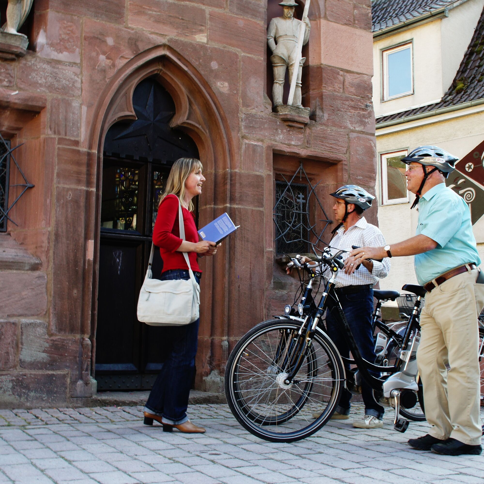
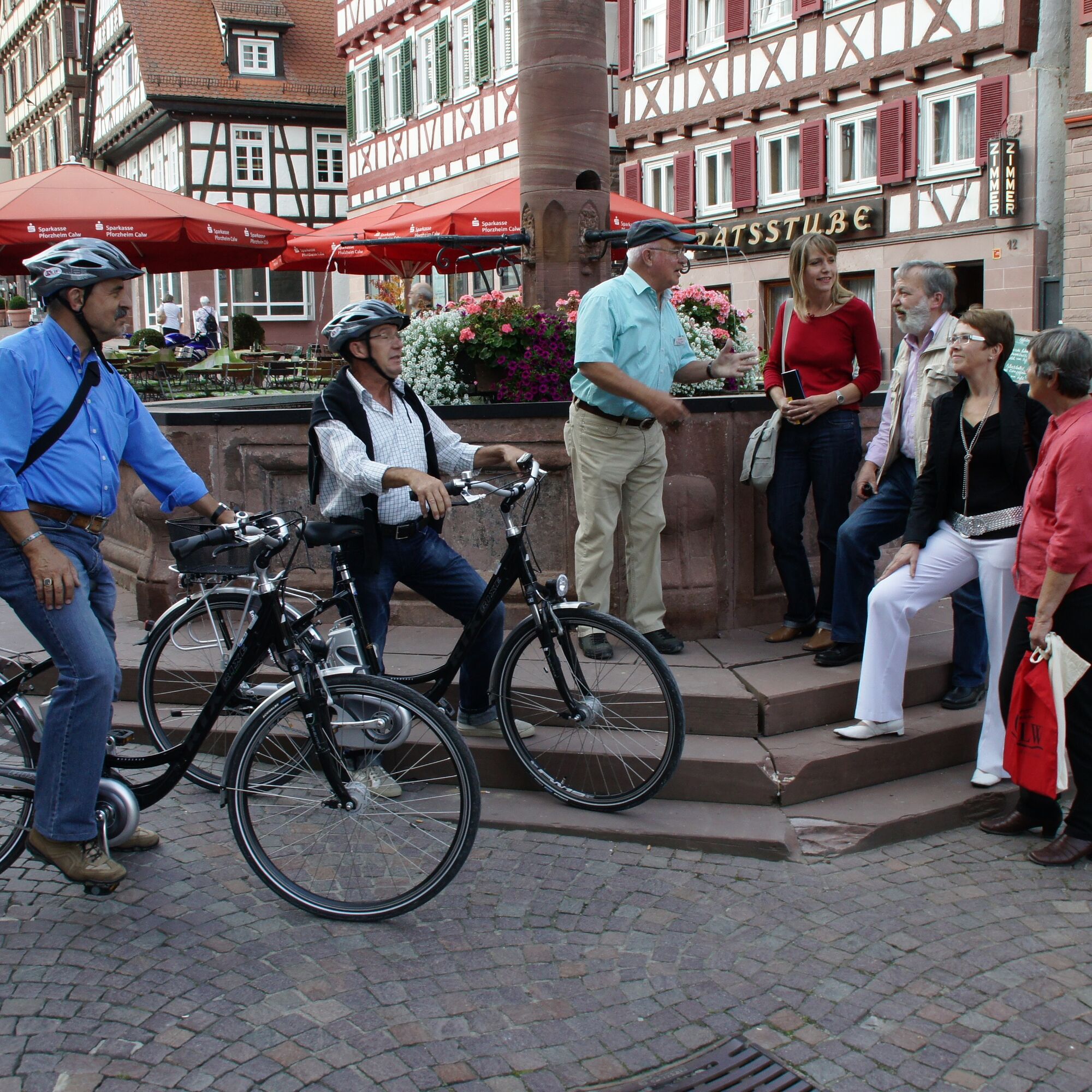
At the Calw Tourist Information, you will receive numerous e-bike route suggestions as well as information about e-bike charging stations.
Uzyskaj wgląd
Zawsze na żywo z ponad 9 500 kamer internetowych. bergfex Jako użytkownik Pro, możesz teraz zobaczyć odpowiednie kamery internetowe dla wielu wycieczek w aplikacji wycieczki od. Pozwala to na bezpośredni podgląd aktualnych warunków.
Popularne wycieczki w okolicy
-
4,6
Hiking through the Monbach Gorge in search of the kingfisher
średniWędrówka 10,5 km -
5,0
Wild romantic Monbach Valley
światłoWędrówka 6,25 km -
4,9
Der Teinacher (Premiumweg & Genießerpfad)
średniWędrówka 12,0 km -
4,0
Wolfsschlucht and Fox Gorge
średniWędrówka 9,74 km -
4,7
Through the wild romantic Schweinbachtal to the Bruderhöhle cave
średniWędrówka 13,8 km -
5,0
Water, Woods and Meadowtrail / Zavelstein > Calw (Premium trail & Genussweg)
ciężkiWędrówka 14,4 km -
5,0
From Bieselsberg into the wild Monbach valley - dream route on small paths
ciężkiWędrówka 18,0 km -
5,0
AugenBlick route Bad Teinach-Zavelstein Zettelberg
ciężkiWędrówka 15,5 km -
5,0
GeoTour Wildberg through the picturesque Lützenschlucht
ciężkiWędrówka 2,80 km -
4,0
Circular route Hirsau - Oberreichenbach - Schweinbachtal - Hirsau
średniWędrówka 10,2 km
Wędrówki i tropienie


Nie przegap ofert i inspiracji na następne wakacje
Twój adres e-mail została dodana do listy mailingowej.





