


Cycle path along the northern Black Forest monastery route - entire route
Poziom trudności: 4
Zdjęcia naszych użytkowników
-
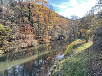
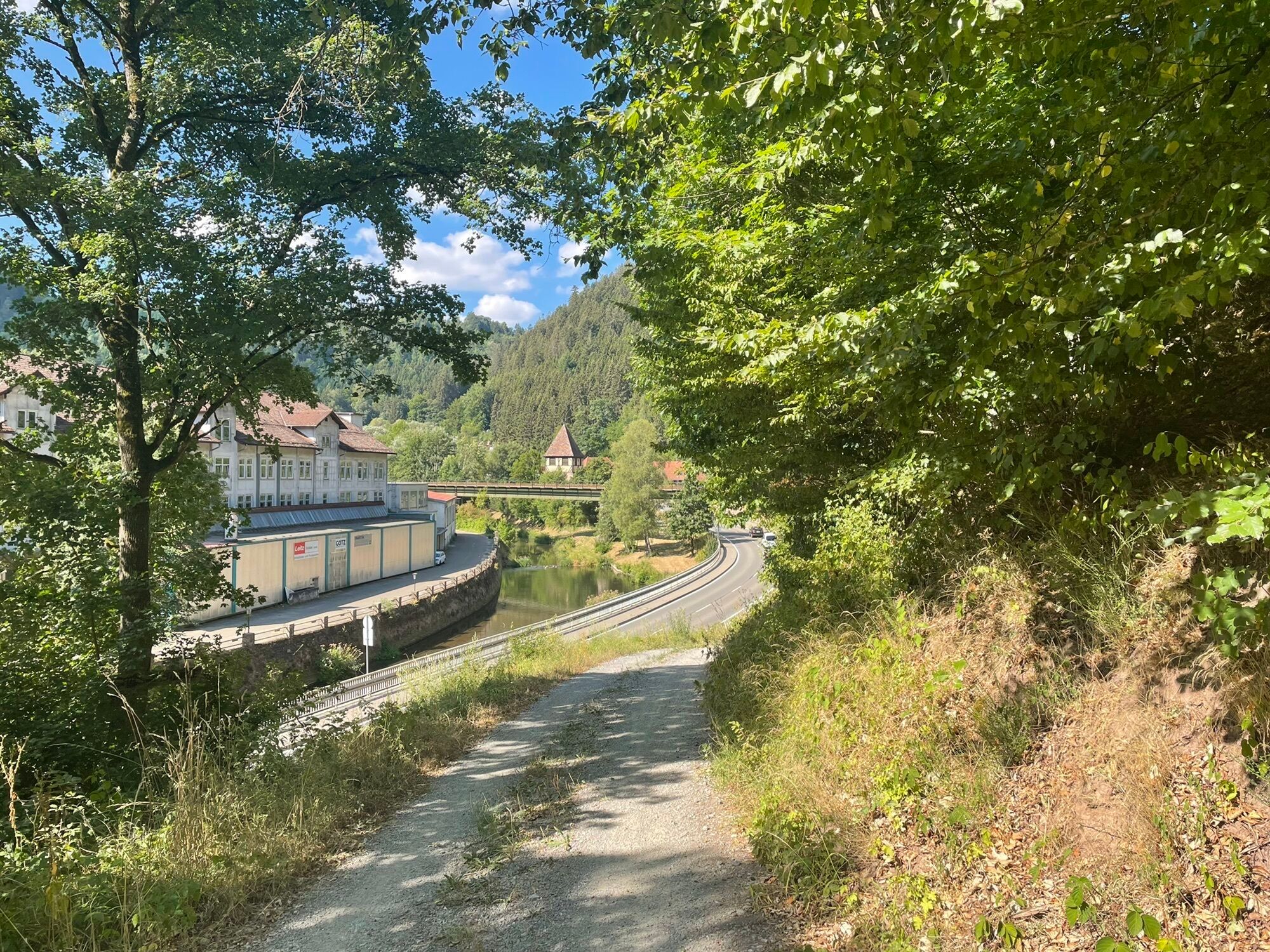
 © holgerwagUtworzono dnia 06.11.2025
 -
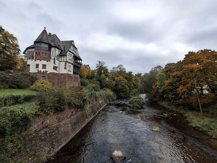
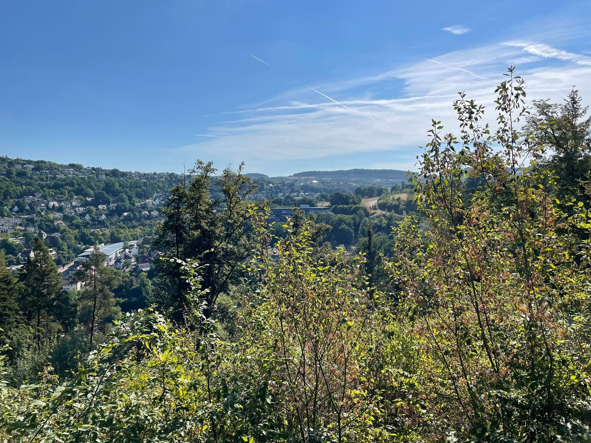
 © Christian KrebsUtworzono dnia 13.10.2025
 -
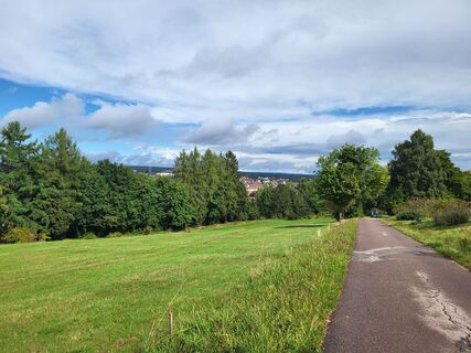
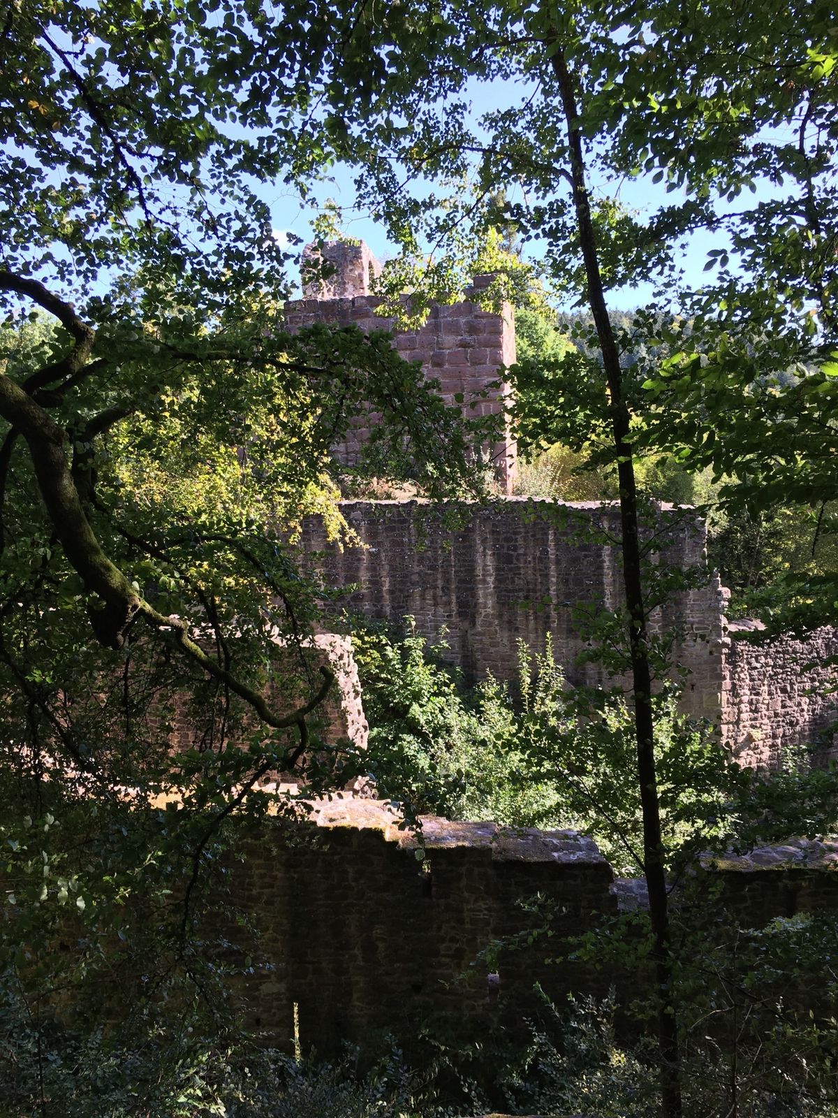
 © yolanda beckUtworzono dnia 05.09.2025
 -
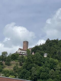
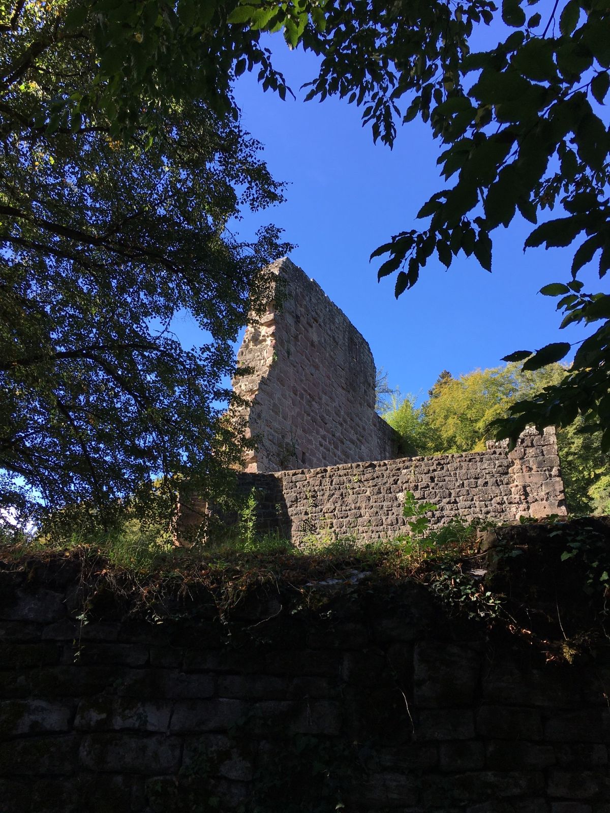
 © Sabine EttischerUtworzono dnia 29.05.2025
 -

 © Apasara ApfelbachUtworzono dnia 30.01.2025
 -
 © Apasara ApfelbachUtworzono dnia 30.01.2025
 -
 © Ralf UmmingerUtworzono dnia 07.08.2022
 -
 © Ralf UmmingerUtworzono dnia 07.08.2022
 -
 © Ralf UmmingerUtworzono dnia 04.10.2020
 -
 © Ralf UmmingerUtworzono dnia 04.10.2020
 -
 © Ralf UmmingerUtworzono dnia 04.10.2020
 -
 © Ralf UmmingerUtworzono dnia 17.08.2019
 -
 © Ralf UmmingerUtworzono dnia 17.08.2019
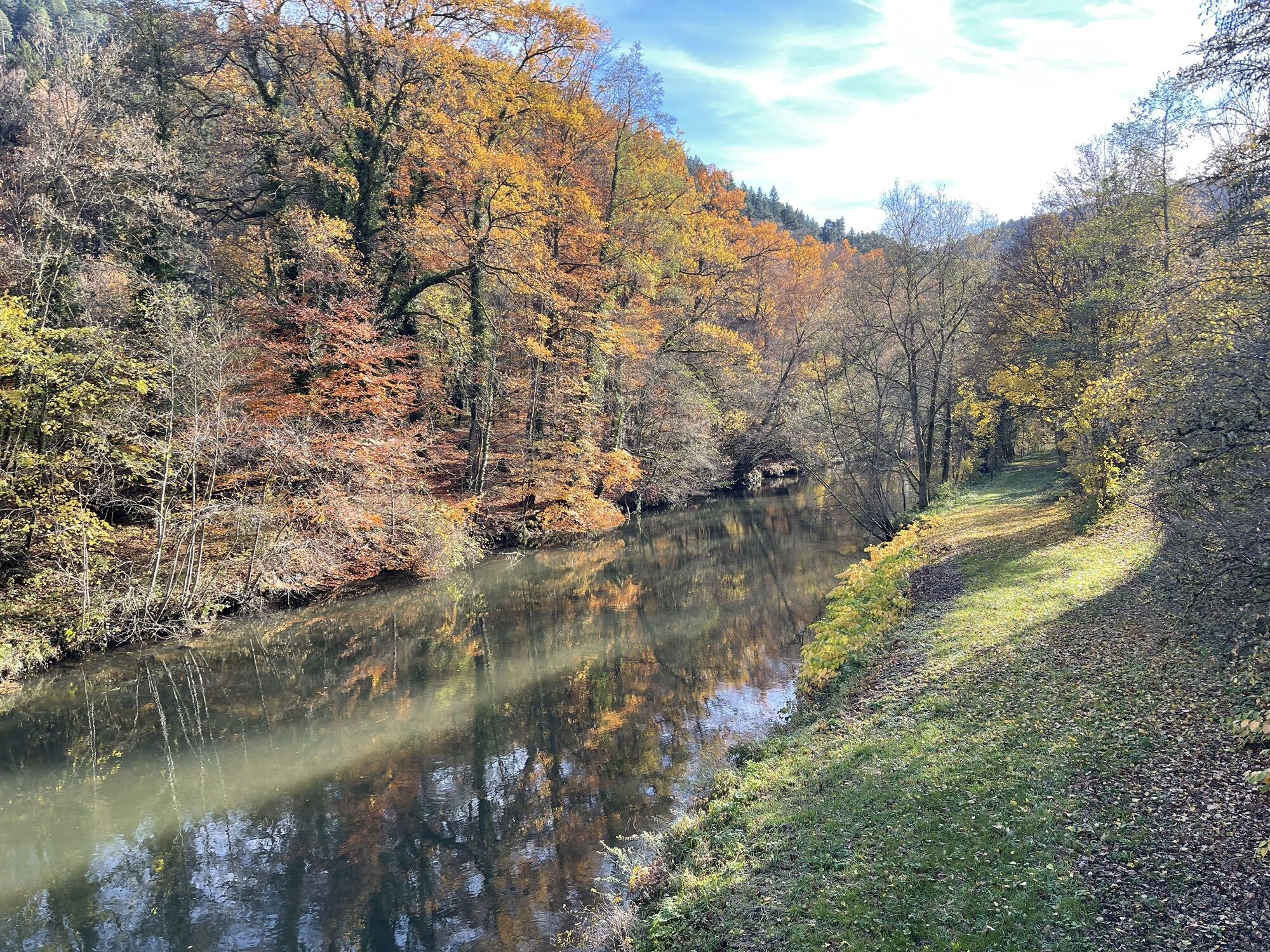


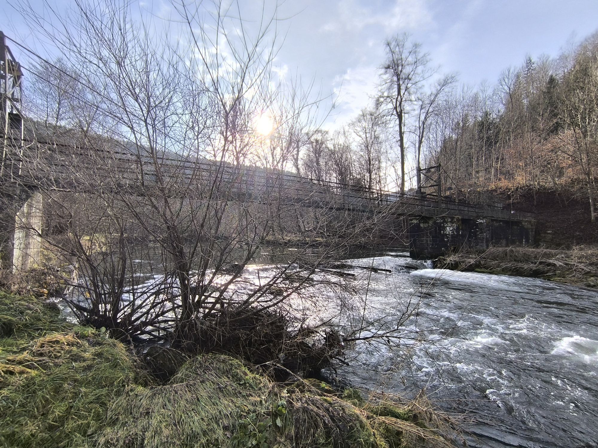
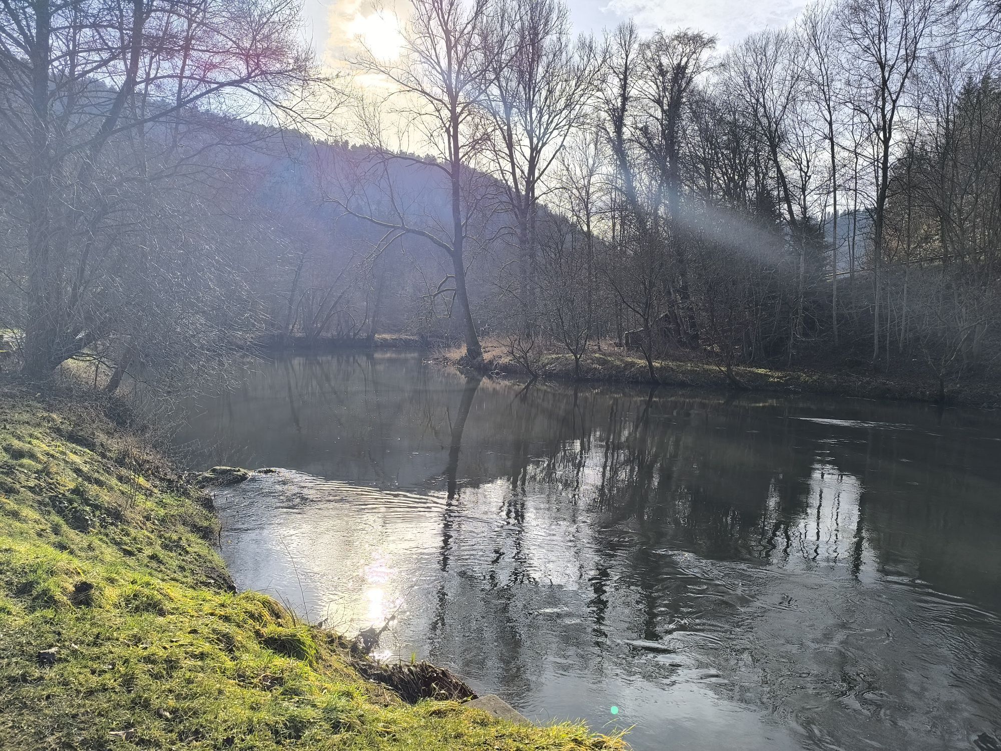


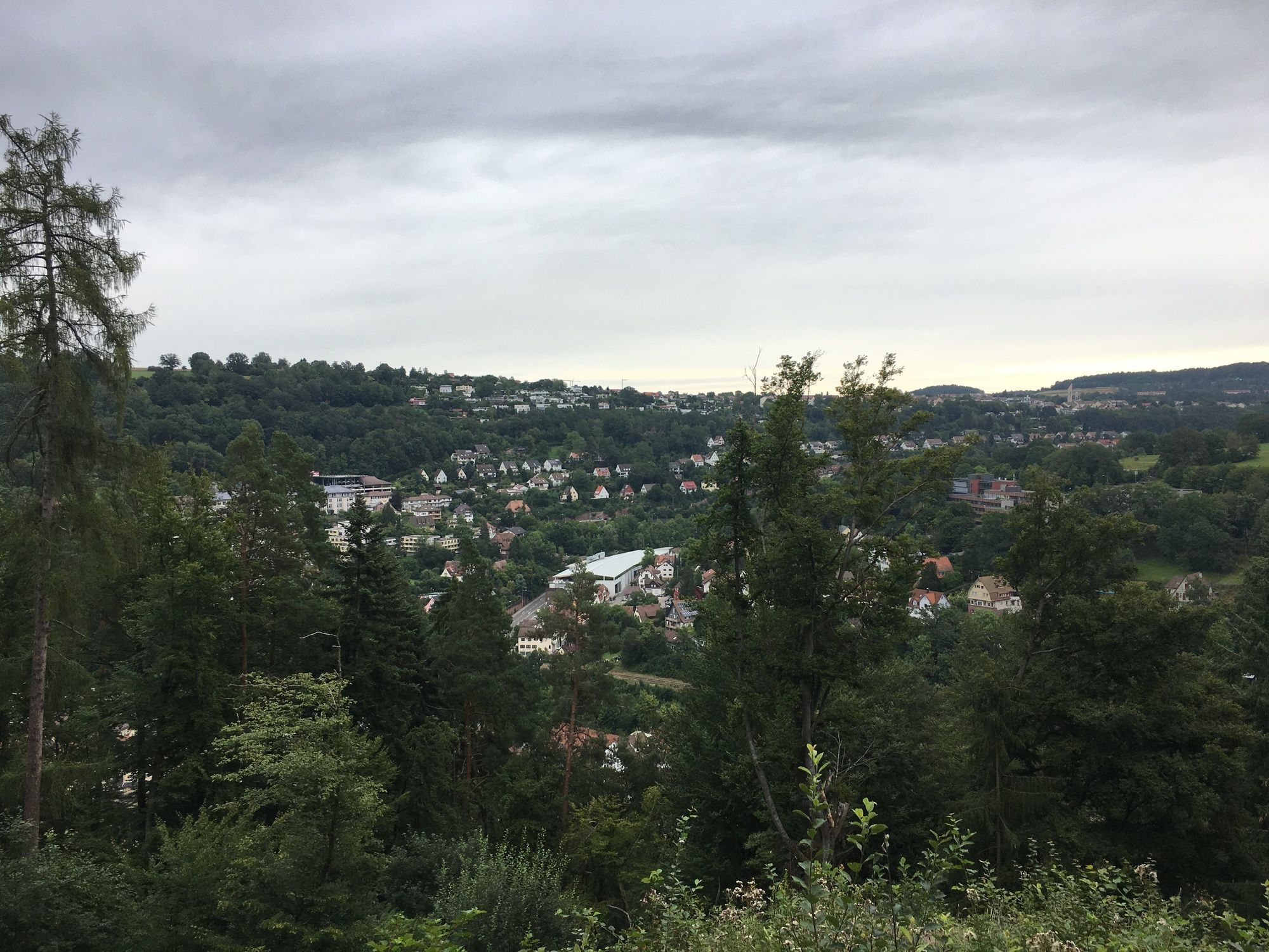
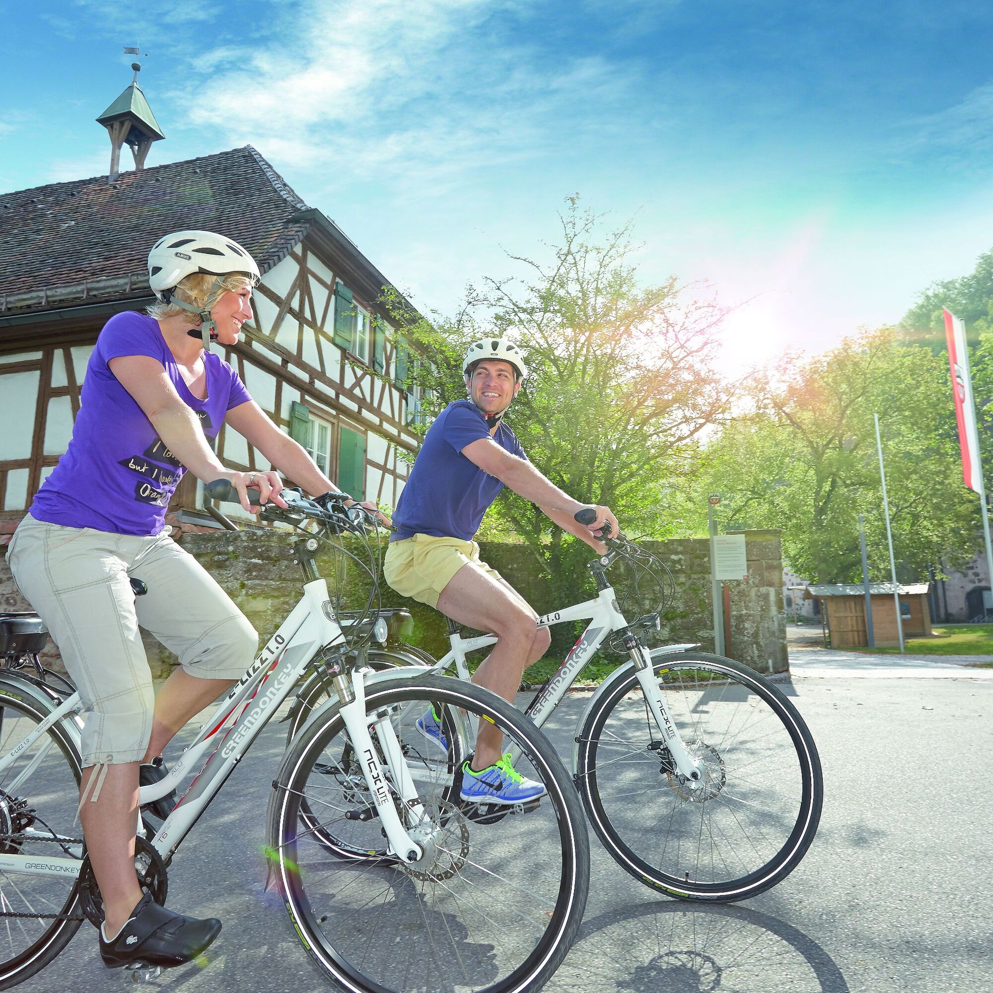
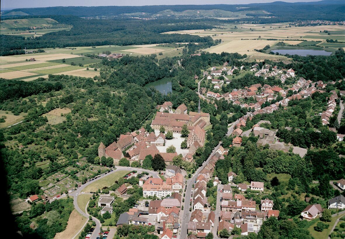
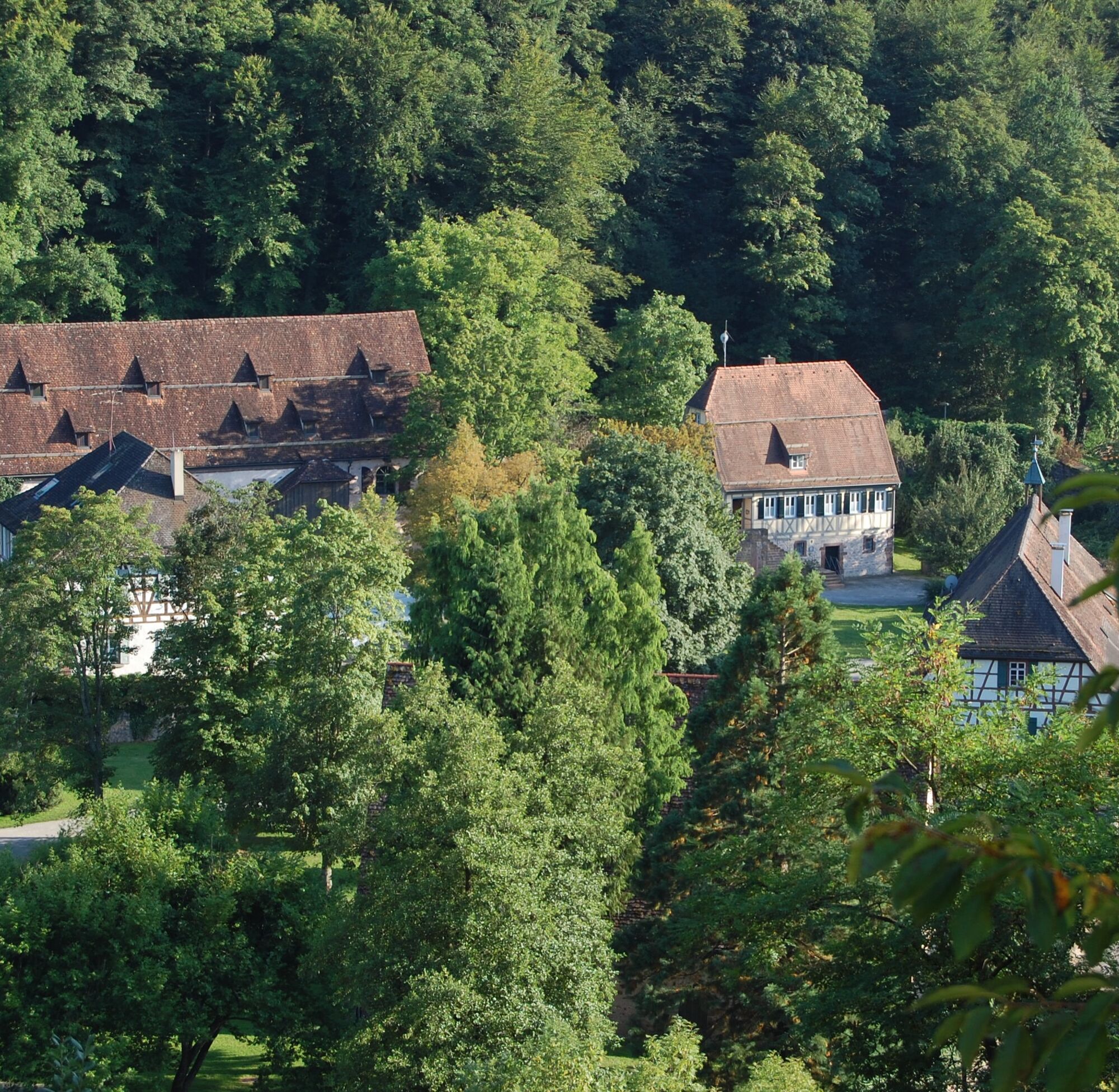
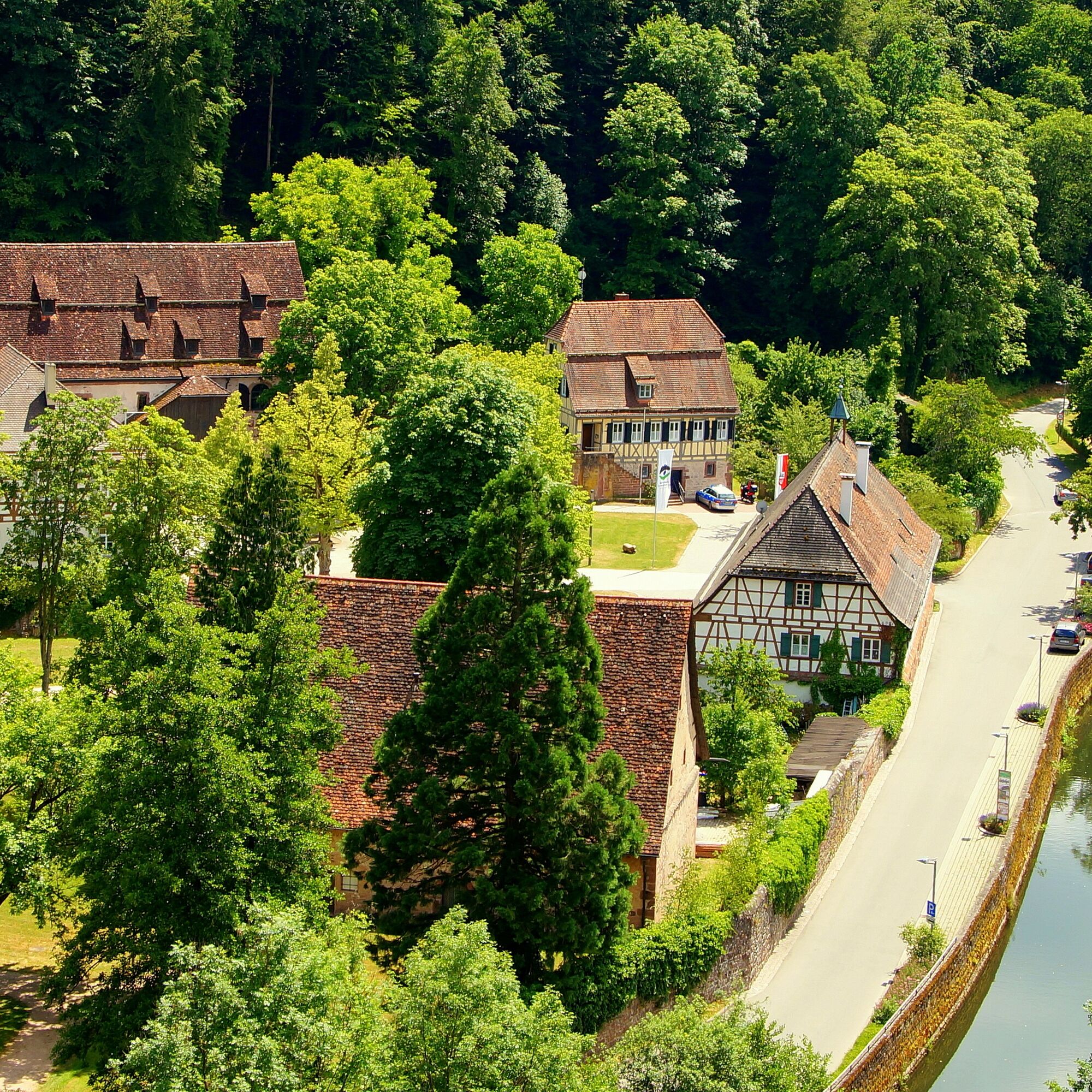
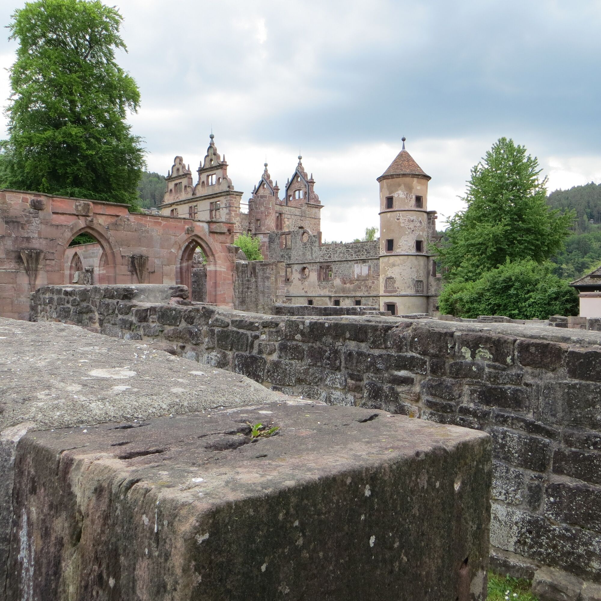
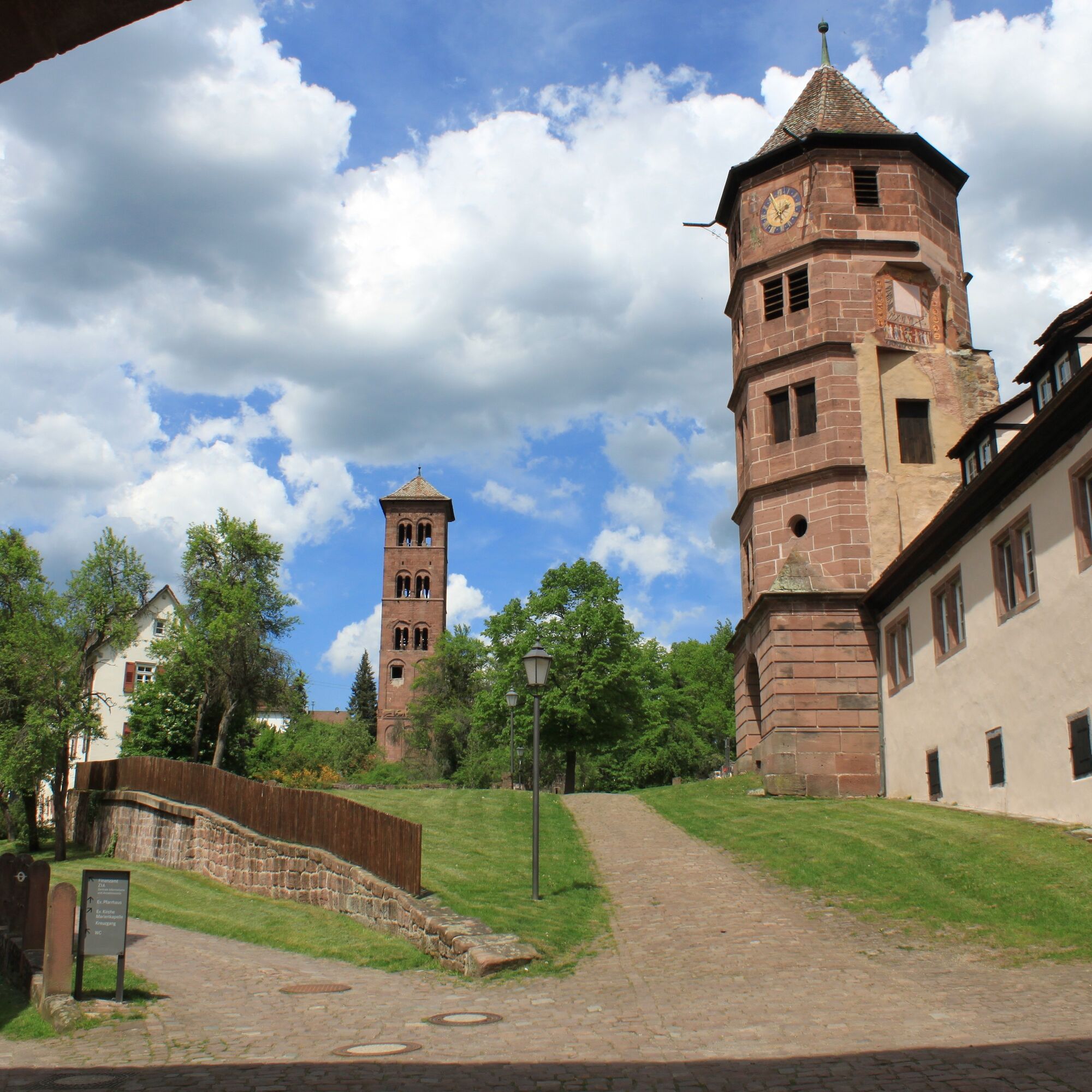
In the valleys of the northern Black Forest lie four monasteries that can be discovered on a three-stage bike route. The starting point of the approximately 145 km long tour is Maulbronn Monastery, which...
In the valleys of the northern Black Forest lie four monasteries that can be discovered on a three-stage bike route. The starting point of the approximately 145 km long tour is Maulbronn Monastery, which is a UNESCO World Heritage site and is known not least because of the Swabian dumplings named after it.
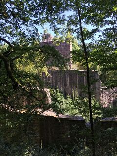
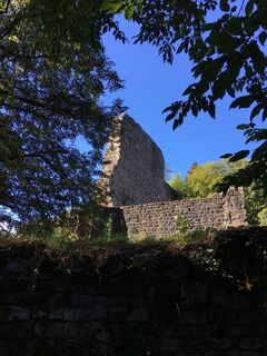
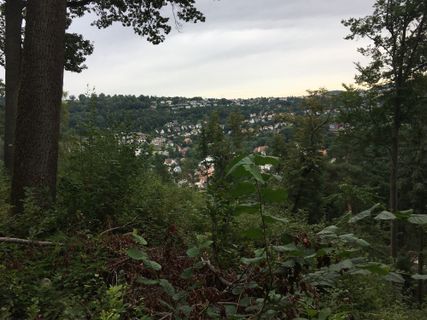
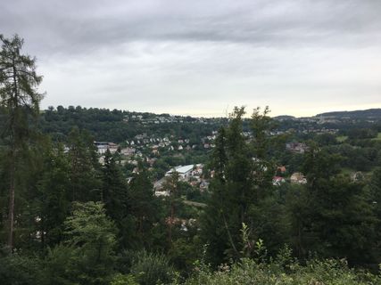
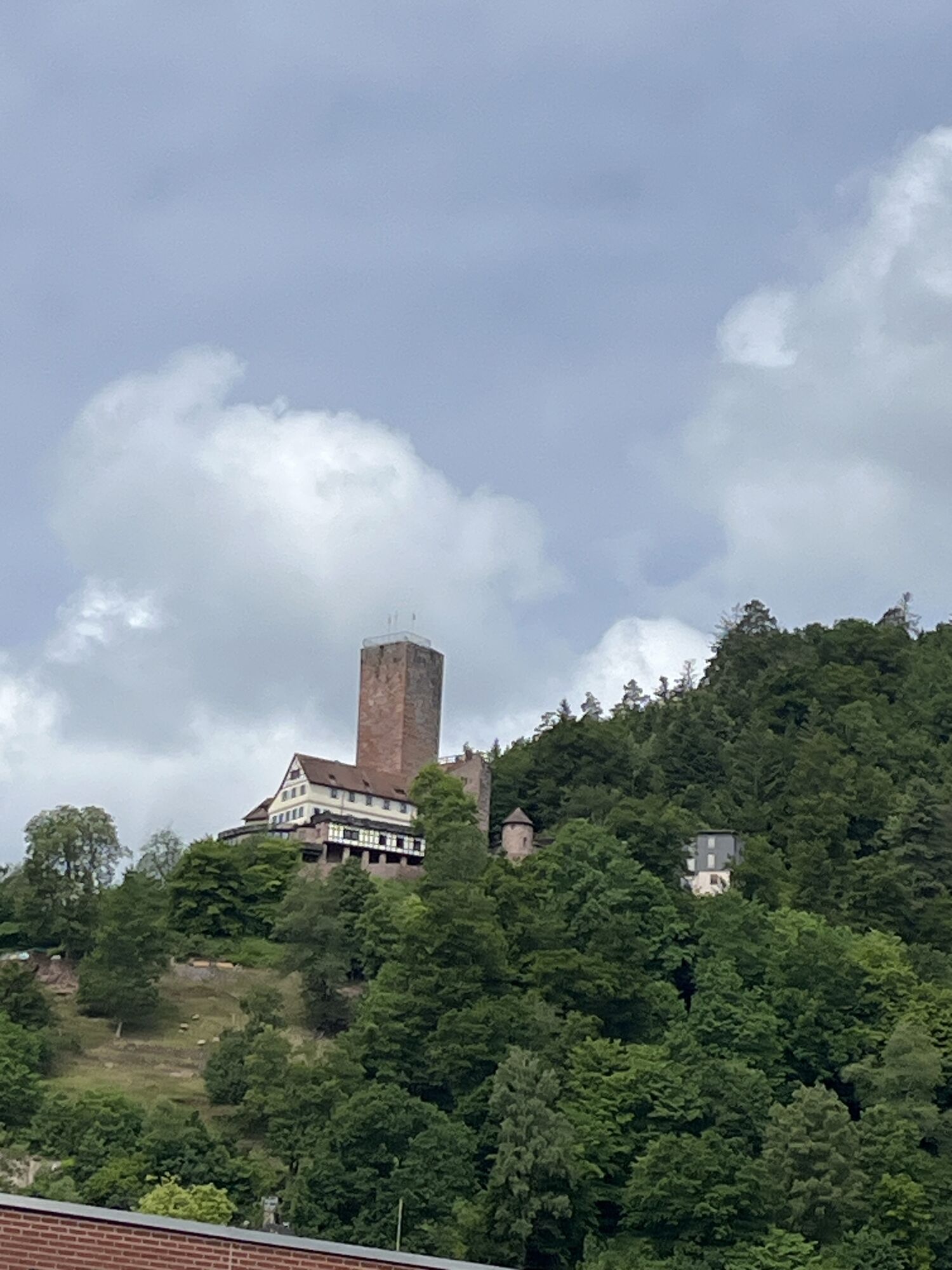
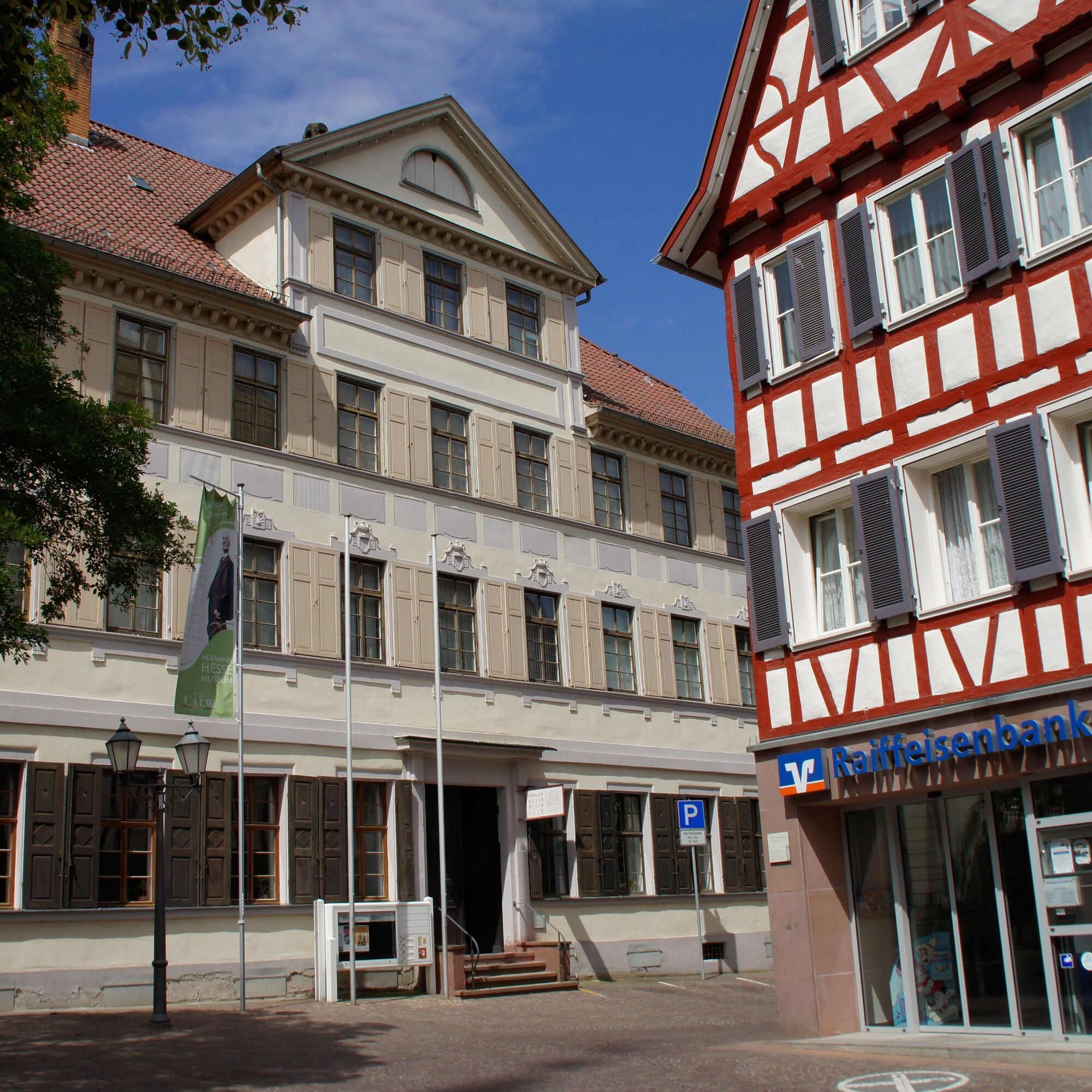
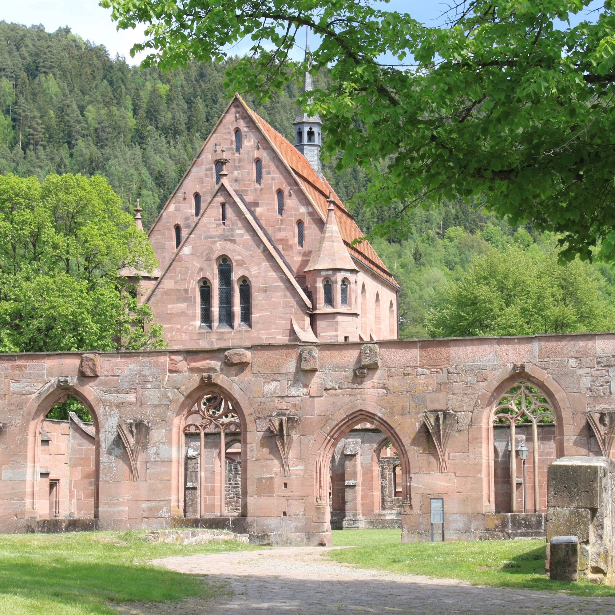
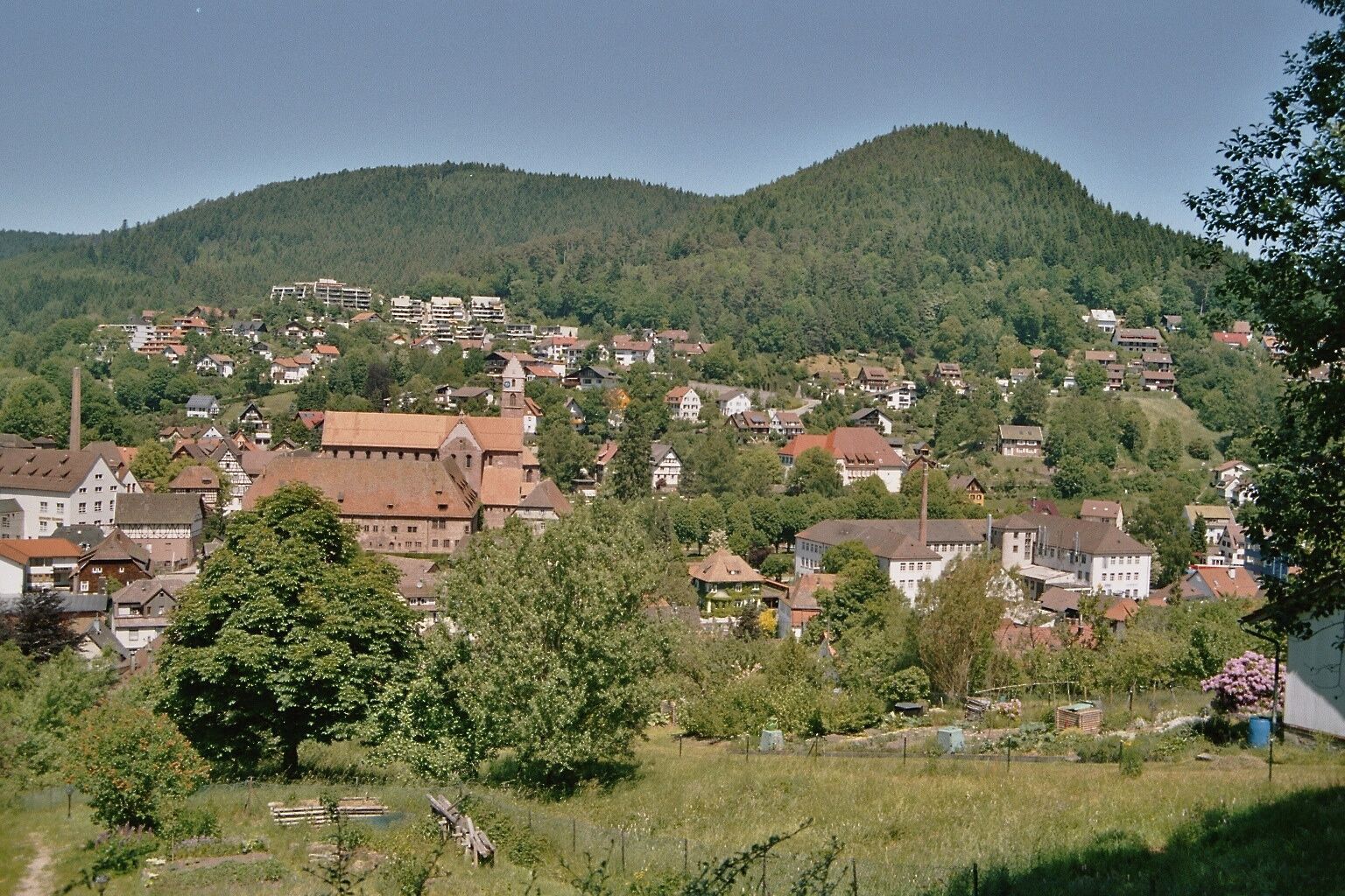
At the end of the first stage, the former Benedictine Abbey of Hirsau is reached, which was once one of the most important complexes in the region. The second stage leads to the Hermann-Hesse and half-timbered town of Calw and onwards to Maria Reuthin Monastery in Wildberg as well as to Kälberbronn, where the final stage of the tour begins on the third day. The destination is Alpirsbach Monastery, which decorates the Kinzig valley with its red sandstone buildings.
Stage 1: Maulbronn - Hirsau (50 km)
Stage 2: Hirsau - Kälberbonn (60 km)
Stage 3: Kälberbonn - Alpirsbach (36 km)
Bike, helmet, comfortable shoes and clothing, optionally cycling gloves, drinking water, possibly provisions
Watch out for oncoming traffic when crossing streets!
Klosterhof 5
75433 Maulbronn
Current departure times are available at 3-Löwen-Takt timetable information.
4
Cyclists with less stamina can ride the route in the opposite direction, then they will face far fewer meters of elevation gain.
Kamery internetowe z trasy
-
Skilift Stokinger
-
Wanderhütte Sattelei
-
Zentraler Omnibus Bahnhof (ZOB)
-
Zentraler Omnibus Bahnhof (ZOB)
-
Zentraler Omnibus Bahnhof (ZOB)
-
Zentraler Omnibus Bahnhof (ZOB)
-
Schafscheuernberg
-
Bad Liebenzell
-
Bad Liebenzell
-
Bad Liebenzell
-
HD Live Webcam Loßburg – Blick vom Kinzighaus im Schwarzwald
-
Freudenstadt - Unteren Marktplatz
-
Freudenstadt - Obere Marktplatz
Popularne wycieczki w okolicy
-
4,7
Through the wild romantic Schweinbachtal to the Bruderhöhle cave
średniWędrówka 13,8 km -
4,5
Wolfsschlucht and Fox Gorge
średniWędrówka 9,74 km -
4,7
premium hiking trail Enzquellenpfad
średniWędrówka 19,9 km -
5,0
Der Teinacher (Premiumweg & Genießerpfad)
średniWędrówka 12,0 km -
5,0
Water, Woods and Meadowtrail / Zavelstein > Calw (Premium trail & Genussweg)
ciężkiWędrówka 14,4 km -
5,0
AugenBlick route Bad Teinach-Zavelstein Zettelberg
ciężkiWędrówka 15,5 km -
5,0
Rundwanderweg Sulzkar
średniWędrówka 12,4 km -
5,0
Hike through the idyllic Kälbertal
średniWędrówka 8,01 km -
5,0
GeoTour Wildberg through the picturesque Lützenschlucht
ciężkiWędrówka 2,80 km -
From nature experience to active experience
światłoWędrówka 10,5 km

Wędrówki i tropienie


Nie przegap ofert i inspiracji na następne wakacje
Twój adres e-mail została dodana do listy mailingowej.