






Snowshoeing itinerary : Le Beisseil
The wide path makes for easy progress, and the stone snail encountered along the way reminds us that sometimes moving slowly is the best way to savour the moment.

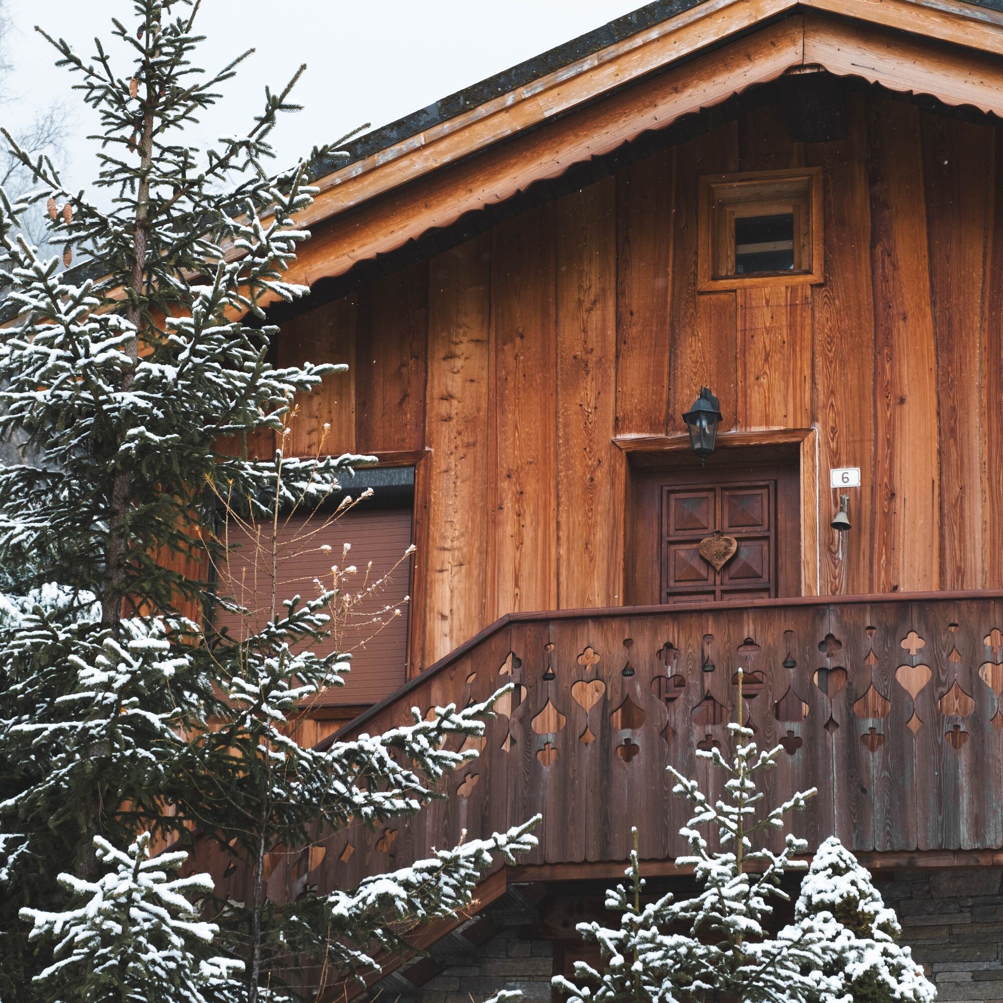

1/ From the La Norma Tourist Office, take the road out of the resort center to La Pyramide, via La Barrière and up two hairpin bends.
2/ 0 h 15 - At La Pyramide, follow signs for Bramans to reach a wide forest track, then continue to the La Pierre à Bec crossroads.
3/ 0 h 40 - At this crossroads, take the path leading up to La Rota. Once there, continue straight on down to Route de Sainte Anne.
4/ 1 h 50 - At Route de Sainte-Anne, follow signs for La Norma Village, then Chemin de Villarodin, and back to La Pierre à Bec.
5/ 2 h 10 - At La Pierre à Bec, take the same route as before to return to the resort center.
6/ 2 h 45 - La Norma Tourist Office.
Tak
Find out about weather conditions and avalanche risk before you set off (weather services, mountain rescue services, professionals, tourist office...).
Equipment and clothing must be adapted to the forecast.
Postpone your activity if the weather forecast is poor. Follow safety instructions and do not venture off the marked routes in winter.
Uzyskaj wgląd
Zawsze na żywo z ponad 9 500 kamer internetowych. bergfex Jako użytkownik Pro, możesz teraz zobaczyć odpowiednie kamery internetowe dla wielu wycieczek w aplikacji wycieczki od. Pozwala to na bezpośredni podgląd aktualnych warunków.
Popularne wycieczki w okolicy
-
5,0
BARDONECCHIA Colle Sommeiller
średniMountainbike 25,4 km -
5,0
BARDONECCHIA Forte Jafferau Loop
ciężkiMountainbike 36,8 km -
4,5
BARDONECCHIA Walter Bonatti Path - Grange della Rho
średniWędrówka 6,06 km -
5,0
BARDONECCHIA Decauville
średniWędrówka 7,29 km -
BARDONECCHIA Monte Jafferau
ciężkiWędrówka 11,6 km -
BARDONECCHIA Rochemolles Dam - Scarfiotti Refuge
średniWędrówka 7,77 km -
4,0
BARDONECCHIA Sentiero dei Cosetti by Luciano Ferraris
światłoWędrówka 3,24 km -
BARDONECCHIA Frejusia Basins - Decauville - Rochemolles Dam
światłoMountainbike 7,54 km -
5,0
BARDONECCHIA Decauville
światłoRakieta do chodzenia po śniegu 4,11 km -
5,0
BARDONECCHIA Caserma L - Pian dei Morti
ciężkiWędrówka 7,04 km
Wędrówki i tropienie


Nie przegap ofert i inspiracji na następne wakacje
Twój adres e-mail została dodana do listy mailingowej.





