







BARDONECCHIA Walter Bonatti Path - Grange della Rho
Poziom trudności: T2
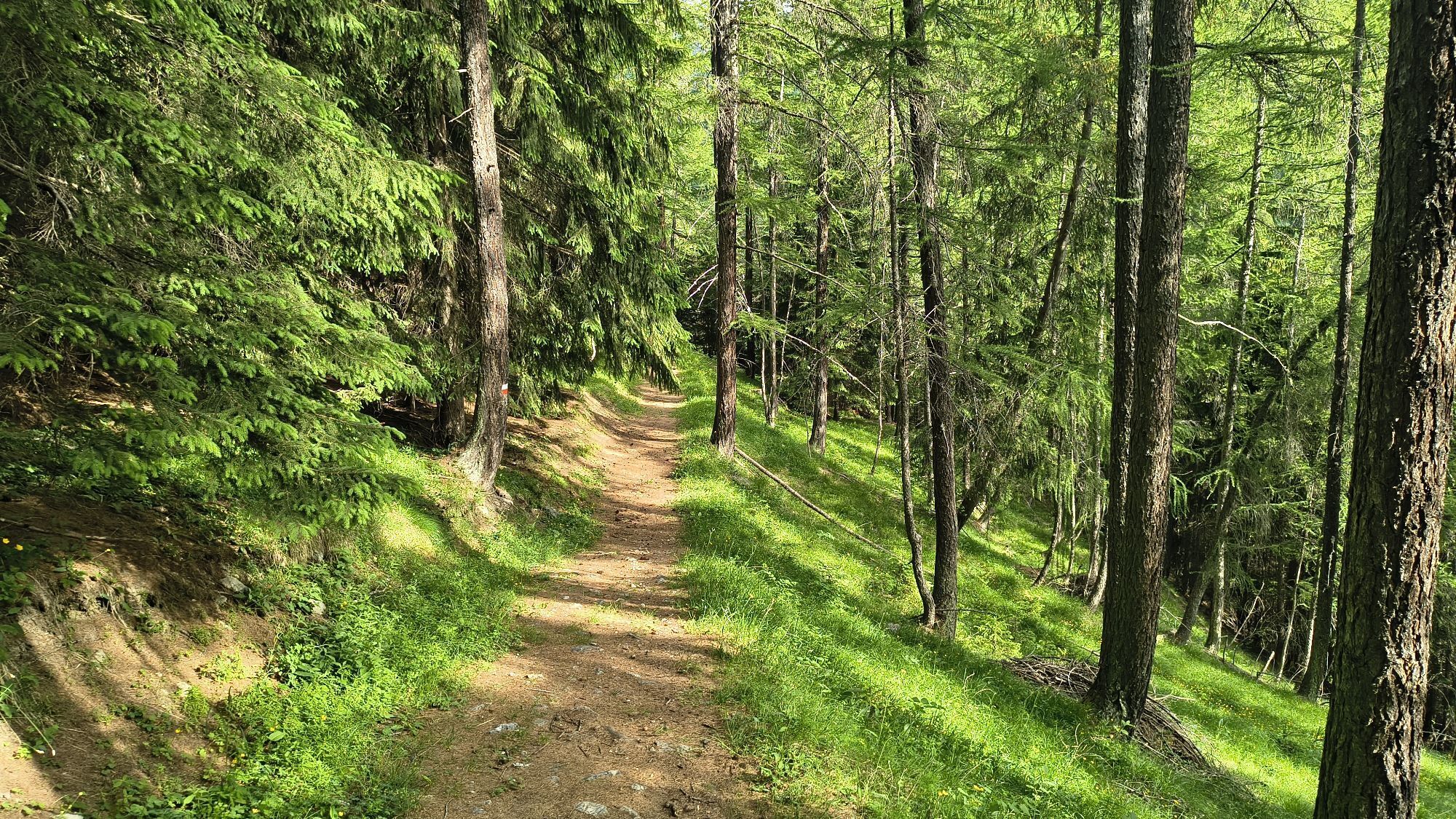
The route winds through a conifer forest, crosses a charming little bridge over the Rio Della Rho and reaches the characteristic hamlet Granges La Rho with its ancient Chapel of Santa Margherita and San...
The route winds through a conifer forest, crosses a charming little bridge over the Rio Della Rho and reaches the characteristic hamlet Granges La Rho with its ancient Chapel of Santa Margherita and San Sebastiano

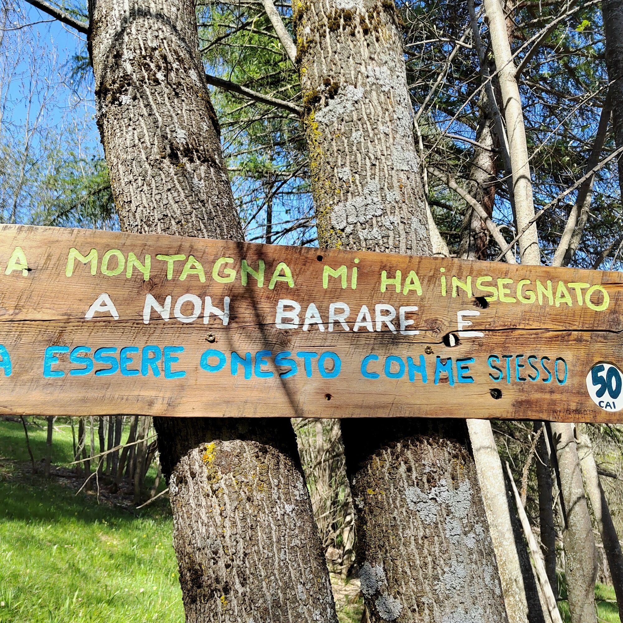

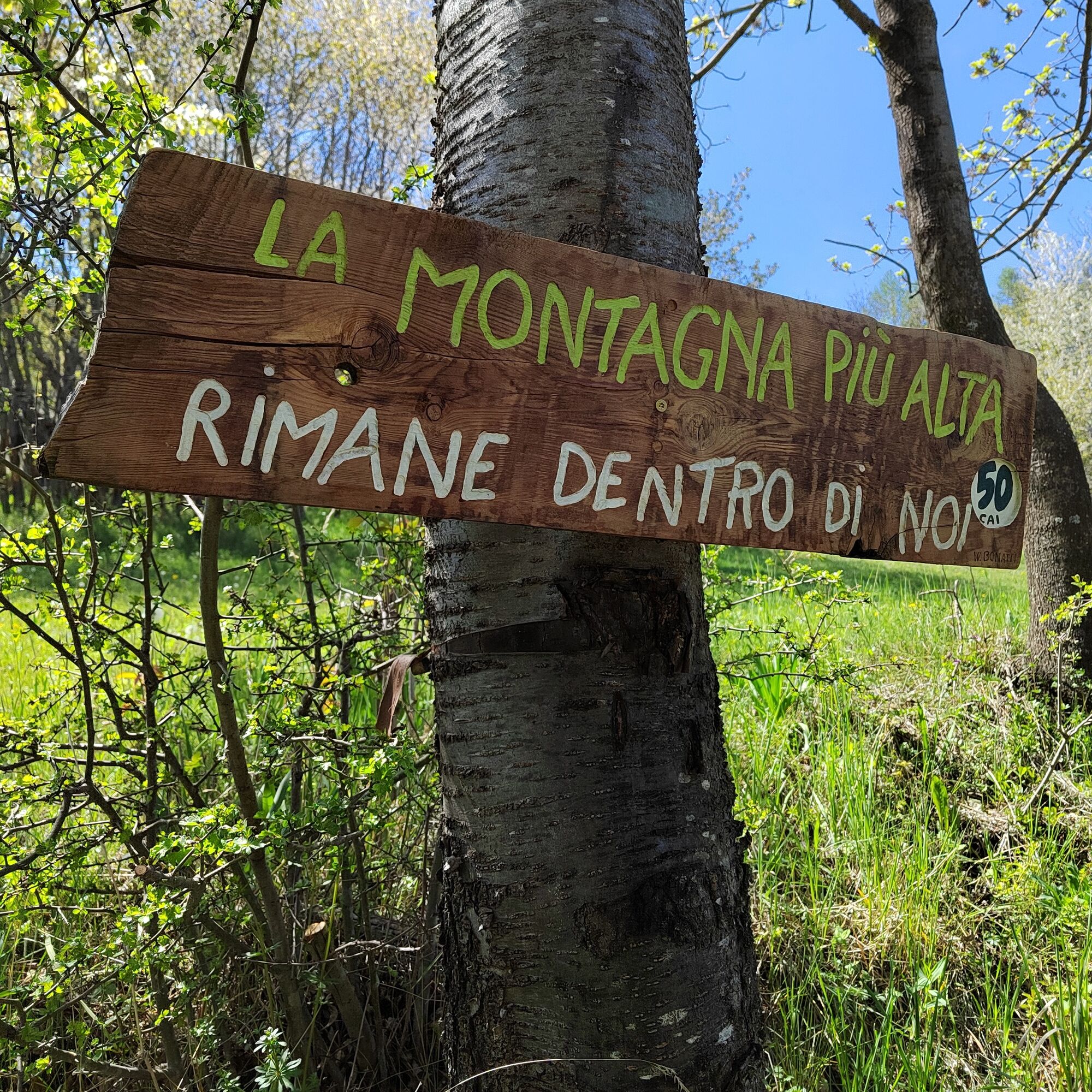
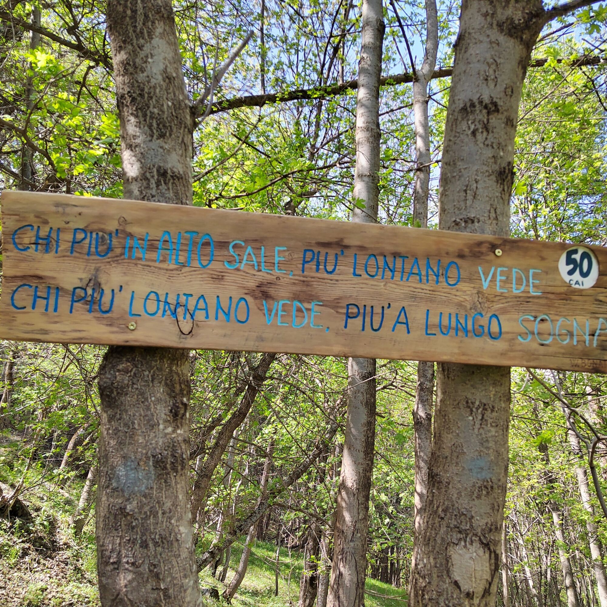
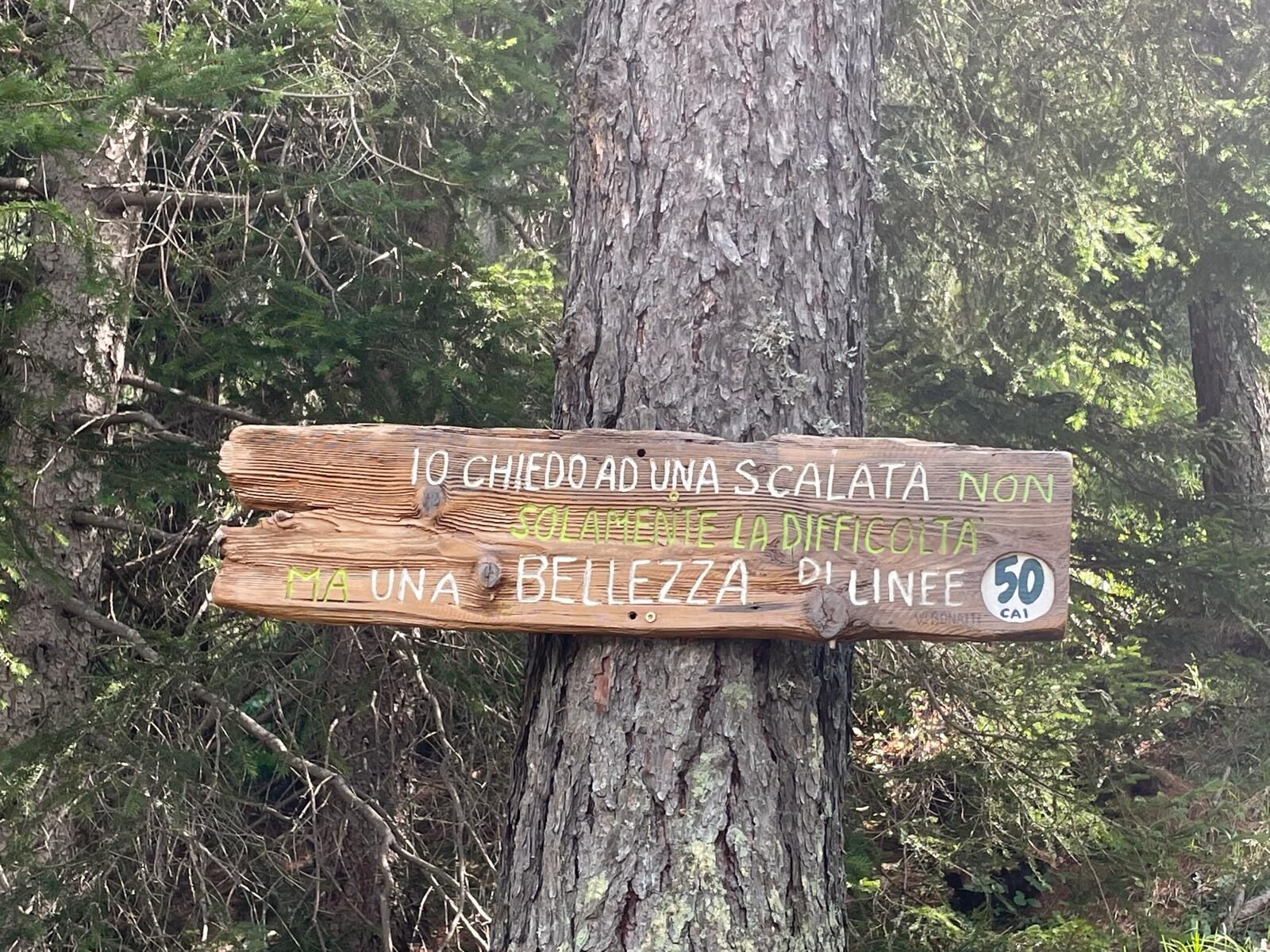
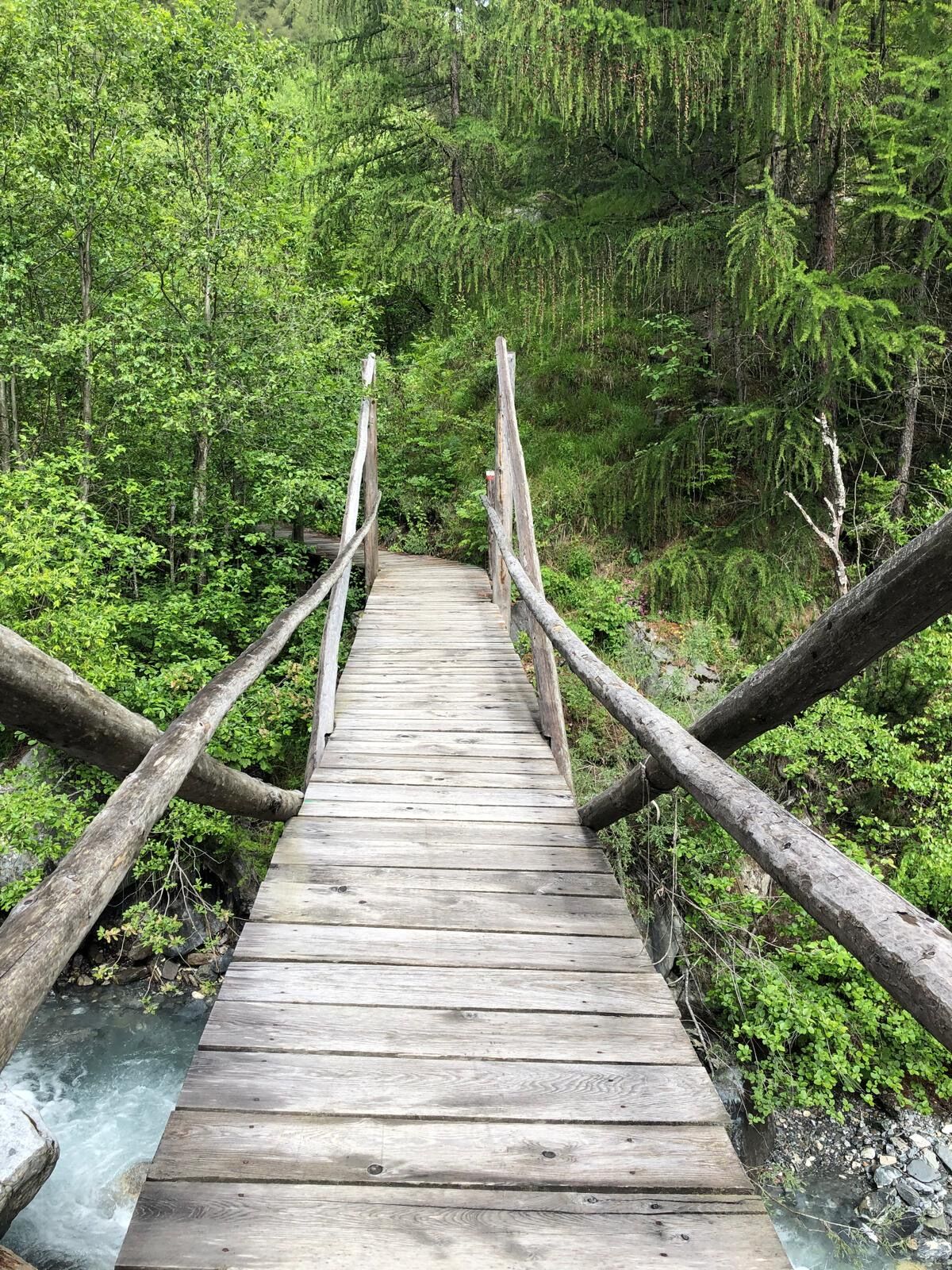
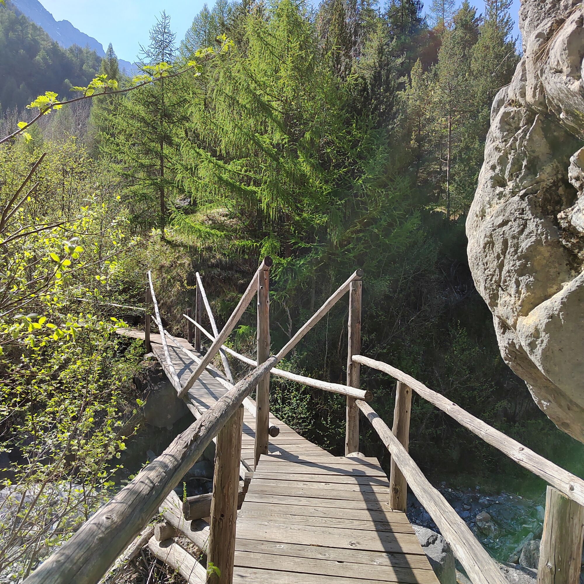
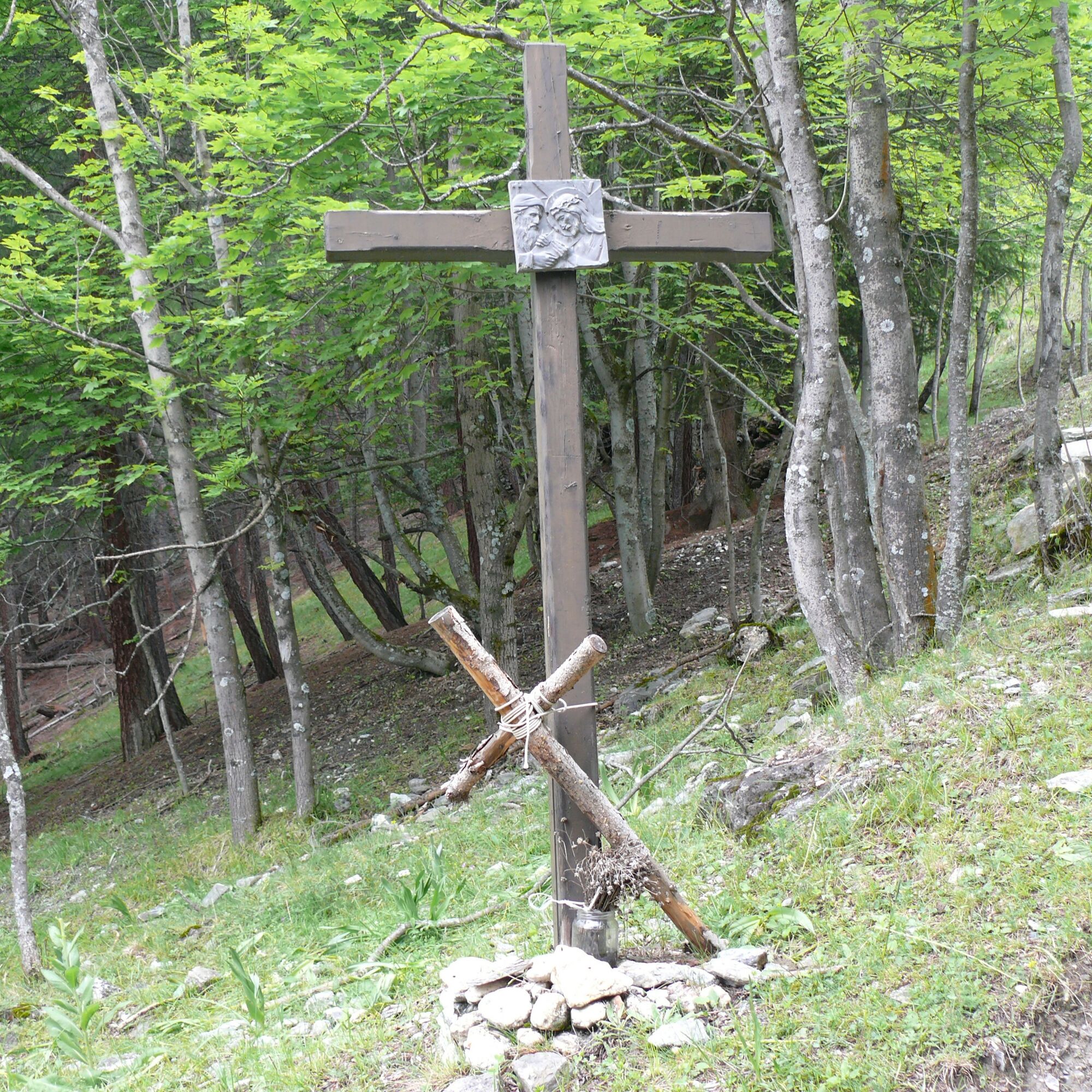
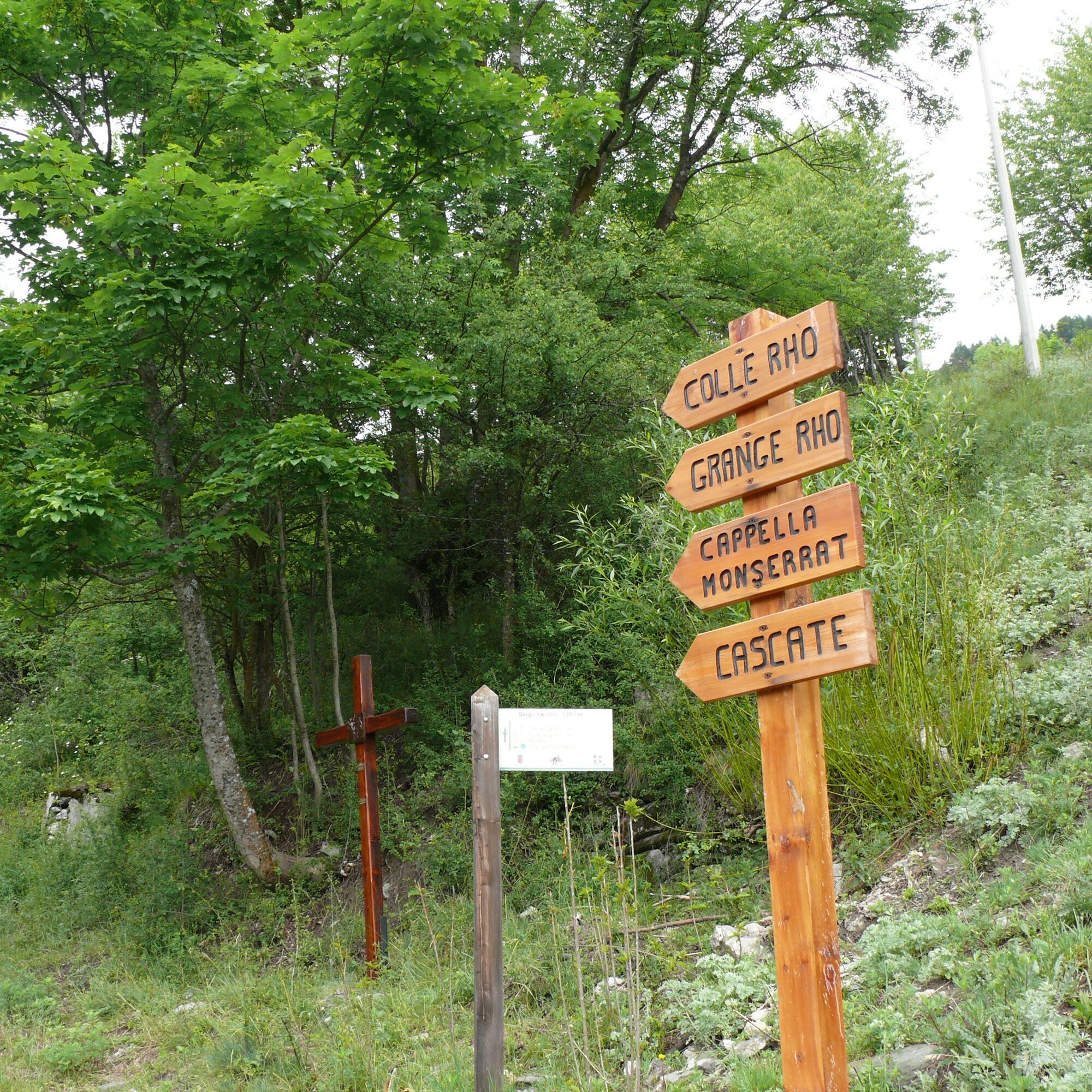

From Piazza Campo della Fiera go up to the bridge, cross it and continue on the right along the dirt road that steadily climbs towards Poggio Tre Croci. After some hairpin bends, at the height of a notice board, take the flat path on the right (signposted Granges La Rho); descend to the Rio della Rho, cross the little bridge and climb up the other side. Follow the path to a small clearing and at the fork keep left to reach Granges la Rho and the Chapel of St. Margherita and St. Sebastian. Return to Bardonecchia by descending along the mule track of the “Via Crucis” which quickly leads back to Piazza Campo della Fiera.
Tak
Trekking shoes
Pay attention to the downhill section before the little bridge over Rio della Rho: it could be slippery
By car:
- Autostrada A32 Torino - Bardonecchia, Bardonecchia exit
- Strada Statale 24: Torino - Oulx, then Strada Statale 335: Oulx - Bardonecchia
Once you reach Bardonecchia head towards Borgovecchio and reach Piazza Campo della Fiera.
By train:
- line Torino Porta Nuova - Bardonecchia
Once you arrive at Bardonecchia:
- from Hotel La Betulla (100 m from the train station) take the free shuttle of Circular 2 to Piazza Suspize and continue on foot through Borgovecchio to Piazza Campo della Fiera.
- from Hotel La Betulla (100 m from the train station) take the free shuttle of Line 4 to Piazza Campo della Fiera.
To know the shuttle schedules click here.
There is a large free parking lot in Piazza Campo della Fiera.
T2
Bring water with you; there are no fountains along the route
Notice the wooden panels, about twenty, found along the route that feature the most famous quotes of the mountaineer Walter Bonatti


Kamery internetowe z trasy
Uzyskaj wgląd
Zawsze na żywo z ponad 9 500 kamer internetowych. bergfex Jako użytkownik Pro, możesz teraz zobaczyć odpowiednie kamery internetowe dla wielu wycieczek w aplikacji wycieczki od. Pozwala to na bezpośredni podgląd aktualnych warunków.

Popularne wycieczki w okolicy
-
5,0
BARDONECCHIA Colle Sommeiller
średniMountainbike 25,4 km -
4,5
BARDONECCHIA Pian del Colle - Valle Stretta
średniRakieta do chodzenia po śniegu 5,02 km -
5,0
BARDONECCHIA Forte Jafferau Loop
ciężkiMountainbike 36,8 km -
5,0
BARDONECCHIA Green Lake
światłoWędrówka 2,14 km -
5,0
BARDONECCHIA Decauville
średniWędrówka 7,29 km -
5,0
BARDONECCHIA Col des Acles - Passo della Mulattiera
średniWędrówka 6,23 km -
BARDONECCHIA Monte Jafferau
ciężkiWędrówka 11,6 km -
BARDONECCHIA Lago Verde
światłoMountainbike 10,7 km -
3,5
BARDONECCHIA Sentiero dei Cosetti by Luciano Ferraris
światłoWędrówka 3,24 km -
GR® 57 Tour de la Haute-Clarée
średniWędrówka 83,8 km
Wędrówki i tropienie


Nie przegap ofert i inspiracji na następne wakacje
Twój adres e-mail została dodana do listy mailingowej.





