







BARDONECCHIA Forte Jafferau Loop

Poziom trudności: S2
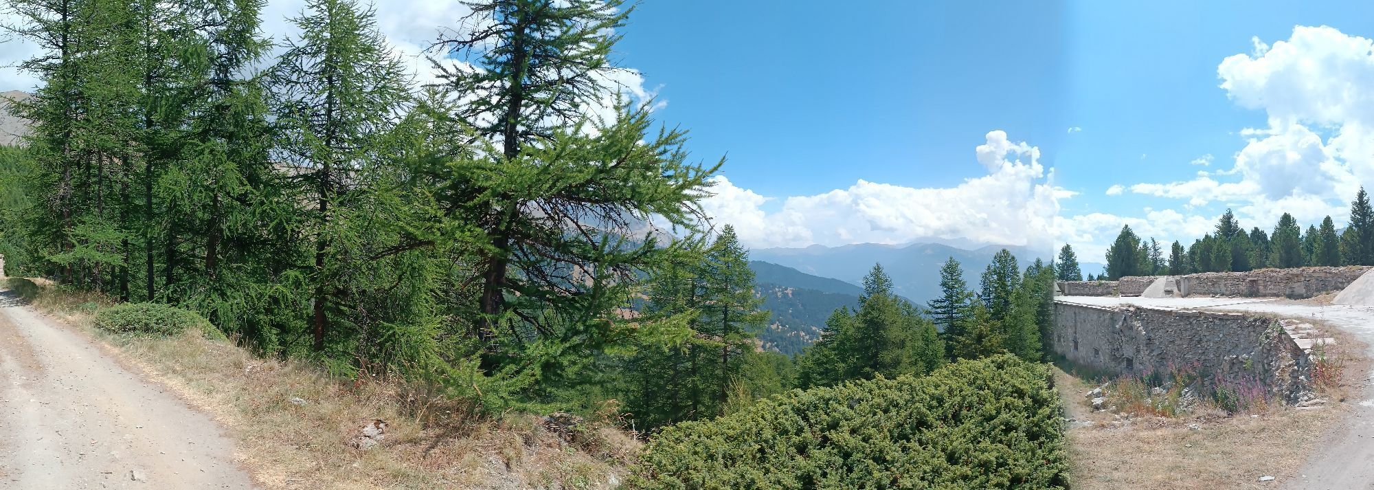
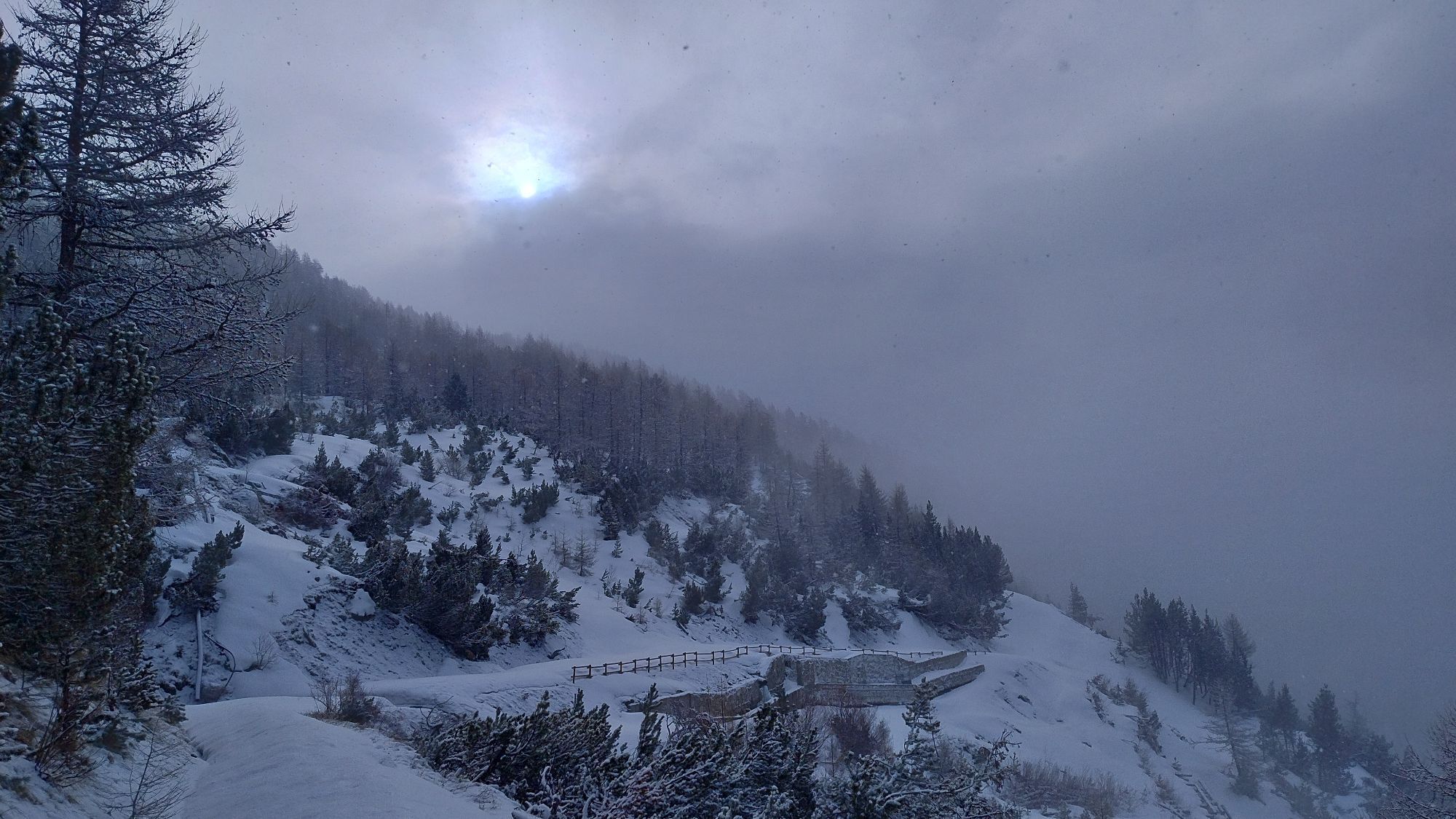
The itinerary initially retraces the legendary climb to the Bacini dello Jafferau, which was the stage finish of the Giro d’Italia several times in 1972, 2013 and 2018. Along the climb you pass through...
The itinerary initially retraces the legendary climb to the Bacini dello Jafferau, which was the stage finish of the Giro d’Italia several times in 1972, 2013 and 2018. Along the climb you pass through the characteristic villages of Millaures and Gleise. The route continues through a conifer forest up to Forte Foens and then continues at altitude along the ancient panoramic military road linking the forts until reaching Forte Jafferau, the highest fortification in the Cottian Alps.
The descent is on the service road of the ski lifts among the slopes of the Jafferau ski area.
The Jafferau and Foens Batteries were built at the end of the 19th century as defensive works. The Jafferau Battery also had an offensive role.
Technical consultancy by Andrea Calzati - cycling tour guide

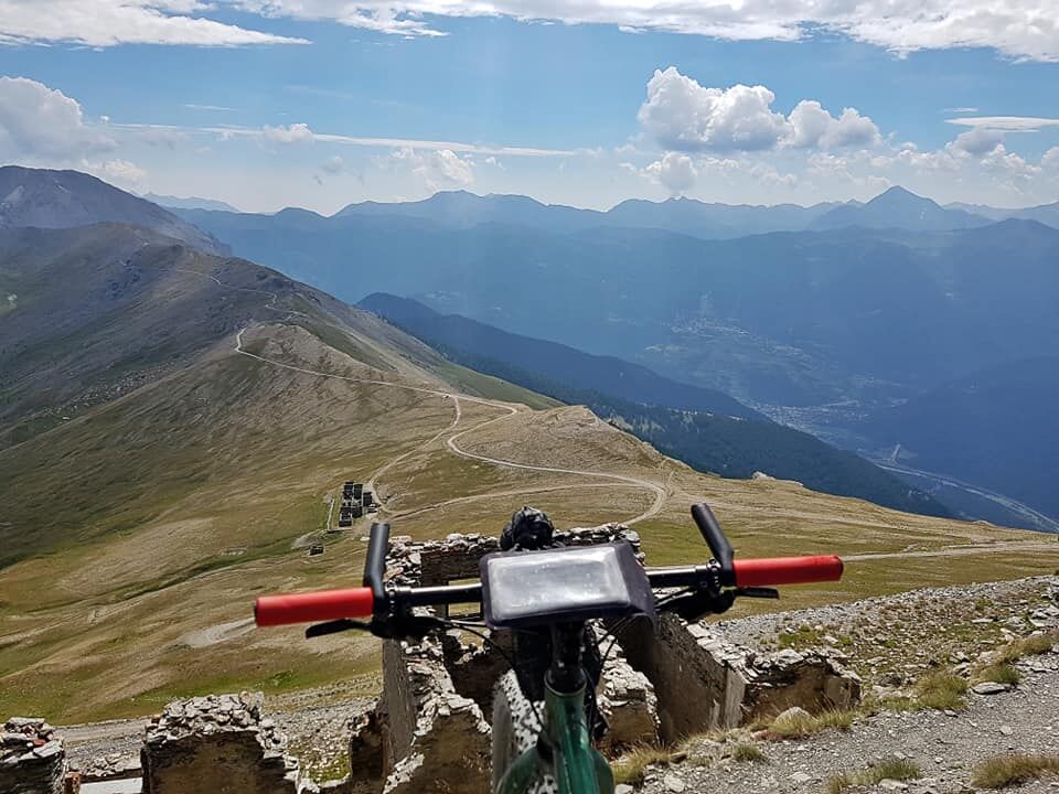
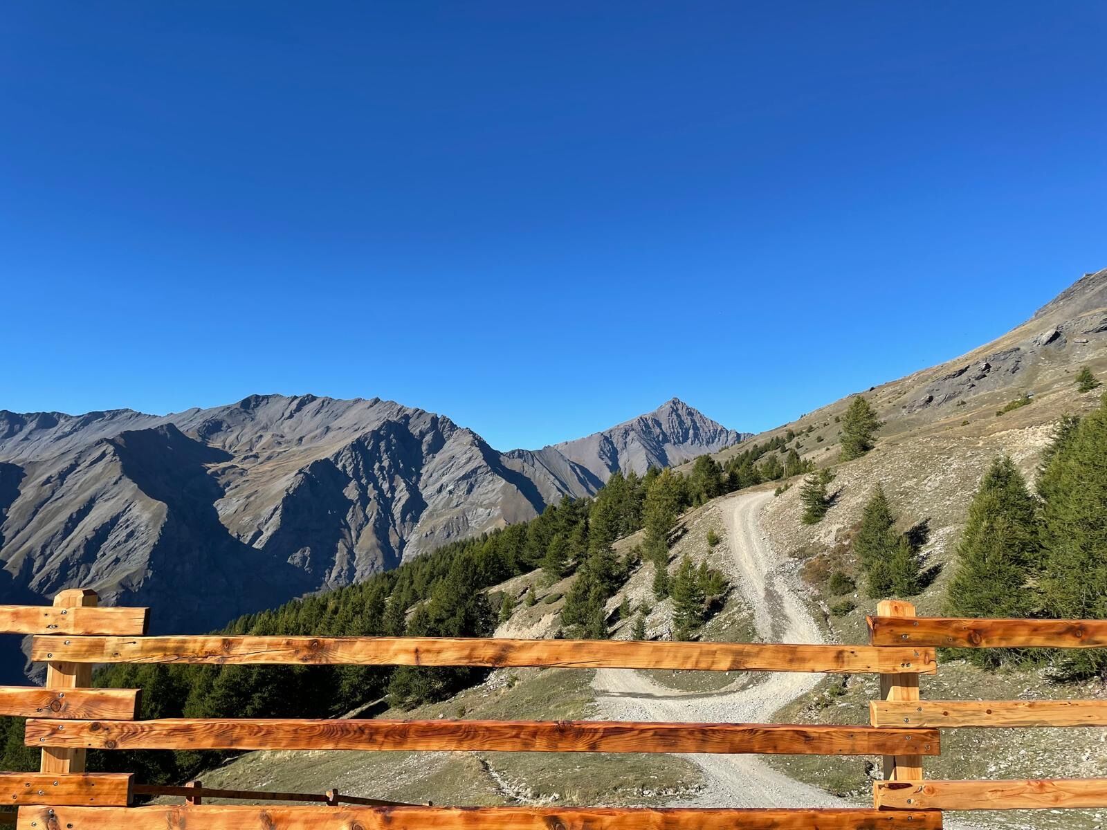
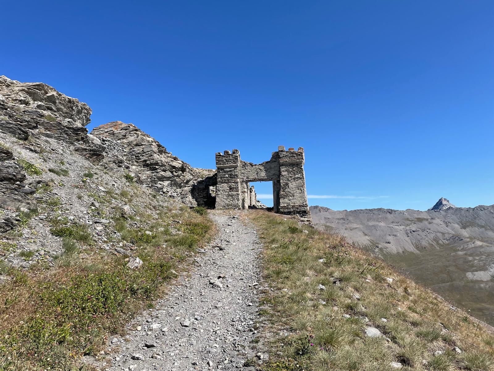

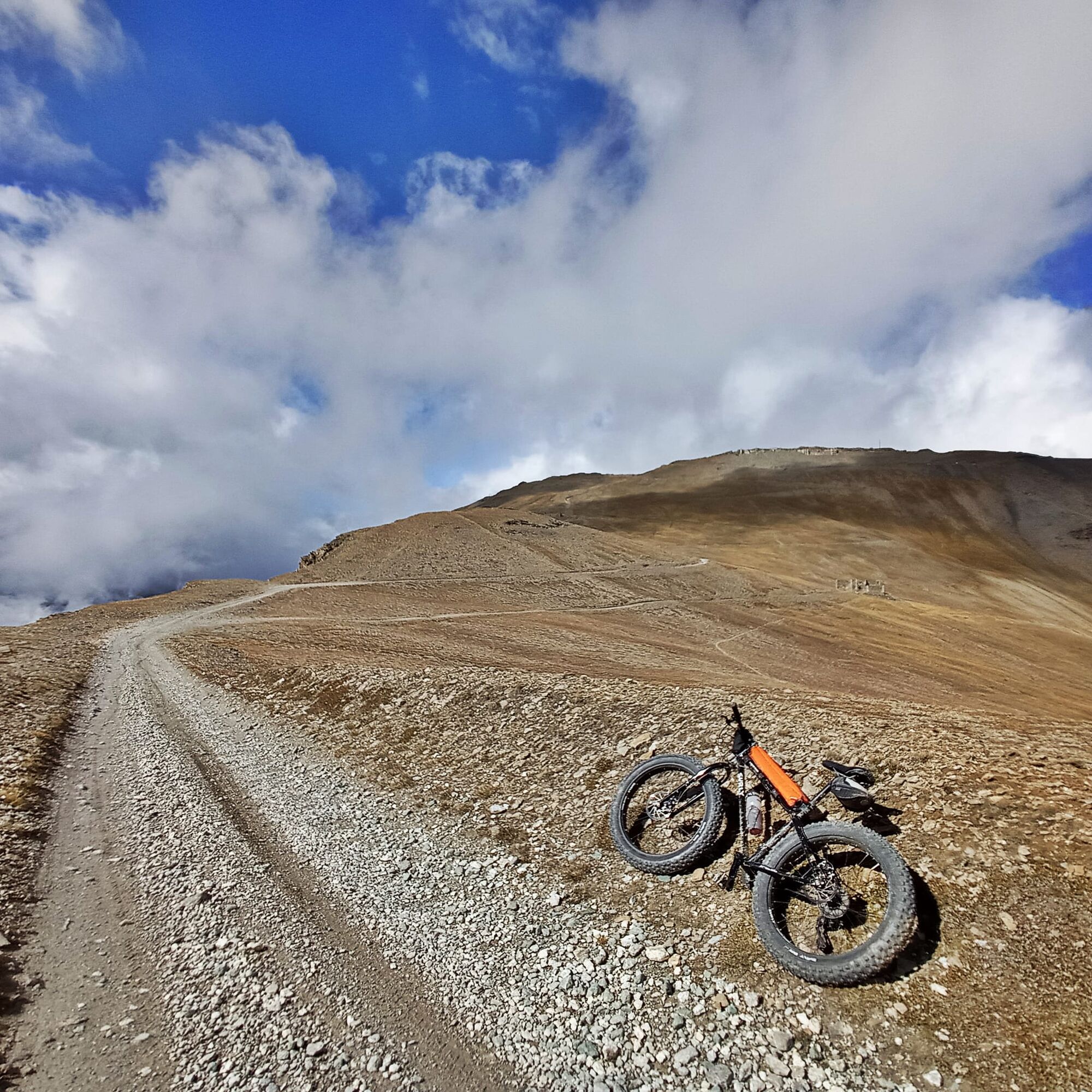
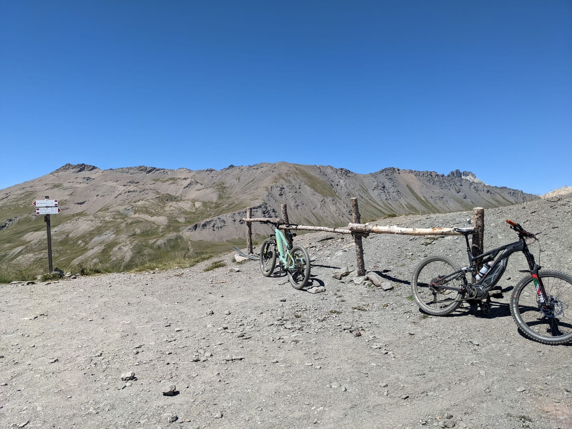
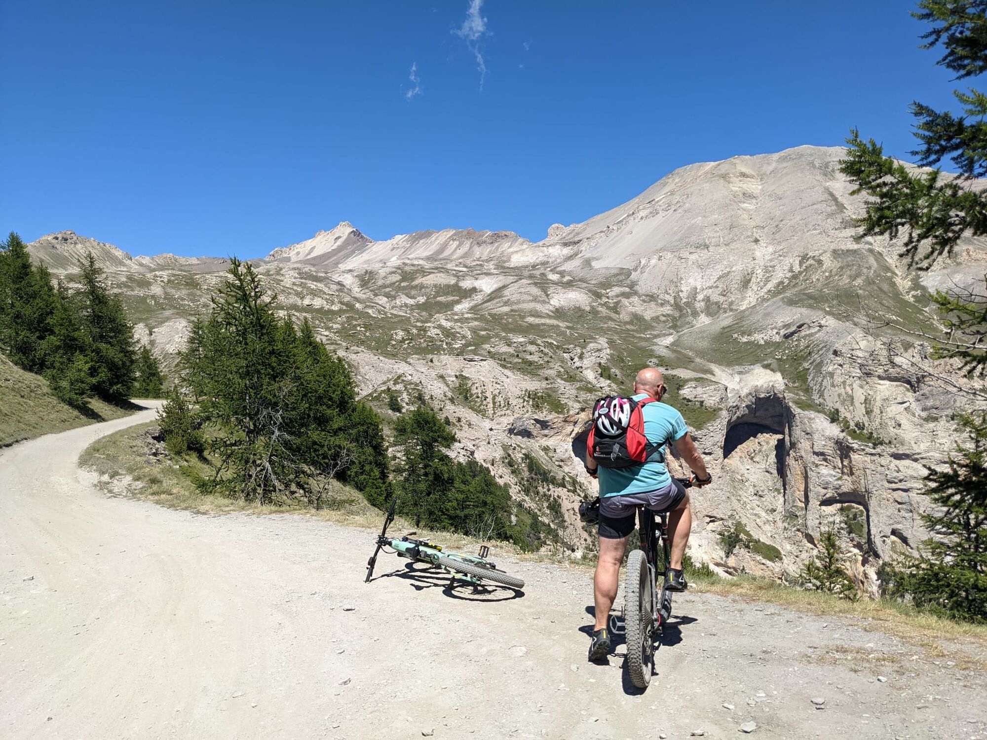
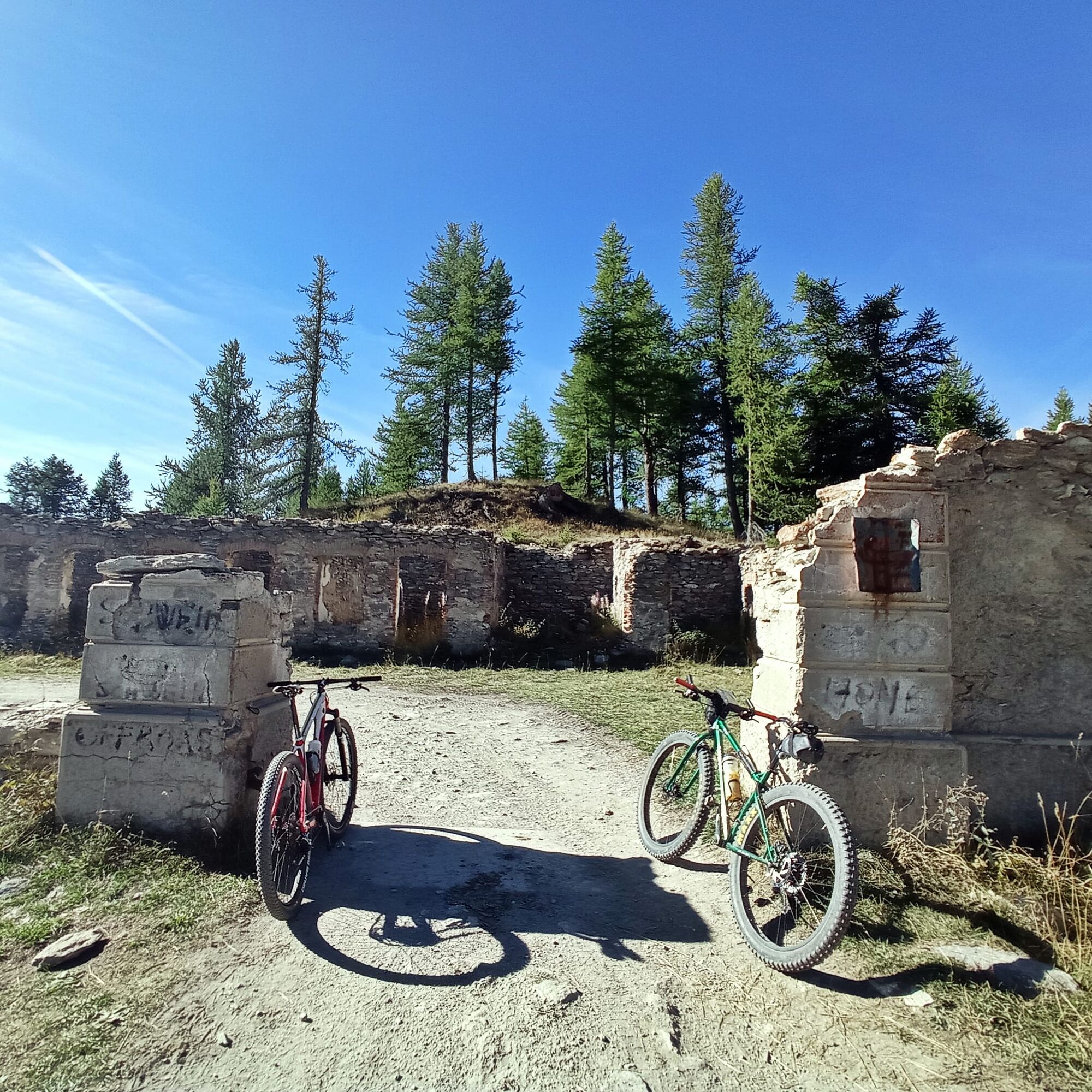
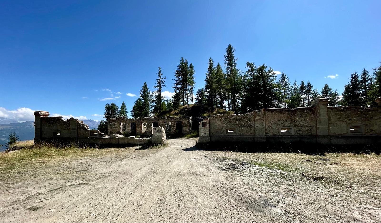

From Piazza Statuto, take Via Sommeiller and then turn right on the bridge following the signs for Millaures and Gleise. Climb along the paved road until you reach the junction for Forte Foens, where the dirt road begins. Climb with some hairpin bends and then proceed along the hillside to Forte Foens. Continue on flat ground and at the junction take the uphill road on the left towards Col Basset. Once at the pass, a long flat traverse leads to the Colletto Jafferau Barracks and then, with some hairpin bends, you reach Forte Jafferau. From here descend along the service road of the ski lifts until you reach the Bacini Frejusia from where, retracing the initial path, you return to Bardonecchia.
Tak
MTB
E-bike
Road closed to motor vehicles from the junction for Forte Foens to Bacini Frejusia on Monday, Tuesday, Thursday, Friday and Sunday.
By car:
- Autostrada A32 Torino - Bardonecchia Bardonecchia exit
- State Road 24: Torino - Oulx and then State Road 335: Oulx - Bardonecchia
Once you reach Bardonecchia head towards Piazza Statuto
By train:
- line Torino Porta Nuova - Bardonecchia
From the Bardonecchia train station head towards Piazza Statuto
Parking in Piazza Statuto (except Saturday morning which is market day)
S2
Bring enough water supplies because along the route there is only a small fountain along the climb in the forest before arriving at Forte Foens
Take a break for a picnic at Forte Foens or Forte Jafferau and enjoy the view of the valley.

Kamery internetowe z trasy



Popularne wycieczki w okolicy
-
5,0
BARDONECCHIA Colle Sommeiller
średniMountainbike 25,4 km -
4,5
BARDONECCHIA Pian del Colle - Valle Stretta
średniRakieta do chodzenia po śniegu 5,02 km -
5,0
BARDONECCHIA Green Lake
światłoWędrówka 2,14 km -
4,7
BARDONECCHIA Col des Acles - Passo della Mulattiera
średniWędrówka 6,23 km -
4,5
BARDONECCHIA Walter Bonatti Path - Grange della Rho
średniWędrówka 6,06 km -
5,0
BARDONECCHIA Decauville
średniWędrówka 7,29 km -
5,0
La Via dei Saraceni (Sauze d'Oulx)
średniMountainbike 33,6 km -
BARDONECCHIA Monte Jafferau
ciężkiWędrówka 11,6 km -
3,5
BARDONECCHIA Sentiero dei Cosetti by Luciano Ferraris
światłoWędrówka 3,24 km -
BARDONECCHIA Lago Verde
światłoMountainbike 10,7 km
Wędrówki i tropienie


Nie przegap ofert i inspiracji na następne wakacje
Twój adres e-mail została dodana do listy mailingowej.





