







BARDONECCHIA Decauville

Poziom trudności: WT1
The route starts from the Bacini Frejusia parking lot or from the arrival of the Frejusia Cable Car and goes into a dense coniferous forest retracing part of the Decauville road until you reach the characteristic...
The route starts from the Bacini Frejusia parking lot or from the arrival of the Frejusia Cable Car and goes into a dense coniferous forest retracing part of the Decauville road until you reach the characteristic U-shaped bridge over the Rio Valfredda.
The route, entirely flat and often groomed by snow machines, is suitable for everyone, including families with children.
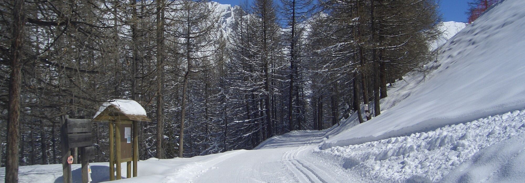
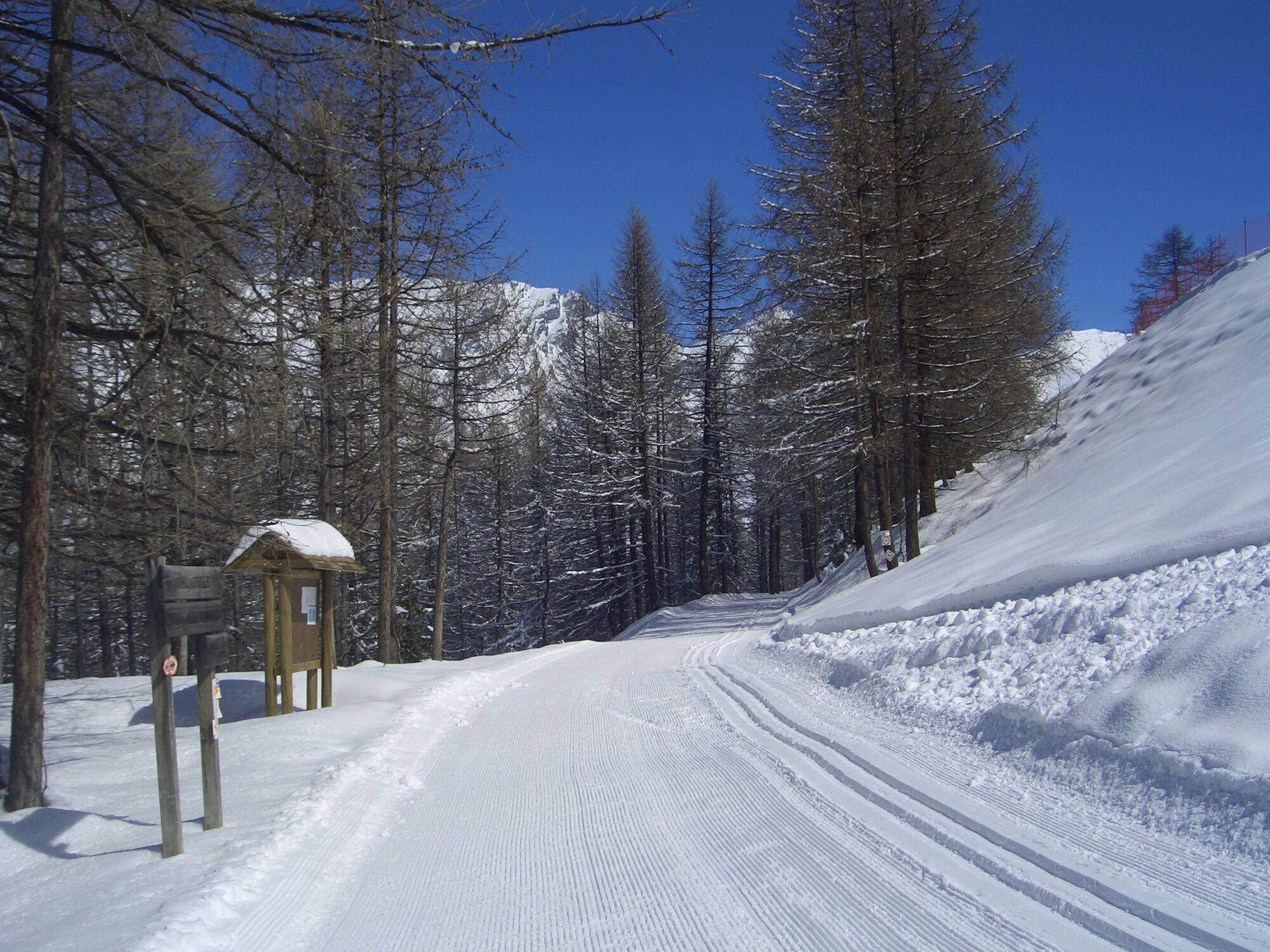
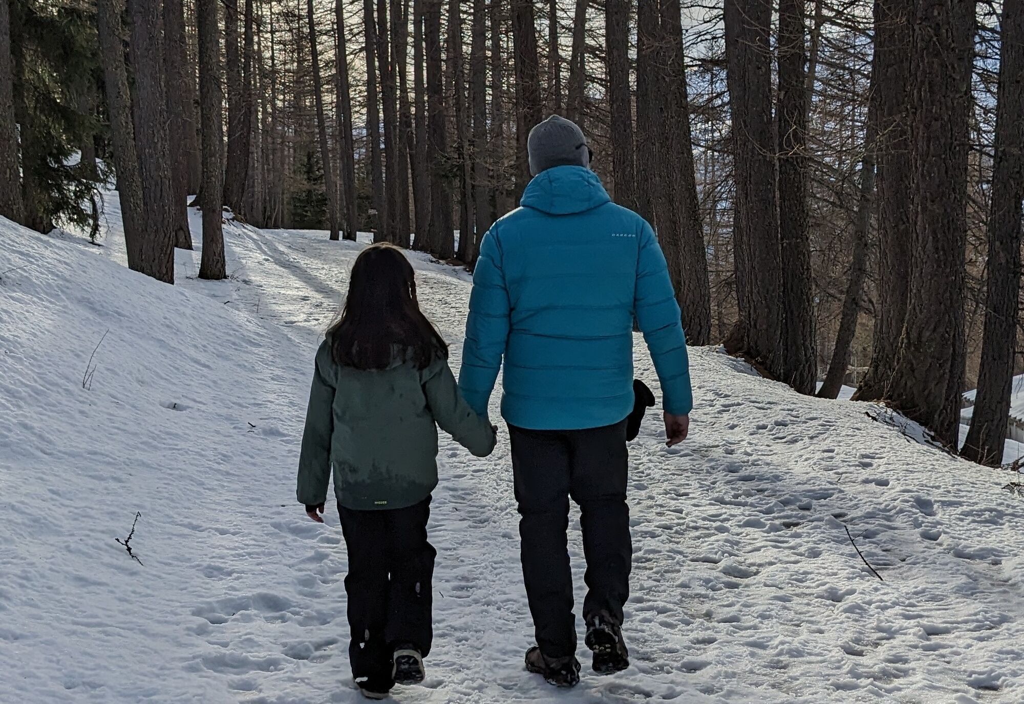
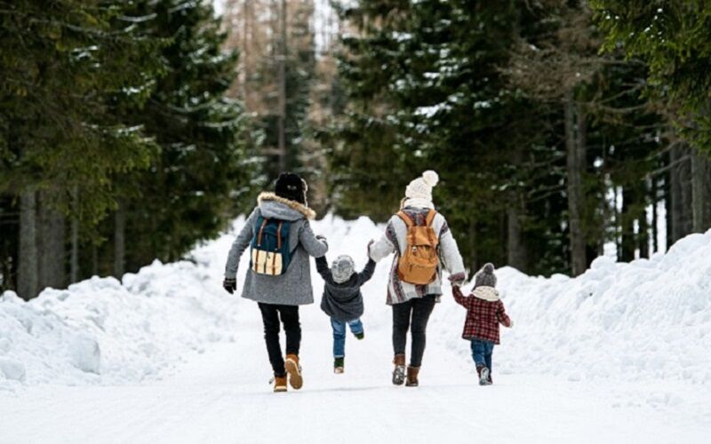
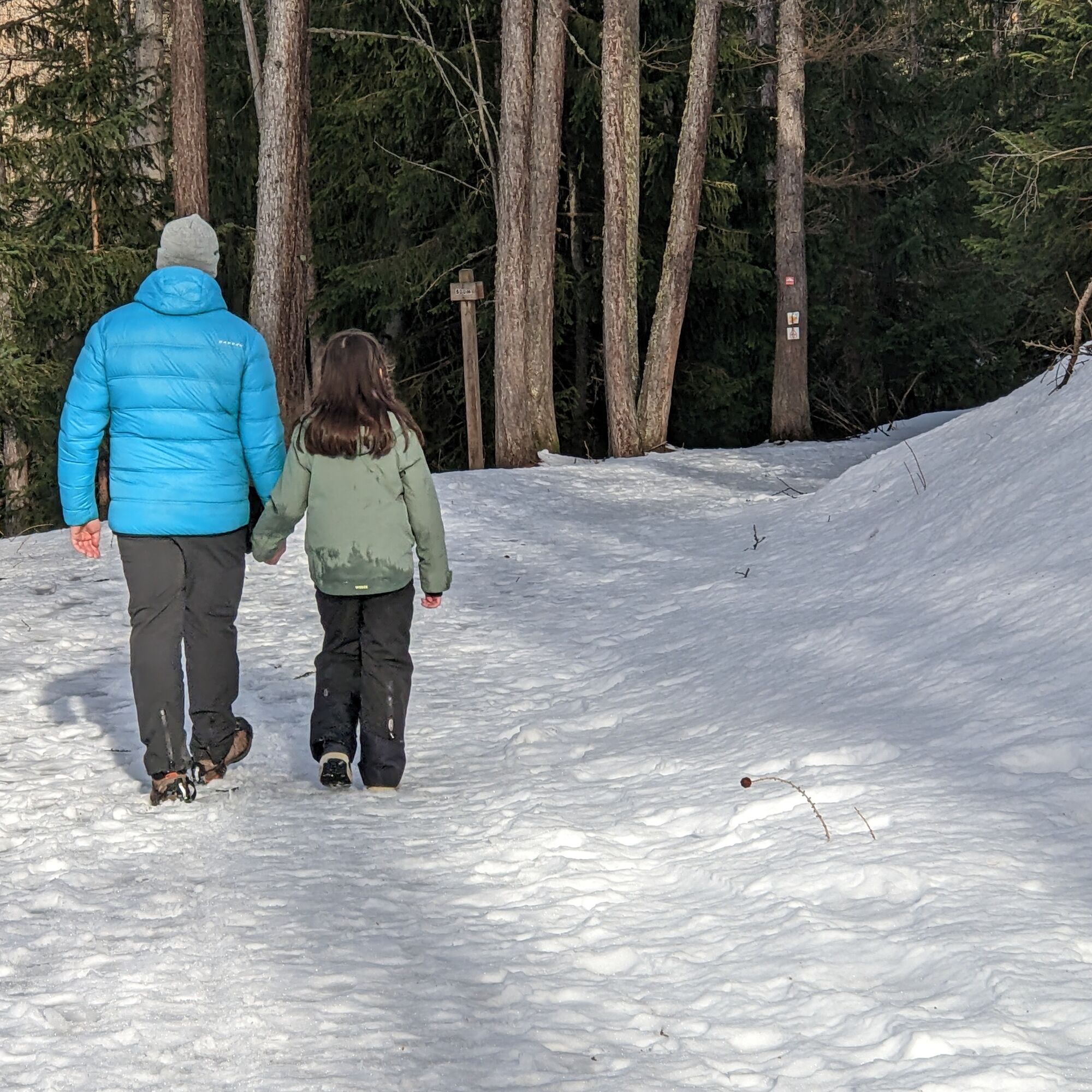

From Bardonecchia, reach by car or cable car the Bacini Frejusia parking lot. At the end of the square starts the Decauville; follow it until you reach the characteristic U-shaped bridge over the Rio Valfredda.
Tak
Tak
Appropriate clothing and footwear for the winter mountain environment.
Snowshoes – poles - ARVA - Shovel - Probe (snow hiking activity requires the use of electronic signaling and search systems as provided by Legislative Decree no. 40/2021 art. 26)
Under certain conditions the route can be undertaken wearing only boots and crampons.
Before undertaking any excursion it is recommended to:
- get information from the Tourist Offices or Alpine Guides
- check the weather and avalanche bulletins of ARPA Piemonte on www.arpa.piemonte.it/bollettini
In case of marked avalanche danger it is discouraged to undertake any excursion.
The route is normally groomed by snow machines but there is no daily or periodic surveillance and maintenance service.
The difficulty grade indicated in each route may vary depending on the snow cover conditions.
By car:
- Autostrada A32 Turin - Bardonecchia, Bardonecchia exit
- State Road 24: Turin - Oulx and then State Road 335: Oulx - Bardonecchia
Once you reach Bardonecchia, head towards the hamlets of Millaures and Le Gleise, pass them and reach Bacini Frejusia (7 km),
By train:
- line Turin Porta Nuova - Bardonecchia
Once you reach Bardonecchia from Via Torino (100 m from the train station), take the free shuttle Line 7 to the Jafferau square from where the cable car departs.
To know the shuttle schedules click here.
From the Jafferau square take the Frejusia Cable Car that goes to Bacini Frejusia.
To know the opening times and fares of the cable car click here.
At Bacini Frejusia there is a large dirt parking area.
WT1
Savor a typical dish at the Bar Ristorante Telecabina Bar & Kitchen.


Popularne wycieczki w okolicy
-
5,0
BARDONECCHIA Colle Sommeiller
średniMountainbike 25,4 km -
5,0
BARDONECCHIA Forte Jafferau Loop
ciężkiMountainbike 36,8 km -
4,5
BARDONECCHIA Pian del Colle - Valle Stretta
średniRakieta do chodzenia po śniegu 5,02 km -
5,0
BARDONECCHIA Green Lake
światłoWędrówka 2,14 km -
4,7
BARDONECCHIA Col des Acles - Passo della Mulattiera
średniWędrówka 6,23 km -
4,5
BARDONECCHIA Walter Bonatti Path - Grange della Rho
średniWędrówka 6,06 km -
5,0
BARDONECCHIA Decauville
średniWędrówka 7,29 km -
5,0
La Via dei Saraceni (Sauze d'Oulx)
średniMountainbike 33,6 km -
BARDONECCHIA Monte Jafferau
ciężkiWędrówka 11,6 km -
GR® 57 Tour de la Haute-Clarée
średniWędrówka 83,8 km

Wędrówki i tropienie


Nie przegap ofert i inspiracji na następne wakacje
Twój adres e-mail została dodana do listy mailingowej.





