







BARDONECCHIA Caserma L - Pian dei Morti
Poziom trudności: T1
The route retraces the military road leading to Colle La Rho. The first section runs through a deciduous forest and then reaches an elevation where the vegetation thins and the view opens over the valley.
The route retraces the military road leading to Colle La Rho. The first section runs through a deciduous forest and then reaches an elevation where the vegetation thins and the view opens over the valley.

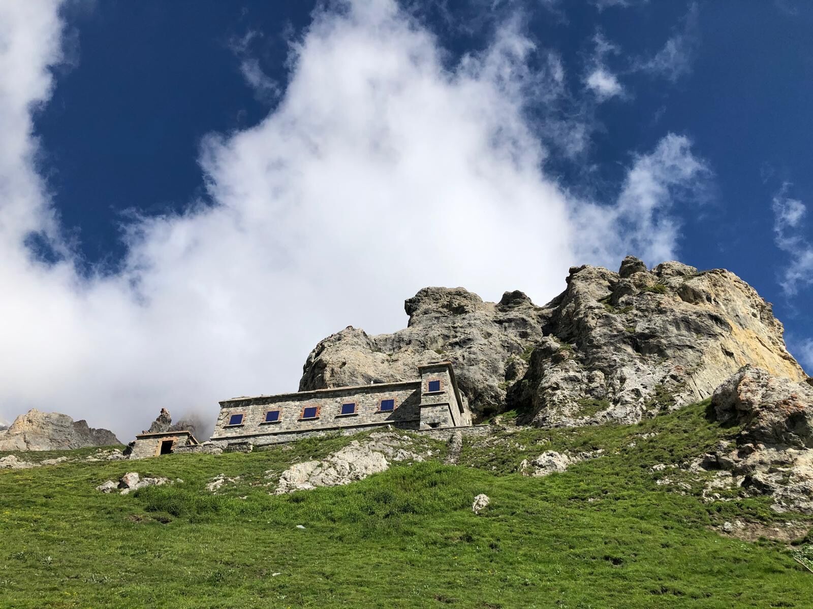
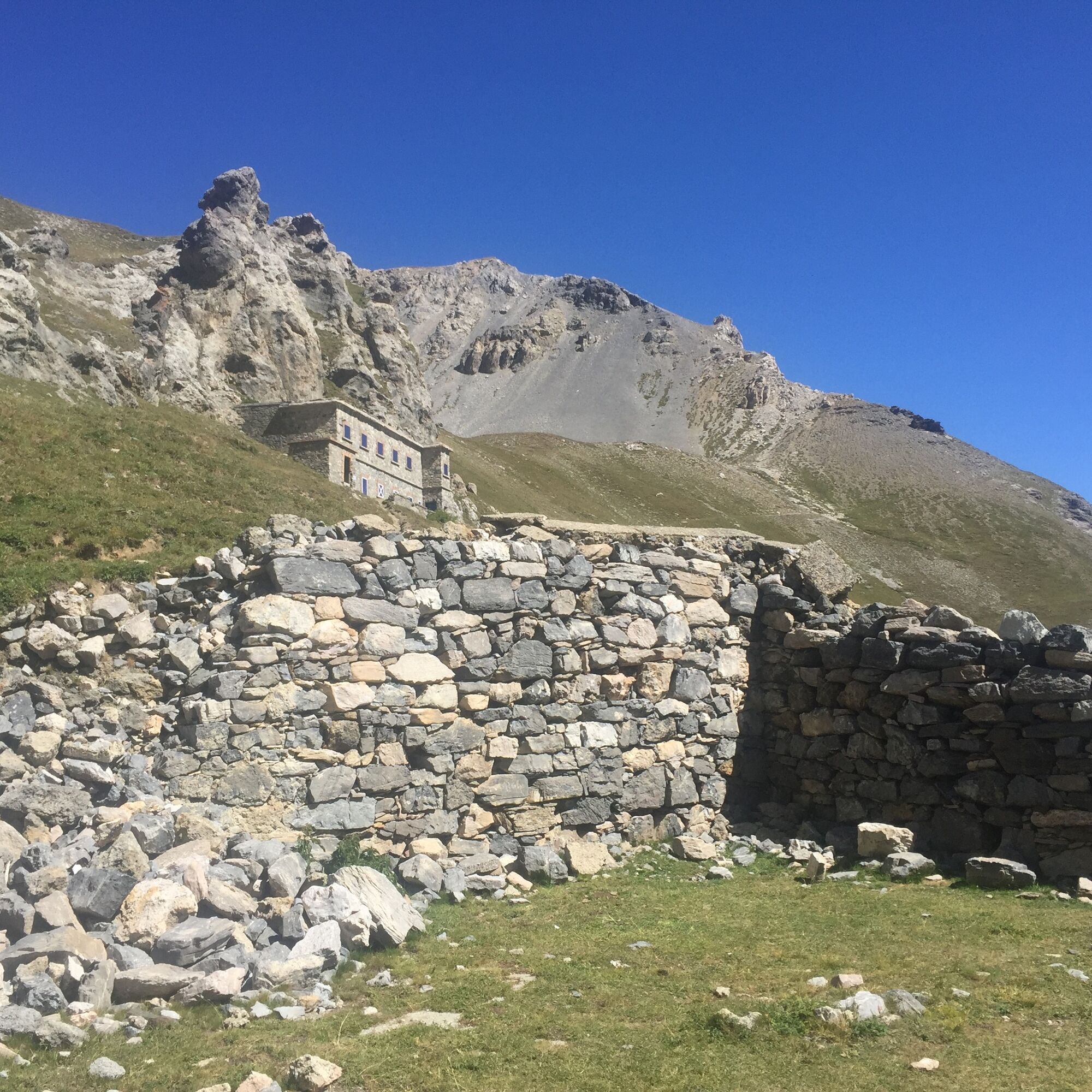
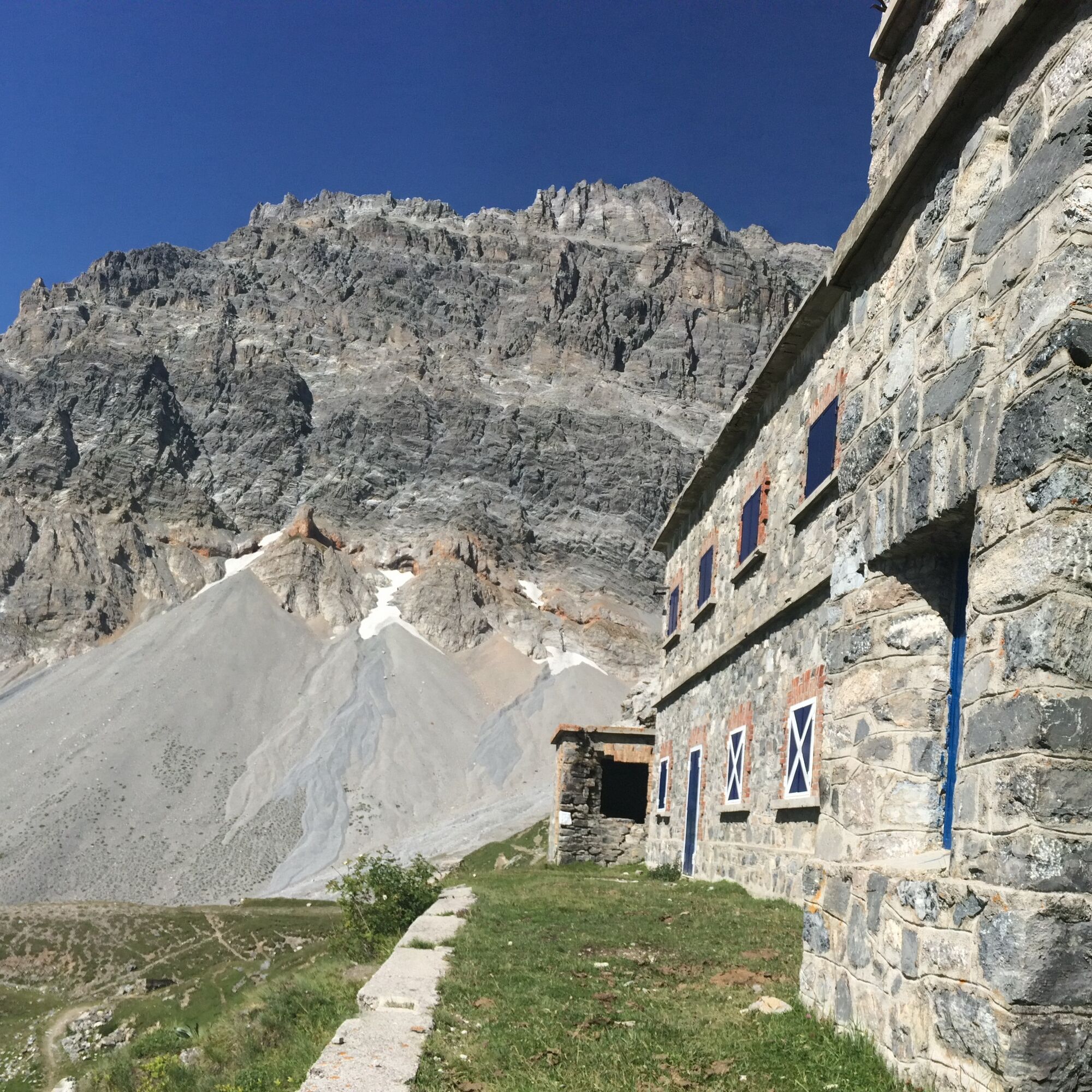
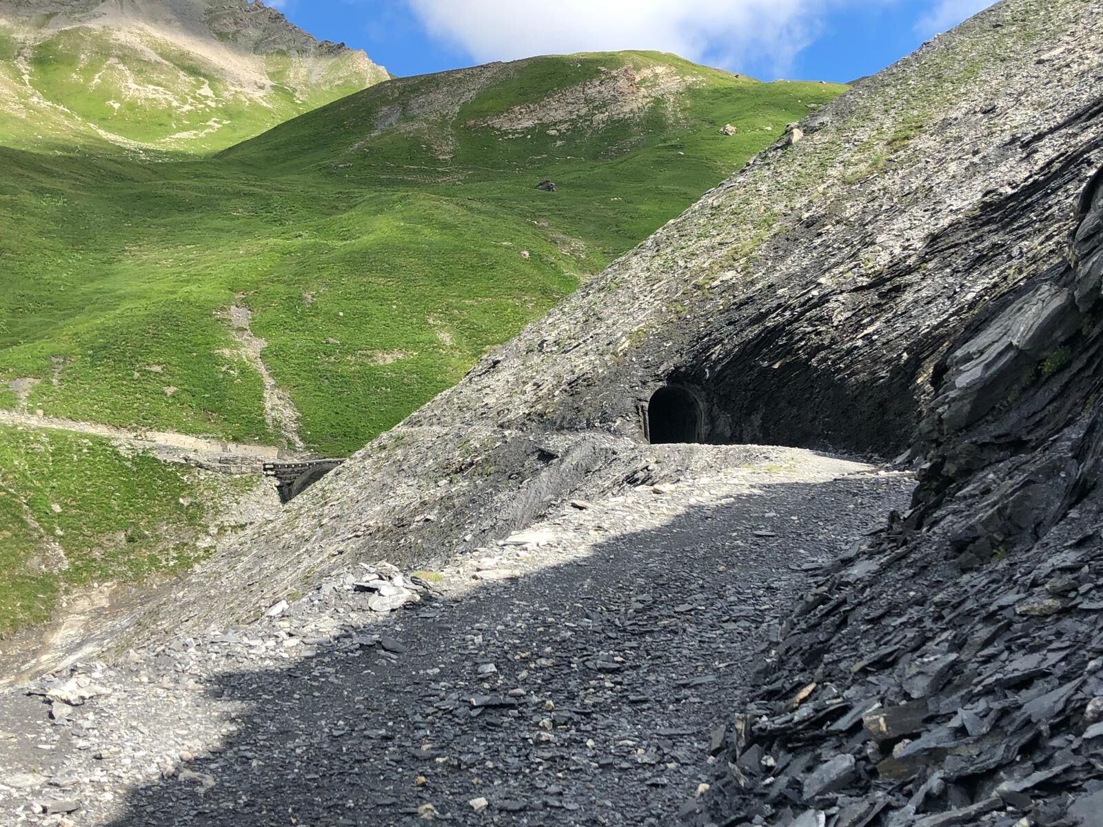
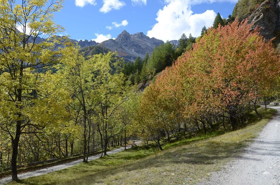
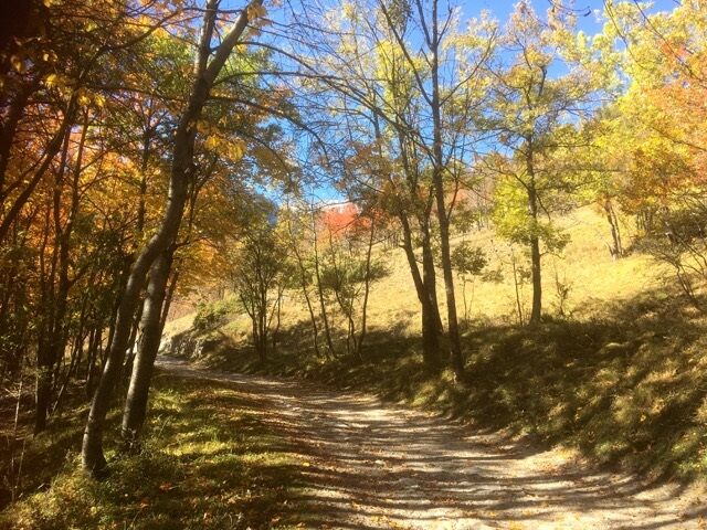

Reach by car the small parking lot located above the Tur d’Amun in Borgo Vecchio, at the junction between Valle del Frejus and Granges La Rho. Take on foot the mule track which with several hairpin bends leads to Grange La Rho and, just before the village, continue right on the military road; enter the valley, pass through a tunnel and some stone bridges (Alpine Wall military works) until you reach Pian dei Morti where Caserma L (fifty in Roman numerals) is located.
Hiking shoes
By car:
- A32 Motorway Turin - Bardonecchia, Bardonecchia exit
- State Road 24: Turin - Oulx and then State Road 335: Oulx - Bardonecchia
Once you reach Bardonecchia, head towards Borgovecchio, take Via Pra d'la Cumba and reach the junction between Valle del Frejus and Granges La Rho.
At the junction between Valle del Frejus and Granges La Rho, there are two small parking lots.
T1
Bring water with you; there are no fountains along the route
Have a picnic at Pian dei Morti and enjoy the view over the valley.
Caserma L was built in 1937 as part of the wider project of construction of the Alpine Wall military works. It is now privately owned. Below the barrack, the remains of the cable car arrival are still visible.

 Uzyskaj wgląd
Zawsze na żywo z ponad 9 500 kamer internetowych. bergfex Jako użytkownik Pro, możesz teraz zobaczyć odpowiednie kamery internetowe dla wielu wycieczek w aplikacji wycieczki od. Pozwala to na bezpośredni podgląd aktualnych warunków.
Uzyskaj wgląd
Zawsze na żywo z ponad 9 500 kamer internetowych. bergfex Jako użytkownik Pro, możesz teraz zobaczyć odpowiednie kamery internetowe dla wielu wycieczek w aplikacji wycieczki od. Pozwala to na bezpośredni podgląd aktualnych warunków.
Popularne wycieczki w okolicy
-
5,0
BARDONECCHIA Colle Sommeiller
średniMountainbike 25,4 km -
4,5
BARDONECCHIA Pian del Colle - Valle Stretta
średniRakieta do chodzenia po śniegu 5,02 km -
5,0
BARDONECCHIA Forte Jafferau Loop
ciężkiMountainbike 36,8 km -
5,0
BARDONECCHIA Green Lake
światłoWędrówka 2,14 km -
4,5
BARDONECCHIA Walter Bonatti Path - Grange della Rho
średniWędrówka 6,06 km -
5,0
BARDONECCHIA Decauville
średniWędrówka 7,29 km -
5,0
BARDONECCHIA Col des Acles - Passo della Mulattiera
średniWędrówka 6,23 km -
BARDONECCHIA Monte Jafferau
ciężkiWędrówka 11,6 km -
BARDONECCHIA Lago Verde
światłoMountainbike 10,7 km -
3,5
BARDONECCHIA Sentiero dei Cosetti by Luciano Ferraris
światłoWędrówka 3,24 km
Wędrówki i tropienie


Nie przegap ofert i inspiracji na następne wakacje
Twój adres e-mail została dodana do listy mailingowej.





