







Lens - Statue of Christ the King
The hike is of easy to medium difficulty. You will pass through the village streets, at the foot of the bell tower whose carillon consists of 24 bells. Then a few dozen meters to the right, you will see...
The hike is of easy to medium difficulty. You will pass through the village streets, at the foot of the bell tower whose carillon consists of 24 bells. Then a few dozen meters to the right, you will see the Manor. The path then begins its ascent towards the "Christ the King" center, then it leaves the built-up area to first reach the football stadium before beginning the climb up the hill on which you see the Statue erected in 1935. Along the ascent are the different stations of a Way of the Cross. From the summit, the return is by the same path. (DR)

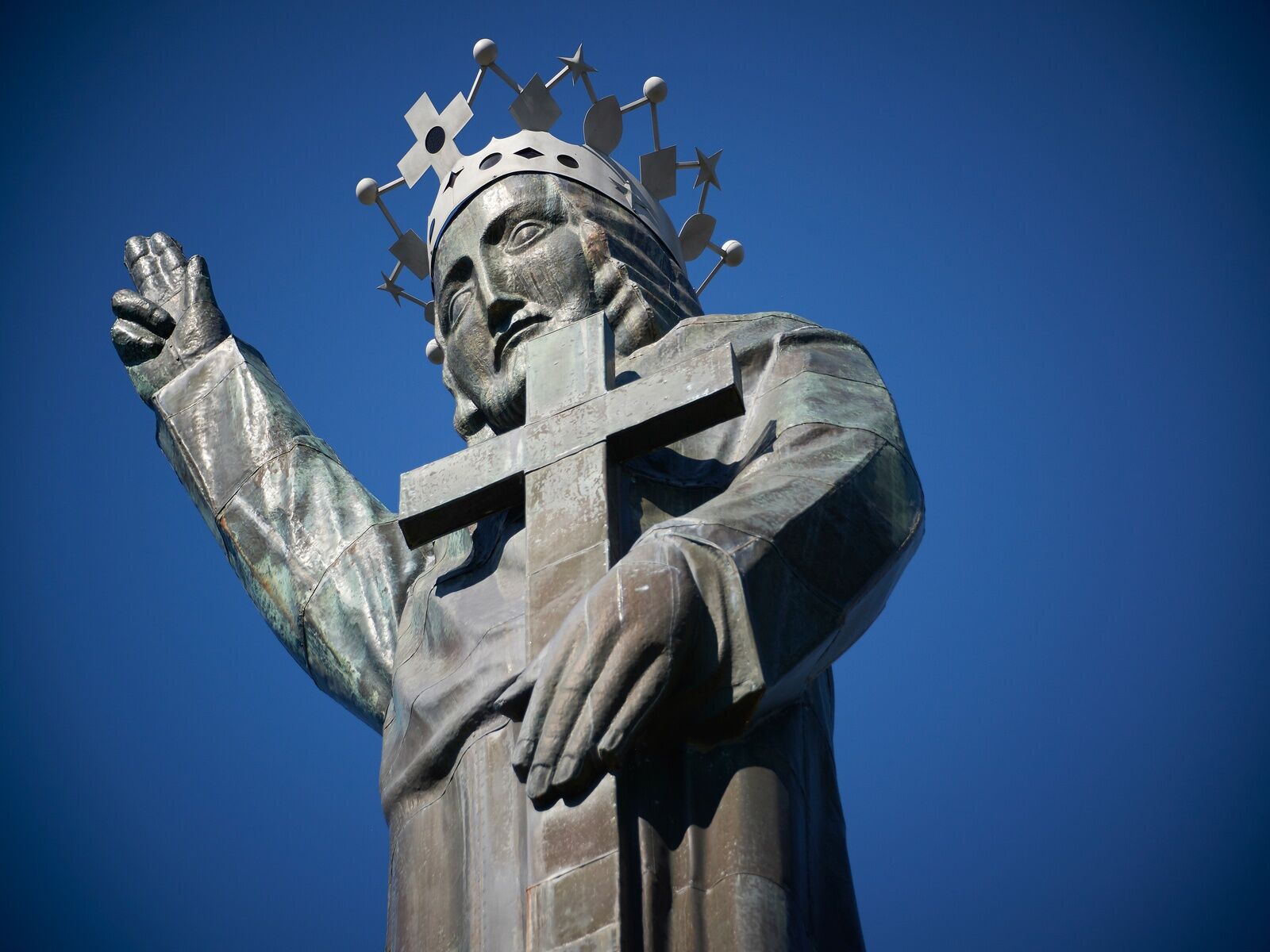
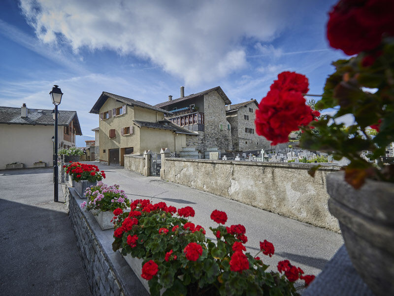

Departure from Lens at the bus stop "Fondation Opale" - Main Street - Chemin du Châtelard - Arrival at the Statue of Christ the King
Tak
Good walking shoes.
The weather changes rapidly at altitude, so be prepared to dress accordingly.
Follow the marked trails. Please respect the fauna and flora: nature.
Check the weather conditions before you set out.
Crans-Montana Tourism & Congress declines all responsibility in case of accident.
To reach Lens by car, take the exit from the A9 motorway (Rhône motorway) called "Sierre ouest." At the motorway exit, turn left and follow the signs for "Sierre." At the roundabout, turn right. Continue for 500 meters, then at the entrance of Sierre, turn left toward "Crans-Montana." About 1 km after the village of Chermignon d'en Bas, take the second exit at the roundabout towards Lens. The journey time from Sierre is about 15 minutes. Once you arrive in Lens, follow the signs to reach Pramounir parking.
SMC buses depart from the Sierre train station. Take bus 421 toward Crans-Montana and get off at the stop "Lens, Centre d'Art".
Pramounir Parking:
- Parking disc required except on Sundays, Saturdays and public holidays
- Maximum duration 15:00, except on Sundays, Saturdays and public holidays
For any other information: www.crans-montana.ch/rando
The hike can also be extended towards the plain to the south. You will then cross the Chemin de la Verreille which will lead you back to the village. Further down you will encounter the Grand Bisse de Lens from where you can head to Icogne upstream or to Chermignon-d'en-Bas by following the course of the bisse.
Uzyskaj wgląd Zawsze na żywo z ponad 9 500 kamer internetowych. bergfex Jako użytkownik Pro, możesz teraz zobaczyć odpowiednie kamery internetowe dla wielu wycieczek w aplikacji wycieczki od. Pozwala to na bezpośredni podgląd aktualnych warunków. Popularne wycieczki w okolicy
- 5,0
Bisse du Ro
światłoWędrówka 11,2 km - 4,2
Grand Bisse de Lens
światłoWędrówka 8,73 km - 4,0
Tripon - Brac – Ancien Bisse du Torrent Neuf – St. Marguerite – Torrent Neuf – Prafirmin - St. Germain
światłoWędrówka 12,9 km - 5,0
Family-friendly Tsittoret bisse
światłoWędrówka 7,14 km - 4,0
Belvédère via ferrata
średniVia ferrata 1,81 km - 5,0
Grand bisse d’Ayent
średniWędrówka 11,7 km - 4,0
Around the Tseuzier Reservoir
światłoWędrówka 4,58 km - 5,0
Wildstrubel Umrundung 4-Tage
średniWędrówka 79,1 km - 5,0
Bisse du Tsittoret (125th)
ciężkiWędrówka 13,4 km - 4,5
Sentier viticole / Wine trail
światłoWędrówka 7,49 km
Wędrówki i tropienie


Nie przegap ofert i inspiracji na następne wakacje
Twój adres e-mail została dodana do listy mailingowej.





