







Bisse du Tsittoret (125th)
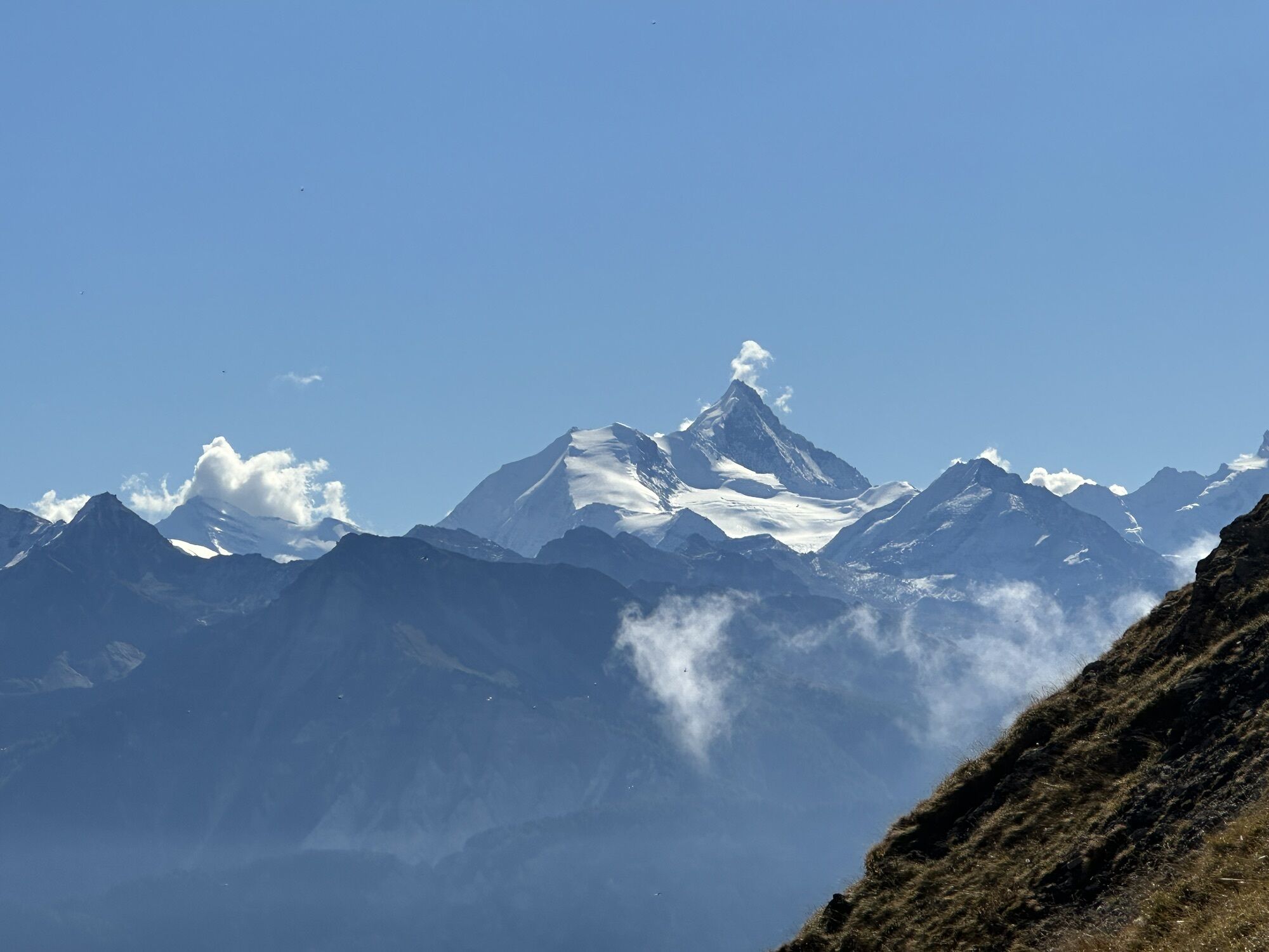
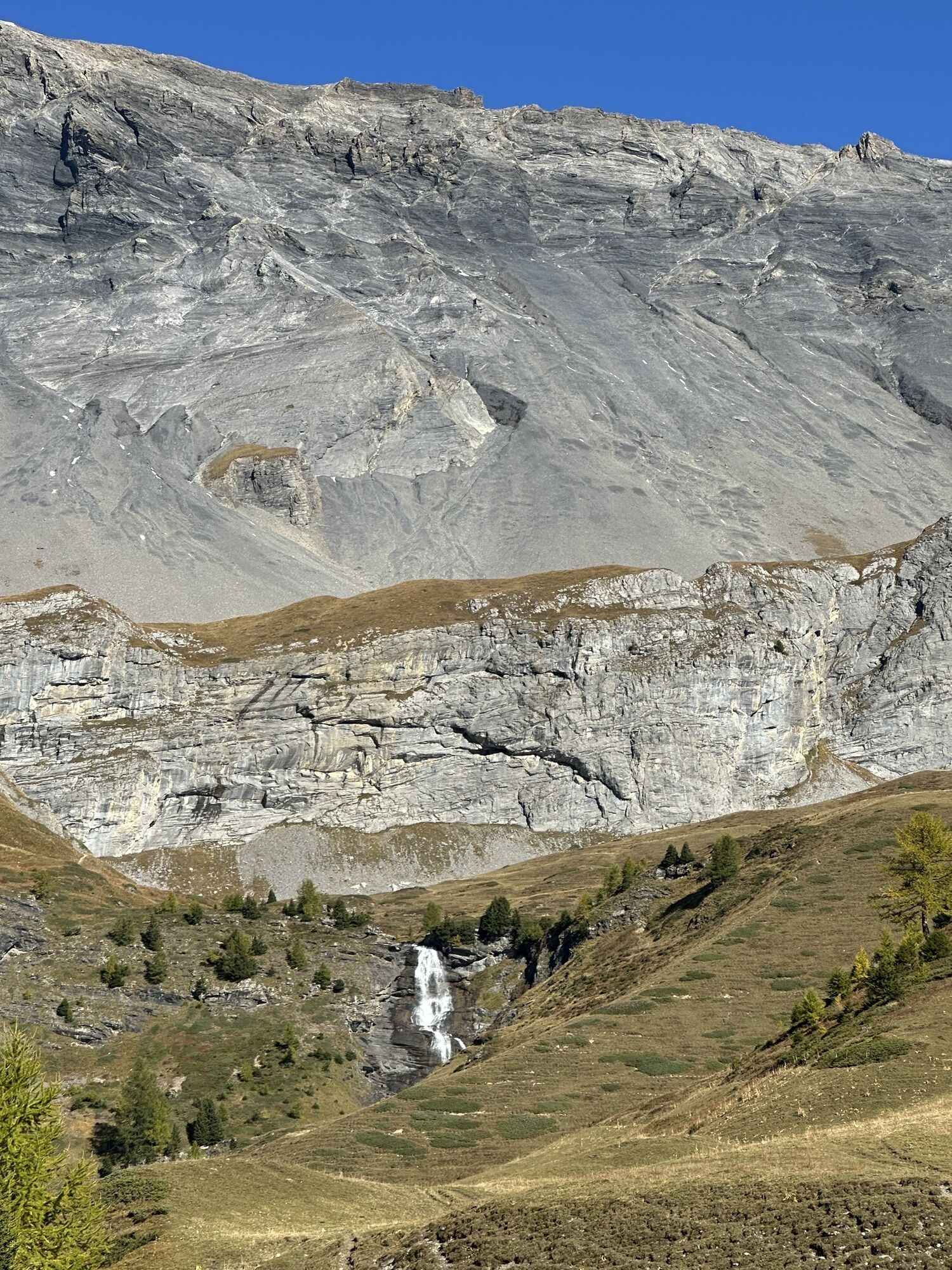
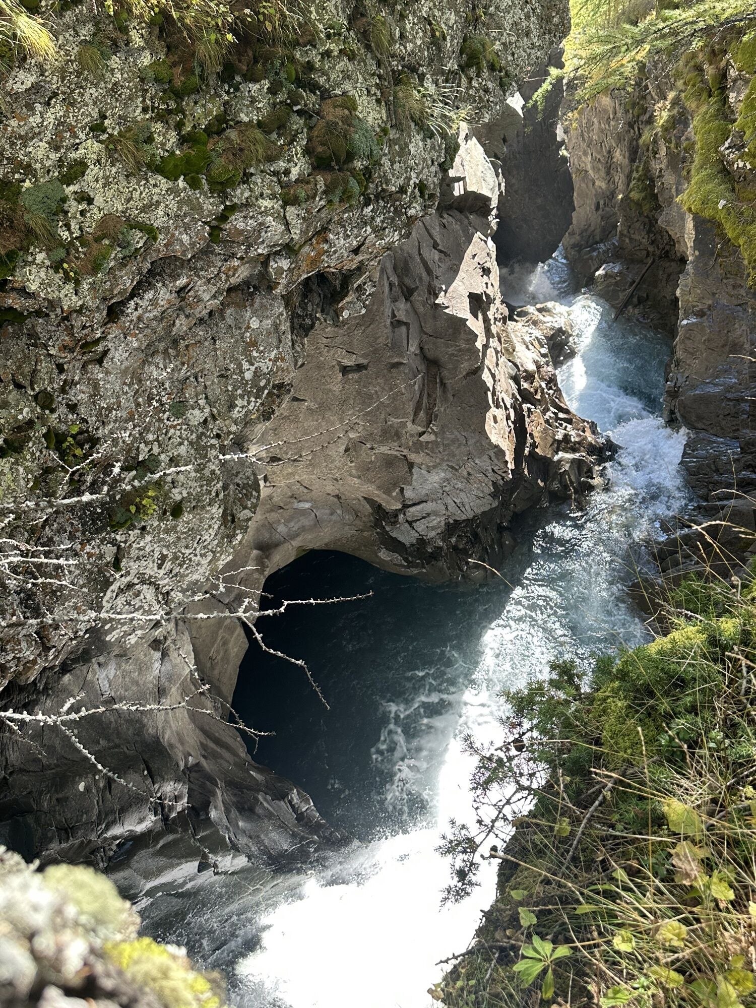
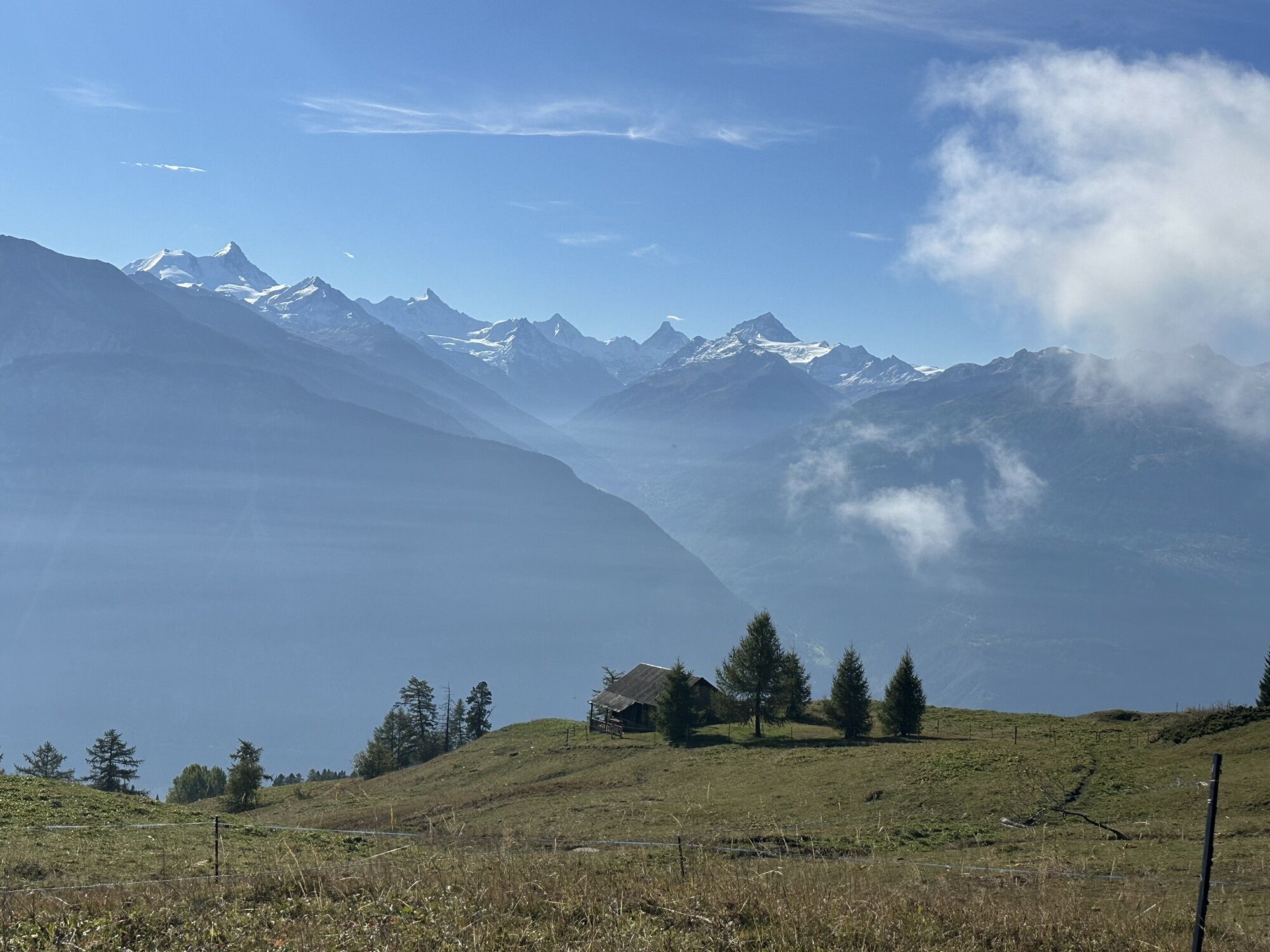
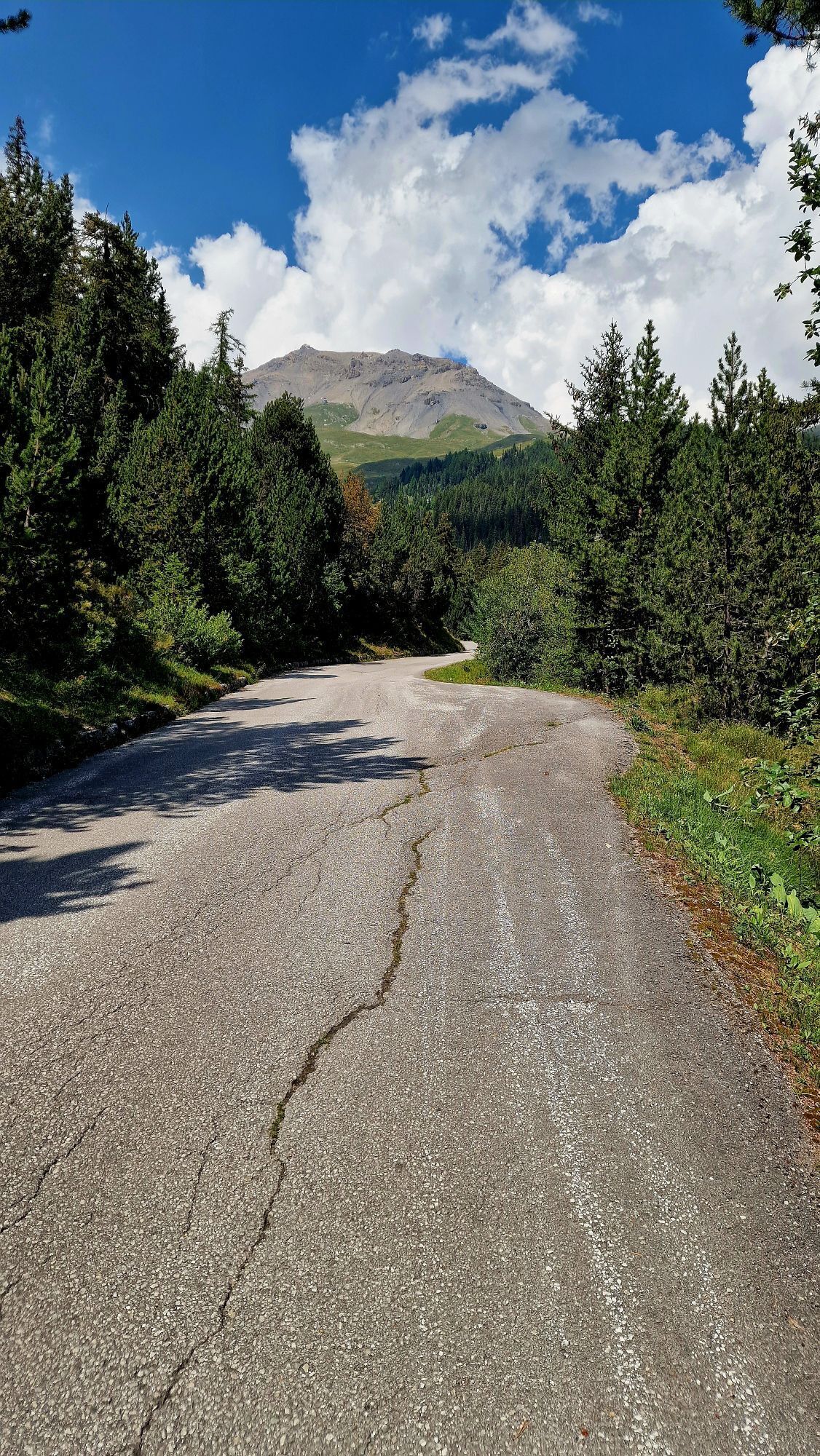
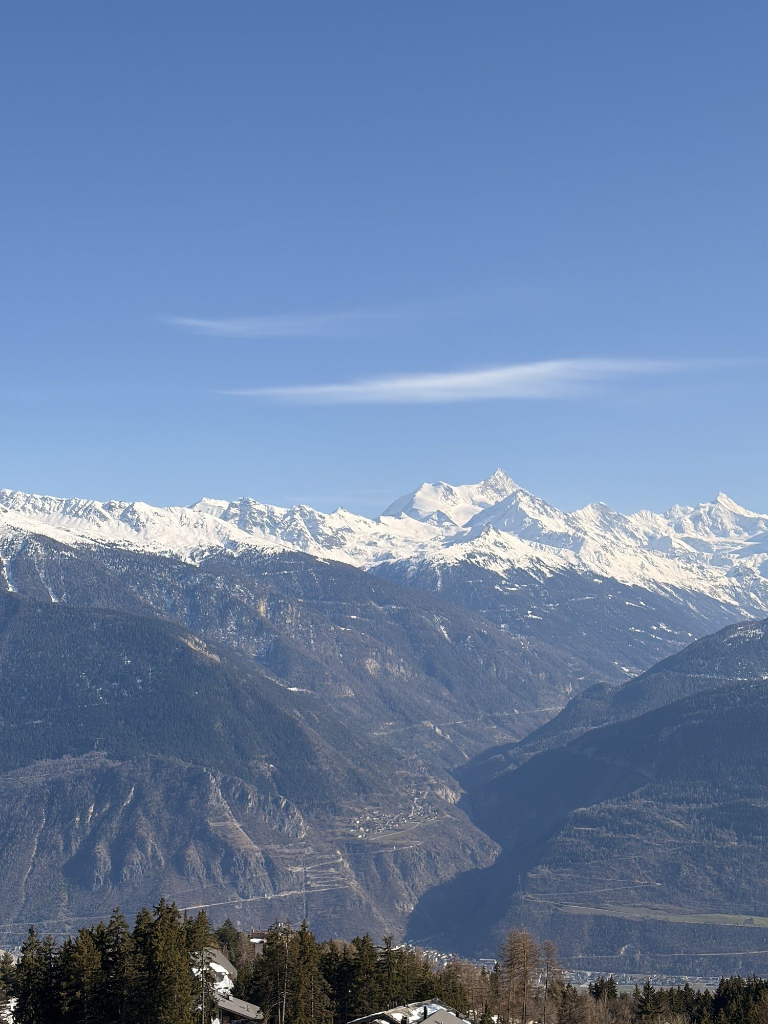
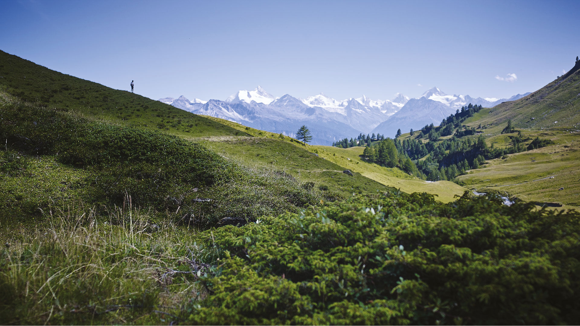
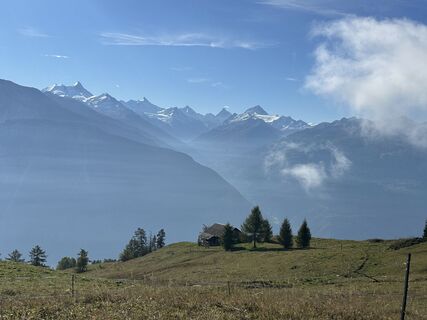
The walk along the Tsittoret is most often done by following the bisse course from Vermala. Occasionally, admire the exceptional panorama: La Dent Blanche, the Matterhorn, Obergabelhorn, Zinalrothorn,...
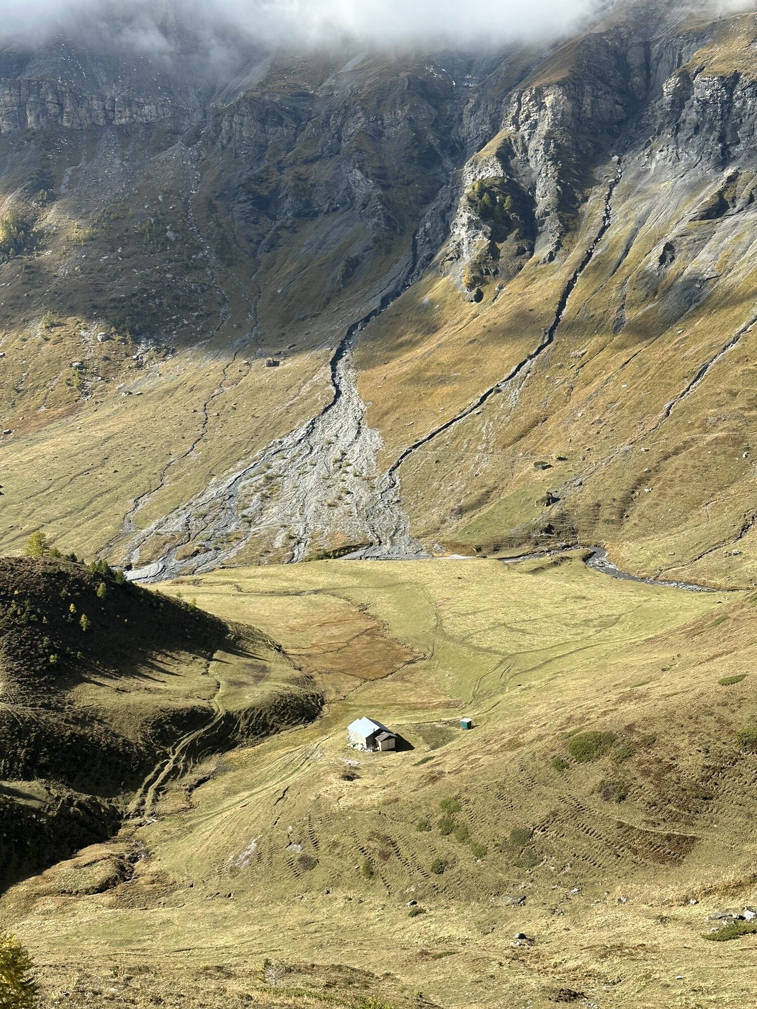
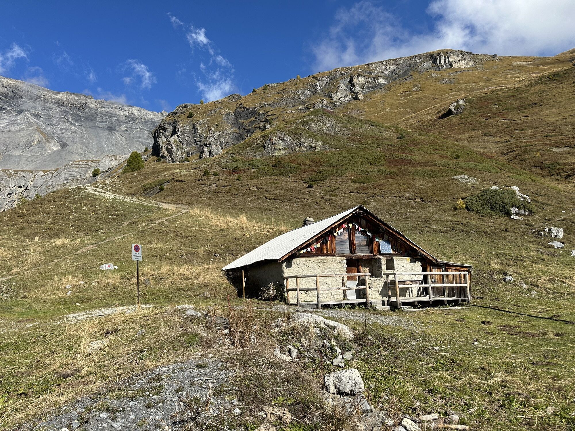
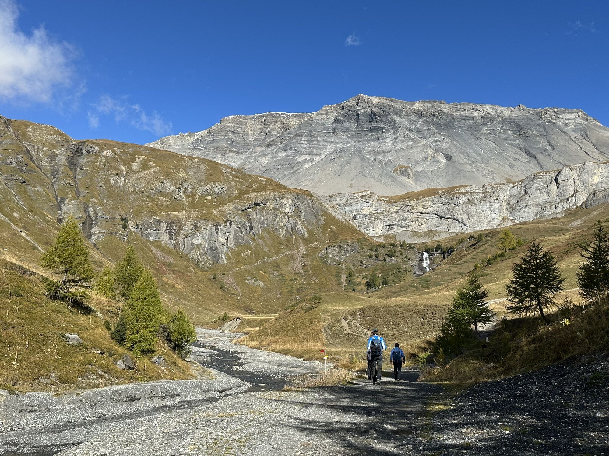
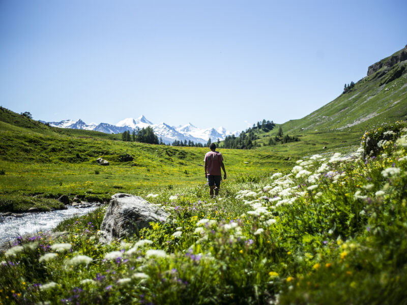
The walk along the Tsittoret is most often done by following the bisse course from Vermala. Occasionally, admire the exceptional panorama: La Dent Blanche, the Matterhorn, Obergabelhorn, Zinalrothorn, Weisshorn, etc., all good reasons to catch your breath. During your route, a stop at the Hameau de Colombire is a must. Here, you will discover how life was organized in the mayen, this typical Valais building used as accommodation for shepherds who would take their herd to summer in the alpine pasture. You will also find a restaurant where you can refresh yourself and taste some local cheeses and cured meats. The rest of the route is the most beautiful water section. It flows along a gentle slope, generally wooded, rich in varied flora. The view is simply magical. As well as exploring the Tièche Valley, this walk takes you up to the upper waterfall, where the giant letter A is hidden.

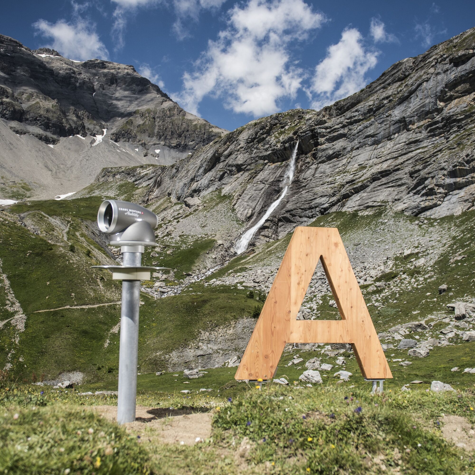
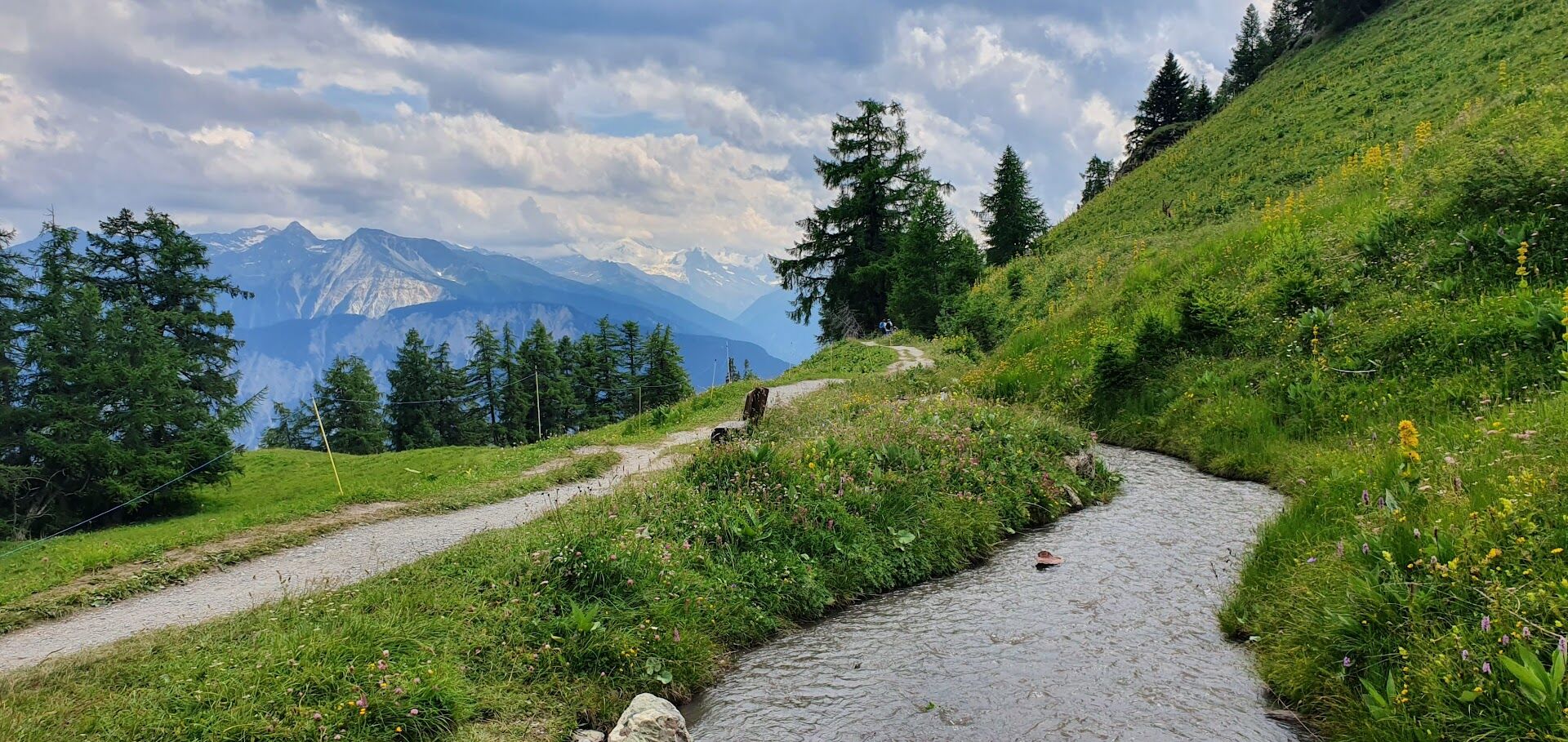
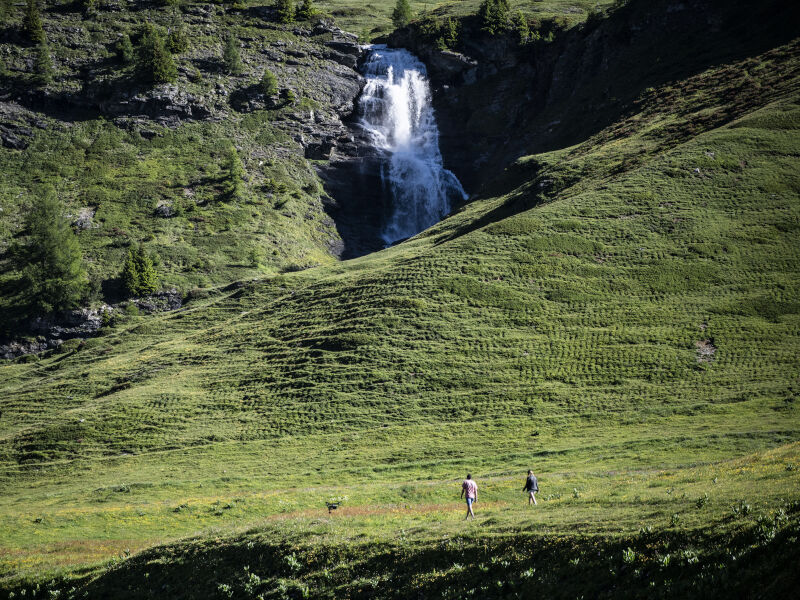
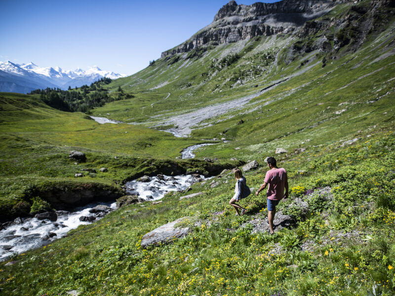
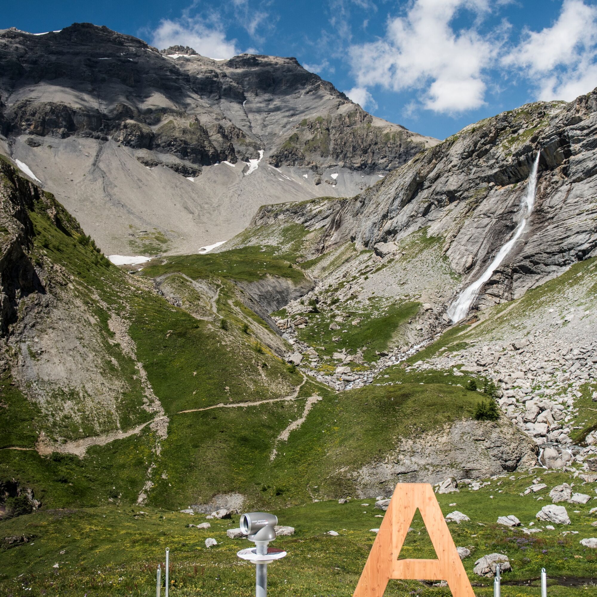

Start from Vermala, near the restaurant Le Cervin - Marolires - above Plumachit - Hameau de Colombire - Cave du Sex - La Tièche (waterfall) - Cabane de la Tièche - Giant letter A - Montagne du Plan - Montagne du Sex - Cabane de la Tièche - Cave de Merdechon - Hameau de Colombire, Aminona
Tak
Good walking shoes.
The weather changes quickly in the altitude, so plan to bring clothes accordingly.
Follow the marked trails. Please respect wildlife and plants: nature.
Check the weather conditions before your departure.
Crans-Montana Tourism & Congress declines all responsibility in case of accident.
To reach Crans-Montana by car, take the A9 motorway exit (Rhône motorway) named "Sierre West". At the motorway exit, turn left and follow the signs indicating "Sierre". At the roundabout, turn right. Continue for 500 meters then at the entrance to Sierre, turn left towards "Crans-Montana". The journey lasts about 25 minutes. Once arrived in Crans-Montana, follow the signs to reach Vermala.
The Crans-Montana resort is accessible from Sierre train station with the SMC bus company or the funicular, as well as from Sion train station with postal buses.
The free shuttles of the SMC bus company serve the entire Crans-Montana resort.
The closest stop to the hike is "Vermala" on line 432.
A paid parking is available at the start of the hike, in Vermala.
The bisse also forms the route of the Chemin de l'air, a trail made up of panels on the theme of air and atmospheric pollution and created by the State of Valais.
 Uzyskaj wgląd
Zawsze na żywo z ponad 9 500 kamer internetowych. bergfex Jako użytkownik Pro, możesz teraz zobaczyć odpowiednie kamery internetowe dla wielu wycieczek w aplikacji wycieczki od. Pozwala to na bezpośredni podgląd aktualnych warunków.
Uzyskaj wgląd
Zawsze na żywo z ponad 9 500 kamer internetowych. bergfex Jako użytkownik Pro, możesz teraz zobaczyć odpowiednie kamery internetowe dla wielu wycieczek w aplikacji wycieczki od. Pozwala to na bezpośredni podgląd aktualnych warunków.


Popularne wycieczki w okolicy
-
5,0
Bisse du Ro
światłoWędrówka 11,2 km -
4,2
Grand Bisse de Lens
światłoWędrówka 8,73 km -
4,7
Leukerbad - Gemmipass - Lämmerenhütte
średniWędrówka 9,49 km -
5,0
Restipass
Wędrówka 14,5 km -
4,0
Gemmipass - Lämmerenhütte - Rote Totz Lücke - Daubensee - Gemmipass
średniWędrówka 13,7 km -
5,0
Torrenthorn- Rigi der Walliser Alpen
Wędrówka 2,99 km -
Zu den Engstligenfällen
średniWędrówka 8,06 km -
5,0
Klettersteig Daubenhorn
ciężkiVia ferrata 5,34 km -
Gratweg
Via ferrata 5,16 km -
5,0
Grand bisse d’Ayent
średniWędrówka 11,7 km

Wędrówki i tropienie


Nie przegap ofert i inspiracji na następne wakacje
Twój adres e-mail została dodana do listy mailingowej.





